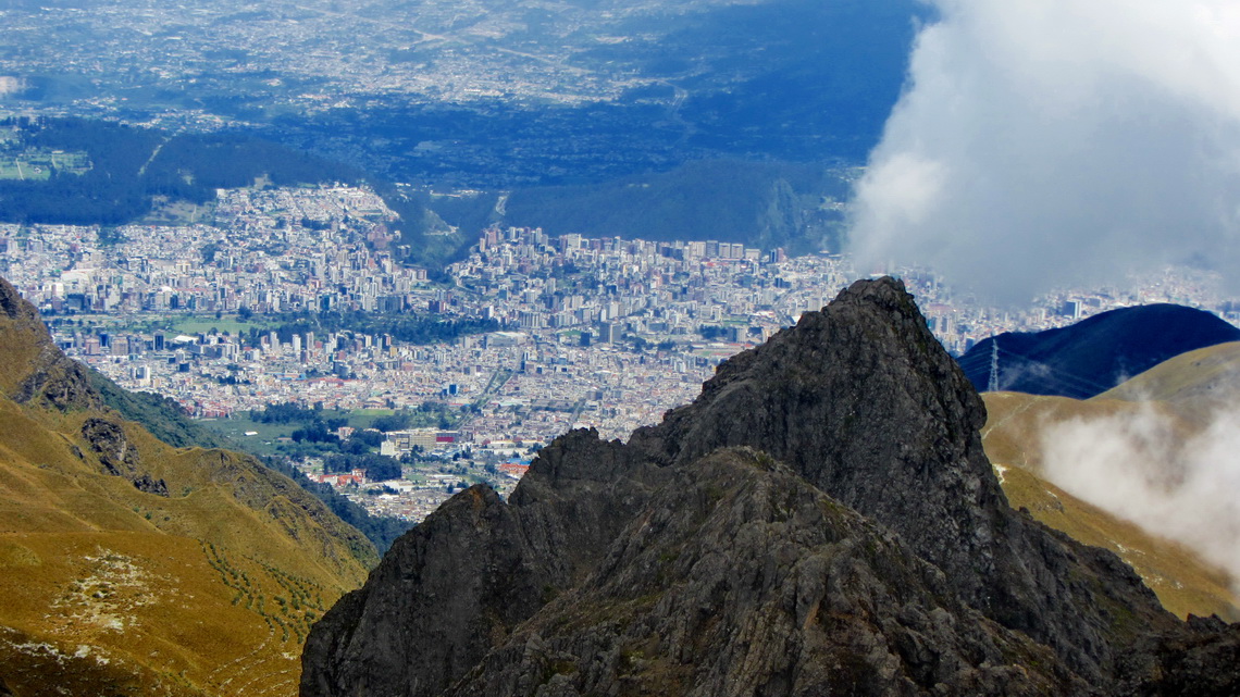
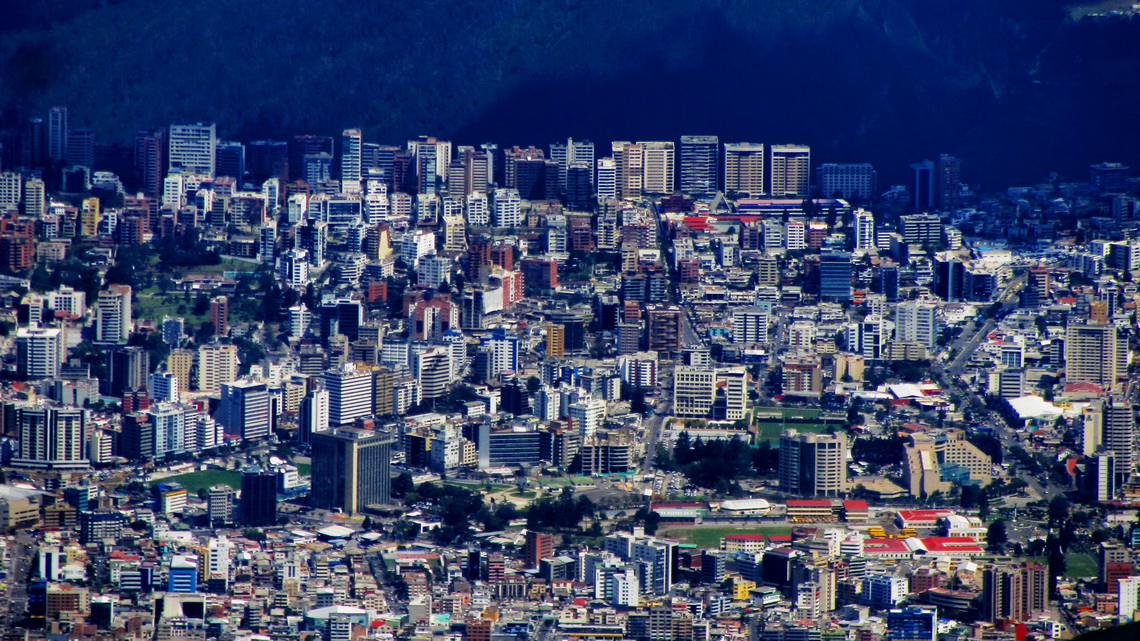
The volcanoes Pichinchas are located few kilometers West of Quito, Ecuador's capital. Besides their proximity to Quito it is a remote and pristine area in altitudes higher than 4000 meters with excellent mountaineering capabilities. The highest summit is 4794 meters high Guagua Pichincha - new Pichincha, which erupted in the year 1999 and covered the 2 million city Quito with a thick layer of ash. Marks of this incident are still clearly visible and Guagua Pichincha has a huge caldera with many smoking and stinking points.
The second main peak is the rocky Rucu Pichincha - old Pichincha, which can be accessed easily from the funicular TeleferiQo, a main attraction of Quito which brings you up to 3950 meters sea-level in few minutes. We did the marvelous traverse between these two peaks - a wonderful two days hike.
When we came back to Ecuador in autumn 2014 we visited primary the beautiful Pacific coast South of the medium sized town Manta with the stunning Machalilla National Park. Our base in October and November 2014 was the cozy Finca Sommerwind on shore of Laguna Yahuacocha nearby Ibarra because we had trouble with our car, again.
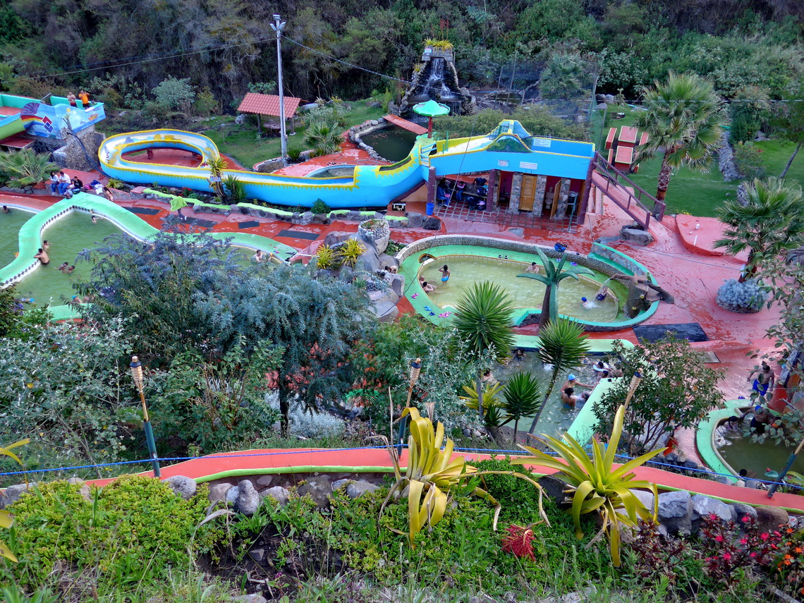
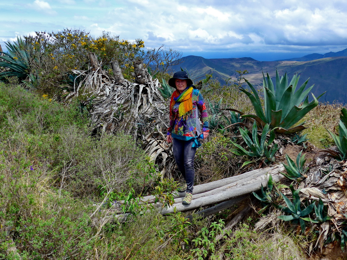
We used the time to explore the environment of the Finca Sommerwind a little bit deeper, see also the article Pico Fuya Fuya, Volcan Rumiñahui and Laguna Cuicocha. The hot springs Termas Arco Iris in Chachimbiro is an excellent bath with Finnish sauna and various pools with different water temperature up to nearly cooking level. We stayed the night on the parking lot (GPS coordinates: N0° 27.605' W78° 13.990') and walked on the next day few hours on the ridge and valley northwest of the hot springs.
A fabulous full day hike starts directly at Finca Sommerwind to the top of 2876 meters high Cerro Churro Lomo which provides stunning views to the Laguna Yahuarcocha, Ibarra and the valley of Rio Mira. The GPS track is included in the GPS Coordinates file of Ecuador.
Another great opportunity is to visit the village Yuracrucito southeast of Laguna Yahuarcocha. We took our bicycle to the archangel San Miguel which is enthroned on the ridge between Ibarra and Laguna Yahuarcocha opposite of Finca Sommerwind. From there it is a two to three hours walk to the beautiful little village Yuracrucito at 2920 meters sea-level (GPS coordinates: N0° 20.382' W78° 05.259'). We came Sunday evening and watched the youngsters playing volleyball with the support of the whole community. The GPS track is included in the GPS Coordinates file of Ecuador.
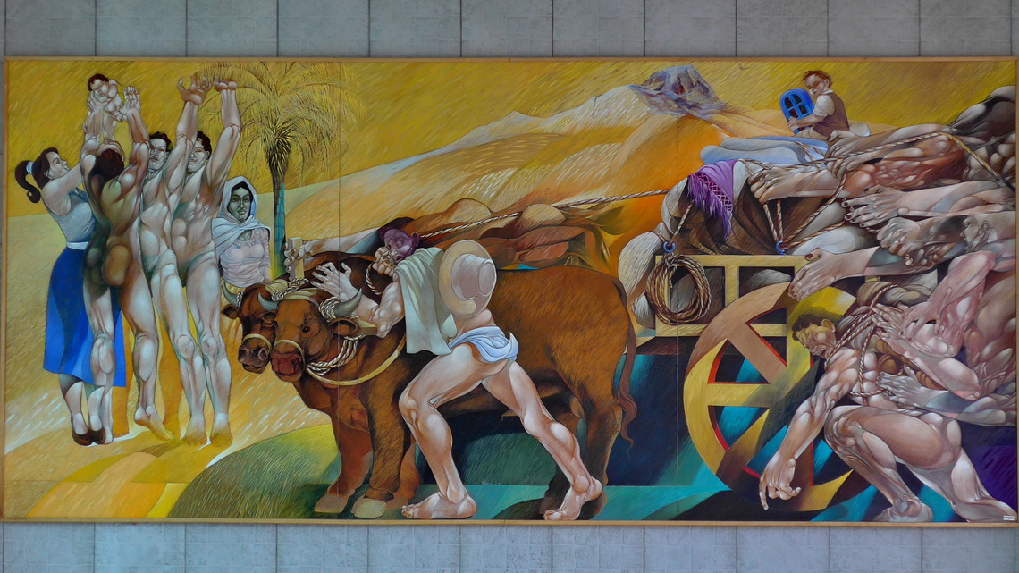
We found more nice corners of Ibarra, for instance the Centro Cultural with interesting paintings and sculptures. Its entrance is free of charge.
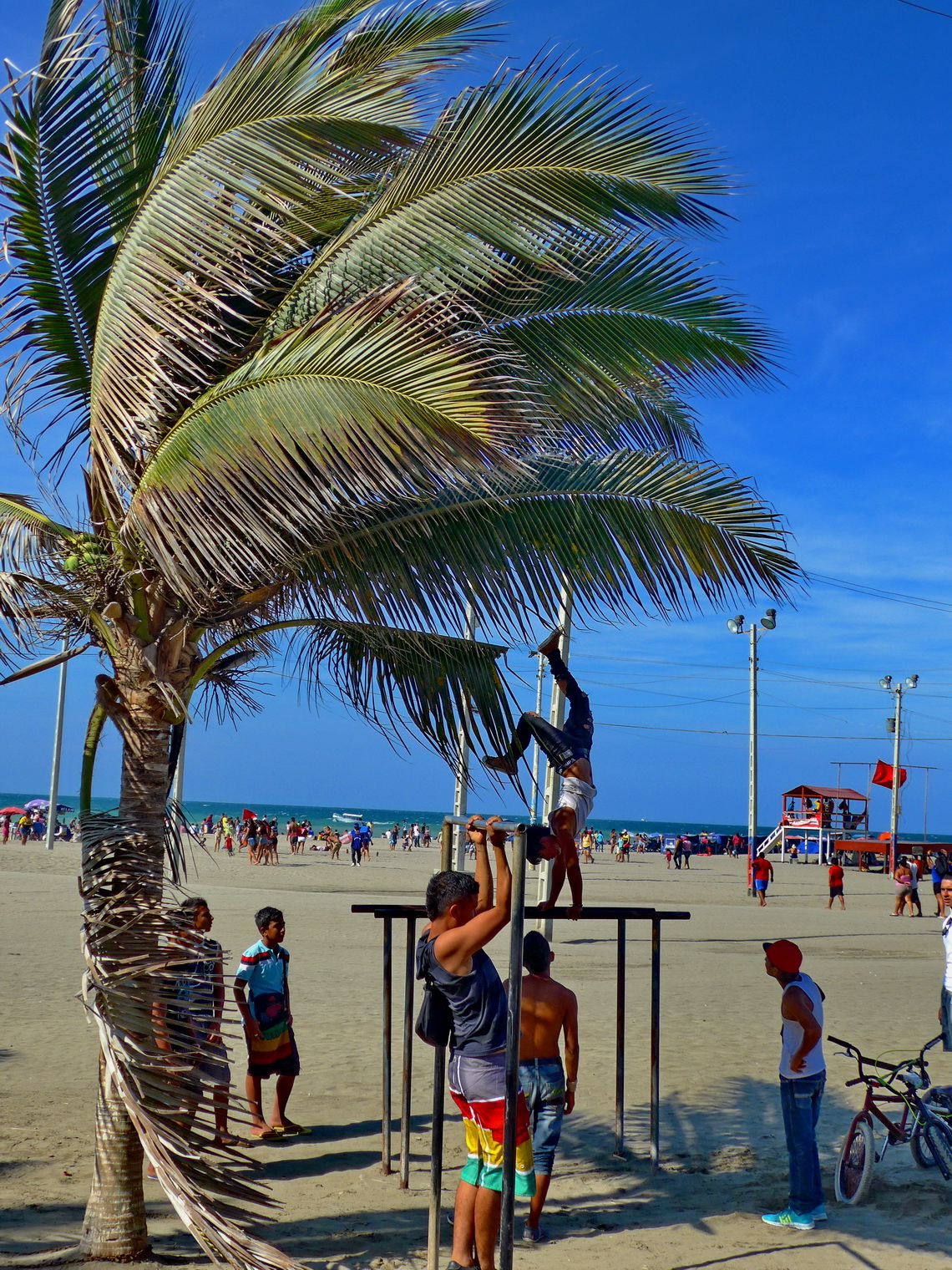
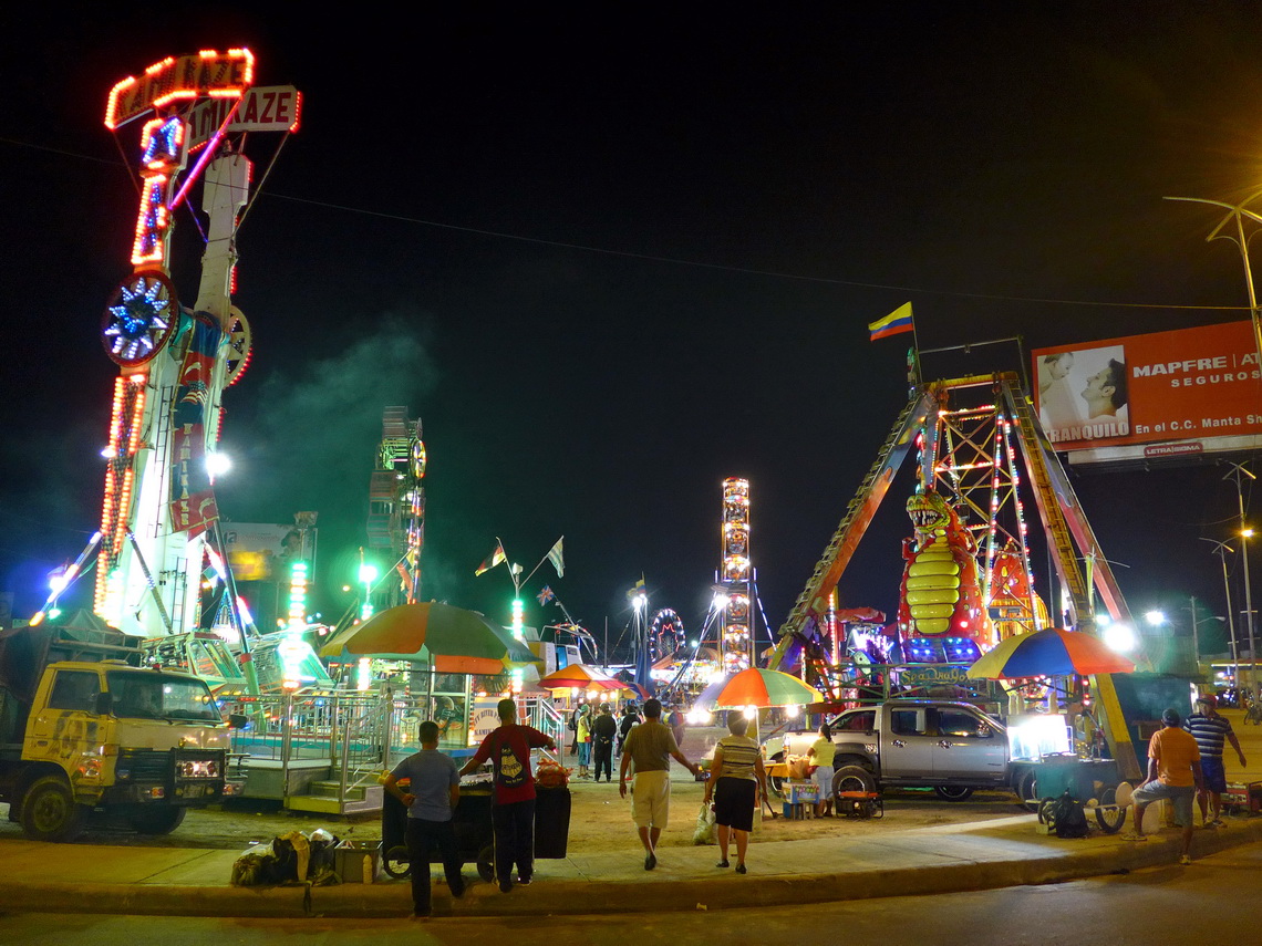
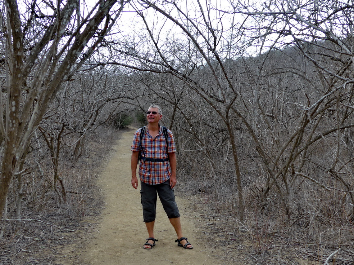
Few days we spent on the Pacific coast south of Manta. It is a bustling port city with more than 200,000 people with some major touristic attractions. Touching is the coastal national park Machalilla because in late October it was totally dry. But we found a lot of life there.
The national park is located between the two fishing villages Puerto Lopez and San Lorenzo. The first one is another major touristic hub with all facilities. The latter one is a sleepy little town with nice beaches but very few tourists. Sea turtle breeding on the beach is one of its major activities. Few kilometer above San Lorenzo on the street to Manta is the Sendero de los Monos - monkey trail in a total different world at 200 meters sea-level like the jungle in the Amazon! The GPS track is included in the GPS Coordinates file of Ecuador.
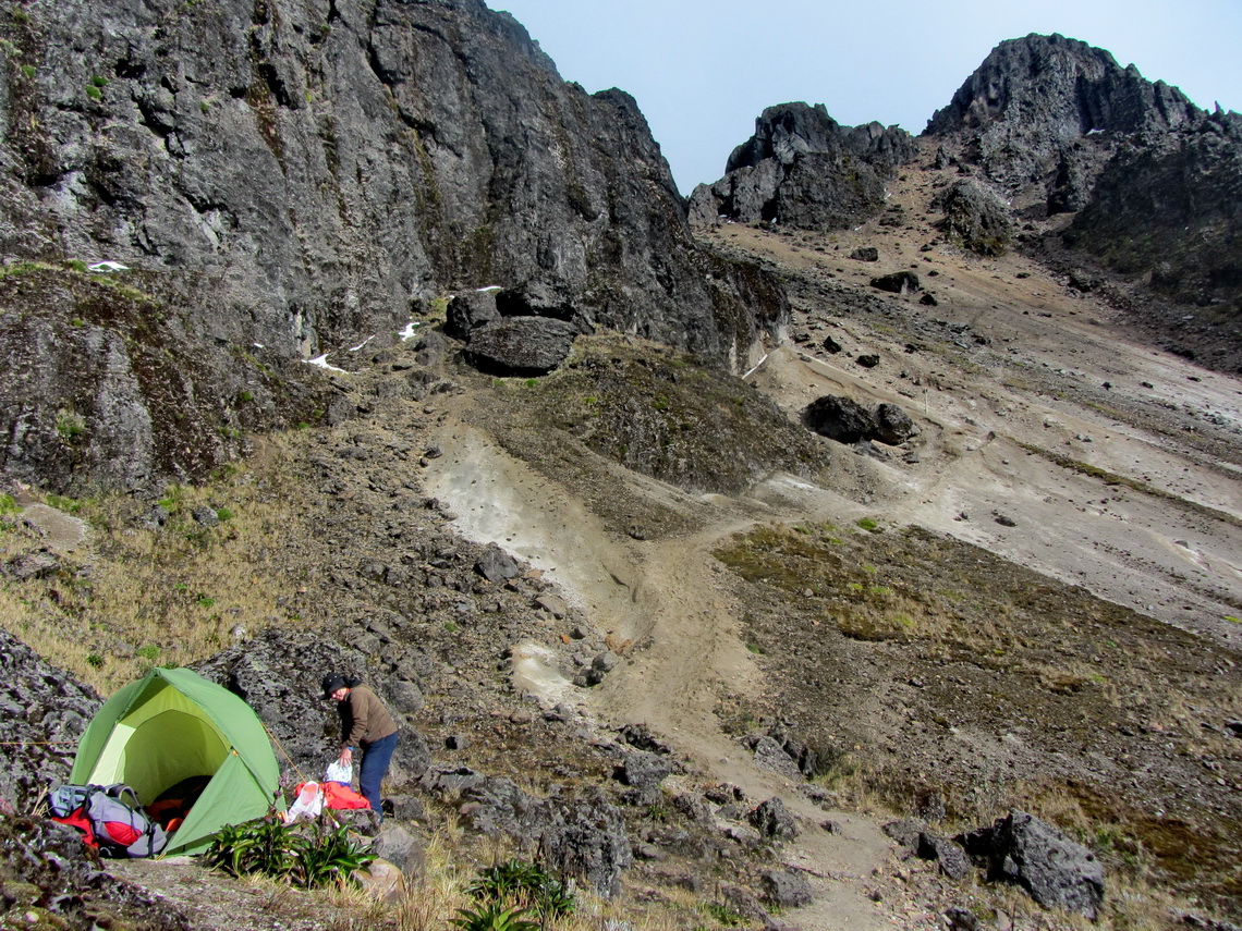
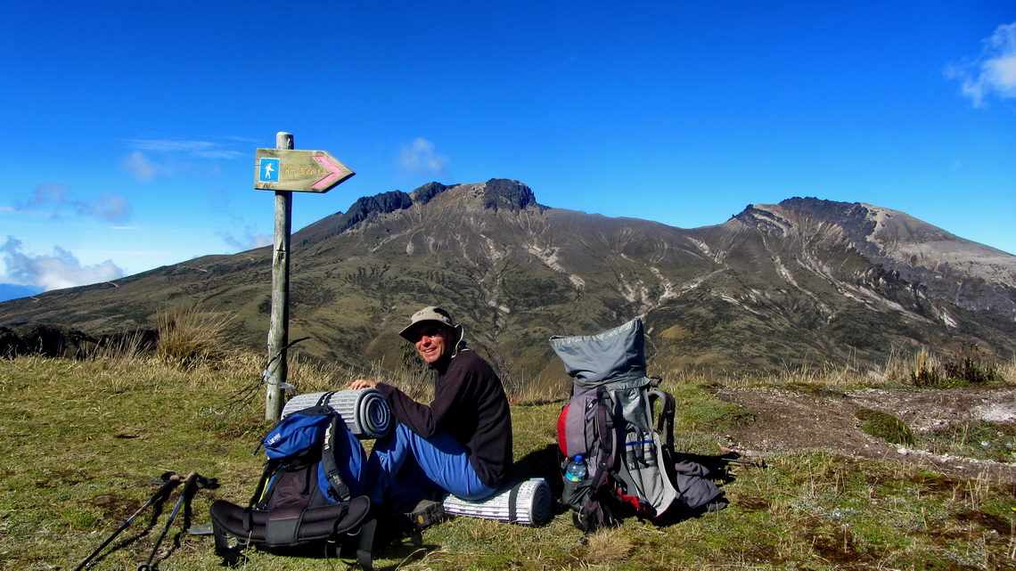
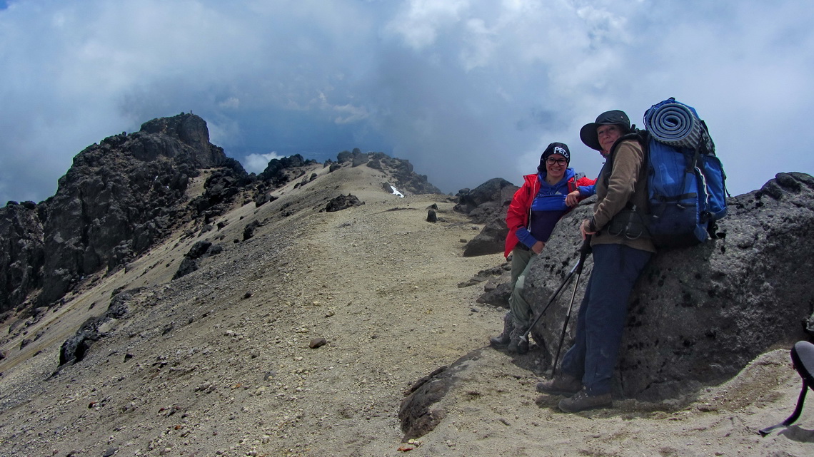
On our way from the top of Quito's TeleferiQo to the summit 4698 meters high Pichincha Rucu we had some thunderstorm with hail but fortunately the weather became better when we reached the top. This ascent and also the descent to our campsite require easy climbing but some steps were a little bit slippery.
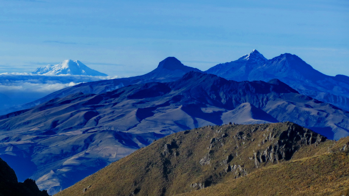
The evening was calm despite the fact that our mountain cooker did not work and we had to deal with cold food and drinks. Soon we went into our sleeping bags because we wanted to start early on the next day because the visibility is usually good in the morning. At 2:00AM a scary loud barking came close to our tent. Our first thought was robbery because Rucu Pichincha is close to some slums of Quito. Few minutes later the barking increased, was enhanced by yowling and became for several voices. Of course sleeping was impossible but we were becalmed that no humans were outside. It did not stop until daylight came. We did not dare to leave our tent in the night. Later we leared that in this area are a lot of wild dogs and small wolves. The weather was wonderful on the next morning and we could see some of the snowy peaks of Ecuador.
The traverse to the still active Guagua Pichincha was endless, especial the last part along a steep slope with fine scree. 4595 meters high El Padre Encantado is in between, a path leads in half an hour from the main trail to its summit. Unfortunately it was cloudy when we came to the top of 4797 meters high Guagua Pichincha and we could not see into its deep crater. But on some placed we smelled sulfur. Still we were very lucky because we met Pamela from Quito on the summit. She was with her car on the mountain hut and she took us back to Quito over a horrible street with still some marks from the eruption of 1999 - Thank you so much Pamela. The GPS track is included in the GPS Coordinates file of Ecuador
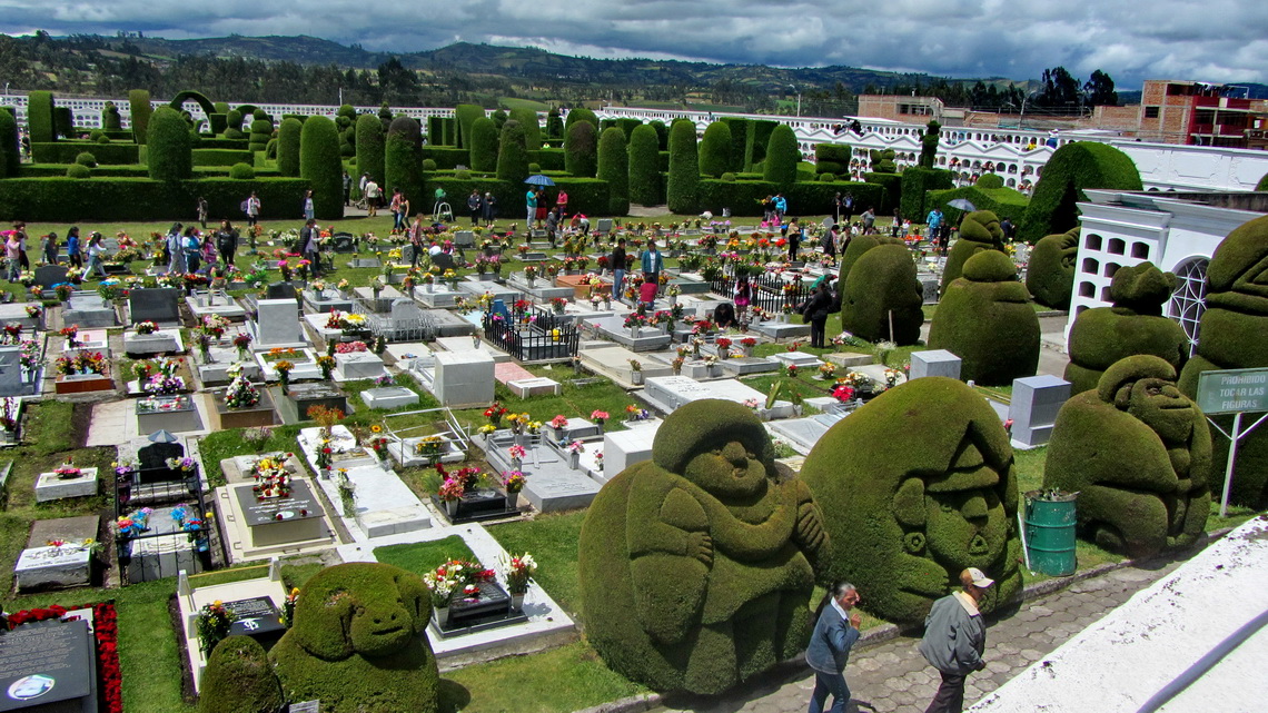
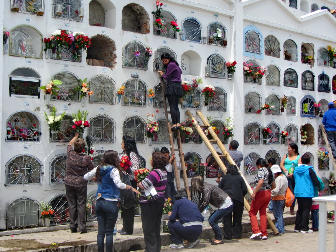
On All Soul's Day 2014 we were in the border town Tulcan because we had to renew Marion's stay in Ecuador by crossing the border to Columbia for one night. Tulcan's graveyard is famous for its sculptures scissored into its bushes and trees. Indeed it was very busy on this day.
For more pictures, please click here For a map of our itineraries, click here
To download the GPS coordinates click here

