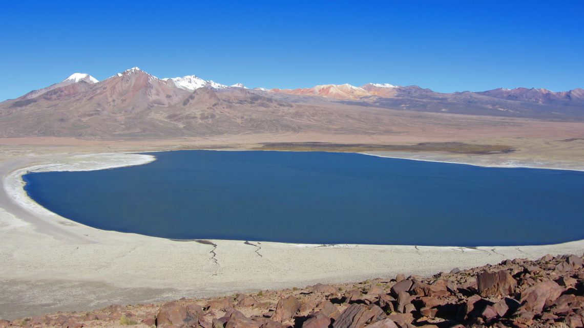
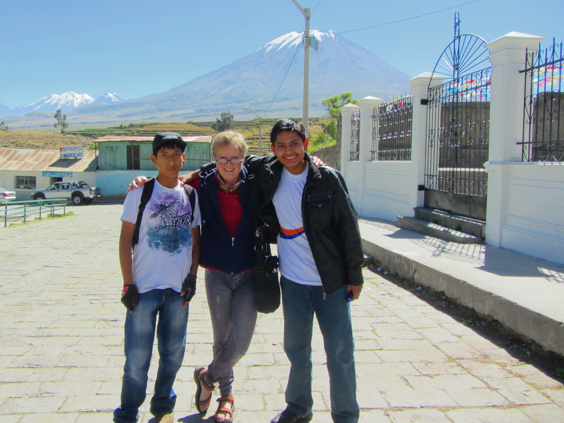
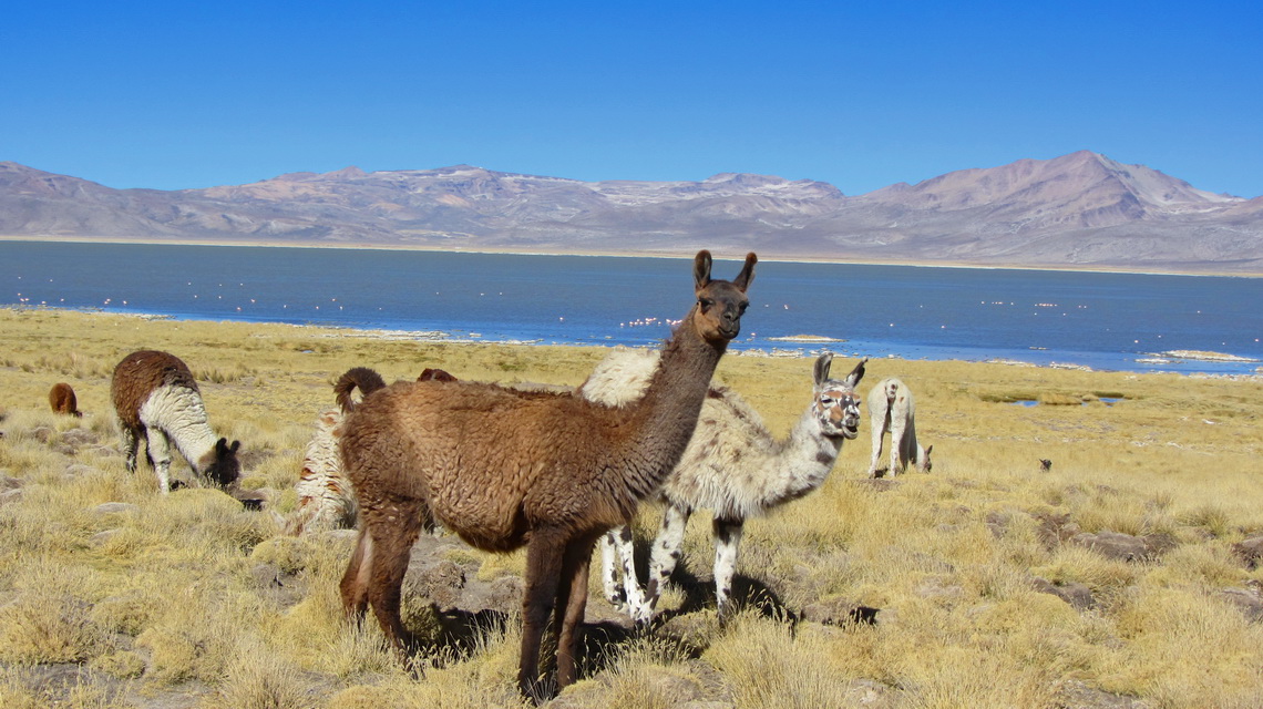
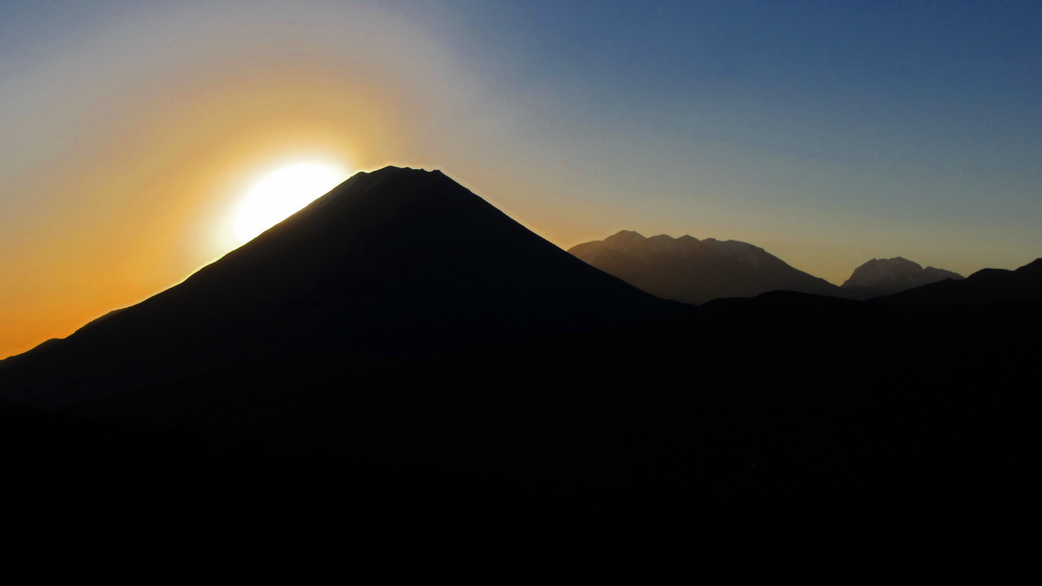
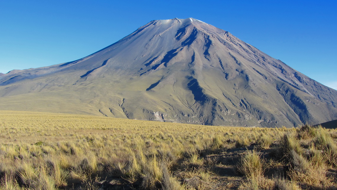
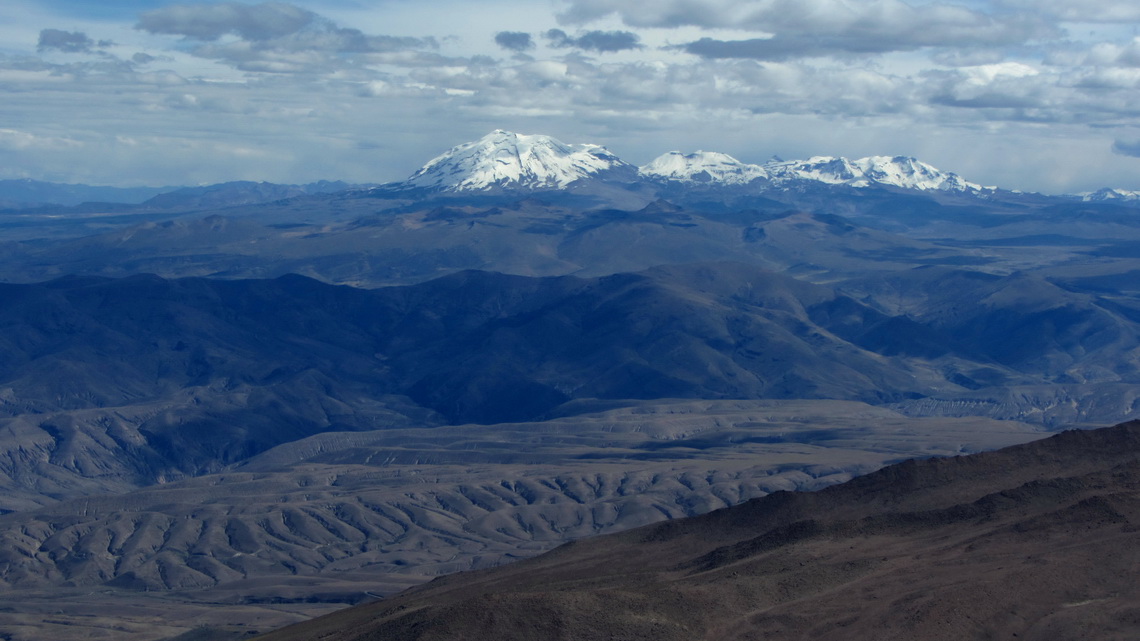
Arequipa is with more than 1 million inhabitants the 2nd biggest city in Peru. It is located on the edge of the Atacama desert to the Cordillera Volcanica at 2400 meters see-level. Its major landmark is the still active Volcan El Misti, a perfect cone of 5822 meters high. North of the volcano is the huge snowy mountain Nevado Chachani with several peaks. Its main summit achieves 6075 meters and it is supposed to be one of the most accessible and easiest 6000er on earth. South of the volcano and also in the townscape of Arequipa is the very eroded volcano Nevado Pichu Pichu with seven summits. On its northern side is the marvelous lake Laguna Salinas Blanca with abundant bird life.
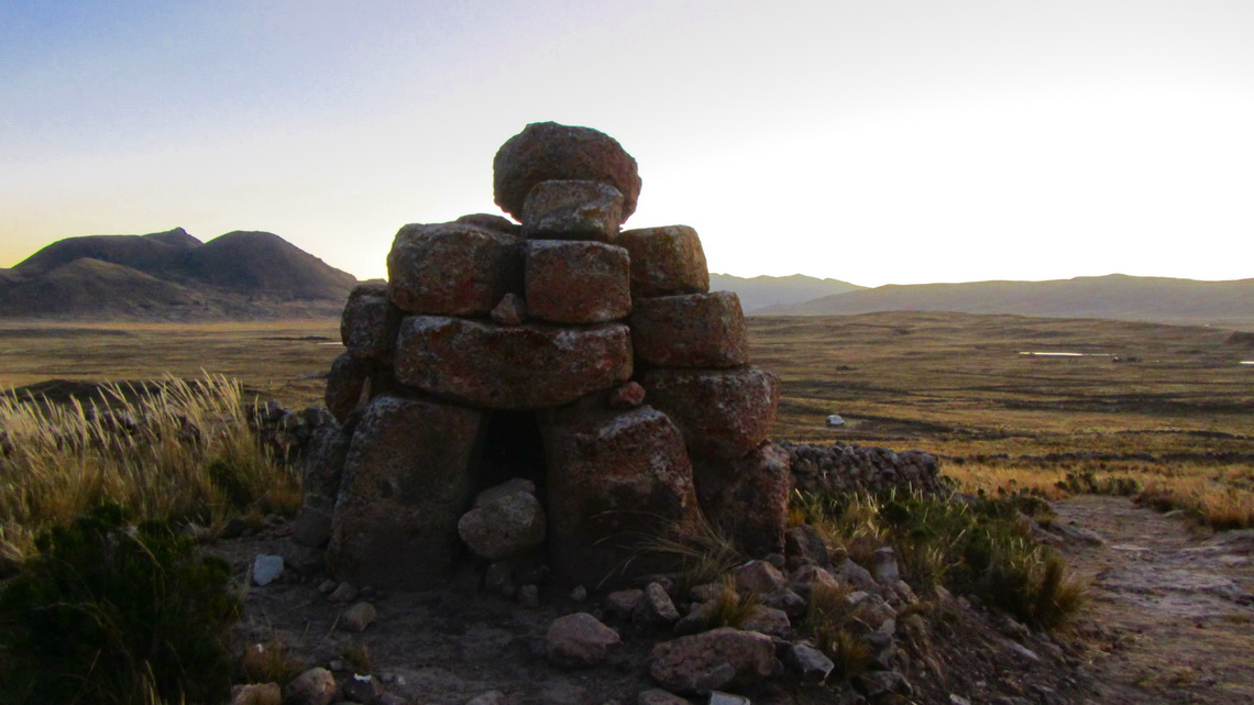
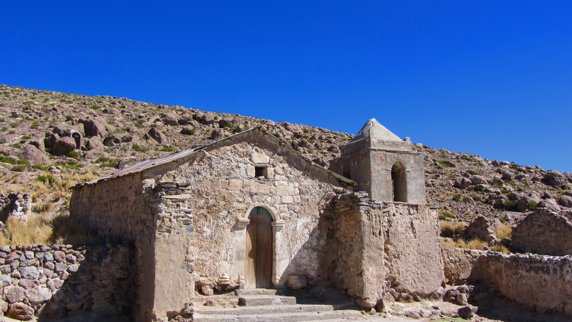
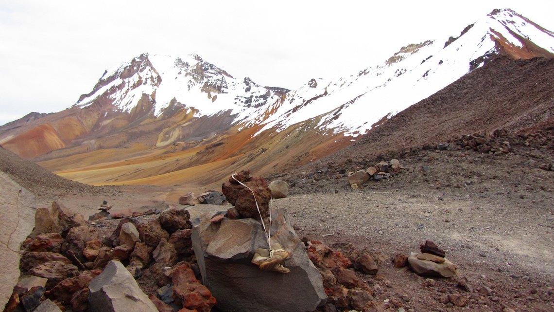
Approximately 100km southwest of Arequipa is its coastal resort village Mollendo, which is very busy in the austral summer. This was our first destination after we had crossed the Bolivian / Peruvian border in Desaguadero on June 22nd 2012 to meet a friend from Germany. We spent our first night in Peru after 31 years on a side street to ruins in the Aymara - Lupaca reservation. In the evening we explored the area and found some strange cairns.
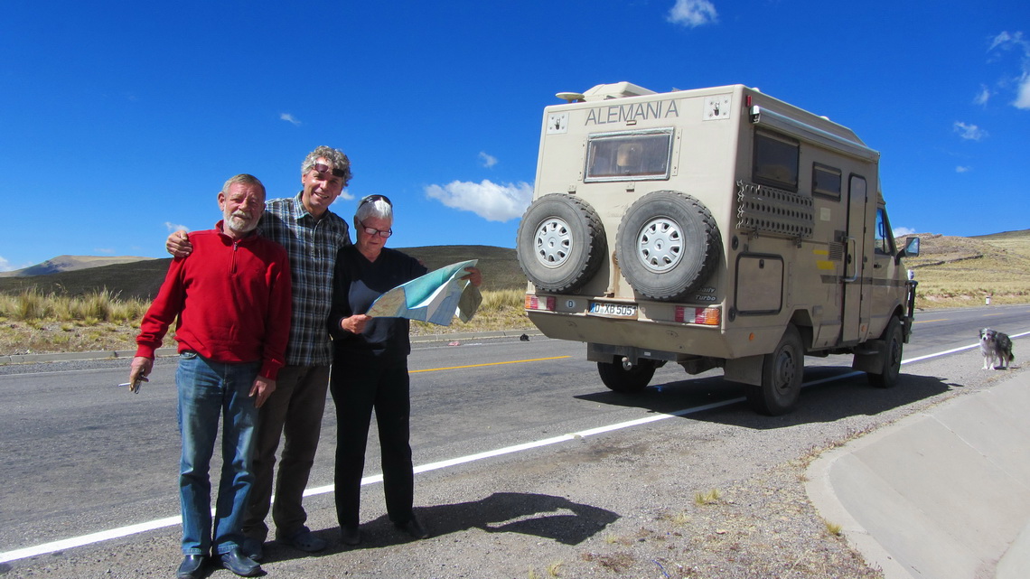
After a quiet night a younger man came to us in the morning during our breakfast. He told us that we stayed on his premises and he wanted a fee, extraordinary high about 20 bucks. Fortunately we had no Soles, the Peruvian currency because there are no ATM's on the Bolivian / Peruvian border in Desaguadero. The owners o the exchange offices still avert them because they want to secure their lousy exchange rates. After a long and friendly discussion we ended up by 10 Bolivianos, approximately 1.2 bucks. The man was so happy that he hugged Alfred before he left.
Few minutes later another younger man came with the same story. Additionally he wanted us to guide to the ruins. Again we had a nice discussion and the opportunity to practice a little bit conversation in Spanish. Suddenly some sheep came, driven by a indigenous Lady. She saw the men, lashed her whip and cried something. The man became pale, babbled goodbye and disappeared immediately.
We continued our breakfast but few minutes later an elderly man came with his bike. Again the same story and he reinforced it with the threat that he calls the Police if we do not pay. It smelled heavily like alcohol and schnaps. We became irritated and decided to go. Now he tried to play the good friend and he told us the he admires Hitler and what a fantastic guy he had been. We did not answer anything and left this place as fast as possible. Thanks to this ugly guy we enjoyed a nice surprise half an hour later.
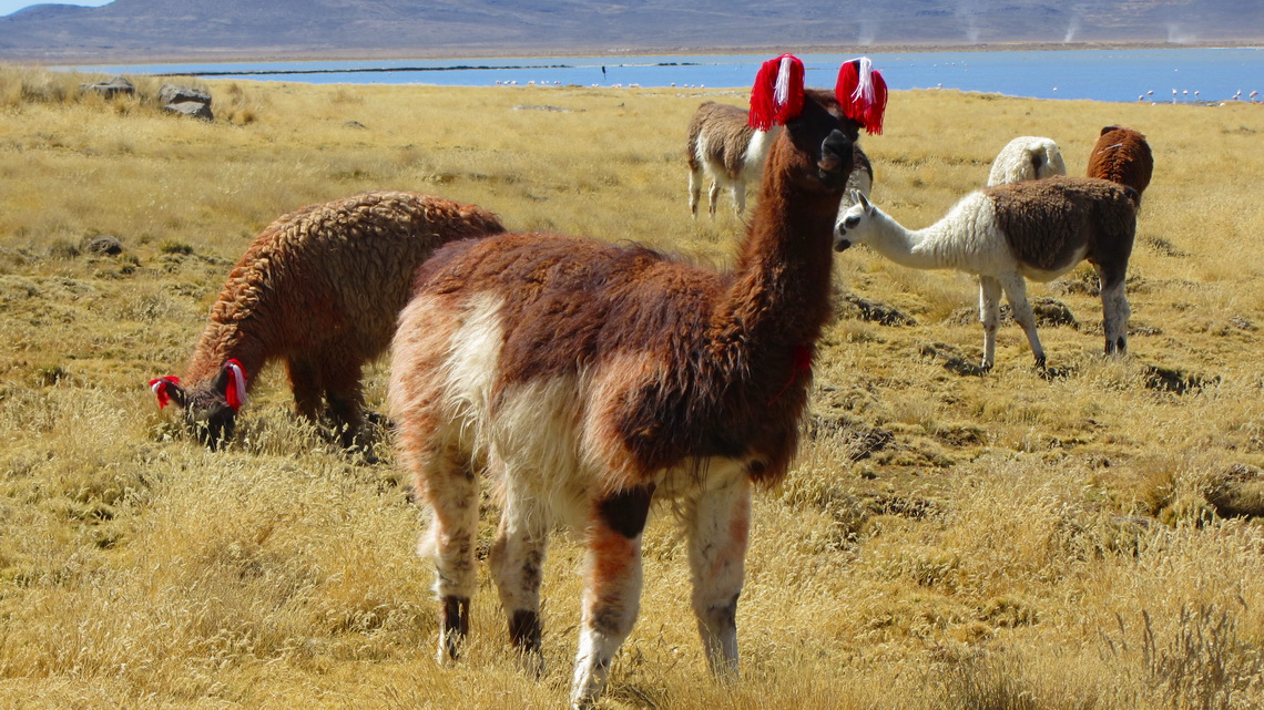
The drive on the Altiplano was marvelous over some cols and along nice lakes. A short walk of 1.5 hour was the 4947 meters high Cerro Yuncane which provided superb views (Starting point at 4571 meters, GPS coordinates S16°50.954 W70°15.462; summit S16°51.630 W70°14.673).
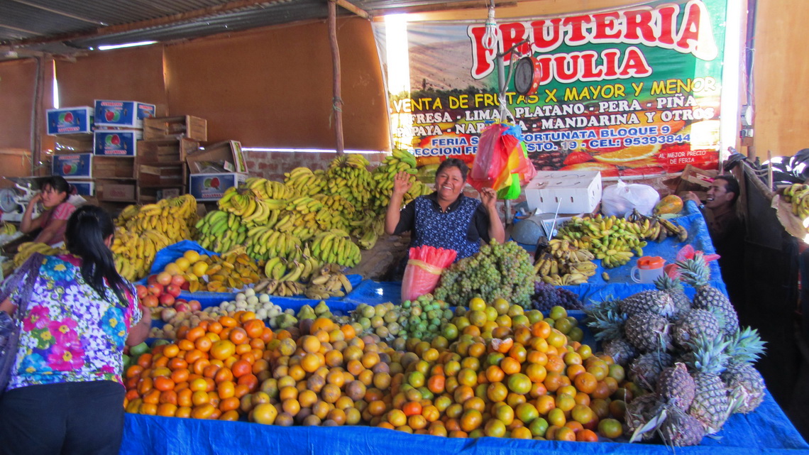
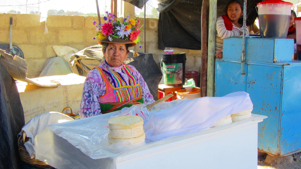
Due to the restrictions on the border we had no fruits, vegetables, cheese and other milk products. Thus we went shopping in the first bigger town, Moquegua.
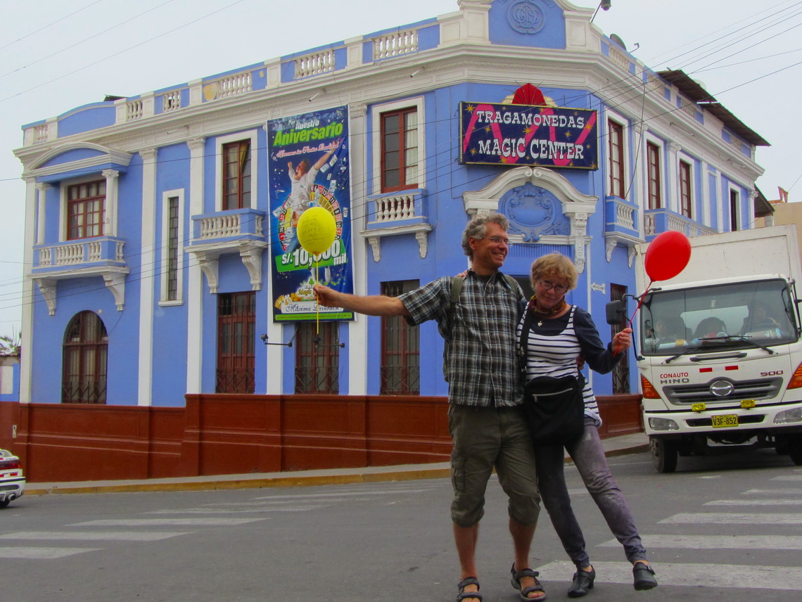
We had a happy welcome with our friend in Mollendo and we enjoyed the beaches of the Pacific Oceans despite the fog which came always in the early afternoon in winter. Mollendo is the first beach for the people of Arequipa and has consequently all holiday facilities and also a touching museum about the former indigenous people.
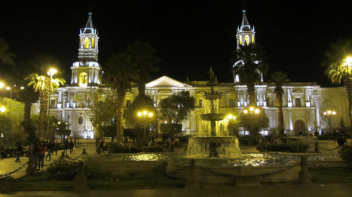
Arequipa is a bustling metropolis with some beautiful colonial buildings.
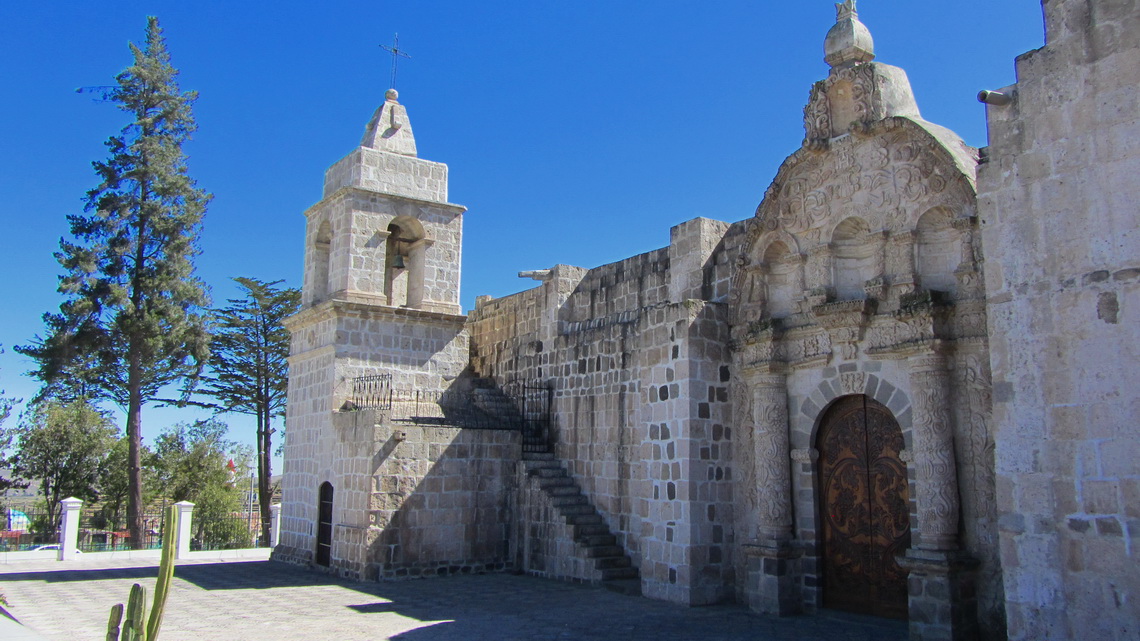
To acclimatize properly we drove to the Laguna Salinas at 4400 meters sea-level. On the marvelous salt lake are many birds like Flamingos, Geese or Ducks. Half the way is the picturesque village Chiguata.
A small mountain of 2 hours walking is the 4830 meters high Cerro Laguna Salinas, which provides superb views (GPS coordinates of the starting point: S16° 50.954' W70° 15.462', Summit: S16°19.795 W71°11.279). Afterwards we felt strong enough for the north summit of Nevado Pichu Pichu, which is an eroded volcano with a long chain of peaks. We took a side road from the main track, where we found an ideal spot for our car (GPS coordinates at 4399 meters sea level: S16°22.272 W71°15.561).
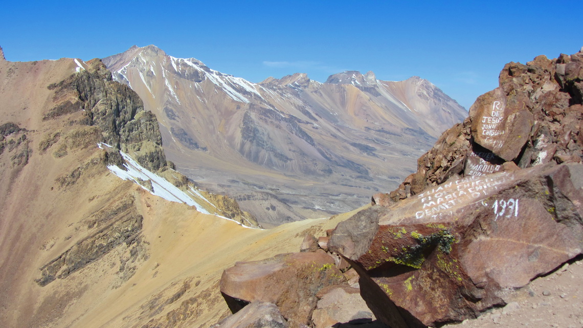
We took the left ridge (view to the mountain) to the 5310 meters high summit (GPS coordinates S16°23.546 W71°16.620), which provided a comfortable ascent on solid rocks. The valley on the left side of the ridge was ideal for a fast descent, mainly in sand.
Besides its beauty and perfect cone, Volcan El Misti is a huge pile of sand, maybe the biggest on earth. Climbing up is endless and arduous because there is no shadow (east side!) and the sand on its path is treacherous: Three steps up - two steps down.
We came in the early afternoon to the artificial lake Aguada Blanca of the river Rio Chili, where we had to cross the dam. It is very well safeguarded because this is the vital line for Arequipa and it provides all the water for the city. Firstly the security guy was very reluctant and asked about a permit, which we should had obtained in Arequipa, more than 100 km away accessible only by an ugly road. After a friendly conversation we gave him some chocolate and a can of peaches and suddenly everything went smoothly. We had to register and the guy promised to keep an eye to our car (GPS coordinates: S16° 14.740' W71° 20.825').
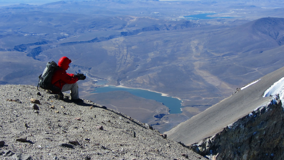
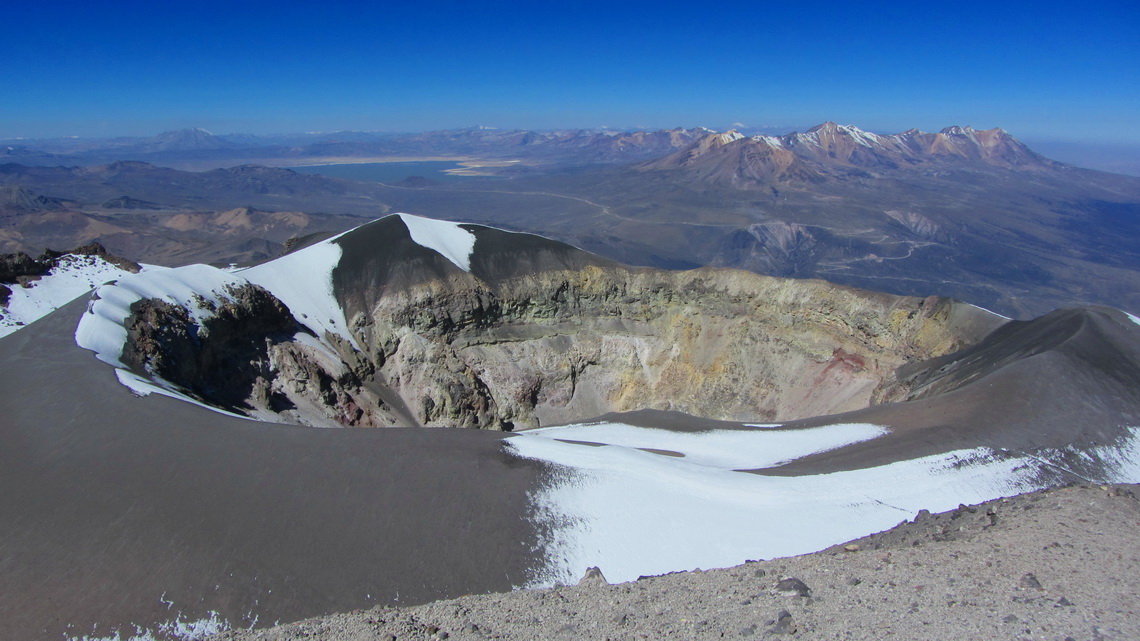
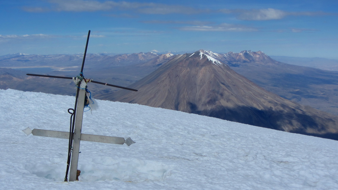
We crossed the dam and took the valley left of the eye-catching rib. There were many footprints in this valley, some very big from Pumas! Close to 4400 meters it became dark; fortunately we found a comfortable campground on sandy ground, soon. Our friend and Alfred started at sunrise climbed up to the rib and were at the usual base camp Monte Blanco, which is with 4800 meters sea-level close to the highest mountain of the Alps. The long ascent around the sand pile to its summit begins here. Finally after 8 hours we were happy that our donkeywork was finished (GPS oordinates of the summit: S16° 17.786' W71° 24.637').
Thanks to the sand the descent was very fast, we were back to our tent in less that 2 hours. It was a little bit like skiing or boarding!
Contrary to the single cone Volcan El Misti, Nevado Chachani is a complete mountain range with several peaks. There is a sandy piste on the Northeast side of the mountain, up to 5000 meters sea-level. But it became too steep for our car, we could reach only 4373 meters (GPS coordinates S16°10.050 W71°27.533). We felt strong, thus we decided to start in the full moon at 3:00AM to climb the 1700 meters to the summit in one day. Marion watched our car.
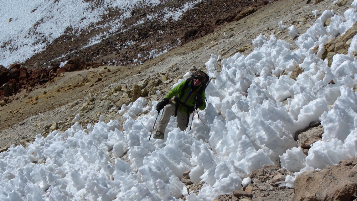
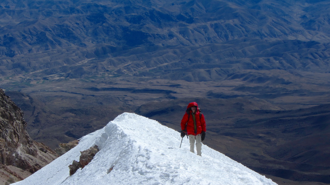
There was a good path, mainly on solid rocks to the snow line at 5900 meters. Fortunately we had crampons and ice-axes, because in the last part of the ascent to the main peak (GPS coordinates S16°11.707 W71°31.933) were airy ridges and slopes with hard snow and some ice.
Due to a sandy gully the descent was very fast, again. When we came to the usual camp 2h away from the end point of the street two guides from Arequipa were searching crampons a girl had lost on the previous day. Thanks to us they found them and they took us back the road in their car to our camper. They told us about their business model. The agencies in Arequipa sell the 6000er Nevado Chachani to many inexperienced people. They start at 2:00AM in Arequipa, at 2300 meters sea-level and drive to 5000 meters! A severe shock to most of the bodies. Then they start climbing, most of them give up soon. Some reach 5800 meters sea-level, but very, very few the summit.
Our friend was so exhausted after his first 6000er that he slept despite his thirst and hunger immediately after our return to the camper. He woke up in the night with a headache and dizziness - the first signs of dehydration. Marion rescued him with a lot of tea and soon the indisposition disappeared immediately.
For more pictures, please click here For a map of our itineraries, click here
To download the GPS coordinates file, click here
