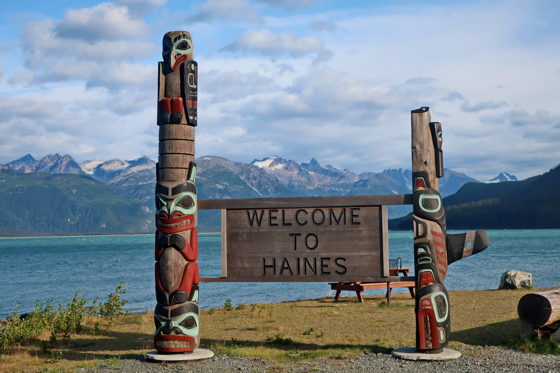
We came back to Alaska to beautiful Haines on August 17th 2019. It is famous for watching fishing Bears on Chilkoot River during the Salmon run but we had no luck. However we spent a nice evening chatting with a younger German couple in the late evening.
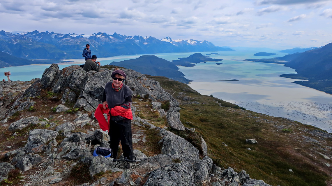
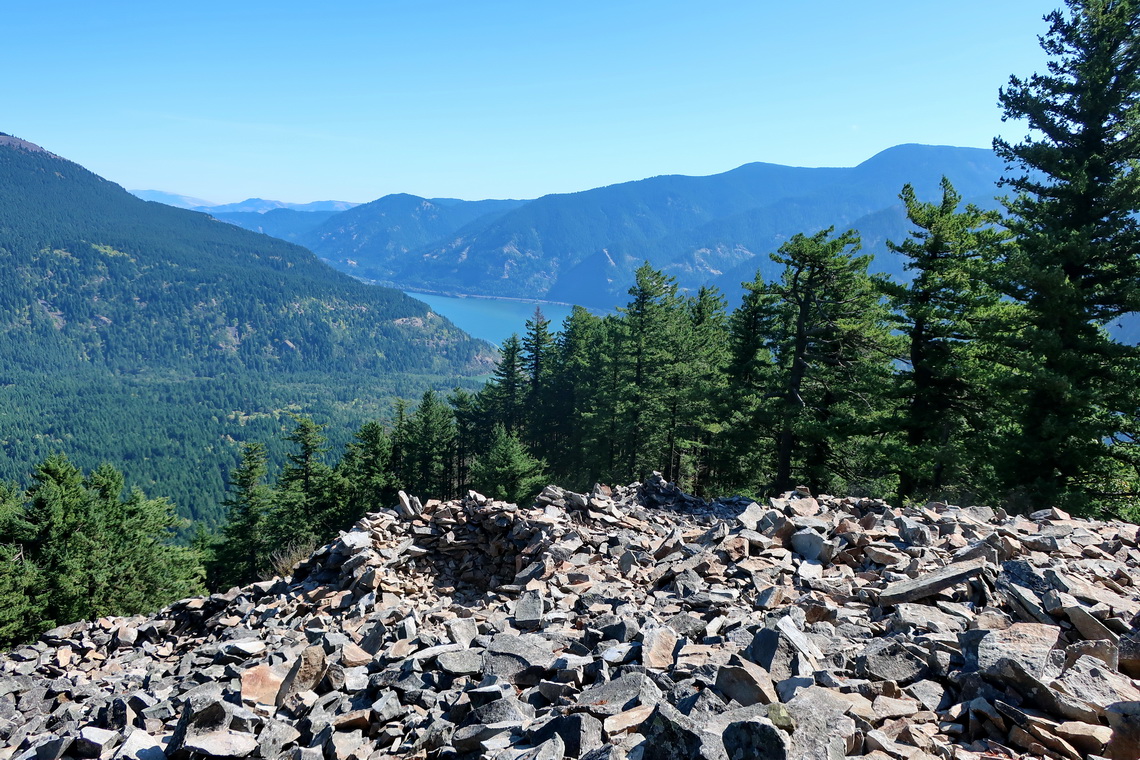
But we had very good luck on Mount Ripinsky which is a splendid day hike from Haines. The views to the glaciers, mountains and sounds were overwhelming.
Our trail to Mount Ripinsky is included in the GPS coordination filr of Alaska.
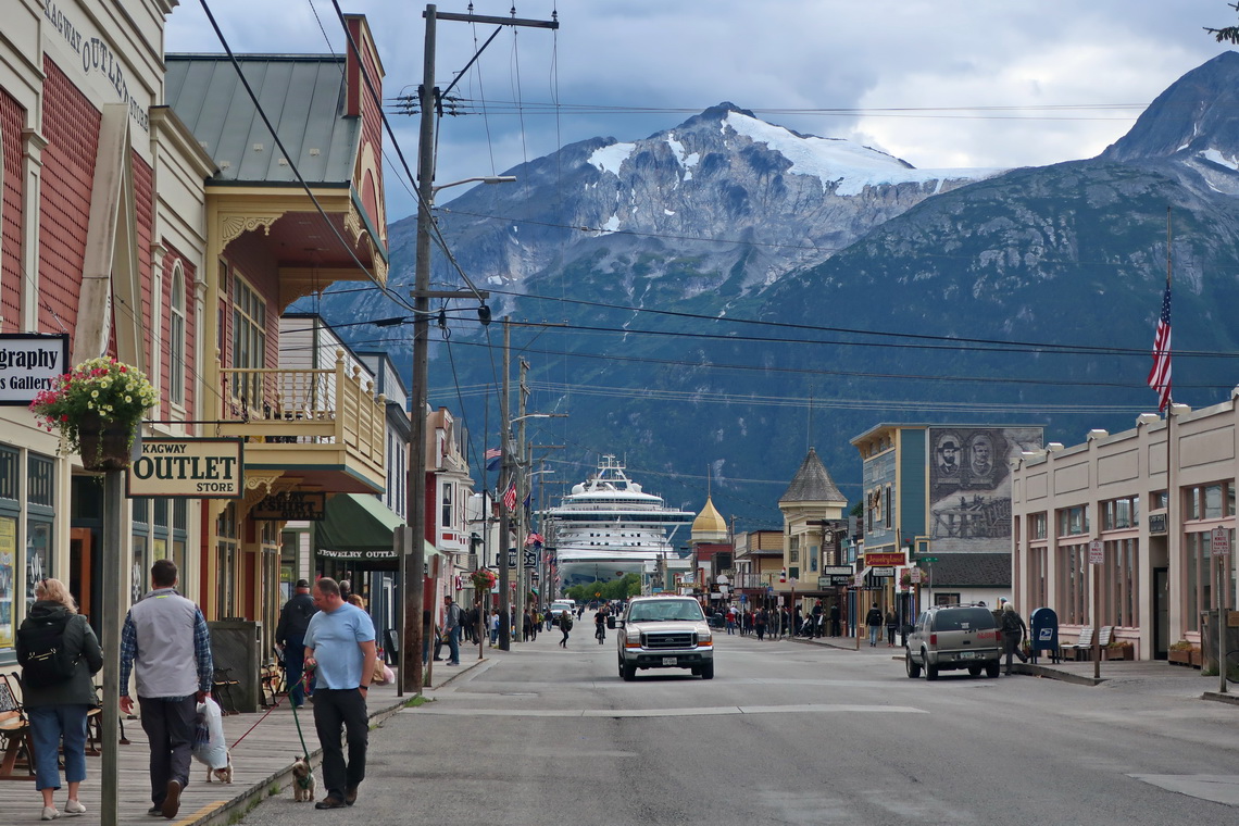
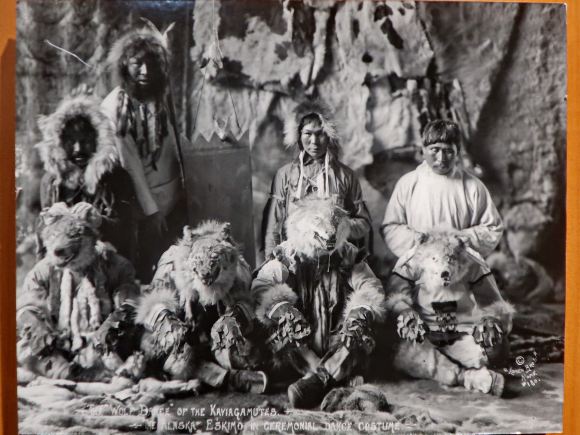
The shortest way from Haines to Skagway is the ferry, just 1 hour. Skagway was a sleepy settlement till the Klondike Gold Rush in 1896, which changed everything. Its population increased to more than 10,000 people. Each week approximately 1,000 prospectors started their dangerous 500 mile journey to the gold fields close to Dawson City. It started with a strenuous climb over the mountains on White or Chilkoot Pass. The Mountain Police of Canada permitted crossing the border only if the prospectors had food of 1,000kg per person to avoid starvation in its long and cold winter.
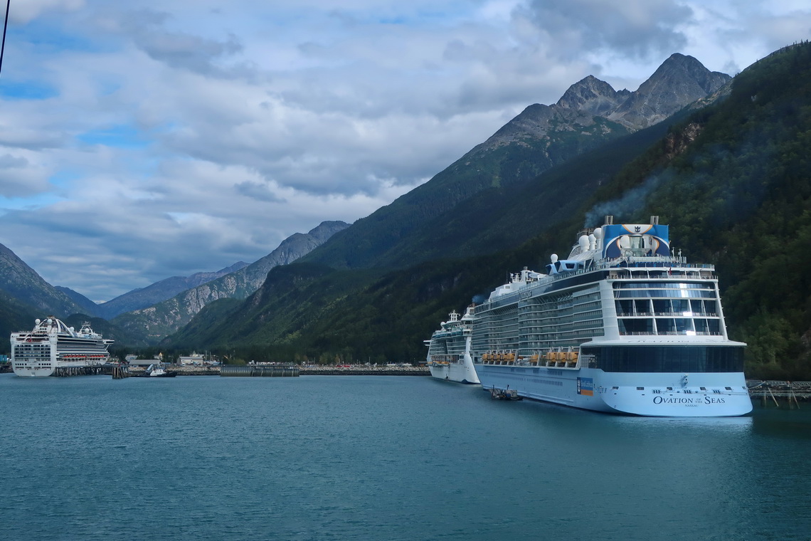
Today Skagway is a popular stop for cruise ships and a major tourist destination of Alaska with a lot of fancy shops and other fun activities.
Three weeks later we came back to the United States because going by car directly to the lower 48 states is possible either by an expensive ferry or via the streets in Canada.
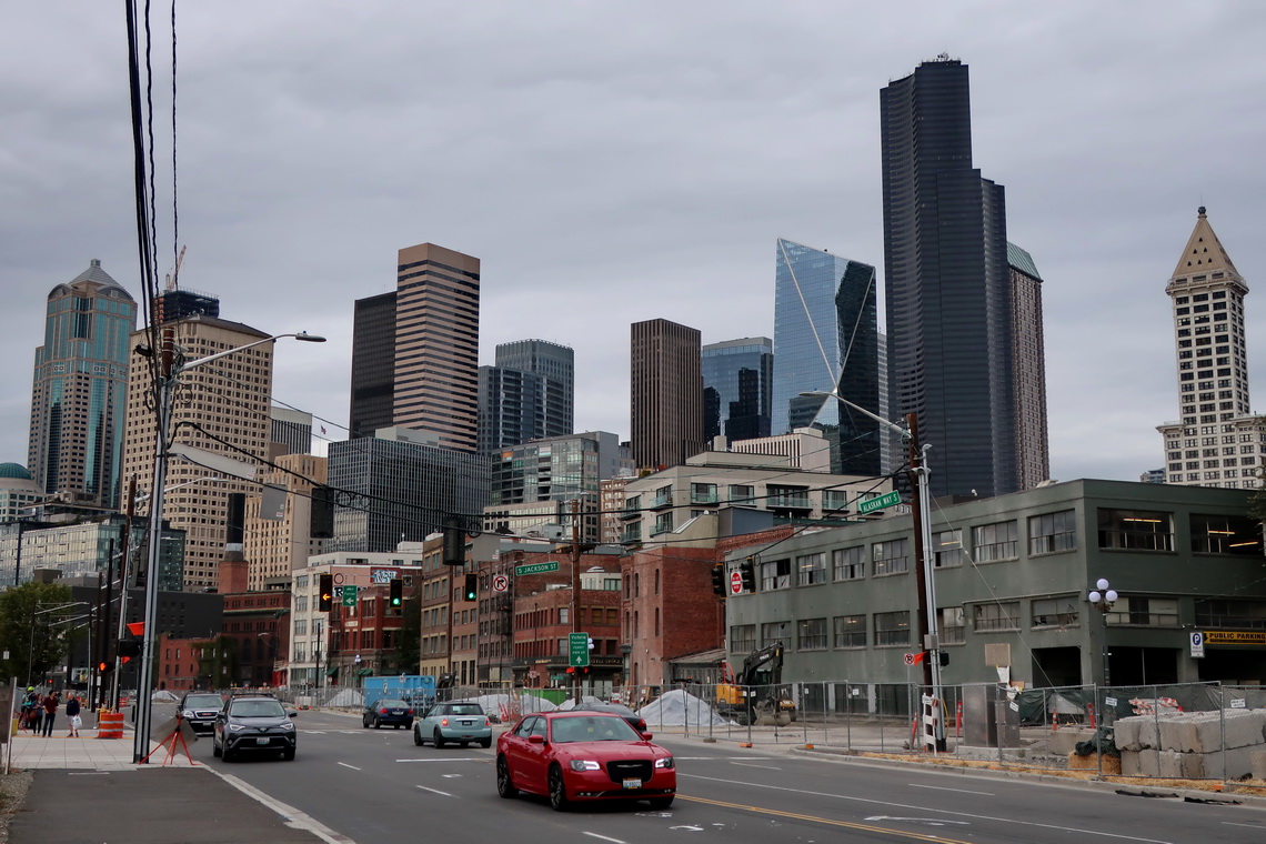
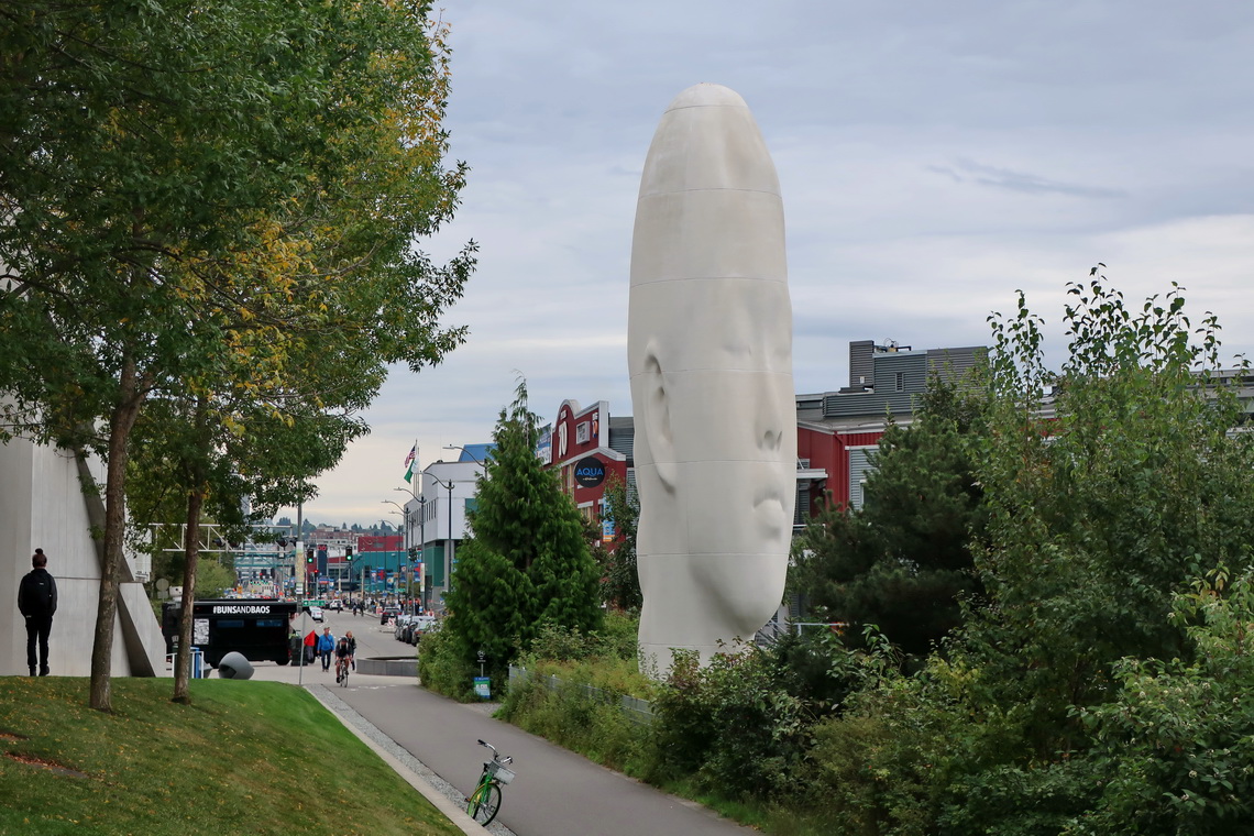
Wealthy Seattle is with 750,000 inhabitants the largest city in the Pacific Northwest region of the United States and its fourth biggest port because it is the major gateway for trade with Asia.
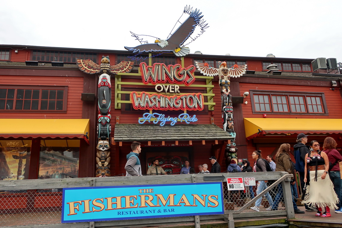
By the late 19th century Seattle became an important commercial and shipbuilding center as the gateway to Alaska during the Klondike Gold Rush. The prospectors started their journey to Skagway on Pier 57 which is a tourist attraction today.
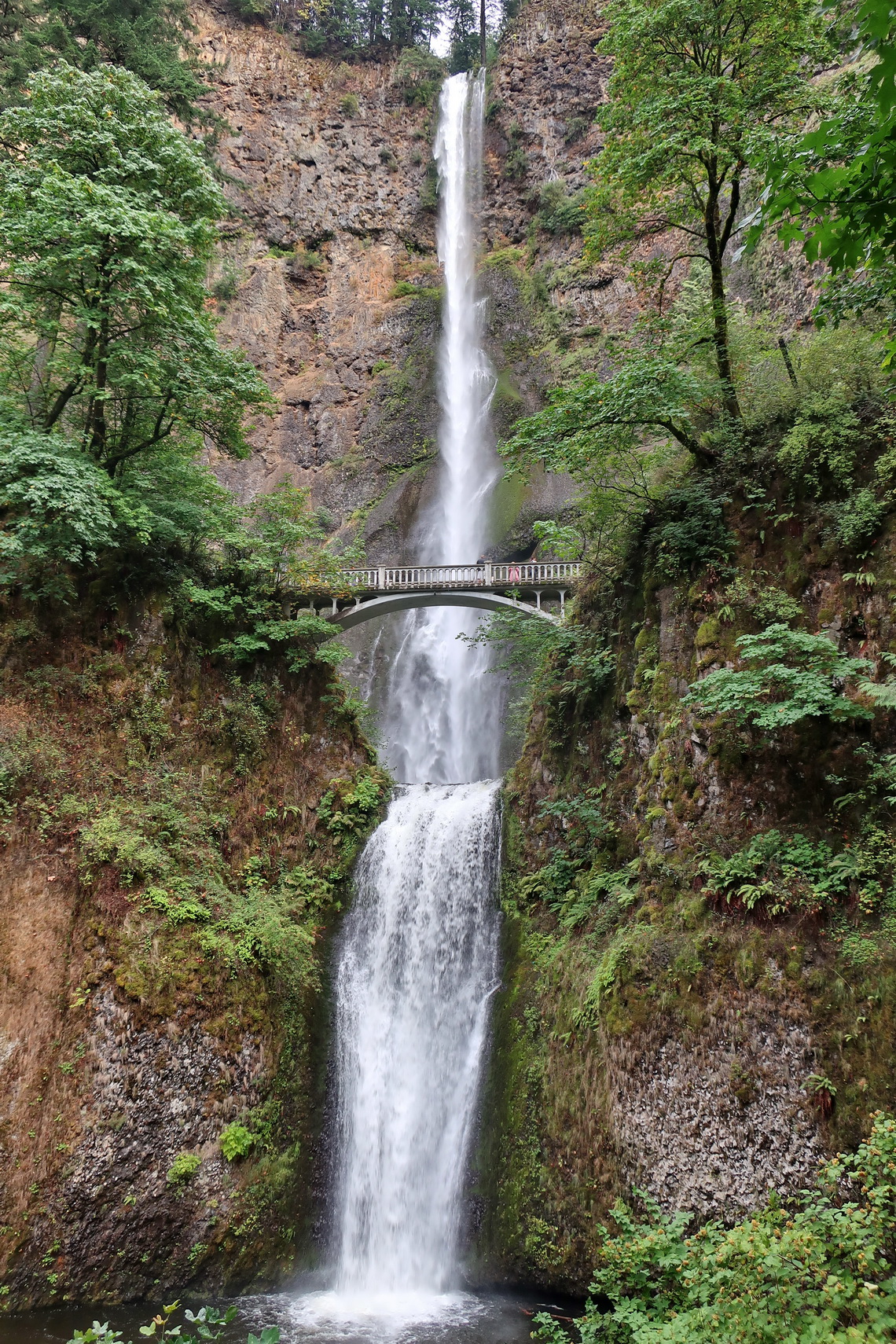
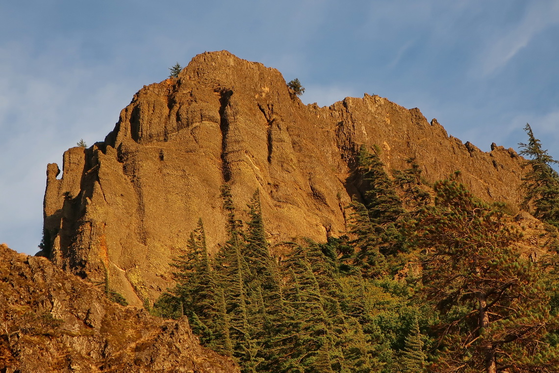
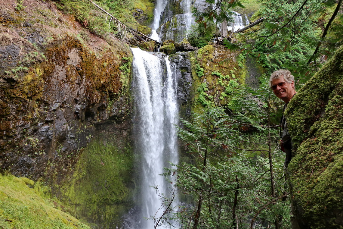
We continued to the Columbia River Gorge with its marvelous waterfalls. In addition we climbed up three minor but beautiful peaks: Mitchell Point, Wind Mountain and Lave Butte. Our trails are included in the GPS coordination files of Oregon and Washington.
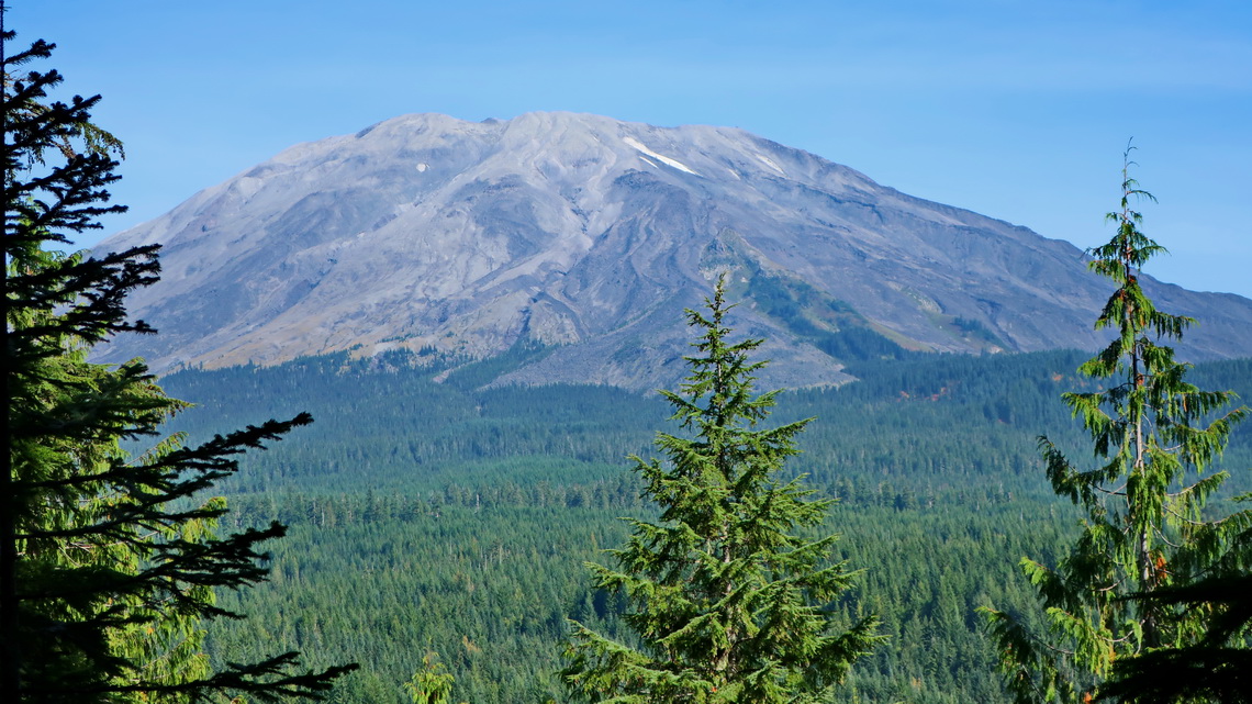
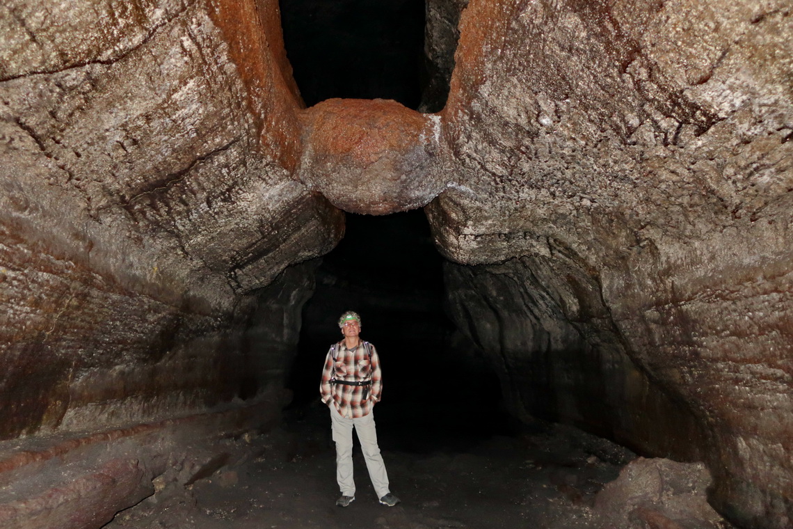
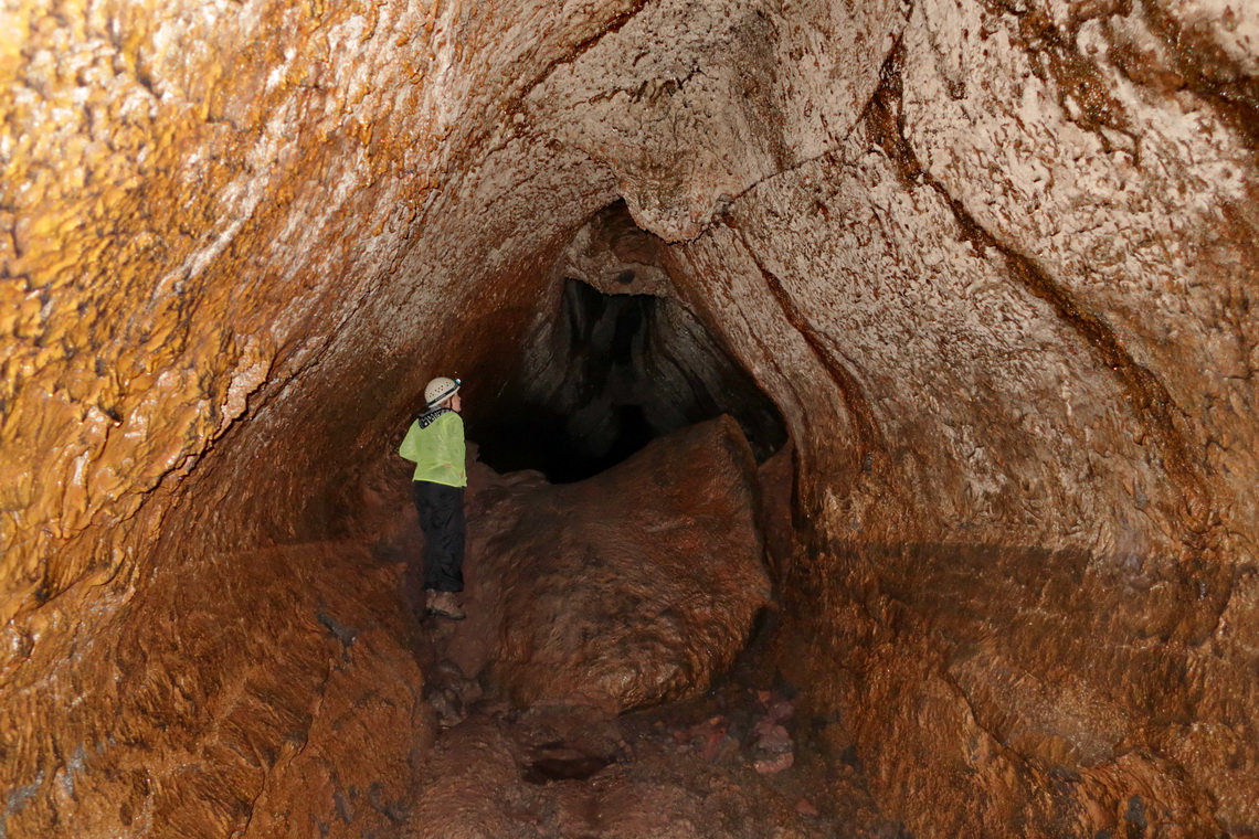
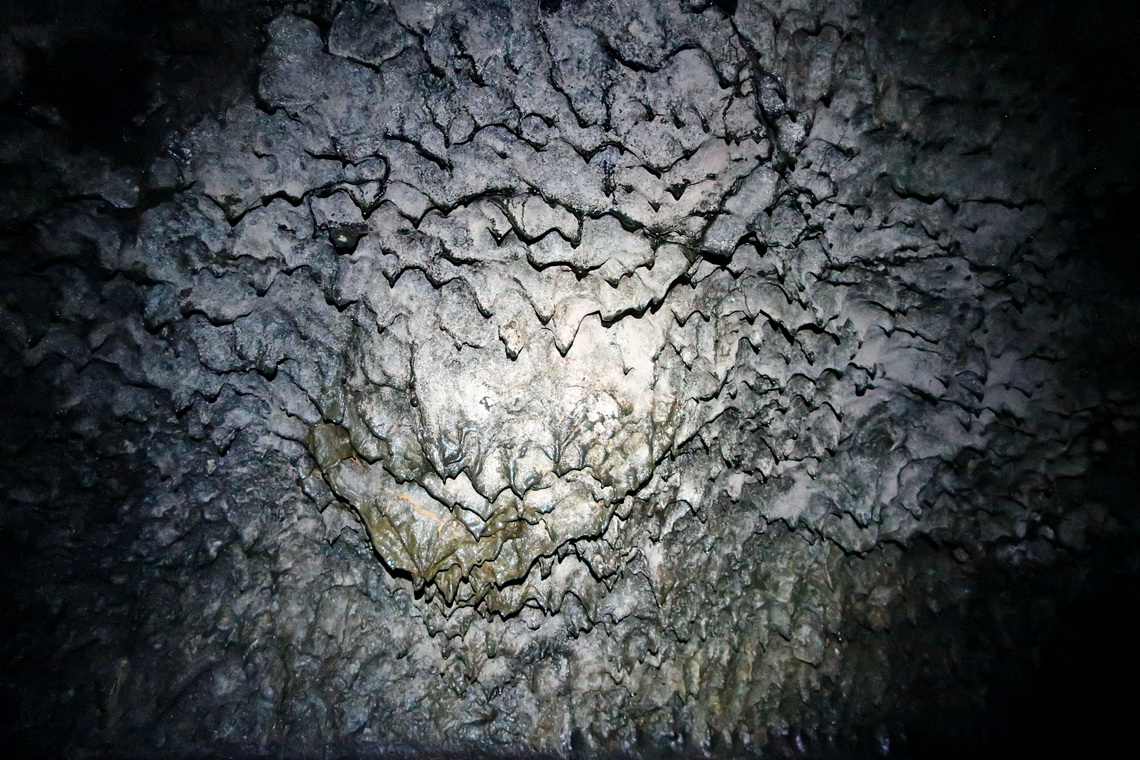
We had no chance to get the climbing permit for Mount Saint Helens on short notice. But we explored the stunning Ape Cave in depth. It is the third longest lave tube in North America, divided into two parts. The comfortable spacious lower part is an easy walk in the darkness of about 2.5 kilometers round trip (same way back).
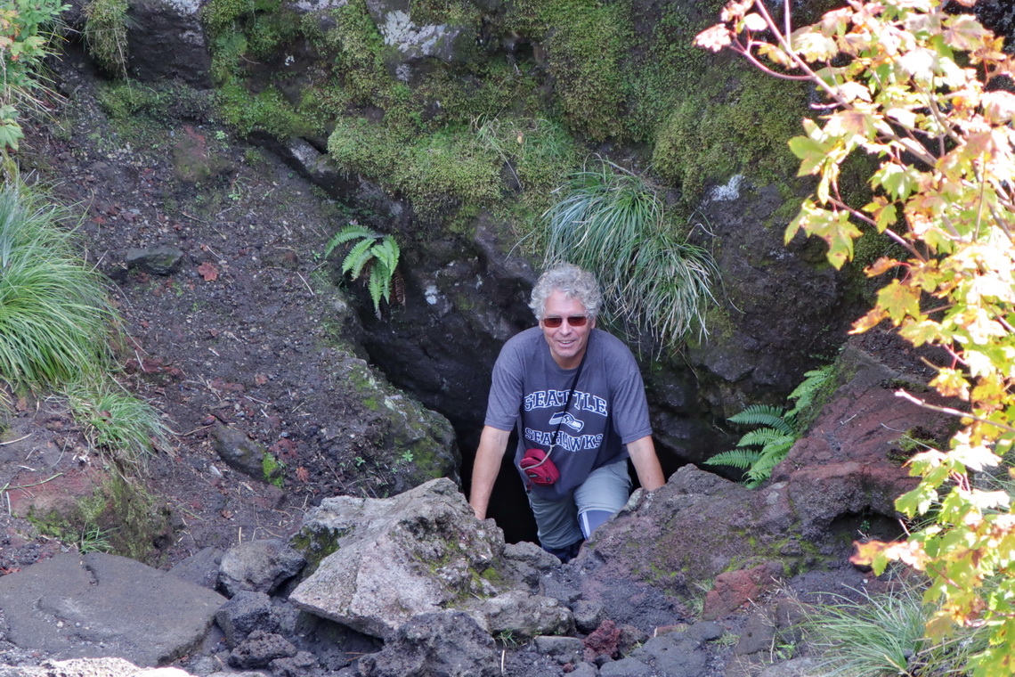
The upper cave is more serious with some rugged climbs through narrow parts. We were happy about our helmets! There is a hole in the ceiling after approximately 2 kilometers which allows in the first natural light since the entrance. After 2.5 Kilometers a metal ladder leads to the exit and return path.
We found the excellent Chinook RV storage for our little camper close to the airport of Portland (23000 NE Marine Dr. Fairview OR 97024). The support of its gentle Manager is outstanding - Thank you so much, Karen.
Our overnight places are included in the GPS Coordinates Files of Alaska, Oregon and Washington
For more pictures, please click here
For a map of Alaska click here For a map of USA Northwest click here
