Marion and Alfred Marion and Alfred
  • Home
  • Itineraries
    • Africa
      • Tanzania
    • Central America
      • Belize
      • Costa Rica
      • Guatemala
      • Honduras
      • Nicaragua
      • Panama
    • North America
      • Canada
      • Mexico
      • United States
    • South America
      • Argentina
      • Bolivia
      • Brazil
      • Chile
      • Colombia
      • Ecuador
      • Paraguay
      • Peru
      • Uruguay
    • From Hamburg to Buenos Aires
    • Asia
      • Cambodia
      • Laos
      • Thailand
      • Vietnam
    • Europe
      • Italy
      • Scandinavia
      • Spain
  • Mountains
    • Africa - Overview
    • Central America - Overview
    • North America - Overview
    • South America - Overview
    • Asia - Overview
    • Europe / Scandinavia - Overview
  • Pictures
  • Maps
    • Map Africa - Tanzania
    • Map America Entire
    • Map Central America
    • Maps North America
      • Alaska and Canada - West
      • Mexico
      • United States - Northwest
      • United States - Southwest
    • Maps South America
      • South America - Northwest
      • South America - Central
      • South America - South
    • Map Southeast Asia
    • Maps Europe
      • Italy
      • Portugal and Spain
      • Scandinavia
      • Spain - Mallorca
  • GPS Coordinates
    • Africa
    • Central America
    • North America
    • South America
    • Asia
    • Europe
  • Guestbook
  • About
    • About Marion and Alfred
    • Chronology
    • Newsletter
    • Contact
  1. You are here:  
  2. Home
  3. Itineraries
  4. South America
  5. Chile

Volcan Parinacota

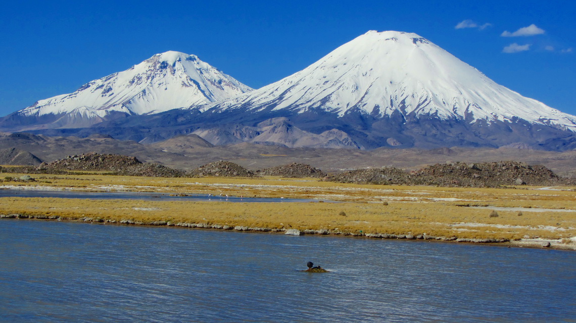
The dominating mountains in the Chilean Lauca National Park are the two Payachatas (twins) Volcan Parinacota and Volcan Pomerape. The first one is with 6342 meters sea-level slightly higher and it is a perfect cone, one of the most beautiful mountains on earth. Both are covered with snow and ice. They are located on the border to Bolivia, there in the Sajama National Park .

On foot of the Payachatas are the picturesque villages Parinacota (Chile - West side) and Sajama (Bolivia - East side). The most popular and common ascent to Volcan Parinacota is from Sajama via the northern ridge, which arises from the saddle between the two volcanoes. It provides beautiful views to the southern glacial face of Volcan Pomerape and to Bolivia's highest mountain on the opposite side of the village: Majestic but icy Nevado Sajama (6542 meters sea-level).

Due to the high altitude of the village Sajama (more than 4200 meters) good acclimatization is mandatoty. On the Chilean side are some nice tours to gain it properly.

West (Chilean) side of Volcan Pomerape and Volcan Parinacota

Read more...

Iquique and Arica

Iquique and Arica are with approximately 150,000 inhabitants each, the two biggest cities in the far North of Chile. Both are located beautifully on the Pacific Ocean surrounded by the pristine Atacama Desert in the back. This part of the desert is famous for its nitrate cities and geoglyphs, which were built between 1000 and 1400 BC by the local tribes. Most of the nitrate cities were established during the nitrate boom, which started mid of the 19th century. Most of them are abundant now, because the development of the artificial fabrication of nitrate mid of the 20th centuries stopped the boom.

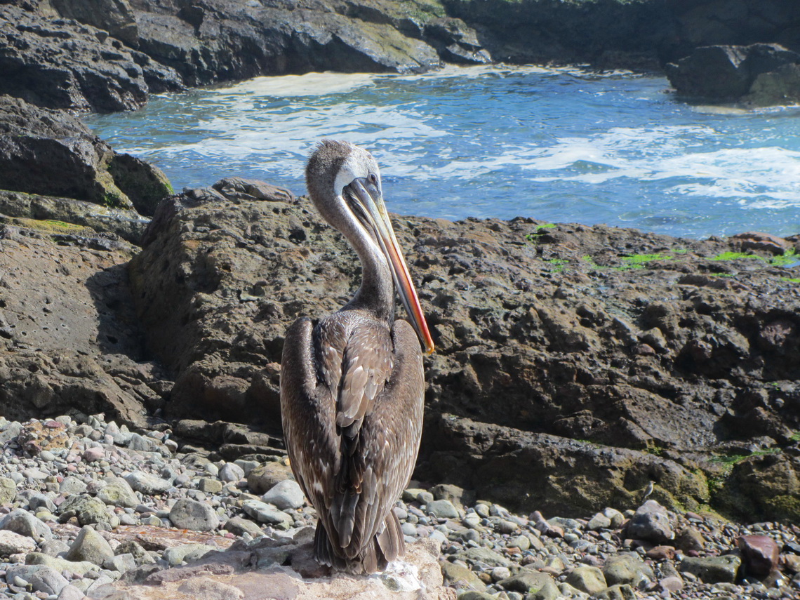
Pelican on the beach close to Iquique


When we came back to Mendoza on May 24th 2012 from our second return to Germany, we wanted to head as fast as possible in the North of Chile because the climate there is much more reasonable in late fall. But first we had to cross the Andes. The only possibility in this season is the tunnel Cristo Redentor, the direct connection between Mendoza and Santiago de Chile.

Read more ... Add new comment

Volcan Tinguiririca

Volcan Tinguiririca is with 4280 meters sea level one of the most dominant mountains 200 kilometers South of Santiago de Chile and 50km East of San Fernando. It is located in an extreme remote but beautiful environment. An aircraft crashed on its slopes in the early spring of 1972. One of the survivor went down after 72 days (!) to get help. Earlier rescue was impossible due to enormous amount of snow and bad weather. Some passengers survived because they had eaten the dead people. This touching story is described in the book "ALIVE".

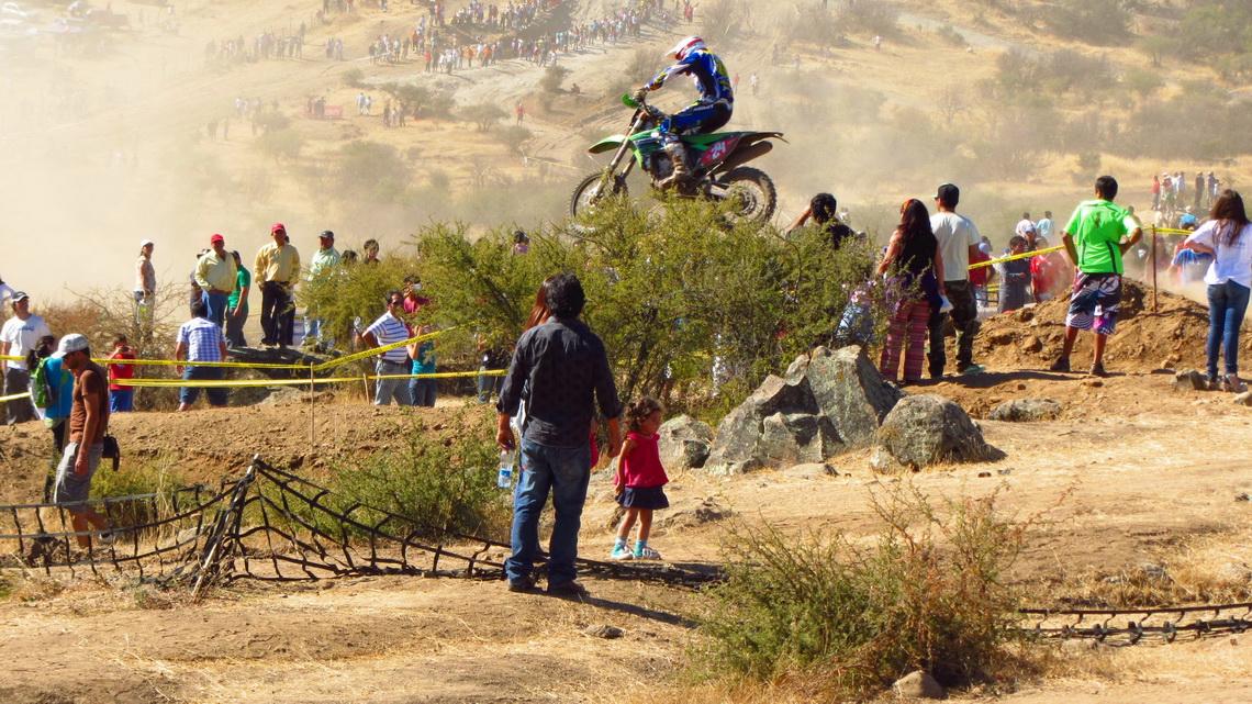
There are the superb hot springs Termas del Flaco on the base of Volcan Tinguiririca. Few kilometers South is the bustling city Talca with approximately 200,000 inhabitants. Paso Maule or Pehuenche leads to Argentina via a pristine and marvelous landscape. Highlights are the hot springs Termas Campanario, the waterfalls Cascada del Arco Iris and the incredible blue lake Lago Maule. When we came to Talca we could watch an exciting event. 

World Motocross Championship 2012

Read more ... Add new comment

Chiloe and Valdivia

Chiloe is with 9,600 sq km the second biggest island of South America, located more than 1000km south of Santiago in the Pacific Ocean. It is a hilly and green but harsh land with more than 2200mm precipitation per year. Most of its population live in the two bigger towns Ancud and Castro, which have about 20,000 inhabitants each. Many descendants of the native tribe Huilliche live in its smaller villages and settlements. Thanks to its isolated location, Chiloe suffered less from the mainstream of Spanish colonial development.

Chiloe is famous for salmon farming, its fine wooden churches, picturesque Palafitos (houses on stilts above the water), pristine beaches, dense cold rain forests, abundant fauna and flora. Huge areas are protected by national, regional or private parks.

250km North of Chiloe is the city of Valdivia, which has with more than 120,000 people approximately the same population like Chiloe. We came March 12th 2012 to Chiloe via the Panamericana (Ruta 5) and the usual ferry from Pargua. Close to Pargua is the pretty fishing port Maulin.

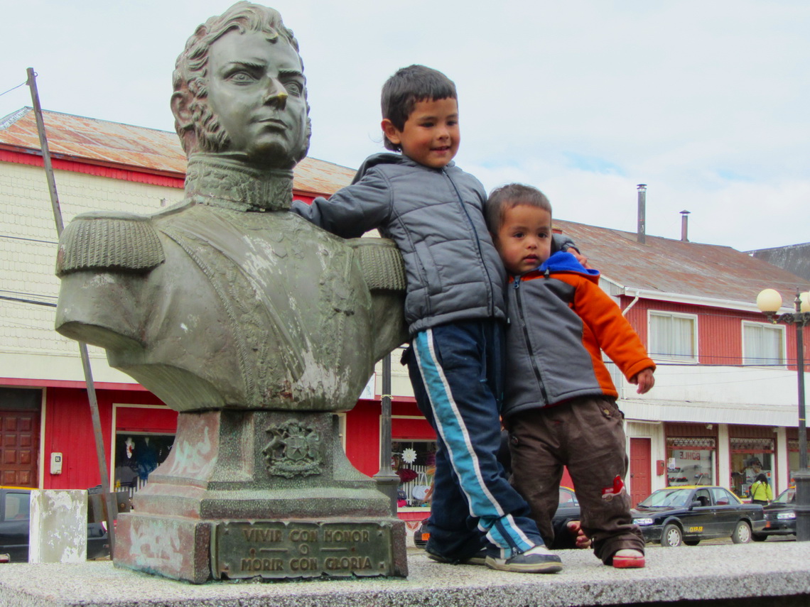
Boys of Maullin with Bernardo O'Higgins, the Chilean National Hero

Read more ... Add new comment

Volcan Chillan and Volcan Antuco

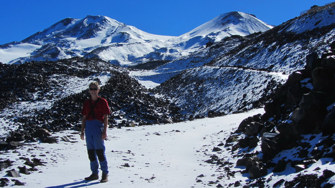
The twin Volcanoes Chillan Viejo (old) and Nuevo (new) are 80 kilometers East of the town Chillan and the hot springs with the same name. This region is famous for its ski resort, the largest in Chile. Both volcanoes are active with some smoking rocks as well as the neighboring Nevados de Chillan. Besides their relatively low height of approximately 3200 meters the glaciation is quite big. 

Volcanoes Chillan Nuevo and Viejo


50 km South of the Volcanoes Chillan is the Parque Nacional Laguna del Laja. The lake Laguna Laja originated in the year 1873 due to a heavy eruption of the Volcan Antuco. This mountain is also a perfect black and / or white cone of close to 3000 meters height dominating the landscape of the national park. But it is excelled by the rough Sierra Velluda with its huge glaciers.

End of February 2012 we headed fast to the small village Bulnes to visit our friends Petra and Paddy in the winery Vina Chillan, see www.vinachillan.cl. This is one of the southernmost wineries on earth driven by Ruedi, like Petra and Paddy a Swiss citizen.

Read more ... Add new comment

Volcan Calbuco

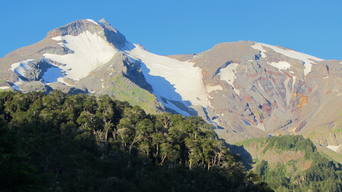
Volcan Calbuco is one of the most active in Chile. Its last major eruption was in the year 1961. The outburst of 1893 blew up its summit cone. Thus its shape is not so perfectly like the neighboring Volcan Osorno, which is supposed to be one of the most beautiful mountains on earth. Both volcanoes are located close to the lake Lago Llanquihue in the marvelous Lake District, the X region of Chile. Puerto Montt is its capital, a bustling city of more than 120,000 people and situated on the north shore of the fjord Seno de Reloncavi. 20km North of Puerto Montt is one of the major tourist destination in southern Chile: Puerto Varas on the southwest side of the huge Lago Llanquihue. Both towns have obvious Austrian, German and Swiss influence like the whole Lake District of Chile.

Volcan Calbuco at sunset - our route is the ridge on the left


We arrived in Puerto Montt three days prior to Tommy's return fly to Germany in the morning of January 31st 2012 and it was raining cats and dogs. We used the time to visit Nuevo Braunau and Puerto Varas, which have also some beauty at bad weather.

Read more ... Add new comment

Carretera Austral

The last section between Puerto Montt and Cochrane of the Carretera Austral (Southern Highway) in the South of Chile was opened foremost in 1988. Nowadays this street leads to Villa O'Higgins close to the southern continental ice-field Campo de Hielo Sur. It is mainly a rough, dirty and dusty road including some sea crossings by ferries.

Driving the more than 1000 km of the Carretera Austral is still an adventure in very dense cold rain forest between steep mountains and vast glaciers in an extremely thin populated environment. Just few settlements with some people are located on this route. There is only one bigger city: Coyhaique the capital of the XI region of Chile, Aysen.

Besides the harsh climate even sometimes in summer, the tourism industry detects more and more the incredible beauty of the landscape. Consequently the numbers of travelers increase from all of the world. A specialty might be the unusual high quantity of people from Israel. Somebody from there told us that this part of Patagonia is the Praised Land and every Israeli has to visit it, ... .

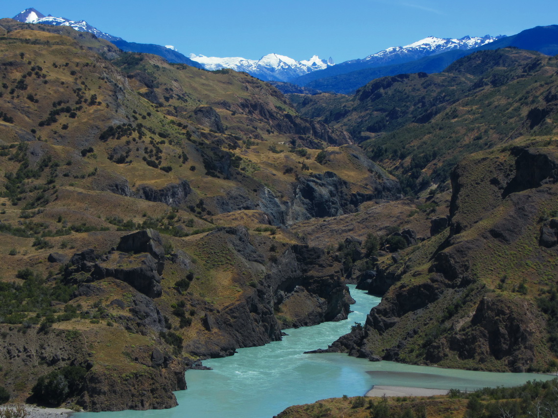
We fully confirm the marvelous and stunning landscape and we were very lucky: January 2012 was an outstanding weather with sun and heat nearly every day thanks to Global Warming! We came to the small and quiet town of Cochrane mid of January from Argentina over the remote Paso Rodolfo Roballos.

Fierce Rio Baker between the northern and southern continental ice-fields

Read more ... Add new comment

Pali Aike and Torres del Paine - Christmas 2011

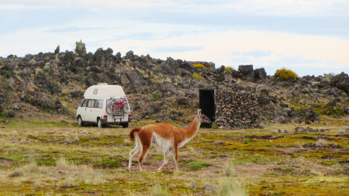
Pali Aike is a fine and remote National Park in southern continental Chile, located close to the Strait of Magellan and the Atlantic. The name Pali Aike is from the original tribe Tehuelche and means Devil's Country. It is a harsh volcanic steppe decorated with extinct craters, caves and other volcanic formations. Wildlife is abundant, for instance you might see Guanacos, Eagles, Armadillos or Grey Foxes. The entrance to the Pali Aike National Park is free of charge as well as a nice campground. There are several superb hikes.

We came back to the Torres del Paine National Park on December 22nd 2011, because Tommy, Marion's brother wanted to hike the W. This is the most popular part of the Circuito Grande, which we did few weeks ago. There are some "side" hikes at the Guarderia Lago Grey like the viewpoints Mirador Zapata and Mirador Ferrier.

After visiting the cave, we spent the shortest night in the Pali Aike National Park totally alone and celebrated midsummer with some beer watched by some Guanacos.

Our campground

Read more ... 1 comment

Tierra del Fuego - Chile

Tierra del Fuego is with its 47,000 square kilometers the largest island of South America and it is located at its southern end: Fin del Mundo - the end of the world. It is shared between Argentina and Chile, approximately two third belong to Chile. The Argentine part is much more populated, but only a little more than 100,000 people live in whole Tierra del Fuego. Its is a harsh island with two different geographical regions: North and East is the windswept pampa; South and West are the Andes with steep pinnacles, huge glaciers, remote fjords and numberless islands in front.

The first people came 10,000 years ago to Tierra del Fuego and were able to deal with the hard conditions. But the European immigrants exploited and eradicated the native people at the end of the 19th century. Hernando Magellan gave Tierra del Fuego its name - Fireland, because he saw a lot of fires on the island which were used by some of the native tribes for their communication.  

The Chilean part is a little bit sleepy with only one bigger town: Porvenir with just 5,500 inhabitants. Therefore the nature is more or less intact with abundant flora and fauna but non endemic animals like innumerably Sheep, Rabbits or Castors disturb the balance of its nature.

We crossed the strait of Magellan directly from Punta Arenas to Porvenir in the morning of December 4th 2011. This was a pleasant 4 hour trip in calm waters on a sunny day - nobody got seasick.

Our first impression of Tierra del Fuego

Read more ... Add new comment

Punta Arenas and its surroundings

Punta Arenas is with 140,000 inhabitants the biggest city in southern Patagonia and the capital of the XII region Magallanes y Antartica of Chile. The busy industrial town is located on the Strait of Magellan and it is the most important port in this area. It is also a famous cruise and tourist destination.

Its environment is beautiful with forests, mountains, lakes and the Pacific Ocean. Few kilometers West of Punta Arenas is the National Park Reserva Nacional Magallanes with a lot of nature including hiking capabilities and viewpoints. But there are also a small skiing area, many radio transmitters and a military station on its highest point Monte Fewton.

South of Punta Arenas at the very end of continental South America is a remote area on the Strait of Magellan with superb trekking possibilities like Monte Tarn (825 meters), or the lighthouse Faro Cabo San Isidro. 

Punta Arenas and the Strait of Magellan

Read more ... 2 comments

Torres del Paine - Circuito Grande

The Torres del Paine National Park in southern Chile is probably the finest and most famous National Park of South America. Rising close to 3,000 meters above the Patagonian steppe, the Torres del Paine dominates the landscape with sensational granite pillars, spectacular glaciers and marvelous lakes. It provides excellent hiking possibilities like the more than 100km long Paine Circuit, which can be done in 8 to 10 days. All needed facilities like campgrounds with hot showers, mountain huts or food stores are available. but the weather is very changeable. It is located 150km North of Puerto Natales, the second biggest town of Chilean Patagonia.

Puerto Natales is on the windswept shores of Seno Ultima Esperanza - Last Hope Sound. The 16,000 people city is the bustling hub for the Torres del Paine National Park. Both, the city and the park, are very crowded with tourists between mid of December and end of February.

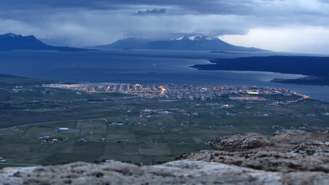
We crossed the Chilean border in the late afternoon of November 5th 2011 after a long drive. We were eager for some sport activities and suddenly we saw a sign Mirador Sierra Dorotea 5 km before Puerto Natales. We were a little bit irritated by the expensive fee of 10 bucks per person an elderly Lady charged from us, but she told us it is including tea or coffee. But we wanted to walk to the viewpoint. It became almost dark, when we arrived at the top after 1.5 hours walking, but the views were still outstanding.

Puerto Natales and Seno Ultima Esperanza seen from the Mirador Sierra Dorotea


Read more ... Add new comment

Volcan Licancabur and Cerro Incahuasi

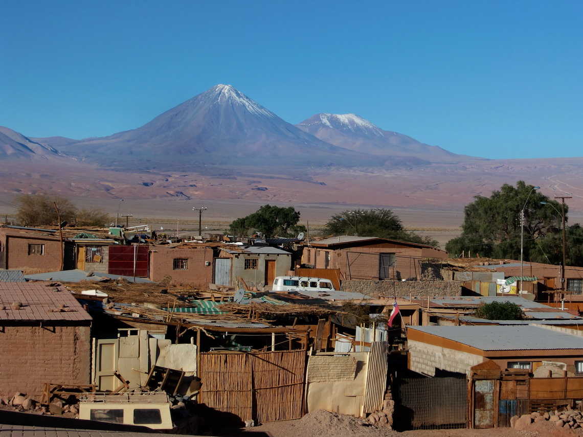
The mountain Volcan Licancabur is the landmark of San Pedro de Atacama. Its shape is a perfect cone, with more than 3,500 meters over San Pedro. But the ascent is not possible on the Chilean side of Licancabur, because a lot of dangerous blockbusters are on this side and nobody knows where they are buried. Hence you have to go to Bolivia if you want to climb up Licancabur. It has one the highest lake of our world in its crater, more than 5,800 meters sea level. On its foot are some ancient ruins built by the Incas as well as on top of Cerro Incahuasi. This mountain is closed to the road to the Paso Jama few kilometers North of Licancabur. 

Volcanoes Licancabur and Juriques with the suburbs of San Pedro


Read more ...

San Pedro de Atacama and its environment

San Pedro de Atacama is the archaeological capital of Chile. A lot of ancient villages and sites like Pukara de Quitor are closed to San Pedro. There is also a very nice archaeological museum. San Pedro de Atacama is an oasis in the extreme dry Atacama Desert on foot of the Andes. Its environment is very beautiful with salt lakes, hot springs, gorges, rocks and a lot of volcanoes. South of San Pedro is the Salar de Atacama, the third largest salt lake in the Andes. West of San Pedro is the Valle de la Luna, the moon valley, which gives an imagination of the landscape of the moon. San Pedro is the holiday destination in the north part of Chile. All facilities like excellent restaurants, souvenir shops and tour guides are available. And there are many tourists from nearly every part of the world. The climate of San Pedro is very pleasant, especially in autumn: Always sunny, up to 25°C in the afternoon, but closed to zero in the morning. San Pedro is already more than 2400 meters high.

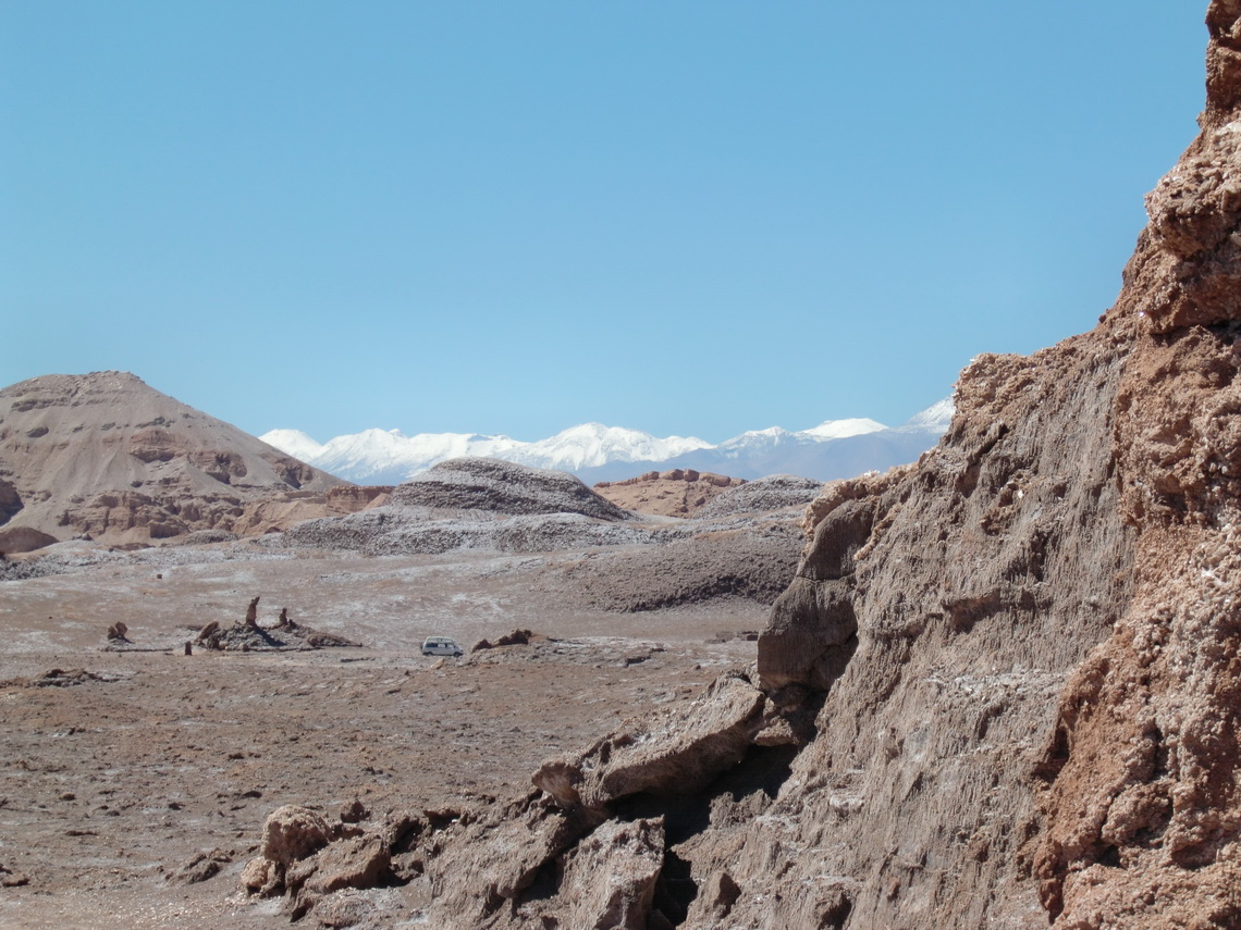
We started our trip to San Pedro de Atacama in the valley Valle de la Luna. This valley is part of the Cordillera de la Sal (salt mountains), which is between the bigger Andes and Cordillera Domeyko. It is built up mainly by a mixture of salt, mud and sand.

In the valley Valle de la Luna with snowy Andes in the background 

Read more ... Add new comment

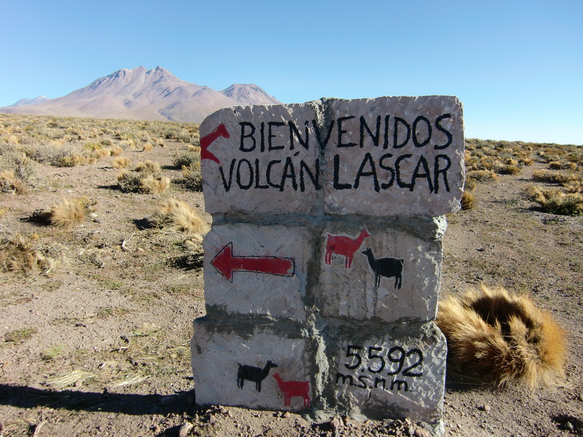
Volcan Lascar

Lascar is the most active volcano in the northern part of Chile. It is a huge mountain with several peaks up to 5592 meters and an enormous smoking crater. The ascent is very popular, because it is just 100 kilometers away from San Pedro de Atacama and a height of 4800 meters can be reached with a good four wheel car. Consequently many tour offices in San Pedro offer the ascent of Lascar. The first destination is the marvelous Laguna Lejia which can be accessed by a dirty gravel road from the village Toconaco, which is located at the main street to the Paso Sico, approximately 40 km south of San Pedro de Atacama. We decided to try to drive to the Laguna Lejia with our camping car. If it became too difficult for our car we had the idea to use our bicycles

Hint that we are on the right way


Read more ... Add new comment

From Copiapo to Antofagasta

Copiapo is the capital of the 3rd region of Chile and one of the major mining cities in Chile. It is a very pleasant town with all facilities. Copiapo was in the news worldwide in the year 2010, because of an mining accident. Fortunately all miners could be rescued after several weeks. Antofagasta is the biggest city in Northern Chile and the capital of the 2nd region. It is located on the Pacific Ocean and it looks much more urbanely like Copiapo - 250,000 inhabitants versus 100,000. Between Copiapo and Antofagasta is the National Park Pan de Azucar on the Pacific with nice beaches and unbelievable game and birds in a very pristine environment. The name Pan de Azucar means sugar bread and its related to the white rocks due to the guano feces of the birds.

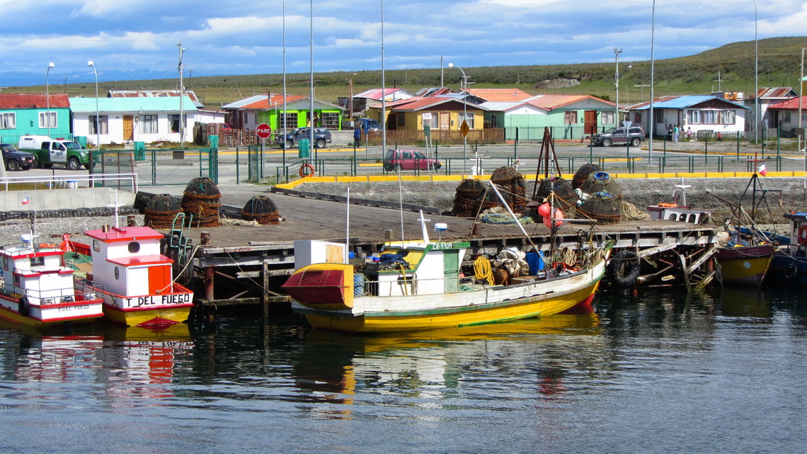
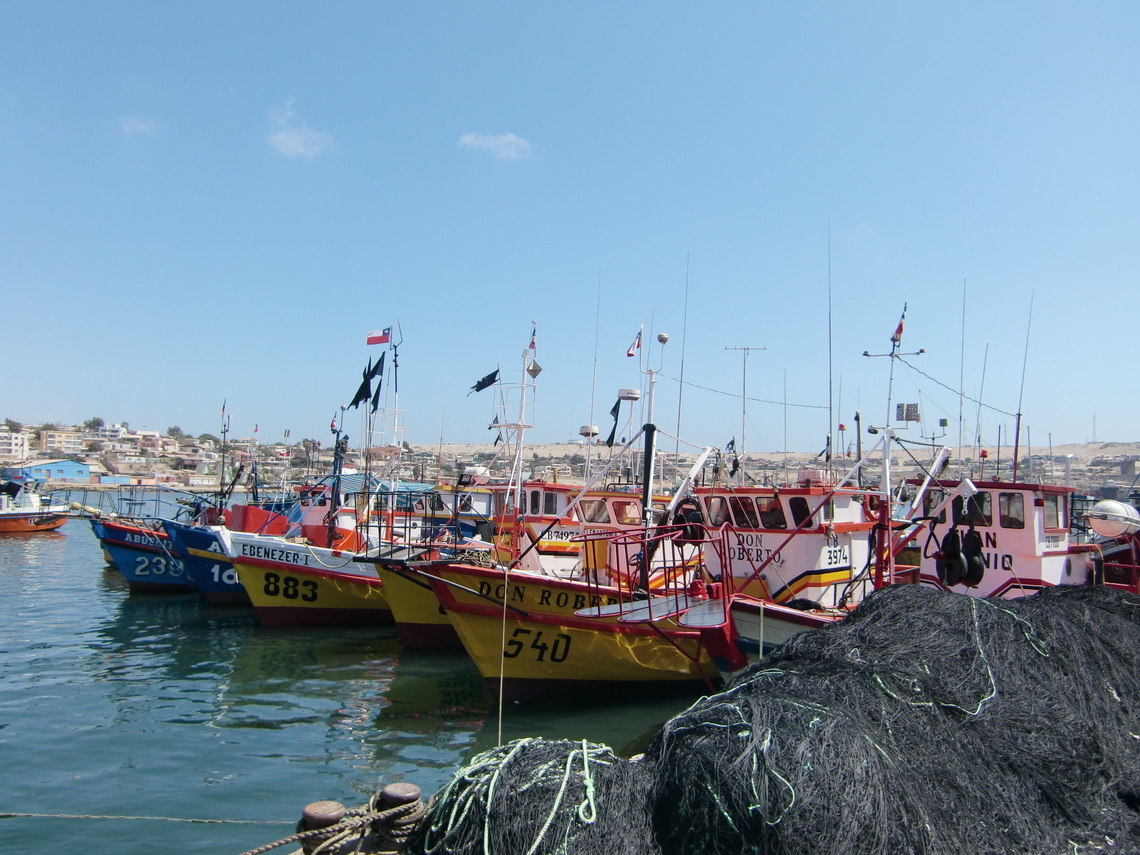
We stayed several times in Copiapo, because we decided to make a sevice on our Camping Car. The problem was the oil filter, first the wrong was delivered and second it was shipped to La Serena, 350km south. But we used the time to explore the beaches, which are 60 to 100km west of Copiapo. Our first destination on the Pacific was Bahia Inglese, a very noble and expensive holiday village. We spent two days there on a nice camping ground to free our car from the dust of the Paso San Francisco. The dust was everywhere, also inside the lockers! Totally different to Bahia Inglese is Caldera, a fishing port few kilometers north. It has a picturesque harbor with a lot of life.

Quaint fishing boats in Caldera

Read more ... Add new comment

Ojos del Salado, the highest volcano on earth

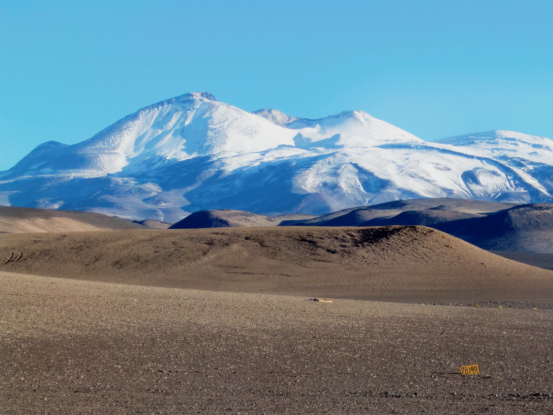
Ojos del Salado is not only the highest volcano on earth, it is with 6893 meters also the highest summit of Chile and of the province Catamarca in Argentina, and it is the second tallest peak of the Andes and outside of Asia of our world. Another particularly of Ojos del Salado in comparison to the other high mountains of Chile and Argentina is that you have to climb the last 50 meter to the summit, not very difficult (grade II to III). But you have to consider the enormous height of more than 6800 meters!

Ojos del Salado has a very good infrastructure including a base camp at the Laguna Verde and two mountain huts on the Chilean standard way to its Chilean summit.

After we had crossed the border between Argentina and Chile on the Paso San Francisco we checked the conditions of the ascent to the Ojos del Salado at the base camp at the Laguna Verde. Indeed there was a German young man on the summit today, and he ensured us that the conditions are very well, e.g. good steps in the snow and no snow on the climbing section. But there were two hooks: We have to pay 160U$ per person for the usage of the huts and we need a permit of DIFROL, which is the Chilean border control. The first one is okay, but the latter one means driving 270km very dirty and dusty road to Copiapo and back - In summary 540km deviation! So we promised Paula and Mario, the two mountain guides which administer the climbing to Ojos del Salado, to come back in two days, if the weather forecast is good.

Ojos del Salado on the left side - unusual white

Read more ... 2 comments
Copyright © 2023 Marion and Alfred. All Rights Reserved. Designed by JoomlArt.com. Joomla! is Free Software released under the GNU General Public License.
Bootstrap is a front-end framework of Twitter, Inc. Code licensed under MIT License. Font Awesome font licensed under SIL OFL 1.1.
Powered by T3 Framework