
- You are here:
- Home

- Pictures
- North America
- United States
- Highest Peaks of Rocky Mountains
Pictures - Highest Peaks of Rocky Mountains
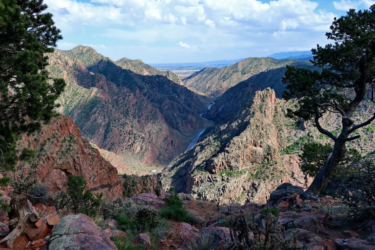
The Royal Gorge of the Arkansas River in southern Colorado
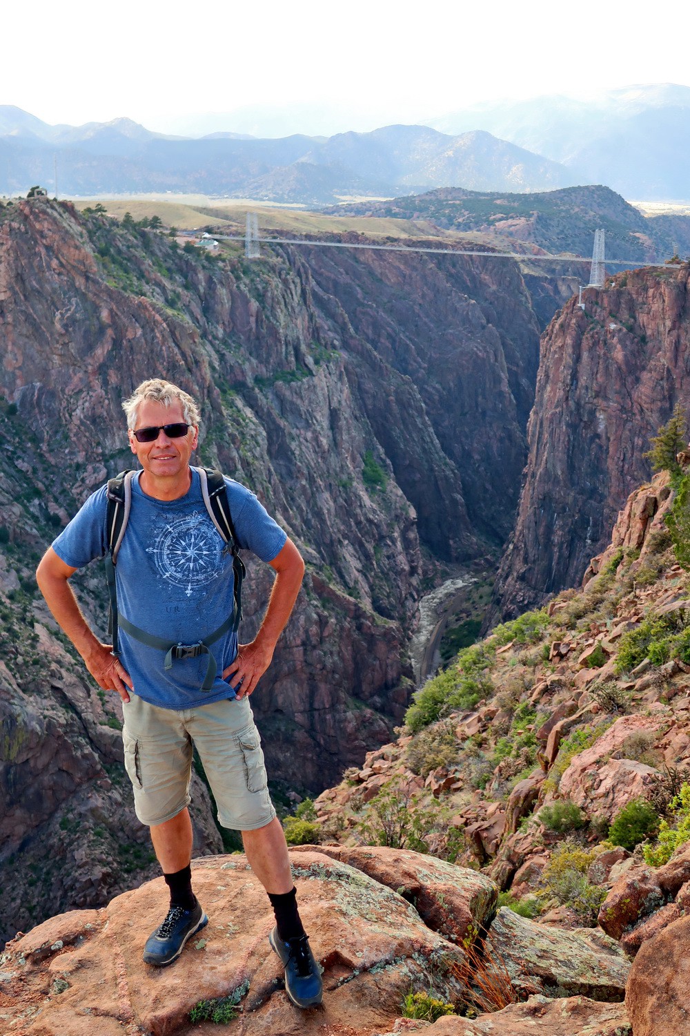
Alfred with the (expensive) Royal Gorge Bridge
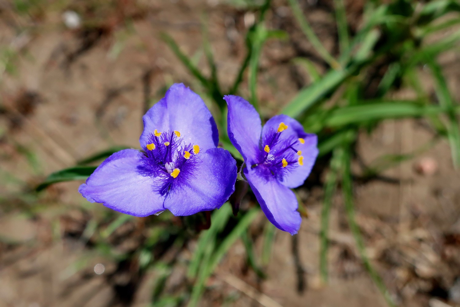
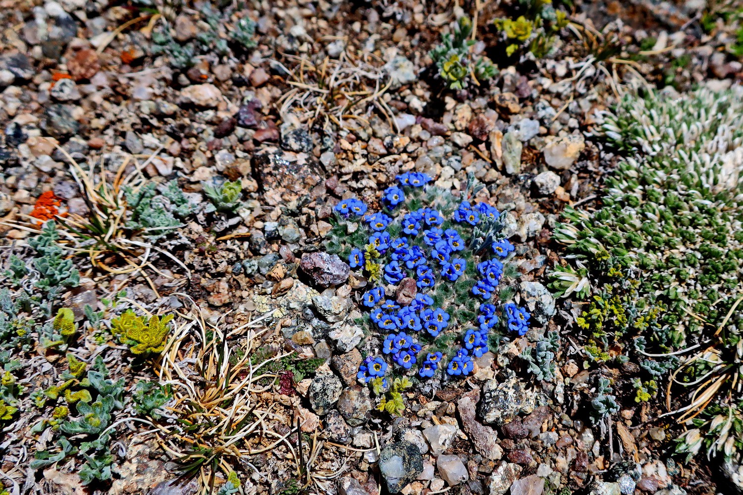
Blue flowers in the Royal Gorge Park
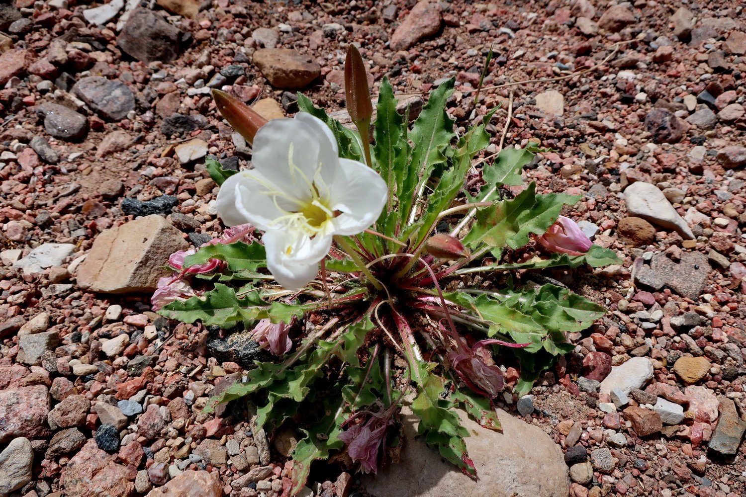
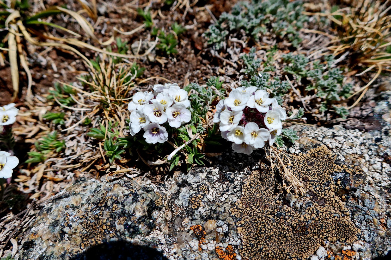
White flower
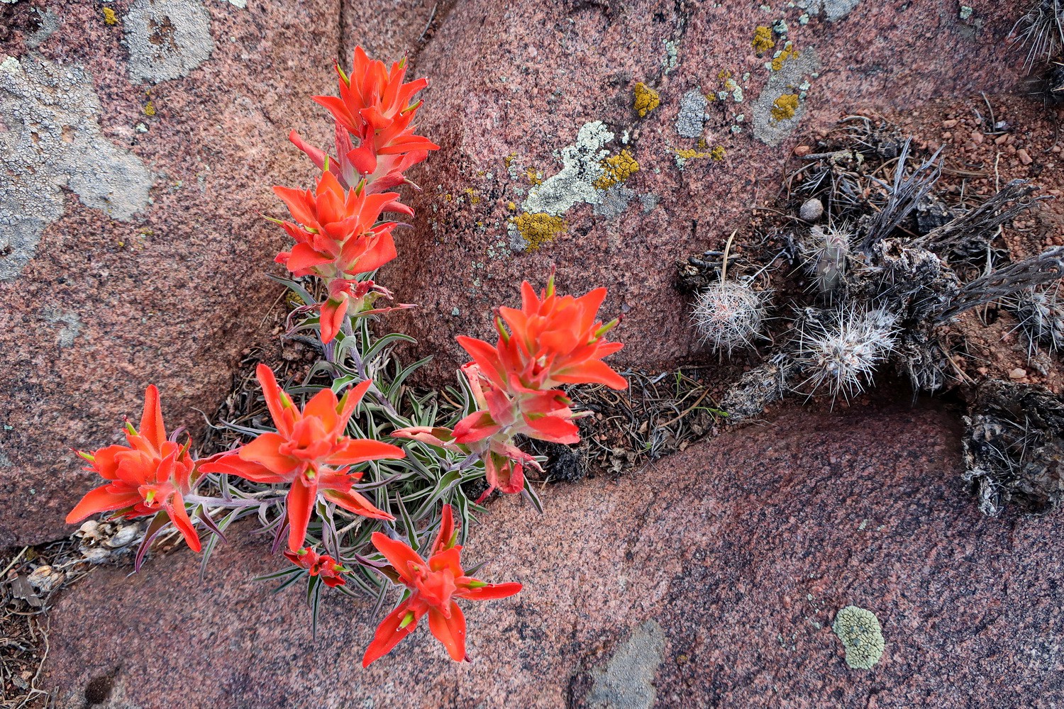
Red flowers with cacti and lichen
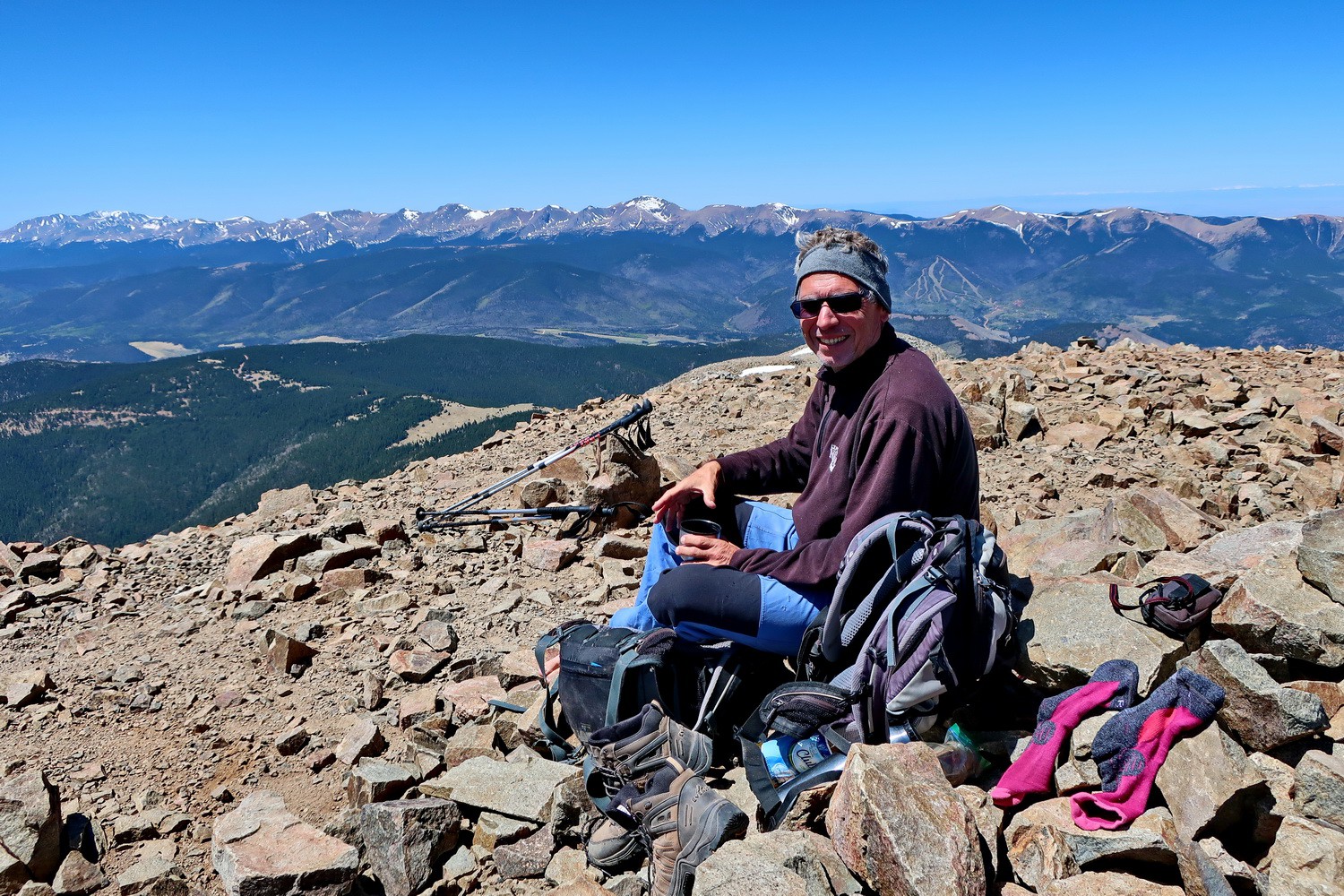
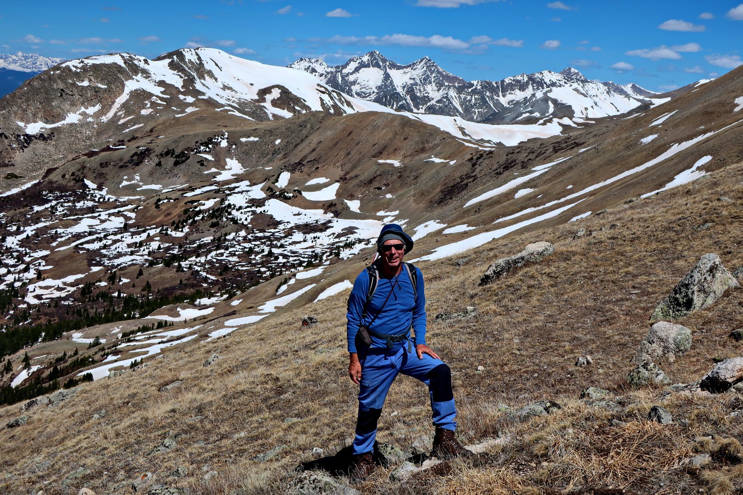
On top of West Spanish Peak which is with 4135 meters sea-level our first 4000er in the Rocky Mountains
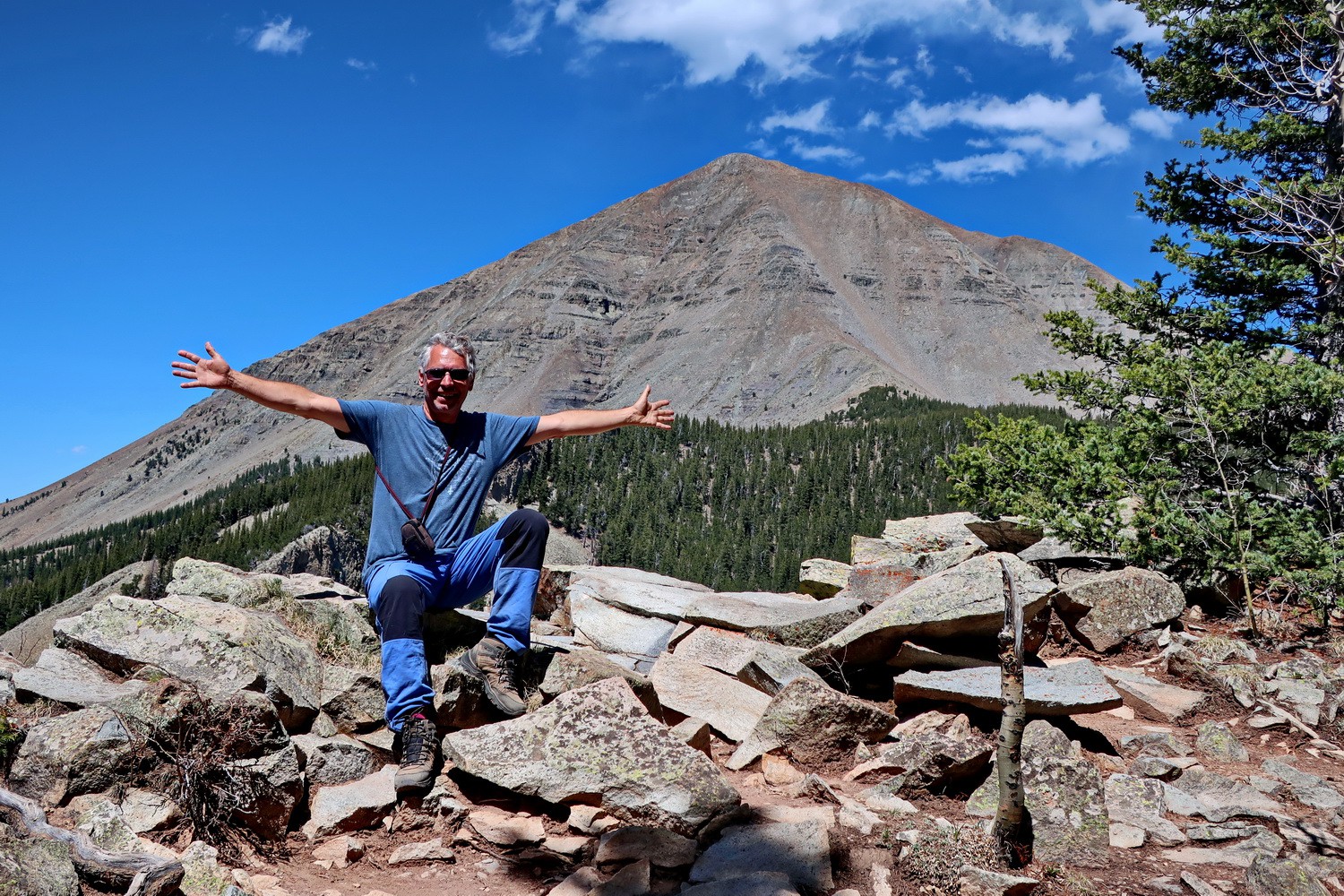
Rocky West Spanish Peak
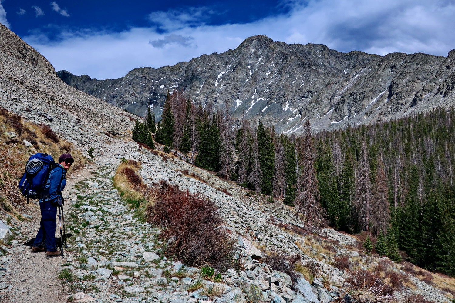
Marion on the way to the base camp of Blanca Peak
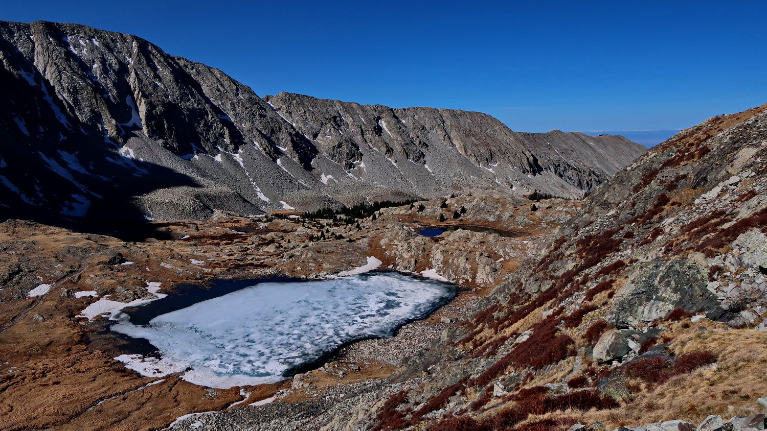
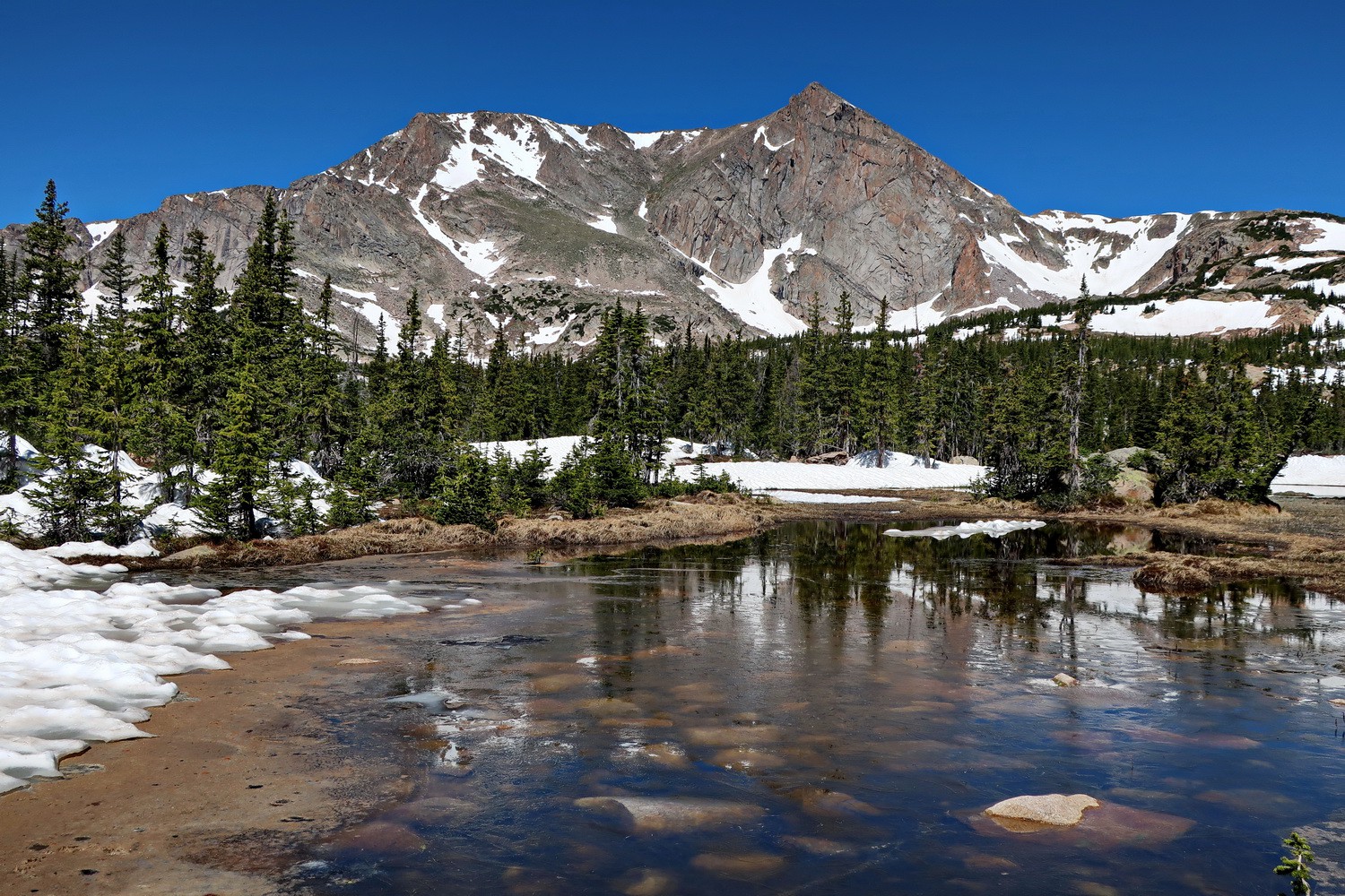
Frozen lake on the way to Blanca Peak
Marion with 4287 meters high Ellingwood Point
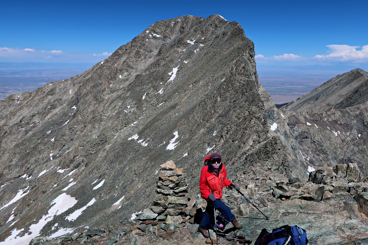
Arriving the summit of Blanca Peak
On top of Blanca Peak which is with 4372 meters sea-level the 4th highest summit of the Rocky Mountains and tallest of the Sangre de Cristo Mountains
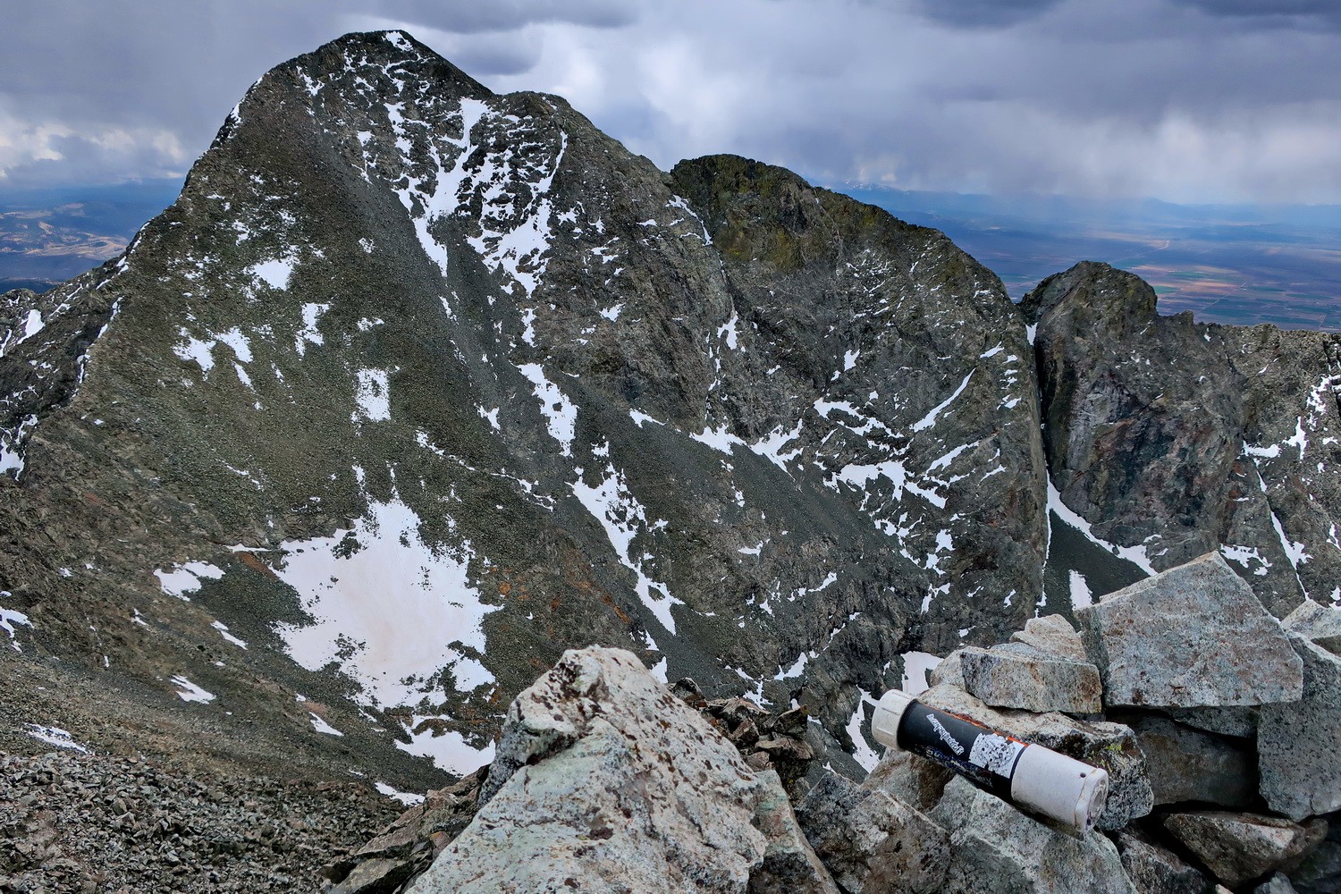
Blanca Peak seen from Ellingwood Point
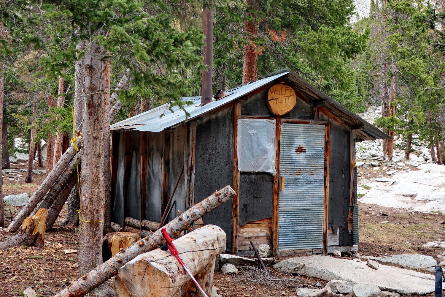
Little hut in the base camp of Blanca Peak
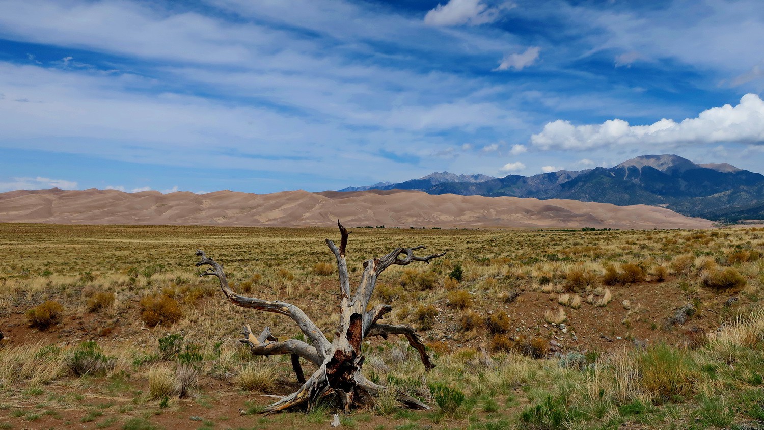
Great Sand Dunes in the Sangre de Cristo Mountains which are with more than 200 meters high the tallest dunes in North America
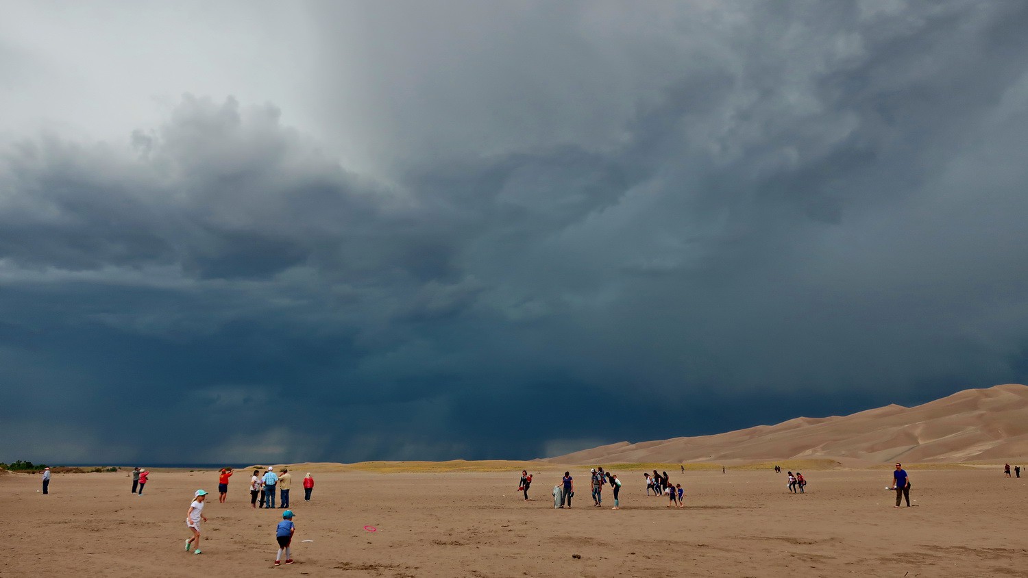
Crowded Great Sand Dunes National Park with black clouds - thunder and lightning are coming!
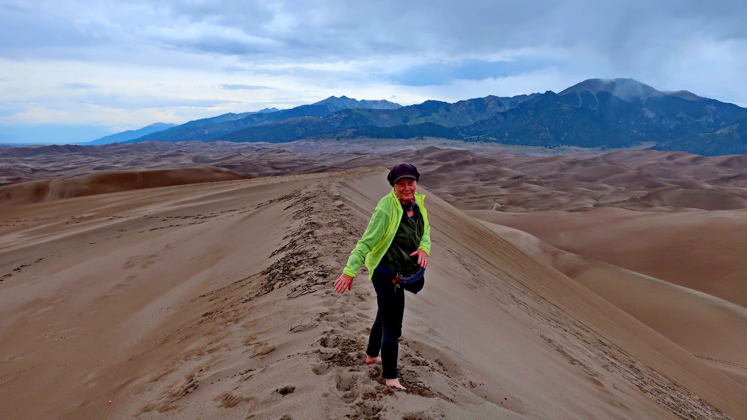
Marion on top of the 213 meters tall High Dune
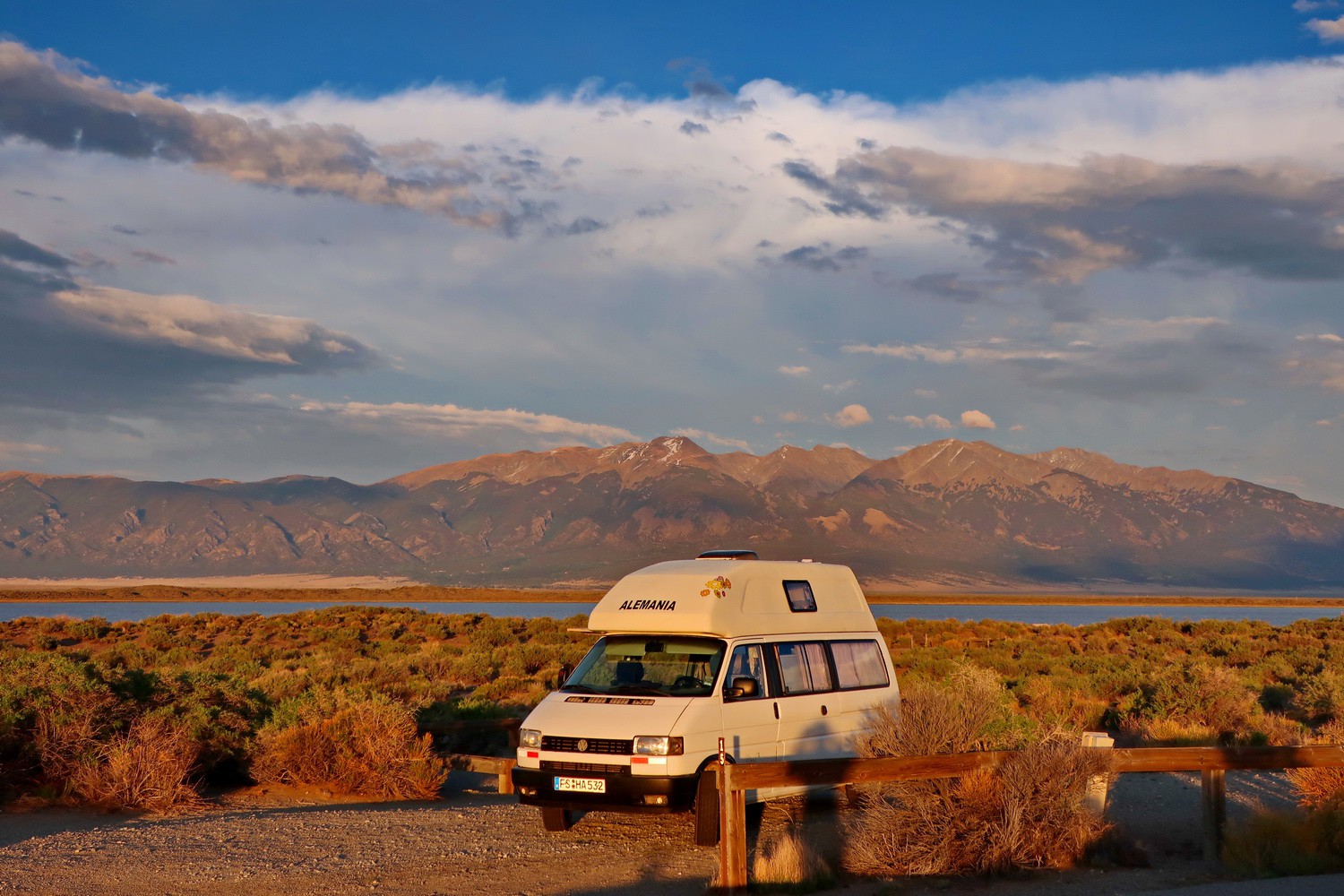
Sunset on the free campsite on San Luis Lake
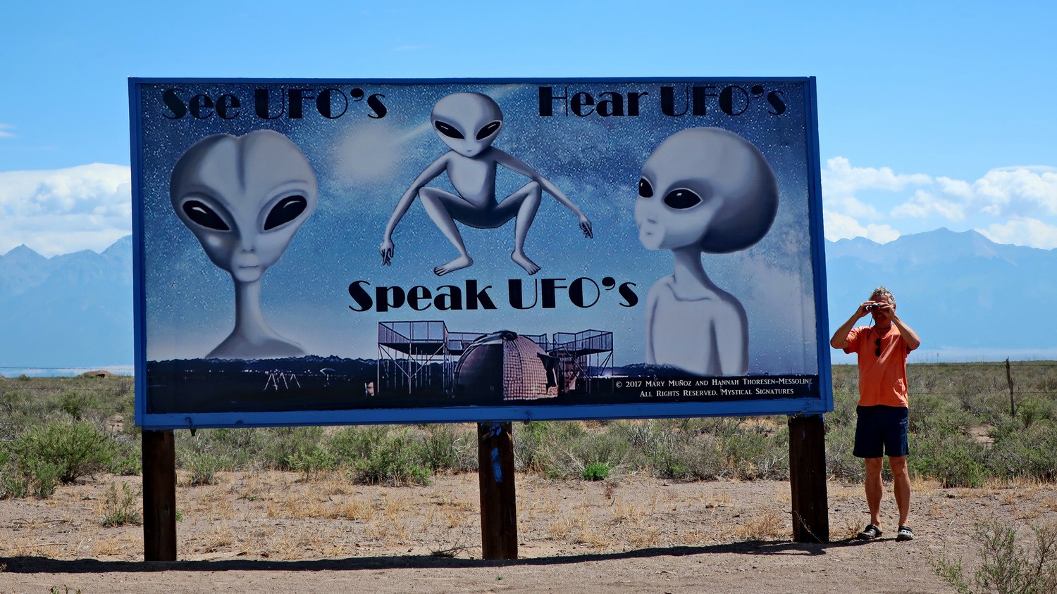
UFOs in the Sangre de Cristo Mountains?
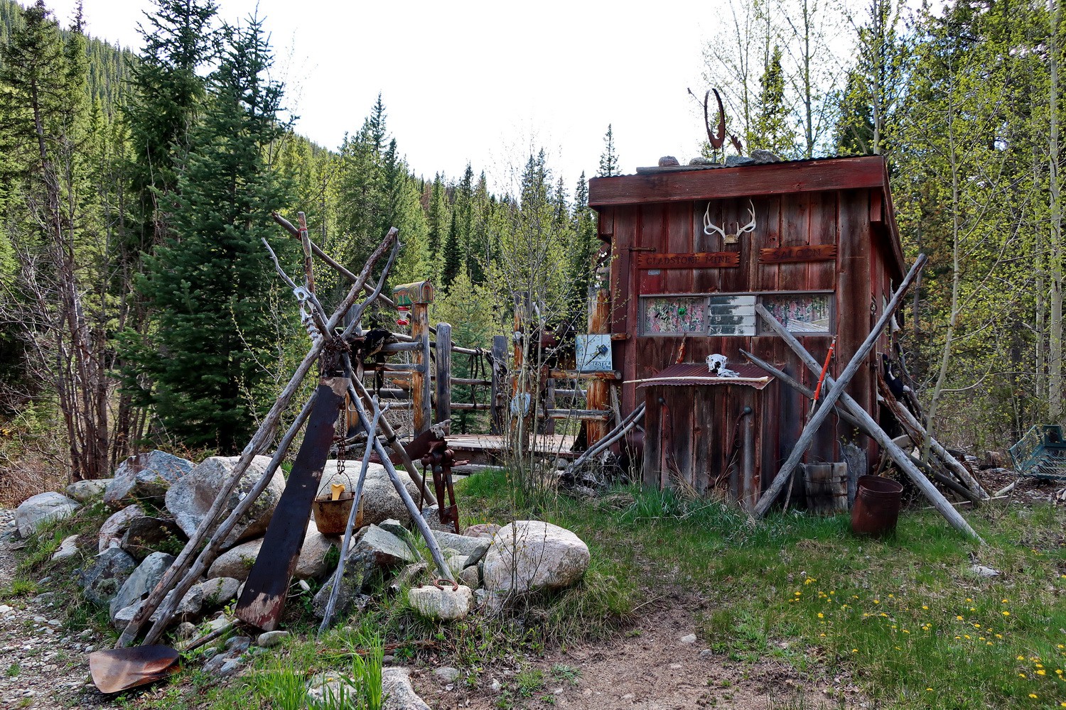
Datcha in the Middle Cottenwood Creek close to the trailhead to Mount Yale
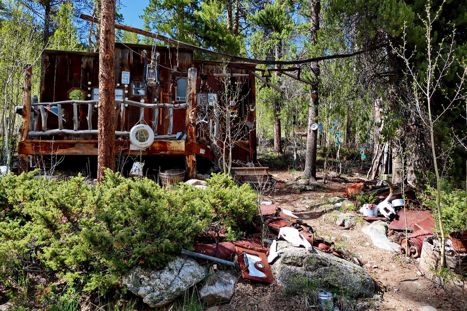
Another datcha, maybe from a seaman
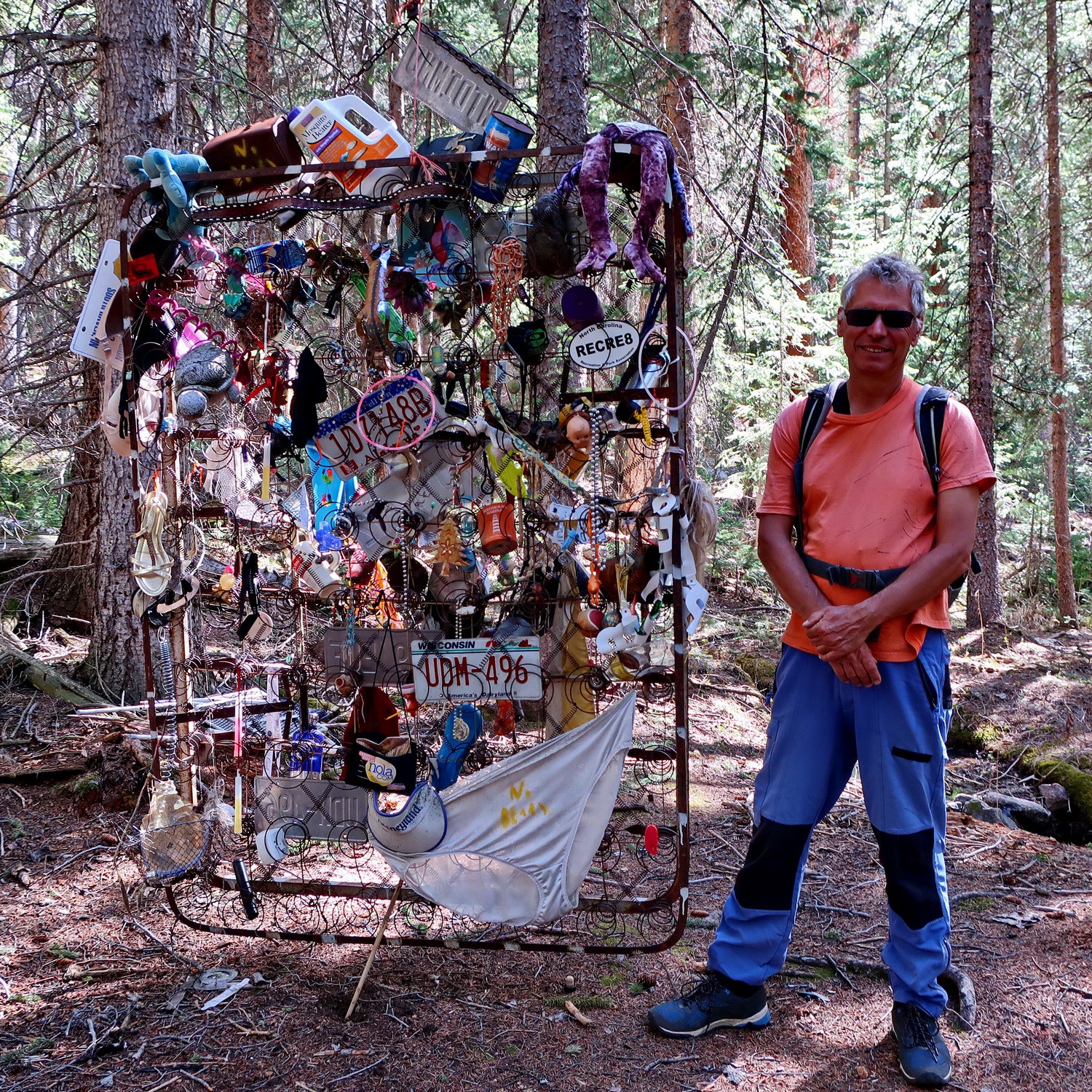
Fancy stuff in the forest including huge white pants!
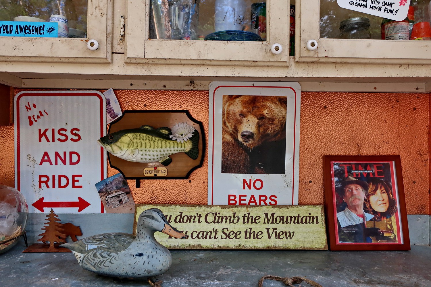
Kitchen in the forest
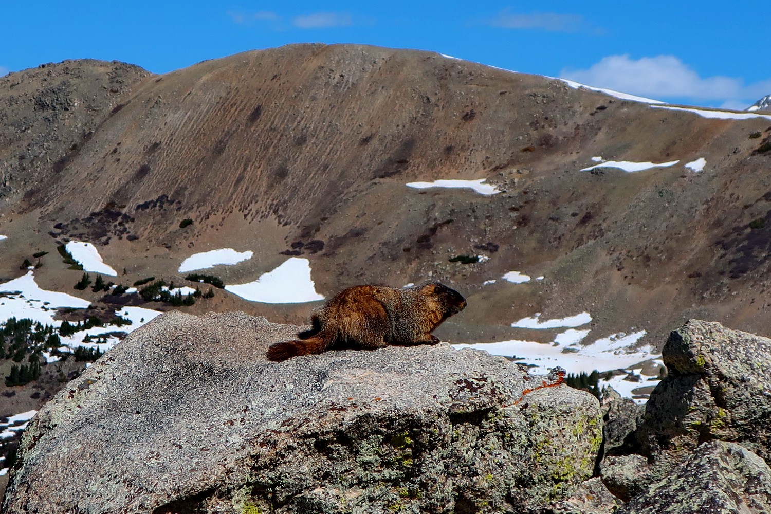
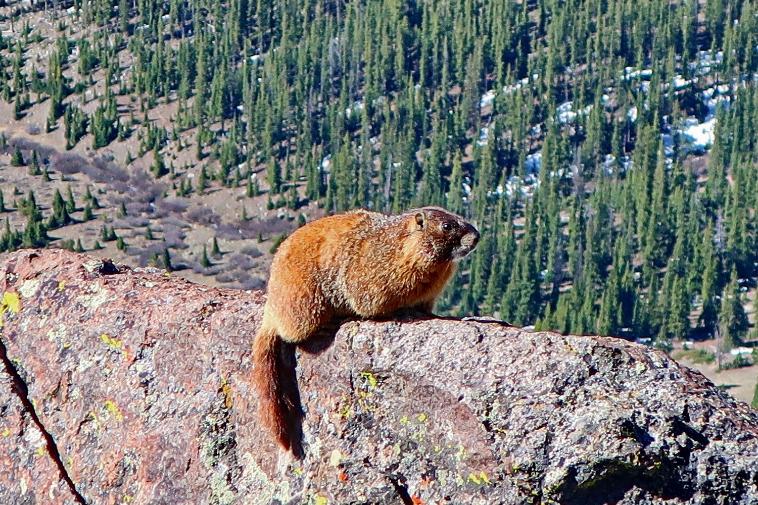
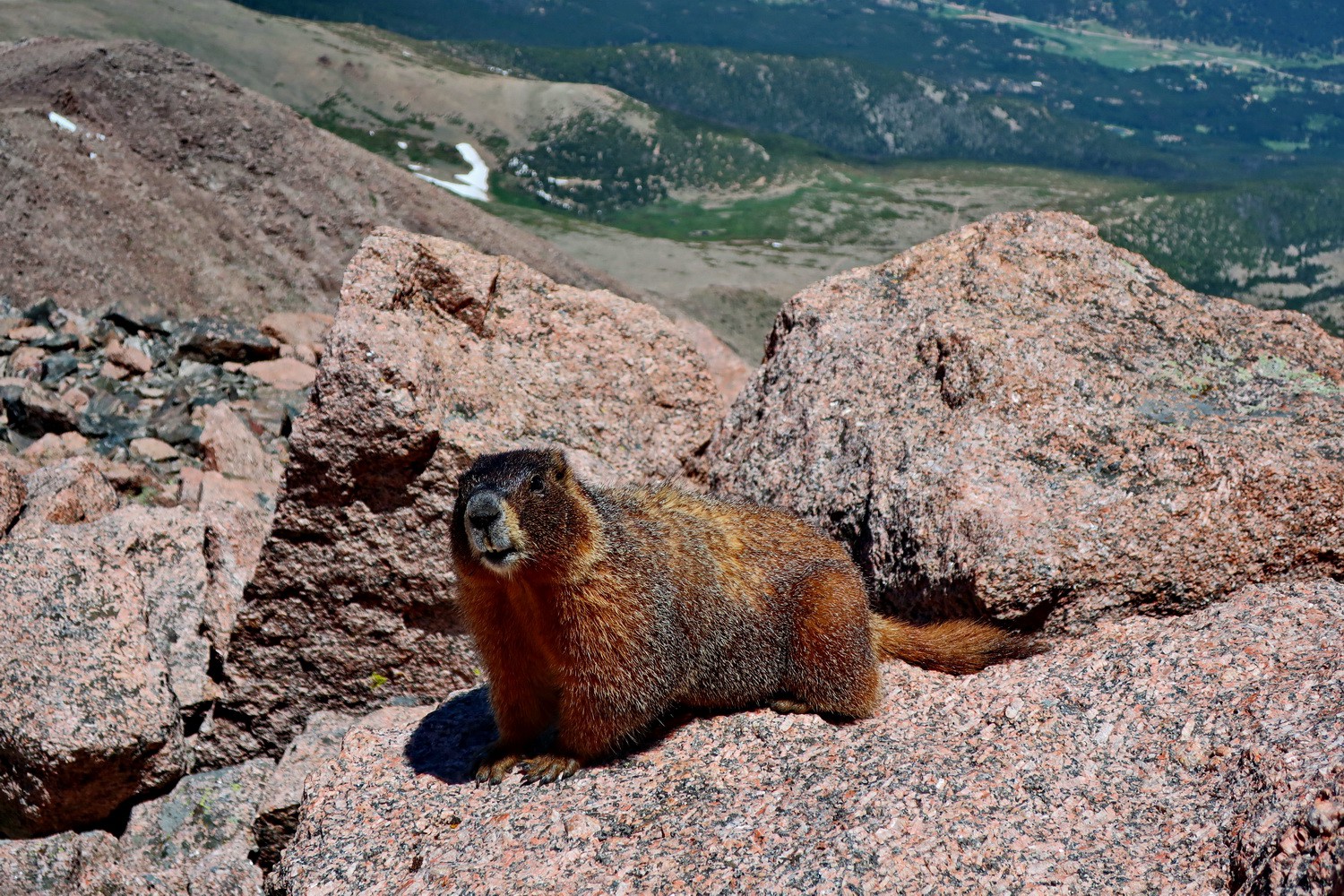
Marmot on the way to Mount Yale
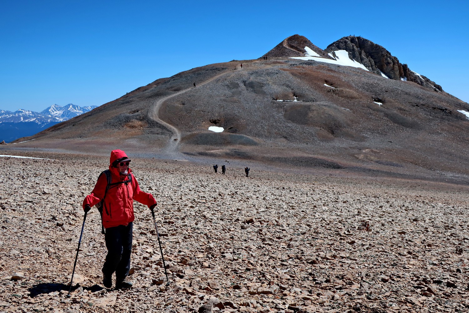
Long hike to the summit!
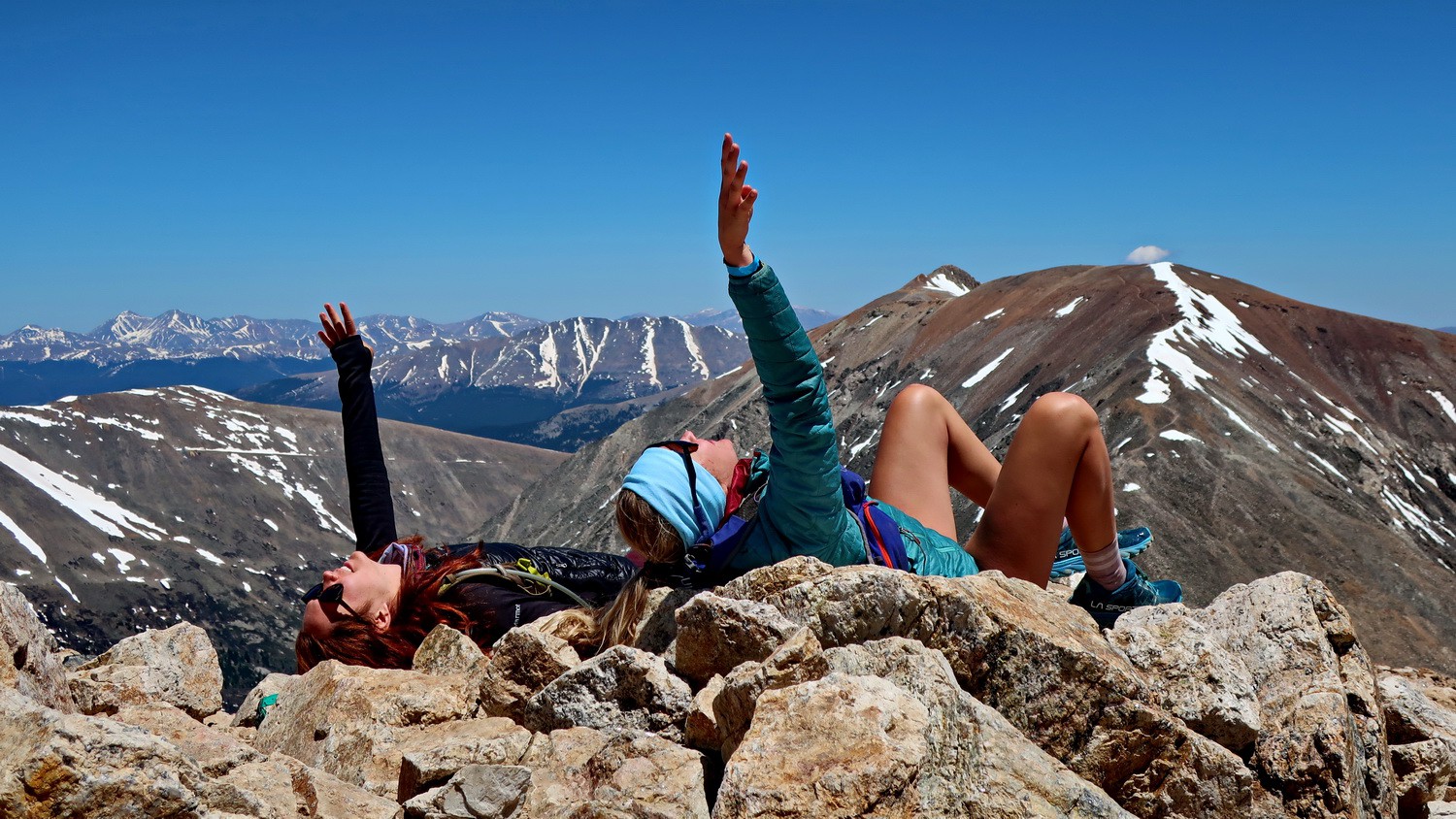
Marion on the summit ridge of Mount Yale
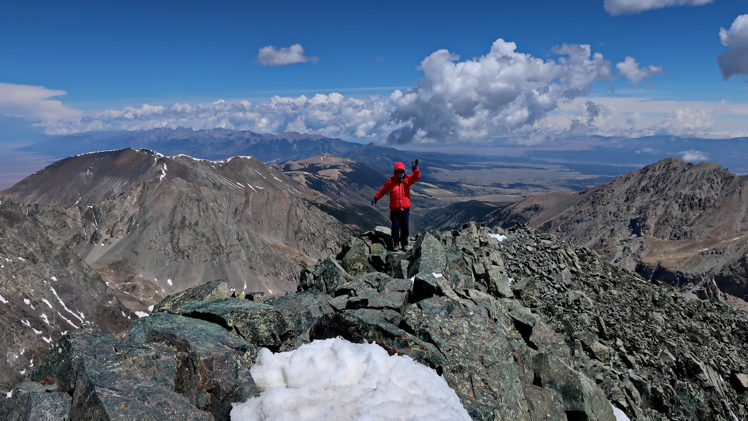
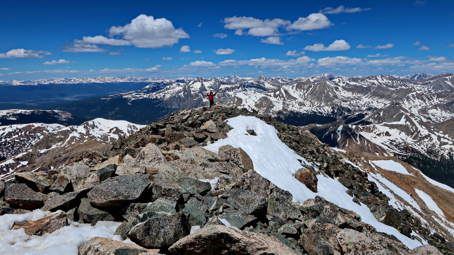
Alfred on the summit of 4323 meters high Mount Yale
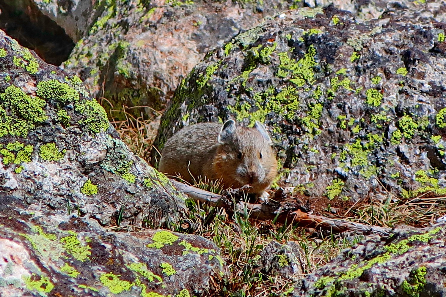
Little mouse in the rocks of Mount Yale
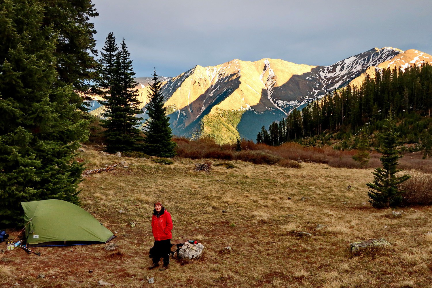
Our camp on the Black Cloud Trail to Mount Elbert
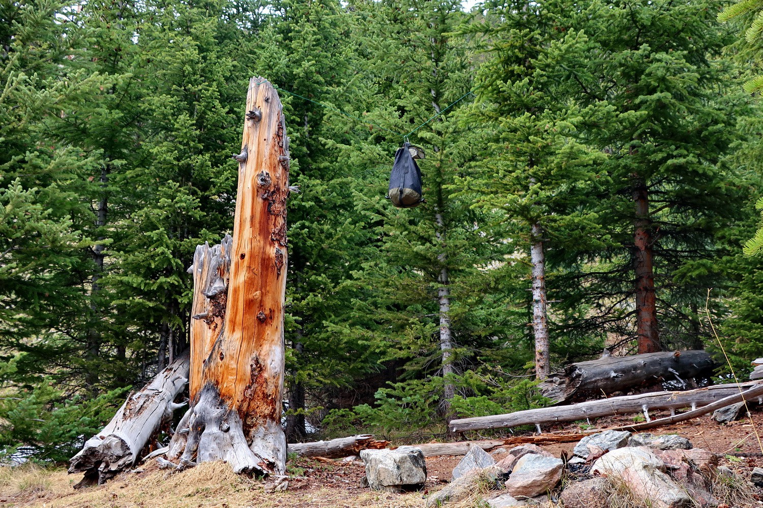
This is bear country - safe food storage mandatory (black green sack hanging on rope)
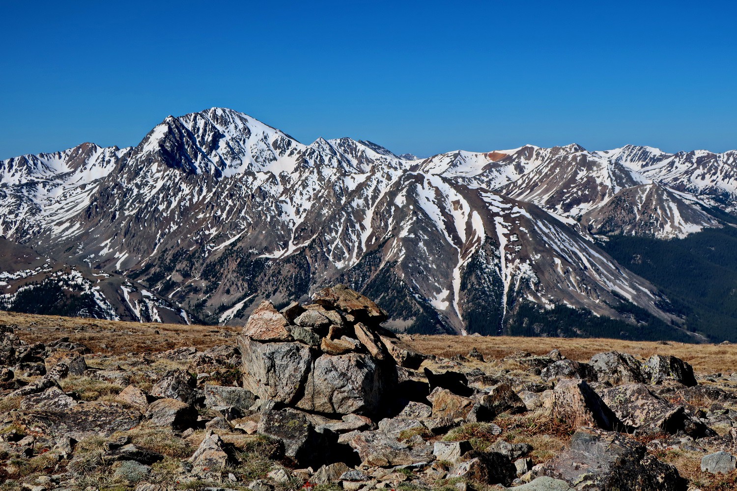
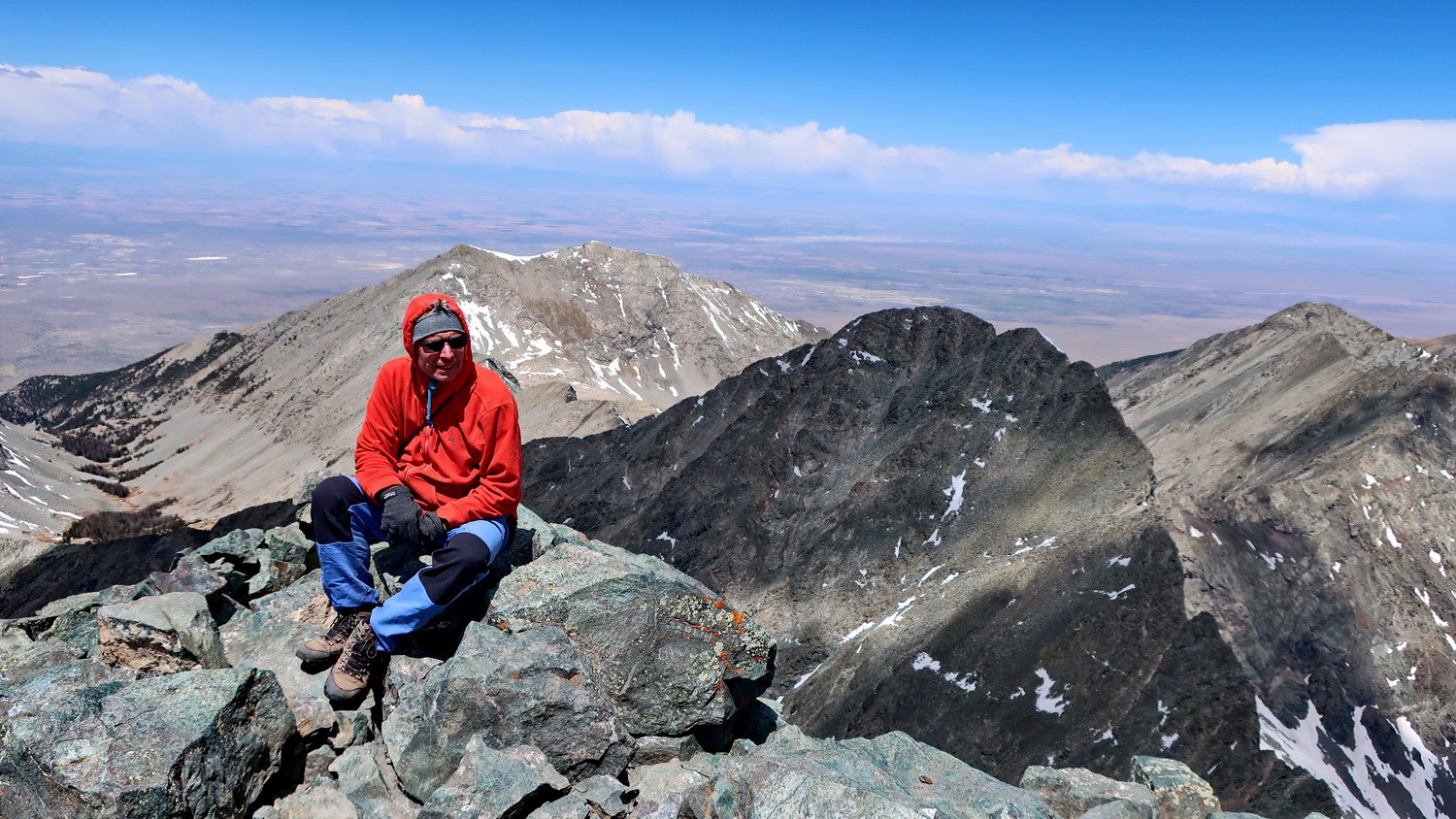
La Plata Peak seen from the saddle between Elbert South and Mount Cosgriff
Marmot on a ridge
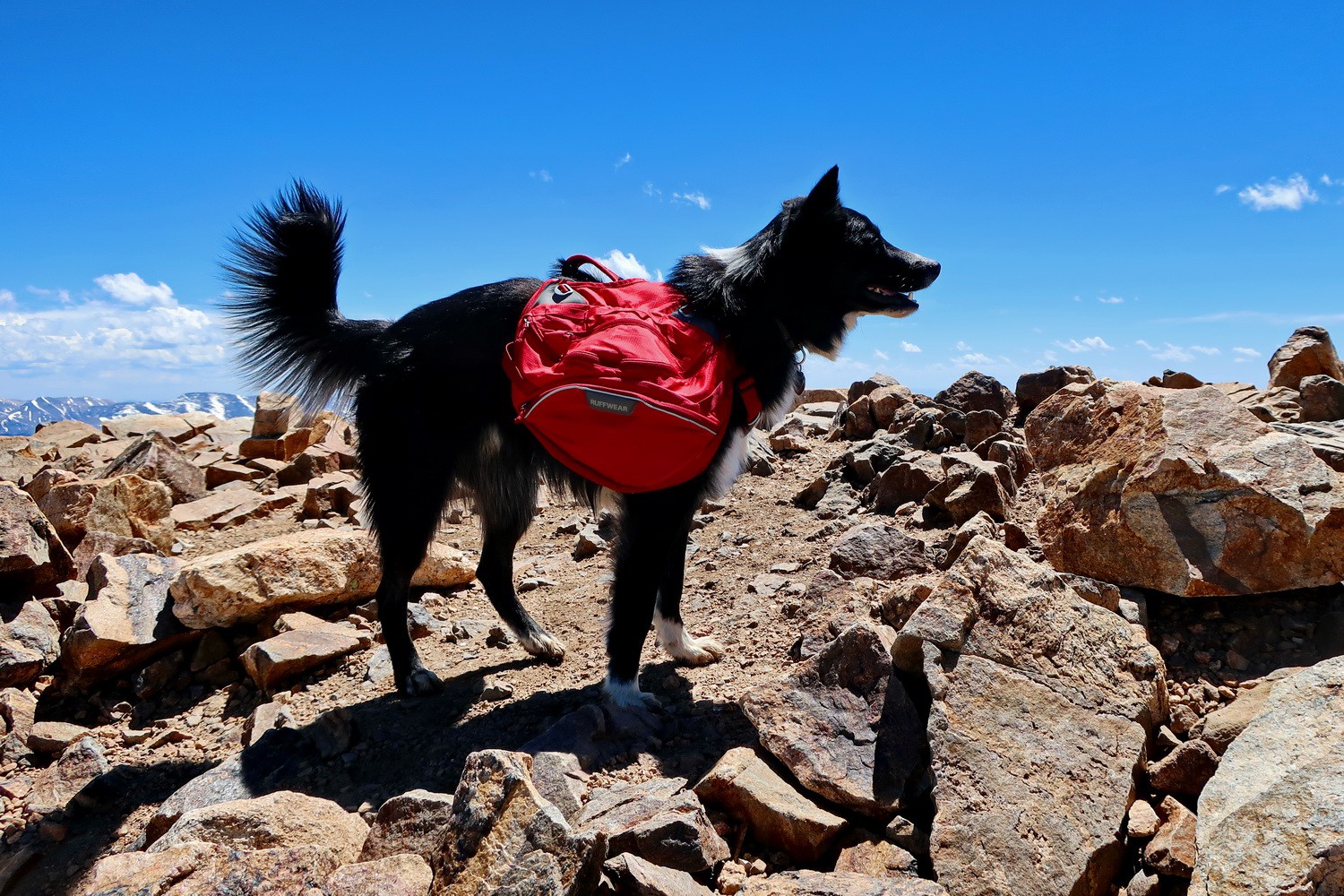
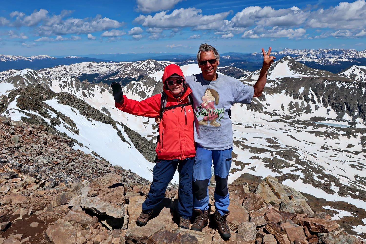
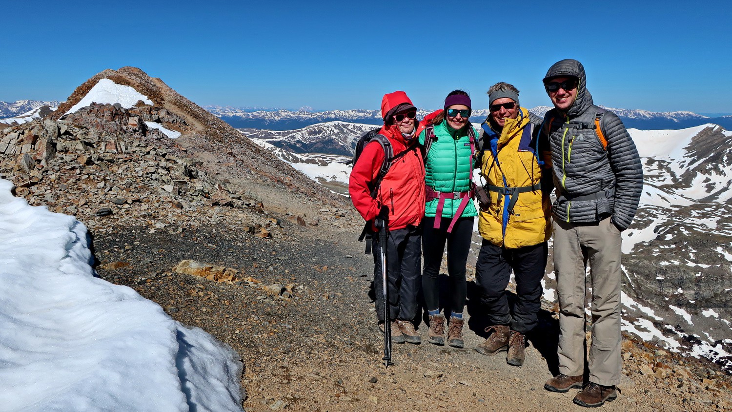
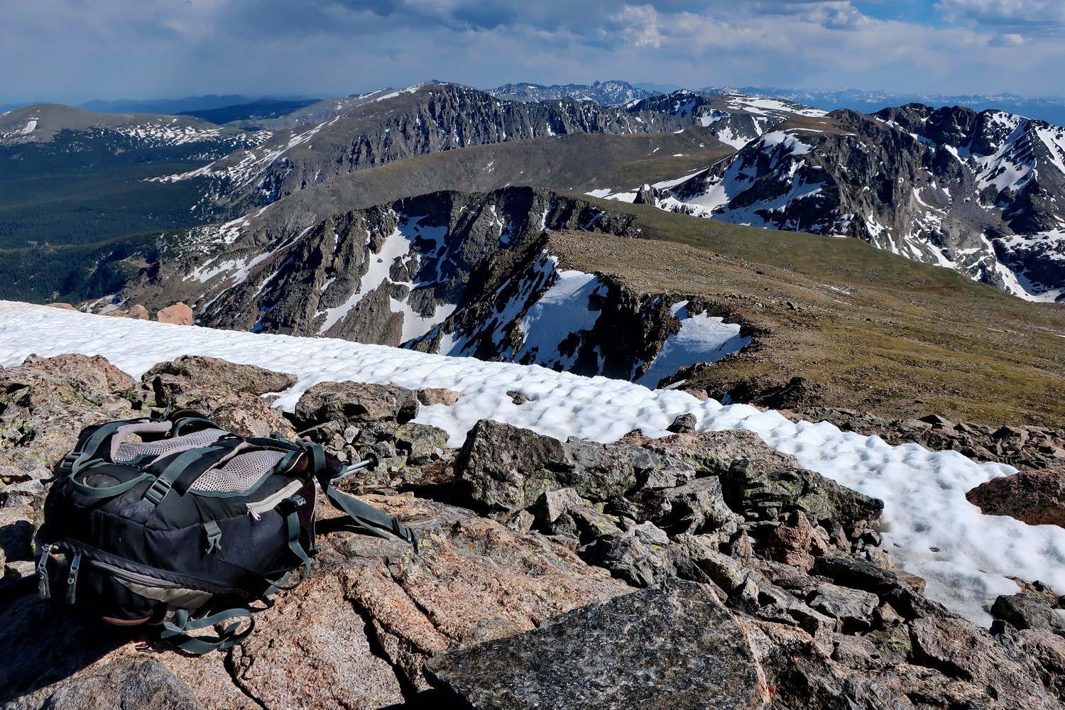
Dog on the summit of Mount Elbert which is with 4401 meters sea-level the highest point of the Rocky Mountains
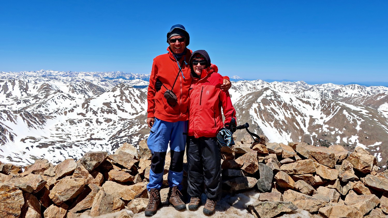
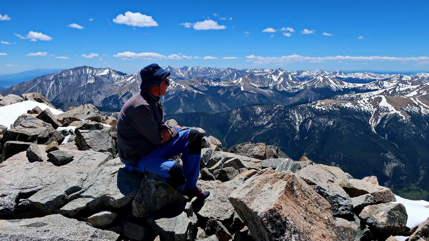
Marion and Alfred on the roof of the Rocky Mountains - western view
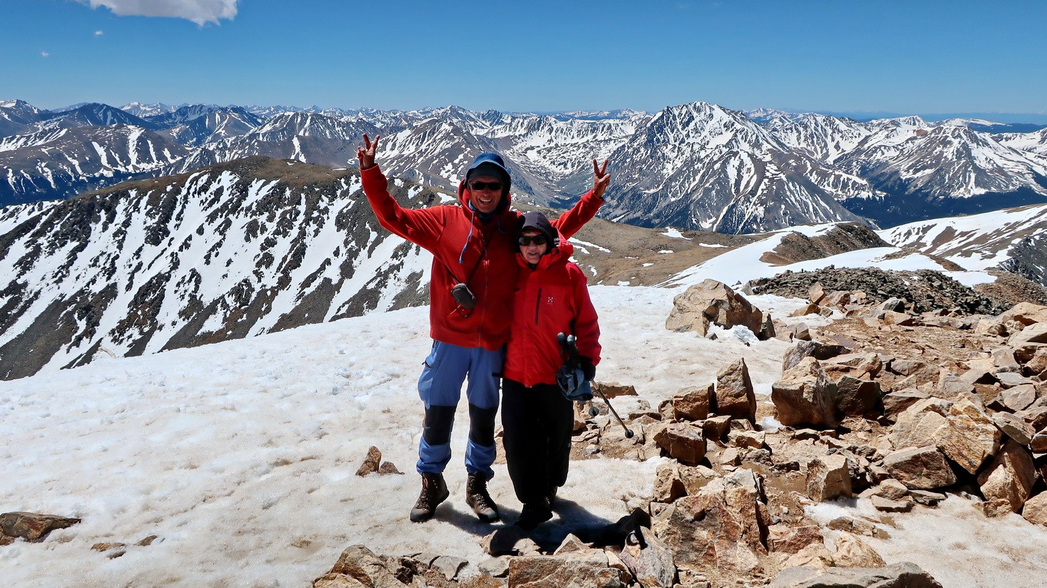
Southern view from Mount Elbert
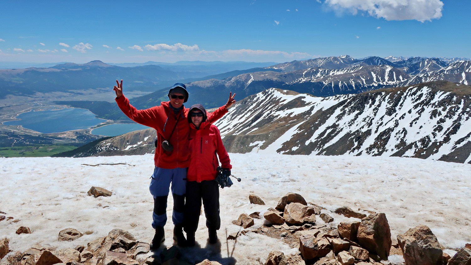
Eastern view with Twin Lakes from Mount Elbert
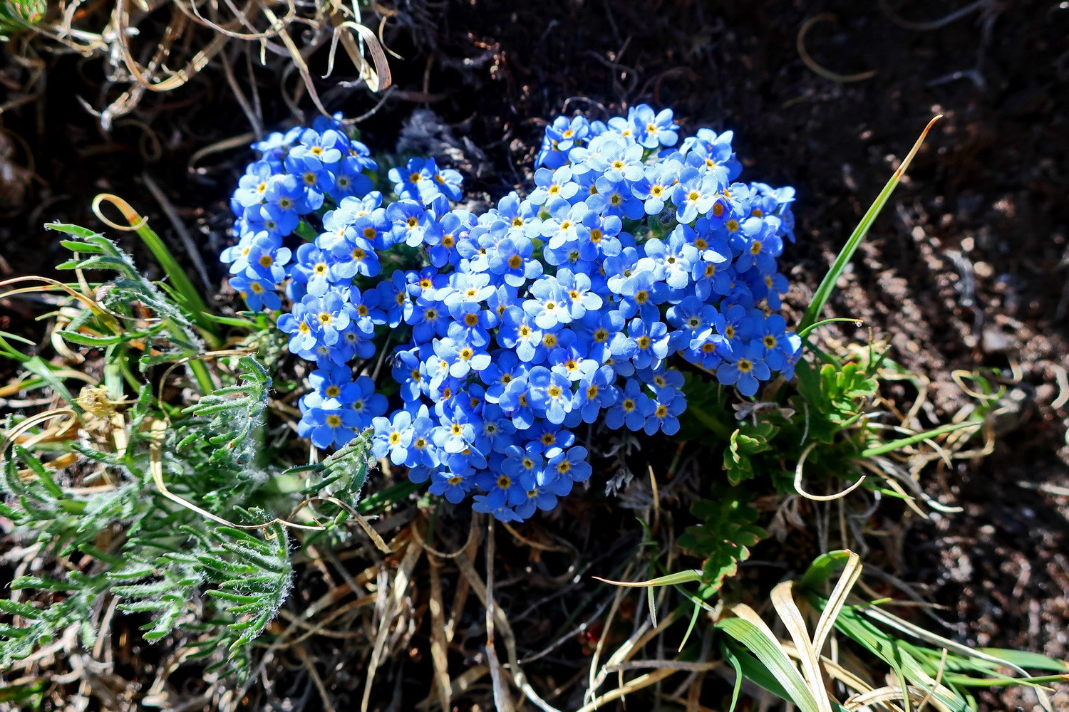
Blue flowers close to the summit of Mount Elbert
White flowers
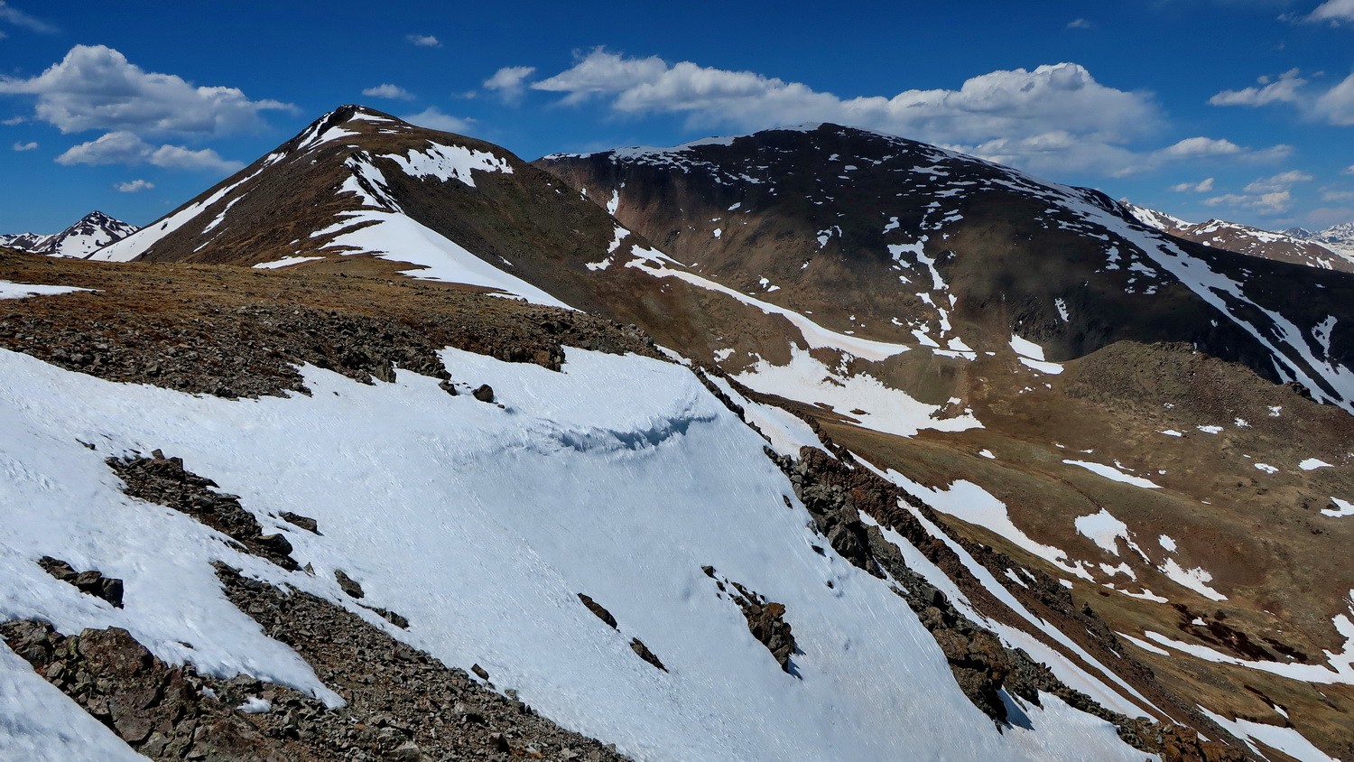
The long ridge we climbed up to Mount Elbert (right) including Elbert South (left) seen from 4135 meters high Mount Cosgriff
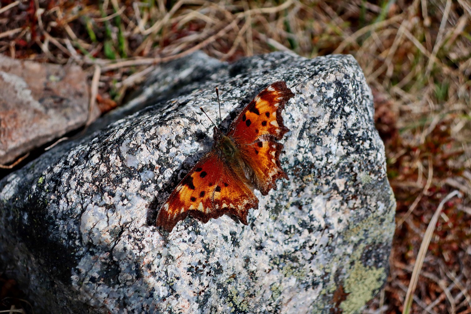
Butterfly on the Black Cloud Trailhead
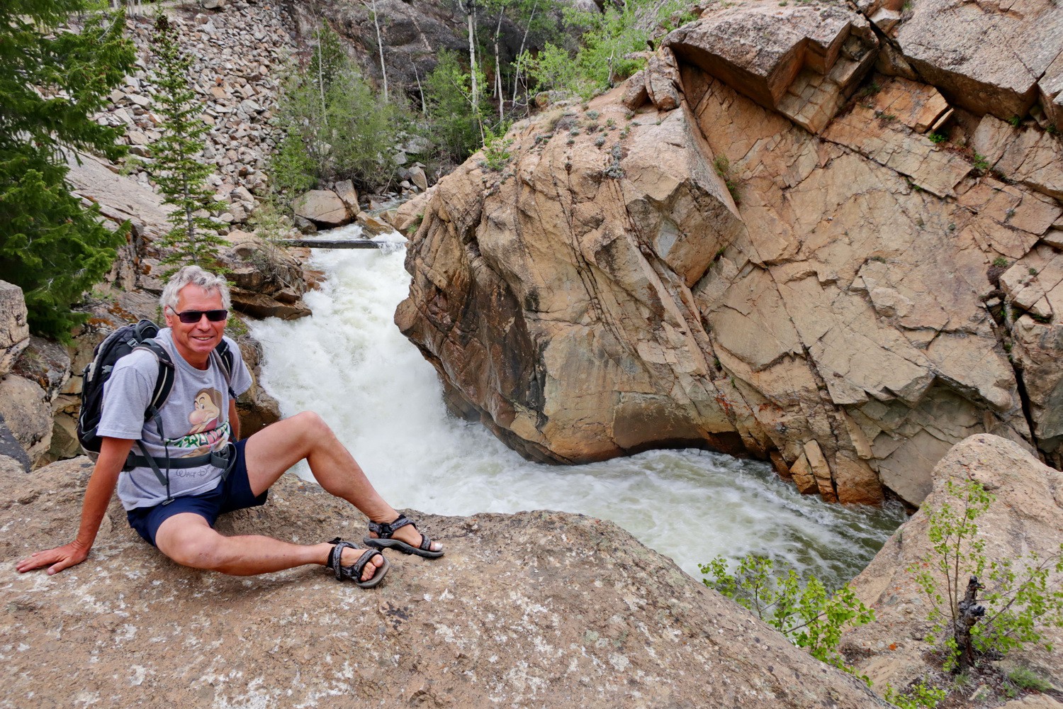
Gorge of Lake Creek
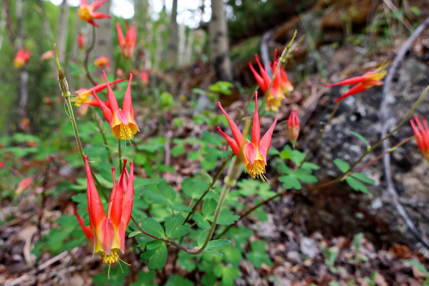
Flowers on Lake Creek
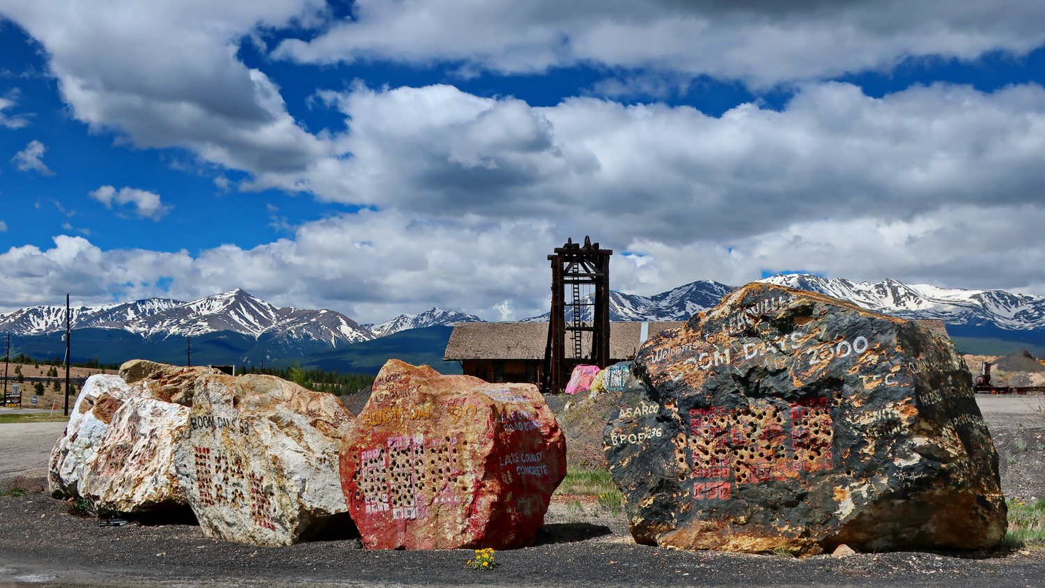
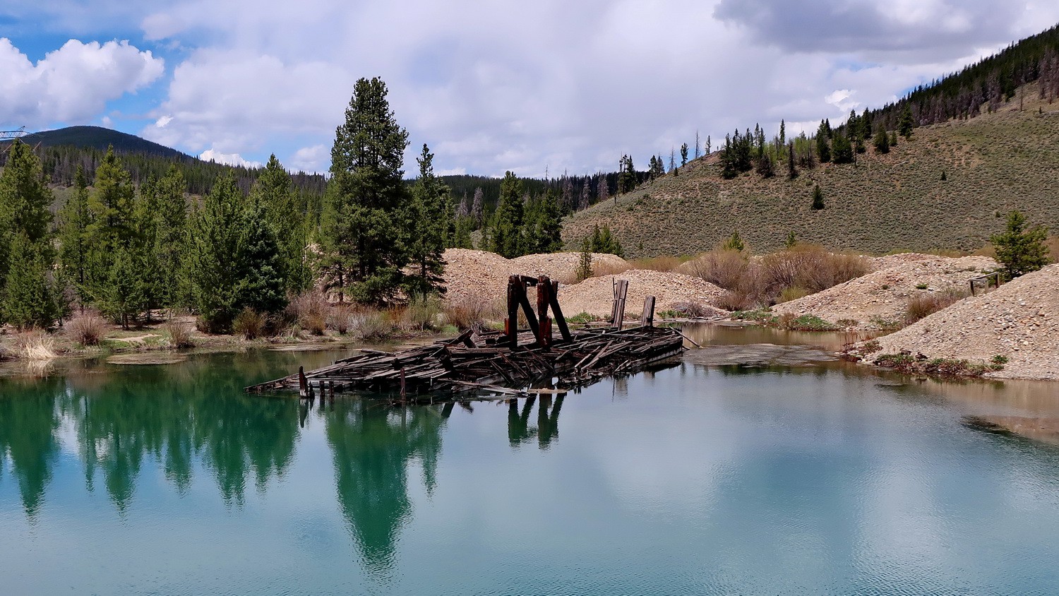
Mine south of Leadville
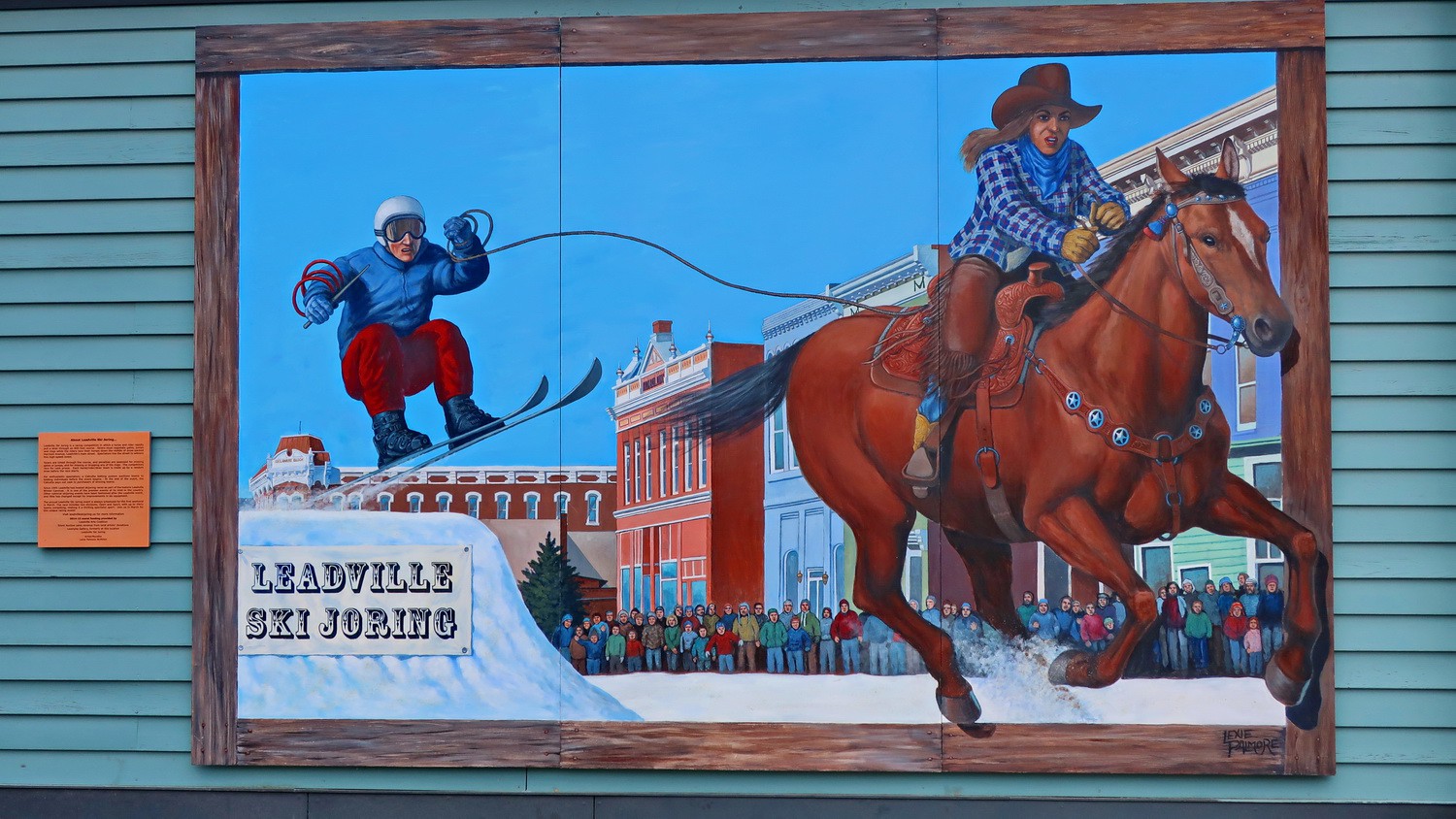
Mural in Leadville
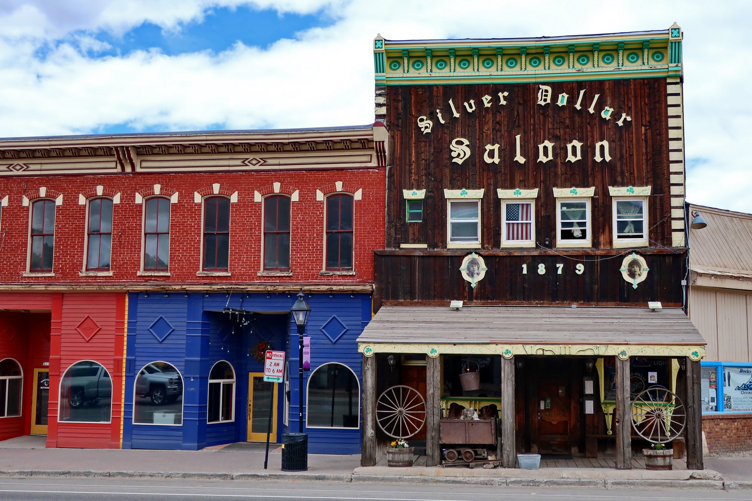
Saloon in Leadville
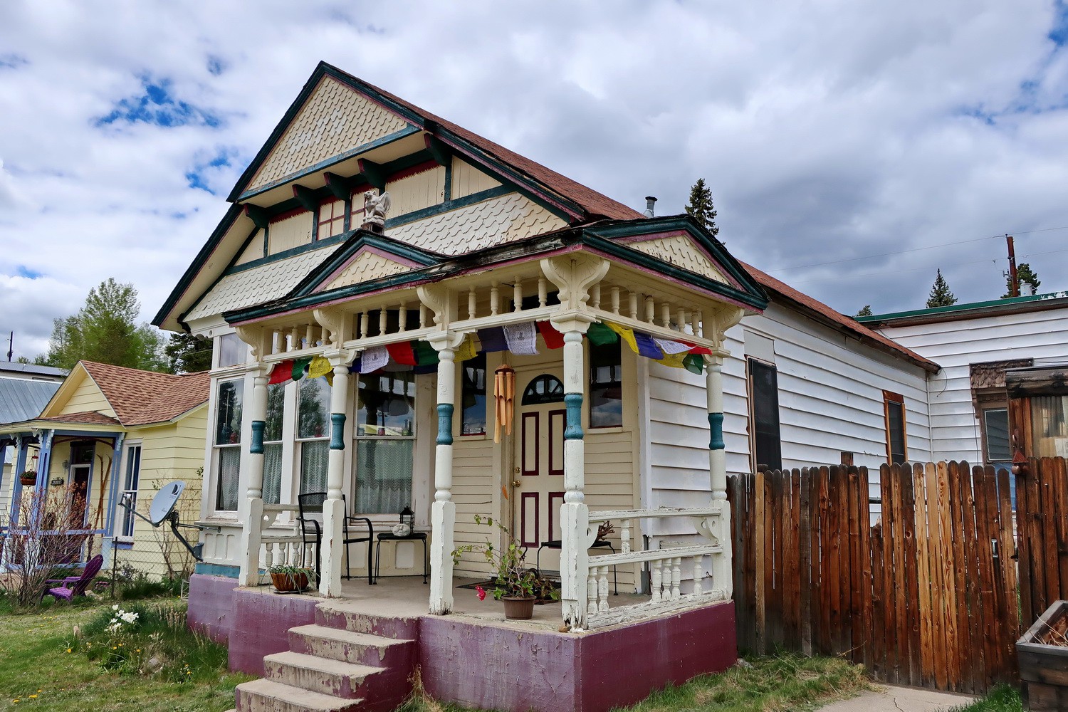
Cozy house in Leadville
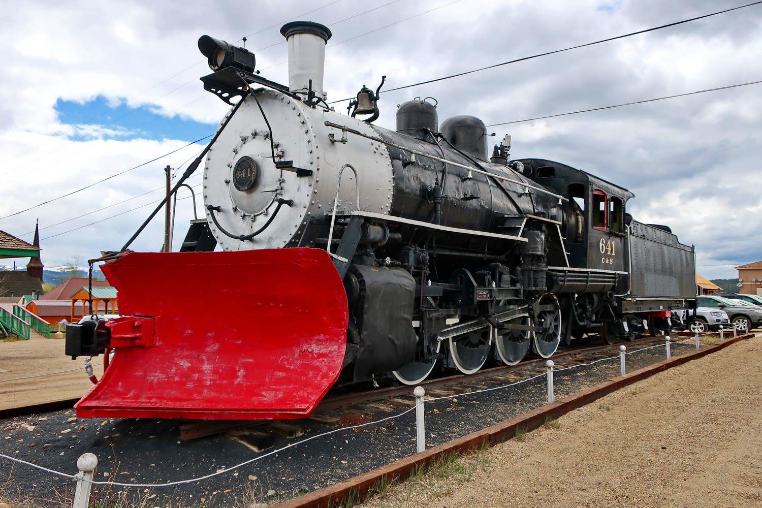
Old locomotive in Leadville, built 1906
Our campsite on Tiger Road (5 km north of Breckenridge)
Rock pilars left by the first gold miners in Colorado in 1898
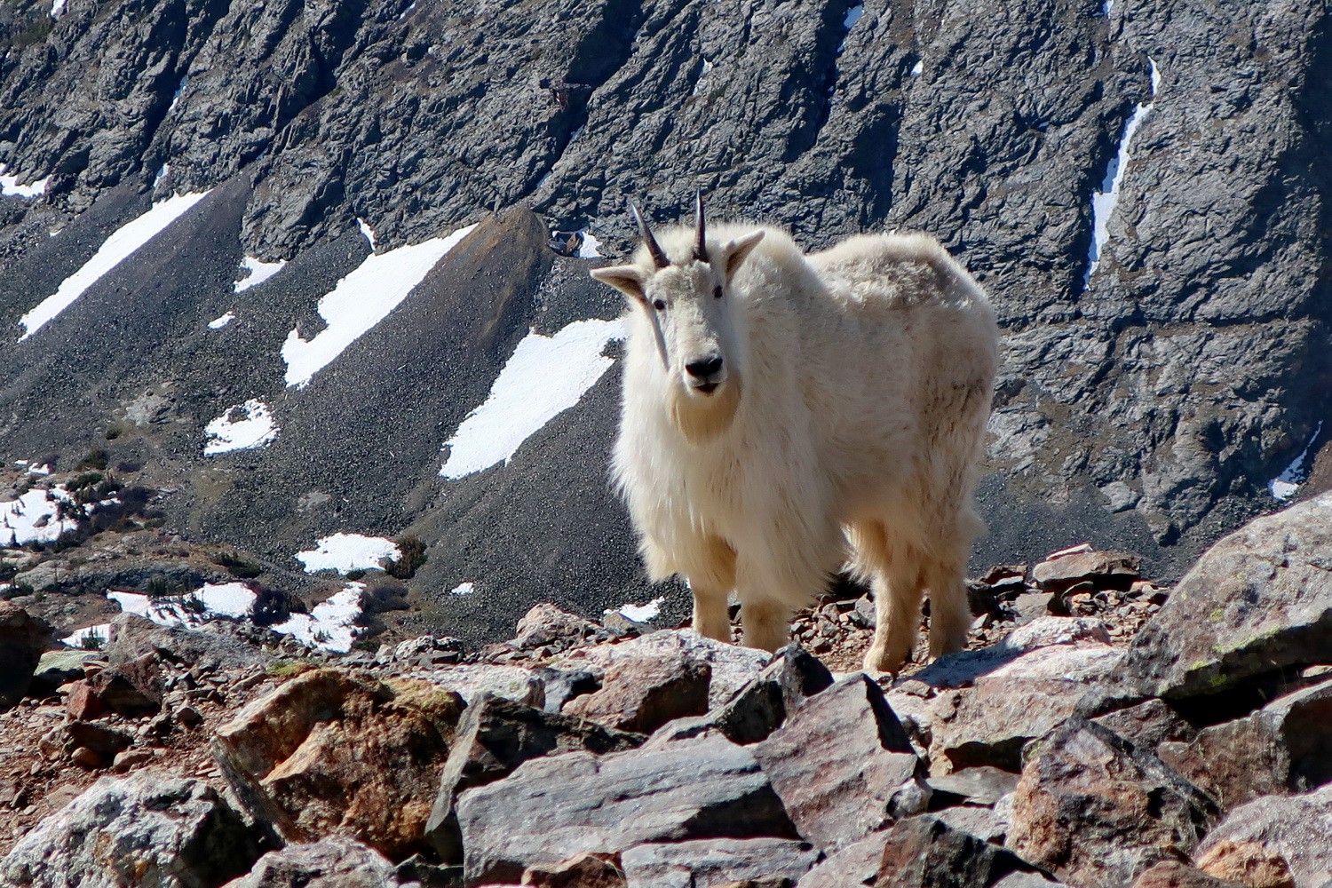
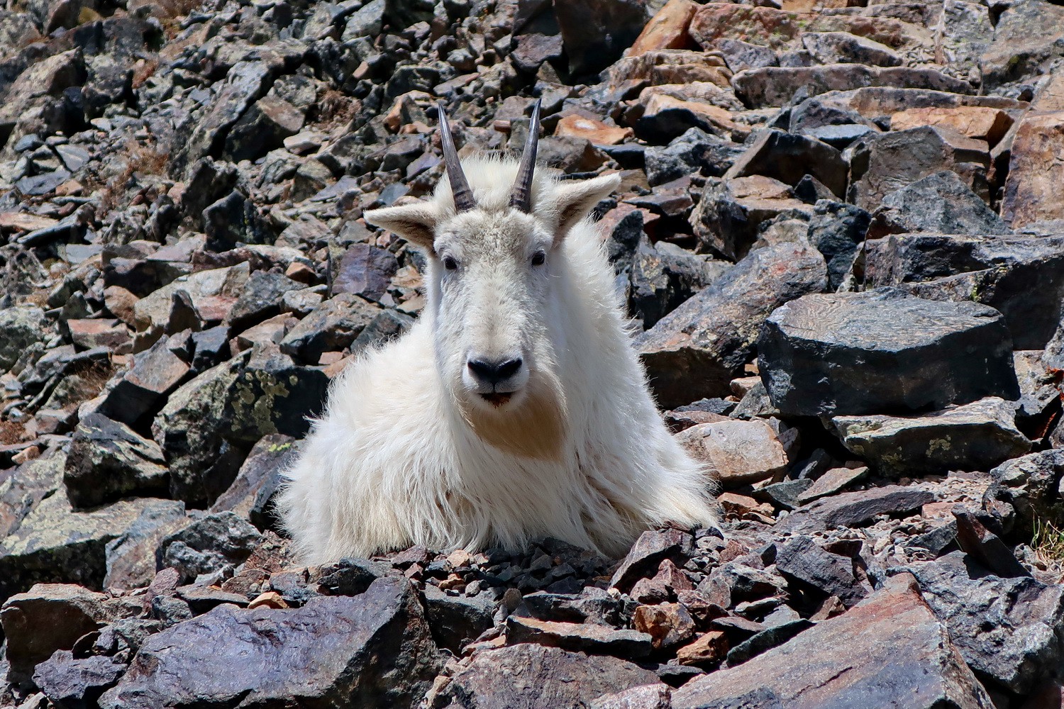
Mountain Goat on the way to Quandary Peak
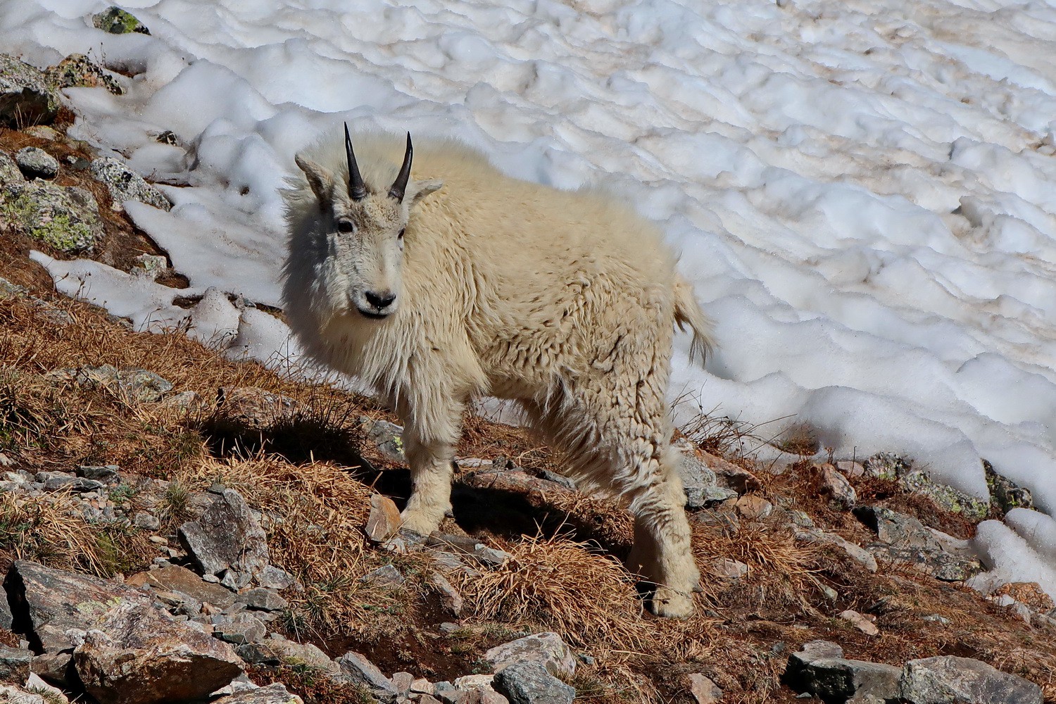
Little Mountain Goat
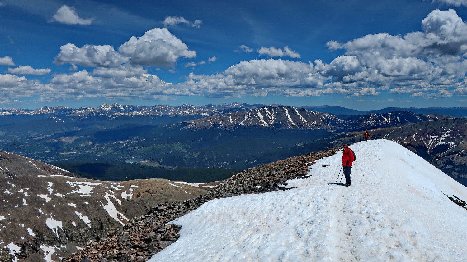
Summit ridge of Quandary Peak
Marion and Alfred on top of 4348 meters high Quandary Peak
Again Mountain Goats on the descent
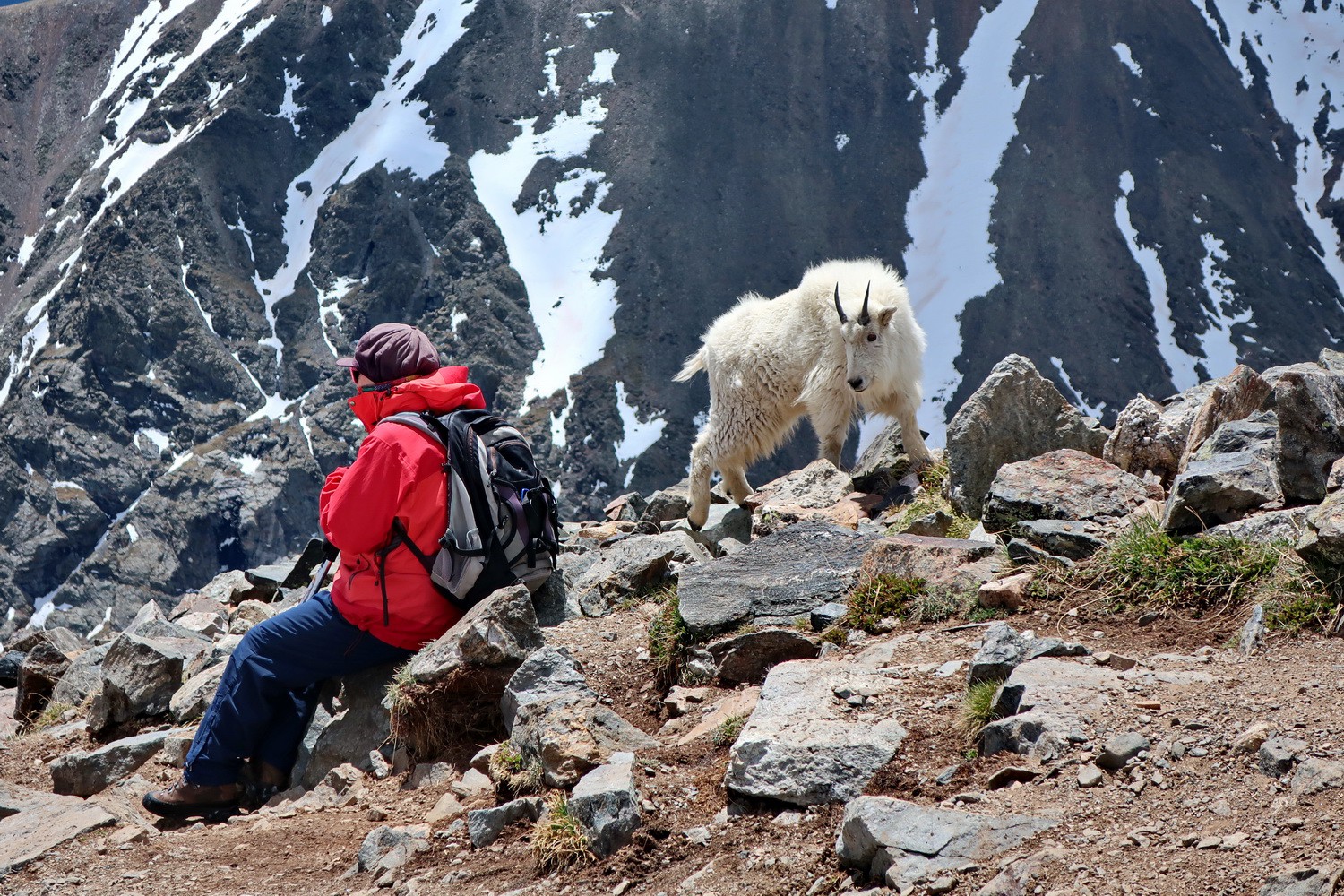
Very bold these Mountain Goats!
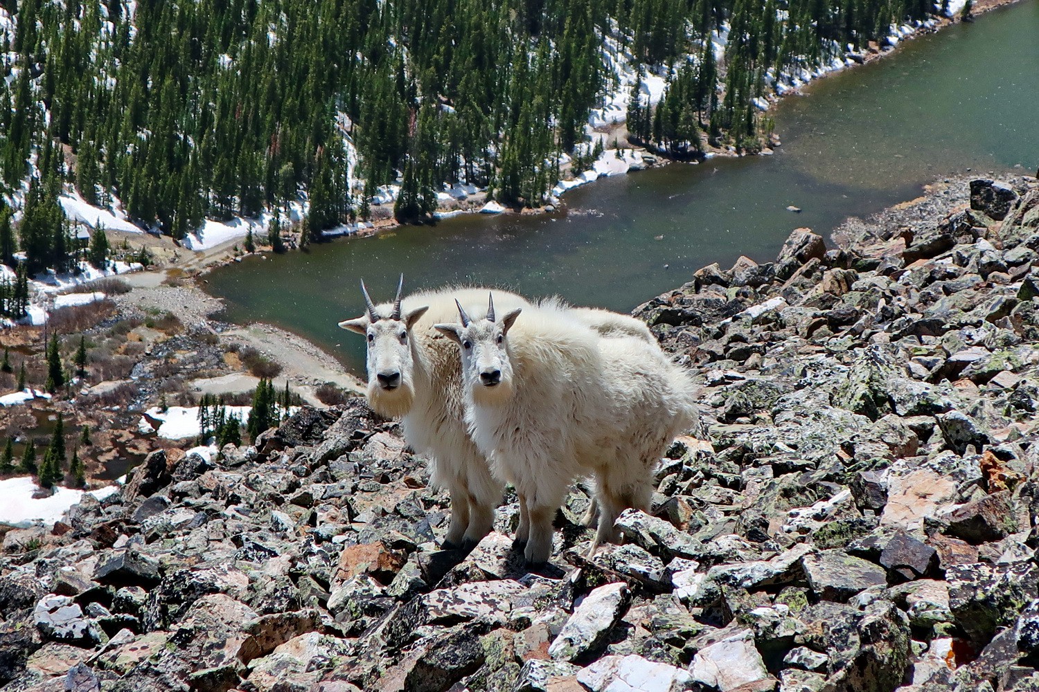
Mountain Goats with Blue Lake
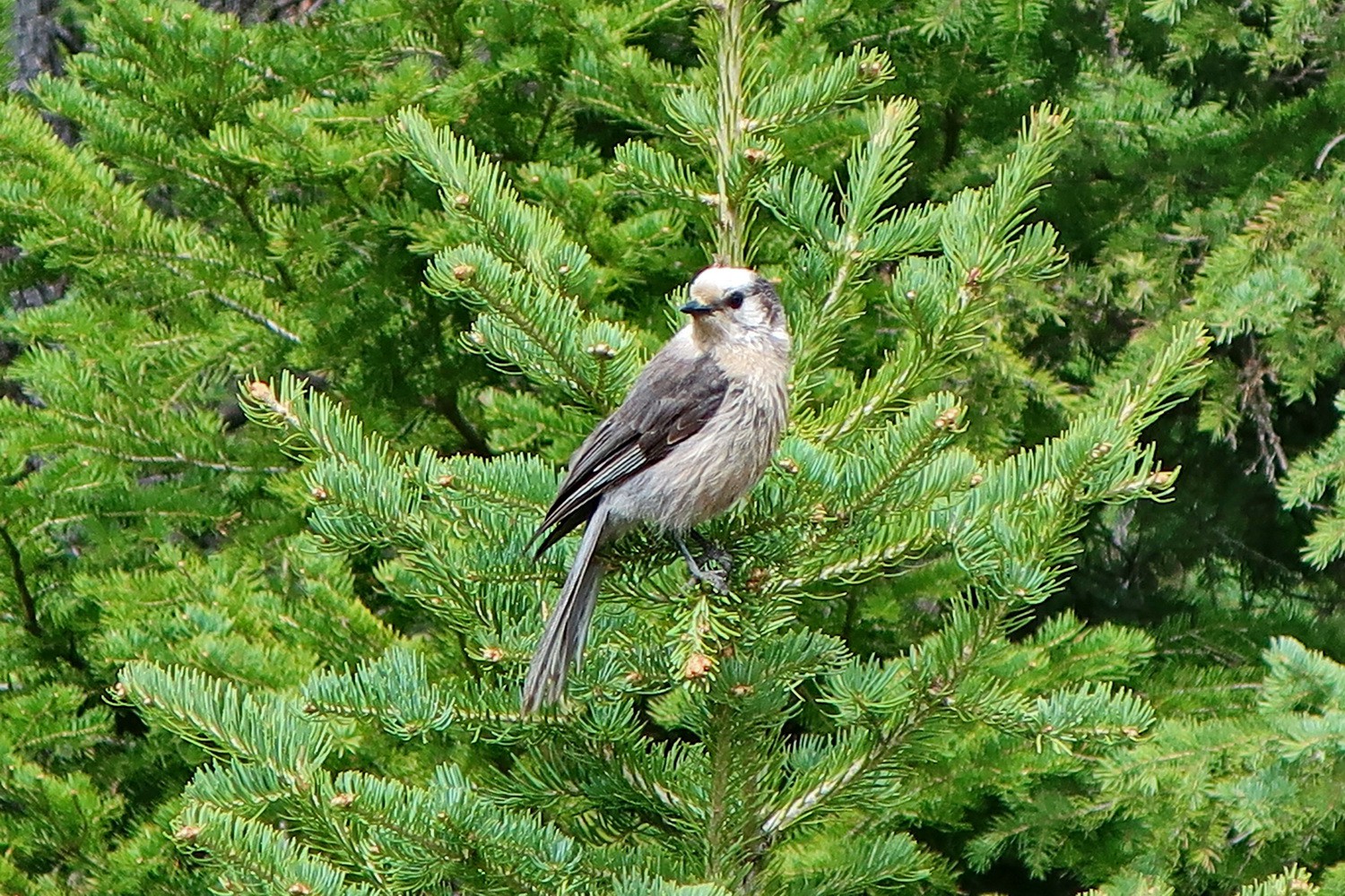
Bird in the forest of Quandary Peak
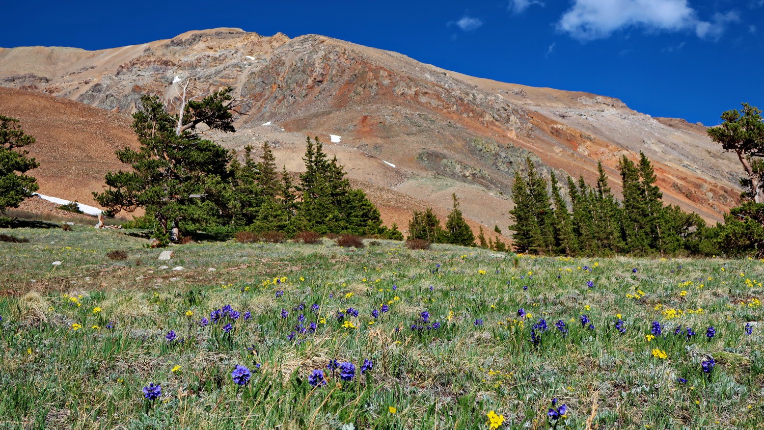
Flowers with the red western slopes of Mount Bross
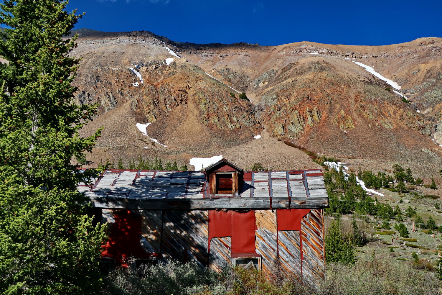
Abandoned house opposite of our campsite on Mount Lincoln
Marion on top of 4323 meters high Mount Bross
Our friends from Alaska with the summit of Mount Lincoln on the left
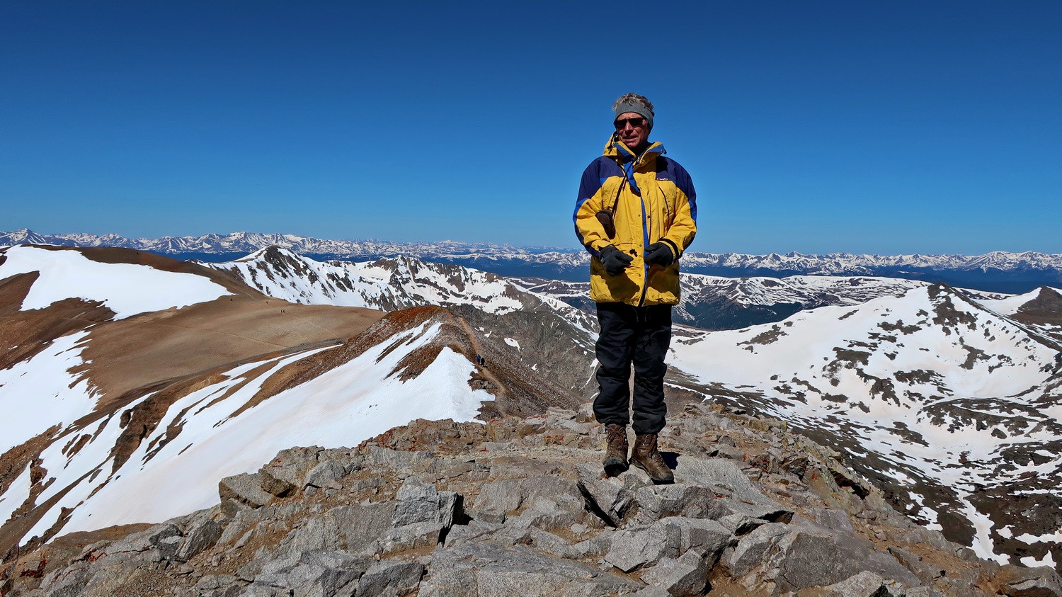
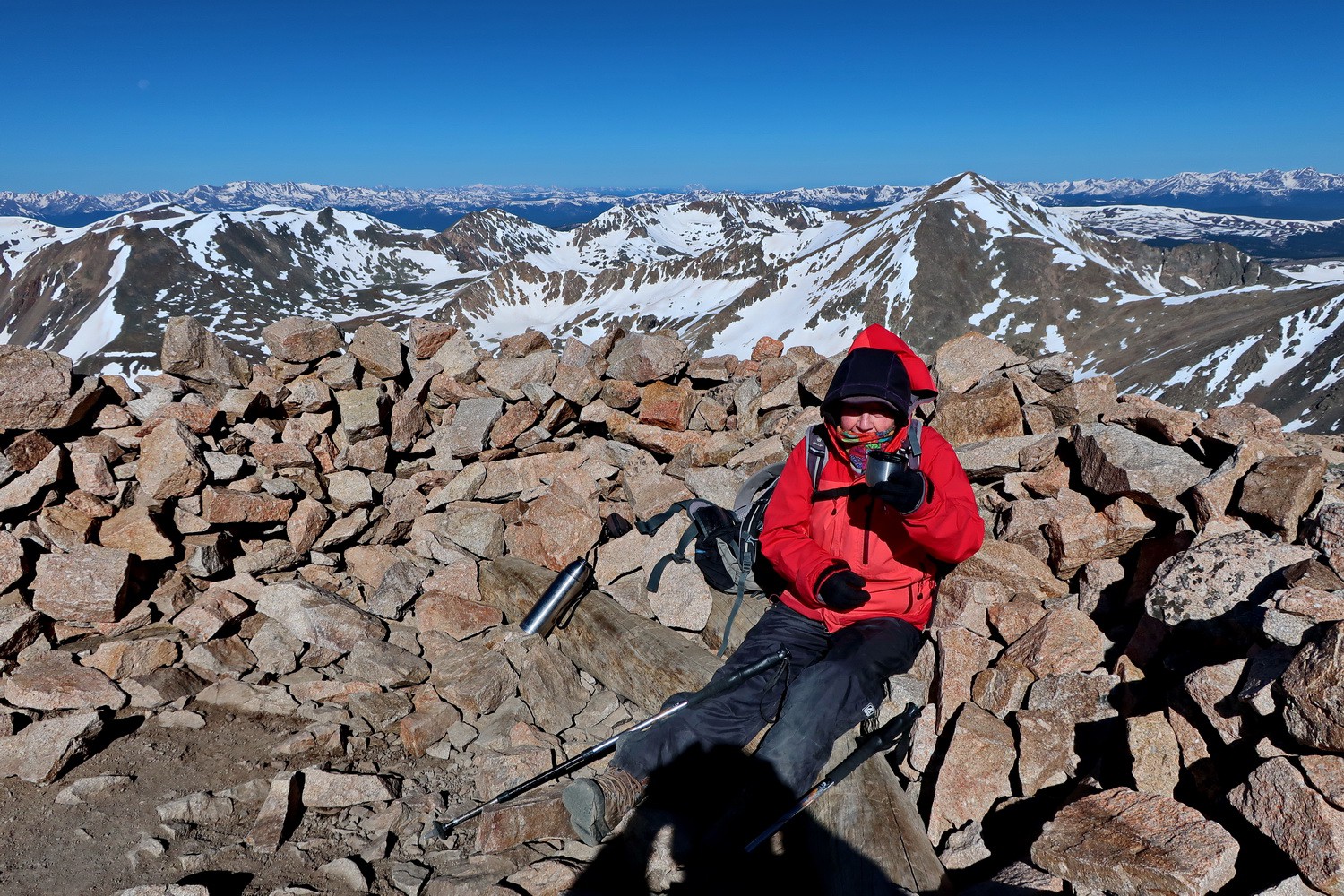
Alfred on top of 4354 meters high Mount Lincoln
Mount Lincoln seen from the ascent to Mount Cameron
Two girls on the summit of 4316 meters high Mount Democrat with Moun Cameron on the right
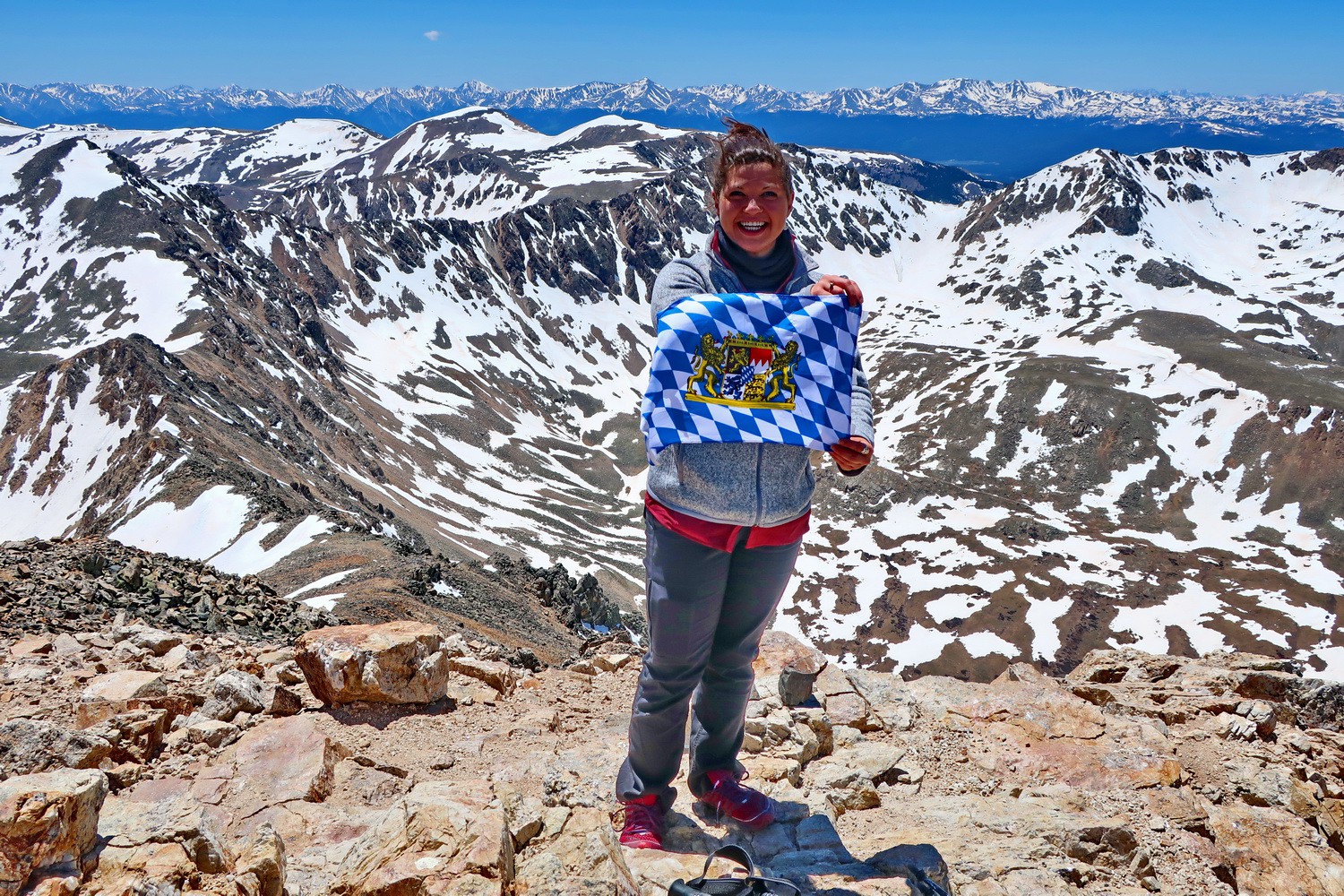
Girl from Colorado with Bavarian flag on Mount Democrat
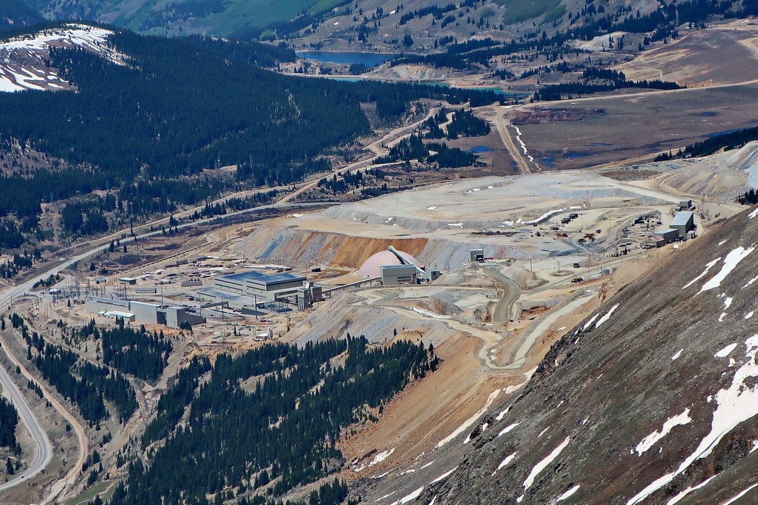
Climax Molydenum Mine close to Leadville seen from Mount Democrat
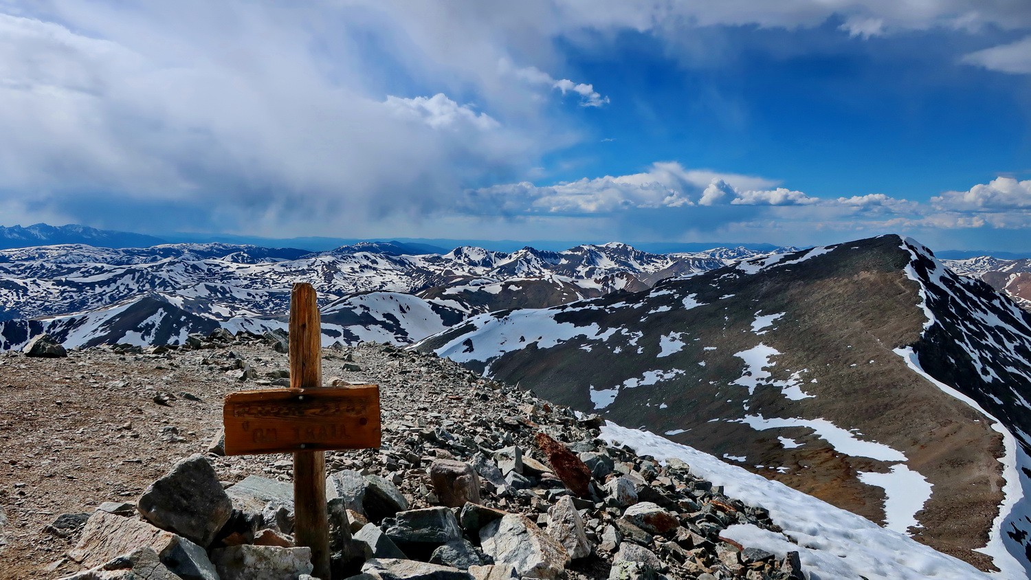
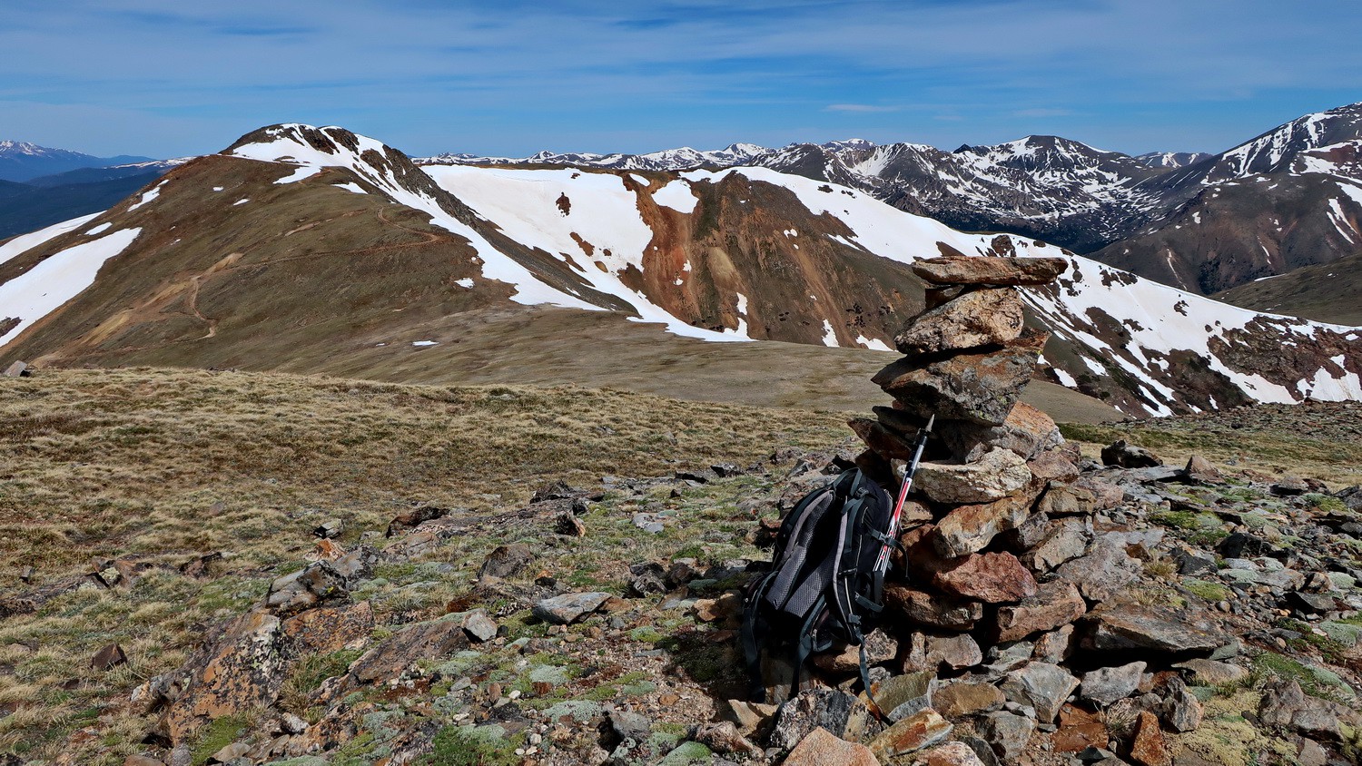
Summit of 4352 meters high Grays Peak with Torreys Peak on the right
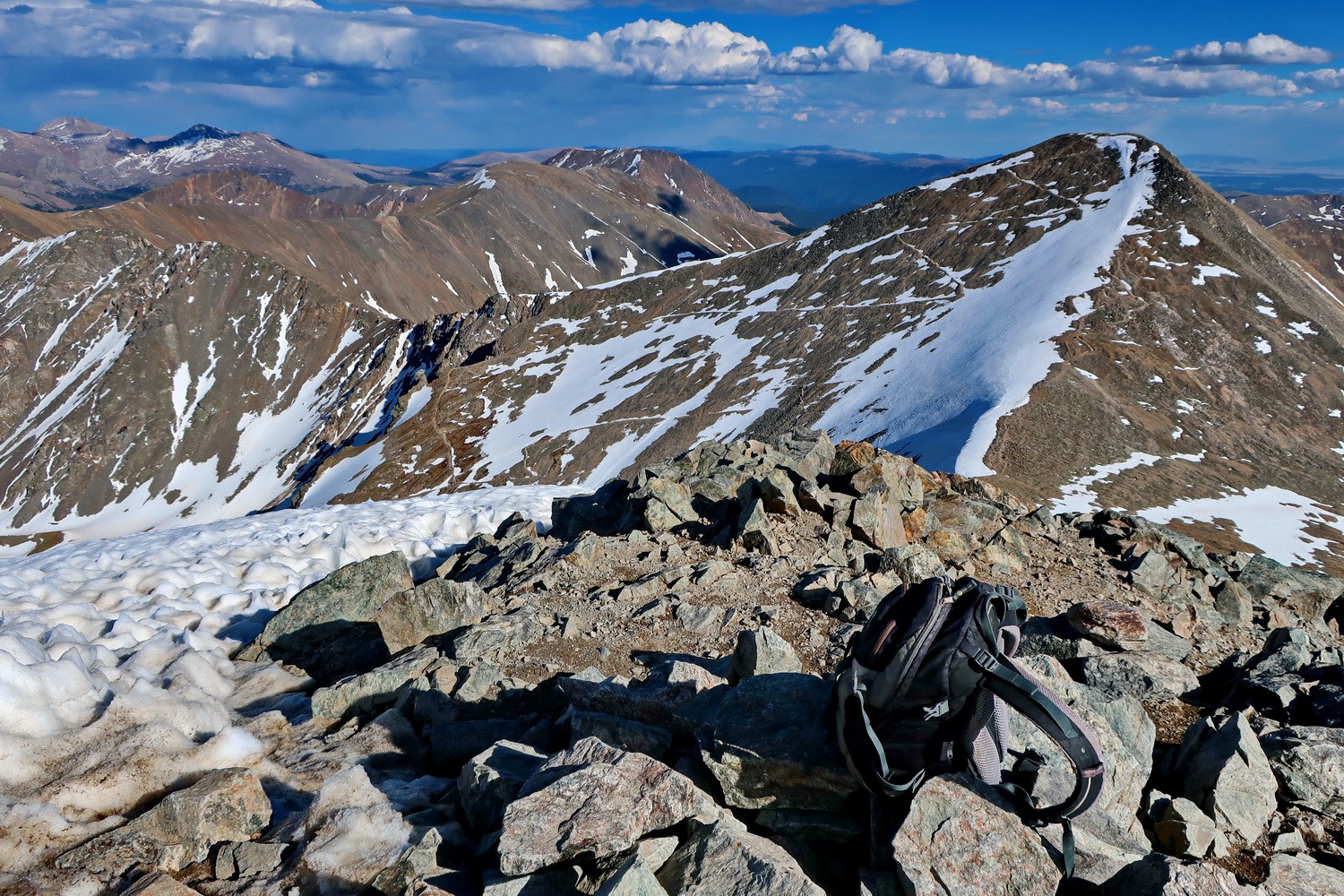
Summit of 4351 meters high Torreys Peak with Greys Peak on the the right. Both are the tallest mountains of the Front Range.
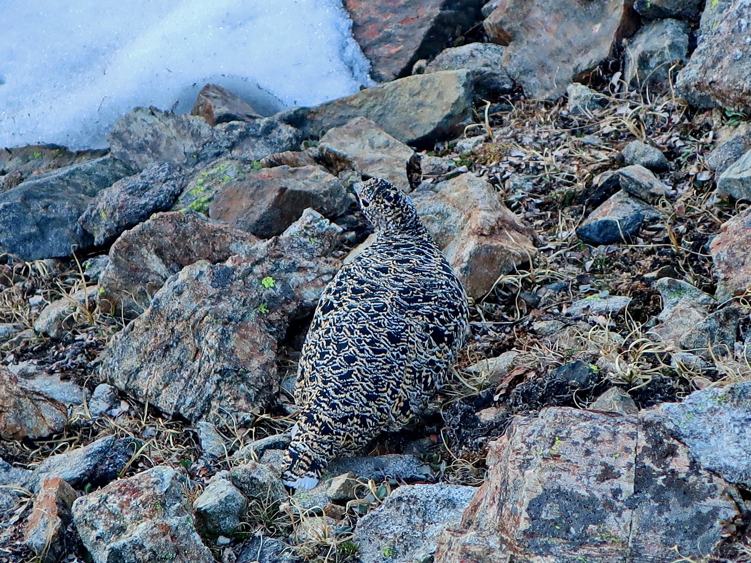
Female Grouse Lek in the inner valley Chihuahua Gulch
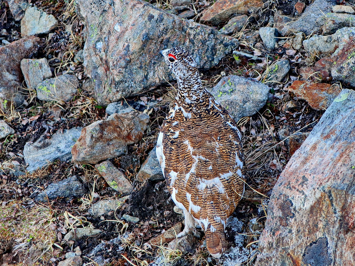
Male Grouse Lek
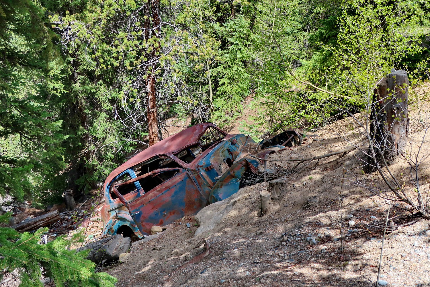
Abandoned car close to the gate Peru Creek
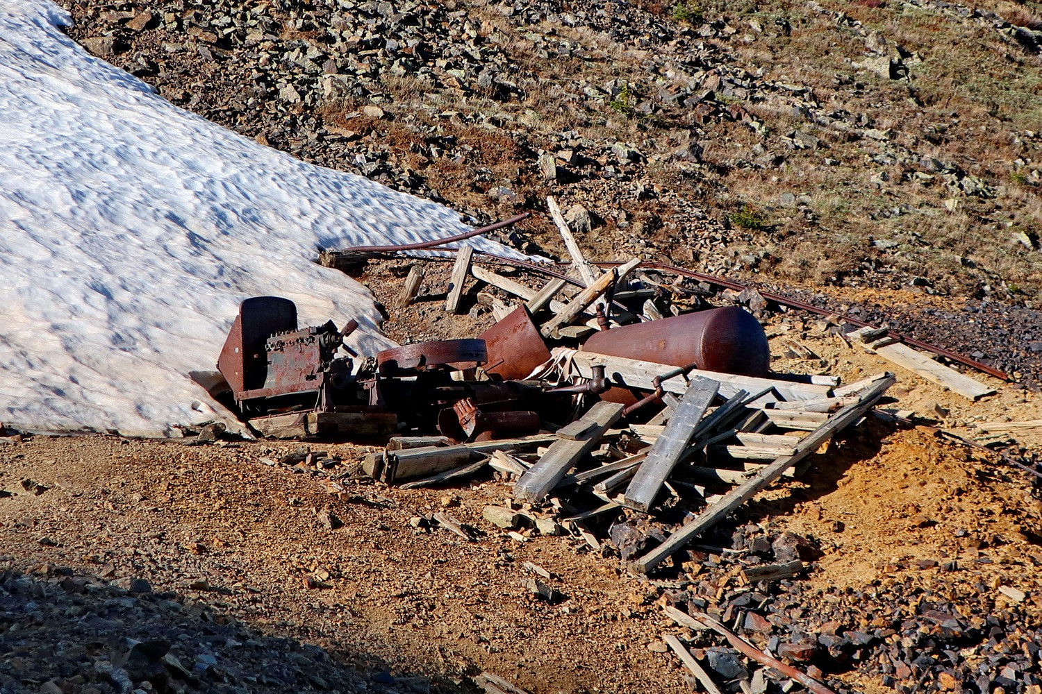
Abandoned mine on the northern shore of Santa Fe Peak
Summit of 4003 meters high Sullivan Mountain with Santa Fe Peak on the left (4019 meters sea-level)

View from Sullivan Mountain to Geneva Peak on the left (4044 meters sea-level)
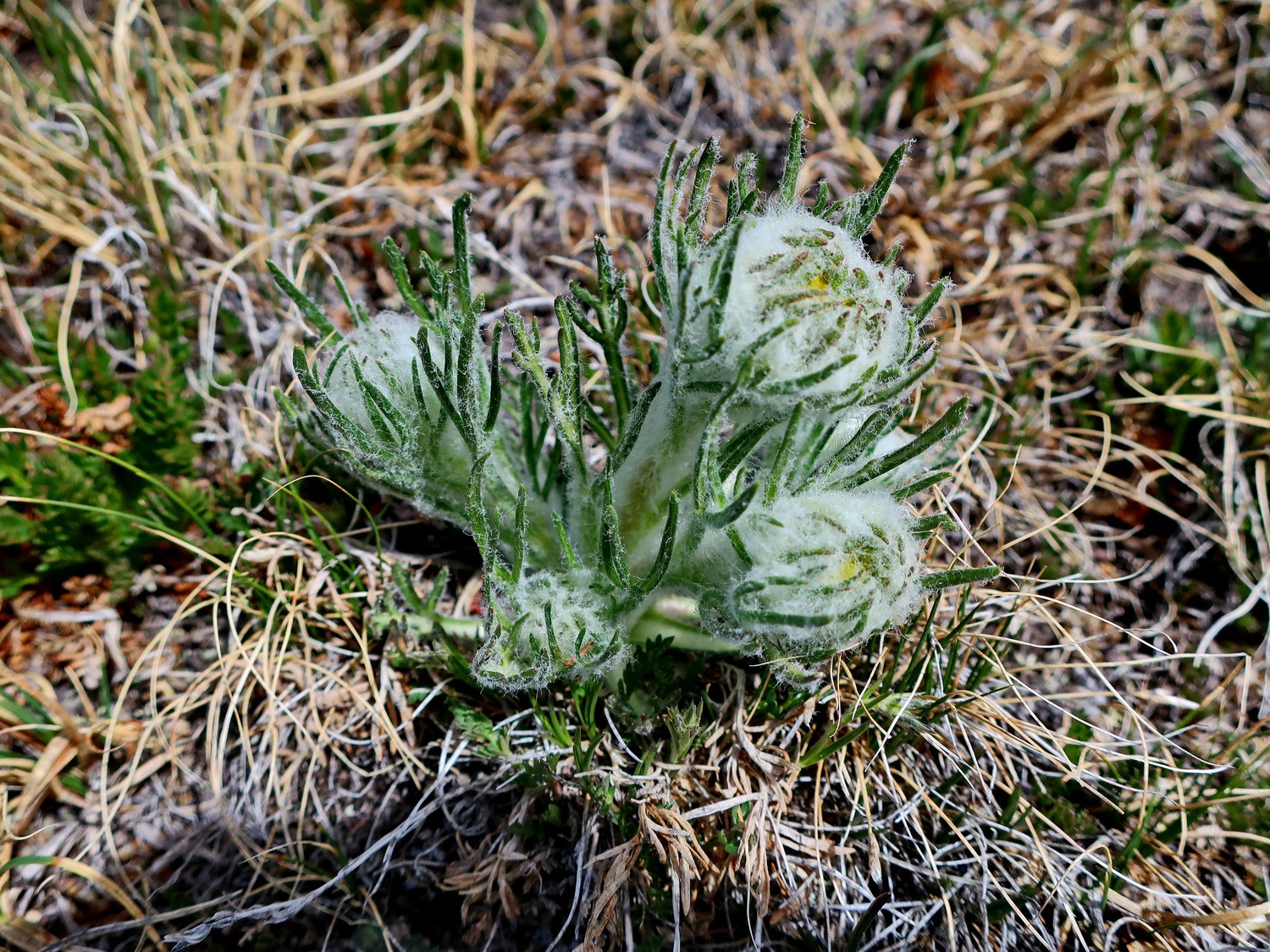
Flowers between Sullivan Mountain and Geneva Peak
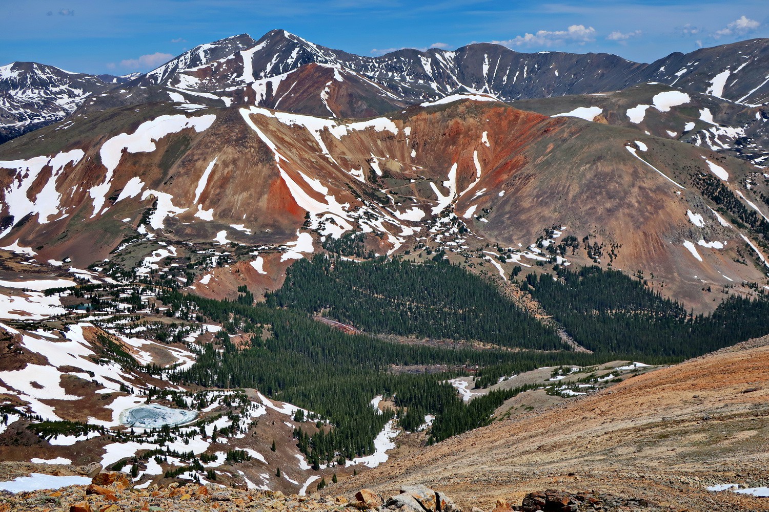
Red slopes with Torreys and Greys Peaks seen from 4028 meters high Landslide Peak
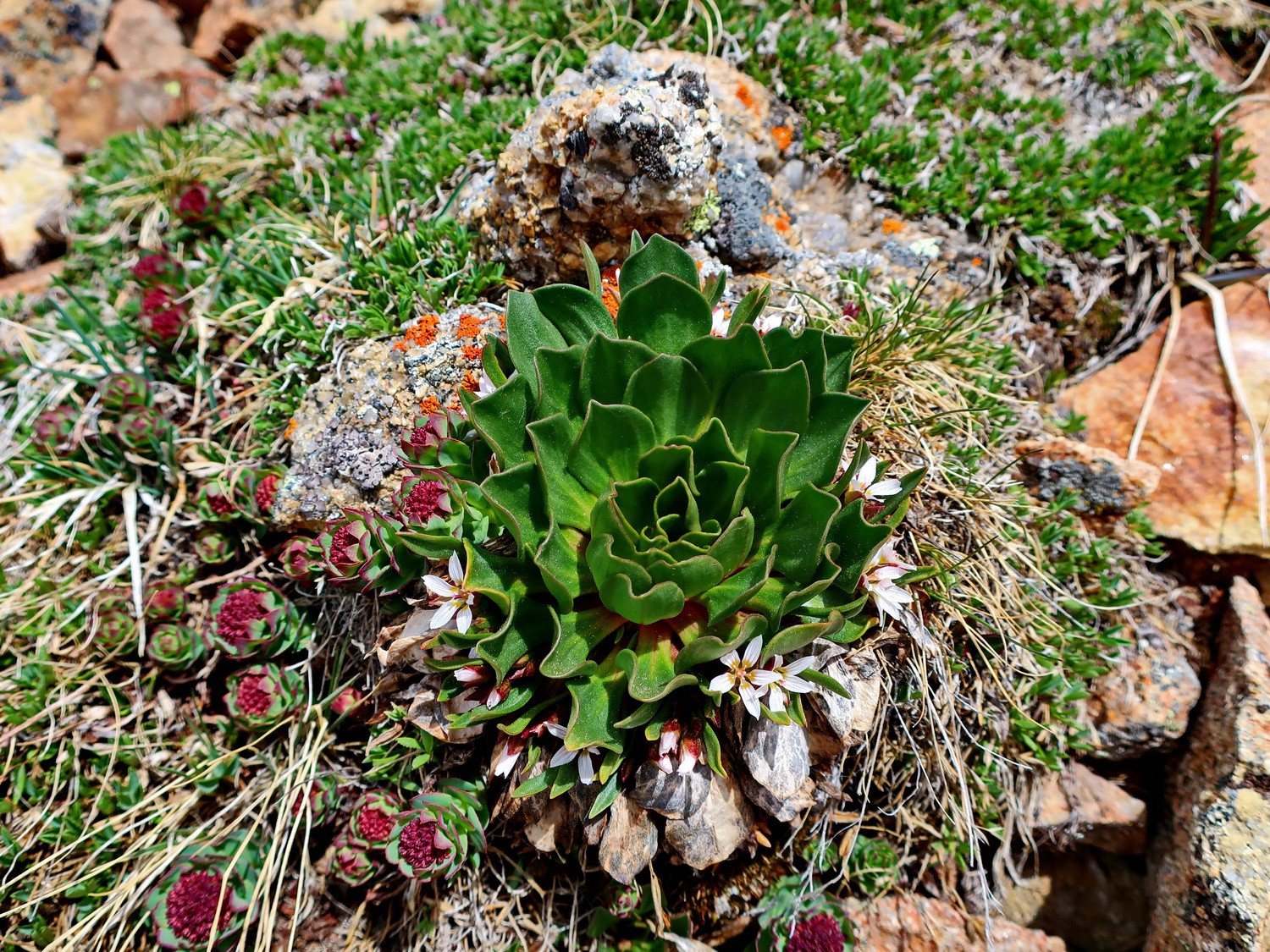
Flowers close to Red Cone Peak
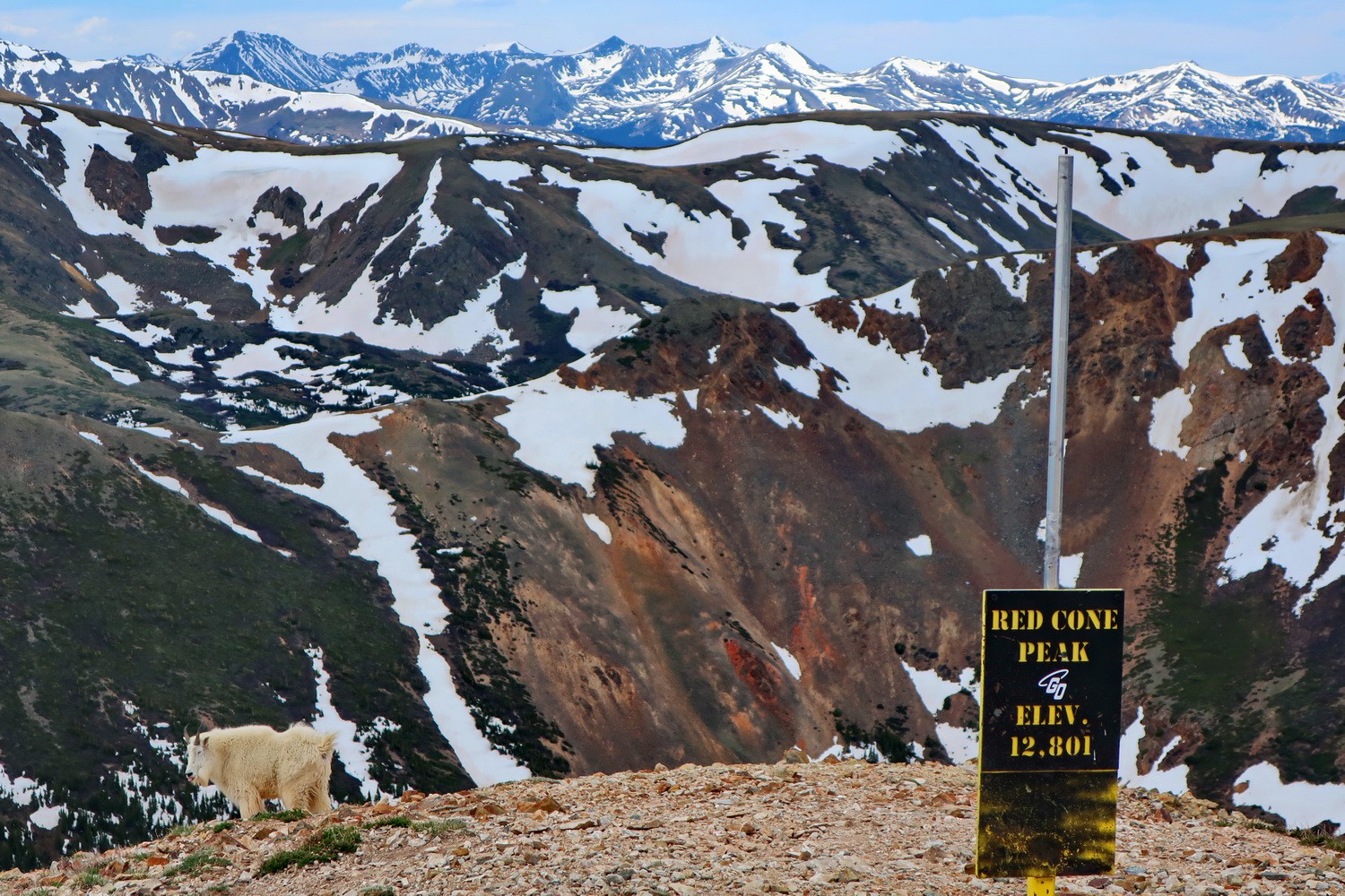
Summit of 3897 meters high Red Cone Peak with Montain Goat on the left
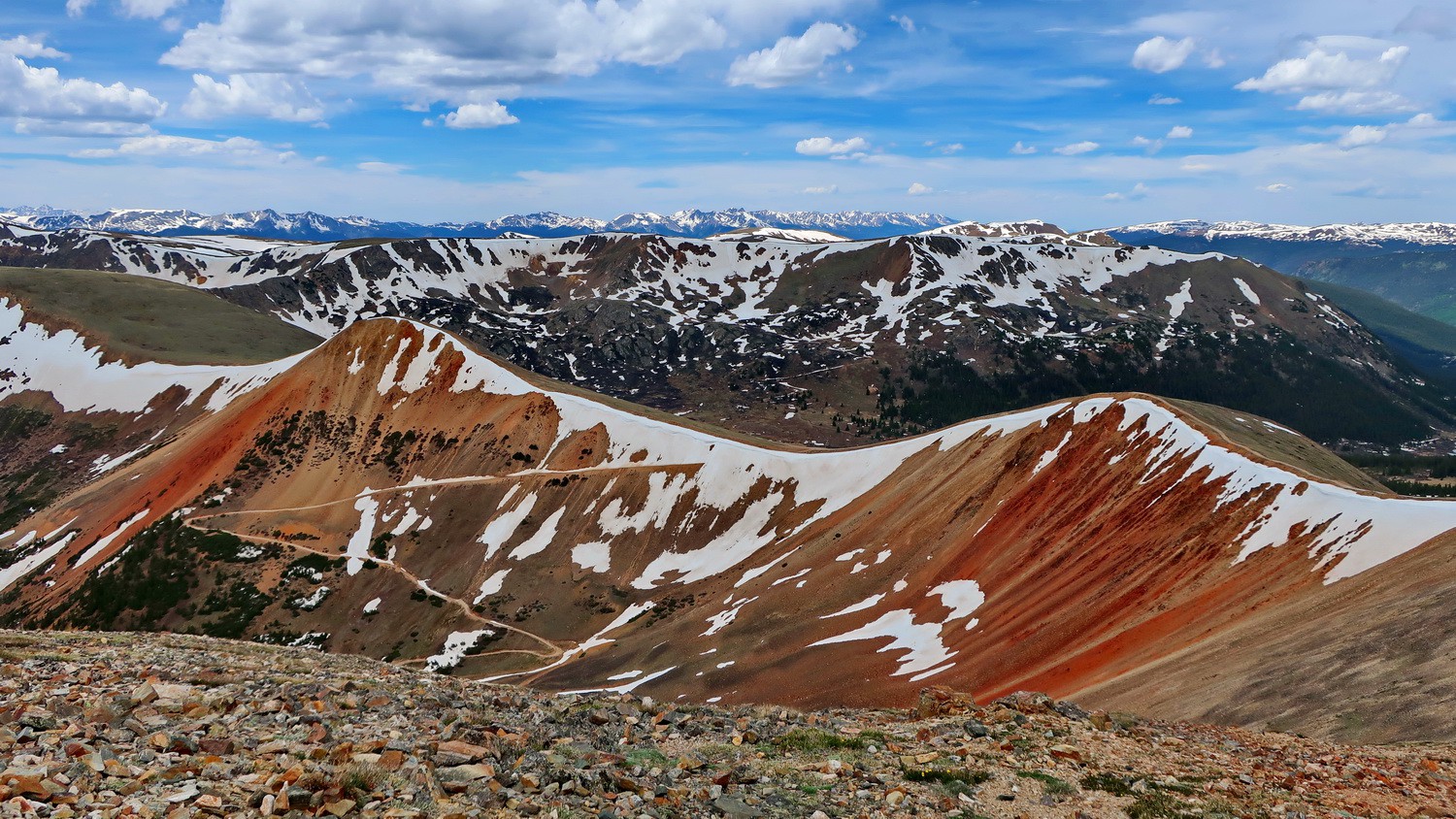
3778 meters high Grampy's Cairn and Webster Pass seen from Red Cone Peak
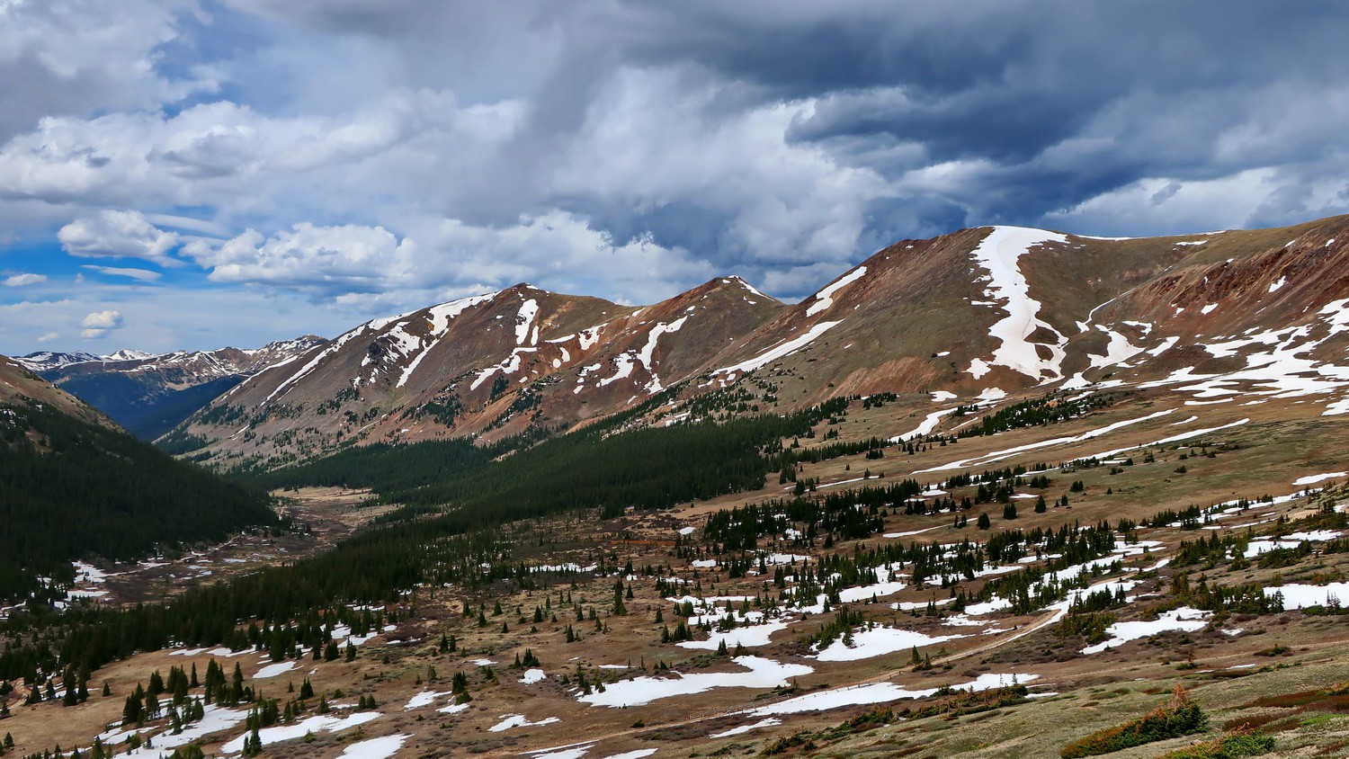
The valley of Snake River with Santa Fe Peak, Sullivan Mountain and Geneva Peak
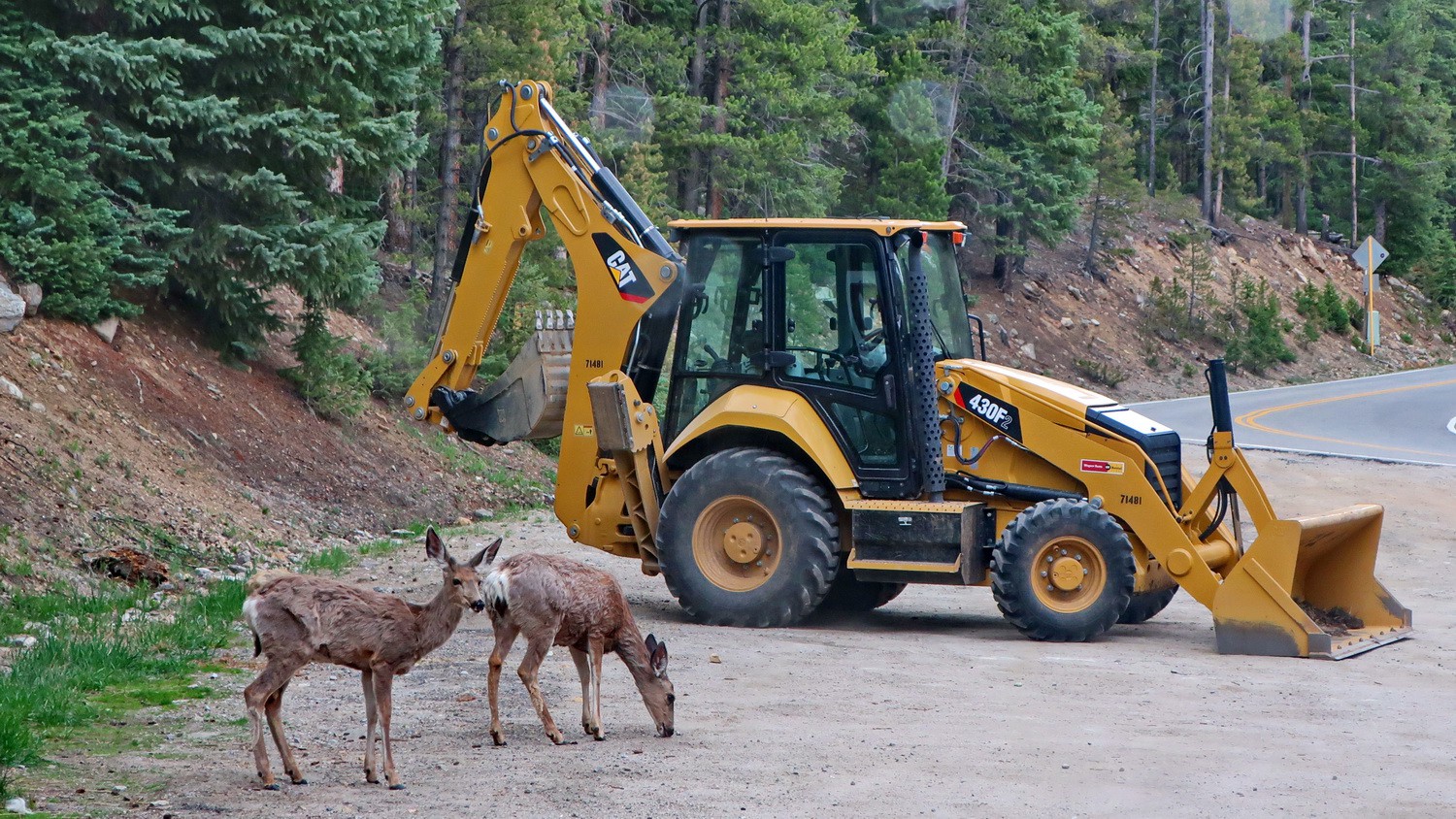
Deer on our parking lot at the gate to Peru Creek
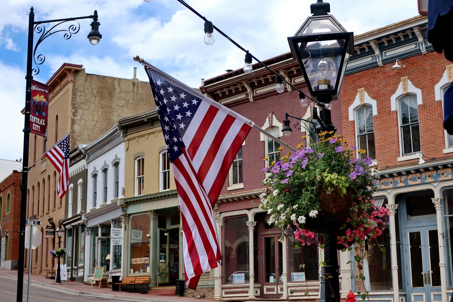
Main street of Central City
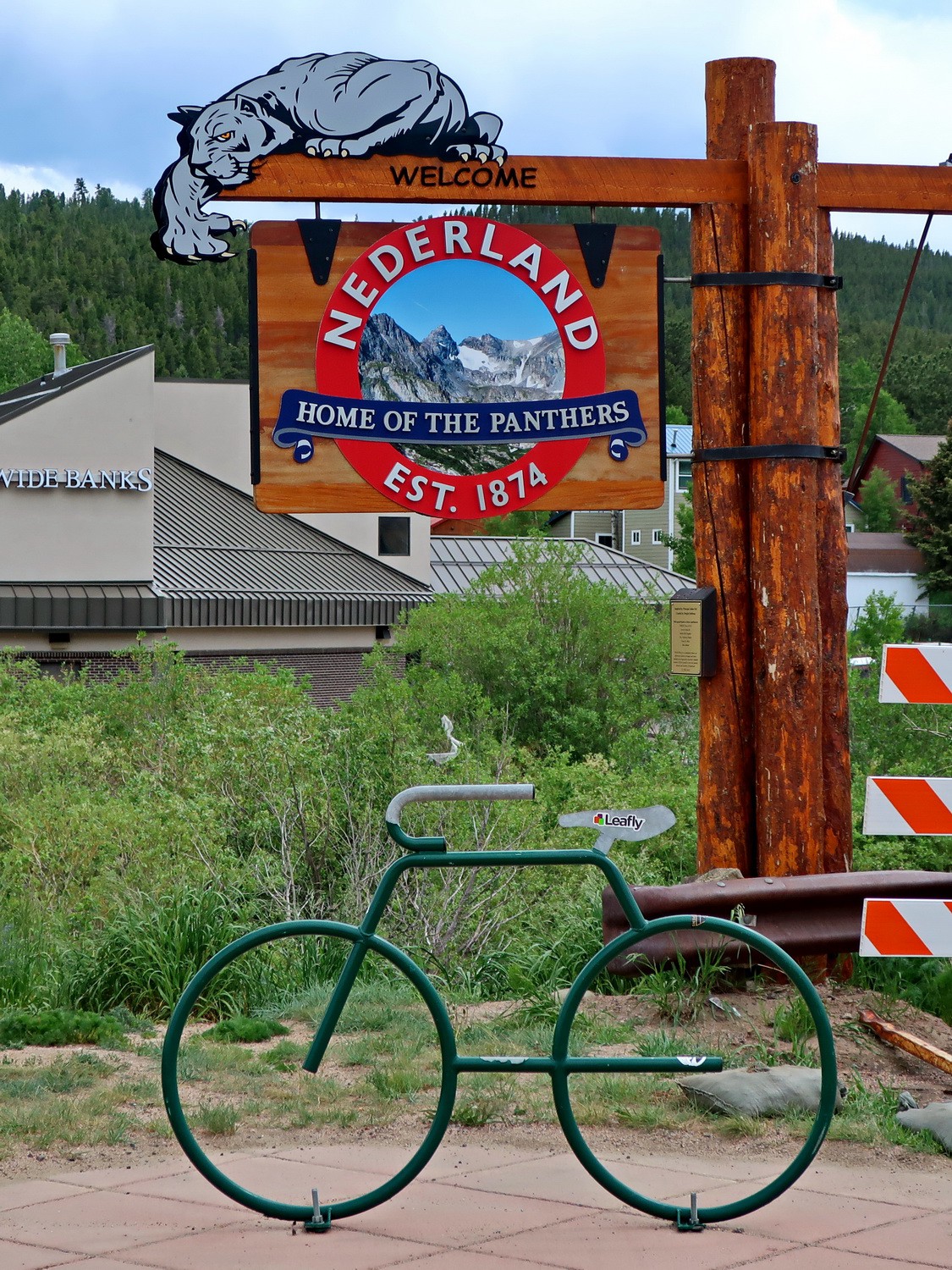
Nederland a "hippie" village in a "flat" valley
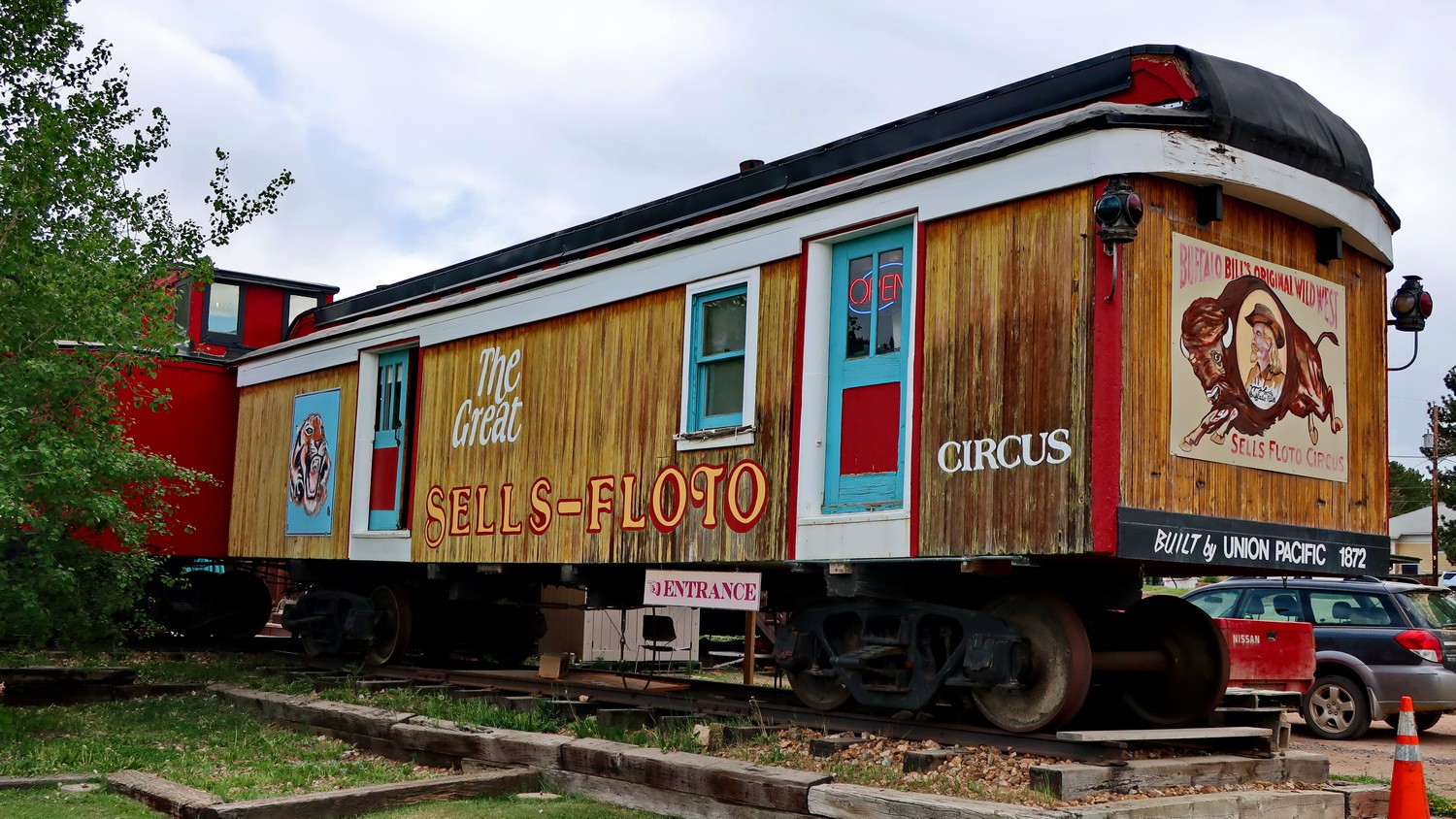
Old circus waggon with Buffalo Bill on the right
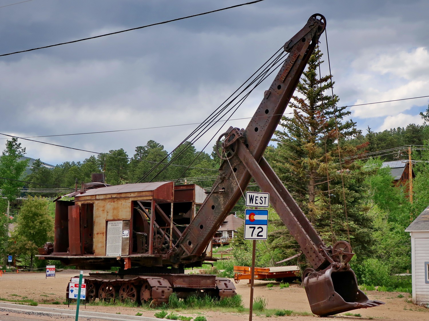
Huge digger Bucyrus Model 50-B built in the year 1923 and used to built the Panama Canal in front of the Nederland Mining Museum
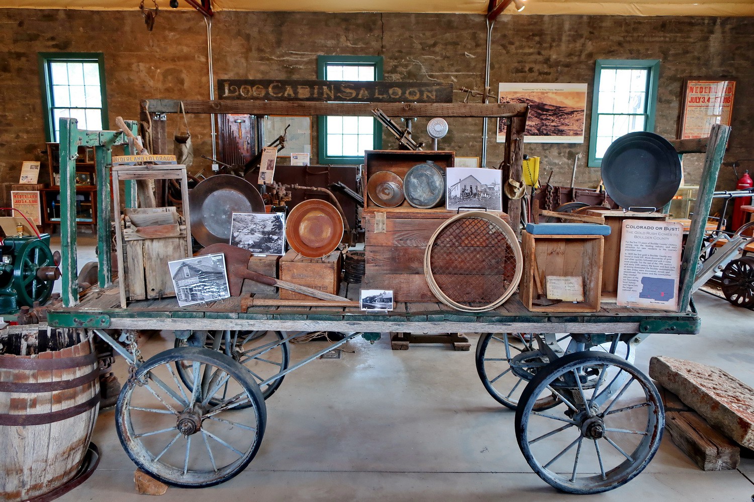
In the Mining Museum which shows Colorado's Gold Rush, starting in the year 1859
Mount Alice and Lion's Lake in the southeastern part of Rocky Mountains National Park
Mount Alice seen from the ascent to Chief's Head Peak
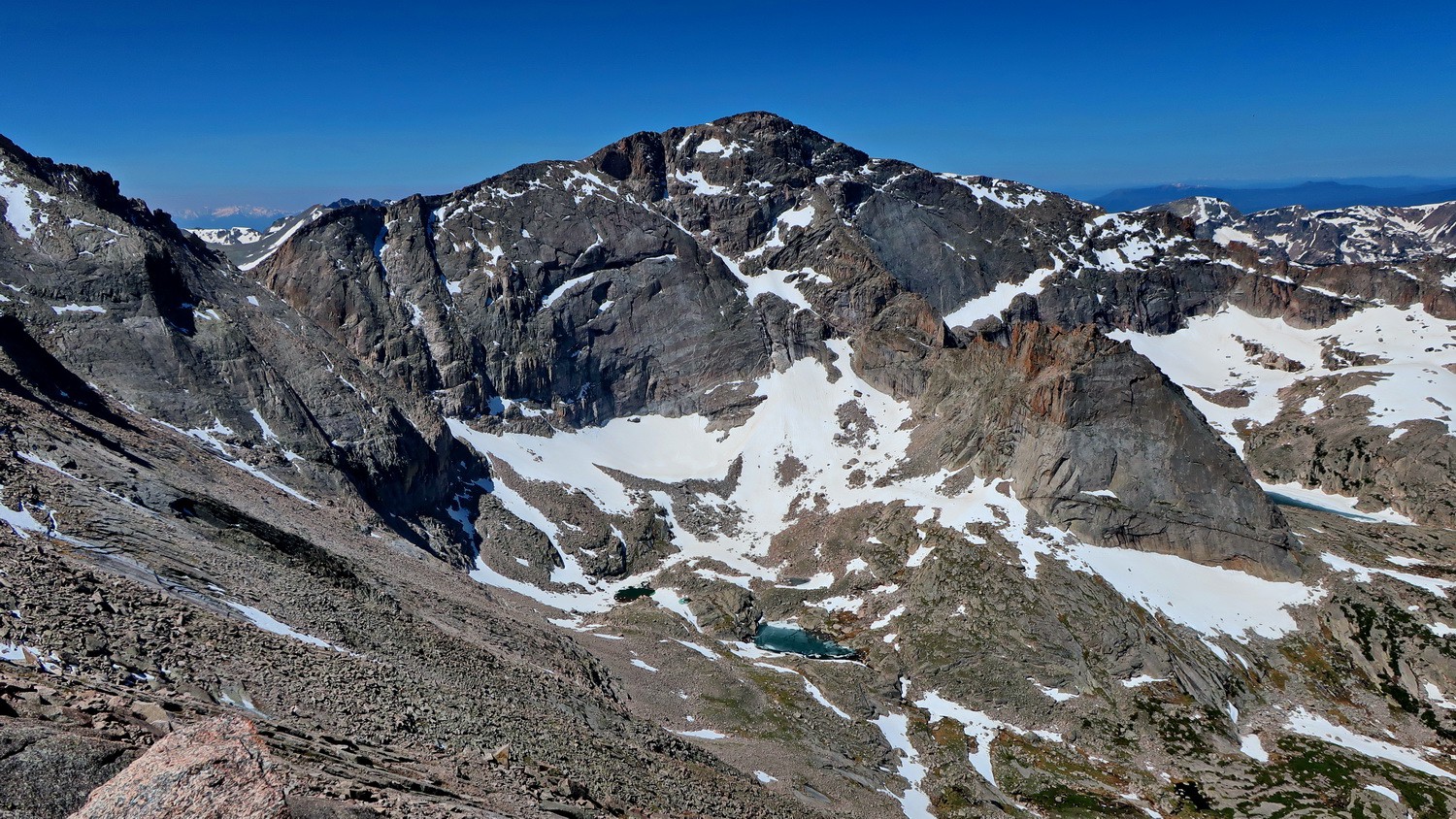
Longs Peak and Mount Meeker seen from the summit of Chief's Head Peak (4133 meters sea-level)
Climbing section on the north ridge of Mount Alice
Summit of 4056 meters high Mount Alice with its easy southern slopes
Flowers on Mount Alice
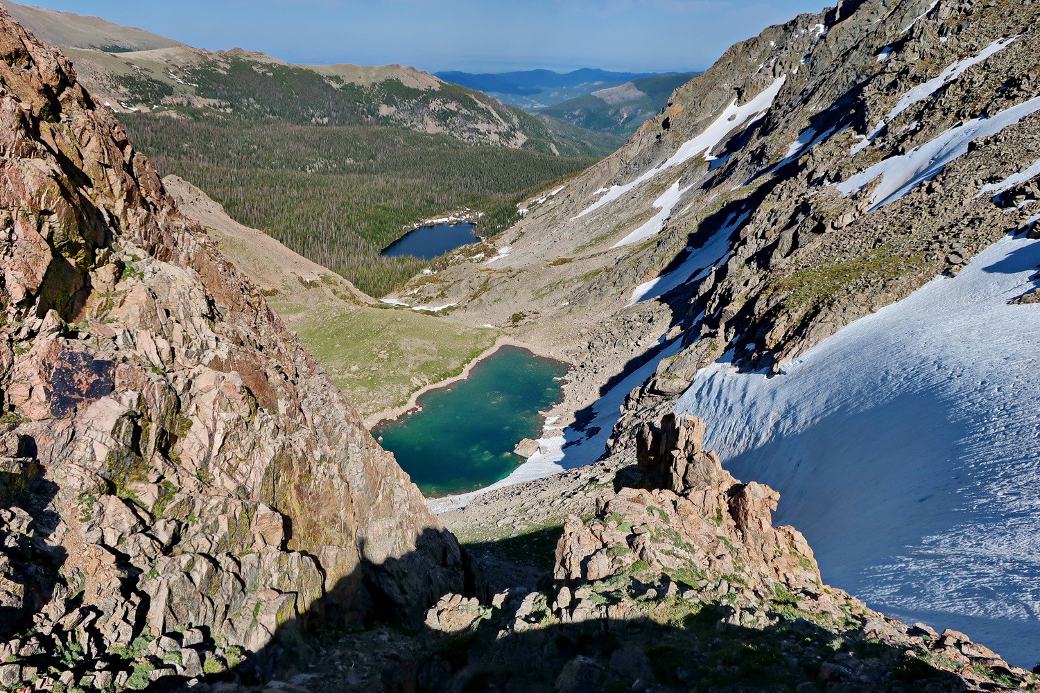
Steep Boulder Pass with Lake Power - The descent is on the left (in the shadow)
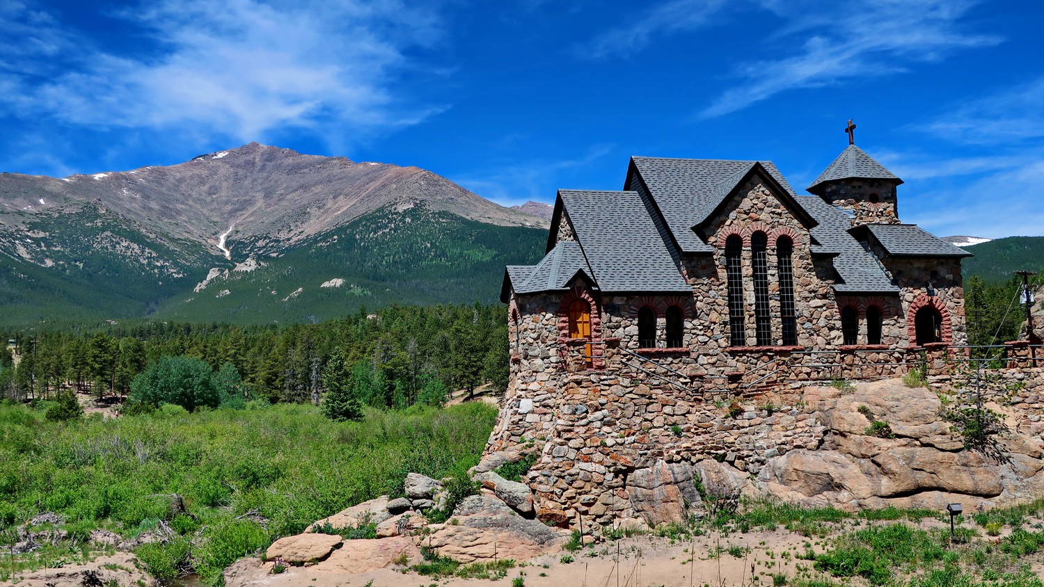
Saint Catherine of Siena Roman Catholic Chapel
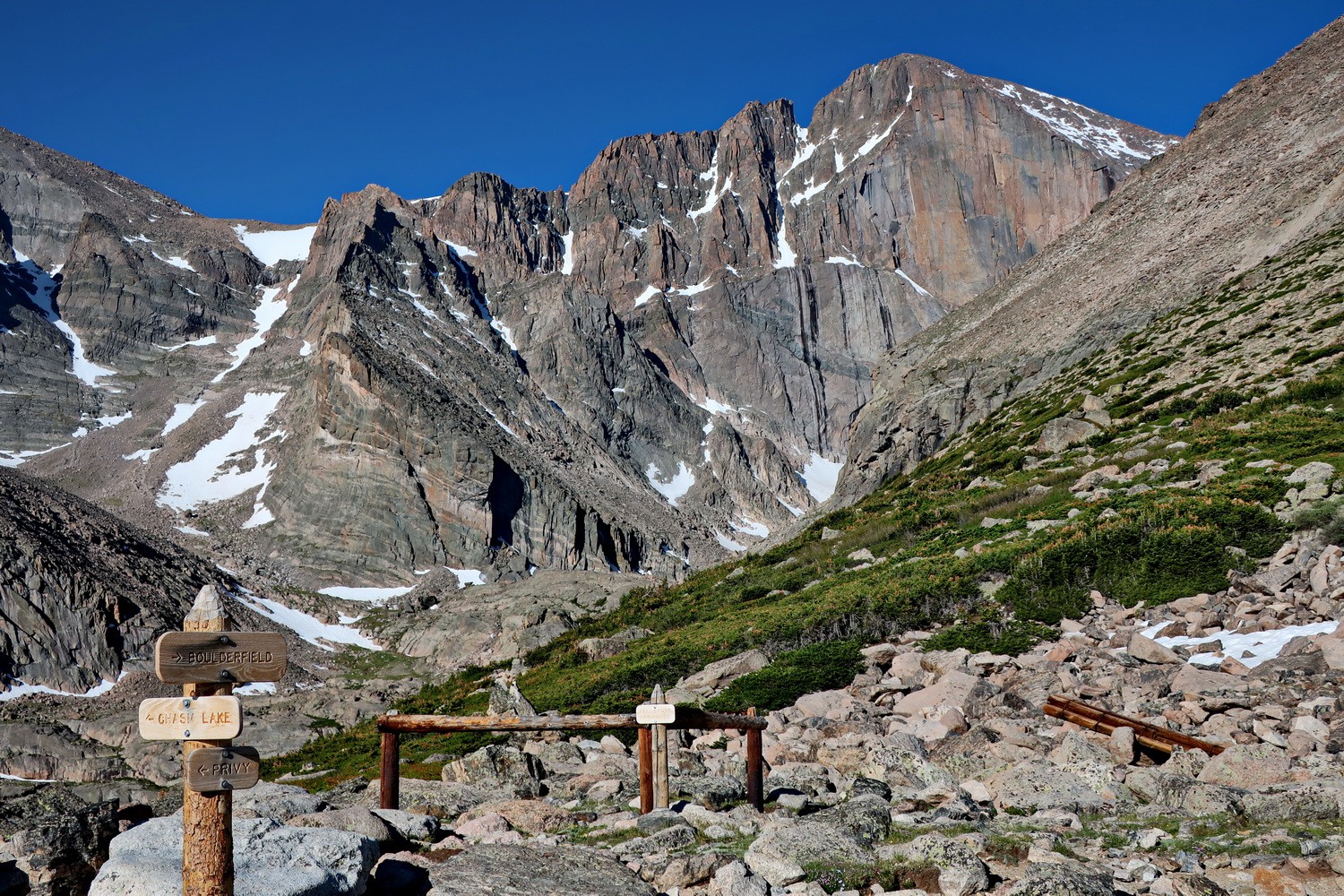
East face of Longs Peak which is with 4346 meters sea-level the highest point in the Rocky Mountains National Park
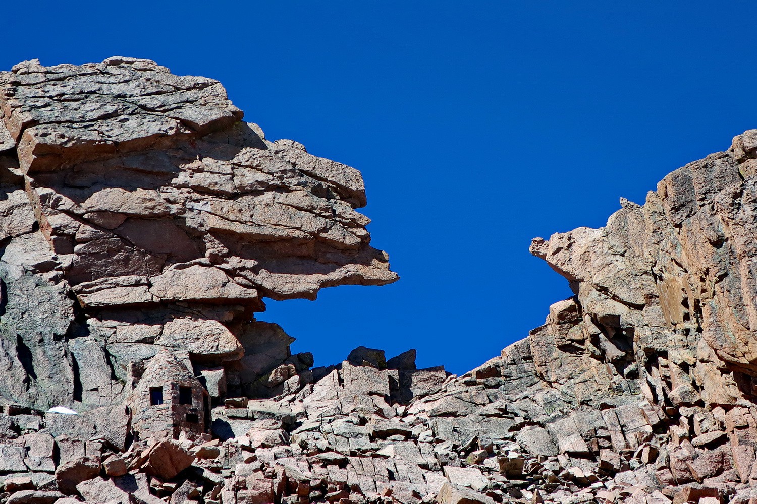
The keyhole in the north ridge of Longs Peak with a little hut on the left
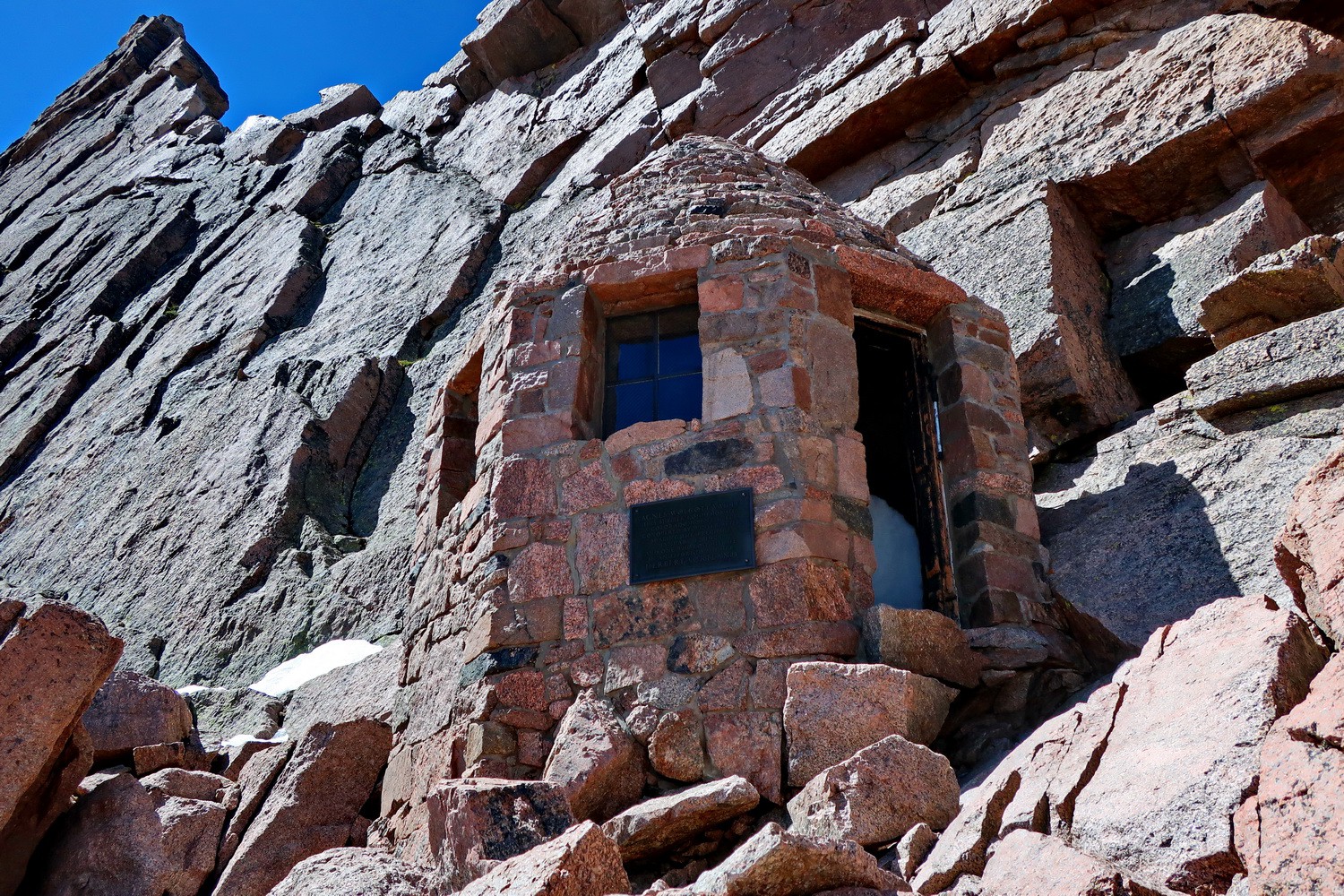
Agnes Wolcatt Vaille Shelter closed to the keyhole
Chief's Head Peak seen from the keyhole
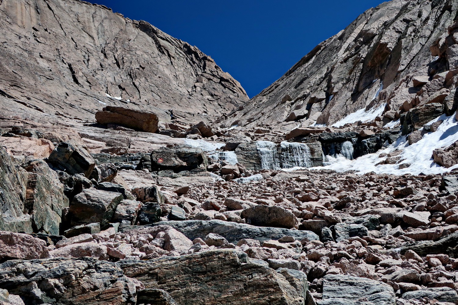
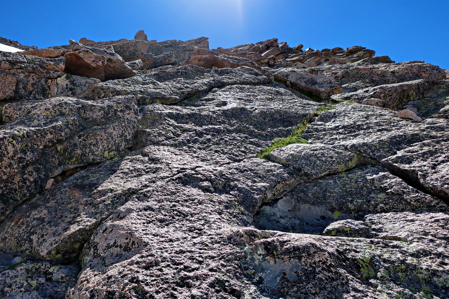
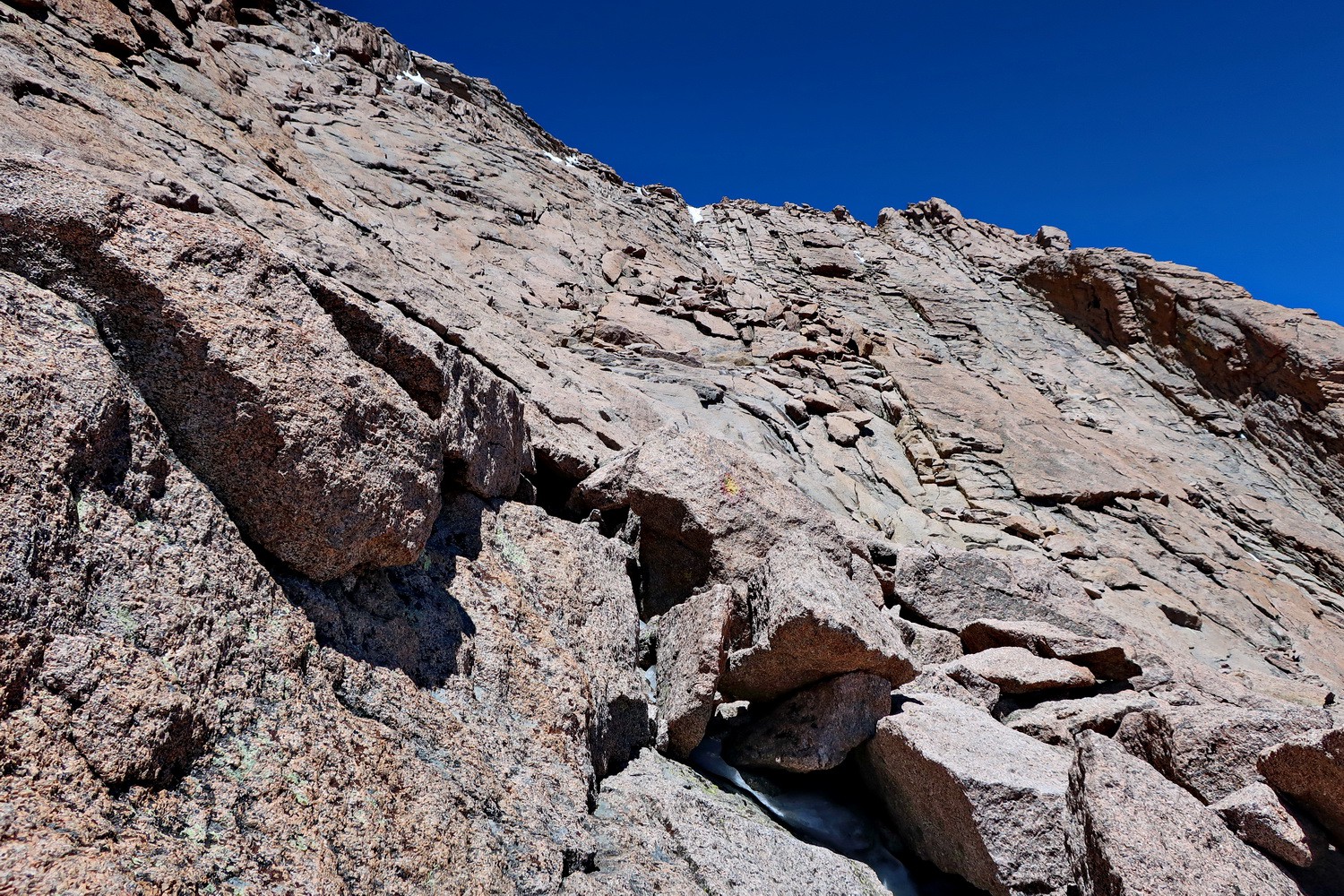
The gully in the northwest face of Longs Peak which must be climbed up
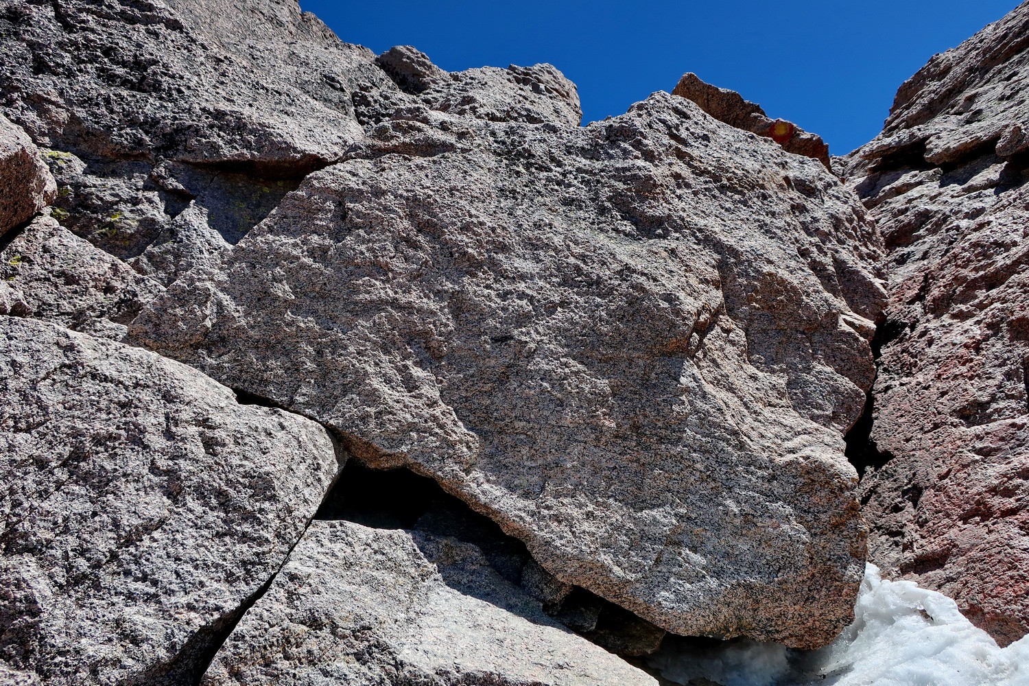
Serious climbing at the top of the gully
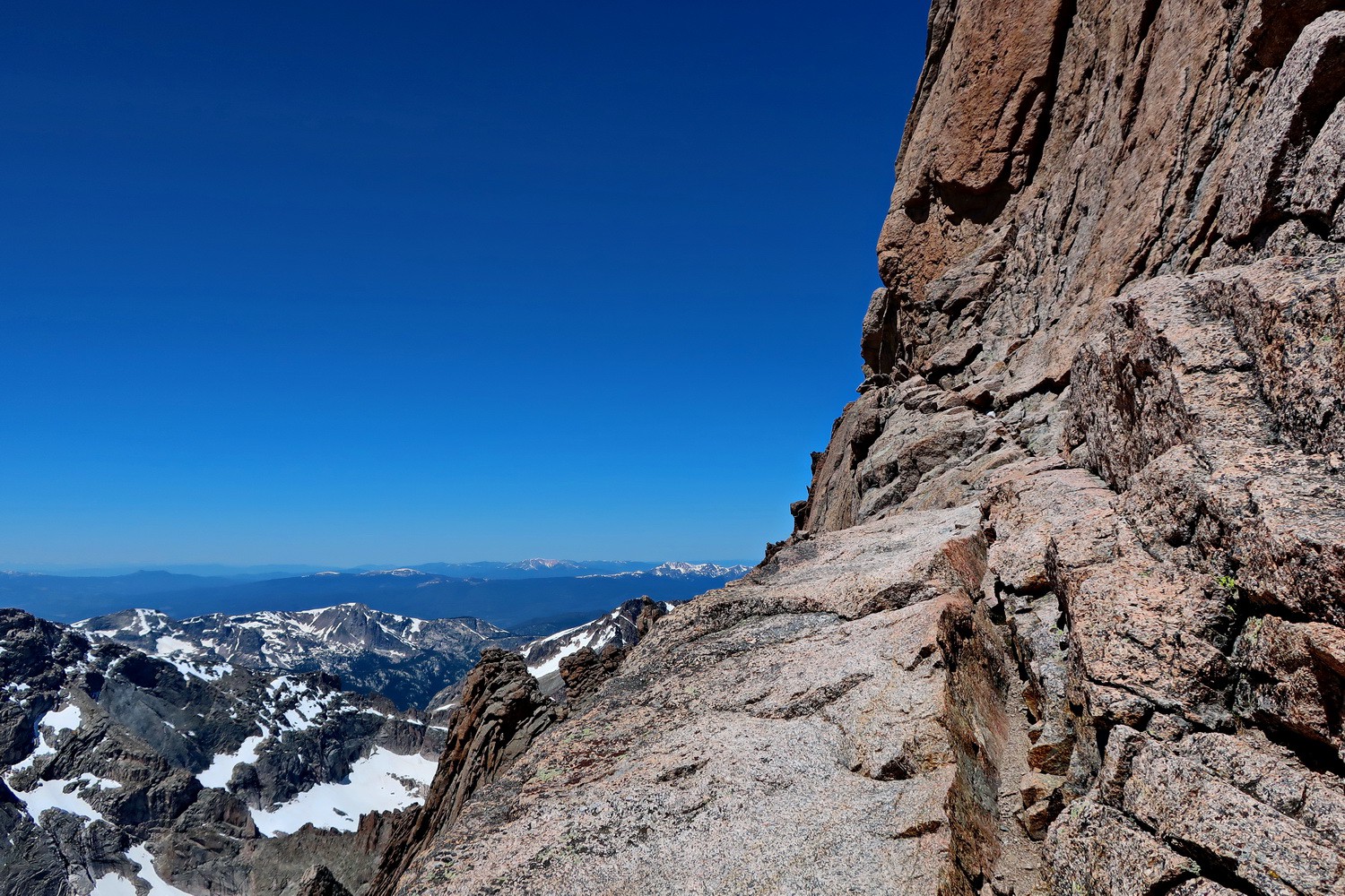
The traverse between the gully and the south face
South face of Longs Peak which provides access to its summit
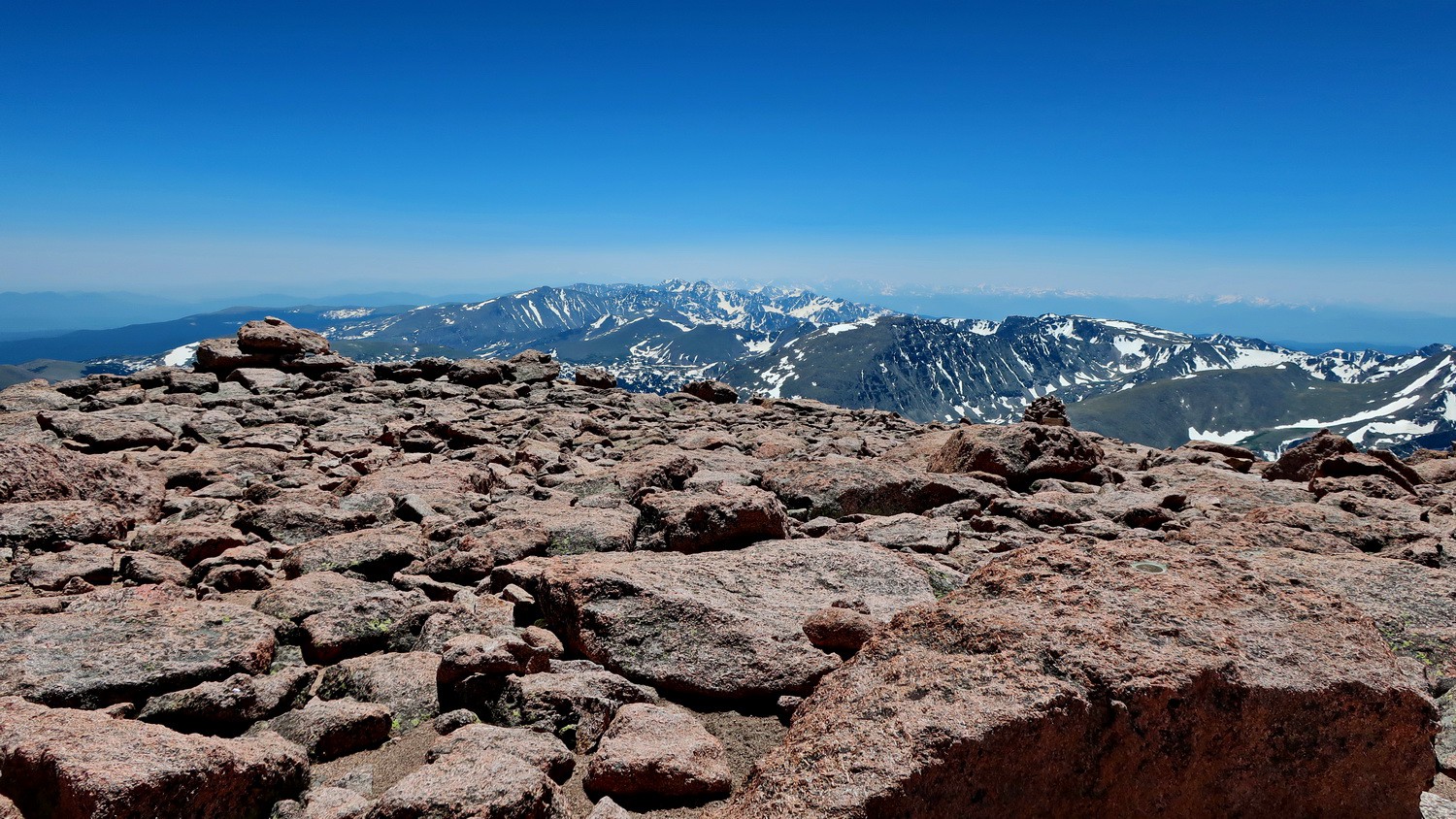
Alone on top of Longs Peak
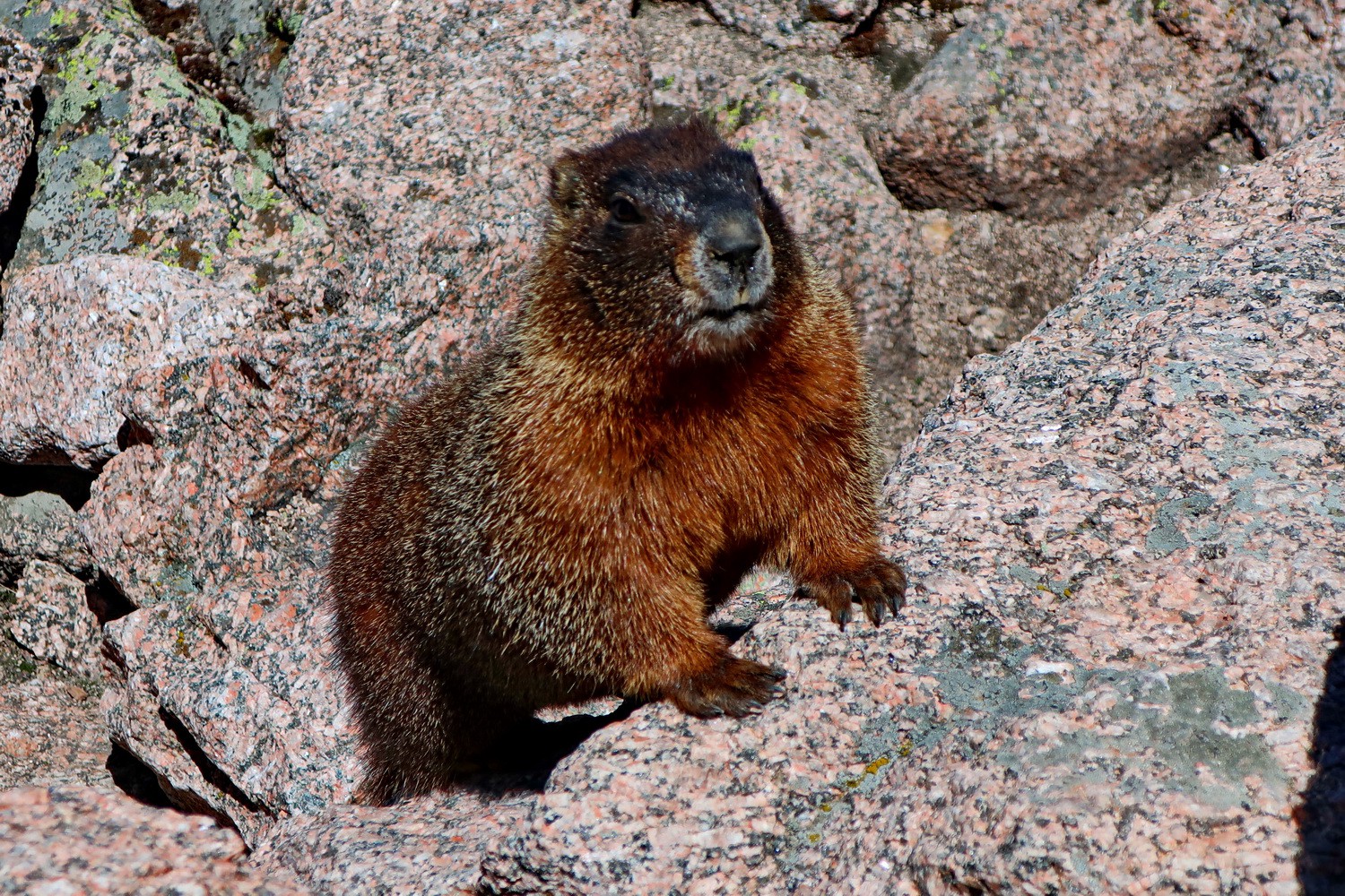
Not really - Marmot is watching
Marmot is coming closer
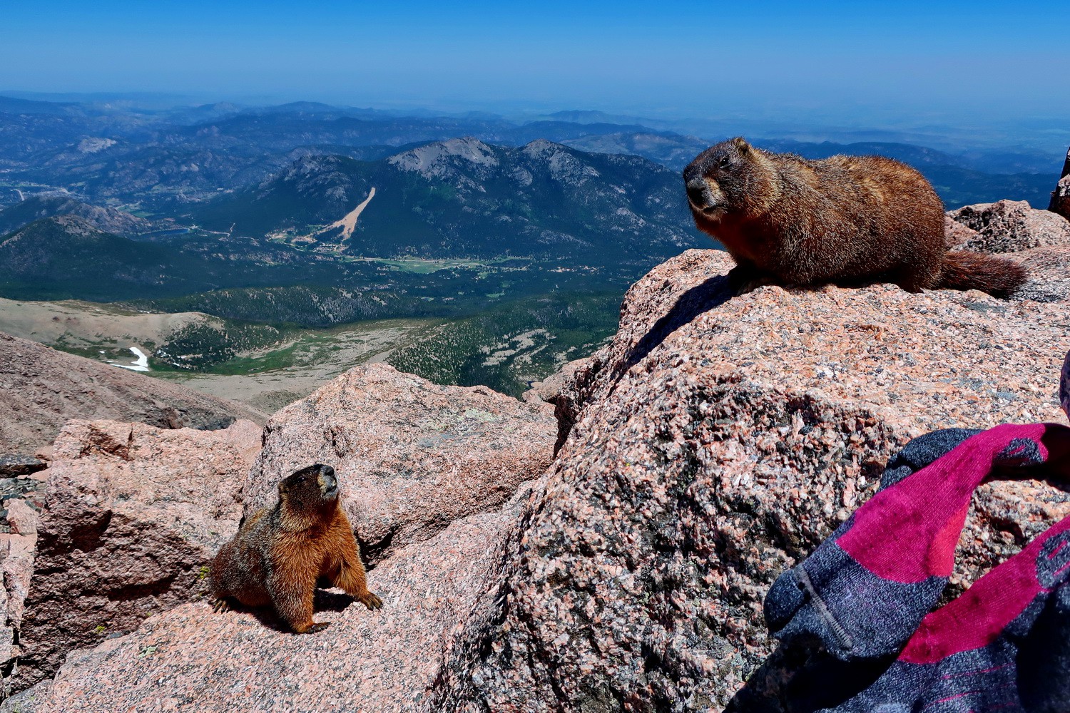
More Marmots are coming and checking my socks - very smelly!
Cairn in Estes Park
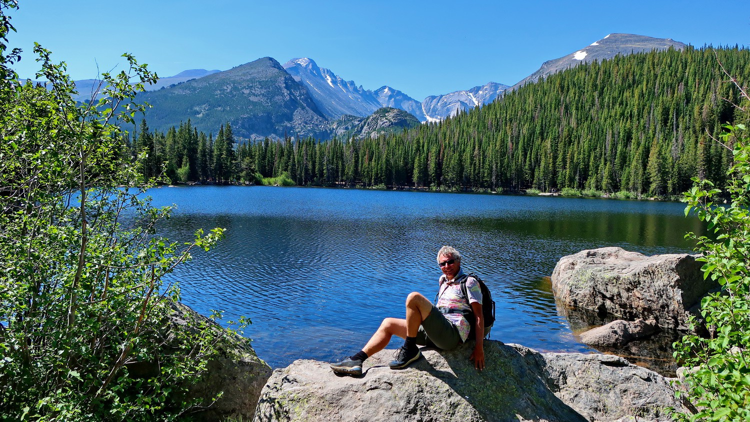
Bierstadt Lake with Longs Peak in the center
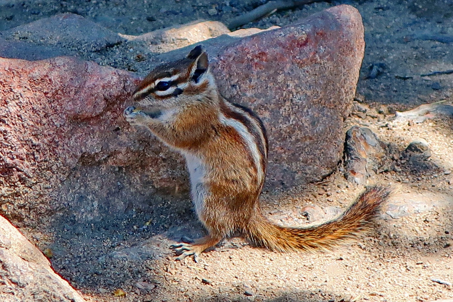
Squirrel
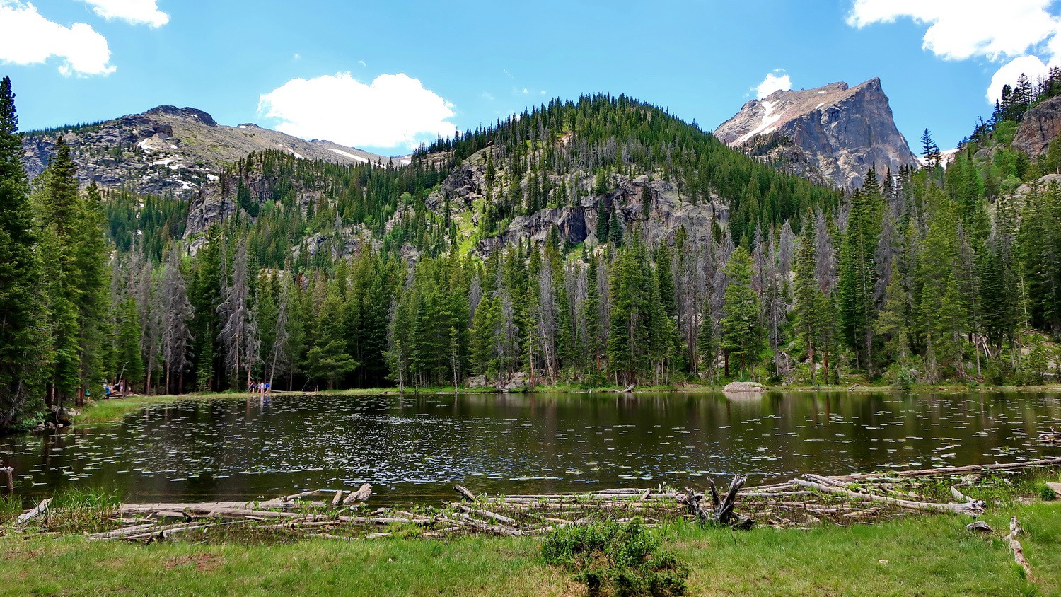
Nymph Lake
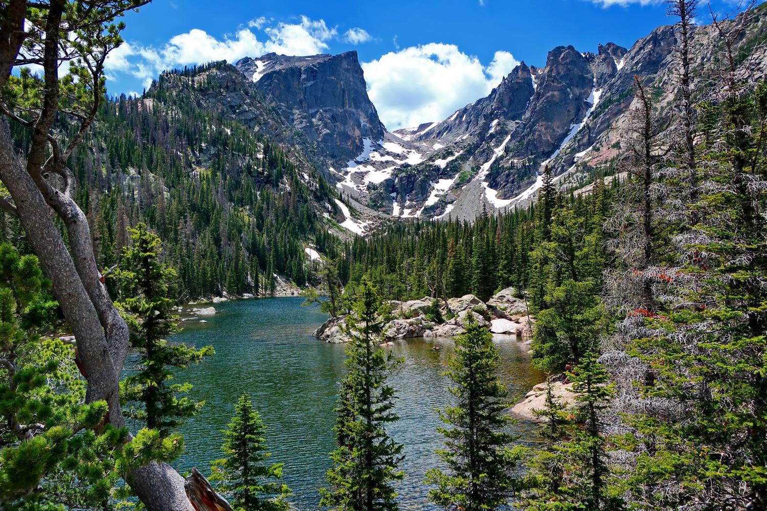
Dream Lake with 3840 meters high Hallett Peak
Brown-black bird on Dream Lake
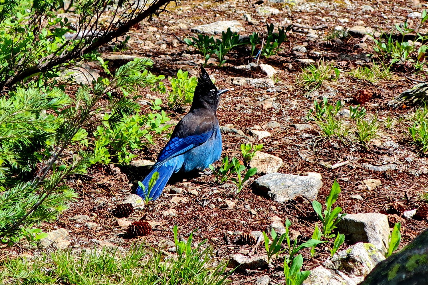
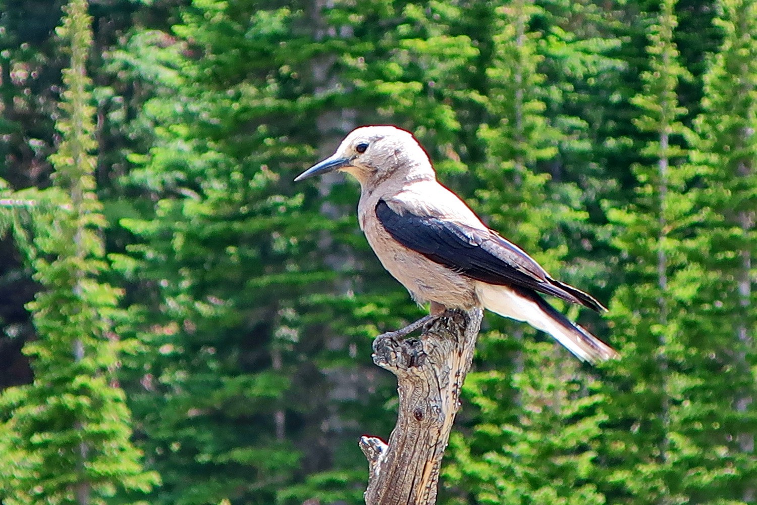
Steller's Jay between Dream and Nymph Lakes
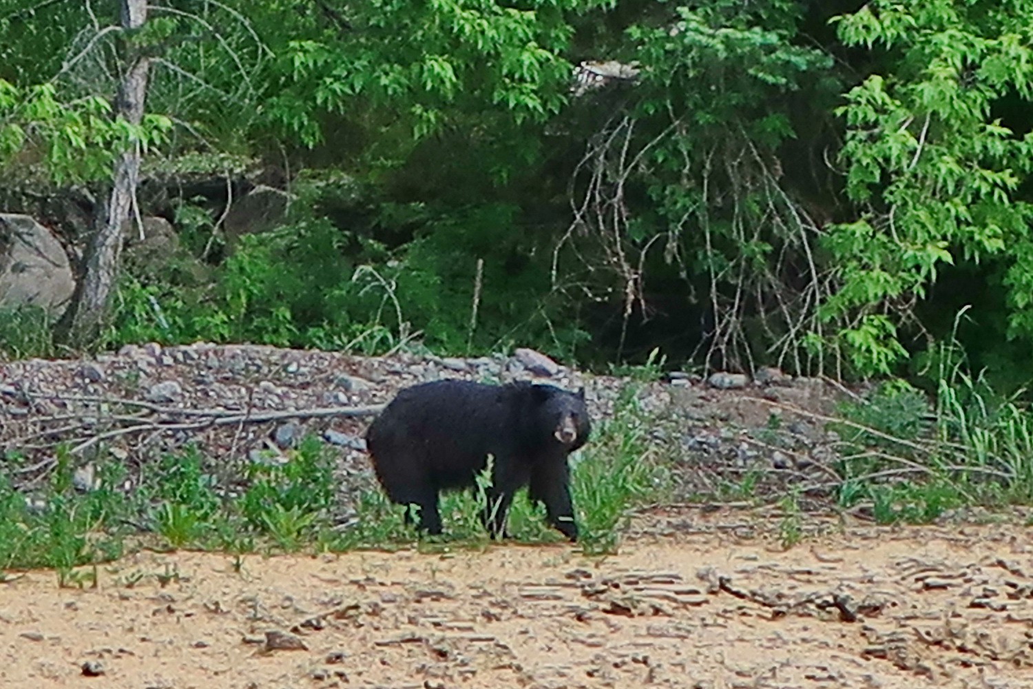
Our first Black Bear seen in wilderness from the street between Estes Park and Loveland
Powered by Phoca Gallery