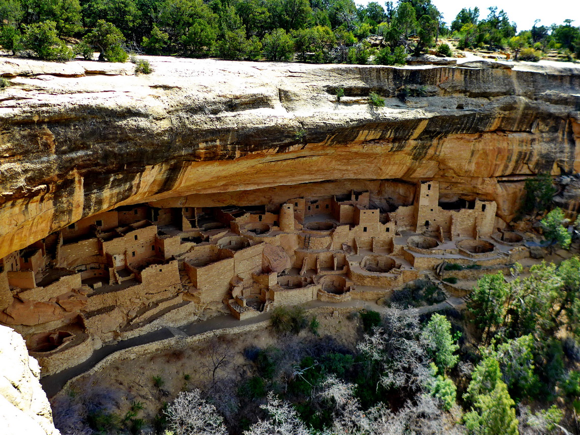
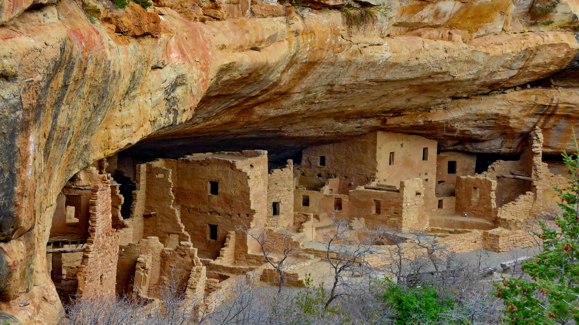
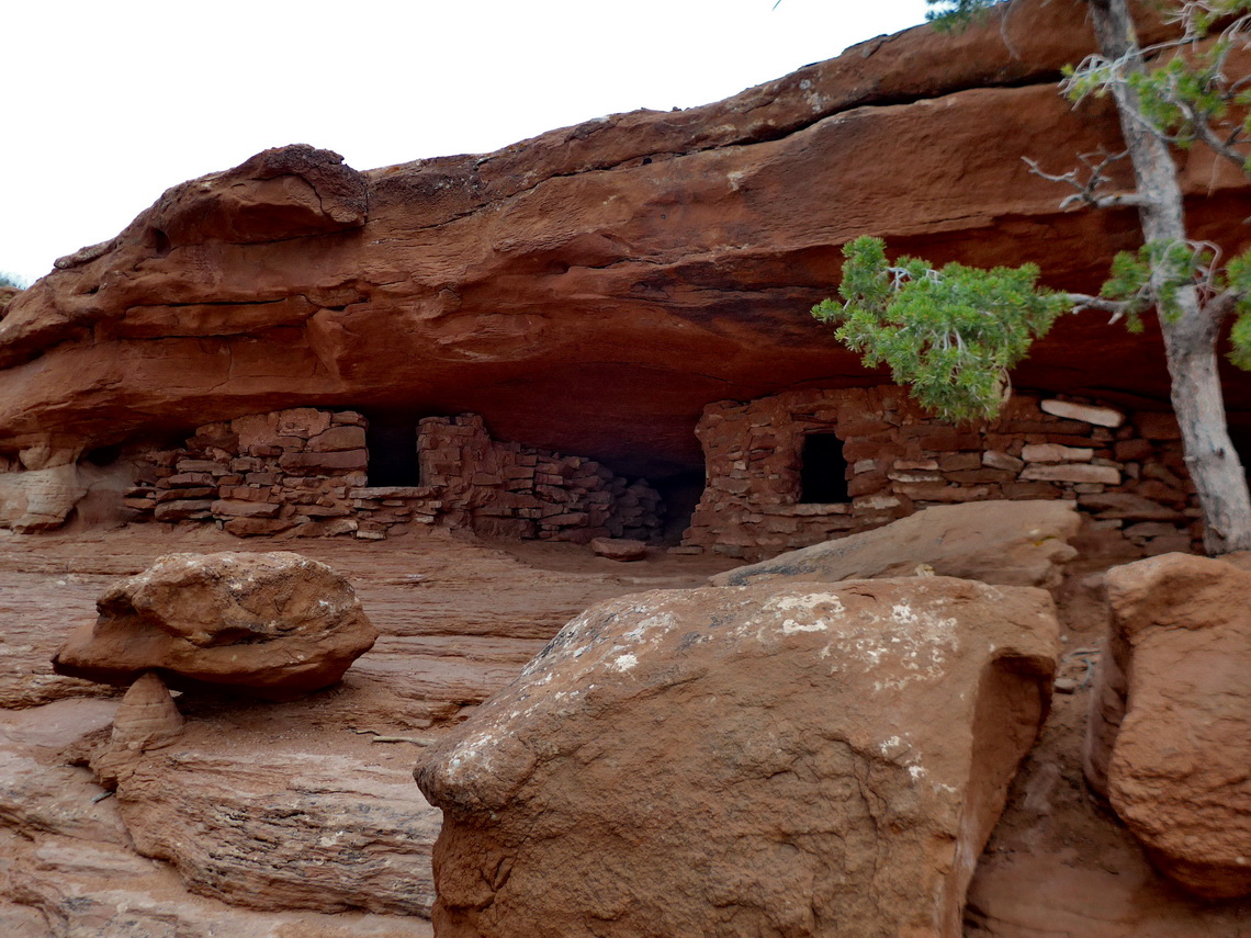
The Southwest has the highest density of National Parks within the United States of America. Arches and Canyonlands are wonderful natural treasures in Utah. Outstanding is the Mesa Verde National Park in the southwest corner of Colorado with its stunning cliff dwellings built by the Ancestral Pueblo People between AD 1150 and 1300. To our mind this World Heritage Site is in line with Machu Picchu in Peru and the Maya pyramids in Yucatan / Mexico.
There is a nice dry campsite on public BLM lands few hundreds meters outside of the National Park where we stayed free of charge three pleasant nights (GPS coordinates: N37° 21.569' W108° 25.371').
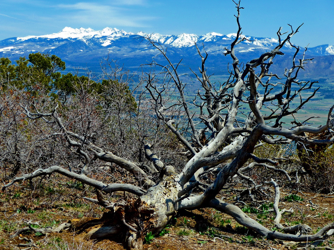
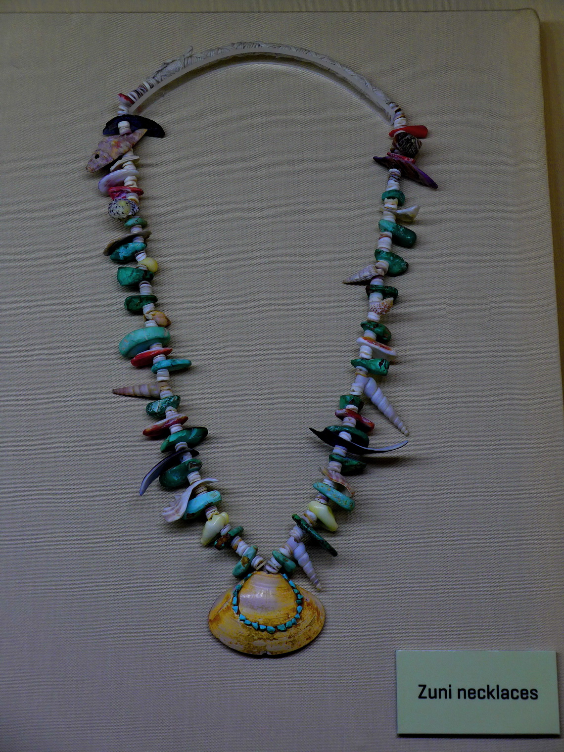
Close to the entrance of the park is the Visitor Center with an interesting museum, water supply and free, fast WiFi. On the first day we hiked in the northern section of the park to the impressive Point Lookout (3.4 kilometers roundtrip) and the southern part of the Prater Ridge Trail (5.4 kilometers) Trail. Both trails provide beautiful views of the landscape and are included in our GPS coordinates file of Colorado.
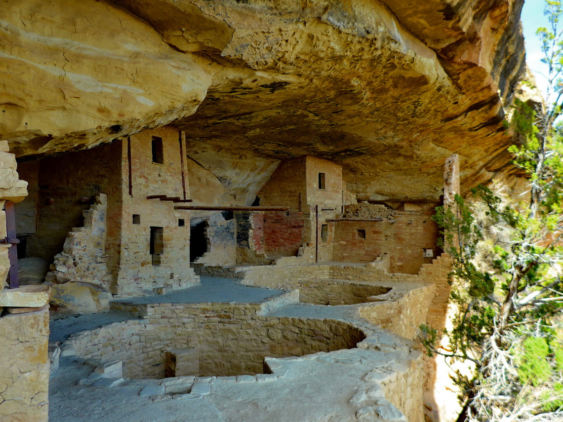
The cliff dwellings are in the southern part of Mesa Verde. Due to snow just Chapin Mesa was open but we strolled an entire day in this exciting area. With a guided tour we could visit the Balcony House. To come inside a long and steep ladder must be climbed up. Its exit is a short and narrow tunnel which had been the original and only access in the past.
West of Mesa Verde is the little town Cortez which provides many facilities in this area. We stayed the night on the parking lot of Walmart with some other motor-homes (GPS coordinates: N37° 20.871' W108° 33.729'). 60 kilometers north of Cortez and close to the border between Colorado and Utah is the impressive Dolores Canyon. A rough road from Dove Creek leads to a wonderful campsite on its shore (GPS coordinates: N37° 47.646' W108° 49.632').
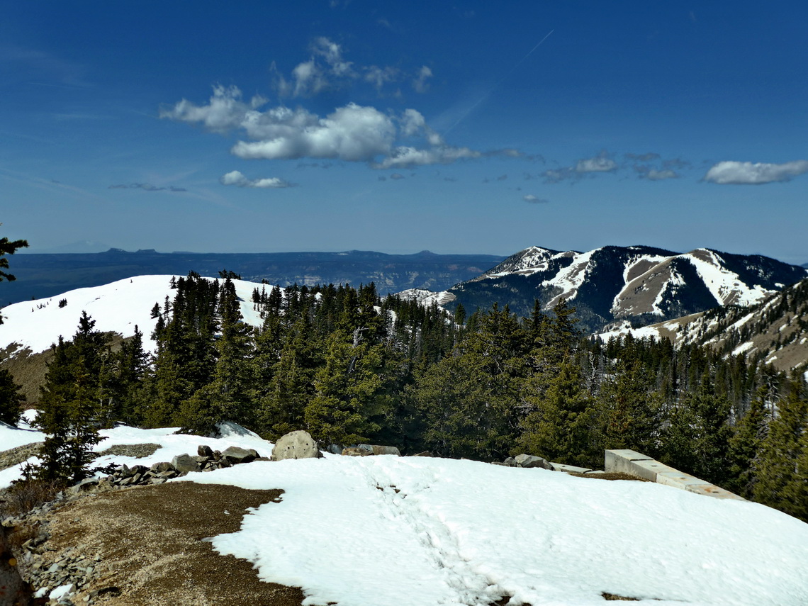
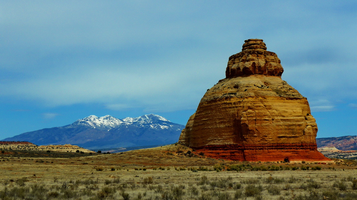
In the little town of Monticello we realized that a tire was in a very bad shape. Consequently we ordered new ones but we had to wait few days. An excellent but cold (more than 2600 meters sea-level!) dry campground is on the northern slope of the southern part of the Manti-La Sal national forest on an abandoned skiing area (GPS coordinates N37° 51.706' W109° 26.003'). From there Alfred hiked up mainly through deep snow to its highest point Abajo Peak, 3448 meters sea-level. The trail to Abajo Peak is included in the GPS coordinates file of Utah.
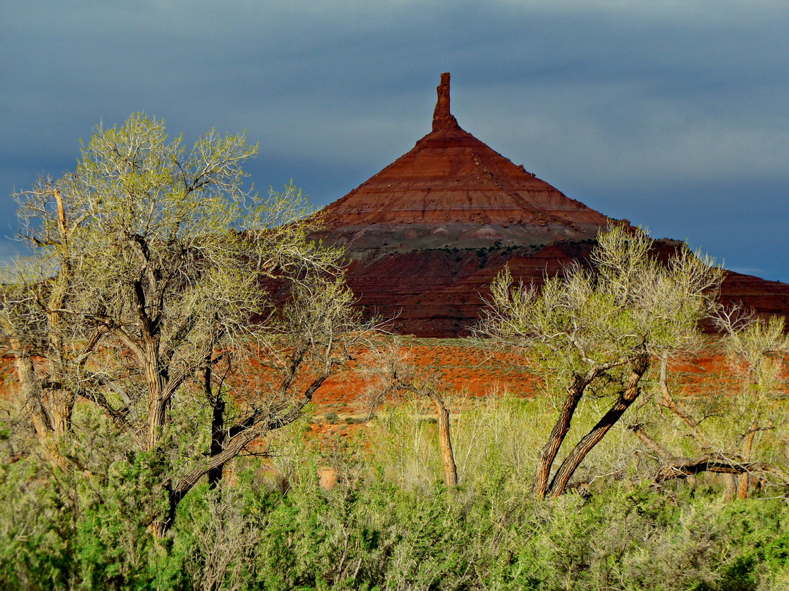
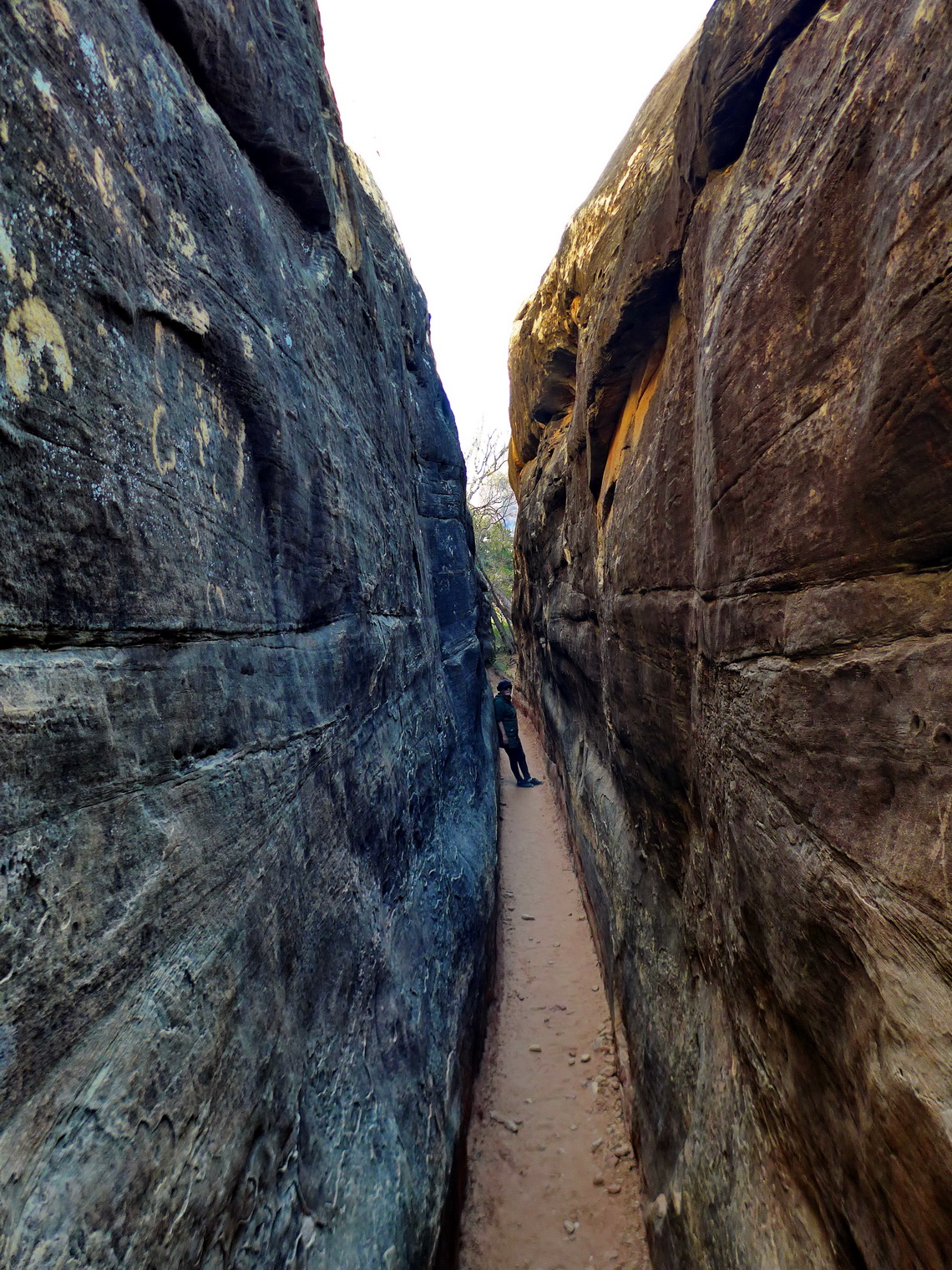
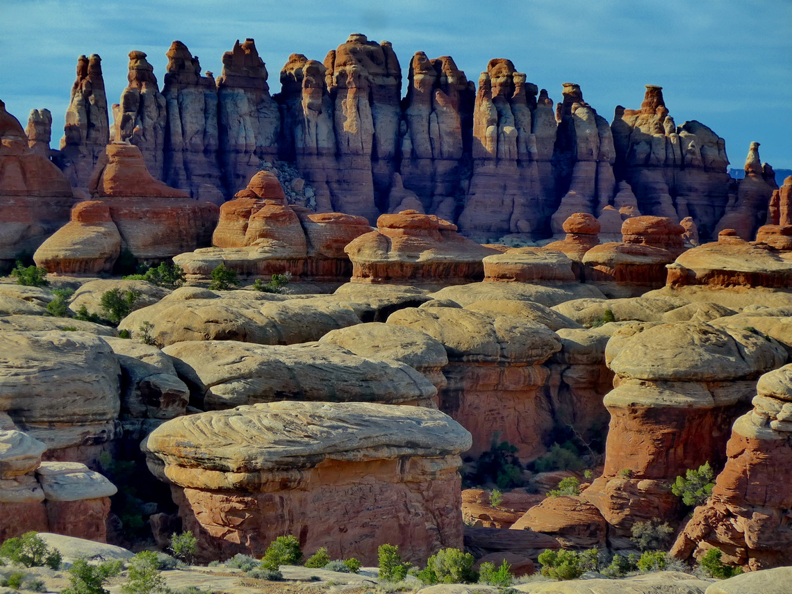
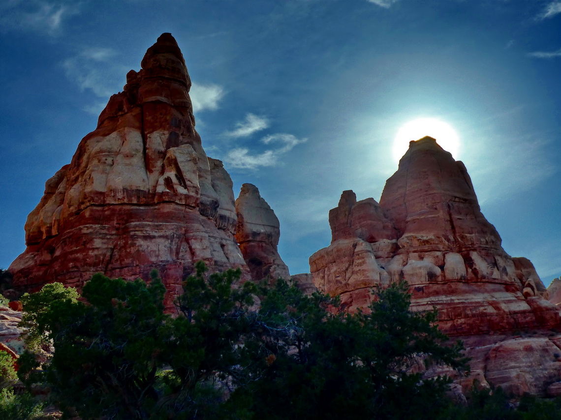
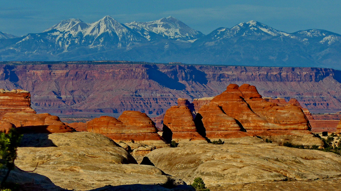
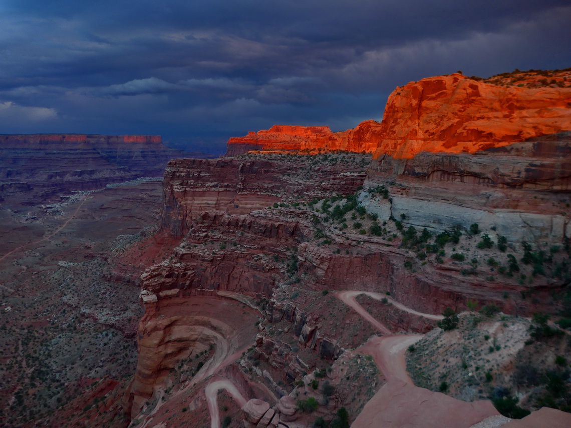
The Canyonlands National Park with colorful canyons, mesas, buttes fins arches and spires is divided into three sections. Close to Monticello is The Needles part of it. Obviously its main feature are a lot of tall and spiky pinnacles. We spent two quiet nights in the pristine desert few kilometers outside of the park, of course free of charge (GPS coordinates: N38° 11.239' W109° 40.183').
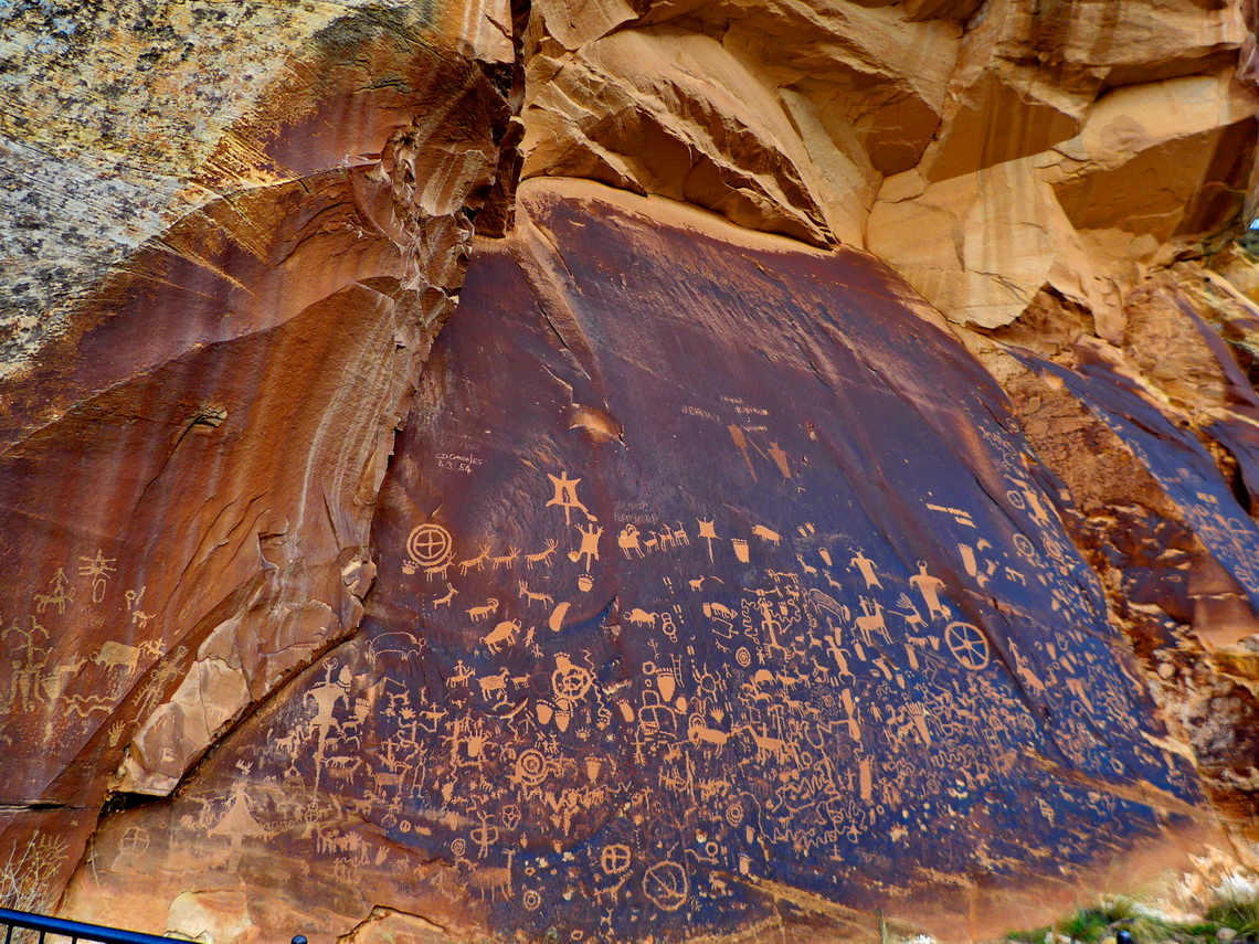
Sensational is the Newspaper Rock on the street Utah highway 211 to the entrance of The Needles. Many different carvings represent multiple cultures between the 5th and 20th centuries.
In The Needles section we hiked the shorter Slickrock trail in the morning (about 4 kilometers) and the strenuous Chesler Park Viewpoint trail in the afternoon (approximately 10 kilometers). Both hikes were beautiful especially the way to the Chesler Park Viewpoint where we had a fantastic light in the late afternoon. Both trails are included in the GPS coordinates file of Utah.
Bustling Moab is the closest town but it was little bit overcrowded due to many, many tourists because also Arches National Park is nearby. After searching a little bit we found maybe the only free campsite around Moab approximately 20 kilometers north on the side road Willow Springs of the highway US191, where we slept four pleasant nights (GPS coordinates:N38° 41.786' W109° 41.412'). It was like a bigger motor-home town - many American people stayed a lot of time there.
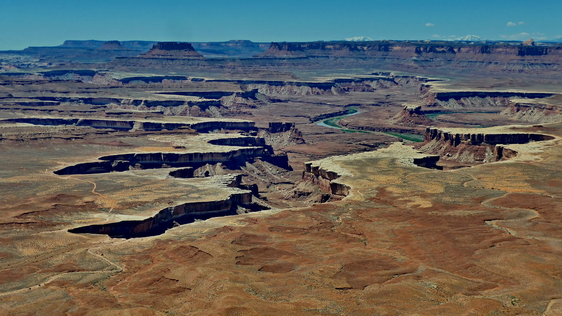
Three kilometers south of the Willow Springs road is the bifurcation into the Island of Sky section of Canyonlands. Like the The Needles part Island in the Sky is accessible with a regular car on paved roads. There we did the shorter but stunning hikes to the two Upheaval Dome Overlooks, Murphy Point and Grand View Point Overlook. Close to dawn we climbed up the two summits of 1,918 meters high Aztec Butte. This trail is included in the GPS coordinates file of Utah.
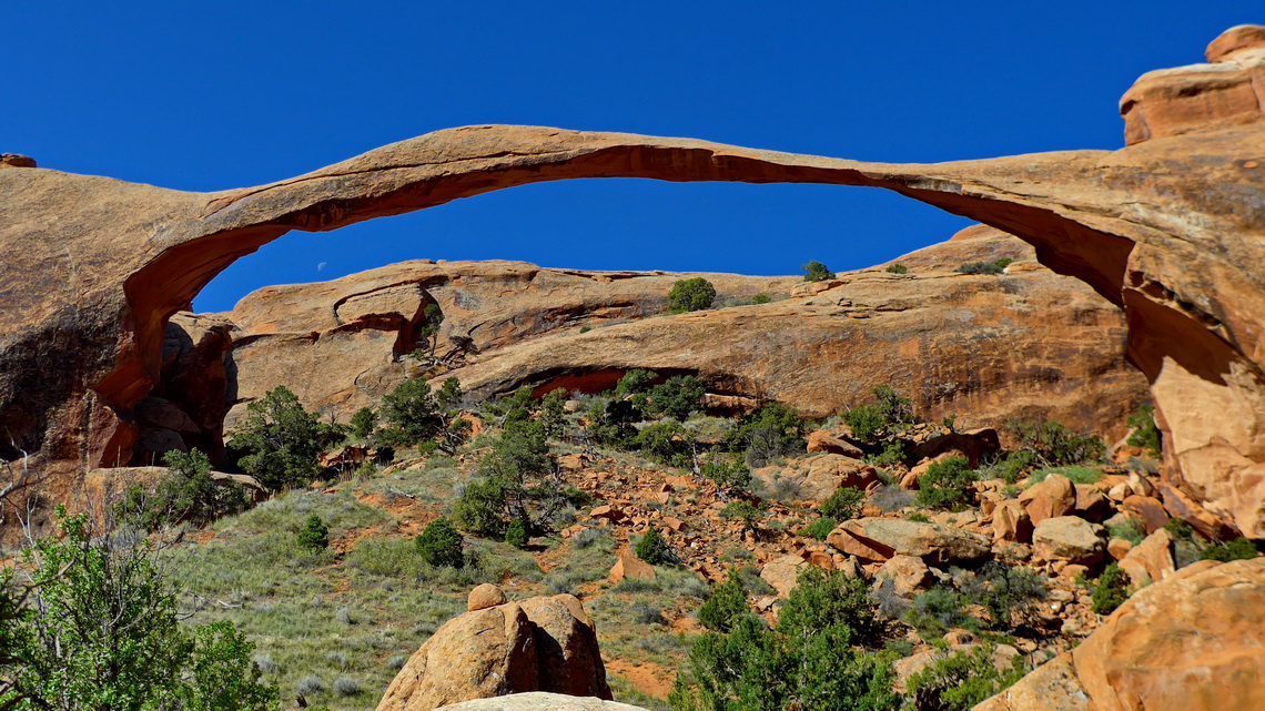
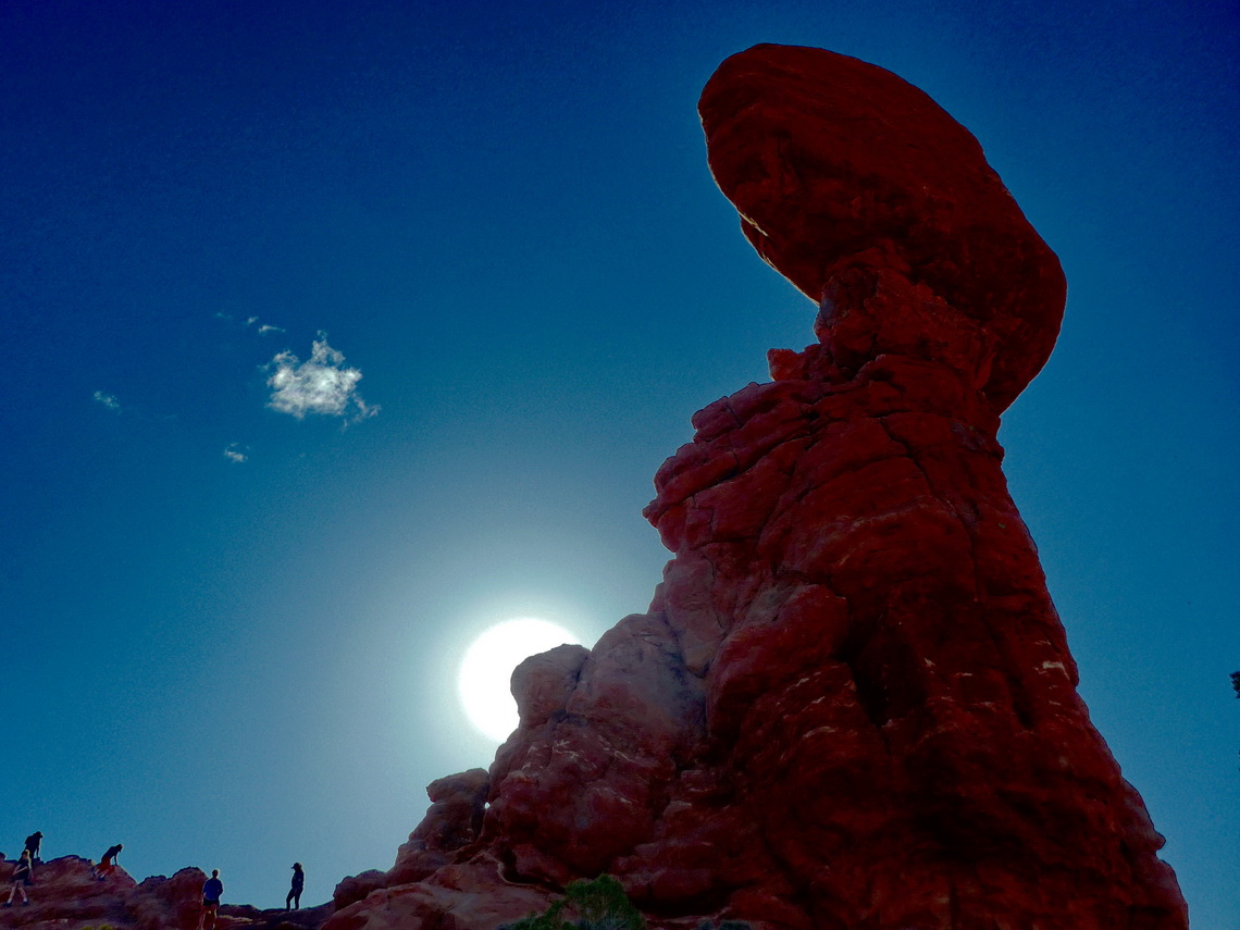
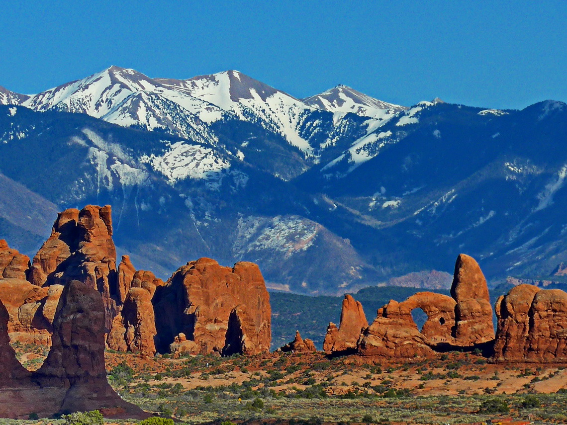
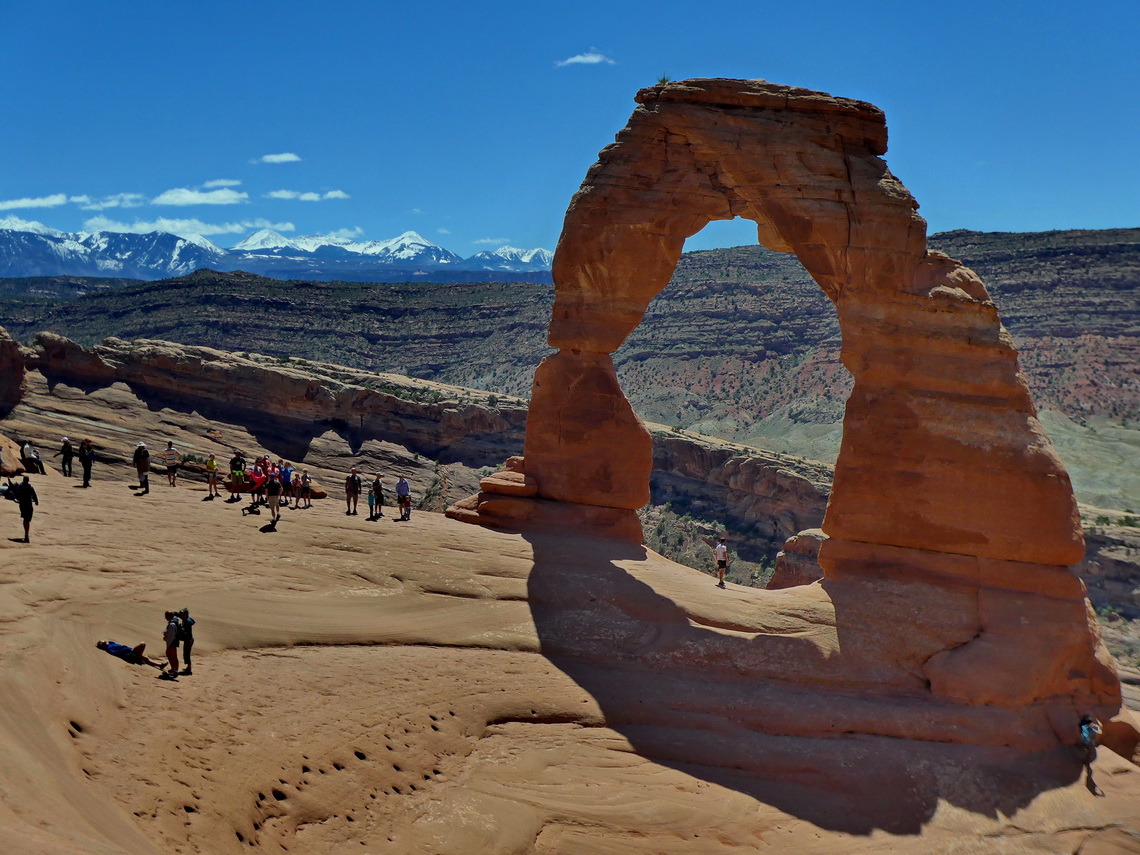
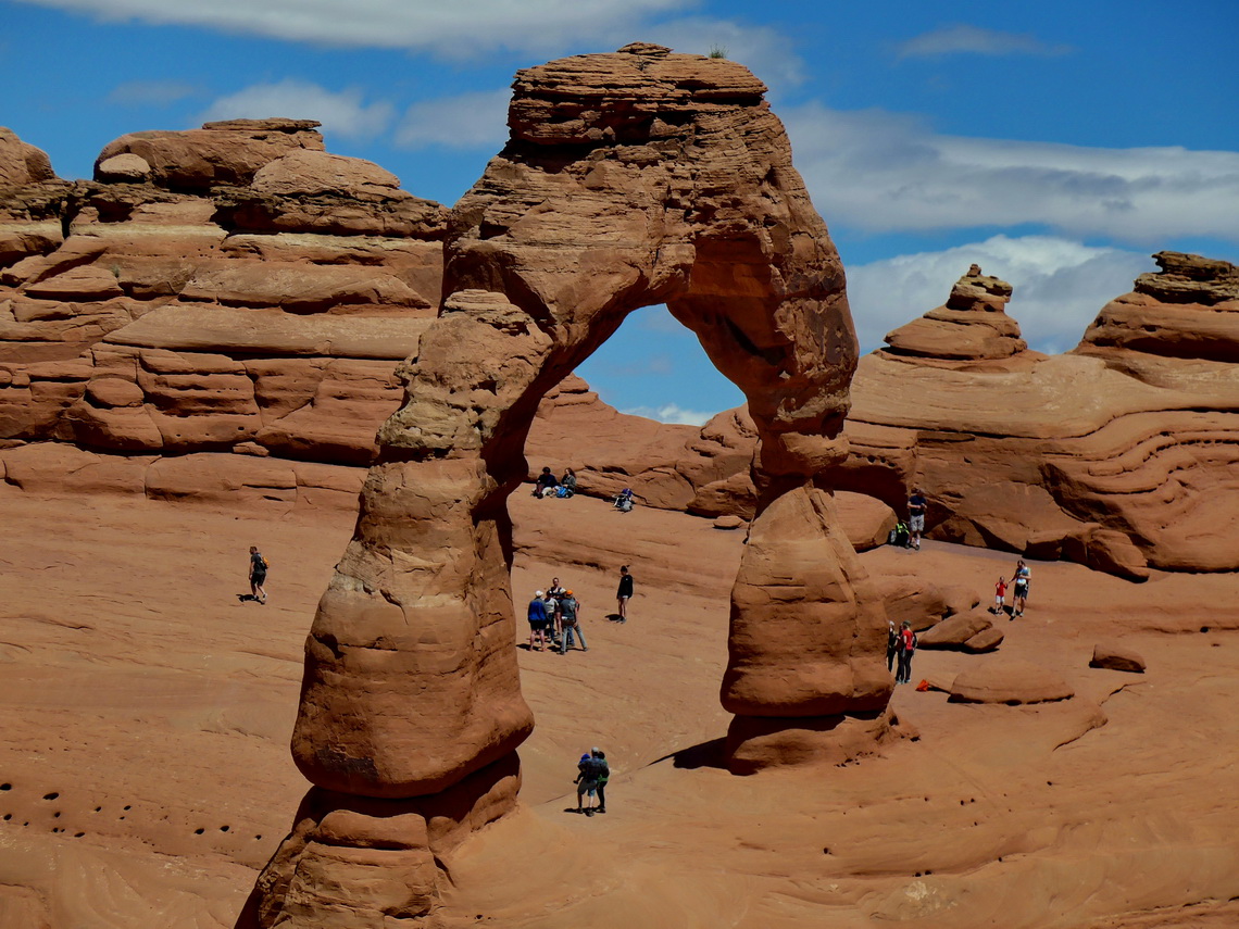
We had the feeling that Arches National Park visited 10 times more people than Canyonlands. However we spent two wonderful days in the park which has the densest concentration of natural bridges on earth. Over 2000 arches are cataloged with a span between 1 and 88 meters. Famous Delicate Arch is the star of the park and the national symbol of Utah seen on many car plates.
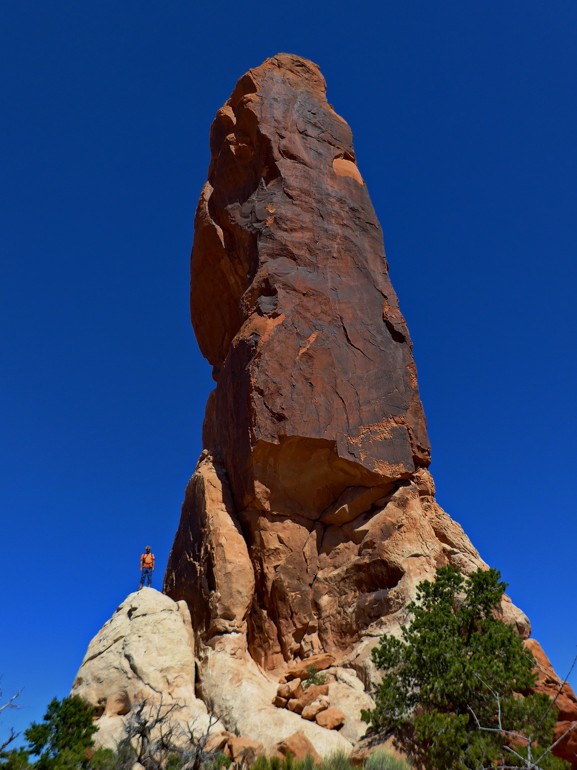
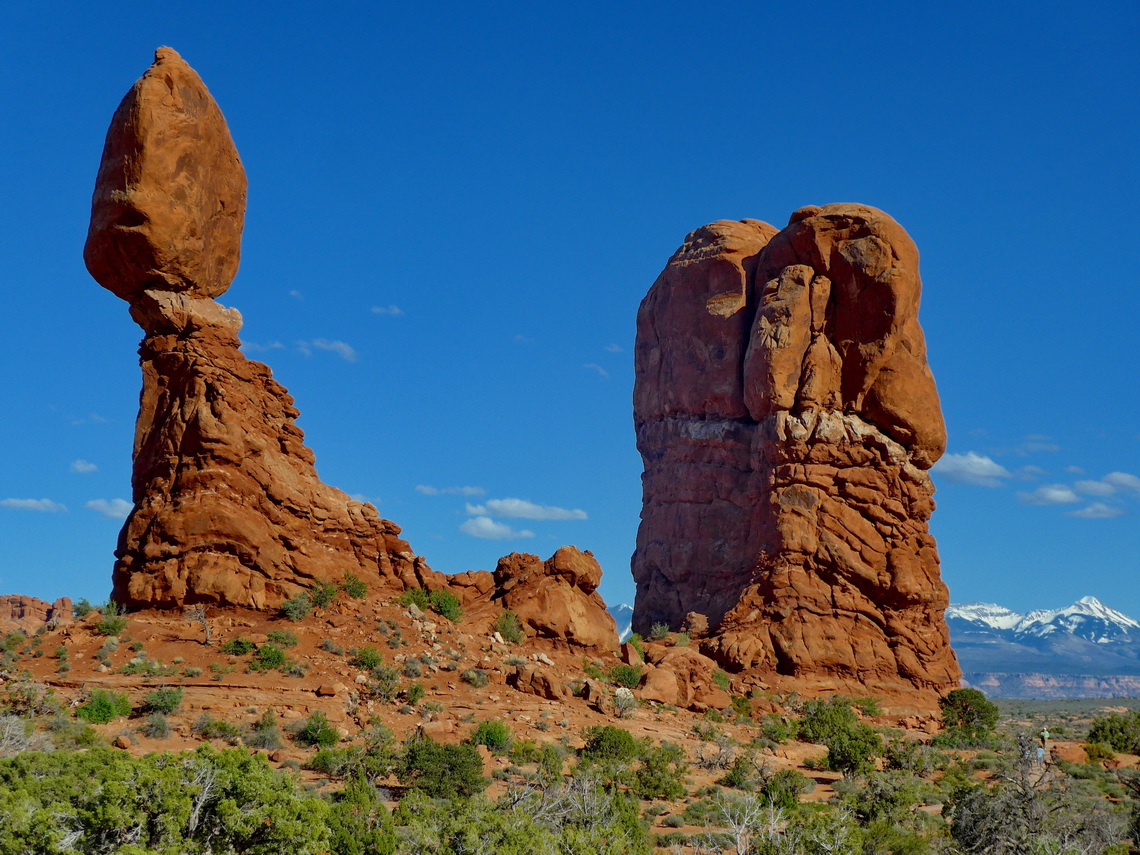
Other scenic spectacles are towering spires and balanced rocks. Like in Canyonlands there are many hiking opportunities. On our first day we did the 11.2 kilometers long and difficult roundtrip Primitive Trail in Devil's Garden in the northernmost part of the park. We started early in the morning to avoid the crowd which was a very good idea. This trail and way-points of some major arches are included in the GPS coordinates file of Utah. In the afternoon we walked to Broken and Tapestry Arch, and admired the unbelievable Balanced Rock which is nearby the main road through the park.
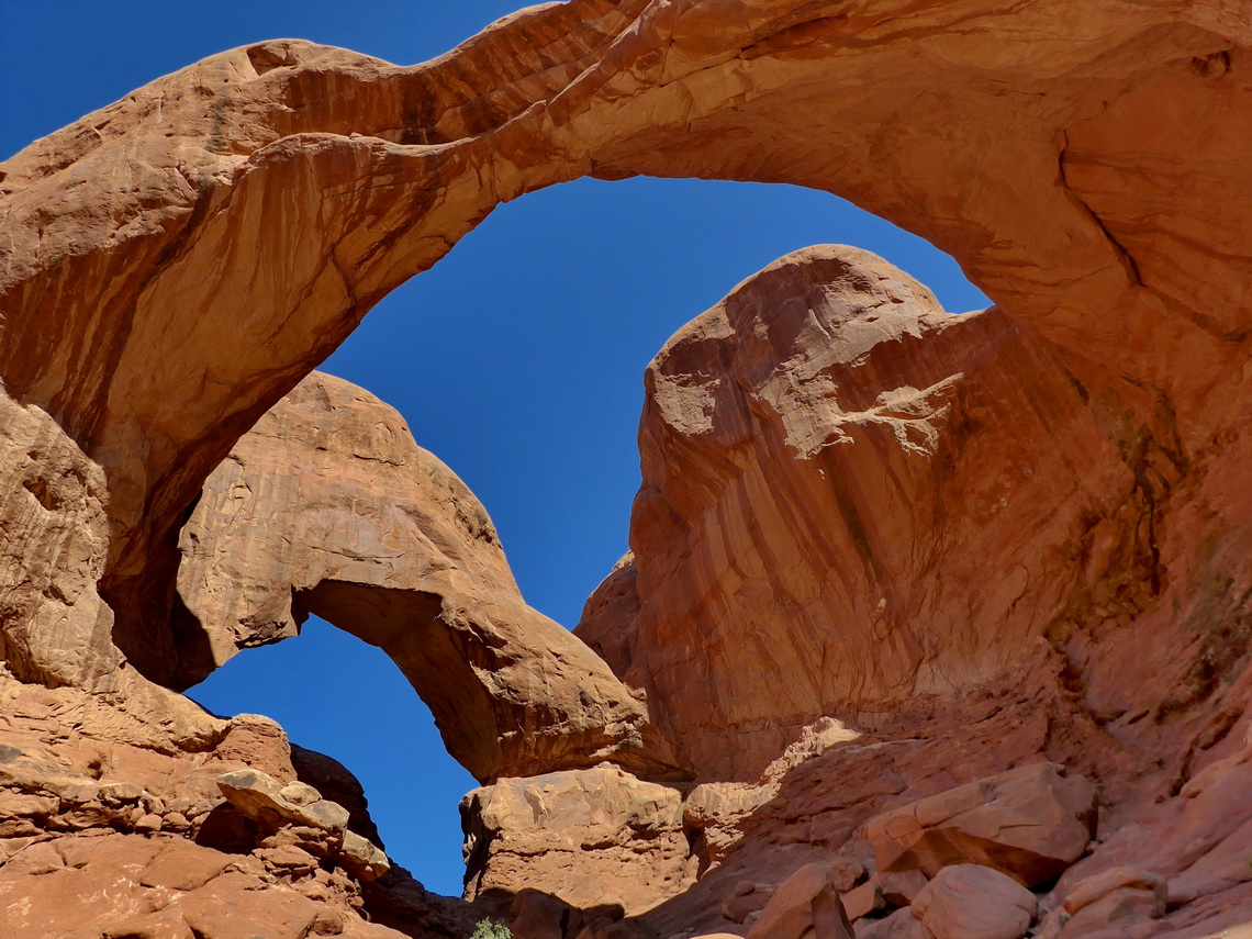
On the the second day we hiked to the Double Arch, Windows and of course to Delicate Arch from the former Wolfe Ranch. Our 6.3 kilometers long trail with a side path to a little nice summit is included in our GPS coordinates file of Utah. In the late afternoon we walked the pleasant and short Park Avenue Trail up and down.
For more pictures, please click here For a map of our itineraries, click here
To download the GPS coordinates files of Utah and Colorado, click here


