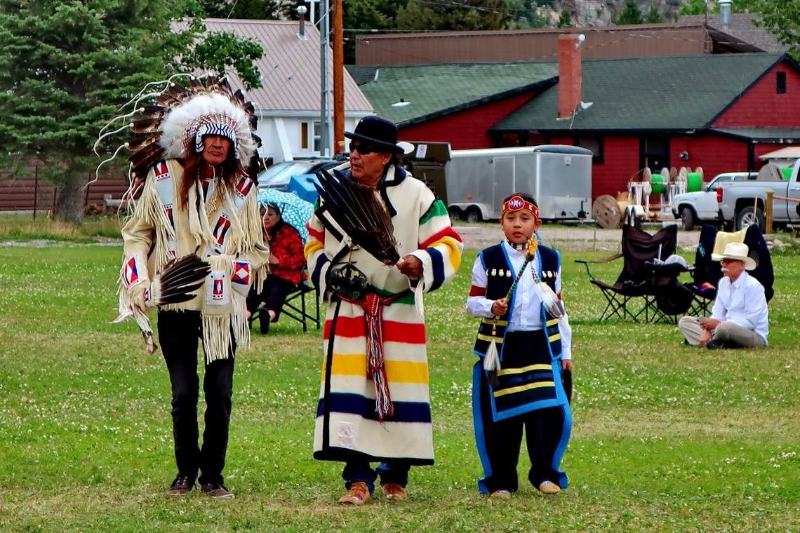
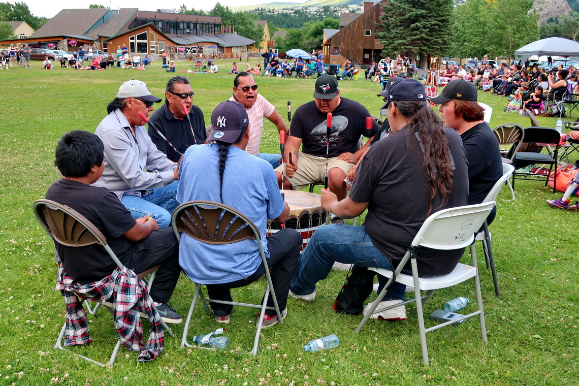
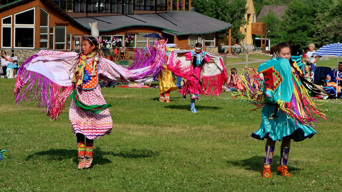
On July 24th 2018 we crossed the border to Canada via the International Peace Park World Heritage Site Waterton - Glacier. Firstly we drove to Waterton Village to check the actual conditions in the Waterton National Park. It turned out that all streets and most of the trails were closed due to a huge fire last September. Still we were lucky because there was an impressive Pow Wow festival of the Blackfoot Indians, an unforgettable experience for us.
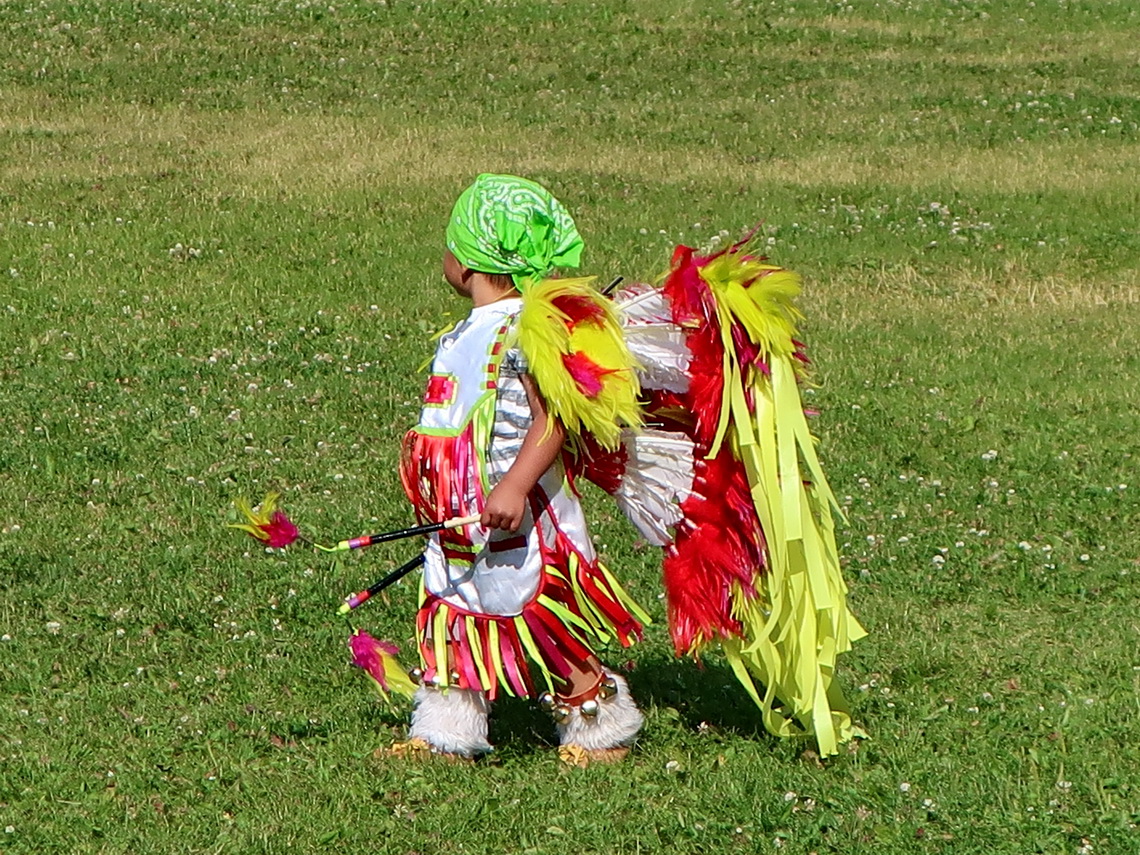
There was dancing the whole afternoon including many kids supported by drumming. The costumes were very colorful and so beautiful.
At night we stayed on a dirt road in front of a fence close to Waterton Village but outside of the National park (GPS coordinates: N49° 07.051' W113° 47.132').
Before we came to Canada we explored the US side of the International Peace Park, the Glacier National Park in Montana. There we hiked up three nice mountains. The first one was 2388 meters high Elk Mountain where we met just one Bighorn Sheep close to the summit. We found a nice campsite on the Skyline Road which is few kilometers northeast of the trailhead (GPS coordinates: N48° 17.988' W113° 22.802').
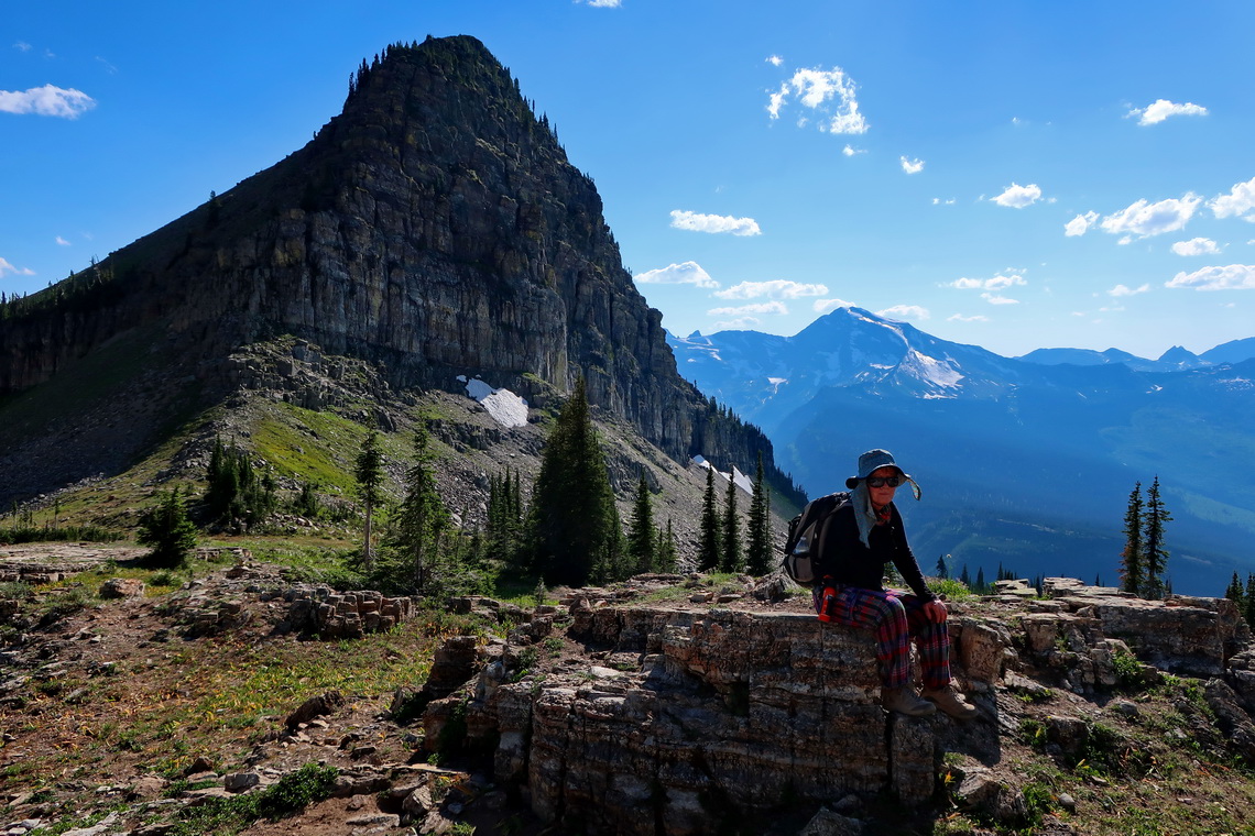
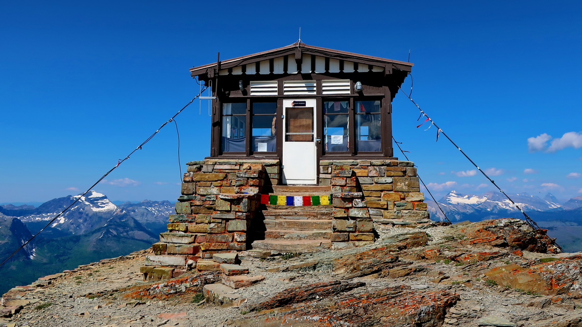
On the next day we drove the famous Going-to-the-Sun Road from West to East. Fortunately we caught a parking space on Logan Pass which is with 2025 meters sea-level its highest point. We hiked the highline trail to the saddle between 2282 meters Haystack Butte and Gould Mountain. A small trail leads the last part to the summit.
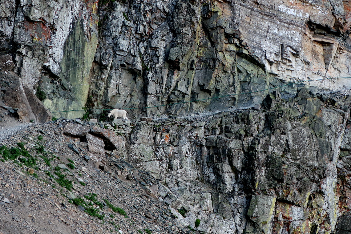
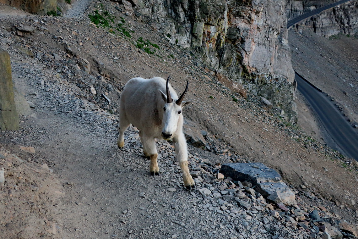
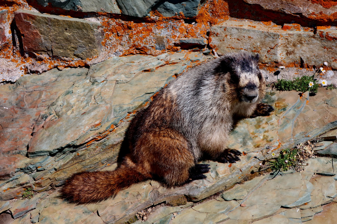
When we nearly back to our little motor-home we enjoyed a scary surprise in the steep and rocky part of the trail.
The eastern part of the Going-to-the-Sun Road was heavily impacted by damages caused by the September 2017 fire. Maybe this was the reason that we saw first a Grizzly and second a Black Bear Sow with a Cub walking along the street at dawn.
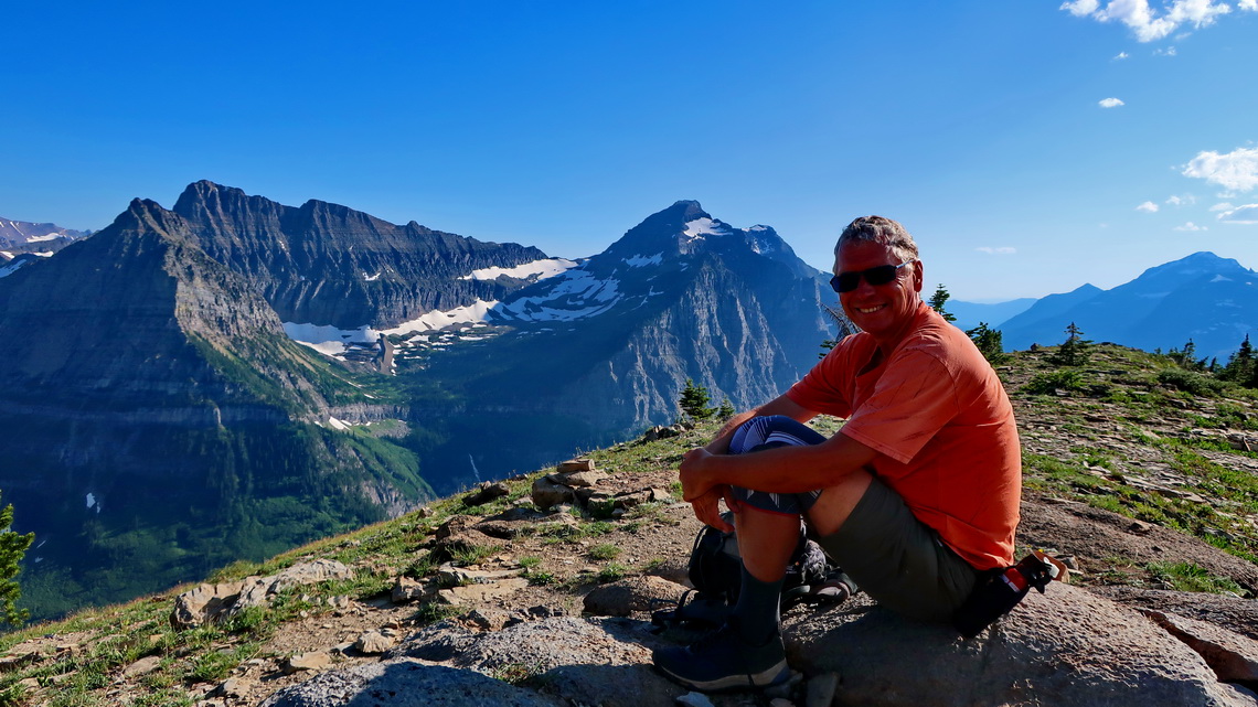
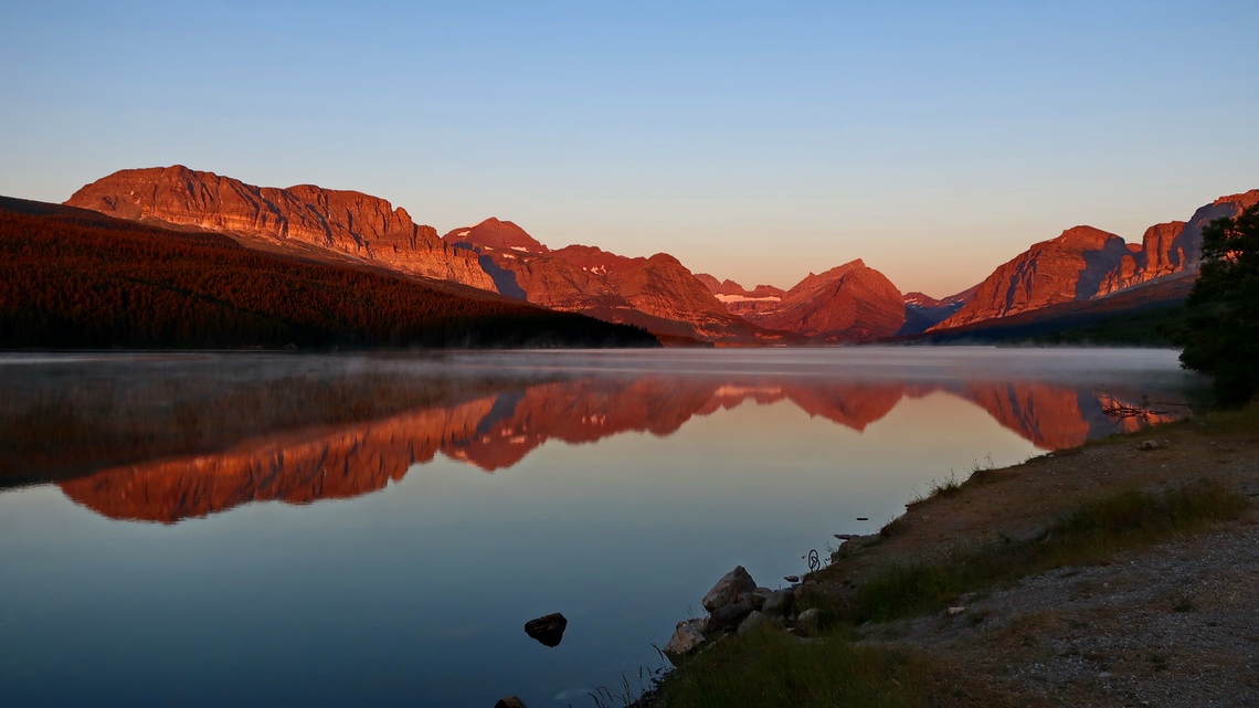
There was a traffic jam early morning when we entered the Many Glaciers Section of the National Park. Fortunately nearly everybody was waiting in front of the campsite to catch a place. Literally nobody was heading to Swiftcurrent Pass, which is a quite long hike of 12 kilometers. Alfred continued to 2571 meters high Swiftcurrent Mountain which provided stunning views.
Our tracks of these three mountains climbs are included in our GPS Coordinates file of Montana.
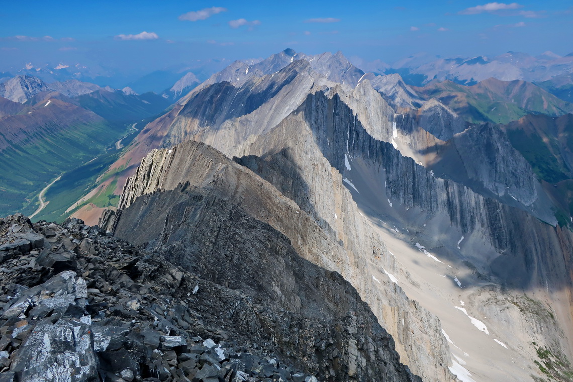
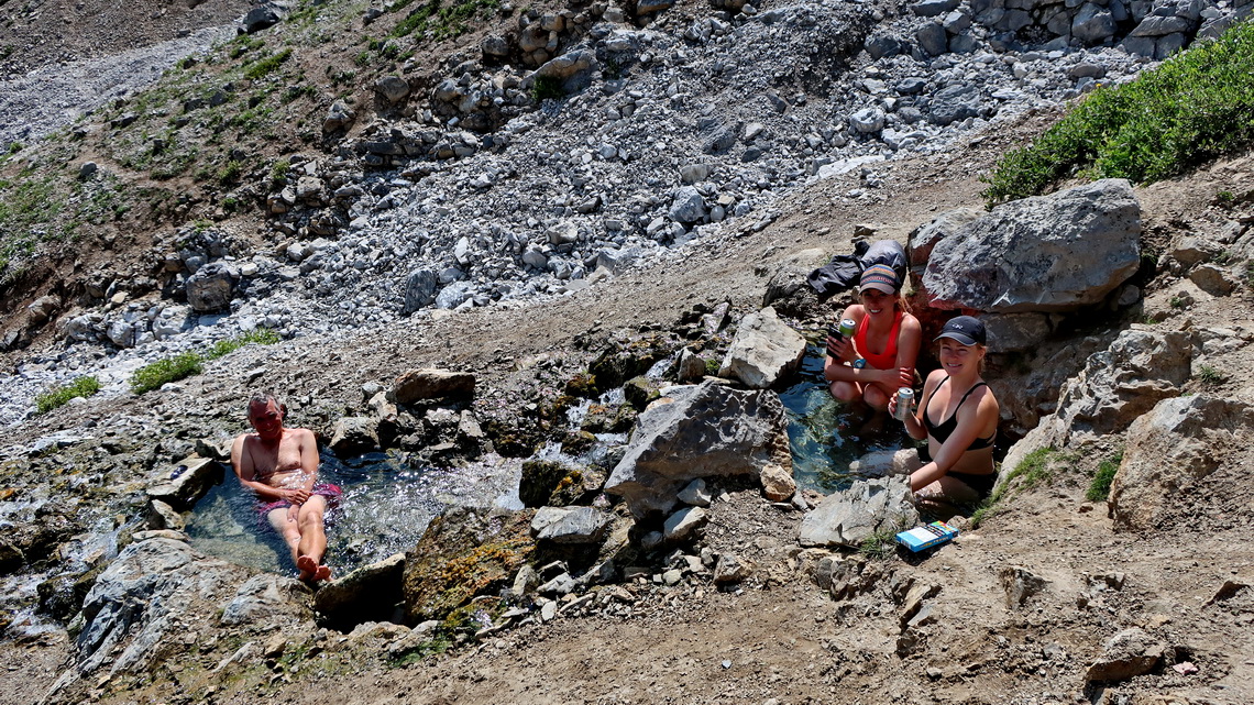
From Waterton Village we drove north the Forestry Trunk Road, which is not paved but in good condition. There are many nice campsites along this street. After approximately 100 kilometers the Forestry Trunk Road becomes Highway 40 which is perfectly paved and we were in higher mountains. At 3:00 AM we started to 2560 meters high Mount Lipsett. Our intention was to continue to 3139 meters high Mist Mountain. Half an hour before we came to the summit we saw a huge Grizzly in the valley between Mount Lipsett and Mist Mountain. It was so impressive seeing that huge beast awaking in the morning, tolling and strolling around in the distance. But we did not dare to continue to Mist Mountain. Instead we hiked the southern trail to Mist Mountain on the next day. An outstanding highlight were the free and cozy hot springs which we enjoyed extensively on our descent.
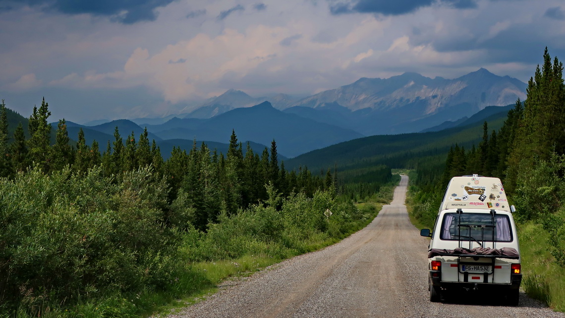
We slept at the trailheads of Mount Lispett and Mist Mountain. There was no traffic or other noise in the night. Both tracks are included in the GPS coordinates of Alberta. There is the huge Stoney Nakoda Resort and Casino on the intersection of Highway 40 with the Trans Canada Highway no 1, which welcomes campers free of charge. Its huge parking looked like a campsite (GPS Coordinates: N51° 06.156' W115° 00.844').
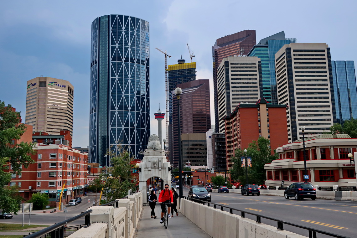
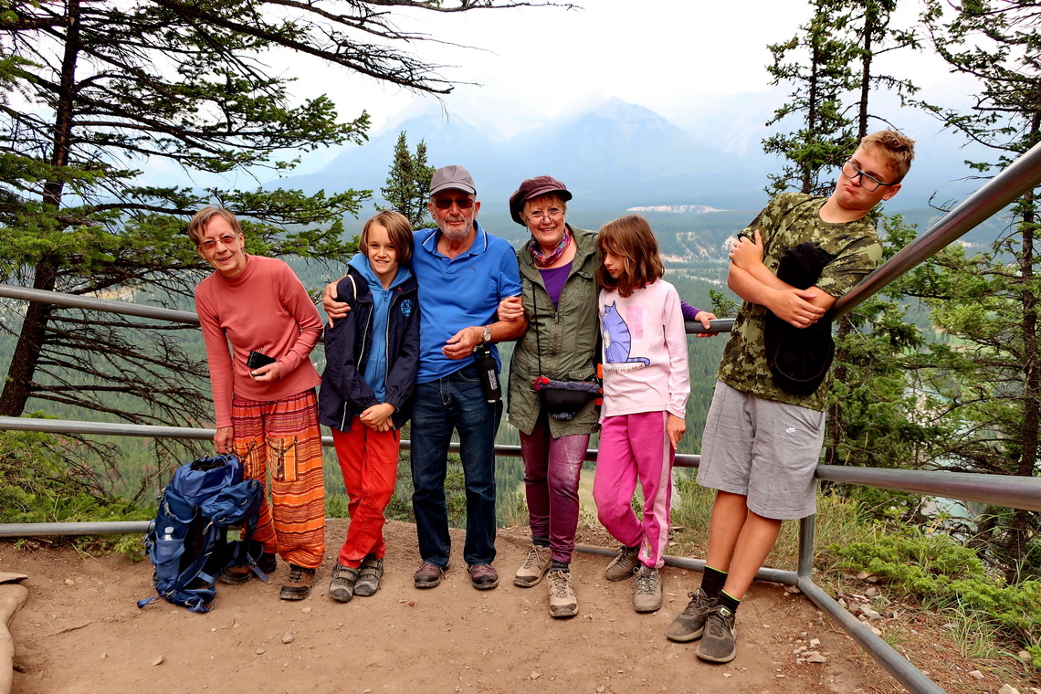
We found also a very nice parking lot for the night in Calgary close to the Bow River, where we spent several nights (GPS coordinates: N51° 03.869' W114° 09.125'). We were more than happy that Jutta, Rosemarie, Hermann, Jay and Kuba joint joint us in Calgary. Their flight from Germany had more than 4 hours delay. Thus they were a little bit tired when they arrived close to midnight. All together we stayed two nights in the Hotel Clique close to the airport before we picked up the motor-home Jutta and Hermann had rented. On the first day we explored Calgary. Our visitors suffered a little bit from the jet-lag but the kids were so brave!
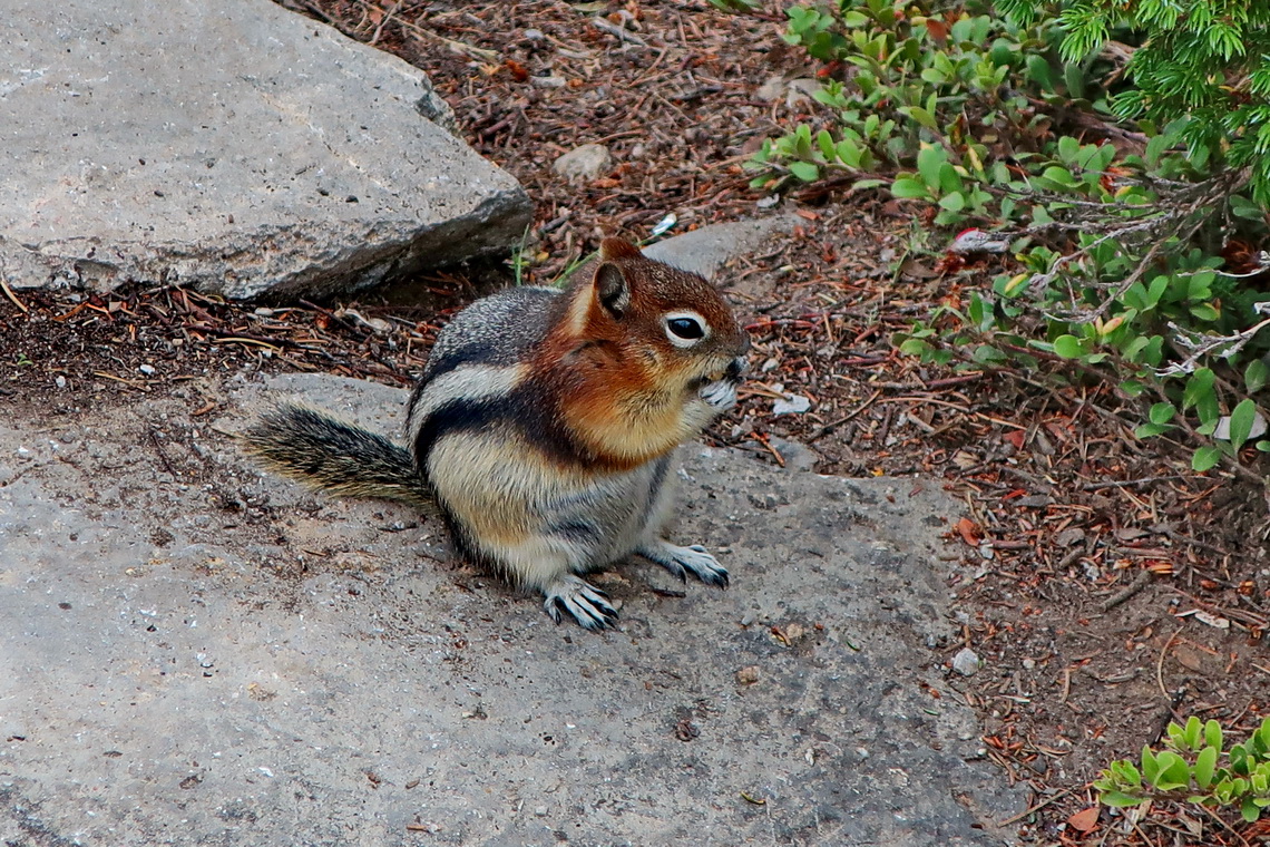
Our first destination was Banff National Park where we climbed up 1692 meters high Tunnel Mountain. The kids were fascinated by the many and different Squirrels on the summit. In addition we found two Geocaches on Tunnel Mountain. After Tunnel Mountain the kids wanted to go to McDonalds where they consumed incredible much food. At dawn we enjoyed the nice but crowded Upper Hot Springs of Banff.
Finding a proper sleeping place was chaotic because every campsite was full and it is prohibited to stay overnight on all parking lots of Canada's National Parks. Finally we stayed on the parking lot of the overflow campsite of Lake Louise because there were many other campers, too. We paid more than 20 Dollars but were waked in the early morning by a man shouting that we have leave immediately. Everybody was still sleeping and we had a real mess. Fortunately we found two free spaces on the real overflow campsite, where we took a great breakfast. All kids were hungry like wolves.
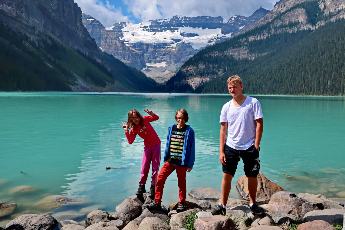
We left the car on the overflow campsite and took the free shuttle bus to Lake Louise. The kids were excited because the busses were the yellow school busses of Canada. Again Lake Louise was a disaster of people and parking space, and we were happy coming by the shuttle. We hiked nearly the whole day a 12 kilometers long circle including the summit of 2270 meters high Big Beehive Mountain. Again the kids were very brave and hungry when we came back to our campers.
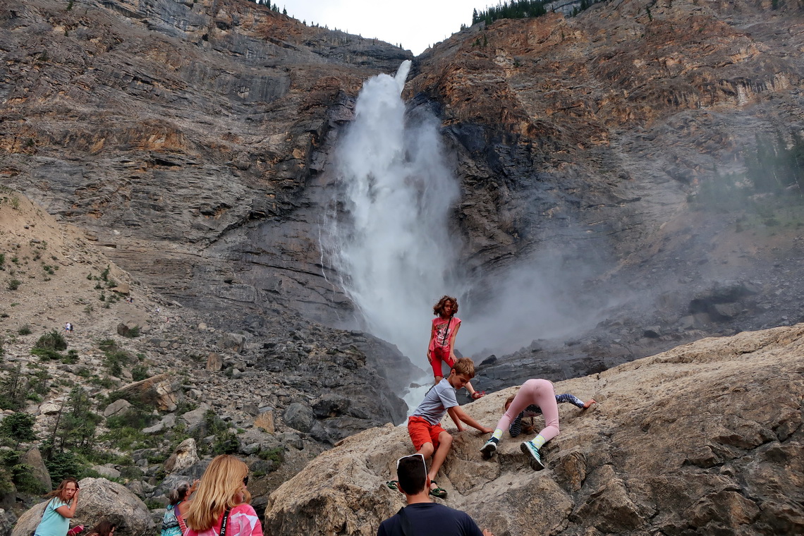
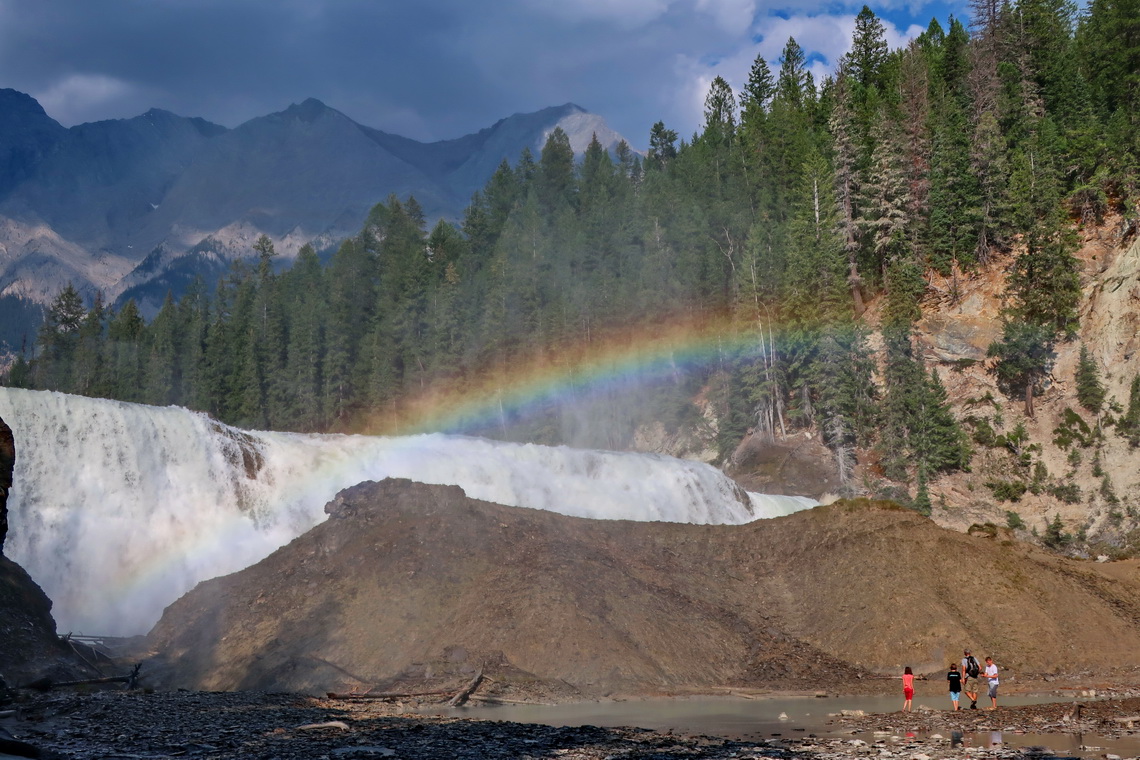
Both tracks are included in the GPS coordinates of Alberta. We decided to head westwards the Trans Canada Highway in direction Vancouver because there were too many people in the National Parks for our taste. The next day was the waterfall day because we hiked to two very impressive cascades.
Close to the Wapta Falls is a nice and free campground on the Beaverfoot Road Bridge directly on shore of Kicking Horse River (GPS coordinates: N51° 13.954' W116° 39.202').
For more pictures, please click here For a map of our itineraries, click here
To download the GPS coordinates files of Alberta and Montana, click here


content, except this blog gives feature based articles.