Marion and Alfred Marion and Alfred
  • Home
  • Itineraries
    • Africa
      • Tanzania
    • Central America
      • Belize
      • Costa Rica
      • Guatemala
      • Honduras
      • Nicaragua
      • Panama
    • North America
      • Canada
      • Mexico
      • United States
    • South America
      • Argentina
      • Bolivia
      • Brazil
      • Chile
      • Colombia
      • Ecuador
      • Paraguay
      • Peru
      • Uruguay
    • From Hamburg to Buenos Aires
    • Asia
      • Cambodia
      • Laos
      • Thailand
      • Vietnam
    • Europe
      • Italy
      • Scandinavia
      • Spain
  • Mountains
    • Africa - Overview
    • Central America - Overview
    • North America - Overview
    • South America - Overview
    • Asia - Overview
    • Europe / Scandinavia - Overview
  • Pictures
  • Maps
    • Map Africa - Tanzania
    • Map America Entire
    • Map Central America
    • Maps North America
      • Alaska and Canada - West
      • Mexico
      • United States - Northwest
      • United States - Southwest
    • Maps South America
      • South America - Northwest
      • South America - Central
      • South America - South
    • Map Southeast Asia
    • Maps Europe
      • Italy
      • Portugal and Spain
      • Scandinavia
      • Spain - Mallorca
  • GPS Coordinates
    • Africa
    • Central America
    • North America
    • South America
    • Asia
    • Europe
  • Guestbook
  • About
    • About Marion and Alfred
    • Chronology
    • Newsletter
    • Contact
  1. You are here:  
  2. Home

Northern Thailand - Between Chiang Mai and Chiang Rai

Empty
  •  Print 
  • Email

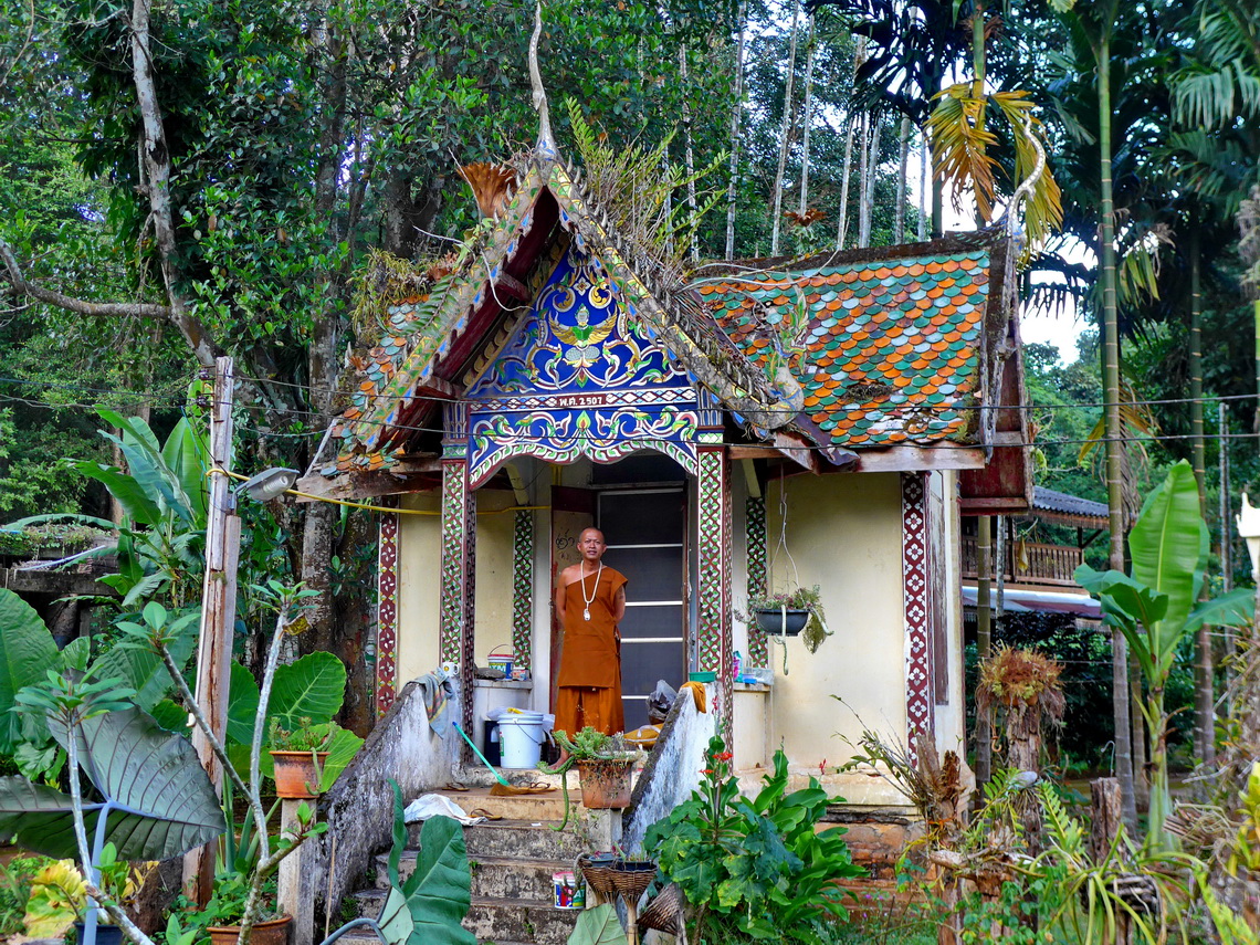
Northern Thailand is much cooler than the rest thanks to its higher sea-levels. For us it was nearly unbearable hot and humid in Bangkok after our arrival on November 8th 2017 and we decided to head northwards. Two days later we took the train from Bangkok to Chiang Mai. The engine broke half the way and we had to wait for another one. So we arrived at Chiang Mai at 6:00h early morning instead of midnight after spending 17 hours in the train. But the trip was worth because we felt immediately in love with the green, lush and mountainous landscape adorned with nice cities and beautiful temples.

Little colorful temple with monk

Read more ... Add new comment

Koh Chang - A beautiful island in the Gulf of Thailand

Empty
  •  Print 
  • Email

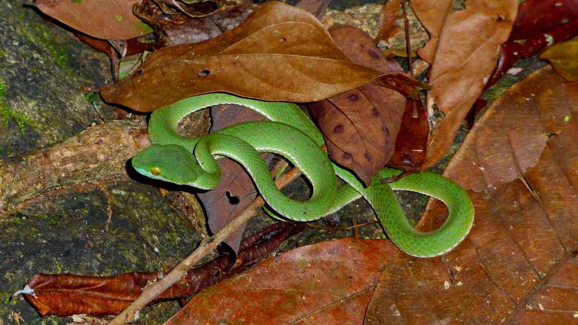
Thanks to an excellent offer of Etihad Airlines we decided to fly to Thailand in November 2017. We spent two weeks in northern Thailand and traveled between Chiang Mai and Chiang Rai (see next article: Between Chiang Mai and Chiang Rai). The third week we were on the beautiful island Koh Chang on the northeastern corner of the Gulf of Thailand close to the Cambodian border.

Venomous Big-eyed Pit-viper in the jungle of Koh Chang


When we came to Bangkok in the late evening we were so tired on the next day that we slept until lunch time (six hours time difference to Germany!). We stayed in the low budget hostel Marin Inn in Bangkok's Chinatown. When we explored this quarter a tuk-tuk driver (three wheeler taxis based on mopeds) offered us to show us for little money some interesting places. First we saw some nice temples. We refused a shopping mall and asked him to head to the port of mighty river Mae Nam Chao Phraya. He drove to an touristic port where the agency wanted more than 100U$ for a 2 hours cruise on the river.

Read more ... Add new comment

Las Vegas and three National Parks of southern Utah

Empty
  •  Print 
  • Email

Las Vegas bills itself as The Entertainment Capital of the World for its innumerably casinos, huge resorts and fancy shows and other leisure activities. More than 40 millions tourists come to Las Vegas every year, also many couples for marriage which is quite easy in there.

Before we came to Las Vegas beginning of May 2017 we visited the outstanding National Parks Capitol Reef, Bryce Canyon and Zion of southern Utah.

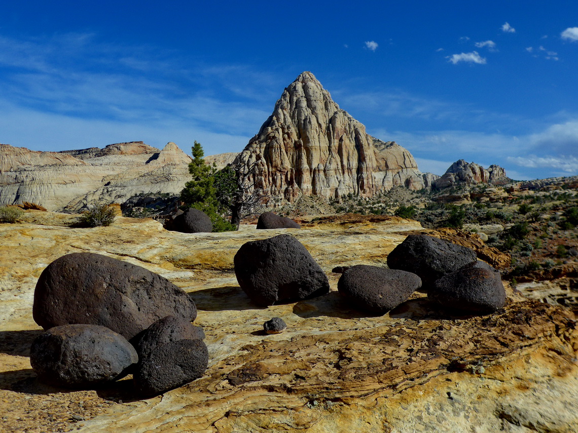
Pyramid with black lava stones in the Capitol Reef National Park


Capitol Reef's defining feature is a wrinkle in the Earth's crust extending more than 150 kilometers from Thousand Lake Mountain to Lake Powell. It is a classical one-sided fold with a formidable barrier in the east like a barrier reef in an ocean.

Read more ... Add new comment

Arches, Canyonlands and Mesa Verde National Parks

Empty
  •  Print 
  • Email

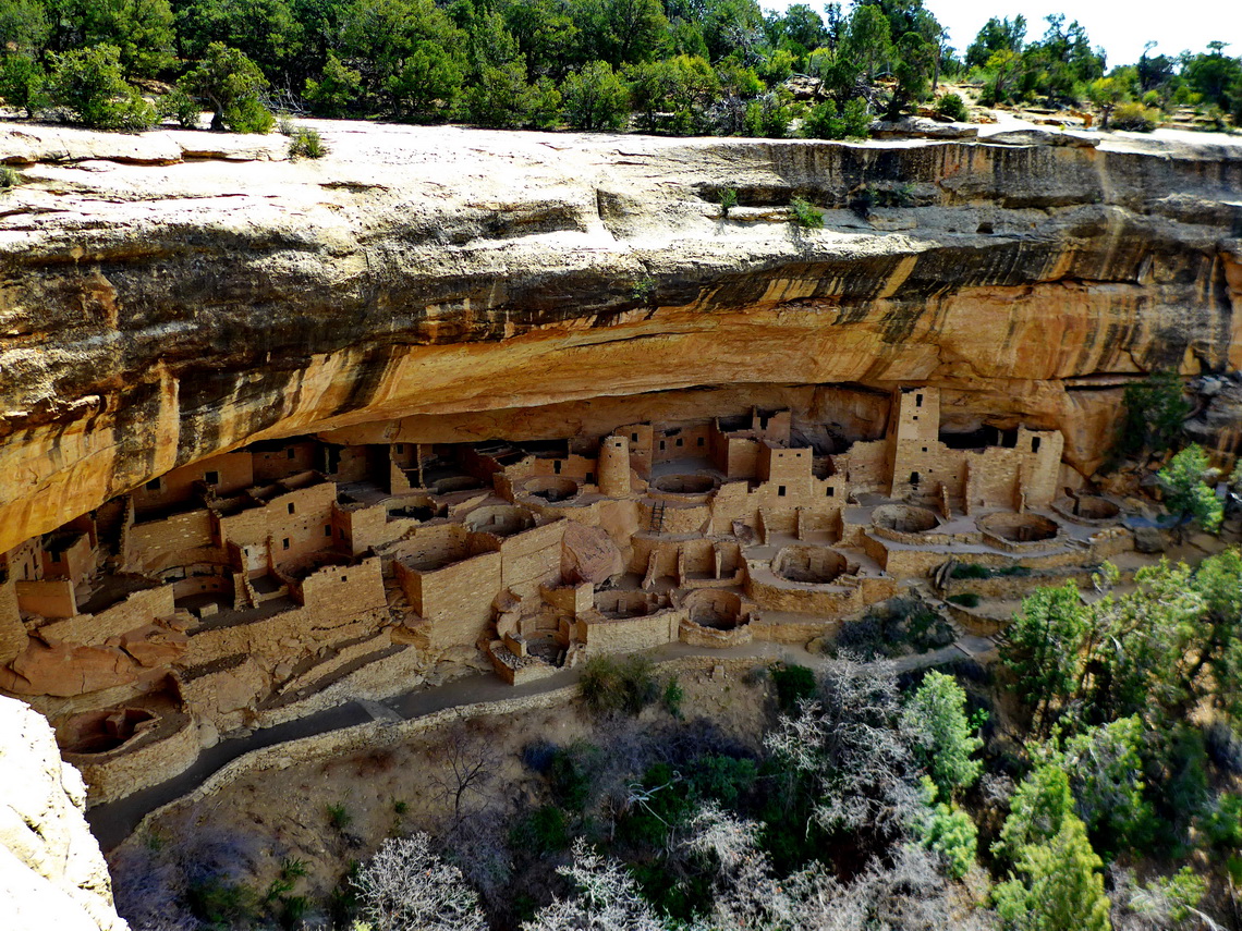
The Southwest has the highest density of National Parks within the United States of America. Arches and Canyonlands are wonderful natural treasures in Utah. Outstanding is the Mesa Verde National Park in the southwest corner of Colorado with its stunning cliff dwellings built by the Ancestral Pueblo People between AD 1150 and 1300. To our mind this World Heritage Site is in line with Machu Picchu in Peru and the Maya pyramids in Yucatan / Mexico.

Cliff Palace which is with 150 rooms and 23 kivas (round sunken rooms of ceremonial importance) the largest cliff dwelling in North America


There is a nice dry campsite on public BLM lands few hundreds meters outside of the National Park where we stayed free of charge three pleasant nights (GPS coordinates: N37° 21.569' W108° 25.371').

Read more ...

New Mexico

Empty
  •  Print 
  • Email

The beautiful and pristine state New Mexico has a lot of different landscapes: Dry deserts and wilderness, lush valleys, and tall and snow-capped mountains.

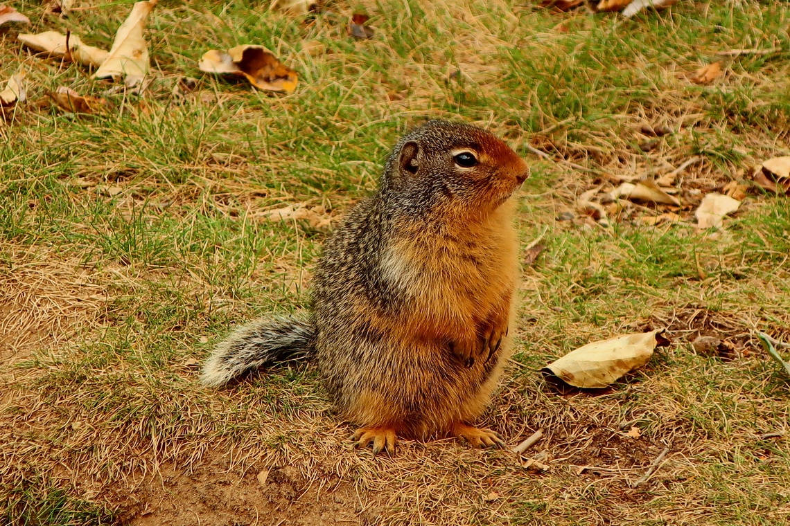
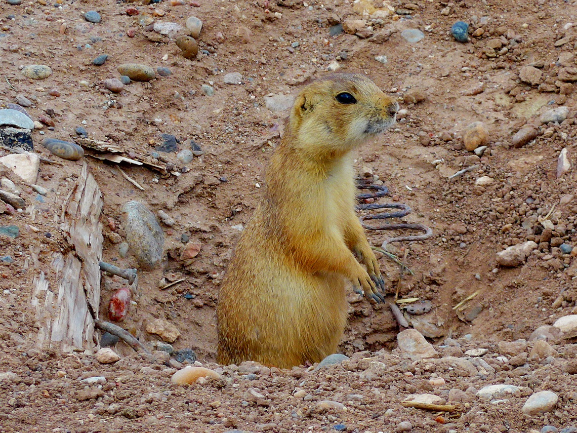
Prairie Dog  

And it is full of history. The first nuclear bomb was developed and tested in its southern deserts. New Mexico's capital Santa Fe was the hub of the railway in the late 19th and early 20th century which connected the East and West of USA. Most fascinating is the Indian art and culture of the indigenous people. The World Heritage Site Chaco is in line with southern touristic magnets of the Maya and Inca monuments. The Anasazi people built a lot of villages, cliff dwellings and cave houses mainly between 800AD and 1100AD.

Read more ... Add new comment

Texas Southwest

Empty
  •  Print 
  • Email

The 2nd largest state of the United States Texas is not famous for mountains but for its oil, cattle, prairies, pastures, deserts, nice beaches, heat and huge cities like Dallas or Houston. In is southwest corner we found some interesting peaks in the two National Parks Big Bend and Guadalupe.

On March 9th 2017 we crossed the border from Mexico to the busy town Del Rio without any issues. Our first stop was the supermarket Walmart because we were curious about fresh food which we could not take over the border. Jesus, the prices for food were shockingly high in comparison to Mexico or Germany. In the afternoon we hiked the Sunrise Trail from the Visitor Center of the Amistad National Recreation Area. The views to the Amistad Reservoir were excellent.

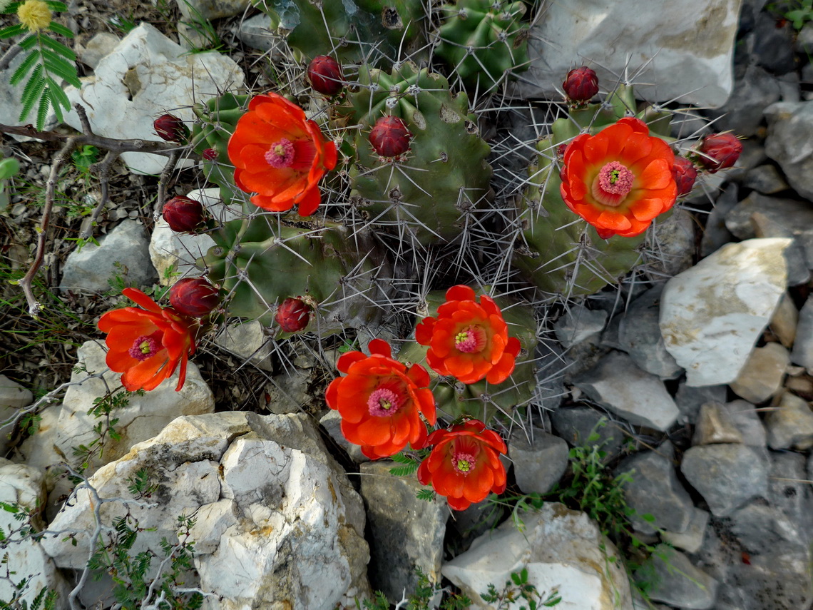
Blooming Cactuses

Read more ... Add new comment

Sierra Madre Oriental

Empty
  •  Print 
  • Email

Majestic Sierra Madre Oriental stretches more than 1000 kilometers from the border with USA to northern Puebla in central Mexico. West of this range is the huge Chihuahua desert in its northern part, east are the Mexico's Gulf coast plains. Sierra Madre Oriental is famous for its rich biodiversity. Large pine-oak forests are found up to the highest mountains with more than 3700 meters sea-level. Limestone dominate its geology. Huge caves, sharp pinnacles and steep walls are common. Nearly in its center is the metropolis Monterrey, which is with more than 4.5 million inhabitants the third biggest city of Mexico.

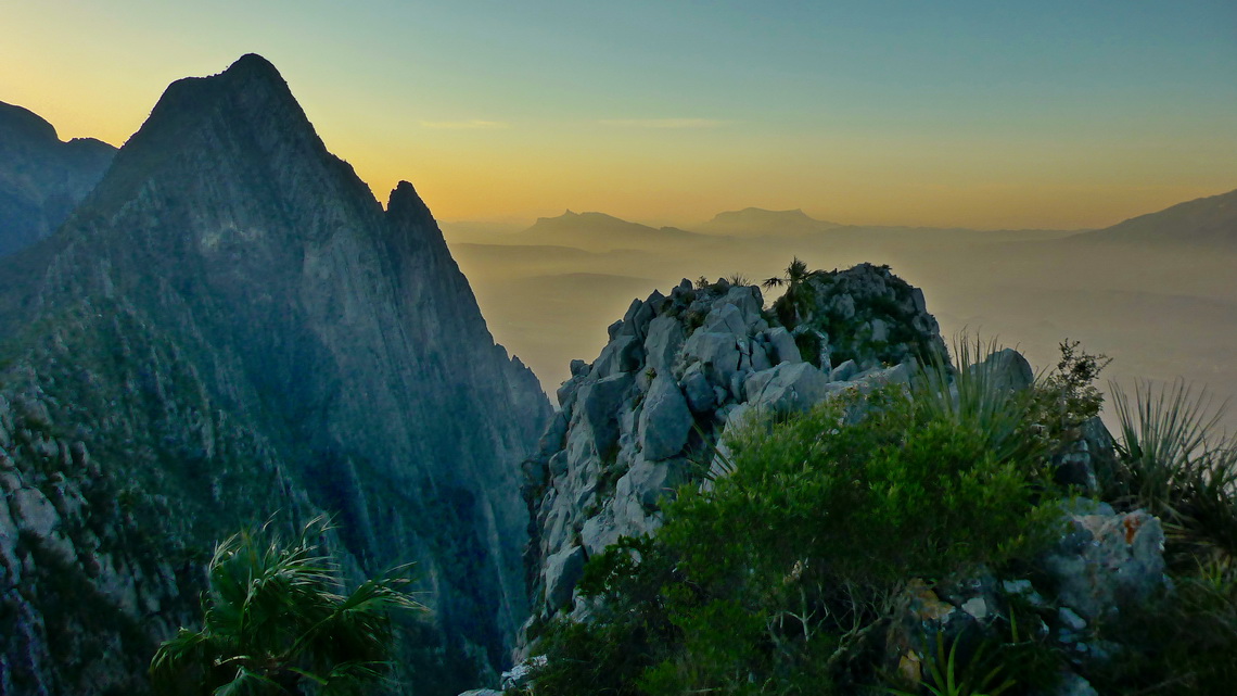
Western view from 1482 meters high Cerro Toro, which is few kilometers northwest of Monterrey


Its tallest peak La Viga or Cerro San Raphael (3716 meters sea-level) is covered sometimes by snow in winter. It can be climbed up by a strenuous hike of 5 hours from the saddle east of the little village Los Lirios. We were very lucky because it started snowing when we returned to our car.

Read more ... 1 comment

Barrancas del Cobre and Chihuahua

Empty
  •  Print 
  • Email

Magical Copper Canyon - Barrancas del Cobre in the majestic Sierra Madre Occidental is the major attraction in northern Mexico. It is a mazy system of seven major canyons with a depth up to 1,800 meters. Grand Canyon in Arizona / USA is four times smaller and less deep! In its area live the Tarahumara people which are famous for their running endurance: Some are capable to run few hundred kilometers and more than 20 hours without a break!

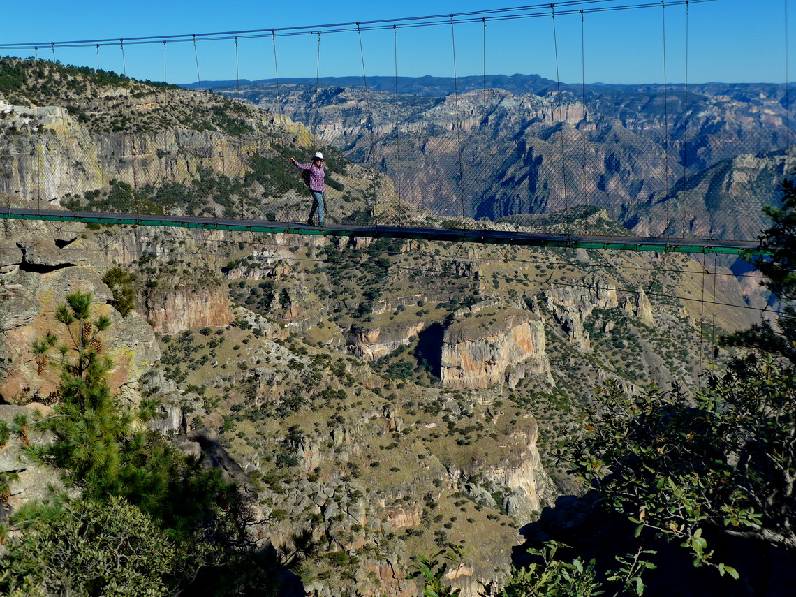
Marion on a suspension bridge with the main canyon in the background


There is no street through the whole main canyon but a railway with 37 bridges and 86 tunnels which connects Los Mochis on the Pacific Ocean with Chihuahua in the desert with the same name. The train is called El Chepe after the first characters of Chihuahua and Pacific. Driving with this train through Copper Canyon is a must to do for tourists in northern Mexico.

Read more ... 1 comment

Central Pacific Coast

Empty
  •  Print 
  • Email

Mexico's Central Pacific Coast is a marvelous piece of nature with a lot of pristine beaches, calm bays, little fishing villages and some dramatic landscapes. Mazatlán and Puerto Vallarta are the largest cities, both with fabulous beaches and many tourists.

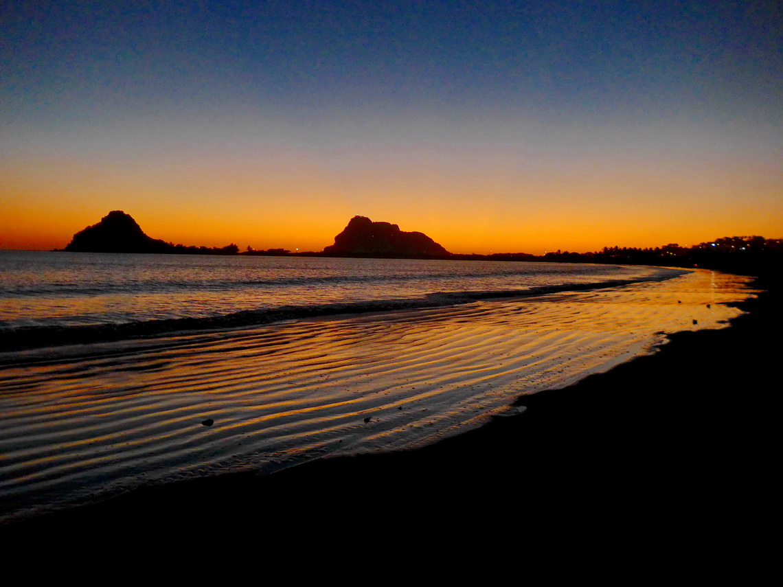
After sunset on the southern beach of Mazatlán


200 kilometers East of Puerto Vallarta is Mexico's second biggest city Guadalajara with more than 5 millions inhabitants. It is a bustling metropolis with a picturesque old town in its nice center.

Read more ... Add new comment

Sweden Central

Empty
  •  Print 
  • Email

Central Sweden offers a lot of hiking and mountaineering capabilities along its border to Norway and on the coast of the Baltic Sea. In between the landscape is relatively flat covered by huge forests and with some nice villages and little towns. Its capital Stockholm is located on the coast of the Baltic sea. It is a bustling metropolis with 2 millions inhabitants, a lot of interesting culture, many green parks and some impressive waterfronts.

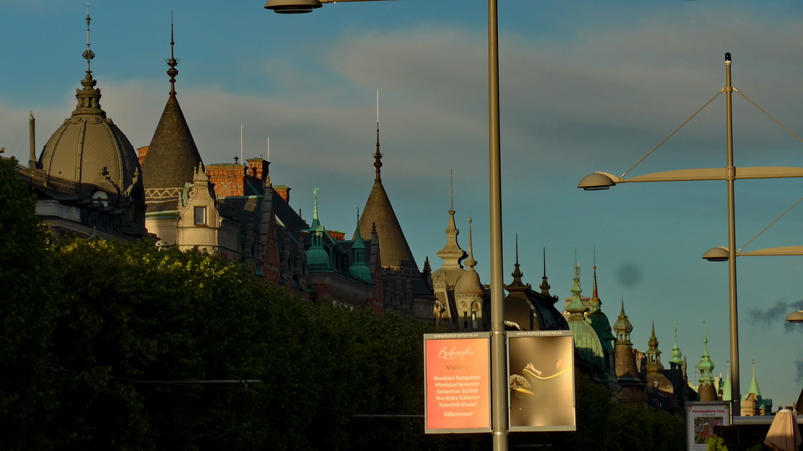
Roofs of the street Strandvägen of Stockholm


After we had crossed the border from Norway on the E14 we turned on the first southern street right and continued to the mountain hut Storulvåns. There was a big parking lot and it was nearly fully occupied. The mountain hut is like a little village with a large hotel including some big buildings.

Read more ... Add new comment

Norway - Jontunheimen, Kristiansund and Trondheim

Empty
  •  Print 
  • Email

In Jontunheimen are the tallest peaks of Scandinavia up to close 2,500 meters sea-level. This sounds not very high for alpine standards but you have to take into mind that you are much closer to the North Pole. Jontunheimen has some steep, needle-like pinnacles embedded by enormous glaciers and huge lakes. Besides the thinner air these mountains equals summits with 3,300 meters and more sea-level in the Alps.

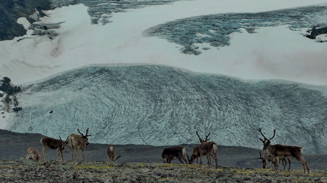
Reindeer with glacier


We decided to head along the eastern side of Jontunheimen because the weather forecast was bad as usual for its western part where the clouds of the northern Atlantic Ocean hit the mountains and stick there. 

Read more ... 1 comment

Norway West - South of Sognefjorden

Empty
  •  Print 
  • Email

Norway in northern Europe and on the western side of the peninsula Scandinavia is a natural treasure with stunning mountains, deep gorges and fjords, uncountable waterfalls, huge glaciers, and green lush vegetation at lower sea-levels. Its population is besides the few cities very low, its density of people is the lowest of continental Europe. It's famous for bad weather but we enjoyed a lot of nice days in June and July which is quit often the case. And it never gets really dark in these two months - literally you might start a longer mountain tour in the late evening.

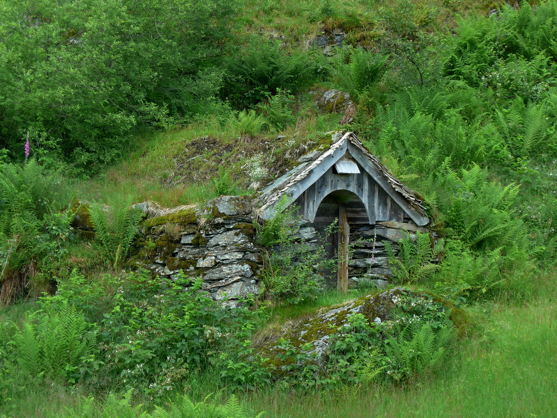
Typical Norwegian Cot


Before we headed to Norway we enjoyed skiing in the Alps beginning of May 2016. There had been lots of fresh powder and the ski slopes on the Schnalstal glacier in South Tyrol, Italy were more or less free of people!

Read more ... 1 comment

Zapotepetl - Nevado de Colima and the state of Michoacán

Empty
  •  Print 
  • Email

In central western Mexico is its most active volcano located: Volcan de Colima erupts several times every day. At the moment access to its top is more than life-threatening but its bigger brother, the more than 400 meters higher summit of Zapotepetl or Nevado de Colima (4268 meters sea-level) can be climbed with some easy rock scrambling. It is less than 6 kilometers away and it provides stunning views of the volcano.

Erupting Volcan de Colima


Before we came to Nevado de Colima we traversed the beautiful state Michoacán. We spent a weekend in the fabulous hot springs Balneario Erendira in its eastern part. A nice campsite is included in the hot springs (GPS coordinates: N19° 45.427' W100° 41.482'). Many younger Mexicans were with us - never ending party on Saturday night!

Read more ... 1 comment

Xinantecatl - Nevado de Toluca

Empty
  •  Print 
  • Email

The large stratovolcano Xinantecatl or Nevado de Toluca is with 4680 meters sea-level the 4th tallest summit of Mexico and the 17th highest point of North America. It has an enormous caldera of 1.5 kilometer diameter which is adorned with two mystic lakes - Lago de la Luna (moon lake) and Lago del Sol (sun lake). A decent dirt road leads up to 4150 meters sea-level close to the caldera, where we camped one night.

Xinantecatl is more a mountain range than a single volcanic cone with several peaks which exceed the 4300 meters mark. Its highest summit, Pico del Fraile is a little bit tricky from the caldera, especially if there is some snow and ice.

Pico del Fraile on the left - the route to its top circles it on the very left


When we were in its base town Toluca it was rainy and stormy. Even some snowflakes came down to the 2600 meters high town which is not quite often the case. Sadly the extraordinary hefty winter gale killed some people because some scaffolds and bigger advertisement billboards crashed. But Toluca had a very nice surprise for us.

Read more ... 1 comment

Mexico Central - East

Empty
  •  Print 
  • Email

The marvelous landscape East of Mexico City is peppered with dramatic and rugged peaks including the three highest summits of Mexico, lush and dense rain forest, arid deserts, beautiful beaches, gorgeous colonial cities, and some industrial hubs like Puebla with its automotive plants.

Citlaltepetl (Pico de Orizaba) which is the highest peak between Colombia and Alaska


We had been in this wonderful country 20 years ago. At that time we had climbed up the volcanoes of Citlaltepetl (5610 meters sea-level) and Iztaccihuatl which are the tallest and third highest mountains of Mexico. In between is Popocatepetl which had been our dream for more than 20 years. But it had been and is still so active that an ascent is life-threatening. Also we had visited the nice cities of Veracruz and Puebla. Thus we concentrated this time on other highlights in this area.

Read more ... Add new comment

Oaxaca and Chiapas South

Empty
  •  Print 
  • Email

Mexico's beautiful southeastern state Oaxaca is very diversified: It has rugged mountains, spectacular pre-Columbian ruins, different indigenous people with various languages, rich flora and fauna, marvelous and deserted beaches on the Pacific ocean.

Our campsite La Habana in Zipolite directly on the beach in the shadows of some nice huts


Before we came to Oaxaca we crossed the southern part of Chiapas and climbed up its highest mountain, Volcan Tacaná (4093 meters sea-level) which is located directly on the border between Mexico and Guatemala. Our arrival in Chiapas was weird, again (see article Chiapas Central and East). This time we had no issues with the Mexican customs.

Read more ... Add new comment

Guatemala

Empty
  •  Print 
  • Email

Guatemala is a tropical paradise with huge mountains up to 4200 meters sea-level. The hot and humid northern part is covered with dense and lush rain forest adorned with some of very exciting Maya ruins like the UNESCO world heritage site Tikal. Central Guatemala is very mountainous with its bigger cities and many villages in its valley. The western range includes some of most active volcanoes on earth, it is part of the Pacific Ring of Fire. 

Marvelous Volcan Santa Maria seen from the ascent to Volcan Tajumulco


Thanks to higher sea-levels Central Guatemala enjoys an eternal spring with comfortable temperatures. The plains of the southern part are hot and humid again but there are some beautiful beaches on the Pacific Ocean. Large sugar cane fields dominate the landscape.

But Guatemala has severe drawbacks. Poverty, violence and crime are common. Its homicide rate is one of the highest of our world. The gap between poor and rich people is unbearable. Thrash is nearly everywhere on its main street. For us it was the most messy country so far in Latin America and we had a scary experience, too. However we spent twice a nice time in this terrific but sometimes dreadful country.

Read more ... 2 comments

Belize

Empty
  •  Print 
  • Email

Belize is a little country on Caribbean Sea with a size of just 22000 square kilometers and 300,000 inhabitants. It was part of the British Empire and became independent in 1981. Hence it is the only state in Central America where English is the official language. Its major attraction is the coral reef along its coast which is the second biggest one on earth and the largest one in the western hemisphere. Sea life is stunning and abundant. Countless tiny islands are in front of its shore.

Spotted Eagle Ray in the shallow water of Sargeant's Caye


Besides the ocean some beautiful Maya ruins and little villages with authentic life are other nice destinations. But accessing this paradise was a little bit difficult because we had to pay a very special toll.

Read more ... Add new comment

Yucatan

Empty
  •  Print 
  • Email

The peninsula Yucatan in the northern east corner of Mexico is a wonderful treasury with magic Maya ruins, marvelous Caribbean beaches with exciting sea-life, nice colonial towns and mystical cenotes. A cenote is a natural sinkhole, resulting from the collapse of limestone bedrock that exposes groundwater underneath. It is a huge platform of limestone with an extreme karst nature. There are no visible rivers but it has the longest known on earth in the subsurface. Consequently the cenotes are and were important for human water supply. They were holy for the Mayas and public access was forbidden.

Like the cenotes you find Maya ruins nearly everywhere. Most famous are the UNESCO world heritage sites Uxmal and Chichen Itzá. The latter one had been elected one of the seven wonder of the world few years ago.

The 39 meters high temple Casa del Advino -The Magician's house of Uxmal


When we entered Yucatan we had a scary experience. Later it turned out that it was less severe.

Read more ... Add new comment

Chiapas Central and East

Empty
  •  Print 
  • Email

Mexico's federal state Chiapas in its southeast corner has a huge diversity as well as flora, wildlife, landscape, culture and people. 12 ethnics live in Chiapas with different languages like the Tzotzil indigenous people in the villages around the town San Cristobal de Casas, a true colonial treasure. It is located 2000 meters high in the cooler highlands which raises up more than 4000 meters sea-level and which is partly covered with large pine forests. The other lower part of Chiapas is pure jungle with nearly unbearable hotness and humidity. Here you find some of the most exciting Maya sites like Palenque, Yaxchilán and Bonampak. The last one has the best preserved pre-Colombian frescoes of whole America, approximately 1200 years old:

Warrior with a shaman who wears a special headgear


But the tropical paradise has its drawbacks. Besides the booming tourism and oil industries poverty is still an issue. Most of the indigenous people were exploited and sometimes enslaved in the last centuries. This caused a lot of uproars which were usually knocked down violently by the colonial landowners. The last one was the Zapatista movement in the 1990s, which still have a strong influence in some parts of the state.

Read more ... Add new comment

Honduras

Empty
  •  Print 
  • Email

Honduras is the bad guy not only of Central America. It has one the highest homicide rate of our world. Its second largest city, San Pedro Sula was awarded as the most dangerous town on earth in the year 2012. But we found a marvelous country covered with a lot of lush rain forests where unbelievable steep pinnacles meet the sky. Its Caribbean coast has outstanding beaches, pristine islands and extensive sea life. We felt more than welcomed by its gentle and friendly people. Generally life is somehow archaic and difficult in this hot and humid country but most Honduran show an incredible zest for life.

Honduran sailing boat


Due to its bad reputation we were happy that we met Frank again on the Nicaraguan / Honduran border and that we were going to travel together through this wonderful and extraordinary interesting country.

Read more ... Add new comment

Nicaragua

Empty
  •  Print 
  • Email

Beautific and hot Nicaragua is the largest country of Central America. Parallel to its Pacific coast runs the Cordillera los Marrabios, a mountain range with some very active volcanoes. Its southeastern end shapes with two peaks the island Isla de Ometepe, which is located in the sweet water lake Lago de Cocibolca (or in newer times Lago de Nicaragua), which is the biggest lake of Central America. Southeast of the vast lake is more or less rain forest up the pristine and remote Atlantic coast. Northeast are highlands with a lot of coffee farms. In the north of Nicaragua was the nucleus of the Sandinistic revolution end of the 1970thies, which had its roots from injustice, exploitation, oppression and poverty of the majority of the Nicaraguan people.

Mural in Somoto, close to the border to Honduras


Read more ...

Costa Rica

Empty
  •  Print 
  • Email

We found some of the most beautiful beaches in Costa Rica so far. It was possible to camp literally directly in the sand in front of the Pacific Ocean. Indeed Costa Rica means rich cost. Christopher Columbus had given this name on his first visit of continental America in the false hope that this marvelous country provides gold, silver and other treasuries.

Proud boy on Playa Dominical - He fought more than half an hour to get this big fish


Besides beaches Costa Rica is famous for its some very active volcanoes and mountains up to 3820 meters sea-level, few meters higher than the tallest peak of Austria. But the paradise has its drawbacks. Its is the most expensive country we had visited on our trip through Latin America, yet. And we had some surprises when we tried to cross the border from Panama to Costa Rica.


Read more ... Add new comment

Panama

Empty
  •  Print 
  • Email

Panama is a marvelous country for travelers with gorgeous beaches, lush rain forests, friendly people and some mountains. Indeed its highest point Volcan Barú is more than 500 meters higher than the tallest peak of Germany.

Kids of the indigenous Ngöbe-Buglé people on foot of 3478 meters high Volcan Barú


Its size equals Bavaria with less than a third of its population. It is famous for its canal which connects the Atlantic and Pacific Oceans for huge vessels. But there is a lot more to explore. Soon we felt in love for Panama.


Read more ... Add new comment

Cartagena

Empty
  •  Print 
  • Email

The UNESCO World heritage site Cartagena is the undisputed Queen of the Caribbean world. Its mystic old town is surrounded by an ancient impeccable city wall, which contains a labyrinth of cobbled streets, antique balconies with exuberant flowers, medieval buildings and places full of live.

Beauty dancing in the old town


In Cartagena's quarter Bocagrande with its impressive skyline are fancy beaches and many hotels of all categories - this makes it the number one touristic destination in Colombia. In addition Cartagena has a nice environment with marvelous island which are protected by a national park and the active volcano Lodo El Totumo, where you can bath in the mud of its crater. But the cosmopolitan city with more than 1 million inhabitants has also its shadows like slums with unbearable poverty and violent crime.

Few kilometers southeast of Cartagena is a second UNESCO world heritage, the sleepy little town Mompòs in the hot swamps of the lower river Rio Magdalena.

Read more ... Add new comment

More Articles ...

  1. Sierra Nevada del Cocuy
  2. Nevado Puracé and the upper Rio Magdalena valley
  3. Cayambe and Corazon
  4. The Oriente - Misahualli
  5. Galapagos
  6. Las Pichinchas, Laguna Yahuarcocha and the southern Pacific coast
  7. Northern Pacific coast and Mindo
  8. Beaches and more - Santa Marta
  9. Amazonia the second
  10. Bogota and Coffee Farms
  11. Nevado del Tolima and Farallones de Cali
  12. Pico Fuya Fuya, Volcan Rumiñahui and Laguna de Cuicocha
  13. Pacific Coast North of Lima
  14. Cordillera Huayhuash
  15. Ayacucho, Huancavelica and Lima
  16. Amazonia - Peru
  17. Cusco, Machu Picchu and Puno
  18. Ancohuma and Copacabana
  19. Cerro Austria
  20. Most northern part of Ruta 40
  21. Cafayate and the Yungas of Argentina
  22. Esteros del Ibera
  23. Santa Catarina
  24. Sao Paulo and Costa Verde
  25. Rio de Janeiro
  26. Teresopolis, Nova Friburgo and Arraial do Cabo
  27. Pico da Bandeira, Domingos Martins and Ouro Preto
  28. Salvador and the coast of Bahia
  29. Chapada dos Veadeiros and Chapada Diamantina
  30. Brasilia, Cidade de Goias and Pirenopolis
  31. Crocodiles and more - Pantanal
  32. Torotoro National Park and the way to the Brazilian border
  33. Volcan Parinacota
  34. Cerro Yana Sanca Grande and Cotahuasi Canyon
  35. Condors and more - Colca Canyon
  36. Nevado Chachani and Volcan El Misti
  37. Huayna Potosi
  38. Iquique and Arica
  39. Volcan Tinguiririca
  40. Chiloe and Valdivia
  41. Volcan Chillan and Volcan Antuco
  42. Volcan Lanin, the king of the lake districts
  43. Volcan Calbuco
  44. Carretera Austral
  45. Perito Moreno Parque Nacional and Cueva de los Manos
  46. Cerro Torre, Cerro Fitz Roy and Glaciar Perito Moreno
  47. Pali Aike and Torres del Paine - Christmas 2011
  48. Tierra del Fuego - Argentina
  49. Tierra del Fuego - Chile
  50. Punta Arenas and its surroundings
  51. Torres del Paine - Circuito Grande
  52. Penguins and more - Atlantic Coast of Patagonia South of Puerto Madryn
  53. Whales and more - Atlantic Coast of Patagonia North of Puerto Madryn
  54. Sierra de la Ventana
  55. Buenos Aires
  56. Uruguay - From Salto to Colonia
  57. Northeast Argentina and the Cascades of Iguazu
  58. From Asuncion to Ciudad del Este
  59. Samaipata and its environment
  60. From La Paz to Santa Cruz and the National Park Amboro
  61. Cordillera Real 2011 and Yungas
  62. From Uyuni to La Paz via Potosi
  63. Volcan Uturuncu and Laguna Colorada
  64. Volcan Tunupa and Salar de Uyuni
  65. Salta and Quebrada de Humahuaca
  66. Volcan Licancabur and Cerro Incahuasi
  67. San Pedro de Atacama and its environment
  68. Volcan Lascar
  69. From Copiapo to Antofagasta
  70. Ojos del Salado, the highest volcano on earth
  71. Cerro San Francisco
  72. From San Juan to La Rioja
  73. Mercedario, one of the giants in the Andes
  74. Cordon del Plata
  75. Sierra de las Quijadas
  76. Sierras de Cordoba
  77. South America - Brazil and Argentina
  78. Crossing the Equator - Baptism and Christmas
  79. Africa - Senegal, Guinea and Sierra Leone
  80. Europe - From Hamburg to Tenerife
  81. Our vessel, the Repubblica Argentina
  82. Monte Adamello
  83. Dolomites - Piz Cunturines
Page 2 of 6
  • Start
  • Prev
  • 1
  • 2
  • 3
  • 4
  • 5
  • 6
  • Next
  • End
Copyright © 2023 Marion and Alfred. All Rights Reserved. Designed by JoomlArt.com. Joomla! is Free Software released under the GNU General Public License.
Bootstrap is a front-end framework of Twitter, Inc. Code licensed under MIT License. Font Awesome font licensed under SIL OFL 1.1.
Powered by T3 Framework