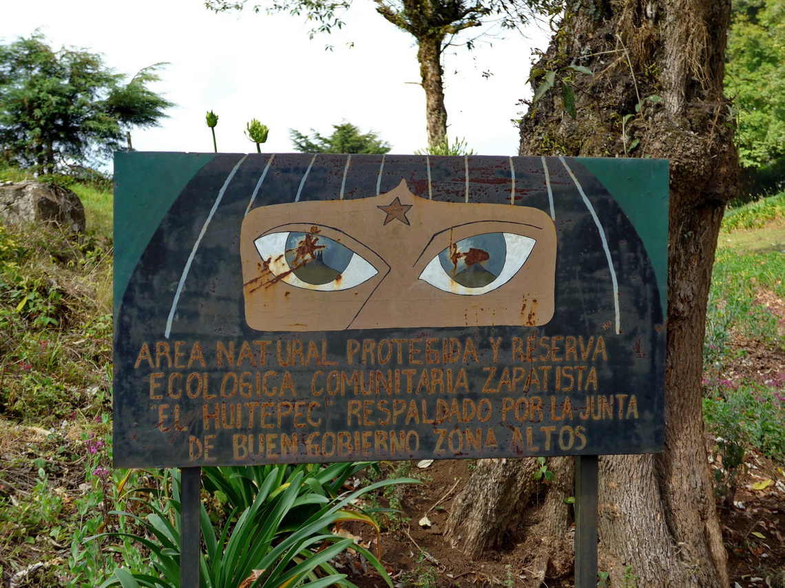
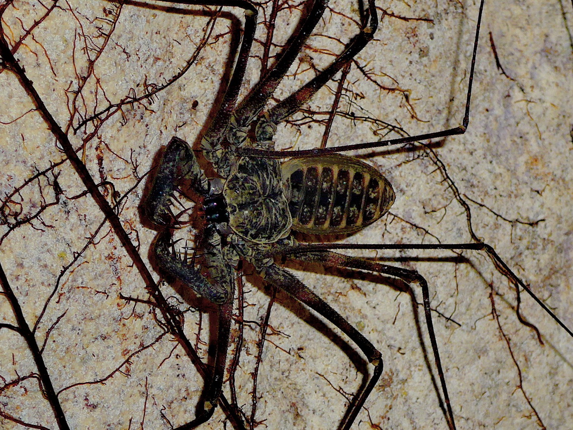
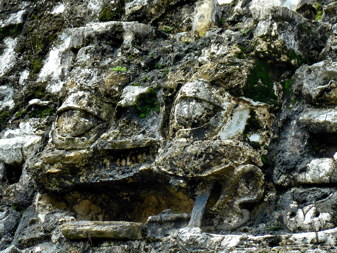
We saw this sign on the marvelous hike to 2741 high Cerro Huitepec, which is located a few kilometers west of San Cristobal de las Casas. We walked peacefully more or less alone through pine forests to the summit hut. For our GPS track download the GPS coordinates file of Chiapas.
Our itinerary in Mexico begun a little bit weird - A side story about Mexican customs:
Together with our friend Frank we crossed the border on May 3rd 2015 about 10:00AM. We chose the customs office in Ciudad Hidalgo, which one of the main crossing from Guatemala to Mexico. Immediately we got our 6 months stamps into our passports and Frank the permission for his car because he had already the 10 years import permit. We have two registration certificates for our car. The first one is the international one with limited data but in nearly every language, also in Spanish. The latter one is only in German with a lot of details. A younger Lady was checking our car and she was the first one who asked for the national registration certificate after crossing 45 times borders in Latin America with our car. She did not speak English but she realized that there was a date on the national registration certificate which indicates the next technical inspection of our car, which is mandatory in Germany every second year. This date is May 2012 and she told us that that the paper is not valid. Consequently we could not take our car to Mexico.
We explained her several times in Spanish that our car is now more than 4 years in Latin America and we can not do the technical inspection because there are no German authorities which are capable doing this service. Finally a well speaking English customs came and we told him the story again. He said us in front of the younger Lady that everything is OK. He returned to his office and the Lady was looking a little bit odd. After insisting on the papers she said that on this huge customs office is no Banamex office where we could pay the fees for the car permission. Instead we had to go back to Guatemala and drive to the next customs office in Talisman. It meant again the whole and painful immigration process into Guatemala, which costs a lot of time and money. Alfred was insisting going to Talisman in Mexico because we had our stamps already but the Lady refused it. Alfred became really angry and asked her to fetch her boss. She told us that he is for lunch now and disappeared. One hour later she came back and told us that we cold drive in Mexico directly as fast as possible to the other customs office in Talisman.
We dared to eat in a restaurant between Ciudad Hidalgo and Talisman because we were extremely hungry. And we had to say sadly bye bye to Frank. The customs officer in Talisman was not interested in the nation registration certificate, our international one was sufficient for her. But she detected another problem because Alfred Christian name Günther is not mentioned in his driver's licenses both national and international. But it is in his passport. So how can she be sure that the person pictured in the driver's license is the same pictured in the passport? In both new pictures of Alfred are included. We were speechless about this logic. After several minutes she smiled and asked us about a second official document where the Günther of Alfred is confirmed. We searched in our car and found the ID card. Fortunately Günther is included into Alfred's name. We returned to the Lady and she gave us the slip of the costs of the 10 years import permit.
When we came back from the Banamex counter another problem occurred: The computer system had crashed. Consequently the officer could not finish our paperwork. We had to wait, may one hour, maybe until tomorrow. Who knows she mentioned. It was becoming dark. It started raining like hell with thunder and lightening. It was becoming cold. We waited because the Lady had said that she worked till 9:00PM. At 8:30PM the computer system came back. Few minutes later we had the 10 years import permit for our vehicle - Hooray
We drove to San Cristobal de las Casas to park our car there when we are in Europe. We stayed several days on its campground Rancho San Nicolas (GPS coordinates: N16° 44.029' W92° 37.319') and found an ideal place for our car under a roof at the Parking lot of Lucia and Isaias (GPS coordinates: N16° 44.225' W92° 37.931'). They were very friendly, helpful and they live at the entrance of the parking lot. We felt that our car is safe there. Indeed everything was OK when we returned end of October besides the fact that our battery was dead and we had some trouble to start the engine.
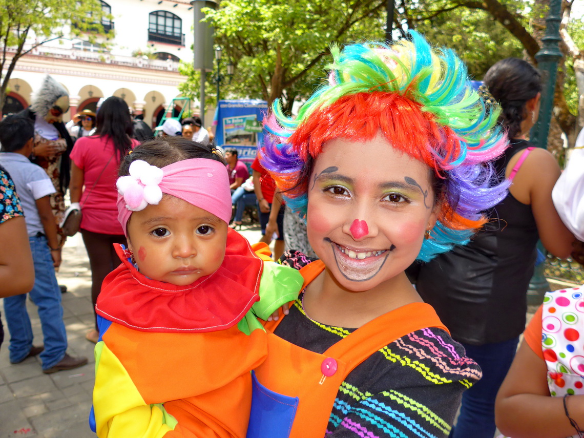
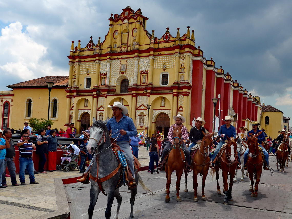
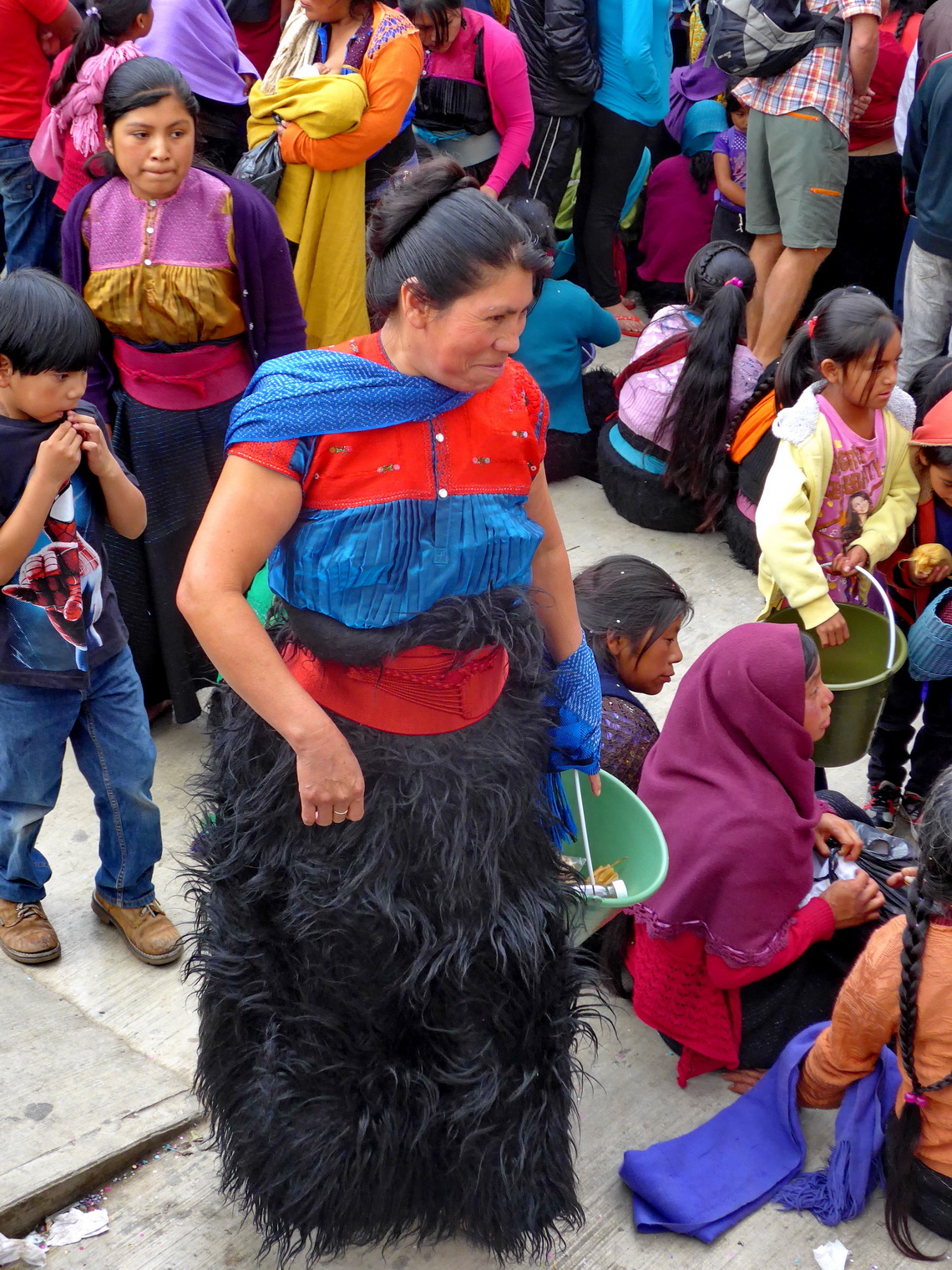
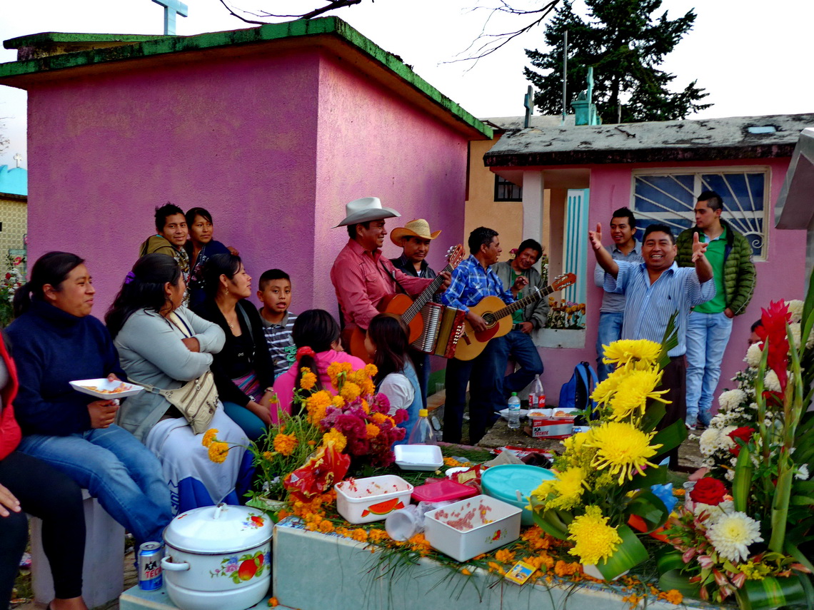
Soon we realized that the Mexican love to celebrate - Fiestas everywhere and every time when possible. In San Cristobal de las Casas we enjoyed Mother's Day in May and All Soul's Day in November.
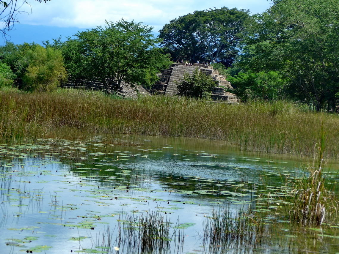
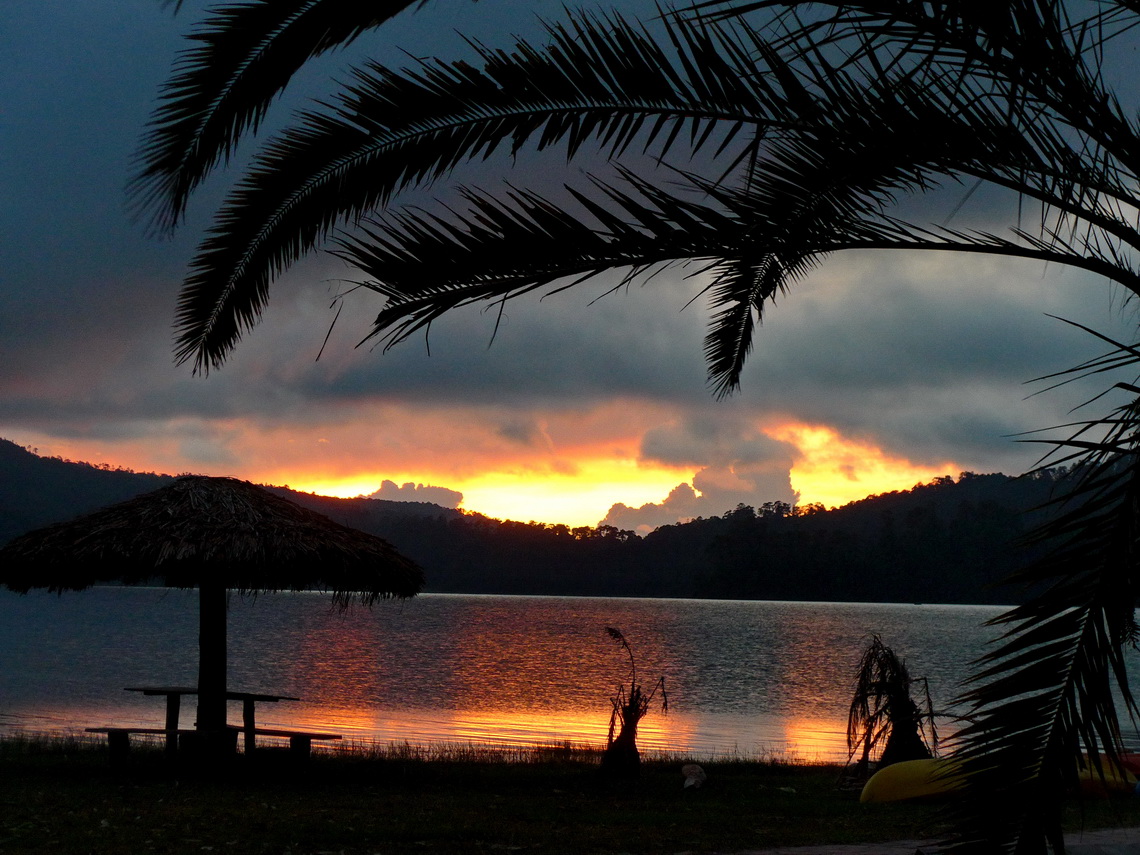
After coming back to San Cristobal de las Casas end of November 2015 we traveled southwards to the Guatemalan border. Thanks to our Swiss finds we found the paradise Lagos de Colón (GPS coordinates: N15° 49.579' W91° 53.810'), few kilometers southeast of Comitán. We paid just 1.30 U$ entrance fee and intended to stay one night there. But it was so nice that we spent there three nights directly on a lake where swimming was an outstanding pleasure. Nice walking paths lead to huge waterfall and to the Maya ruins El Lagartero, which are included in the 1.30U$ entrance fee. Beer, drinking water and some basic food was available in the village for little money.
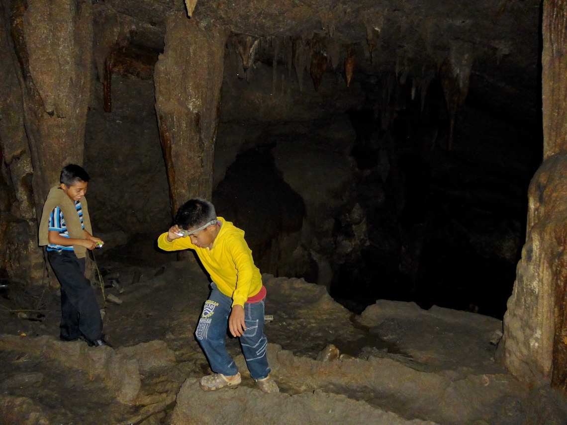
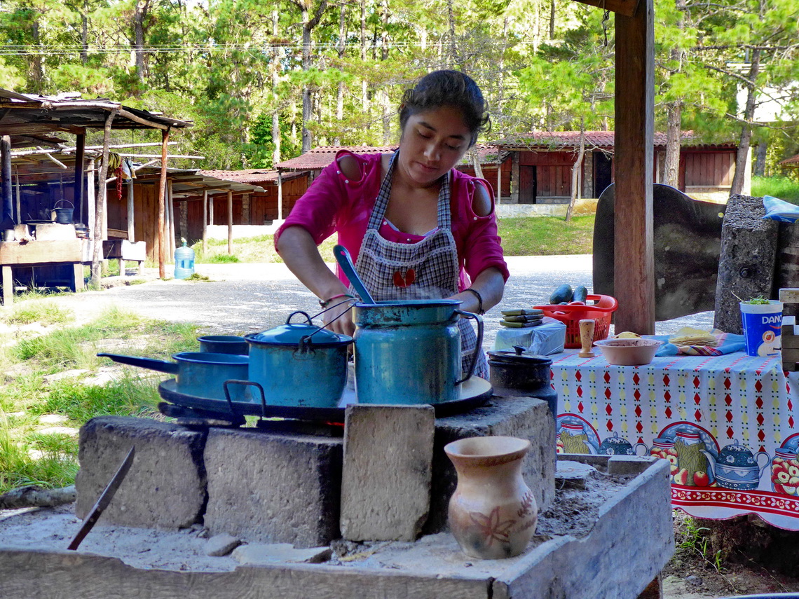
The street Carretera Fronterizo leads more than 400km from Comitán to the famous Maya site Palenque along the border to Guatemala. It is a deviation of more than 200km of the direct way but we passed marvelous landscapes in the jungle, beautiful villages and outstanding Maya ruins. It is fully paved with few potholes. We had rain every day but usually just in the late afternoon and night. We spent our first night again at the nice lake Lago Tziscao on the parking lot of the hotel Eco Tziscao (GPS coordinates: N16° 04.949' W91° 40.395'). Lago Tziscao is one of the many lakes of the Lagos de Montebello. In the next day we visited some caves in this area, guided by two boys. There are some nice restaurants at the Parking lot Lagos de Montebello for the caves (GPS coordinates: N16° 07.647' W91° 43.823').
The road lowers down from the more than 1500 meters high Lagos de Montebello to the Lacandon Jungle, which is the largest montane rain forest in North America. Our first stop was in the little village Las Nubes (GPS coordinates: N16° 11.897' W91° 19.840') accessible approximately 20 kilometers from the Carretera Fronteriza by a bumpy road. Like on Lago Tziscao we paid 100 Pesos per night (around 7U$), this time including electricity. There are nice trails and also a huge waterfall. We spent two nights there and visited with our bicycles the little village Santa Margarita Agua Azul.
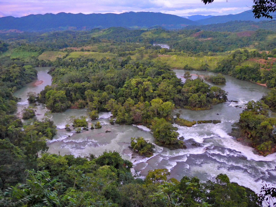
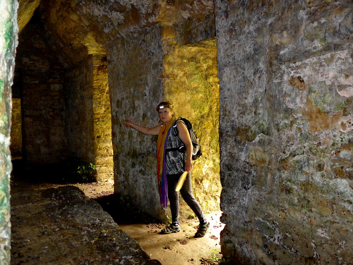
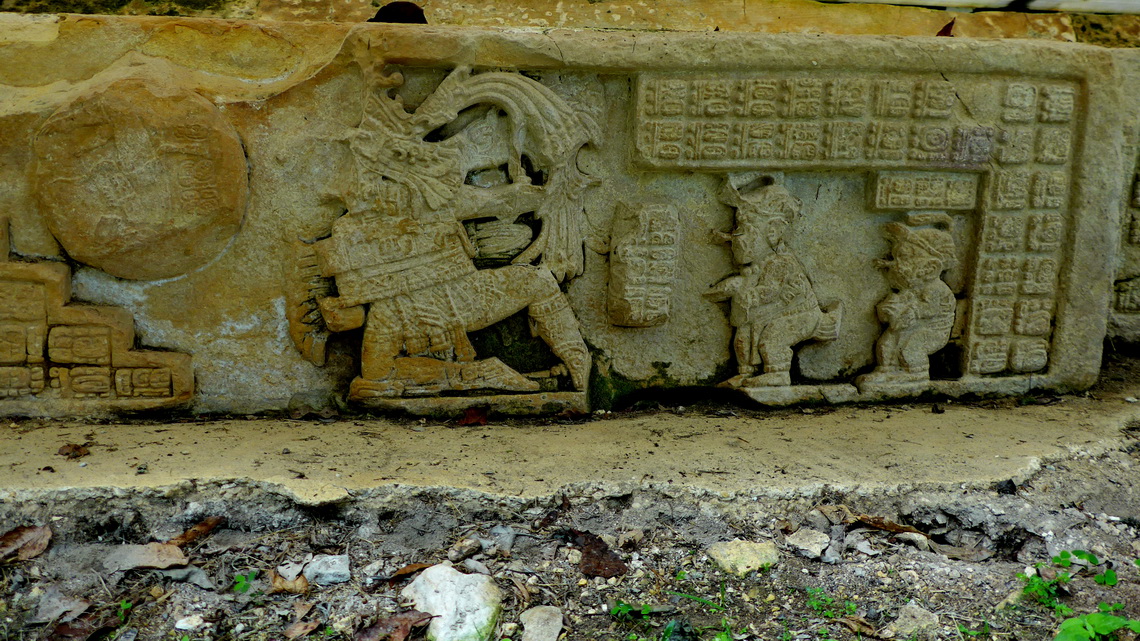
Hot Frontera Corozal is located on shore of majestic river Rio Usumacinta, which is according to Wikipedia the seventh largest river on earth based on volume of water. We spent the night in front of the Escudo Jaguar (GPS coordinates: N16° 49.344' W90° 53.126') hotel for the usual 100 Pesos. Frontera Corozal is a border town for Guatemala via ship and the base for the magnificent Maya ruins Yaxchilán, also accessible only via boat. This mystic site in the jungle situated on a narrow horseshoe loop of Rio Usumacinta are the most touching Maya ruins we have seen so far, to our mind much more exciting than Palenque and Uxmal. We took a boat early in the morning and were happy seeing this place without a lot of tourists.
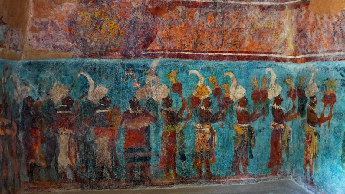
The campsite of Campamento Servicios Turisticos Lancandones (GPS coordinates: N16° 46.087' W91° 07.537') at the entrance of the village Lacanjá Chansayab is an ideal place to visit the Maya ruins Bonampak with its stunning frescoes. We paid again 100 Pesos for the night including electricity and enjoyed the good restaurant in the evening. The street to Bonampak is forbidden for public cars; thus you have to take a taxi or bicycles as we did.
But we were cheated at the entrance gate of the closed road because a guy wanted 25 Pesos per person for us as a fee to go by bicycle. We asked for official tickets and paid 80 Pesos each thinking that we get the entrance tickets of Bonampak. When we arrived at the ruins it turned out that these tickets were for the taxi service and we had to pay another 52 Pesos. Of course the guy who sold us the wrong tickets had dissapeared when we came back to the gate.
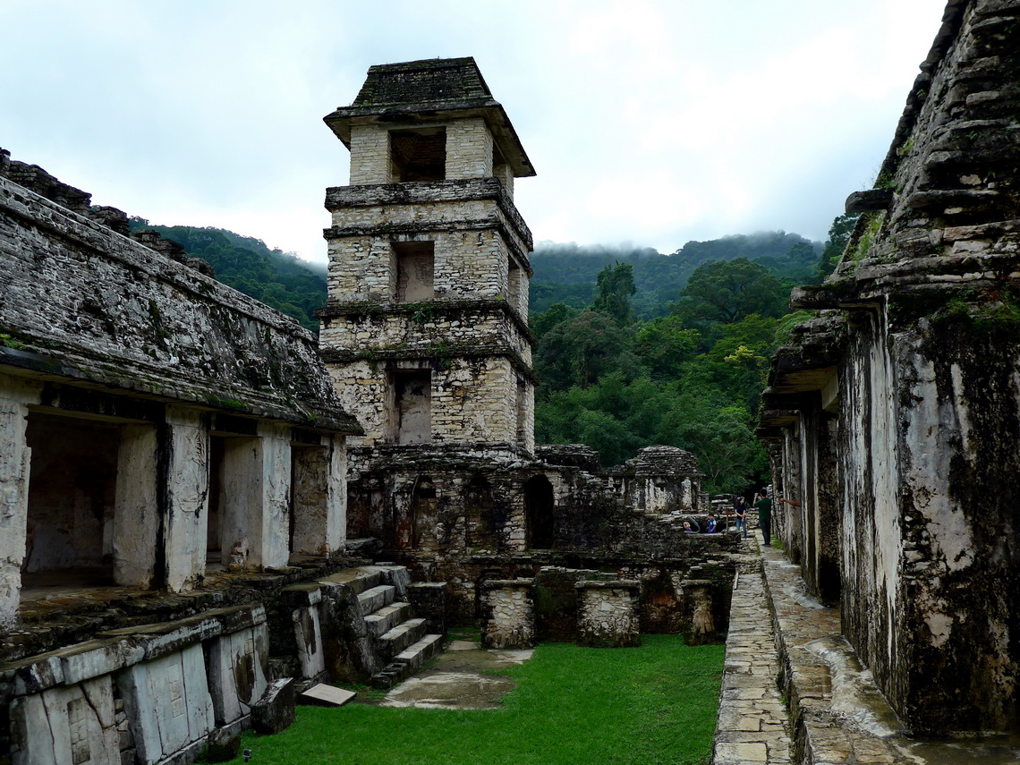
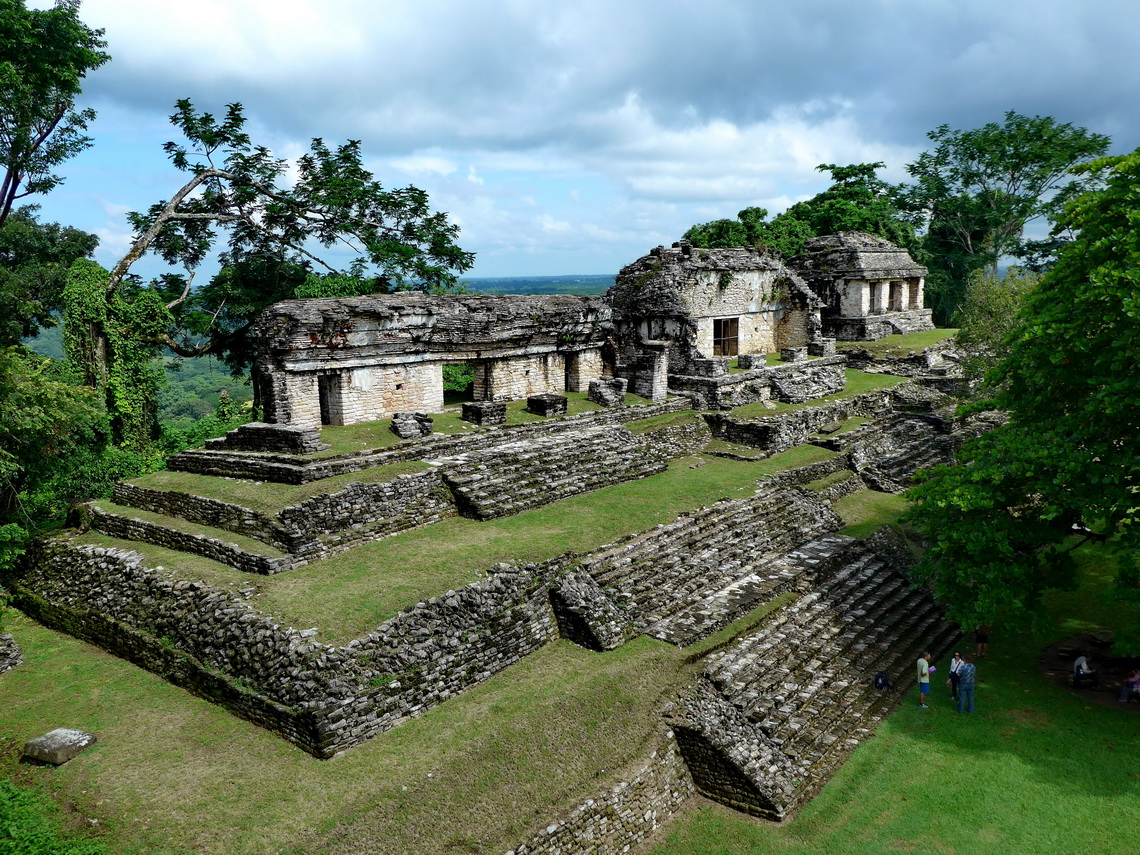
Lacanjá Chansayab is the biggest Maya village in the Lancandones jungle with some ecological tourism like some trails in the jungle. But it was raining like hell on the next morning. Consequently we continued to Palenque, the most famous Maya ruins in Chiapas and an UNESCO world heritage site. It is huge area located on the edge of the rain forest between the hilly Lancandon jungle and flat Yucatán. We stayed two nights at the Maya Bell Campground GPS coordinates: N17° 29.251' W92° 02.313') and enjoyed its cool swimming pool intensively, which is close to the entrance of the ruins.
Comparable to the other Maya UNESCO World heritages in Yucatán, Palenque is relatively cheap; we paid less than a 1/3 of the entrance fees of Uxmal or Chichen Itzá. But there are some other trails where we were more or less alone like the Orchid garden or the Sendero Motiepá to cascades and hidden ruins, without any costs. Palenque is famous for the tomb of king Pakal in the Templo de las Inscripciones (Temple of the Inscriptions) which is probably the most celebrated burial monument in the Americas. Due to conservation issues it cannot be visited but there is a replica in the Museo Nacional de Antropologia in Mexico City. Another one is in the museum close to the ruins, but it somehow sketchy.
For more pictures, please click here For a map of our itineraries, click here
To download the GPS coordinates, click here


