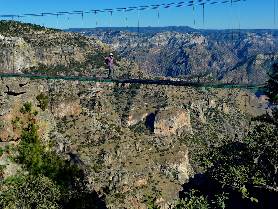
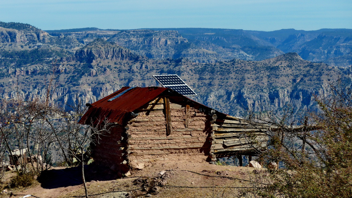
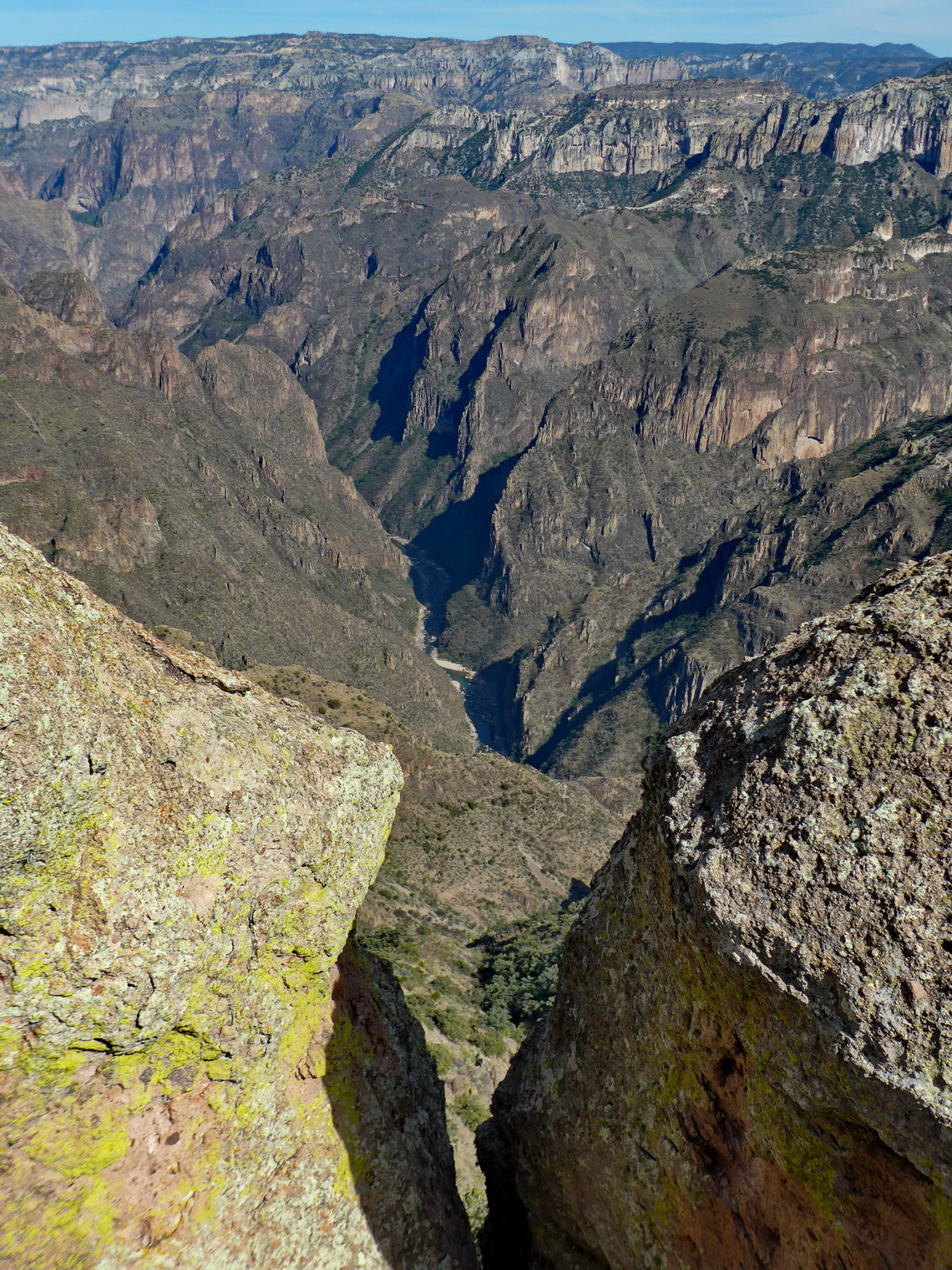
Magical Copper Canyon - Barrancas del Cobre in the majestic Sierra Madre Occidental is the major attraction in northern Mexico. It is a mazy system of seven major canyons with a depth up to 1,800 meters. Grand Canyon in Arizona / USA is four times smaller and less deep! In its area live the Tarahumara people which are famous for their running endurance: Some are capable to run few hundred kilometers and more than 20 hours without a break!
There is no street through the whole main canyon but a railway with 37 bridges and 86 tunnels which connects Los Mochis on the Pacific Ocean with Chihuahua in the desert with the same name. The train is called El Chepe after the first characters of Chihuahua and Pacific. Driving with this train through Copper Canyon is a must to do for tourists in northern Mexico.
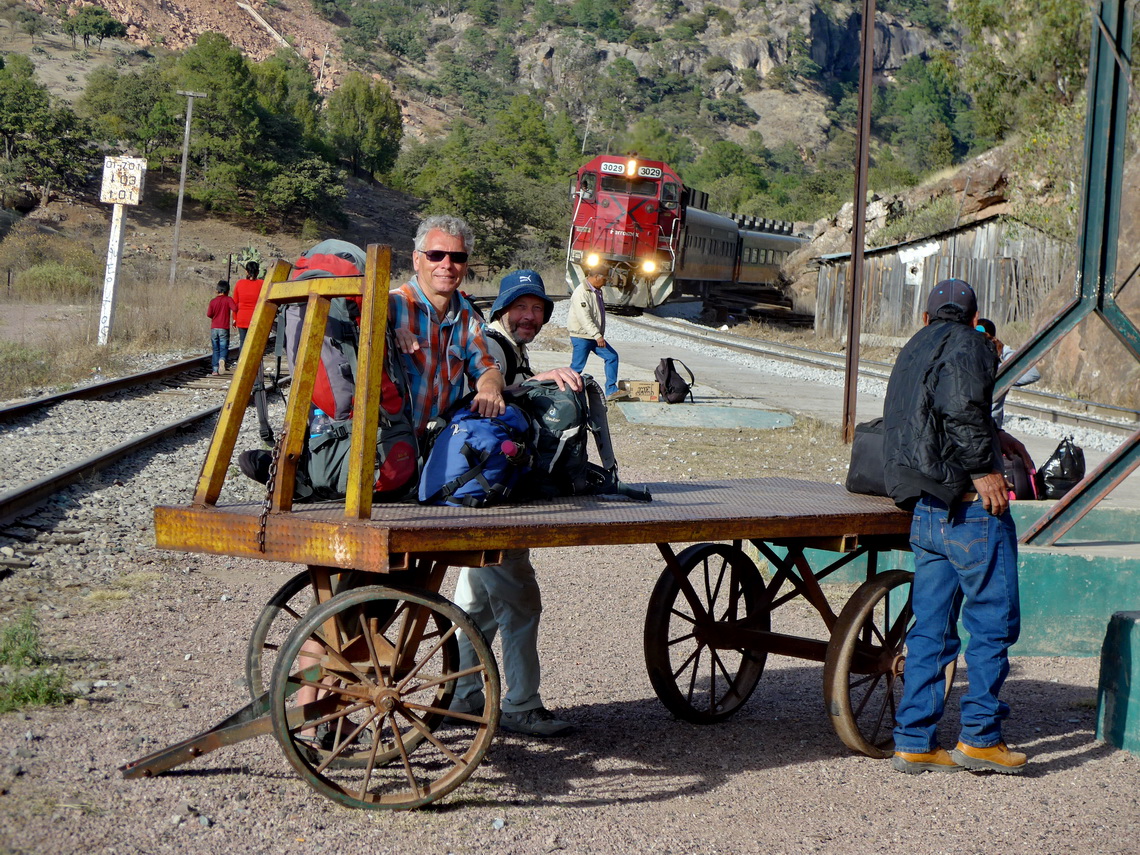
Our journey with El Chepe was pleasant and very interesting. We parked our car in front of the train station in El Fuerte on the premises of an elderly couple for 100 Pesos / night (5U$). Sleeping was possible, too without any additional costs (GPS coordinates: N26° 21.909' W108° 35.552'). We took 2nd class because it is much cheaper and you get the tickets in the train. But it is served only once a day on Tuesday, Friday and Sunday from Los Mochis to Chihuahua, and return just on Monday, Thursday and Saturday. Up we took El Chepe to Creel (8 hours) and back from Bahuichivo (4 hours).
In 2260 meters high Creel we stayed two nights in the nice Hotel Ricardo Loya (GPS coordinates: N27° 45.054' W107° 37.960'). It was chilly in Creel at night, and we found a frozen waterfall at noon! When we arrived we hiked to Jesus where we had marvelous views at sunset (GPS coordinates: N27° 45.304' W107° 38.398') and searched for good mountain bicycles to rent. According to Lonely Planet Mexico 3 Amigos has the best ones and we fully agree. It is worth to pay the higher price because all others were in critical conditions.
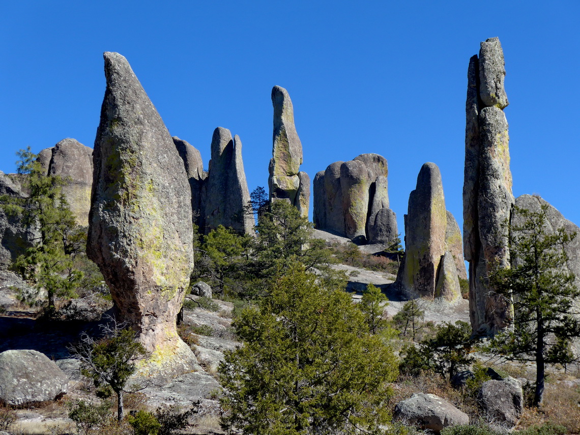
With these bikes we did the wonderful circle to the caves San Sebastion which are inhabited by Tarahumara people, to the Valle de Los Hongos - valley of the mushrooms, to the Valle de los Ranas - valley of the frogs, to the little village San Ignacio de Arareco with its beautiful church, to the Valle de los Monjes - valley of the monks, and to the lake Lago Arareco. We spent a splendid day on the bicycles.
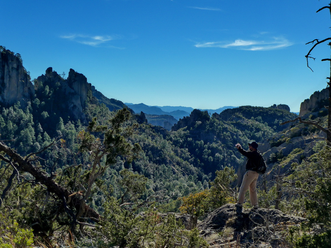
Areponamichic is located closely to the edge of the Copper Canyon. We were the only tourists in the hostel Cabañas Dias but we had a nice hut with an oven fired with wood (GPS coordinates: N27° 30.535' W107° 50.605'). And the Ladies of the family cooked excellent. When we arrived after a short ride with the public bus from Creel we hiked along the rim of the canyon to the train station Divisadero. In between is the adventure park of the Copper Canyon with a cable car into it. Several other activities can be done here like a ZIP line to the bottom station of the cable car. With 2.5 kilometers length it is supposed to be the longest on earth! The views on this superb hike were stunning.
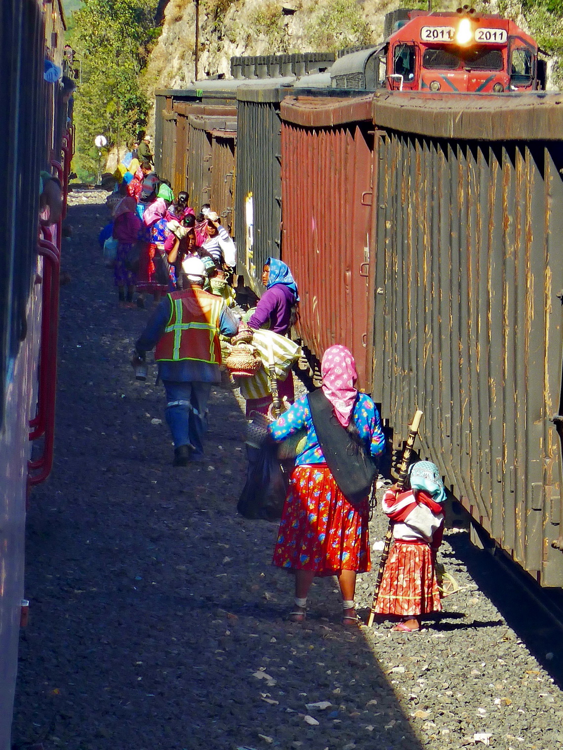
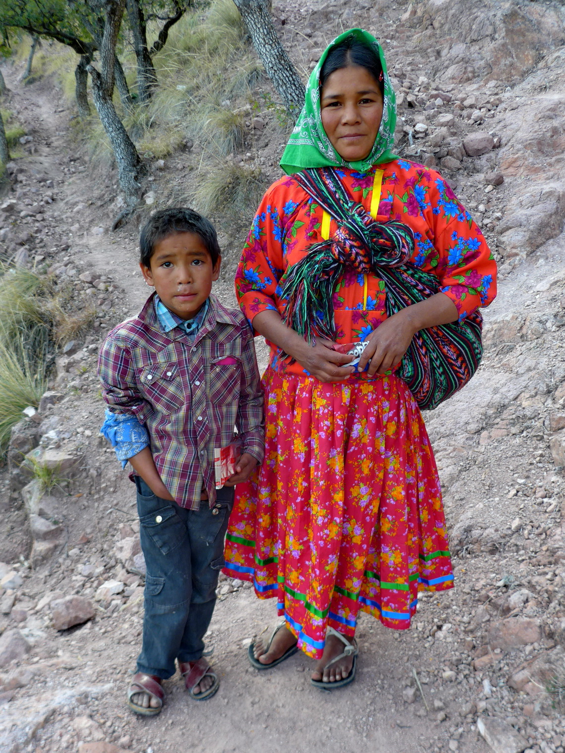
On the second day we climbed down via the well-marked path Ruta Panoramica to the viewpoint close to the valley station of the cable car. There we could see the river in the bottom of the main canyon. Up we returned via the path Ruta Escuales, which means school way. On this trail we met a lot of indigenous Tarahumara people, also kids returning from school. We needed a full day to do this extraordinary round trip with more than 15 kilometers distance and 700 meters vertical difference. This hike is included in the GPS coordinates file of Mexico North.
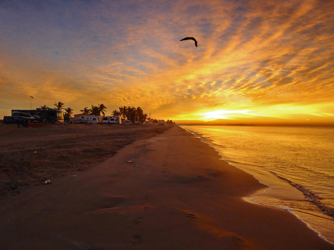
We returned to the Pacific Ocean, when we were back to our car. Huatabampito has a nice beach on the Gulf of California but the water was fishy. We stayed a night in the RV park of the El Mirador Hotel (GPS coordinates: N26° 41.636' W109° 35.397').
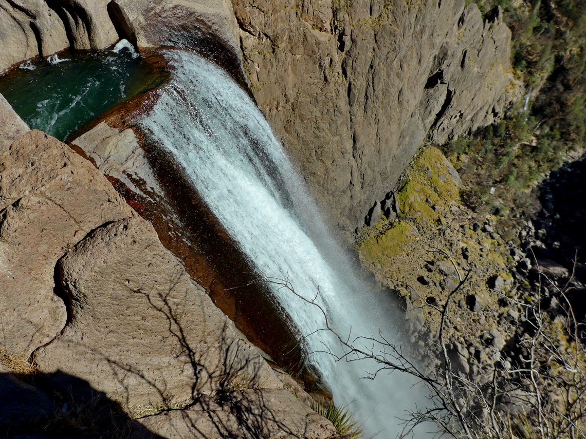
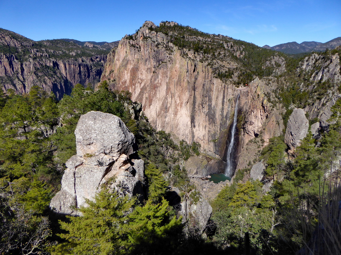
The winding streets MEX12 and MEX16 to Chihuahua were endless. We stopped for one night at the PEMEX gas station in Yacora, which was a quiet and safe place (GPS coordinates: N28° 21.925' W108° 55.500'). Even better was the campsite of the ranch Rancho San Lorenzo which is located close to the 246 meters high waterfall Cascada de Basaseachi. There are some nice hiking trails in this area including the strenuous hike to the summit and viewpoint La Yegua. This hike and a shorter one to the vantage points Mirador la Corona and Mirador Cascada de Basaseachi are included in the GPS coordinates file of Mexico North.
We were surprised by the huge city Chihuahua (nearly 1 million inhabitants) which is the capital of the state with the same name in the desert of the identical name. There is a pleasant parking lot on one of its sport centers with security and toilets (GPS coordinates: N28° 39.371' W106° 05.012') where we spent two nights. Its center is pretty with just few foreign tourists and it has some exciting museums.
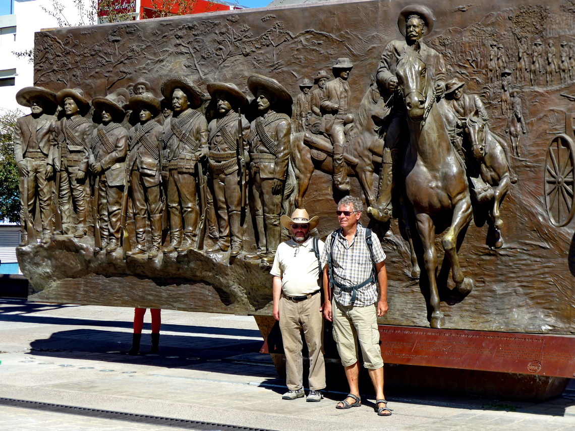
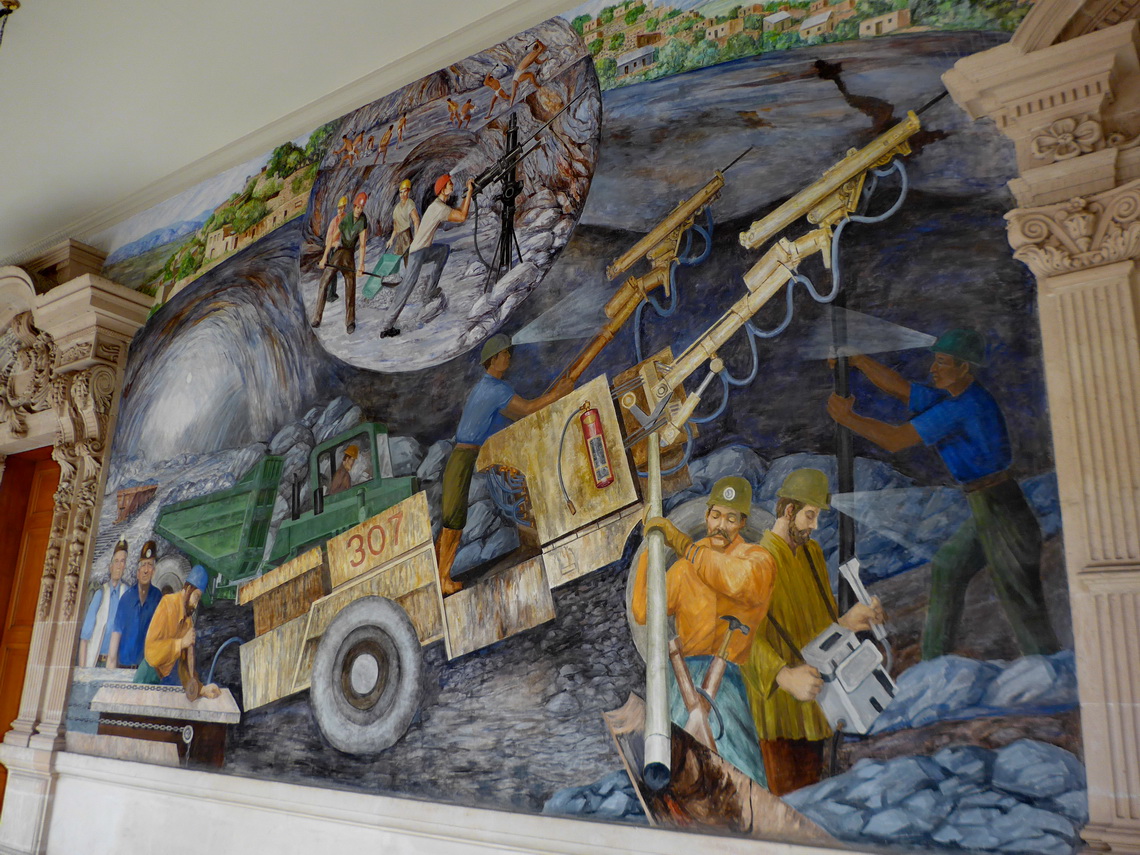
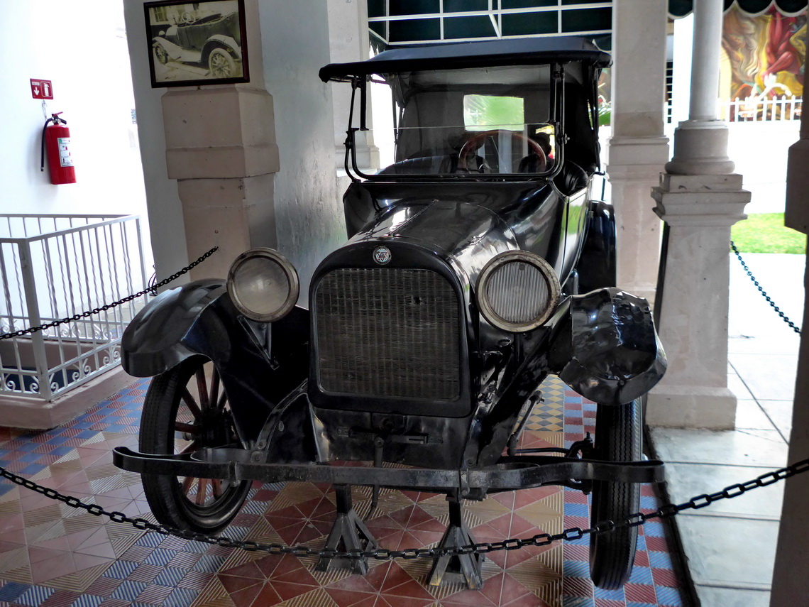
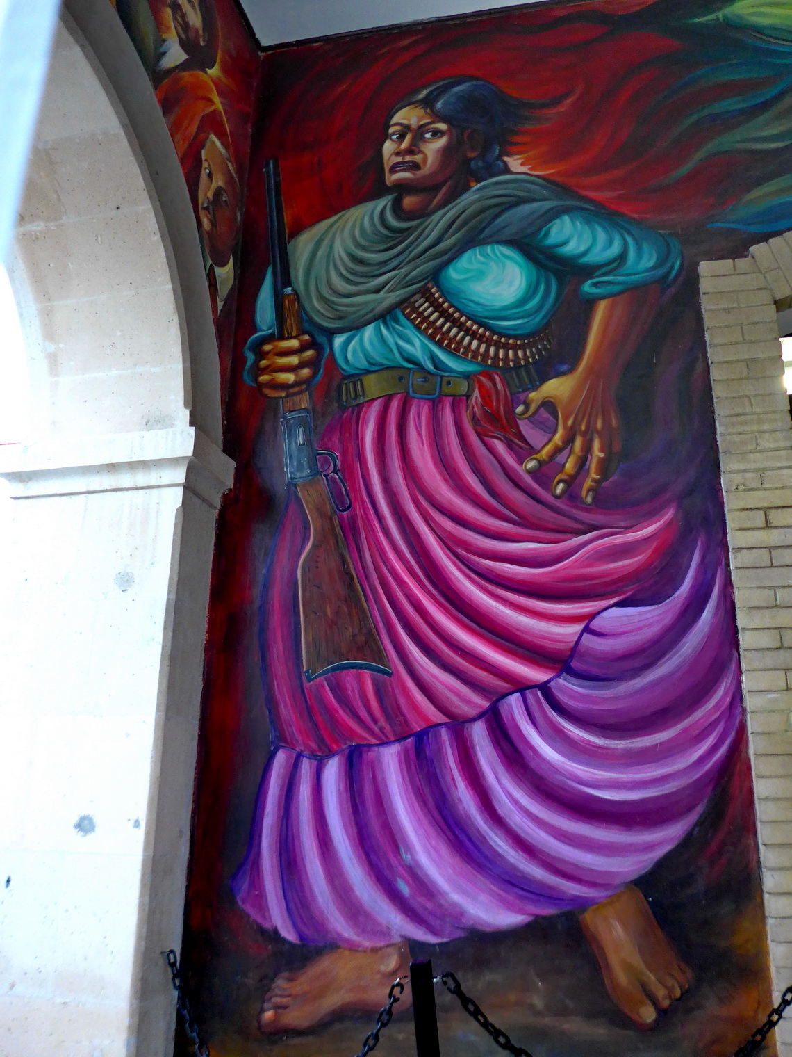
Chihuahua is the city of famous Francisco - Pancho Villa, who is one of Mexico's national hero. He was everything: Womanizer, rustler, revolutionist, general, governor of the state Chihuahua. He was a leader of the Mexican revolution in the beginning of the 20th century but he and his troops marauded a town in USA to discredit rivals. He was assassinated in the year 1923, maybe initiated by Mexico's President Obregón of this time. His former residence, a villa with 48 rooms is the best museum in Chihuahua to our mind - Museo Casa de Villa.
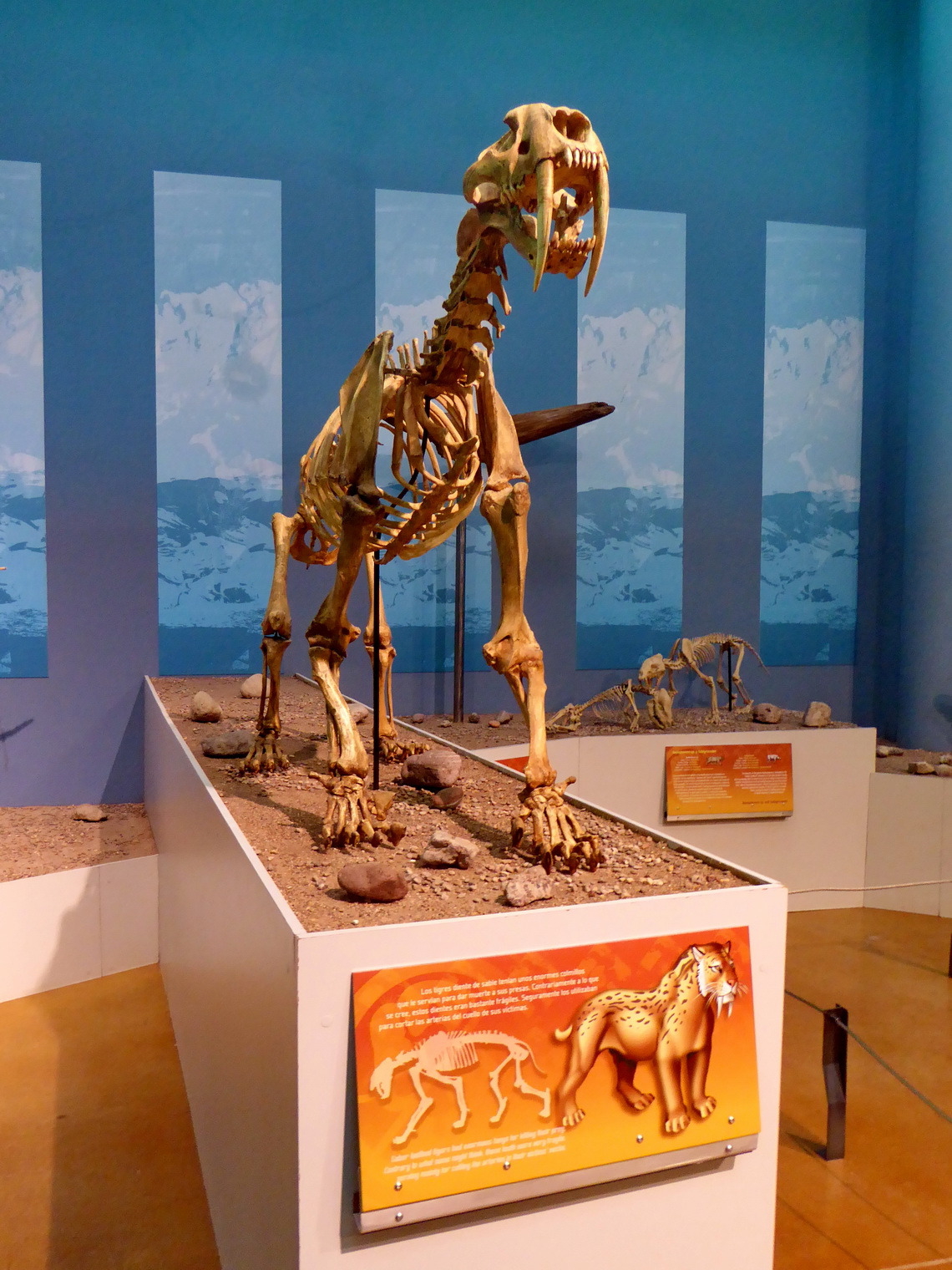
Few kilometers north of Chihuahua is the nice cave Las Grutas de Nombre de Dios which were discovered by mining activities (GPS coordinates: N28° 42.561' W106° 04.617'). In the little town Delicias, which is 80 kilometers southeast of Chihuahua we visited the excellent museum Museo de Paleontologia which shows findings of the desert including some dinosaur skeletons. There we stayed the night on one of its PEMEX gas stations.
For more pictures, please click here For a map of our itineraries click here
To download the GPS coordinates file of Mexico Central, click here


