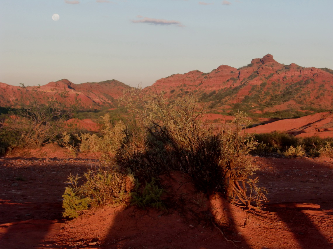
Parque Nacional de Sierra de las Quijadas is located approximately 200km North East of Mendoza. It is very dry region with small mountains up to 1200 meters, deep gorges, cacteens, a lot of dust and so on. The scene is very romantic, a little bit Wild West like. The entry to the park is free, also the Camping place, which is very basic, hot and sunny, but also very clean and remote.
There is just one tree which spends some shadow and a table which benches under its branches. Fortunately we could use this unique place, when we arrived very late in the evening of January 17th 2011. In the morning we walked to several view points (Miradores), which can be accessed easily and without a guide.
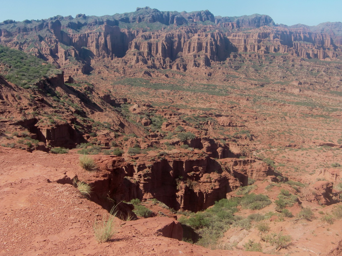
There are also a lot of fossils, but they are removed now to museums because there can be heavy rain there. It rains very, very seldom but it rains it changes the landscape - erosion everywhere!
It became unbearable hot after 11:00AM (38°Celsius) that we moved back to our car and we were very lazy. Suddenly the table was occupied by two younger Argentine couples. One of the Ladies, Natalia, speaks very good English, because she is an English teacher. We talked and discussed the whole hot time of the day alternately in English and Spanish. We had a lot of fun, Muchas Gracias Natalia and her friends.
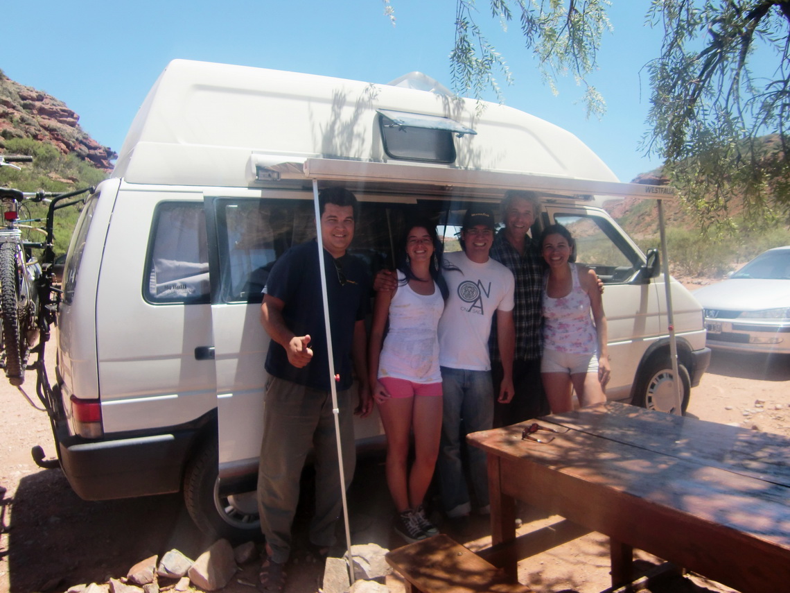
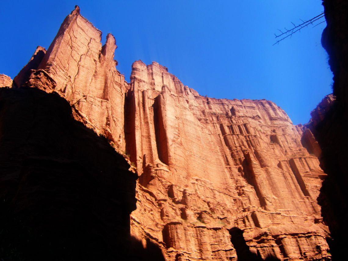
At 3:00PM we walked with another Argentine couple and the guide Jorge to the "Los Falladores" - The cliffs of the main gorge. It is a relatively long tour, approximately 4hours walking and 8.5 kilometers. But it exceeded our expectation dramatically; it is a wonderful and outstanding hike.
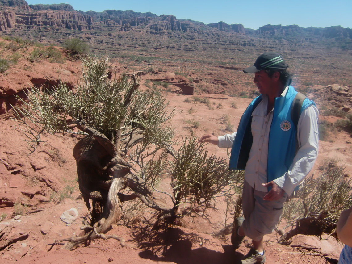
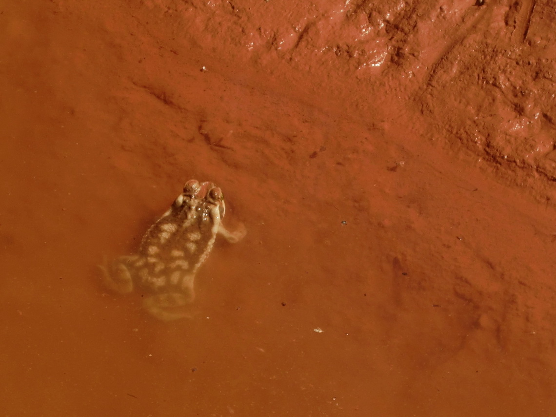
We saw a lot of different animals in this very arid environment, like a grey fox, puma (stone!), frogs, guanacos, very big locusts (10cm long). There were just two spots of water on the way, both with a diameter of approximately 1 meter and both totally overcrowded with animals and insects.
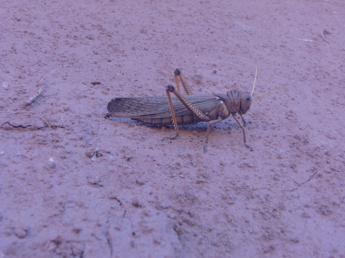
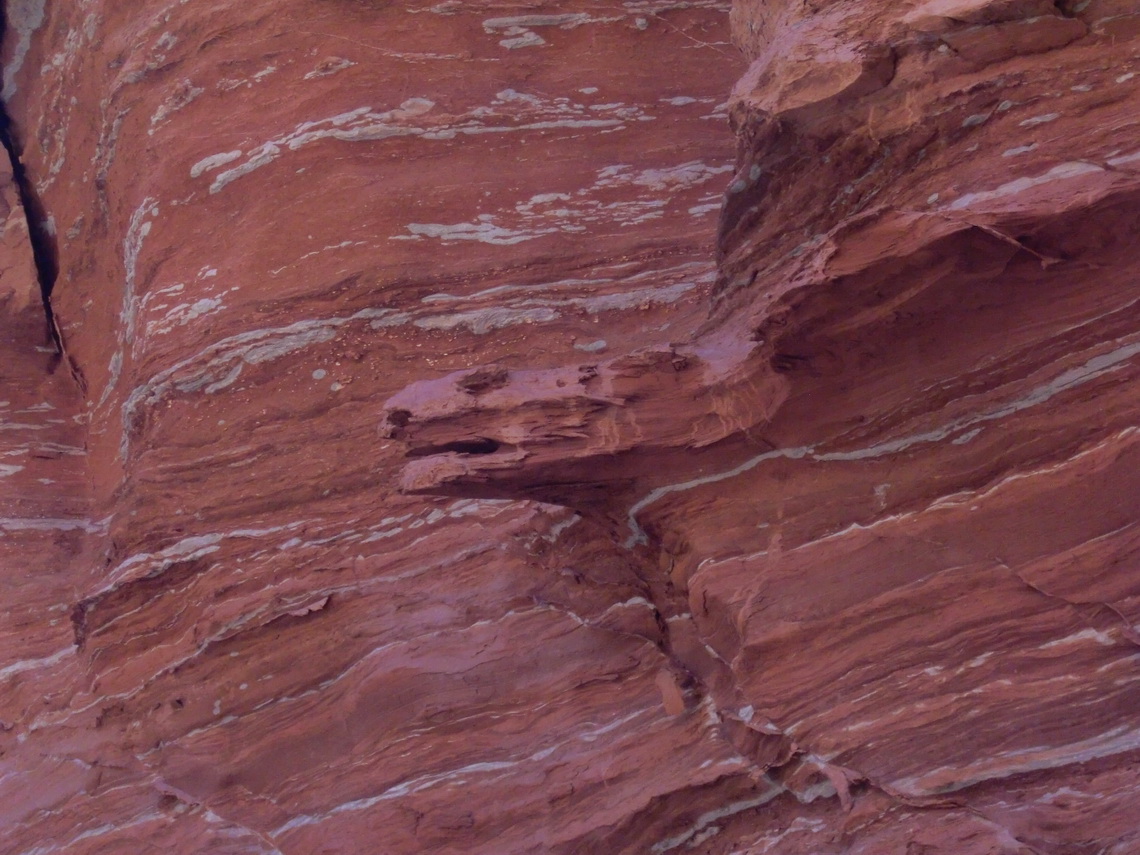
Walking through this gorge is a tremendous nice experience; we shot a lot of photos. Sometime we had to climb a little bit, but no difficulties - no big deal
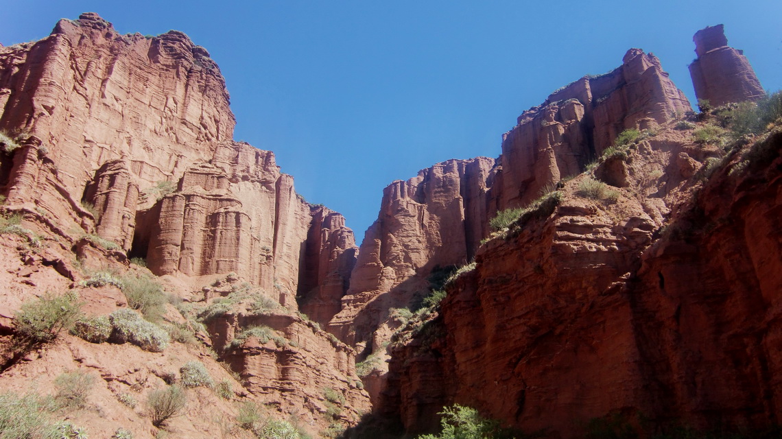
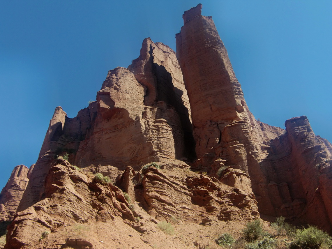
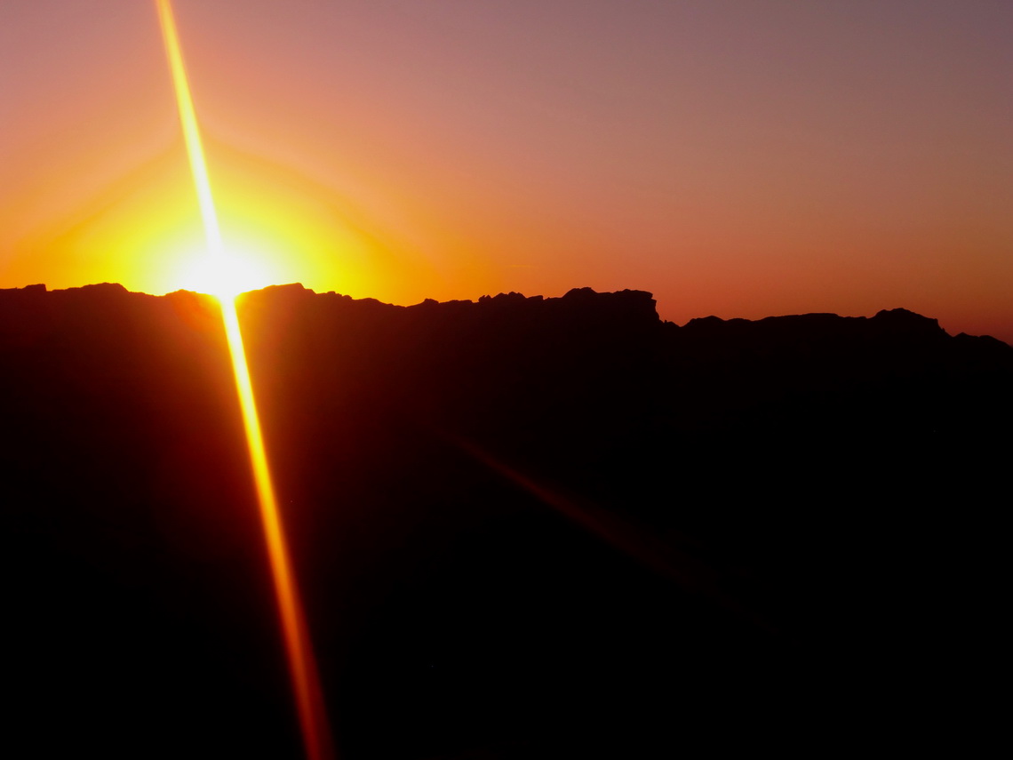
It was closed to sunset, when we returned to the main paths. We decided to wait for sunset at the Mirador.
For more pictures, please click here For a map of our itineraries, please click here
To download the GPS coordinates file of Argentina, click here

