Marion and Alfred Marion and Alfred
  • Home
  • Itineraries
    • Africa
      • Tanzania
    • Central America
      • Belize
      • Costa Rica
      • Guatemala
      • Honduras
      • Nicaragua
      • Panama
    • North America
      • Canada
      • Mexico
      • United States
    • South America
      • Argentina
      • Bolivia
      • Brazil
      • Chile
      • Colombia
      • Ecuador
      • Paraguay
      • Peru
      • Uruguay
    • From Hamburg to Buenos Aires
    • Asia
      • Cambodia
      • Laos
      • Thailand
      • Vietnam
    • Europe
      • Italy
      • Scandinavia
      • Spain
  • Mountains
    • Africa - Overview
    • Central America - Overview
    • North America - Overview
    • South America - Overview
    • Asia - Overview
    • Europe / Scandinavia - Overview
  • Pictures
  • Maps
    • Map Africa - Tanzania
    • Map America Entire
    • Map Central America
    • Maps North America
      • Alaska and Canada - West
      • Mexico
      • United States - Northwest
      • United States - Southwest
    • Maps South America
      • South America - Northwest
      • South America - Central
      • South America - South
    • Map Southeast Asia
    • Maps Europe
      • Italy
      • Portugal and Spain
      • Scandinavia
      • Spain - Mallorca
  • GPS Coordinates
    • Africa
    • Central America
    • North America
    • South America
    • Asia
    • Europe
  • Guestbook
  • About
    • About Marion and Alfred
    • Chronology
    • Newsletter
    • Contact
  1. You are here:  
  2. Home
  3. Itineraries
  4. North America
  5. Mexico

Sierra Madre Oriental

Majestic Sierra Madre Oriental stretches more than 1000 kilometers from the border with USA to northern Puebla in central Mexico. West of this range is the huge Chihuahua desert in its northern part, east are the Mexico's Gulf coast plains. Sierra Madre Oriental is famous for its rich biodiversity. Large pine-oak forests are found up to the highest mountains with more than 3700 meters sea-level. Limestone dominate its geology. Huge caves, sharp pinnacles and steep walls are common. Nearly in its center is the metropolis Monterrey, which is with more than 4.5 million inhabitants the third biggest city of Mexico.

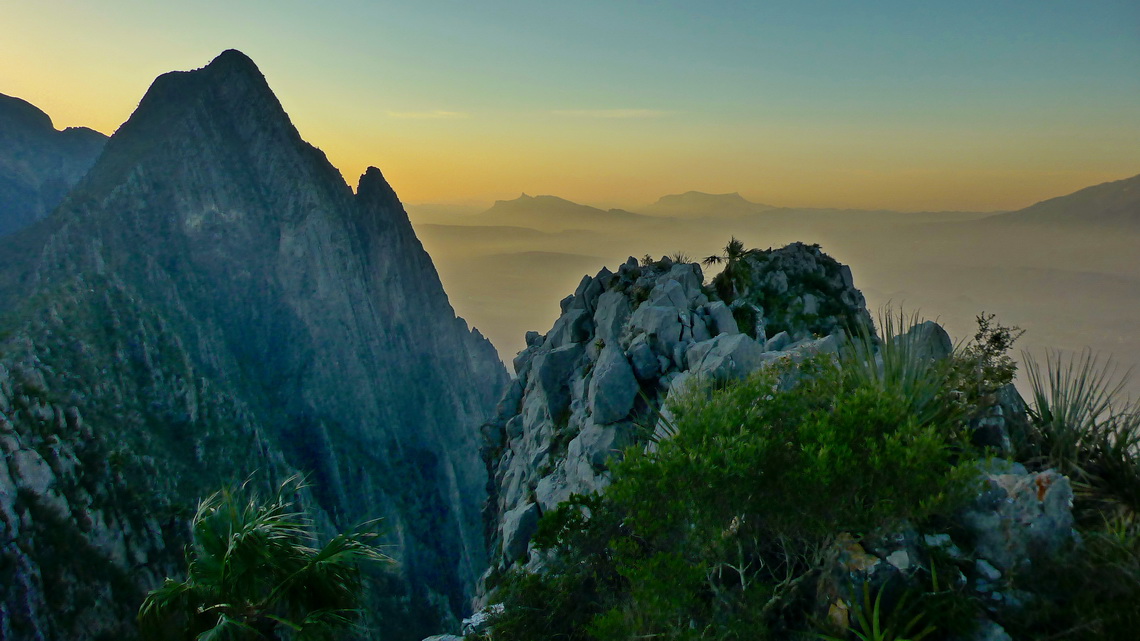
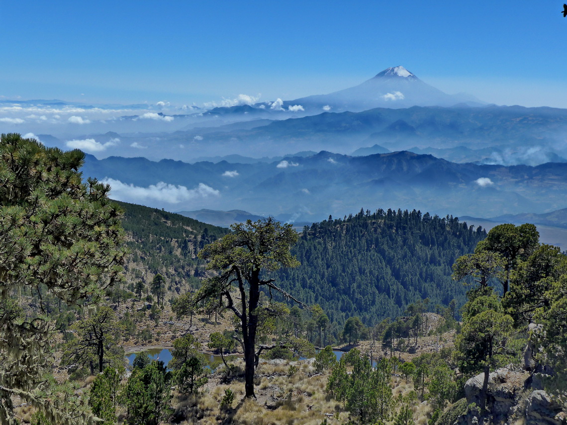
Western view from 1482 meters high Cerro Toro, which is few kilometers northwest of Monterrey


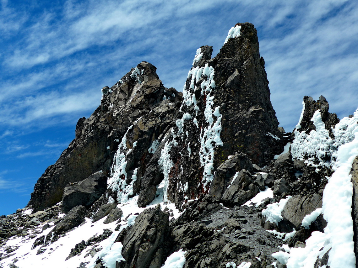
Its tallest peak La Viga or Cerro San Raphael (3716 meters sea-level) is covered sometimes by snow in winter. It can be climbed up by a strenuous hike of 5 hours from the saddle east of the little village Los Lirios. We were very lucky because it started snowing when we returned to our car.

Read more ... 1 comment

Barrancas del Cobre and Chihuahua

Magical Copper Canyon - Barrancas del Cobre in the majestic Sierra Madre Occidental is the major attraction in northern Mexico. It is a mazy system of seven major canyons with a depth up to 1,800 meters. Grand Canyon in Arizona / USA is four times smaller and less deep! In its area live the Tarahumara people which are famous for their running endurance: Some are capable to run few hundred kilometers and more than 20 hours without a break!

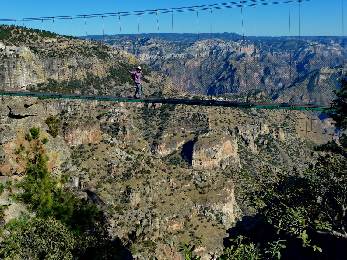
Marion on a suspension bridge with the main canyon in the background


There is no street through the whole main canyon but a railway with 37 bridges and 86 tunnels which connects Los Mochis on the Pacific Ocean with Chihuahua in the desert with the same name. The train is called El Chepe after the first characters of Chihuahua and Pacific. Driving with this train through Copper Canyon is a must to do for tourists in northern Mexico.

Read more ... 1 comment

Central Pacific Coast

Mexico's Central Pacific Coast is a marvelous piece of nature with a lot of pristine beaches, calm bays, little fishing villages and some dramatic landscapes. Mazatlán and Puerto Vallarta are the largest cities, both with fabulous beaches and many tourists.

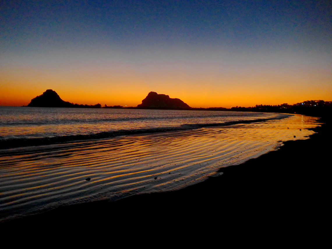
After sunset on the southern beach of Mazatlán


200 kilometers East of Puerto Vallarta is Mexico's second biggest city Guadalajara with more than 5 millions inhabitants. It is a bustling metropolis with a picturesque old town in its nice center.

Read more ... Add new comment

Zapotepetl - Nevado de Colima and the state of Michoacán

In central western Mexico is its most active volcano located: Volcan de Colima erupts several times every day. At the moment access to its top is more than life-threatening but its bigger brother, the more than 400 meters higher summit of Zapotepetl or Nevado de Colima (4268 meters sea-level) can be climbed with some easy rock scrambling. It is less than 6 kilometers away and it provides stunning views of the volcano.

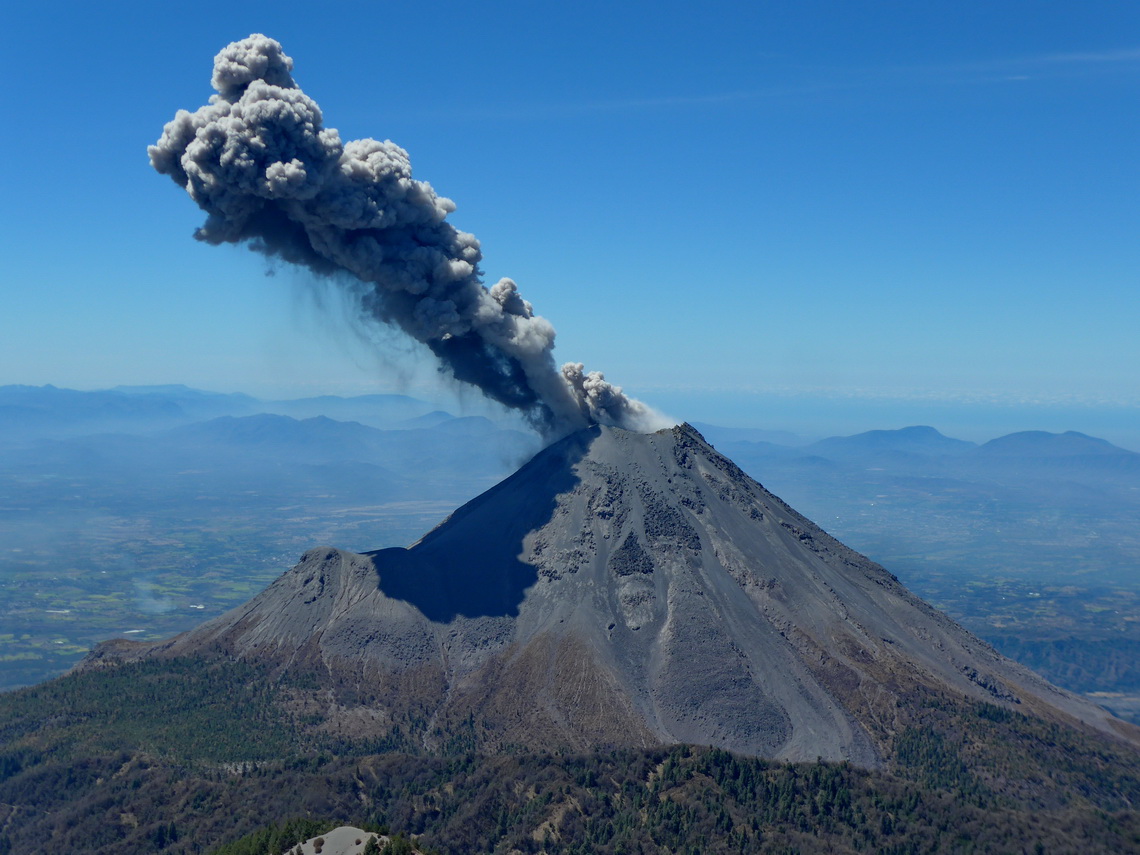
Erupting Volcan de Colima


Before we came to Nevado de Colima we traversed the beautiful state Michoacán. We spent a weekend in the fabulous hot springs Balneario Erendira in its eastern part. A nice campsite is included in the hot springs (GPS coordinates: N19° 45.427' W100° 41.482'). Many younger Mexicans were with us - never ending party on Saturday night!

Read more ... 1 comment

Xinantecatl - Nevado de Toluca

The large stratovolcano Xinantecatl or Nevado de Toluca is with 4680 meters sea-level the 4th tallest summit of Mexico and the 17th highest point of North America. It has an enormous caldera of 1.5 kilometer diameter which is adorned with two mystic lakes - Lago de la Luna (moon lake) and Lago del Sol (sun lake). A decent dirt road leads up to 4150 meters sea-level close to the caldera, where we camped one night.

Xinantecatl is more a mountain range than a single volcanic cone with several peaks which exceed the 4300 meters mark. Its highest summit, Pico del Fraile is a little bit tricky from the caldera, especially if there is some snow and ice.

Pico del Fraile on the left - the route to its top circles it on the very left


When we were in its base town Toluca it was rainy and stormy. Even some snowflakes came down to the 2600 meters high town which is not quite often the case. Sadly the extraordinary hefty winter gale killed some people because some scaffolds and bigger advertisement billboards crashed. But Toluca had a very nice surprise for us.

Read more ... 1 comment

Mexico Central - East

The marvelous landscape East of Mexico City is peppered with dramatic and rugged peaks including the three highest summits of Mexico, lush and dense rain forest, arid deserts, beautiful beaches, gorgeous colonial cities, and some industrial hubs like Puebla with its automotive plants.

Citlaltepetl (Pico de Orizaba) which is the highest peak between Colombia and Alaska


We had been in this wonderful country 20 years ago. At that time we had climbed up the volcanoes of Citlaltepetl (5610 meters sea-level) and Iztaccihuatl which are the tallest and third highest mountains of Mexico. In between is Popocatepetl which had been our dream for more than 20 years. But it had been and is still so active that an ascent is life-threatening. Also we had visited the nice cities of Veracruz and Puebla. Thus we concentrated this time on other highlights in this area.

Read more ... Add new comment

Oaxaca and Chiapas South

Mexico's beautiful southeastern state Oaxaca is very diversified: It has rugged mountains, spectacular pre-Columbian ruins, different indigenous people with various languages, rich flora and fauna, marvelous and deserted beaches on the Pacific ocean.

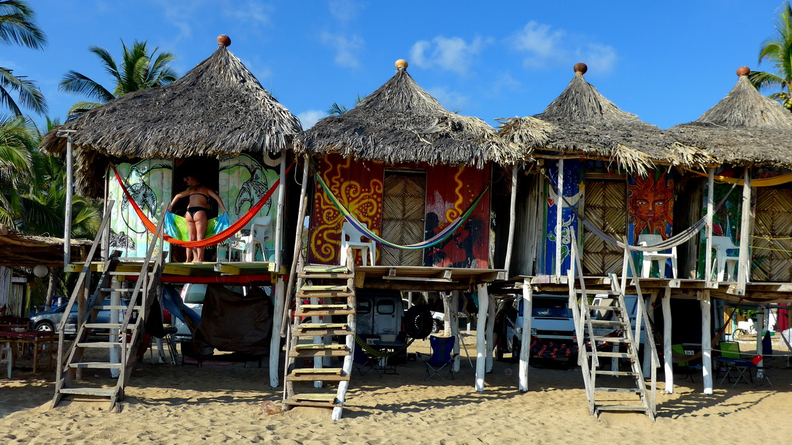
Our campsite La Habana in Zipolite directly on the beach in the shadows of some nice huts


Before we came to Oaxaca we crossed the southern part of Chiapas and climbed up its highest mountain, Volcan Tacaná (4093 meters sea-level) which is located directly on the border between Mexico and Guatemala. Our arrival in Chiapas was weird, again (see article Chiapas Central and East). This time we had no issues with the Mexican customs.

Read more ... Add new comment

Yucatan

The peninsula Yucatan in the northern east corner of Mexico is a wonderful treasury with magic Maya ruins, marvelous Caribbean beaches with exciting sea-life, nice colonial towns and mystical cenotes. A cenote is a natural sinkhole, resulting from the collapse of limestone bedrock that exposes groundwater underneath. It is a huge platform of limestone with an extreme karst nature. There are no visible rivers but it has the longest known on earth in the subsurface. Consequently the cenotes are and were important for human water supply. They were holy for the Mayas and public access was forbidden.

Like the cenotes you find Maya ruins nearly everywhere. Most famous are the UNESCO world heritage sites Uxmal and Chichen Itzá. The latter one had been elected one of the seven wonder of the world few years ago.

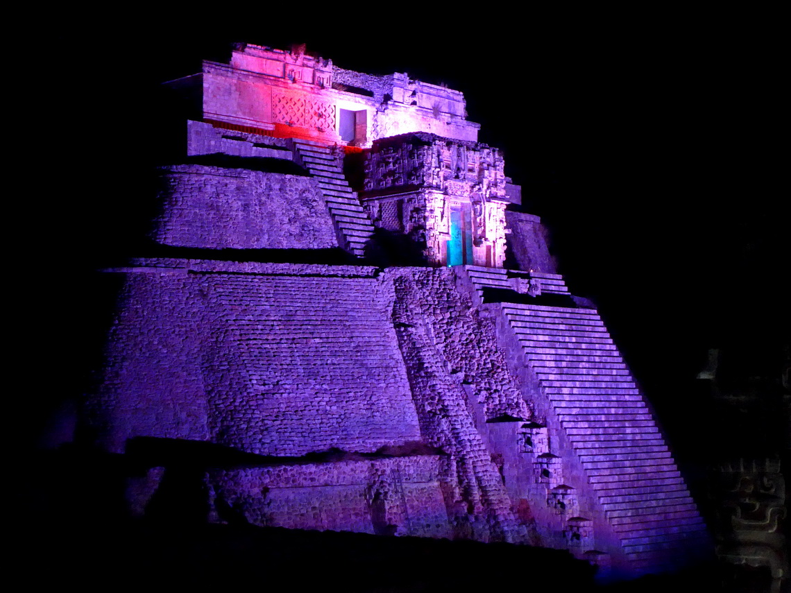
The 39 meters high temple Casa del Advino -The Magician's house of Uxmal


When we entered Yucatan we had a scary experience. Later it turned out that it was less severe.

Read more ... Add new comment

Chiapas Central and East

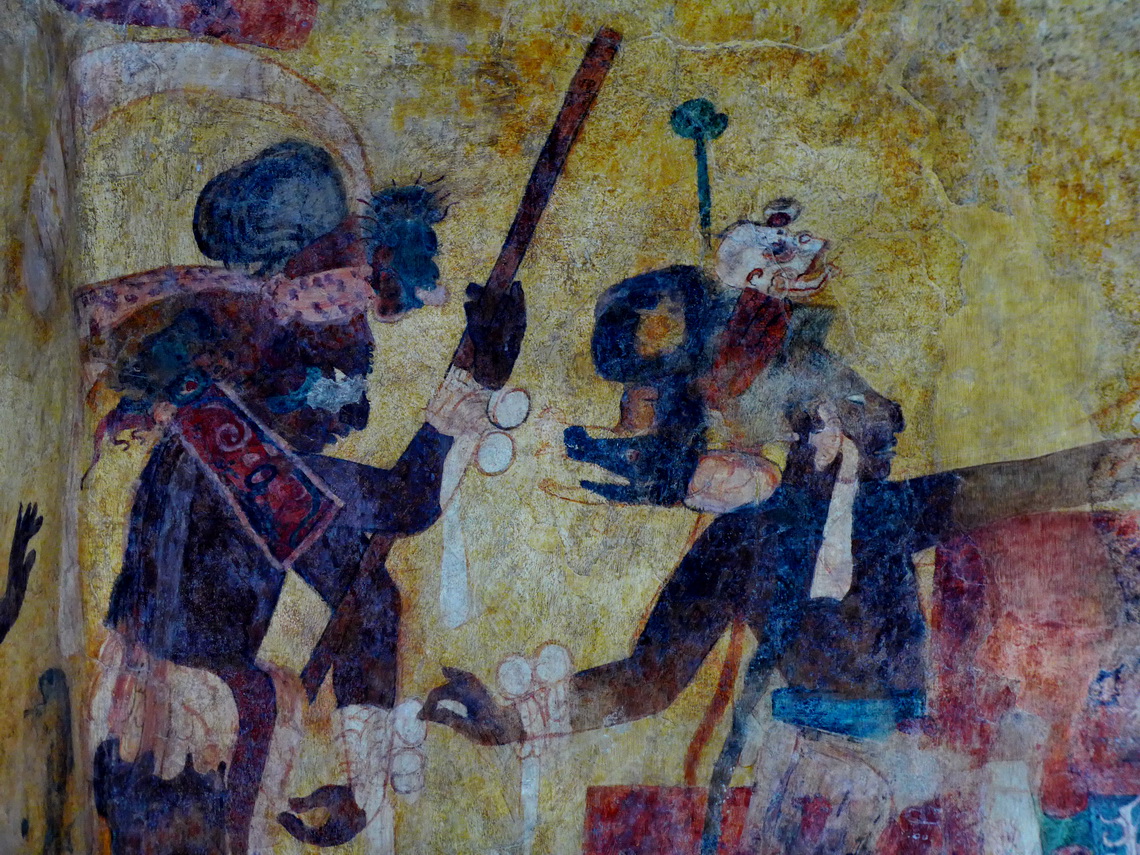
Mexico's federal state Chiapas in its southeast corner has a huge diversity as well as flora, wildlife, landscape, culture and people. 12 ethnics live in Chiapas with different languages like the Tzotzil indigenous people in the villages around the town San Cristobal de Casas, a true colonial treasure. It is located 2000 meters high in the cooler highlands which raises up more than 4000 meters sea-level and which is partly covered with large pine forests. The other lower part of Chiapas is pure jungle with nearly unbearable hotness and humidity. Here you find some of the most exciting Maya sites like Palenque, Yaxchilán and Bonampak. The last one has the best preserved pre-Colombian frescoes of whole America, approximately 1200 years old:

Warrior with a shaman who wears a special headgear


But the tropical paradise has its drawbacks. Besides the booming tourism and oil industries poverty is still an issue. Most of the indigenous people were exploited and sometimes enslaved in the last centuries. This caused a lot of uproars which were usually knocked down violently by the colonial landowners. The last one was the Zapatista movement in the 1990s, which still have a strong influence in some parts of the state.

Read more ... Add new comment
Copyright © 2023 Marion and Alfred. All Rights Reserved. Designed by JoomlArt.com. Joomla! is Free Software released under the GNU General Public License.
Bootstrap is a front-end framework of Twitter, Inc. Code licensed under MIT License. Font Awesome font licensed under SIL OFL 1.1.
Powered by T3 Framework