Marion and Alfred Marion and Alfred
  • Home
  • Itineraries
    • Africa
      • Tanzania
    • Central America
      • Belize
      • Costa Rica
      • Guatemala
      • Honduras
      • Nicaragua
      • Panama
    • North America
      • Canada
      • Mexico
      • United States
    • South America
      • Argentina
      • Bolivia
      • Brazil
      • Chile
      • Colombia
      • Ecuador
      • Paraguay
      • Peru
      • Uruguay
    • From Hamburg to Buenos Aires
    • Asia
      • Cambodia
      • Laos
      • Thailand
      • Vietnam
    • Europe
      • Italy
      • Scandinavia
      • Spain
  • Mountains
    • Africa - Overview
    • Central America - Overview
    • North America - Overview
    • South America - Overview
    • Asia - Overview
    • Europe / Scandinavia - Overview
  • Pictures
  • Maps
    • Map Africa - Tanzania
    • Map America Entire
    • Map Central America
    • Maps North America
      • Alaska and Canada - West
      • Mexico
      • United States - Northwest
      • United States - Southwest
    • Maps South America
      • South America - Northwest
      • South America - Central
      • South America - South
    • Map Southeast Asia
    • Maps Europe
      • Italy
      • Portugal and Spain
      • Scandinavia
      • Spain - Mallorca
  • GPS Coordinates
    • Africa
    • Central America
    • North America
    • South America
    • Asia
    • Europe
  • Guestbook
  • About
    • About Marion and Alfred
    • Chronology
    • Newsletter
    • Contact
  1. You are here:  
  2. Home
  3. Itineraries
  4. South America

Cartagena

The UNESCO World heritage site Cartagena is the undisputed Queen of the Caribbean world. Its mystic old town is surrounded by an ancient impeccable city wall, which contains a labyrinth of cobbled streets, antique balconies with exuberant flowers, medieval buildings and places full of live.

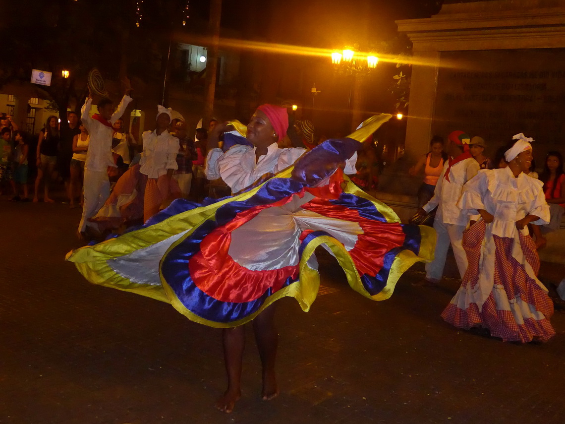
Beauty dancing in the old town


In Cartagena's quarter Bocagrande with its impressive skyline are fancy beaches and many hotels of all categories - this makes it the number one touristic destination in Colombia. In addition Cartagena has a nice environment with marvelous island which are protected by a national park and the active volcano Lodo El Totumo, where you can bath in the mud of its crater. But the cosmopolitan city with more than 1 million inhabitants has also its shadows like slums with unbearable poverty and violent crime.

Few kilometers southeast of Cartagena is a second UNESCO world heritage, the sleepy little town Mompòs in the hot swamps of the lower river Rio Magdalena.

Read more ... Add new comment

Sierra Nevada del Cocuy

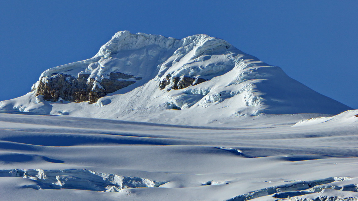
The Sierra Nevada de Cocuy is one of the most spectacular ranges of the Andes with 15 peaks higher than 5000 meters sea-level. Green lush valleys lead to huge glaciers, stunning pinnacles and marvelous lakes. It is located approximately 300 kilometers northeast of Bogotá in the eastern range of the Colombian Andes, the Cordillera Oriental. Besides bumpy dirt roads access to the this paradise is relatively easy, also to some of its summits and glaciers. Many Colombian people come to these mountains to see and feel snow once in their life.

North face of 5130 meters high Pan de Azucar - Sugar loaf

Read more ... Add new comment

Nevado Puracé and the upper Rio Magdalena valley

Nevado Puracé is with 4649 meters sea-level the highest mountain in the area of the beautiful city Popayan in the southwest corner of Colombia (see article Nevado del Tolima and Farallones de Cali). It is an active and heavily smoking volcano in the Cordillera Central (central range) of the Andes which erupted in 1977 the last time. Still it is called Nevado - Snow mountain but due to global warming we saw no bigger snow fields on its top.

The eastern side of Nevado Puracé leads to the Rio Magdalena. This river is called Mother of Colombia because it is the longest one in Colombia, many provinces are on its shore with huge population and it crosses the nearly the whole country from the Ecuadorian border to the marvelous Caribbean beaches. The upper Rio Magdalena valley is a beautiful, pleasant, lush and fruitful area with two Cultural UNESCO World heritage sites: San Agustin, which is famous for its several 1000 years old effigies and Tierradentro, which is grand for its mystic tombs. 
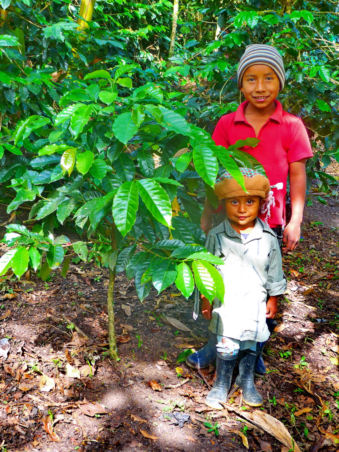
Two kids with Coffee plants on the trail between Alto de San Andres and El Aguacate to the tombs of Tierradentro


We came to Colombia in the late afternoon of December 16th 2014 and we headed to the little town Tuquerres to visit Laguna Verde and Volcan Azufral. But it was raining cats and dogs when we wanted to start early next morning.

Read more ... Add new comment

Cayambe and Corazon

Cayambe is a mountain of superlatives: It is with 5790 meters sea-level the third highest peak of Ecuador. It is the only place on the equator of our planet where you find ice and snow permanently. It is a perfect white volcanic cone which a tremendous huge mass of ice.

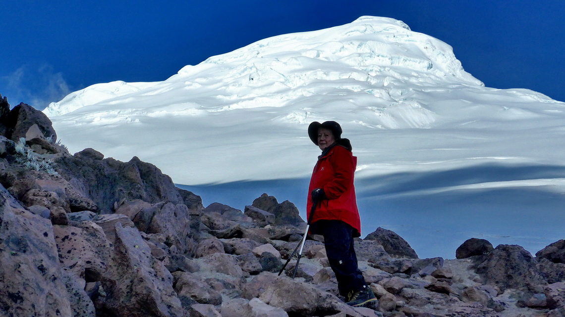
Marion with Cayambe


Before we dared to go to Cayambe we had climbed up 4790 meters Corazon which is few kilometers south of Quito west of the little town Machachi. Corazon means heart and indeed with some fantasy you might find a heart in its shape.

Read more ... Add new comment

The Oriente - Misahualli

The little village Misahualli is the main touristic destination in the eastern part of Ecuador - El Oriente in the hot, humid, green and lush area of Amazonia. It is located on shore of the river Rio Napo, one of the mightiest tributary of the Amazon river. Misahualli is an ideal base for trips into the jungle with a very good infrastructure.

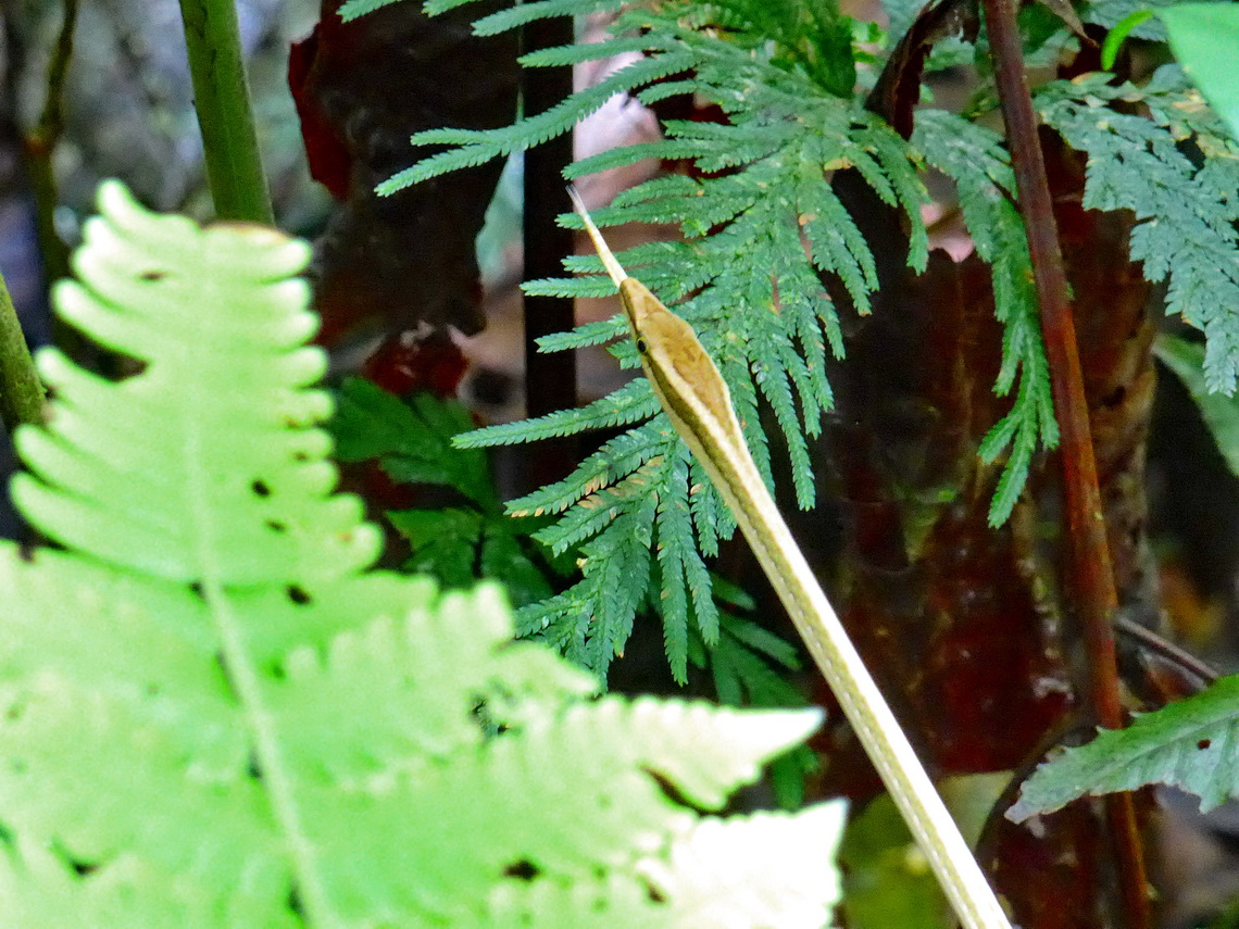
Brown-white snake of the rain forest


We had been already two times in Ecuador, firstly in May 1981 and secondly in January 2004. 1981 we had been visiting the indigenous people Aucas- an exhausting 5 days trip. 2004 we had taken a public boat to Coca - a 10 hours voyage, which is no longer possible because today is a good paved road to Coca and the public transportation is done with buses. Tommy had been never in Amazonia, thus we decided to travel a third time to Misahualli. Again it was an amazing trip into the wonders and secrets of Amazonia.

Read more ... 1 comment

Galapagos

The Galapagos island are famous for its enormous biodiversity. Is it one of the place on earth with the highest level on endemism, for instance 97% of the reptiles are found nowhere else. Due to its remoteness most animals are everything but shy. It is a perfect place to watch incredible many, different and nice birds, reptiles, turtles, sea lions and others. In addition its marine fauna is fabulous; there are excellent snorkeling and diving opportunities. In 1835 Charles Darwin started on Galapagos his work of the theory of evolution by natural selection.

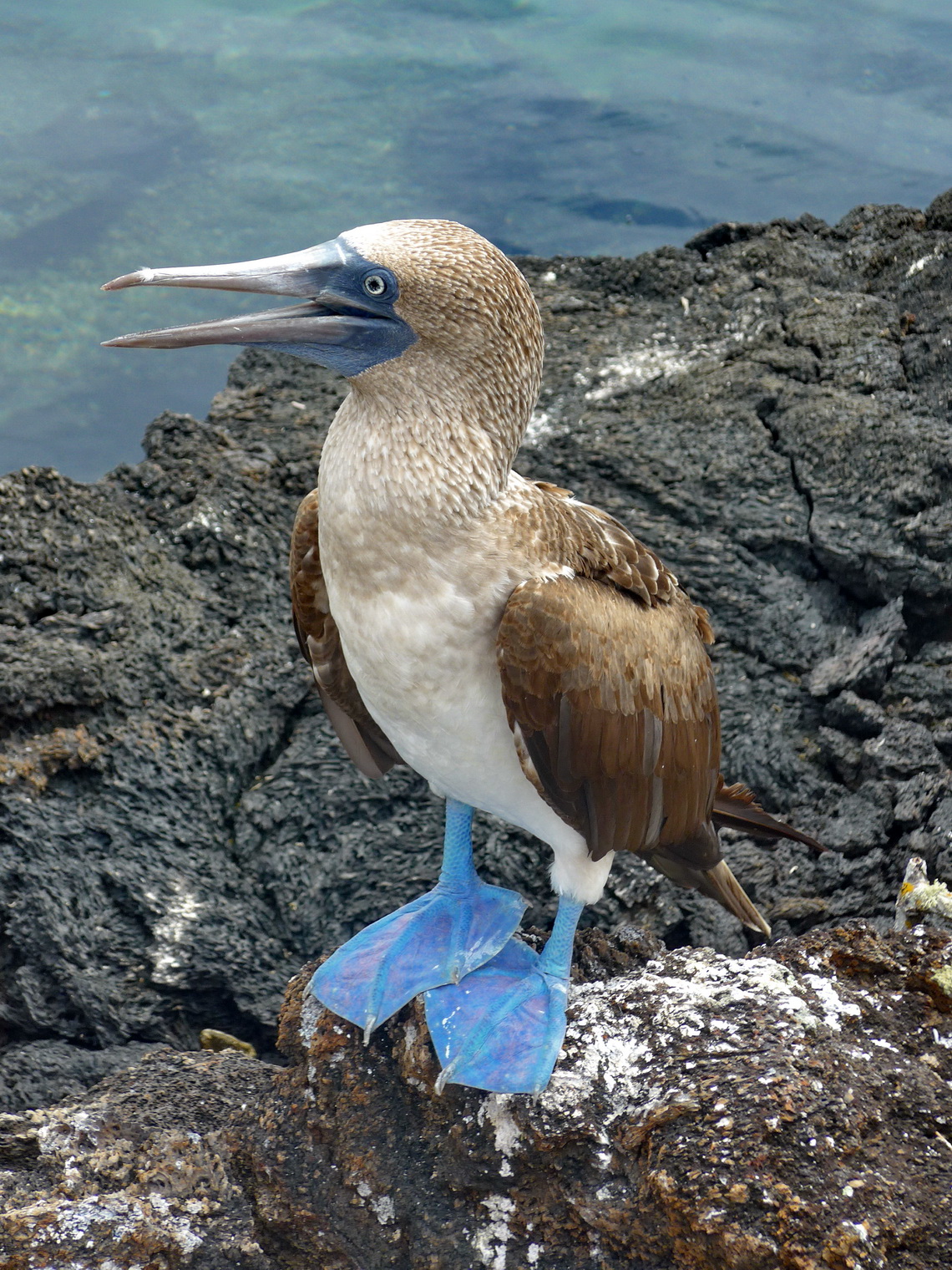
Blue-footed booby on Isla Isabela

The islands are 900 km west of Ecuador's shore and located on the Nazca tectonic plate on a hot spot which is moving, yet. Their origin is caused by volcanic activity, which is still ongoing with eruptions in the western part. Usually clouds are coming from the south and sticking on the single volcano of the major islands. Just the largest one, Isla Isabela consists of six. Only there human settlement is possible on the larger island. All other sides of the volcanos and smaller islands are pristine and hostile deserts without any fresh water.  

Read more ... Add new comment

Las Pichinchas, Laguna Yahuarcocha and the southern Pacific coast

The volcanoes Pichinchas are located few kilometers West of Quito, Ecuador's capital. Besides their proximity to Quito it is a remote and pristine area in altitudes higher than 4000 meters with excellent mountaineering capabilities. The highest summit is 4794 meters high Guagua Pichincha - new Pichincha, which erupted in the year 1999 and covered the 2 million city Quito with a thick layer of ash. Marks of this incident are still clearly visible and Guagua Pichincha has a huge caldera with many smoking and stinking points.

The second main peak is the rocky Rucu Pichincha - old Pichincha, which can be accessed easily from the funicular TeleferiQo, a main attraction of Quito which brings you up to 3950 meters sea-level in few minutes. We did the marvelous traverse between these two peaks - a wonderful two days hike.

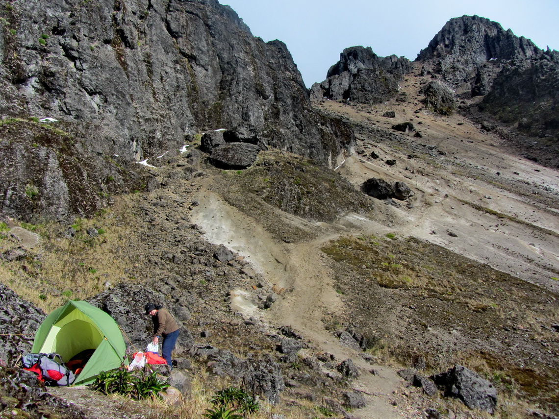
Our sleeping place with our little tent with 4698 meters high Rucu Pichincha on the top right


When we came back to Ecuador in autumn 2014 we visited primary the beautiful Pacific coast South of the medium sized town Manta with the stunning Machalilla National Park. Our base in October and November 2014 was the cozy Finca Sommerwind on shore of Laguna Yahuacocha nearby Ibarra because we had trouble with our car, again.

Read more ... Add new comment

Northern Pacific coast and Mindo

The little town Mindo is located on the lower western slopes of the Andes close to Quito in a terrific rain forest. Many different birds like toucans and hummingbirds can be seen there. Its vegetation is abundant, its climate is perfect for orchids and other beautiful plants. Ecuador's hot northern Pacific coast is little Africa because the majority of its inhabitants are descendants of former slaves. This region is touched only punctually by tourism despite marvelous beaches and picturesque villages. Its largest town Esmeralda is Ecuador's main port for oil, which is found on the eastern slopes of the Andes.

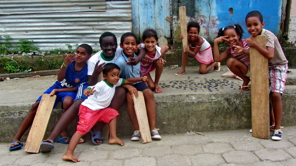
Kids in Borbón, close to the most northern Pacific coast of Ecuador


Before we flew back from Ecuador to Germany beginning of May 2014 we did a circle from Ibarra via the good street to the coast (San Lorenzo), along Ecuador's northern coast to Galera and to Quito over the direct excellent road which touches Mindo.

Read more ... Add new comment

Beaches and more - Santa Marta

The sunny and hot Caribbean cost around Santa Marta is a terrific part of Colombia with amiable people, stunning beaches, snowy mountains, lively towns, incredible nature and a lot of history.

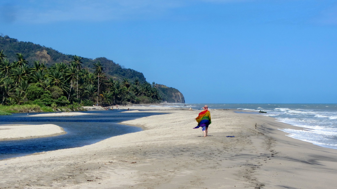
Marion on the western beach of Palomino


The Caribbean cost is the major tourist destination in Colombia with countless domestic and foreign visitors. Its infrastructure is pretty good developed. We hurried by plane in a rush to Santa Marta because we wanted to see the carnival of its neighbor city Barranquilla. Colombian people claim that this is the second biggest and most important carnival of the continent after Rio's.

Read more ... Add new comment

Amazonia the second

Leticia is exactly on the triangle border Brazil, Colombia and Peru. No street leads to the capital of the Colombian province Amazonas. Leticia is the southernmost town of Colombia and an important port city of the Amazon river. It is a bustling town of approximately 40,000 inhabitants more or less grown together with the Brazilian town Tabatinga. There are no real border between Brazil, Colombia and Peru on the other side of mighty Amazon, and it is possible to pass the virtual borders without passports, stamps or visas. The people living here are feeling like Amazon citizens and not Brazilians, Colombians or Peruvians. Most of them speak Spanish as well as Portuguese. Thanks to its remoteness the jungle in this region is relatively well preserved with huge trees, abundant wild life and some indigenous tribes.

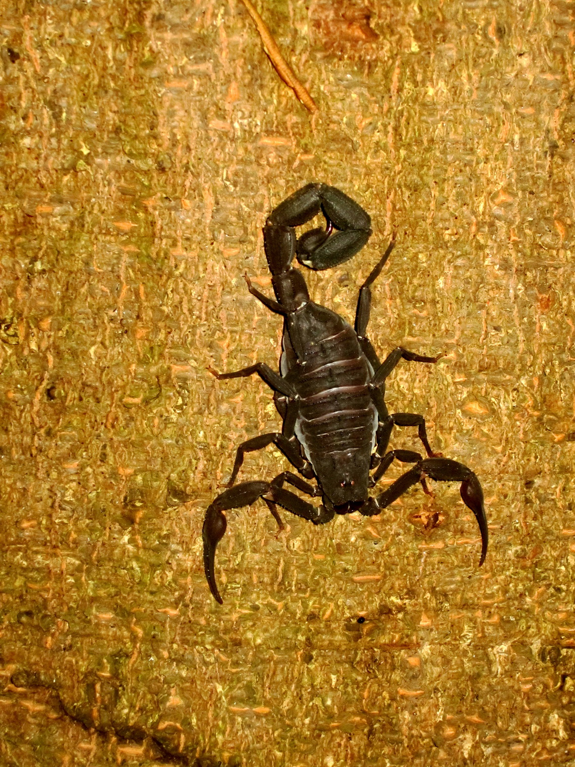
Scorpion of the Amazon


When we came to the nice hostel La Jangada owned by the Swiss guy Herve, he convinced us to do a three days trip on Rio Yavari together with the German / Australian couple Anna and Duncan.

Read more ... 1 comment

Bogota and Coffee Farms

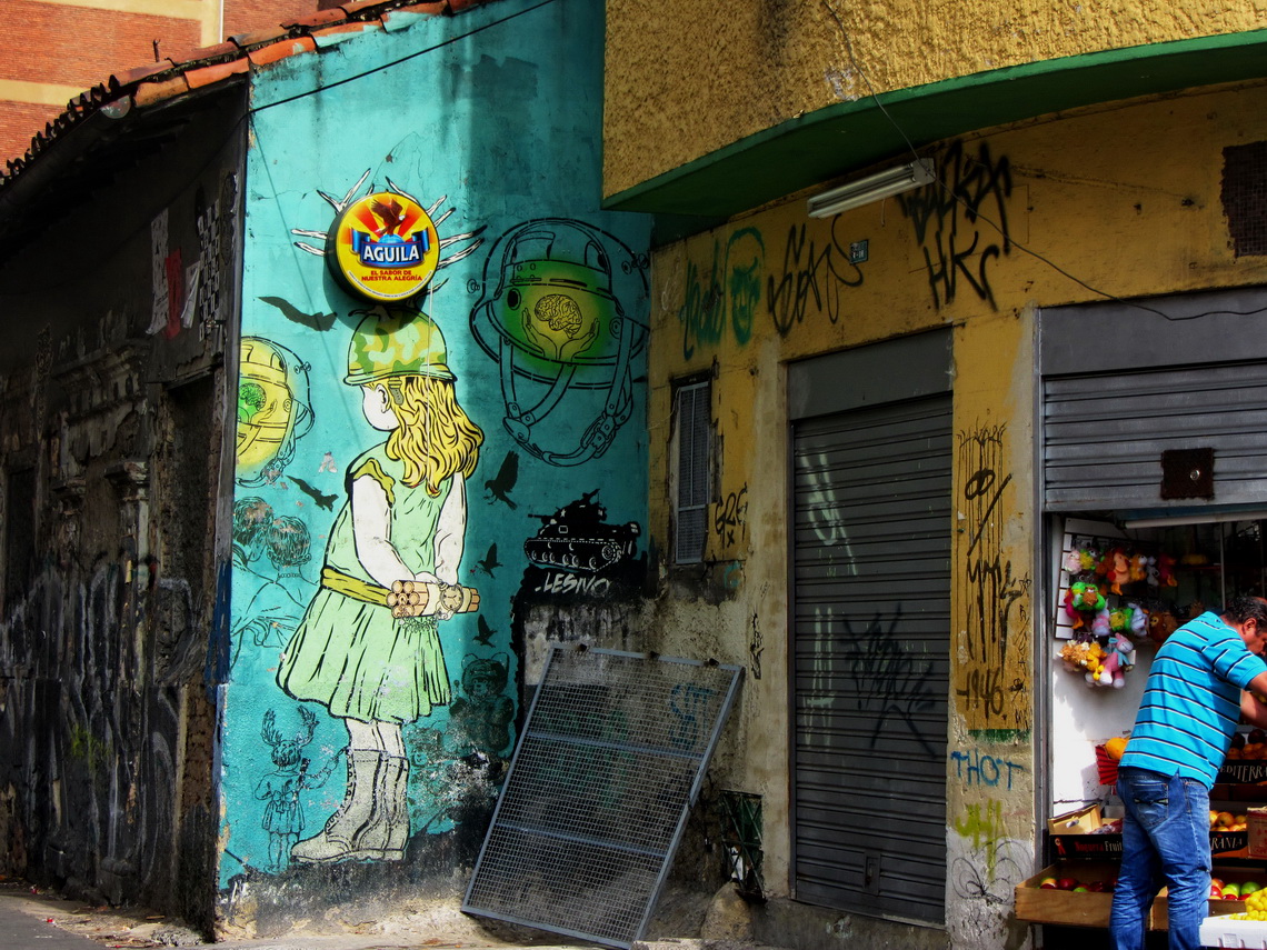
The capital of Colombia, Bogota is with more than 9 millions inhabitants one of the biggest metropolis in South America. It is located 2600 meters high on a plateau on foot of the Cordillera Oriental of the Andes nearly in the center of Colombia. Bogota has a wealthy face with fancy shopping malls but on its other side poverty is still a huge problem like homeless people sleeping on its streets and begging for some money or food. For tourists it is a relative pleasant city with interesting museums and the picturesque old town Candelaria. Bogota is famous of its wall paintings which can be seen almost everywhere. Some demonstrate critics and resistance to political injustices, exploitation of people or social evils.

Dangerous girl with dynamite in her hands


Before we came to Bogota we visited a coffee farm, a must to do in Colombia. Hacienda Guayabal close to Manziales was an excellent choice in a marvelous environment with lovely people. There was a little surprise when we came to the farm after struggling with a steep and narrow road.

Read more ... Add new comment

Nevado del Tolima and Farallones de Cali

Majestic Nevado del Tolima is with 5215 meters sea-level the second highest peak of the Cordillera Central in the middle of Colombia, a perfect volcanic cone adorned with a glacier on its top with enormous mass of ice and snow. Full mountain equipment like crampons or rope is essential to achieve the summit. Its access is relatively easy but very long because all possible useful starting points are low, around 2500 meters sea-level.

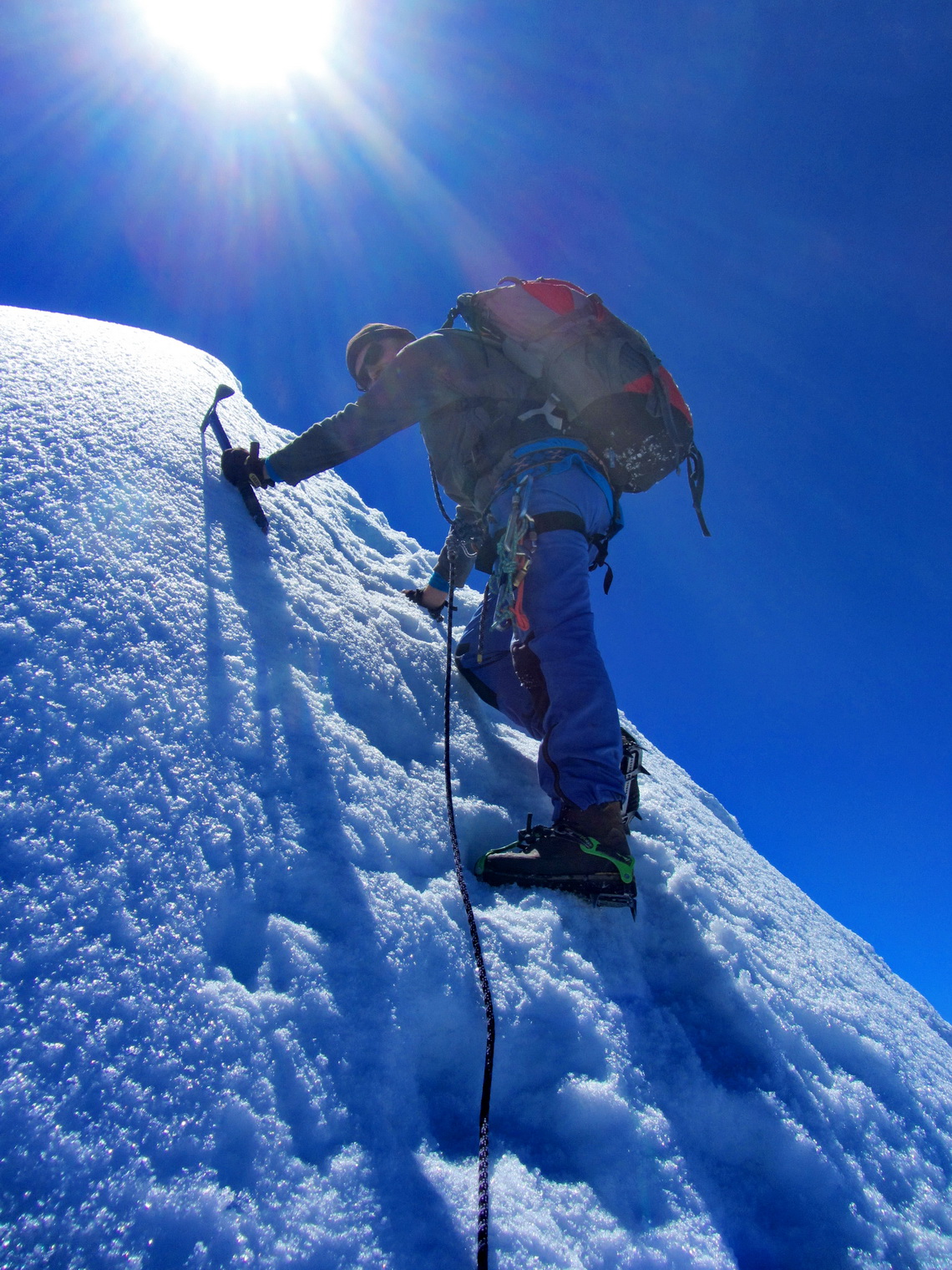
The most critical part to the summit of Nevado del Tolima


Between the Ecuadorian border and the Parque Nacional Los Nevados with Nevado Tolima are the Farallones de Cali, a wonderful mountain region close to the huge metropolis of Cali. They are part of the western Cordillera Occidental of Colombia with peaks up to approximately 4000 meters sea-level.

Read more ... Add new comment

Pico Fuya Fuya, Volcan Rumiñahui and Laguna de Cuicocha

Pico Fuya Fuya is with 4286 meters sea-level the highest peak around Laguna Mojanda in northern Ecuador close to the famous village Otavalo. It is a popular 3 to 4 hours hike in a marvelous environment. Few kilometers North is the beautific Laguna Cuicocha with two islands. It is an outstanding dark lagoon in a collapsed volcanic crater. The 5 to 6 hours trail around the lake provides excellent views.

4939 meters high Volcan Cotacachi seen from Laguna Cuicocha


Volcan Rumiñahui with its three peaks (up to 4712 meters sea-level) is located opposite of Cotopaxi, the second highest summit of Ecuador and with 5897 meters high one of the tallest volcanoes on earth. Both are in the wonderful national park Parque Nacional Cotopaxi, which can be accessed free of charge now and provides good campsites without any costs.

Read more ... Add new comment

Pacific Coast North of Lima

Southern Peru has Machu Picchu, Cusco and many other historical sites of the Incas but on the Pacific coast north of Lima are innumerable testimonies of ancient Peru, many still not detected or buried in the sand of the extreme dry Atacama desert which is a perfect conservation medium. The UNESCO world heritage site Caral is supposed to be one of oldest city on earth, founded 4500 to 5000 years ago. Other top highlights are the ruins of the pre Inca cultures Chavin, Moche, Sican and Chimu like Chan Chan the mightiest town of our world built with adobe, which we had visited in the year 1980.

Today there are huge cities like Trujillo or Chiclayo in the desert, where the sweet water from the glaciers of the Andes flows into the Pacific Ocean. Close are beautiful beaches, which are popular holiday destinations in the austral summer. The coast turns 90 degree on the most western point of the continent and the the impact of the cold Humboldt ocean current weakens. The landscape becomes more green and tropical the closer you come to Ecuador. The water temperature is pleasant and on the border are the only mangrove forests of Peru located. This region is very fruitful with many rice, bananas and sugarcane fields.

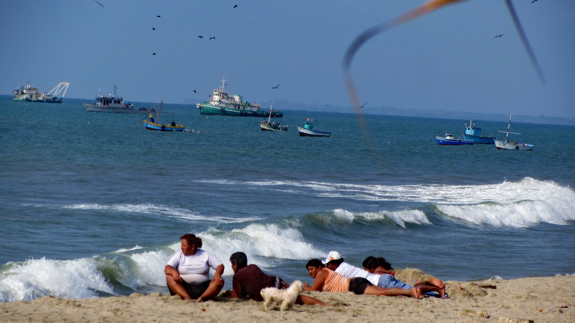
Peruvian family enjoying the beach of Zorritos

Approximately hundred kilometers Northwest of Lima is the incredible lush national park Reservas Nacional Lomas de Lachay, a true oasis in the dryest desert of our planet. The mist of the ocean is sticking so long on its crests that a rich fauna including raptors and flora with trees are able to exist. Lachay has a remote campground and superb hiking trails over and around its ridges. We were lucky because we spent a sunny day in Lachay, which is very rare.

Read more ... Add new comment

Cordillera Huayhuash

The spectacular Cordillera Huayhuash lies few kilometers North of the famous Cordillera Blanca and its main city Huaraz. It is a relative small range with stunning pinnacles sugared with enormous mass of ice and snow. Nevado Yerupaja is with 6617 meters sea-level its tallest peak and the second highest mountain of both: Peru and the tropics. Like all other major peaks of the Cordillera Huayhuash access to its summit is extremely difficult and dangerous. Even today some peaks are without any successful ascents for years.

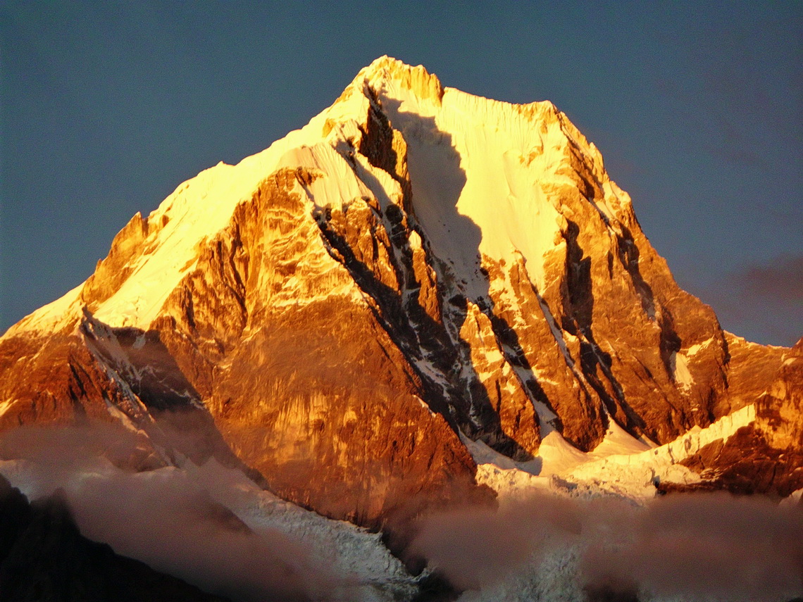
North-east face of Nevado Yerupaja at sunrise


Thanks to the book and movie Touching the Void Cordillera Huayhuash became very popular in the last years: It shows the unbelievable story of Joe Simpson and Simon Yates when they climbed up the south-west face of 6344 meters high Siula Grande in the year 1985. On the way down Joe Simpson broke his leg. His companion roped him down the steep, dangerous and difficult north-west ridge. Suddenly Joe Simpson hung under an overhang and he couldn't move. There was no more rope. Simon was standing in deep powder on the very steep ridge. The weight of Joe Simpson moved him slowly but constantly to the abyss. His only choice to survive was to cut the rope. Joe fell into an huge crevasse. Simon searched him desperately but couldn't find him. He returned to the camp and was sure that Joe didn't survive the crash but Joe found a way out of the crevasse through the glacier with his broken leg. After three days he came back totally exhausted to the camp in the night just before his companion wanted to leave.

Cordillera Huayhuash can be circled in a 10 days hike with many high cols (two more than 5000 meters sea-level), pristine lagoons and beautiful campsites. Only one little village is on its way - a lot of food and other stuff must be carried. Thus we searched for mules in Chiquian, the last bigger settlement on the western side of Cordillera Huayhuash and reachable via a decent paved road.

Read more ... Add new comment

Ayacucho, Huancavelica and Lima

Ayacucho is supposed to be the second most attractive and fascinating town in the Peruvian Andes (after Cusco). Ayacucho, also called Huamanga by its 180,000 inhabitants, has a huge colonial inheritance with many beautiful churches and buildings. Andean life is very traditional and authentic because the tourism industry has neglected it more or less so far. The region of Ayacucho was the center of the Wari culture (700 - 1100 AD), which dominated the southern part of Peru between the city Chiclayo and lake Titicaca.

The name Ayacucho means corner of the death. It is located in a poor, rural and remote region. In the early 1980th the Maoist guerrilla organization Sendero Luminoso (Shining Path) was founded here and a brutal civil war with Peru's military government broke out. More than 70,000 people were killed until 1992, mainly innocents in the villages of this region. The shadows of this terrible time are still visible and perceptible, for instance most of the elderly people are very shy or there are doors secured with eight heavy locks.

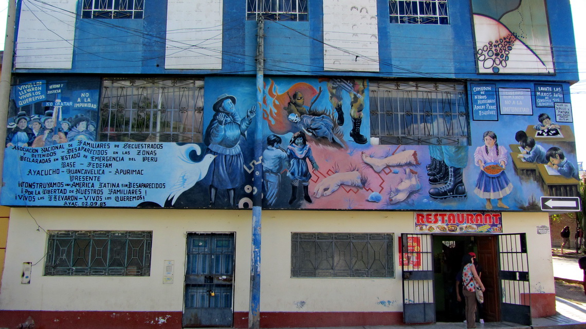
Wall of the sad Memorial Museum for the murdered people


We came to Ayacucho from Cusco on Saturday late afternoon, August 10th 2013. This street had been partially horrible because it was under construction. Two times we were nearly in detonations with huge falling rocks. Sometimes we had to pass awful deviations on narrow and steep rugged or muddy dirt roads. Like in most cities of South America there were high bumps every few meters on the street to prevent drivers from speeding. On a very high one our car gave a loud strange bang and the left top side moved down a little bit weirdly.

Read more ... Add new comment

Amazonia - Peru

The grandiose river Amazon is with its uncountable tributaries with a length of more than 6000 kilometers the biggest river system and tropical rain forest on earth. The complete basin of Amazonia covers more than a third of South America. Besides exploitation, deforestation and environmental pollution wild life is abundant and biodiversity unique. Thus it is called the green lung of our planet. Amazonia is a remote, lush, green, hot, humid and wet area covered with rain jungle but with just few streets and settlements. Transportation on its rivers and by air is very often the only choice, for instance to Iquitos which is with more than 400,000 inhabitants the largest city in the Peruvian Amazona. Indigenous life still exists with many legends, myths and priceless knowledge about the secrets of the rain forest.

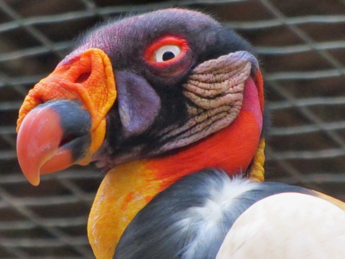
Condor of Amazonia in the zoo of Pucallpa

Its main sources Rio Marañon and Rio Ucayali rise in the Peruvian Andes on its eastern slopes. Peru has a proportion of 12 percent of Amazonia. It covers more than 60 percent of Peru's size but less 10 percent of its people are living there. The Peruvian people call their Amazonia La Selva - virgin forest. After our car had gotten broken in Ayacucho we realized that we had to wait more than three weeks for spare parts from Germany. Thus we took light backpacks and traveled by public transportation into the Peruvian heart of Amazonica, which was an unforgettable stunning itinerary for us.

Read more ... Add new comment

Cusco, Machu Picchu and Puno

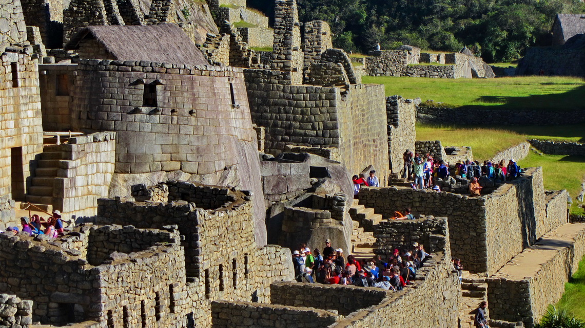
Machu Picchu is probably the most famous tourist destination in South America. The mystic Inca site is located isolated on the eastern slope of the Andes in a marvelous and nearly tropical environment. Its buildings are in very good conditions. Thus life of the Incas can be imagined well besides thousands of visitors every day. In addition it shows the fabulous engineering and construction capabilities of the Incas.

Buildings of Machu Picchu with the only round shaped house


But Machu Picchu is not the only historical site of the Incas in southern Peru. Cusco was the navel and center of the Inca world. Today the city with more than 300,000 people is the major hub for tourists in Peru but also here you can feel former Inca life. Close to the town is the Inca fortress Saqsaywaman, on the way to Machu Picchu in the sacred valley are Ollantaytambo and Pisaq.

After crossing the Bolivian border we traveled along the western shore of lake Titicaca. The main city Puno is famous for its festivals and the floating islands on the lake Titicaca, established and inhabited by the indigenous Uro people. Nearby are Chullpas, large tomb towers put up by the pre Inca culture Colla for their important people. Later the Incas used and enhanced their Chullpas.

Read more ... Add new comment

Ancohuma and Copacabana

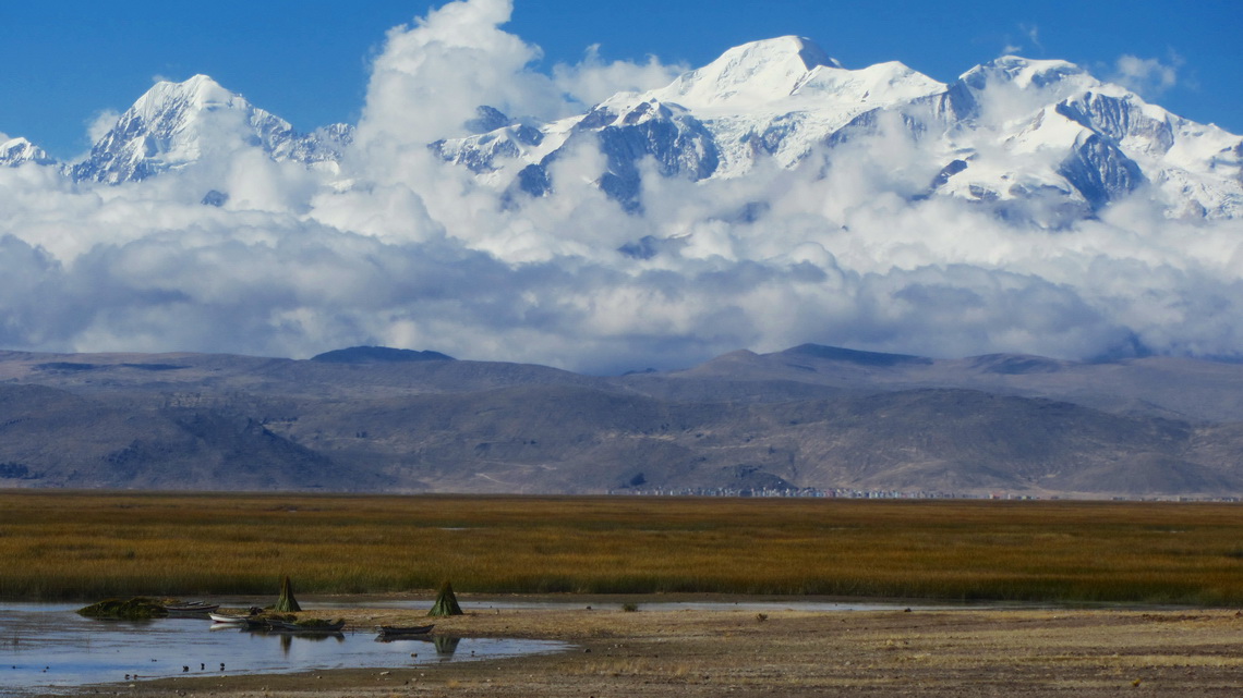
Ancohuma is with 6427 meters sea-level the tallest peak around the largest lake of Bolivia and Peru Lago Titicaca which is with 3810 meters sea-level the highest navigable lake on earth. It is a ice and snow castle and the second highest summit of the awesome mountain range Cordillera Real of the Bolivian Andes. Our dream was to achieve its top but we had bad conditions in the early morning like heavy snowfall, unusual high temperatures and groundless deep snow. Consequently we decided to turndown at 6256 sea-level below the last steep slopes. Especially we didn't want to accept the serious risk of avalanches. Nevertheless this trip was an outstanding nice experience for us.

Illampu and Ancohuma seen from lake Lago Titicaca


The tour to Ancohuma starts in Sorata, a pleasant and warm village on the eastern slopes of the Cordillera Real at 2700 meters sea-level. After struggling with its narrow and steep streets we found the heavenly campsite Altai Oasis with wonderful people (GPS coordinates: S15 46.179 W68 39.306). Johny and Simon thank you so much for your extraordinary support and creating this marvelous place.

Read more ... 1 comment

Cerro Austria

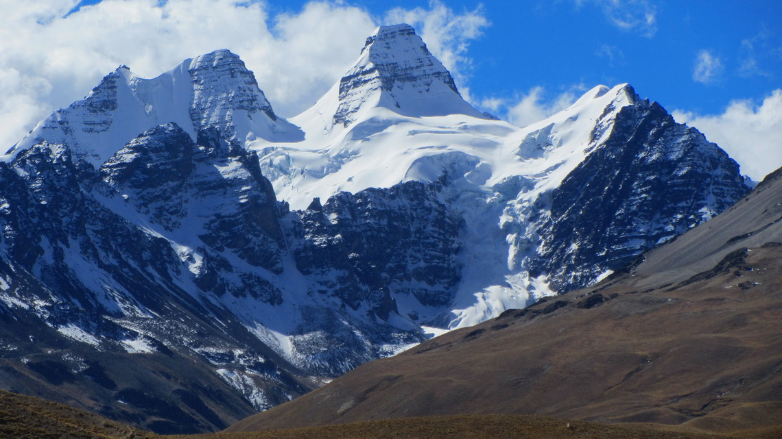
The marvelous Condoriri range of the Cordillera Real is close to La Paz nearby the village Estancia Tuni. It is named after its most striking mountain which looks like a Condor seeing from West. It is "just" about 5600 meters high but very difficult to access due to serious technical ice and rock climbing. West of the main peak is the much easier Cerro Austria (5328 meters sea-level) which provides stunning views to nearly the whole range of the Cordillera Real.

Cerro Condoriri with the head and its two wings


There are other nice trekking mountains in this area like Cerro Mulamania (4949 meters high) and Cerro Thipala (5045 meters sea-level). But before we came in this region we had crossed Bolivia from Tupiza to La Paz. Outstanding were the rocky mountains Cerros Kari Kari close to Potosi.

Read more ... Add new comment

Most northern part of Ruta 40

The more than 5200 km long street Ruta 40 strechtes from the very South of Patagonia to the Northwest corner of Argentina along the Andes. It is one of the most famous, legendary and scenic roads on earth. Few years ago travelers had to deal with difficult dirt and gravel parts including severe river crossing. Nowadays most of the street is tarred or pavement is in construction or planned.

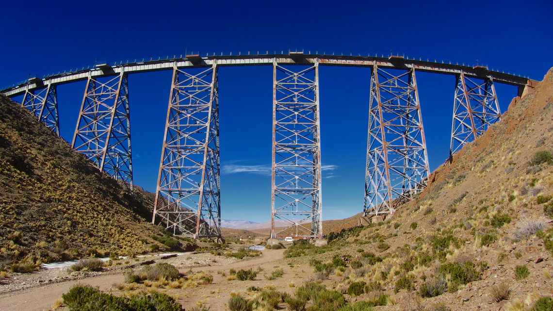
But the most northern part is still as rough as in former times. In addition it passes its highest point, the dreaded Abra del Acay. With 4895 meters sea-level it is higher than the summit of Montblanc, the tallest peak of the Alps. South of this col are beautiful villages like Cachi, Payogasta and La Poma with some touristic infrastructure. North is the mining town San Antonio de los Cobres with its engineering masterpiece La Polvorilla, an impressive railway viaduct with about 50 meters high. The largest salt lake of Argentina Salinas Grandes follows. Finally the Ruta 40 merges with Ruta 9 to the border to Bolivia via the town Quiaca.

Railway bridge Viaducto La Polvorilla

Read more ... 2 comments

Cafayate and the Yungas of Argentina

The little town Cafayate and its environment is a natural treasury on foot of the Andes in the northwest corner of Argentina, more than 1500km away from Buenos Aires. After Mendoza it is the second most important wine region in Argentina. 200km North of Cafayate is the pleasant holiday destination Tafi del Valle in the first valley of the mountains.

The Yungas are the rainforests on the eastern shore of the Andes at lower altitudes from 500 meters to 2000 meters sea-level. The are situated nearly the entire Andes ranges from Venezuela to the province Salta in Argentina. Clouds from the Atlantic Ocean are sticking on the first mountain ranges. In Argentina these clouds are sometimes renewed in the Brazilian highlands, which are covered with  thick jungle. Thanks to tropical temperatures and high precipitation wildlife is abundant in the Yungas zones. For instance in Argentina's Yungas are: Tapirs, Peccaries, Pumas, Monkeys and a lot of different kind of birds.

Landscape between Tafi del Valle and Cafayate


End of February 2013 we had parked our VW California in the premises of our friends Cristian and Sebastian in the northern suburban Tigre of Buenos Aires to fly to Germany. They have several medium-sized motor-homes which they rent to tourists, see their webpage www.andeanroads.com. In addition they offer a small but cozy campsite in the region of Buenos Aires and a parking lot for motor-homes (GPS coordinates: S34 27.058 W58 40.916). Cristian loves Volkswagen Bullies, especially campers. When we came back to Argentina on May 22nd 2013, he had a nice welcome surprise for us.

Read more ... 2 comments

Esteros del Ibera

600 km North of Buenos Aires the terrific wetland reserve Esteros del Ibera offers abundant wildlife like crocodiles, capybaras, monkeys, deers and a lot of different kind of birds, reptiles and insects. It is a pristine flat lowland with many lakes, swamps and morasses. Thanks to its remoteness only few people live in this fantastic region and tourism is a little bit underdeveloped. Colonia Carlos Pellegrini is the only larger settlement with few hundred inhabitants but all needed facilities like little hostels, some basic food shops and one campsite.

But access to this paradise can be difficult because a 80km dirt road leads from the South (Mercedes) to Carlos Pellegrini with some ugly, muddy and watery parts after rainfalls, which are quite often. The more rough northern course from San Tome is twice the way and includes some long sandy stages.

Half the way to Buenos Aires is the superb Parque Nacional El Palmar on the western shore of Rio Uruguay with the last bigger forests of the origin Yatay Palm Trees in Argentina, nice beaches and also stunning wild life. 

We came back to Argentina on February 15th 2013 and we decided to drive directly the northern road to Carlos Pellegrini, which was a little bit sandy but dry - no big deal with our car.

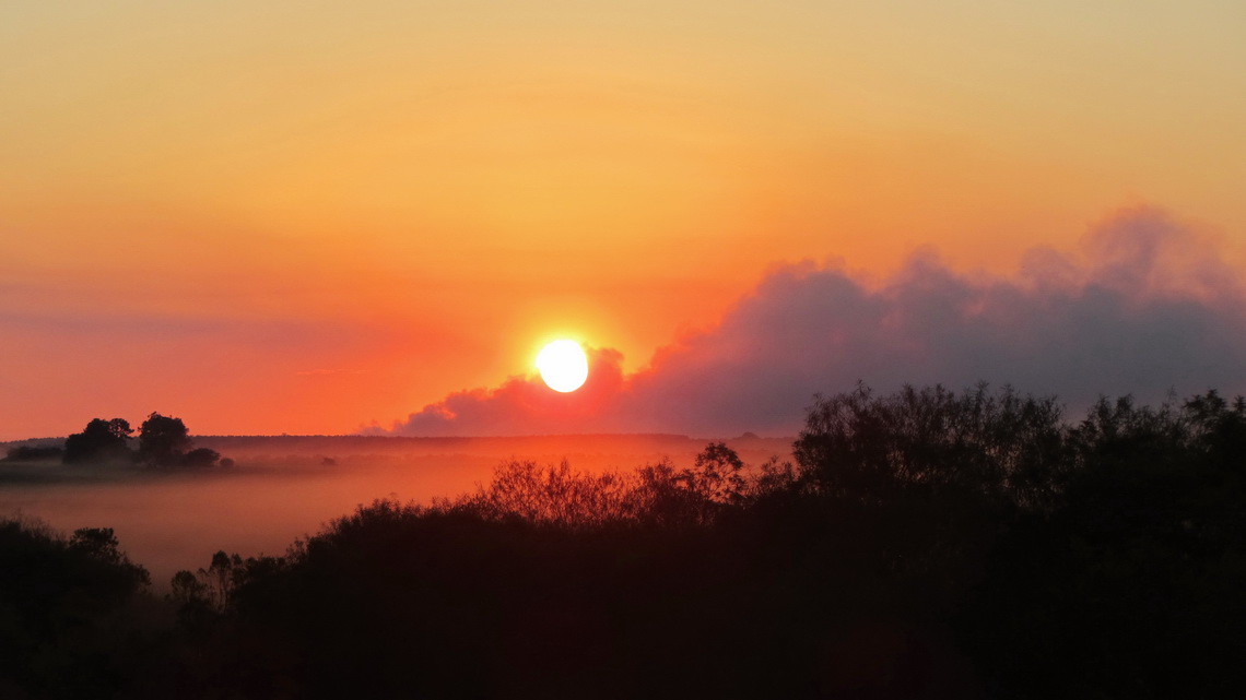
Sunset on the way to Carlos Pellegrini with some smoke from burning fields

Read more ... Add new comment

Santa Catarina

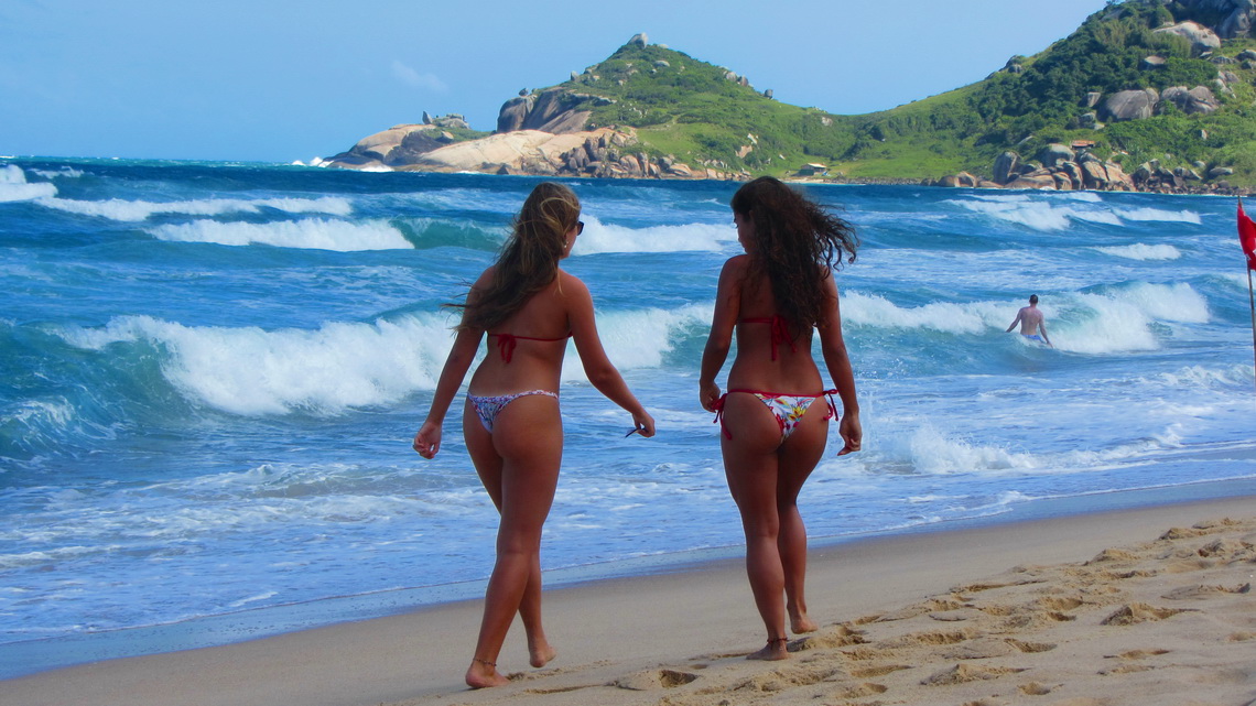
The state Santa Catarina is famous for its spectacular coastline. Green mountains covered with dense rain forest hit the Atlantic Ocean. Thus it is one of the major holiday destinations within Brazil, especially in the hot summer period. But the tourism has some negative impacts like environmental pollution, high prices and exceeding building boom. Some cities like Balnerario Camboriu have a skyline like Manhattan. We wonder if all Brazilians have apartments on Santa Catarina's beaches.

But we found some pristine beaches, mainly on the island Ilha de Santa Catarina. It is the heart of this state, also its beautiful capital Florianopolis is located on the isthmus between the continent and the island. More marvelous beaches are on the peninsula Bombinhas.

The population of Santa Catarina have their roots generally in Germany and Italy. There are town names like Nova Trento or Alfredo Wagner. In its third largest city, Blumenau and its surroundings most of the people speak fluently German. Blumenau hosts the second biggest Oktoberfest in the world (after Munich).

Two beauties on the beach Praia Mole on the eastern shore of the island Ilha de Santa Catarina

Read more ... 1 comment

Sao Paulo and Costa Verde

Sao Paulo is a city of superlatives: According to lonely planet it is with more than 20 millions inhabitants the third-largest metropolis on earth. It is the economical, financial and cultural center of Brazil, even of South America. But it is a huge cluster of skyscrapers and urban developments with few green parks. Like in Rio the gap between rich and poor is intolerable. Consequently Sao Paulo suffers an enormous high crime rate with many killed people every day. It is infected deeply by the war of drugs.

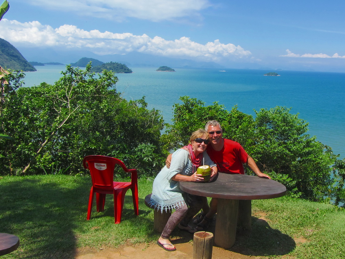
The outstanding marvelous Costa Verde stretches along the Atlantic coast East of the city of Rio de Janeiro. It is the place where the steep and green mountains of Serro de Mar hit the Ocean. Thus there are many pristine islands, beautiful bays and terrific beaches. Costa Verde becomes Litoral Paulista, when it crosses the state border to Sao Paulo.

A major tourist destination is the lovely and lively village Paraty with many picturesque buildings and remote beaches. Most of them are accessible only by boat and some by foot through the lush and dense rain forest. 

Pristine islands in the Baia de Ilha Grande, seen from the viewpoint South of Corumbe (approximately 10km East of Paraty)

Read more ... Add new comment

More Articles ...

  1. Rio de Janeiro
  2. Teresopolis, Nova Friburgo and Arraial do Cabo
  3. Pico da Bandeira, Domingos Martins and Ouro Preto
  4. Salvador and the coast of Bahia
  5. Chapada dos Veadeiros and Chapada Diamantina
  6. Brasilia, Cidade de Goias and Pirenopolis
  7. Crocodiles and more - Pantanal
  8. Torotoro National Park and the way to the Brazilian border
  9. Volcan Parinacota
  10. Volcan Parinacota
  11. Cerro Yana Sanca Grande and Cotahuasi Canyon
  12. Condors and more - Colca Canyon
  13. Nevado Chachani and Volcan El Misti
  14. Huayna Potosi
  15. Iquique and Arica
  16. Volcan Tinguiririca
  17. Chiloe and Valdivia
  18. Volcan Chillan and Volcan Antuco
  19. Volcan Lanin, the king of the lake districts
  20. Volcan Calbuco
  21. Carretera Austral
  22. Perito Moreno Parque Nacional and Cueva de los Manos
  23. Cerro Torre, Cerro Fitz Roy and Glaciar Perito Moreno
  24. Pali Aike and Torres del Paine - Christmas 2011
  25. Tierra del Fuego - Argentina
  26. Tierra del Fuego - Chile
  27. Punta Arenas and its surroundings
  28. Torres del Paine - Circuito Grande
  29. Penguins and more - Atlantic Coast of Patagonia South of Puerto Madryn
  30. Whales and more - Atlantic Coast of Patagonia North of Puerto Madryn
  31. Sierra de la Ventana
  32. Buenos Aires
  33. Uruguay - From Salto to Colonia
  34. Northeast Argentina and the Cascades of Iguazu
  35. From Asuncion to Ciudad del Este
  36. Samaipata and its environment
  37. From La Paz to Santa Cruz and the National Park Amboro
  38. Cordillera Real 2011 and Yungas
  39. From Uyuni to La Paz via Potosi
  40. Volcan Uturuncu and Laguna Colorada
  41. Volcan Tunupa and Salar de Uyuni
  42. Salta and Quebrada de Humahuaca
  43. Volcan Licancabur and Cerro Incahuasi
  44. Volcan Licancabur and Cerro Incahuasi
  45. San Pedro de Atacama and its environment
  46. Volcan Lascar
  47. From Copiapo to Antofagasta
  48. Ojos del Salado, the highest volcano on earth
  49. Cerro San Francisco
  50. From San Juan to La Rioja
  51. Mercedario, one of the giants in the Andes
  52. Cordon del Plata
  53. Sierra de las Quijadas
  54. Sierras de Cordoba

Argentina Article Count: 19

Chile Article Count: 16

Bolivia Article Count: 12

Paraguay Article Count: 1

Uruguay Article Count: 1

Peru Article Count: 8

Brazil Article Count: 9

Ecuador Article Count: 6

Colombia Article Count: 7

Page 1 of 4
  • Start
  • Prev
  • 1
  • 2
  • 3
  • 4
  • Next
  • End
Copyright © 2023 Marion and Alfred. All Rights Reserved. Designed by JoomlArt.com. Joomla! is Free Software released under the GNU General Public License.
Bootstrap is a front-end framework of Twitter, Inc. Code licensed under MIT License. Font Awesome font licensed under SIL OFL 1.1.
Powered by T3 Framework