
- You are here:
- Home

- Pictures
- South America
- Colombia
- Sierra Nevada del Cocuy
Pictures - Sierra Nevada del Cocuy
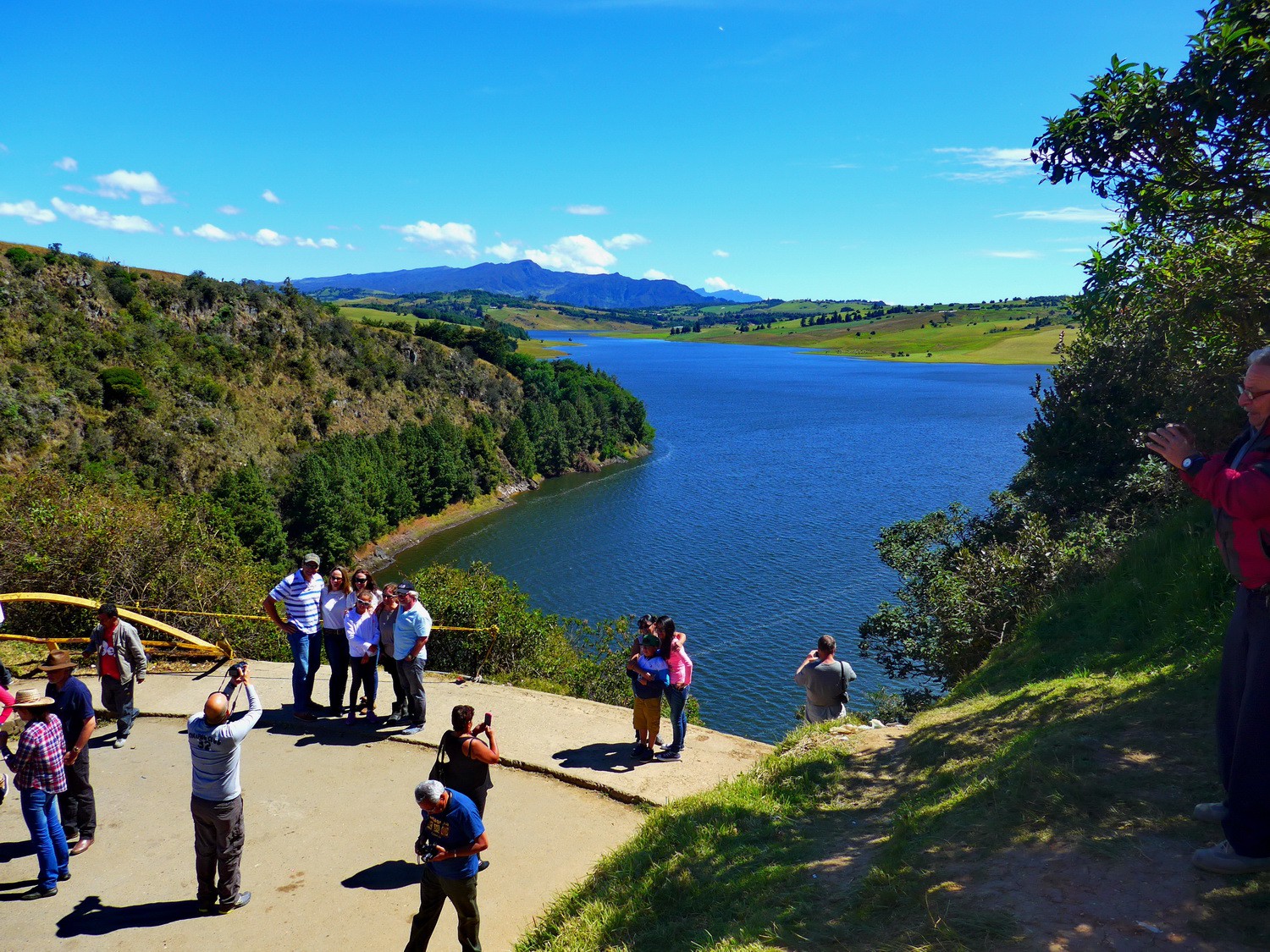
Artificial lake Embalse del Sisga between Bogota and Tunja
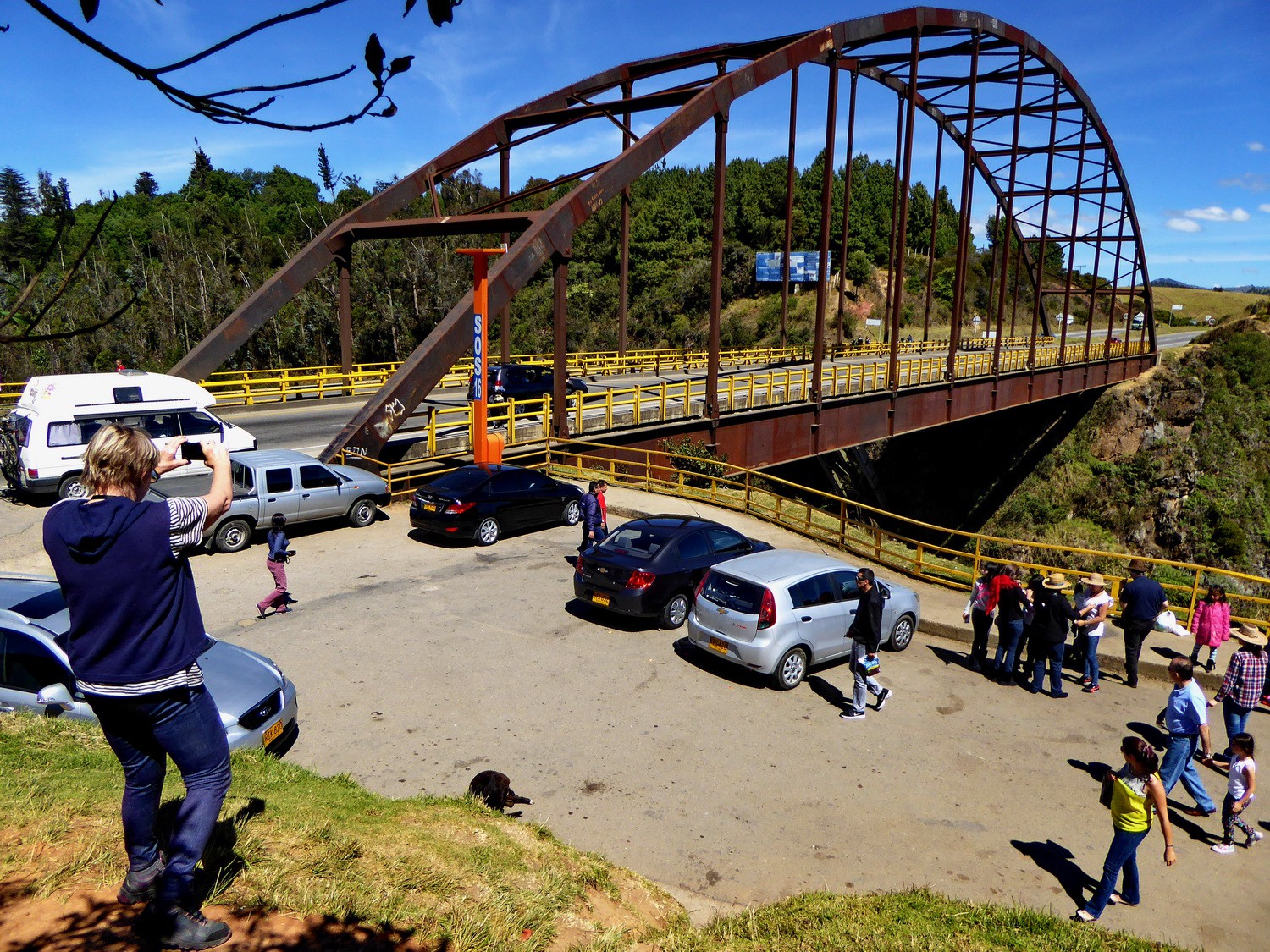
The bridge over Embalse del Sisga
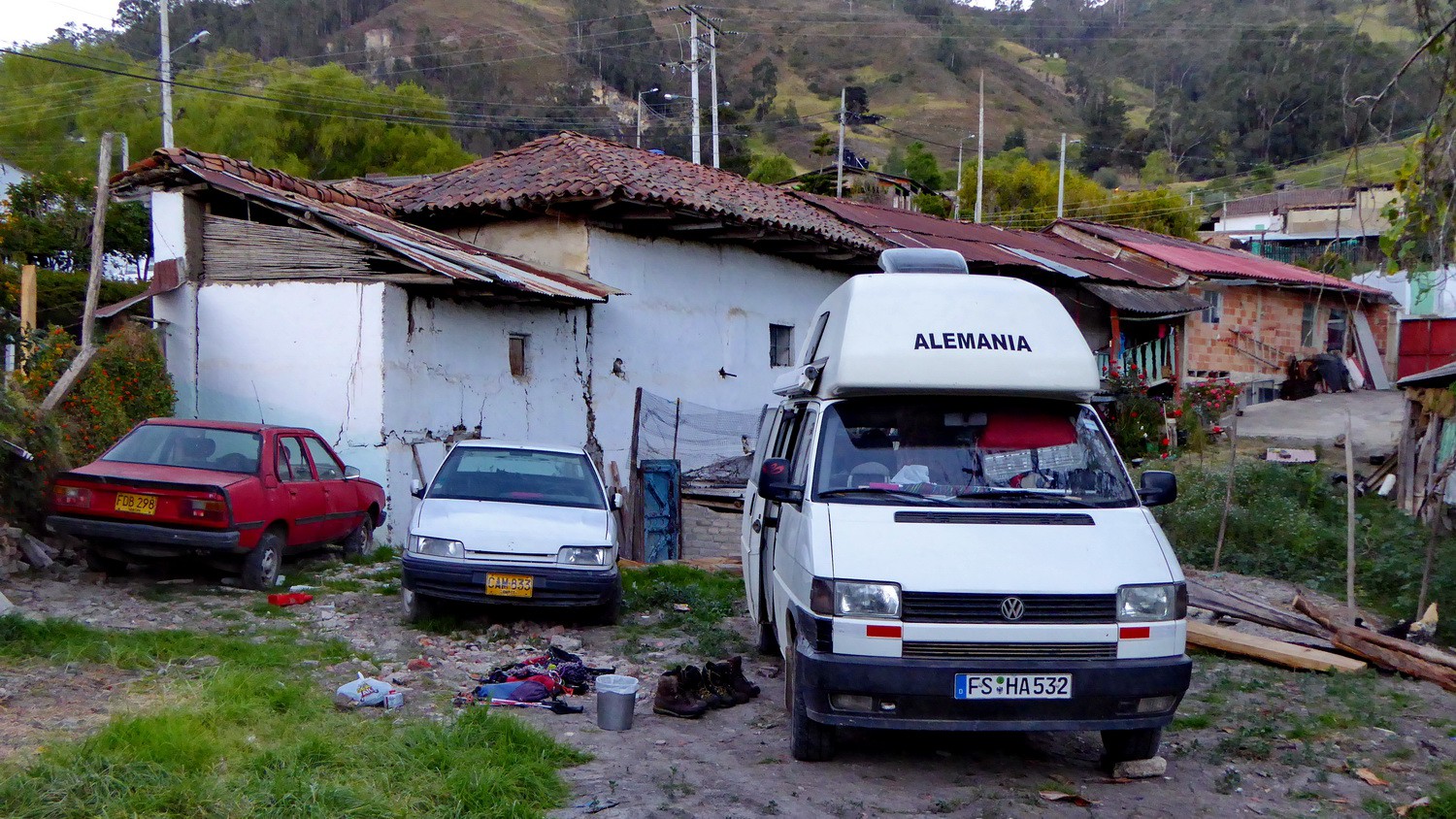
Our campsite and parking lot in El Cocuy (near the Terpel gas station)
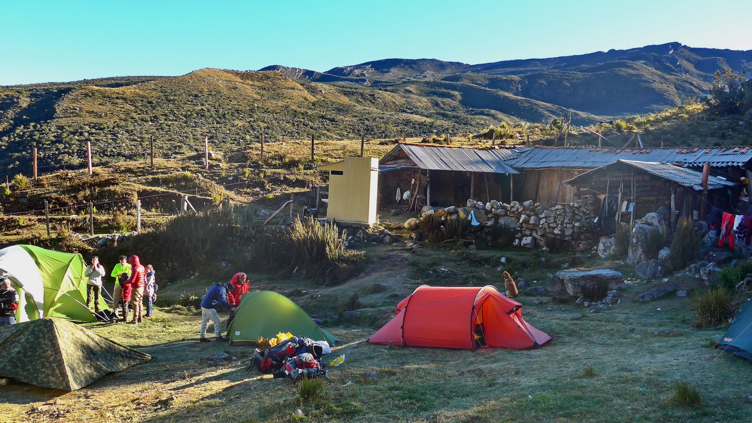
Our green and red tents on the Finca Alejandro Herrera
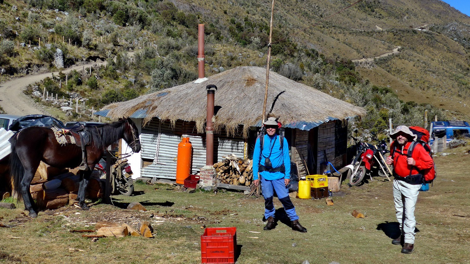
Alfred and Tommy ready for departure of the Finca Alejandro Herrera
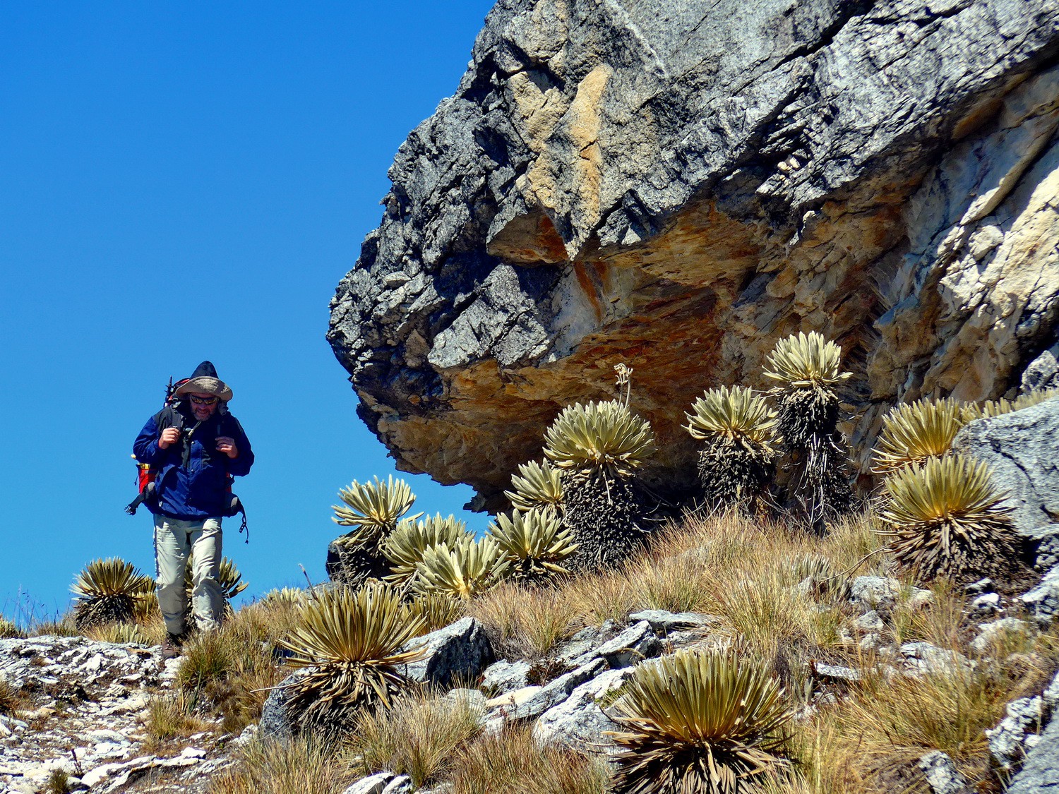
On the direct eastern path to the col Paso del Conejo
Two boys from Germany
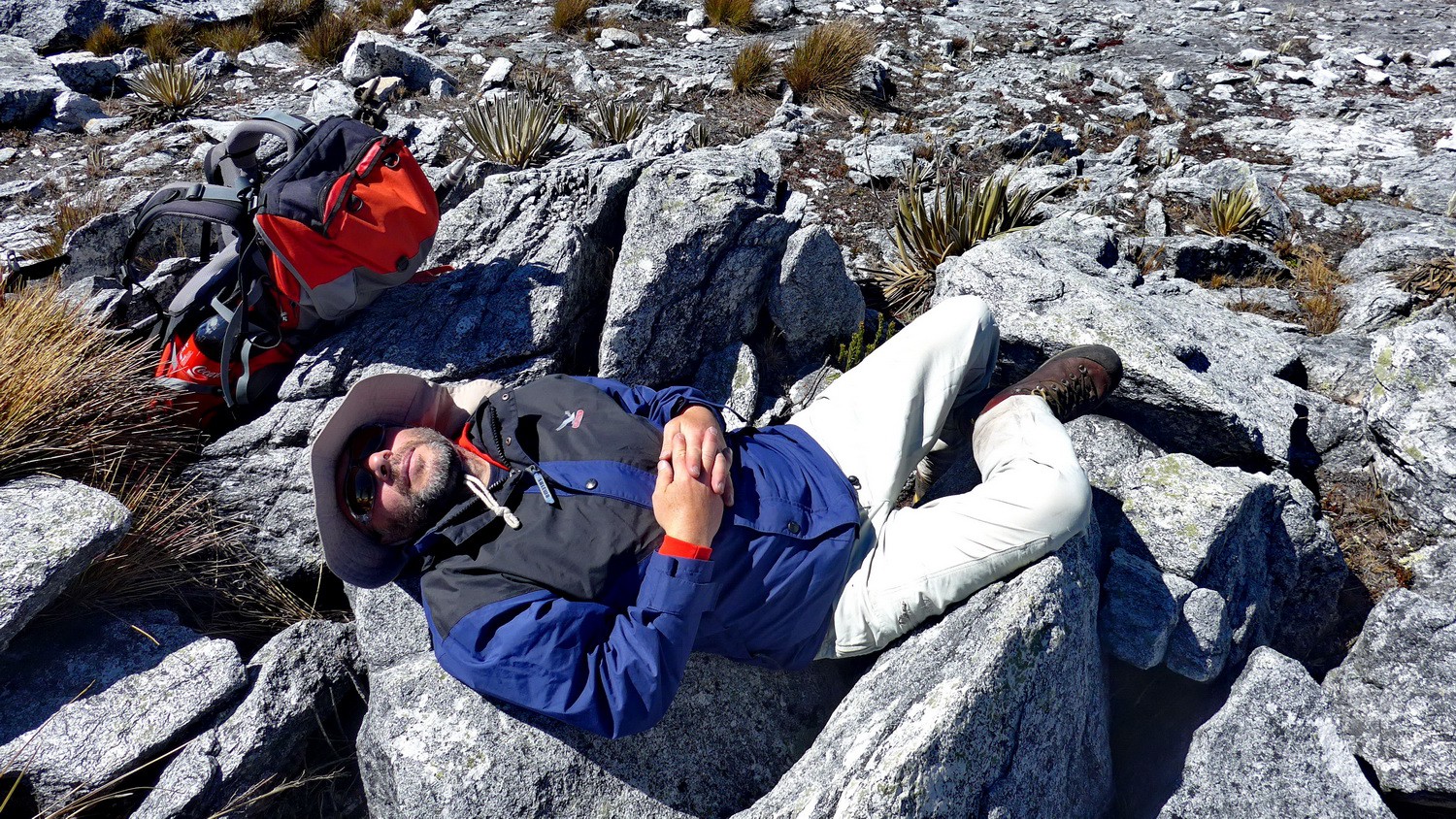
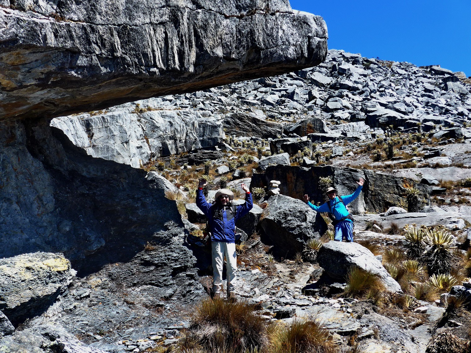
Resting on the highest point between Finca Alejandro Herrera and Paso del Conejo
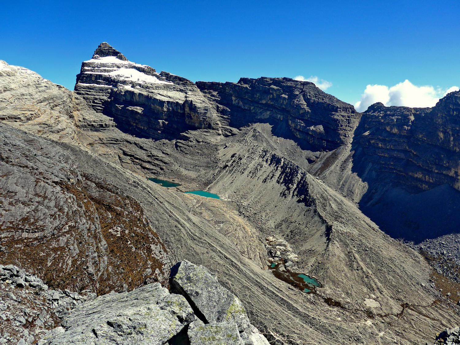
View to the 4954 meters high peak Campanilla Blanco
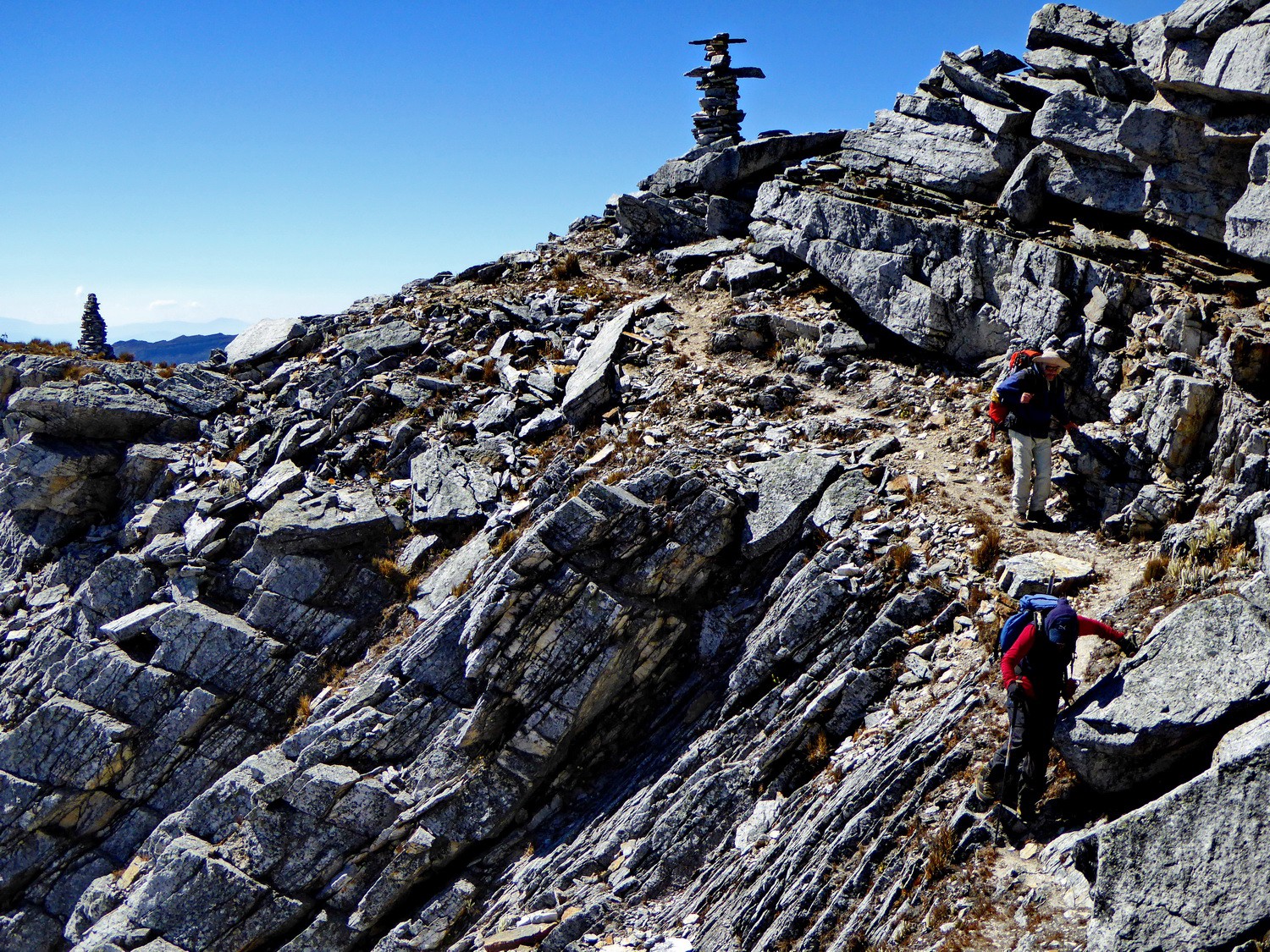
The last section of the path down to Paso del Conejo

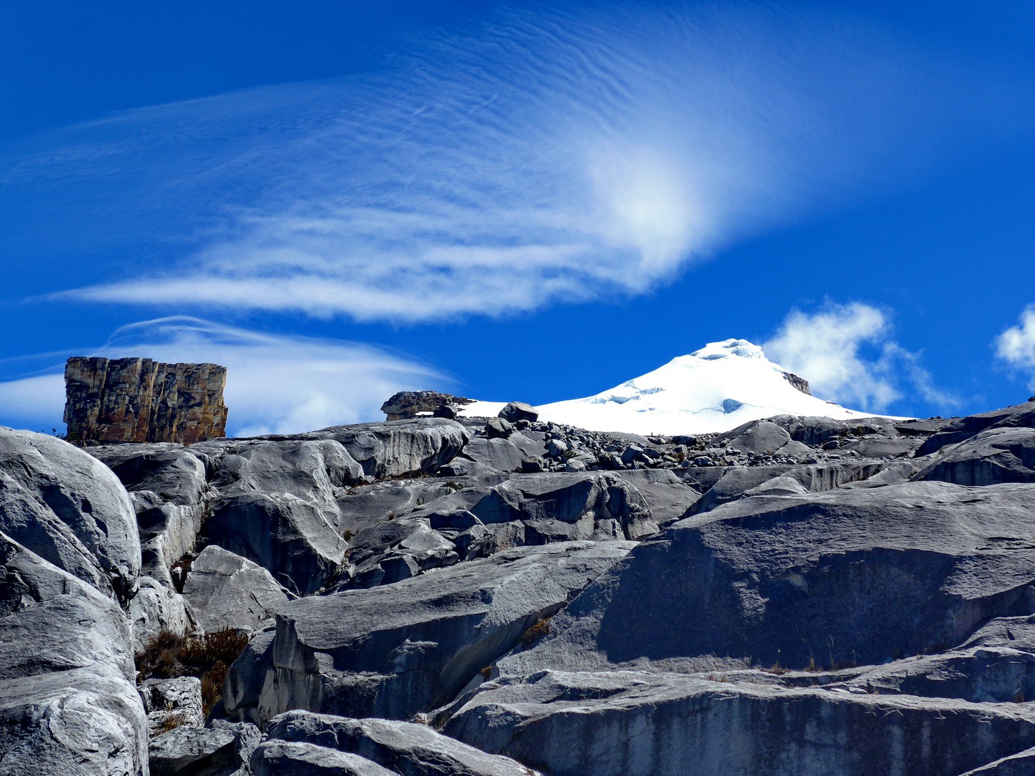
Our target 5130 meters high Pan de Azucar seen from Paso del Conejo
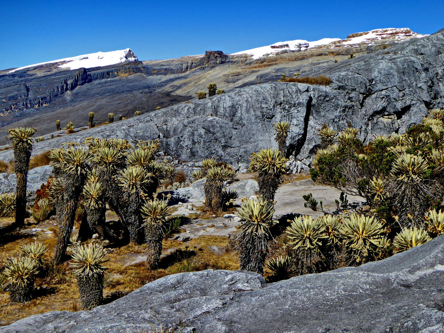
The first campground few meters east of Paso del Conejo - Rangers asked us to continue to the second to protect the Fraillejones
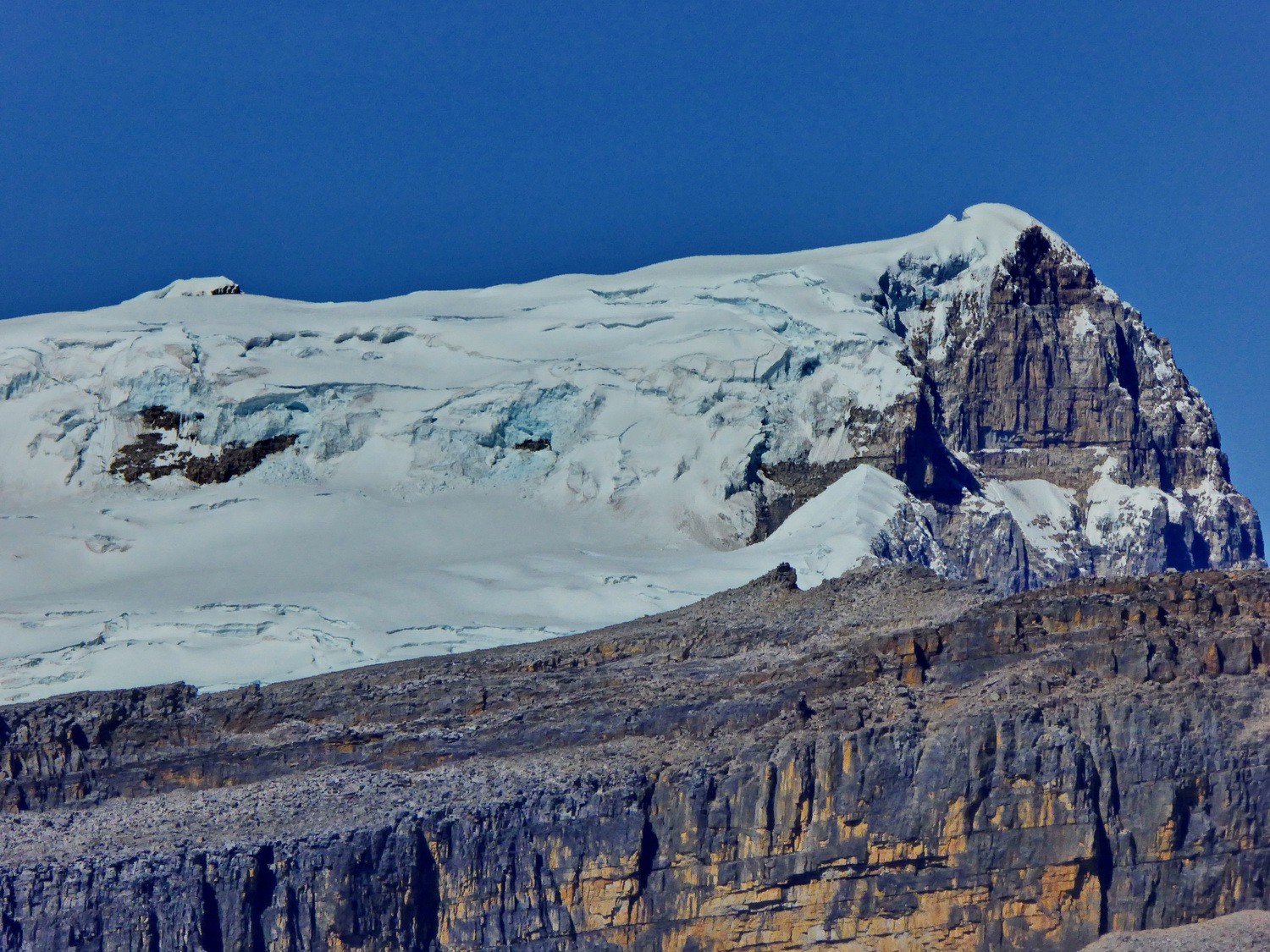
Ritacuba Blanca which is with 5330 meters sea-level the highest point of the Sierra Nevada del Cocuy
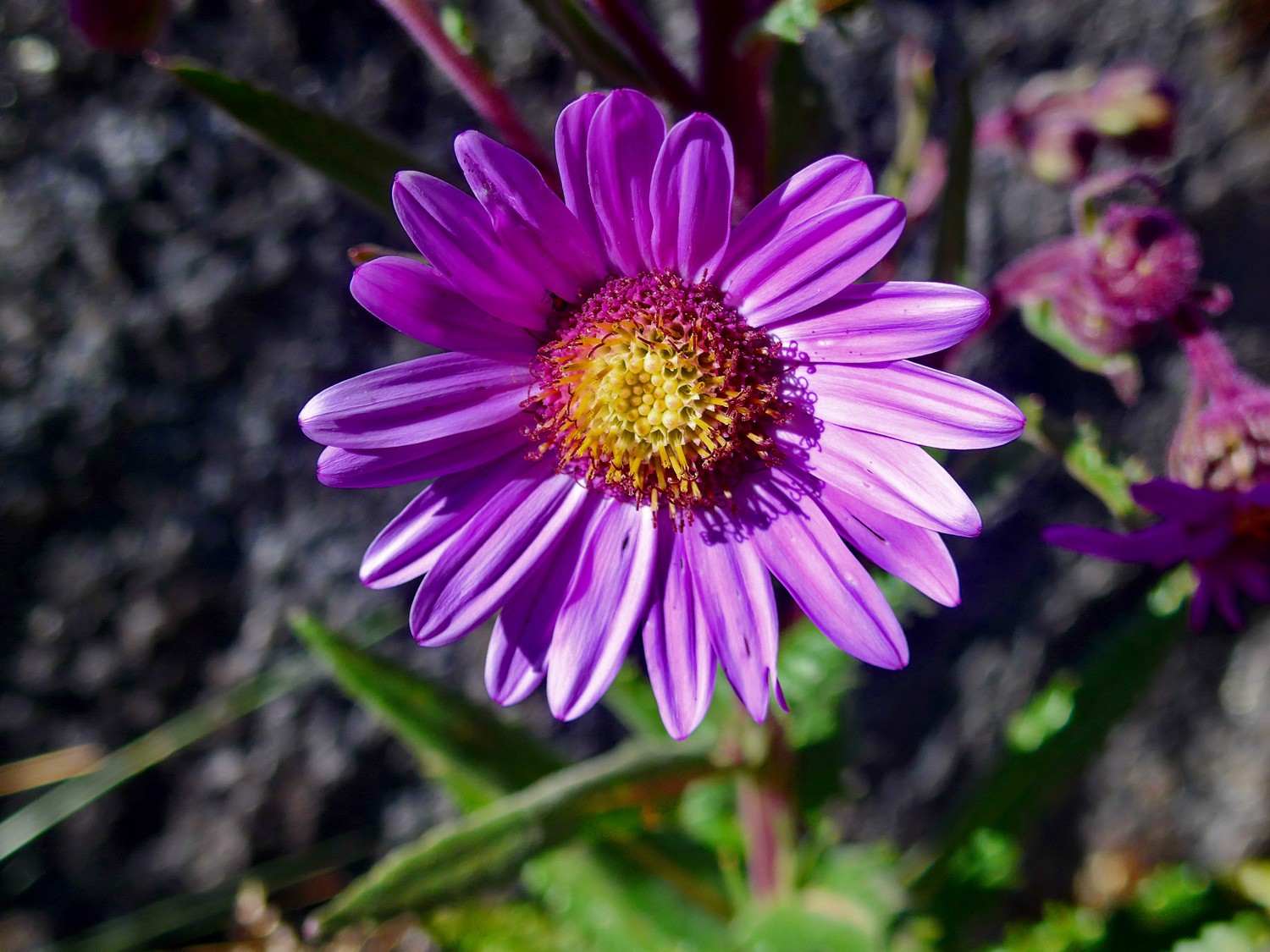
Flower on the way down the main route (via the southern valley from the col) to Finca Alejandro Herrera
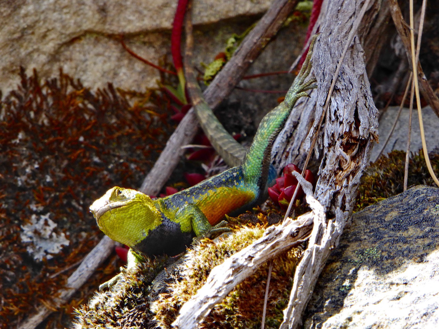
Coloful Lizard
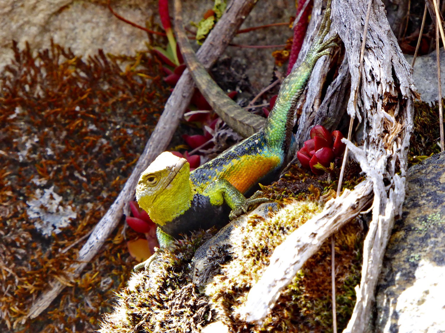
What a beautiful animal!
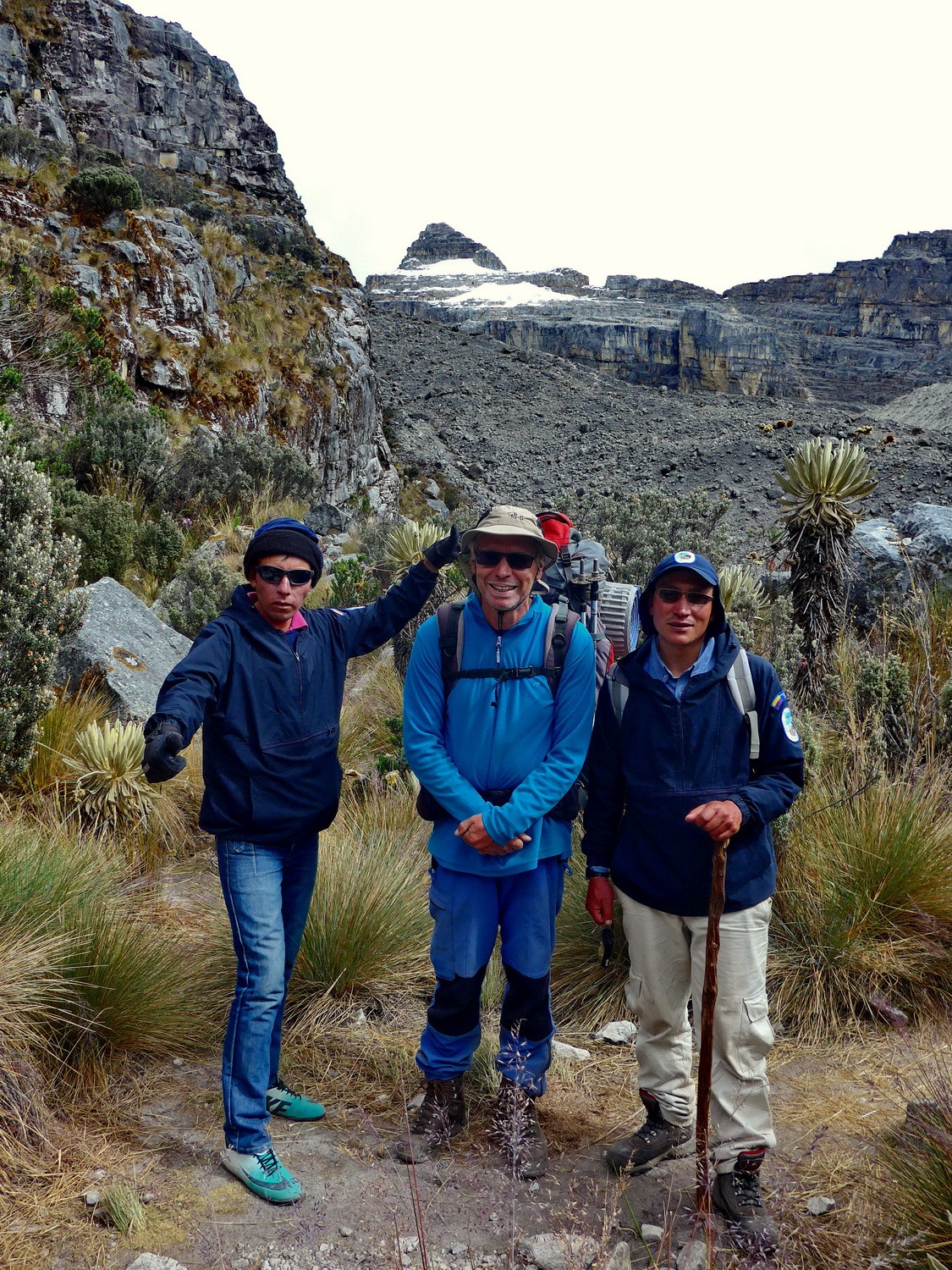
Two Colombians on the way back to Finca Alejandro Herrera
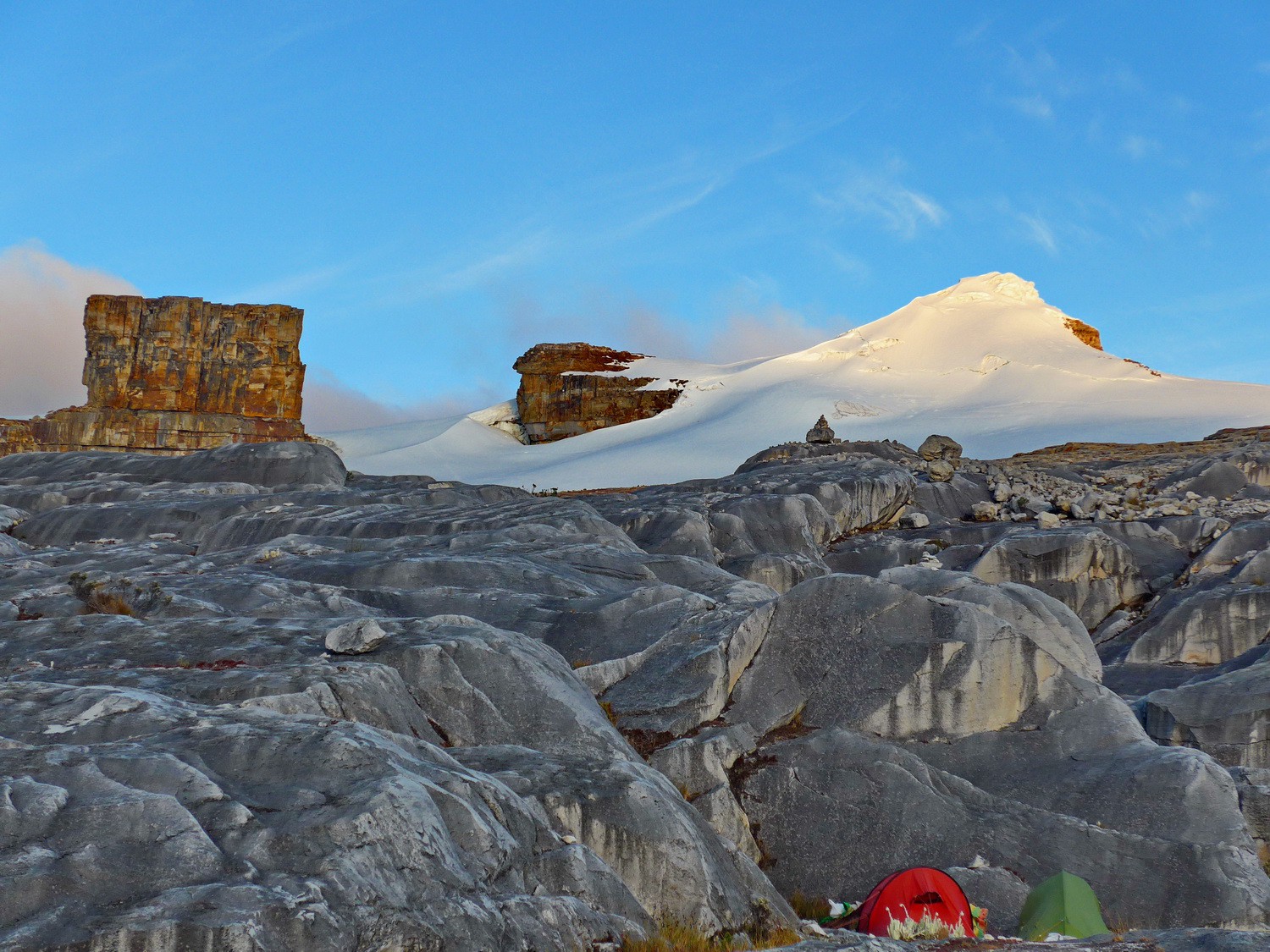
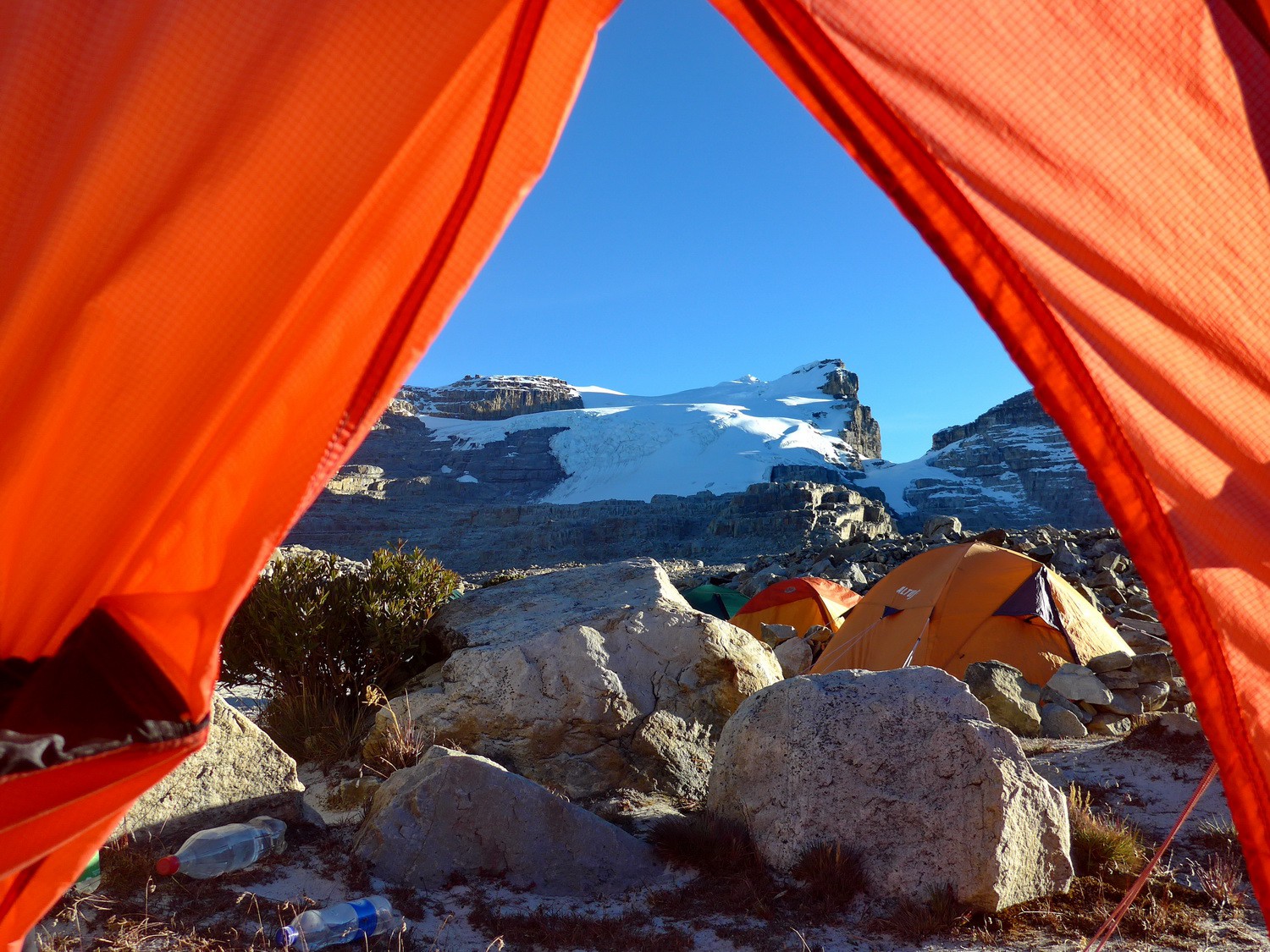
Our two tents with rectangular Púlpito del Diablo and white Pan de Azucar at sunset
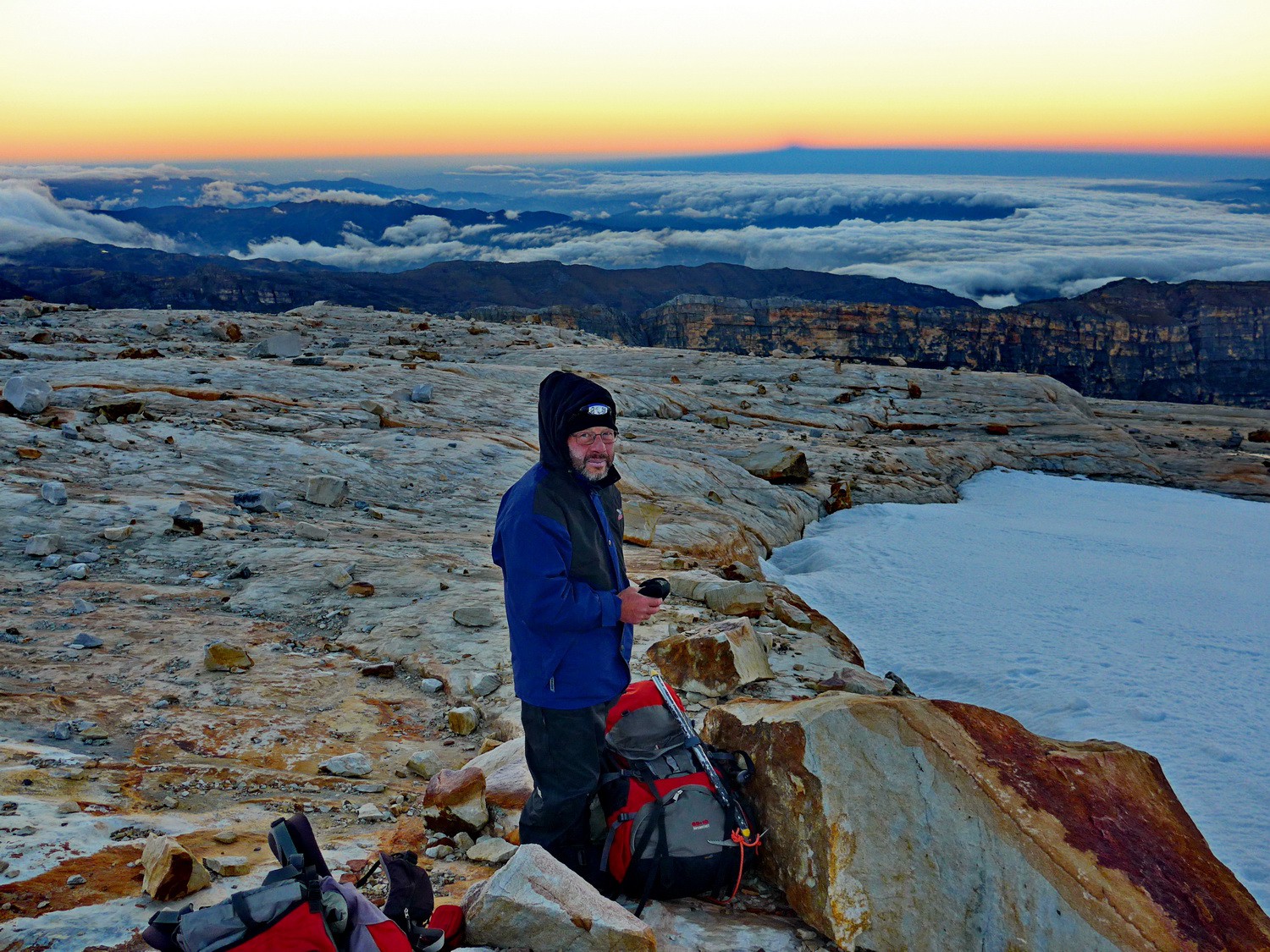
Sunrise on the beginning of the glacier
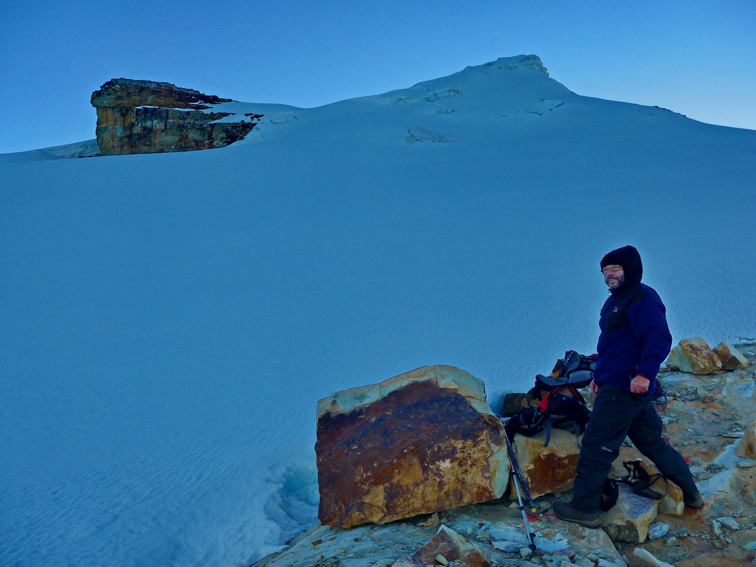
Preparing the access to the gacier with our destination
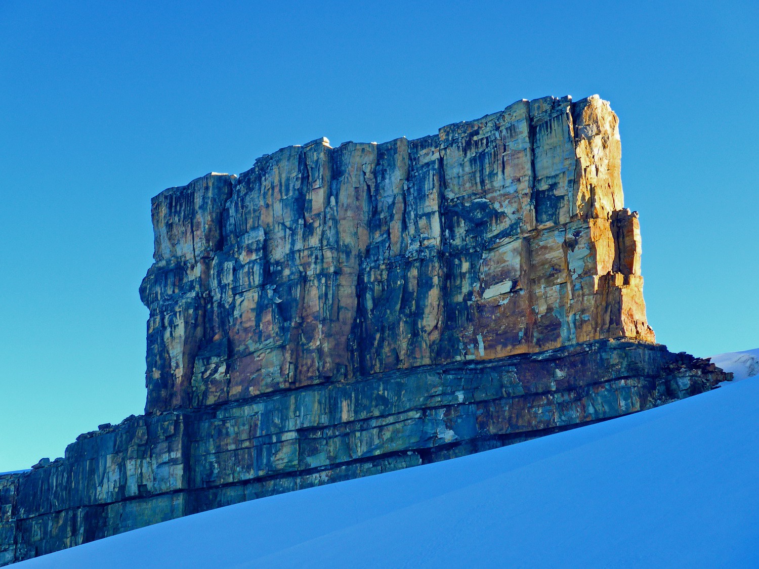
Southwest wall of 5020 meters high Púlpito del Diablo - the pulpit of the devil
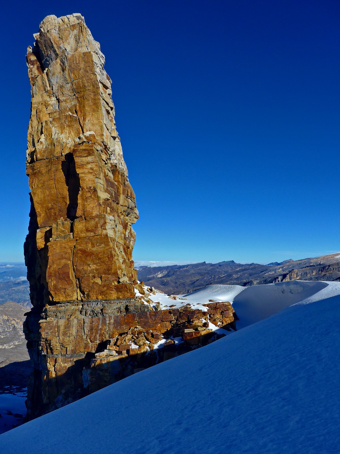
Southeast face of Púlpito del Diablo
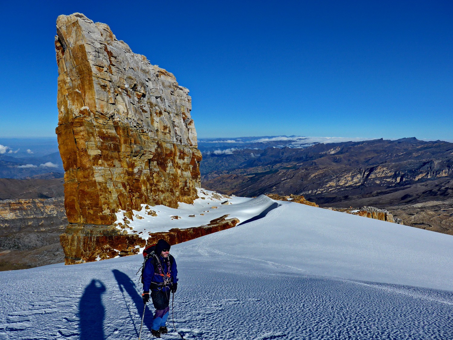
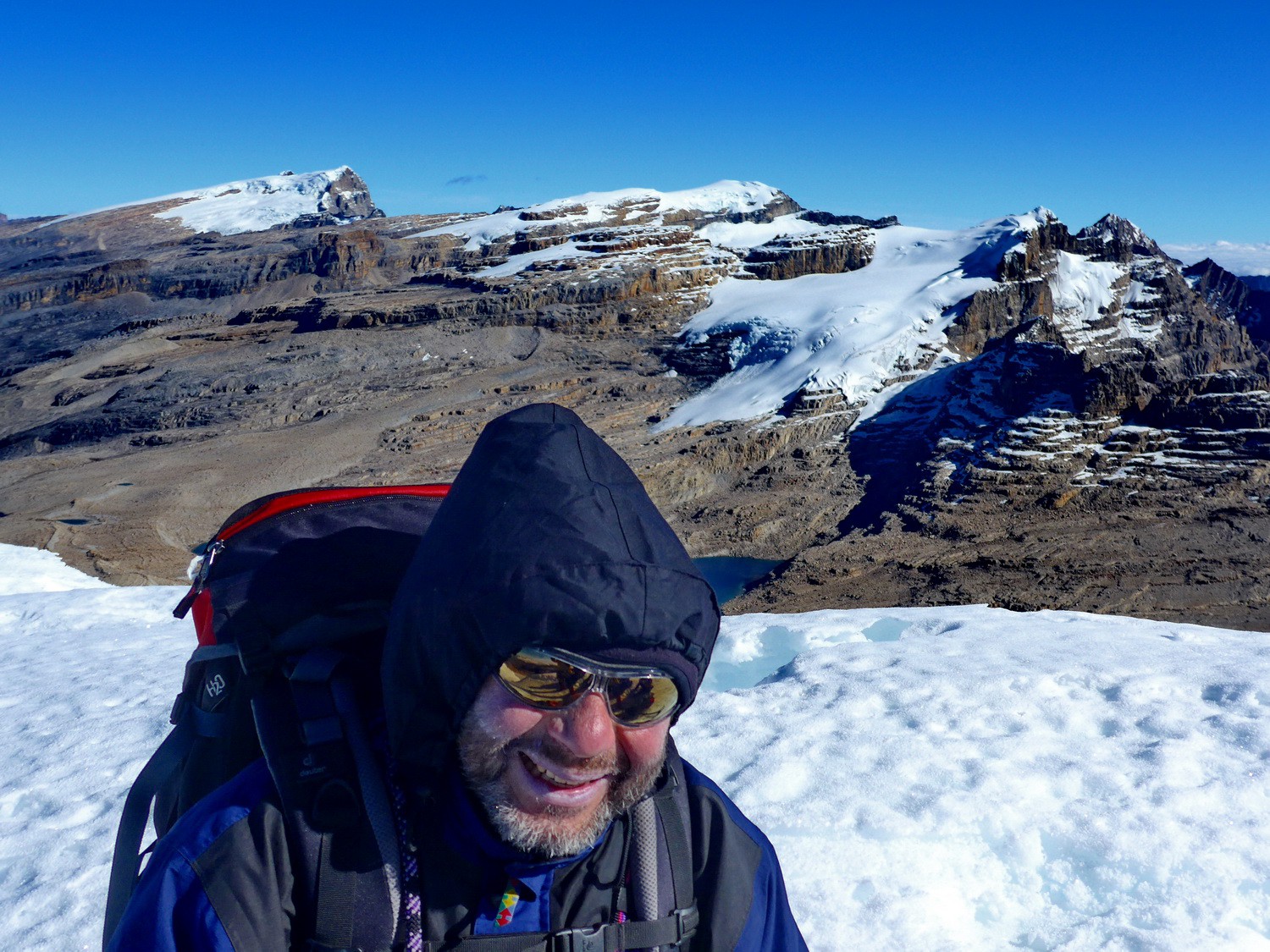
Tommy with Púlpito del Diablo
Tommy with Ritacuba Blanco and Laguna Grande de la Sierra
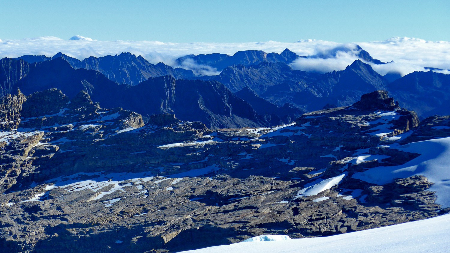
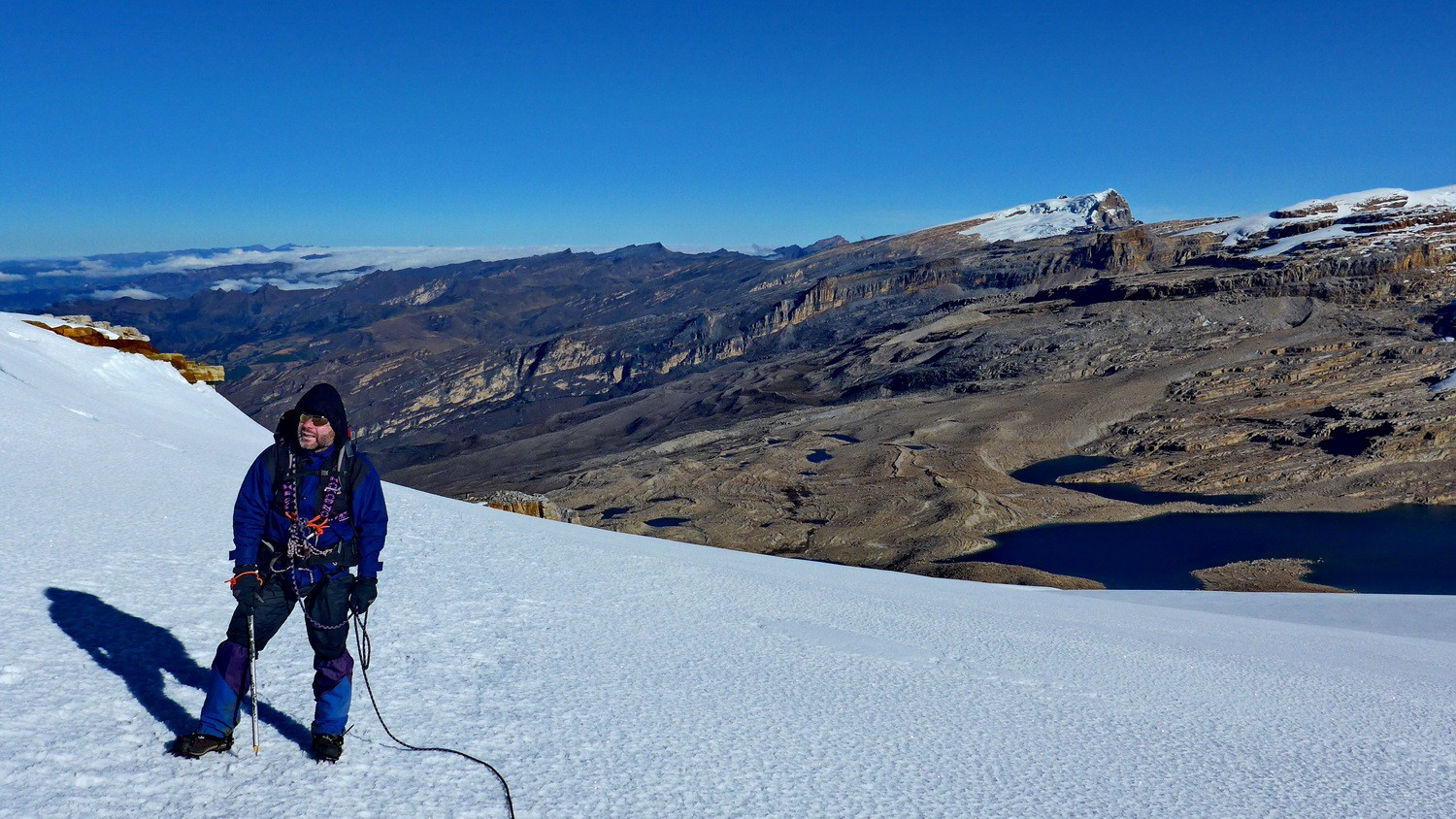
Eastern view from the glacier
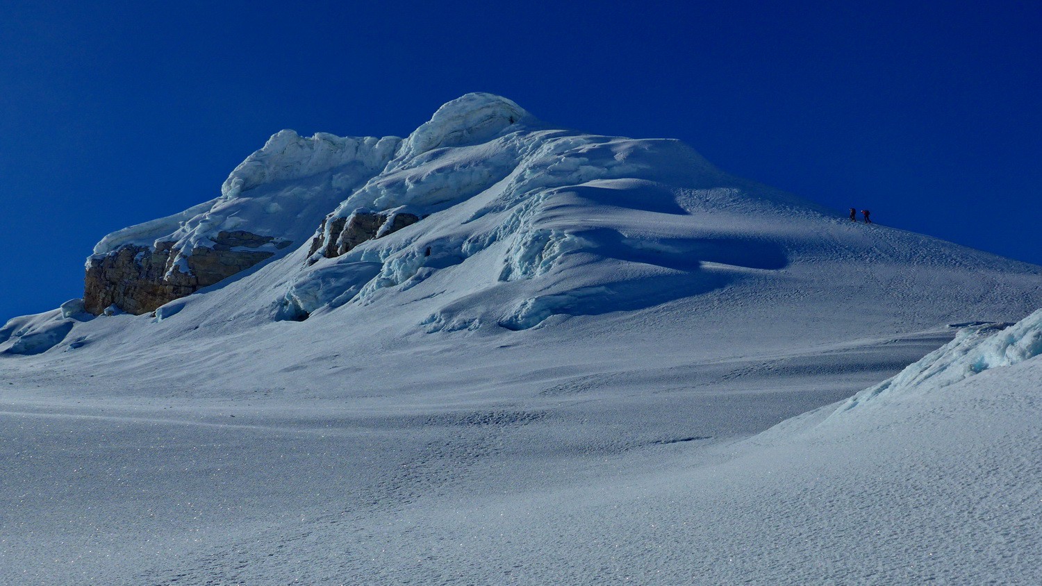
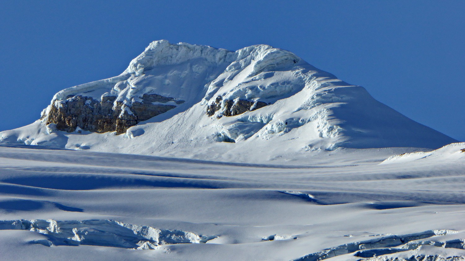
Summit of Pan de Azucar (top left) - on the right ridge is the steep ascent
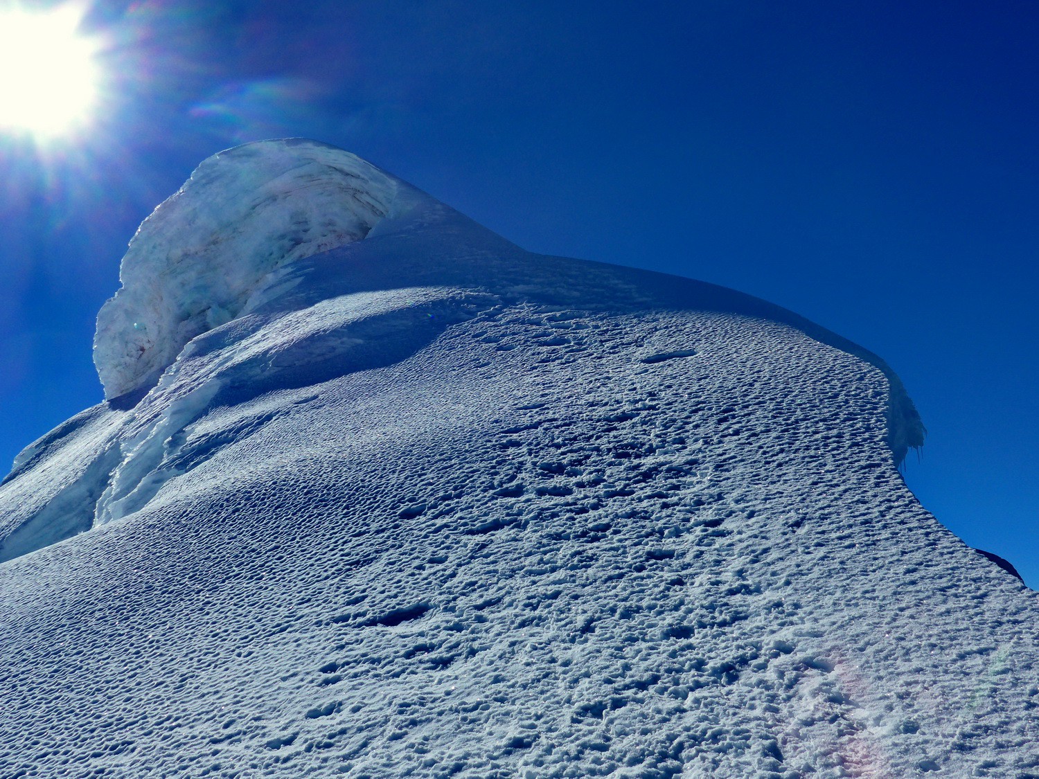
One of the steepest part
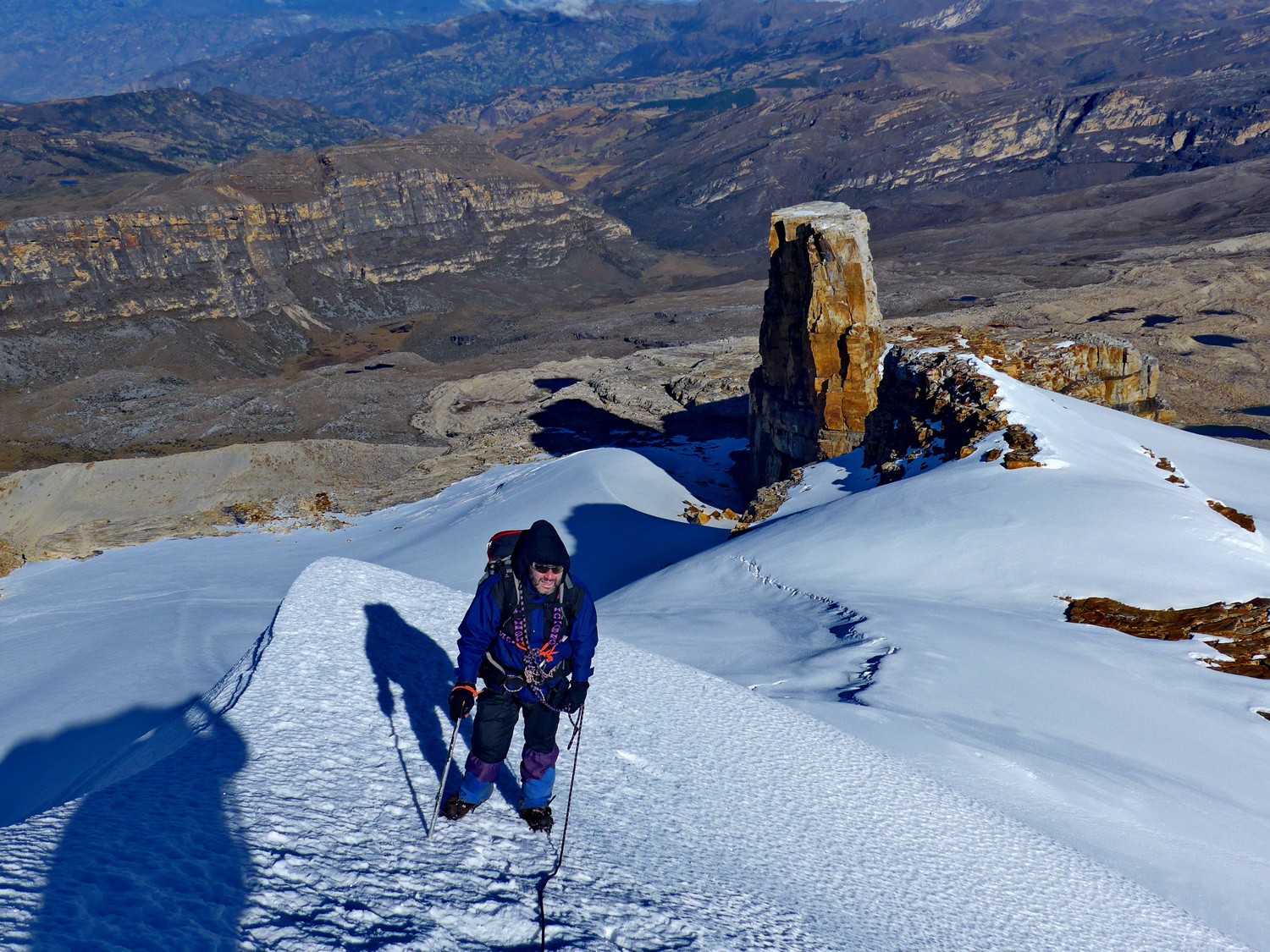
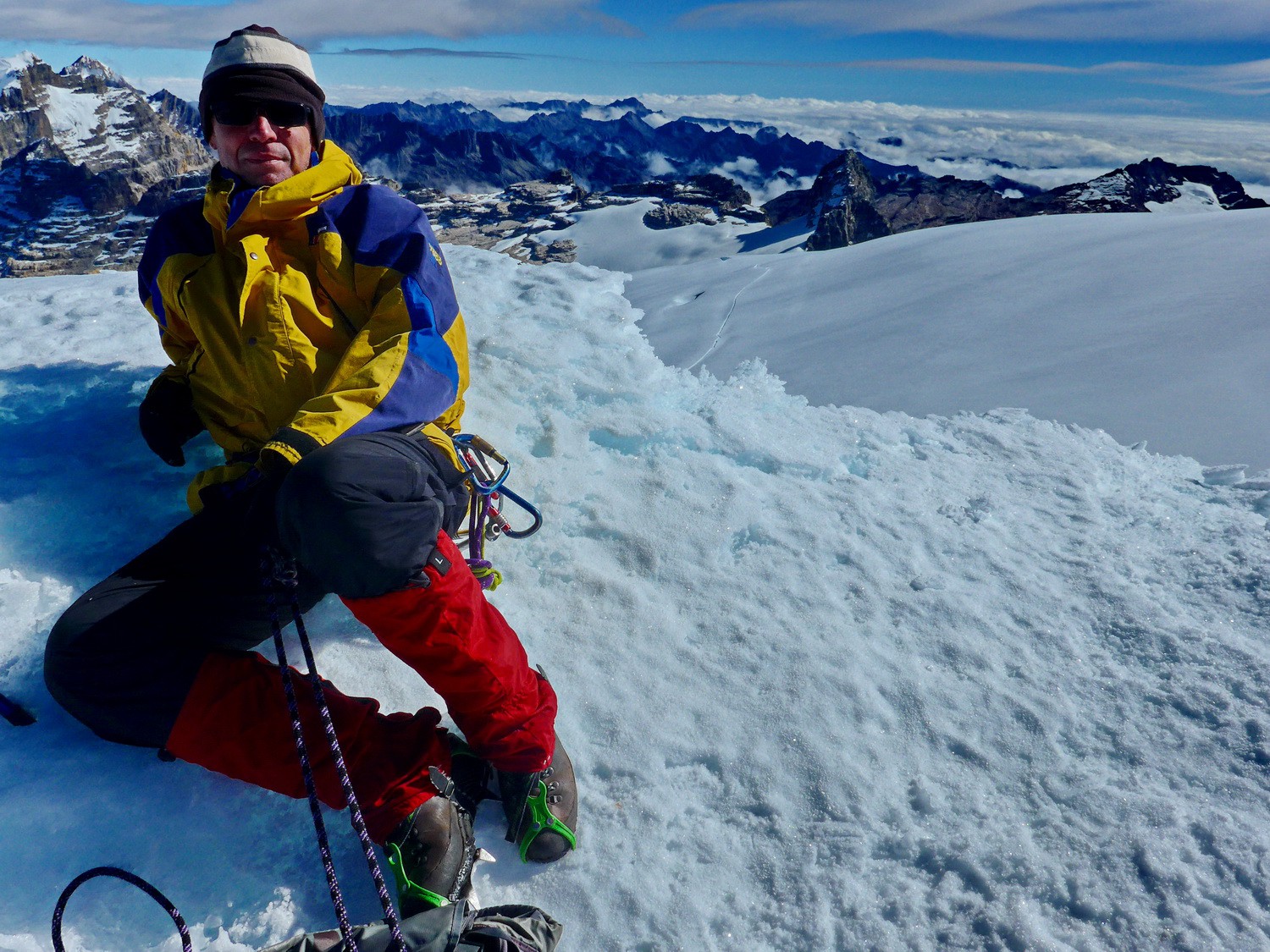
Close to the top with Púlpito del Diablo
Tommy on the summit of Pan de Azucar - western view
Northern view with Ritacuba Blanco and Cóncavo
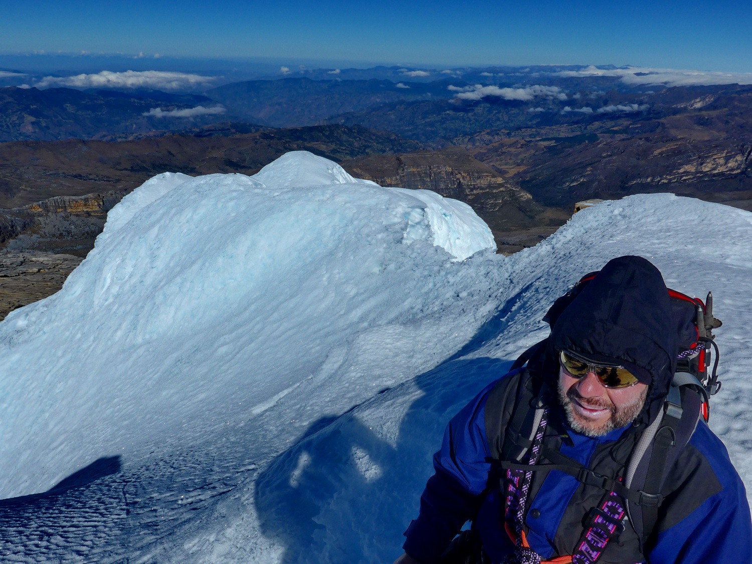
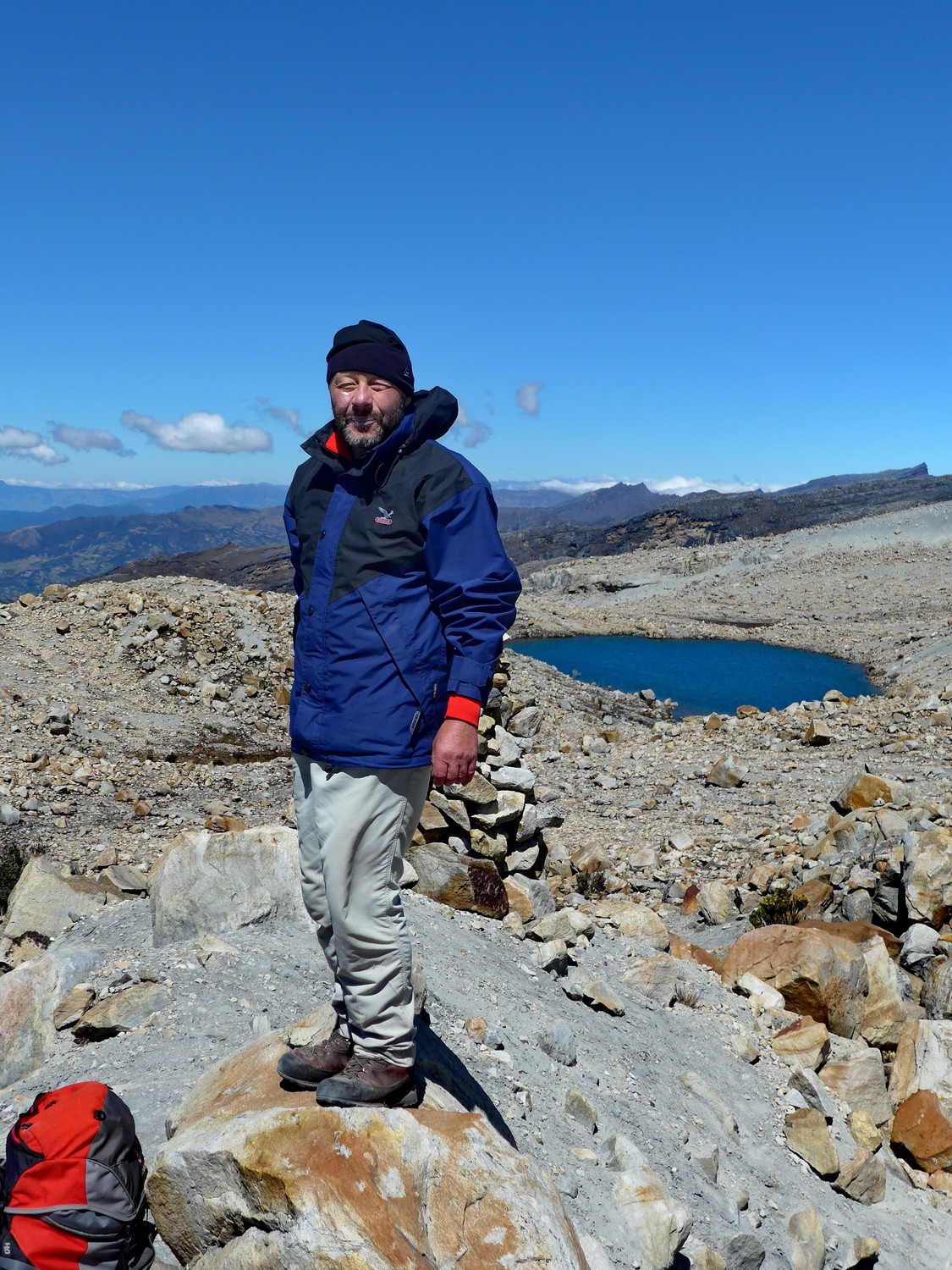
Alfred on the top of Pan de Azucar - eastern view
Púlpito del Diablo and western side of Pan de Azucar seen from the descent to our tents
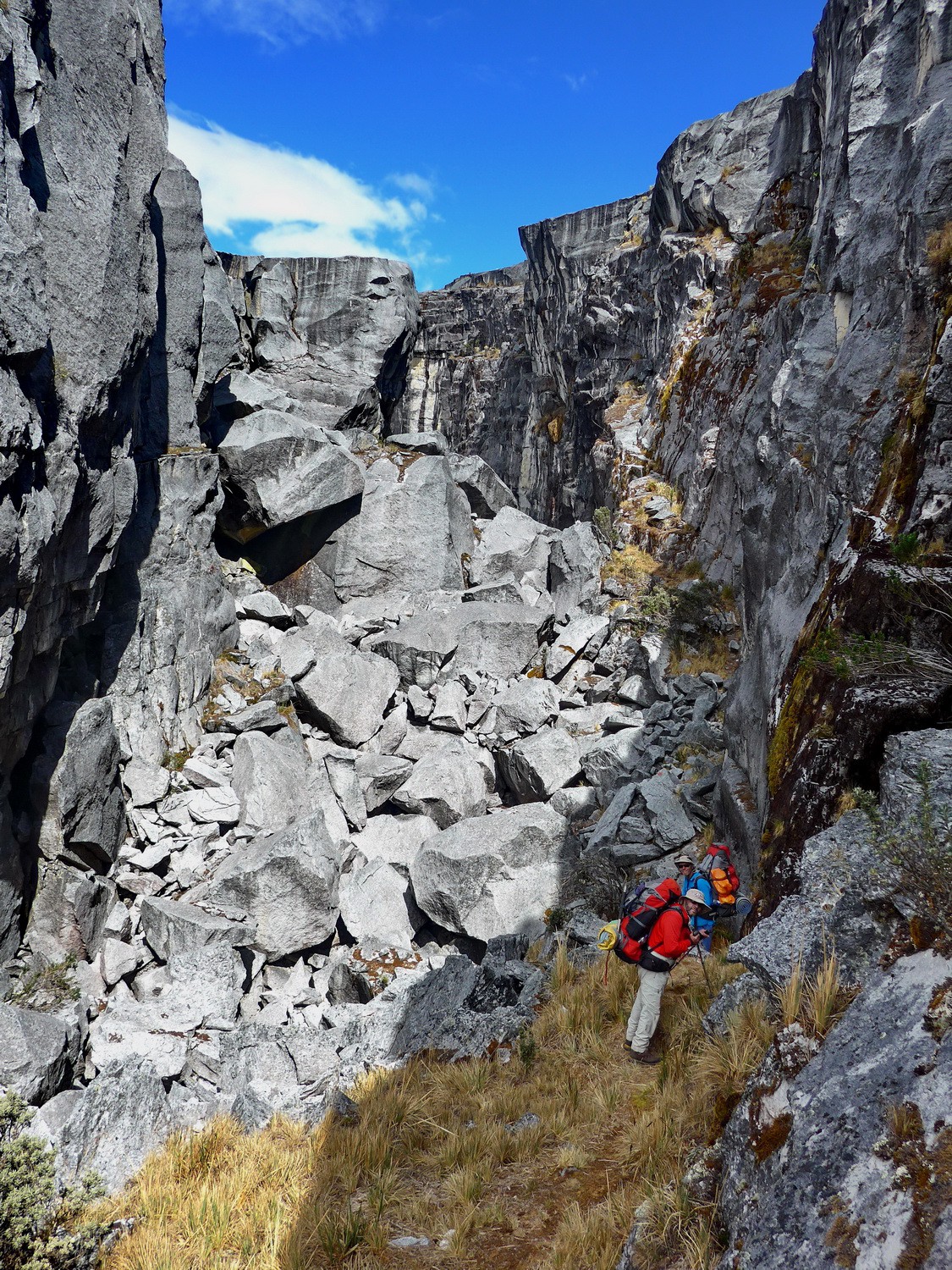
The first section of the way from Paso del Conejo to Laguna Grande de la Sierra
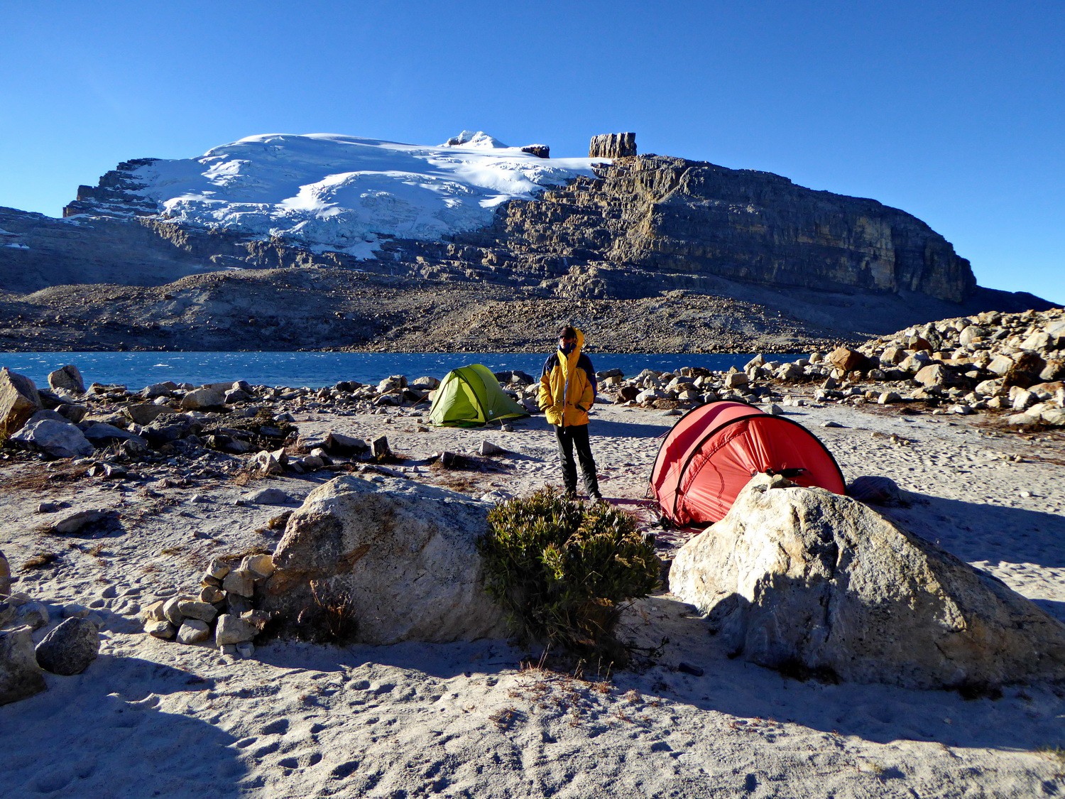
5200 meters high Cóncavo seen from our tent on Laguna Grande de la Sierra
Alfred with our tents and the northern side of Pan de Azucar and Púlpito del Diablo
North face of Pan de Azucar
Tommy on the viewpoint Mirador Laguna Grande
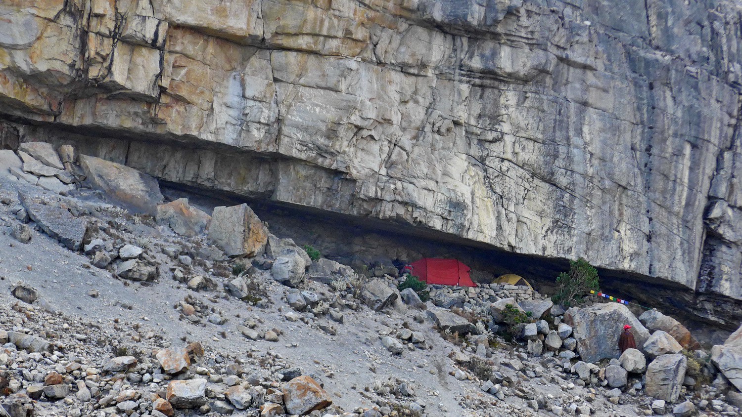
Our tent in the cave Cueva del Hombre
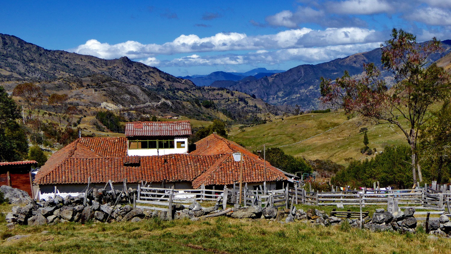
Hacienda la Esperanza
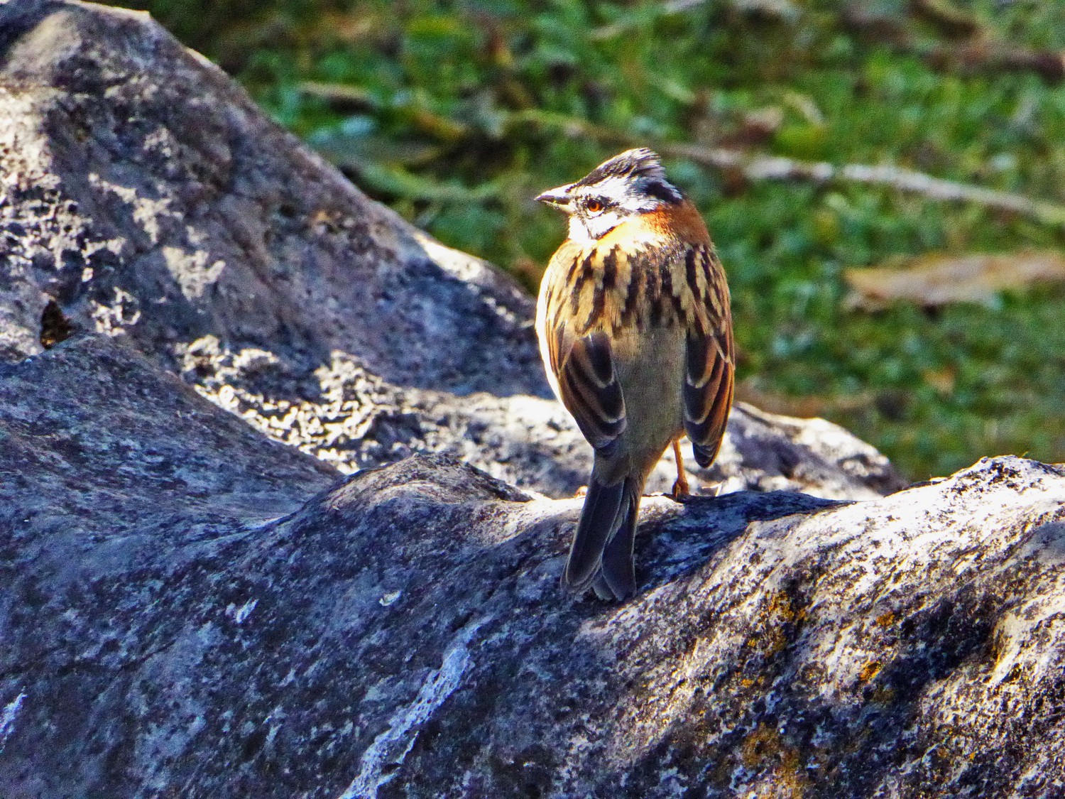
Little bird on the Hacienda
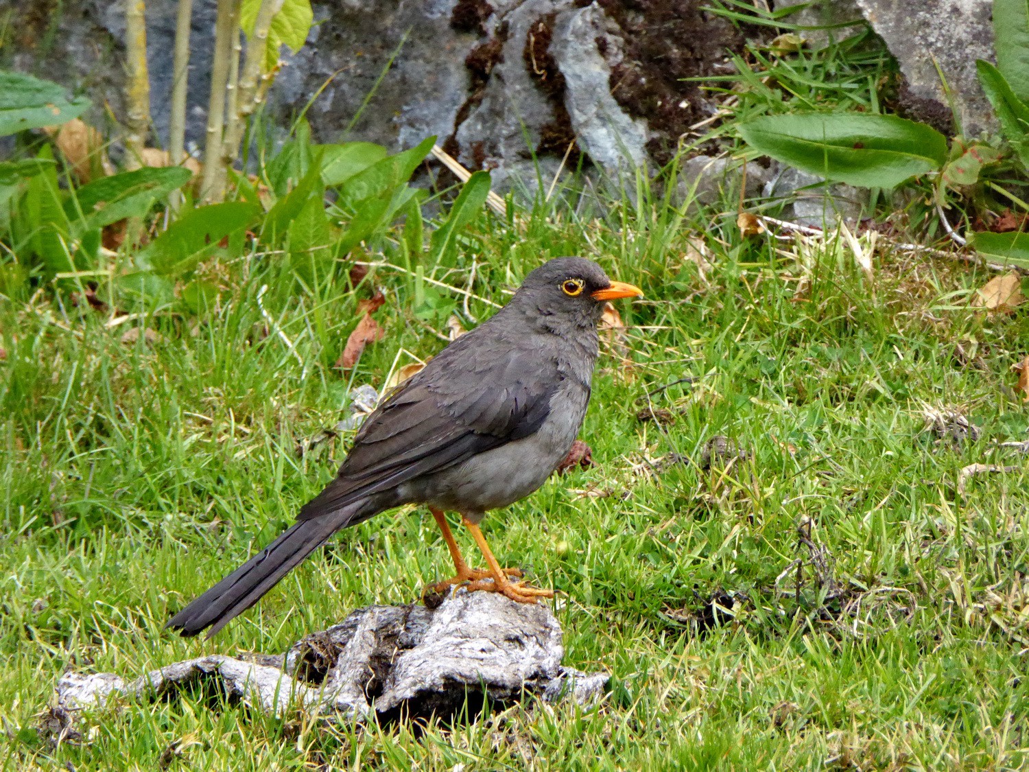
Another bird
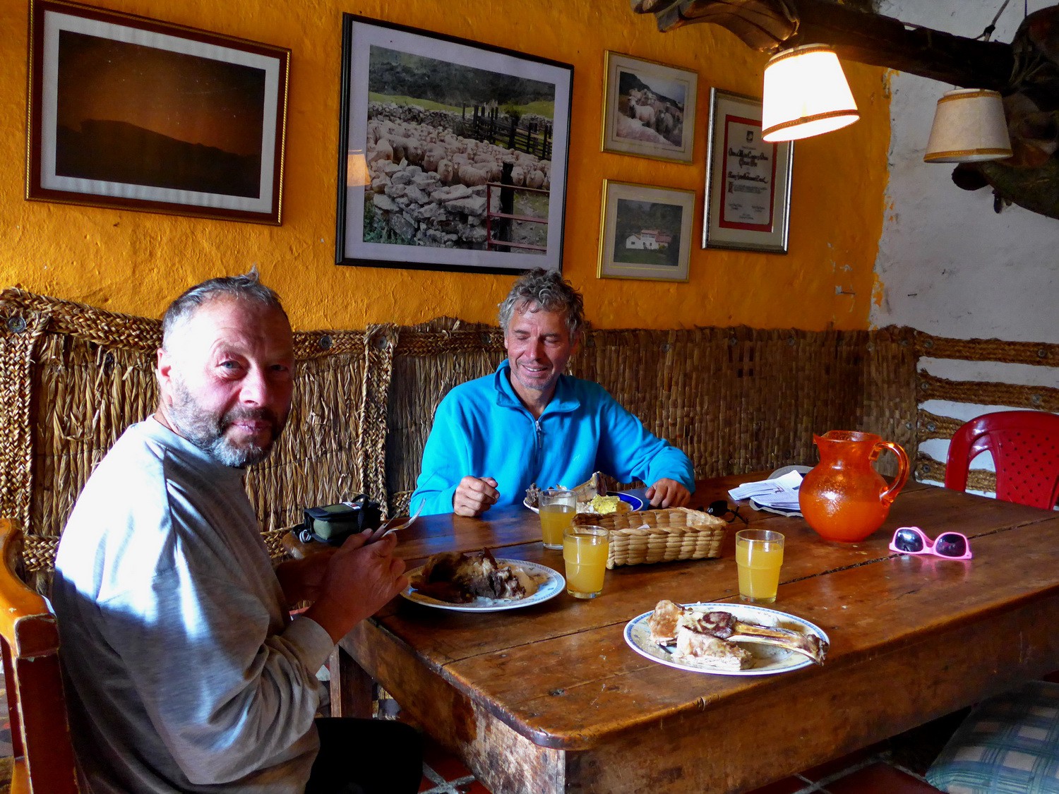
Enjoying the delicious lamb of the Hacienda la Esperanza
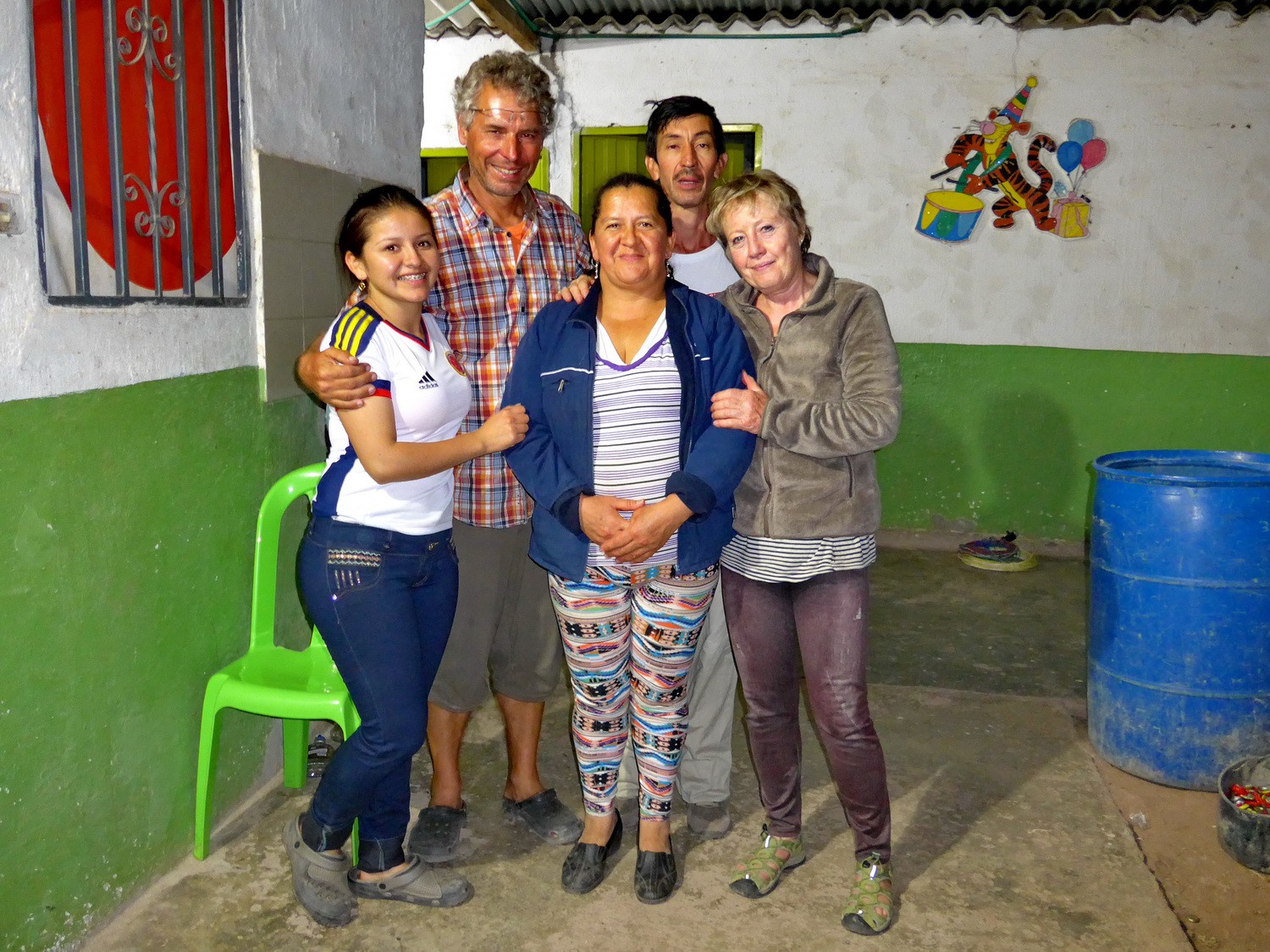
Tathiana with Alfred, her mother Esperanza, her father Tomas and Marion
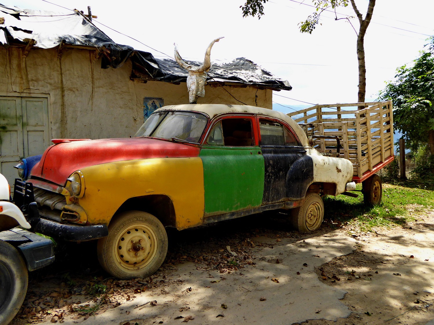
Nice car on the street between Malaga and Bucamaranga
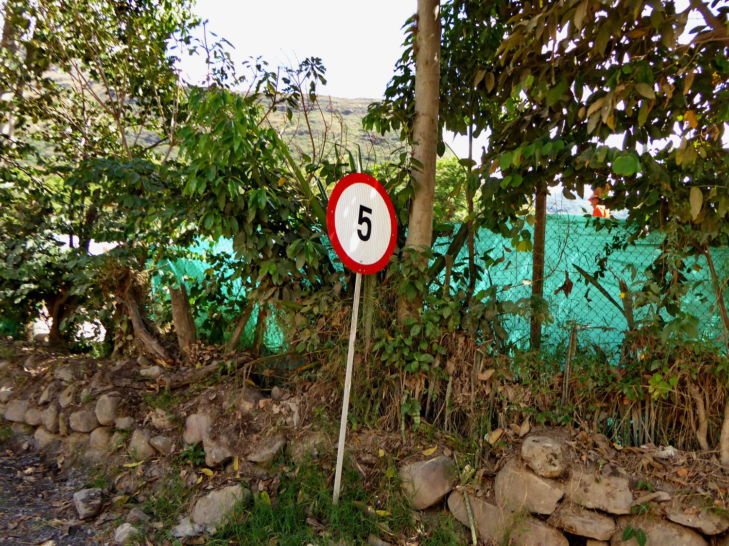
Maximum allowed speed!
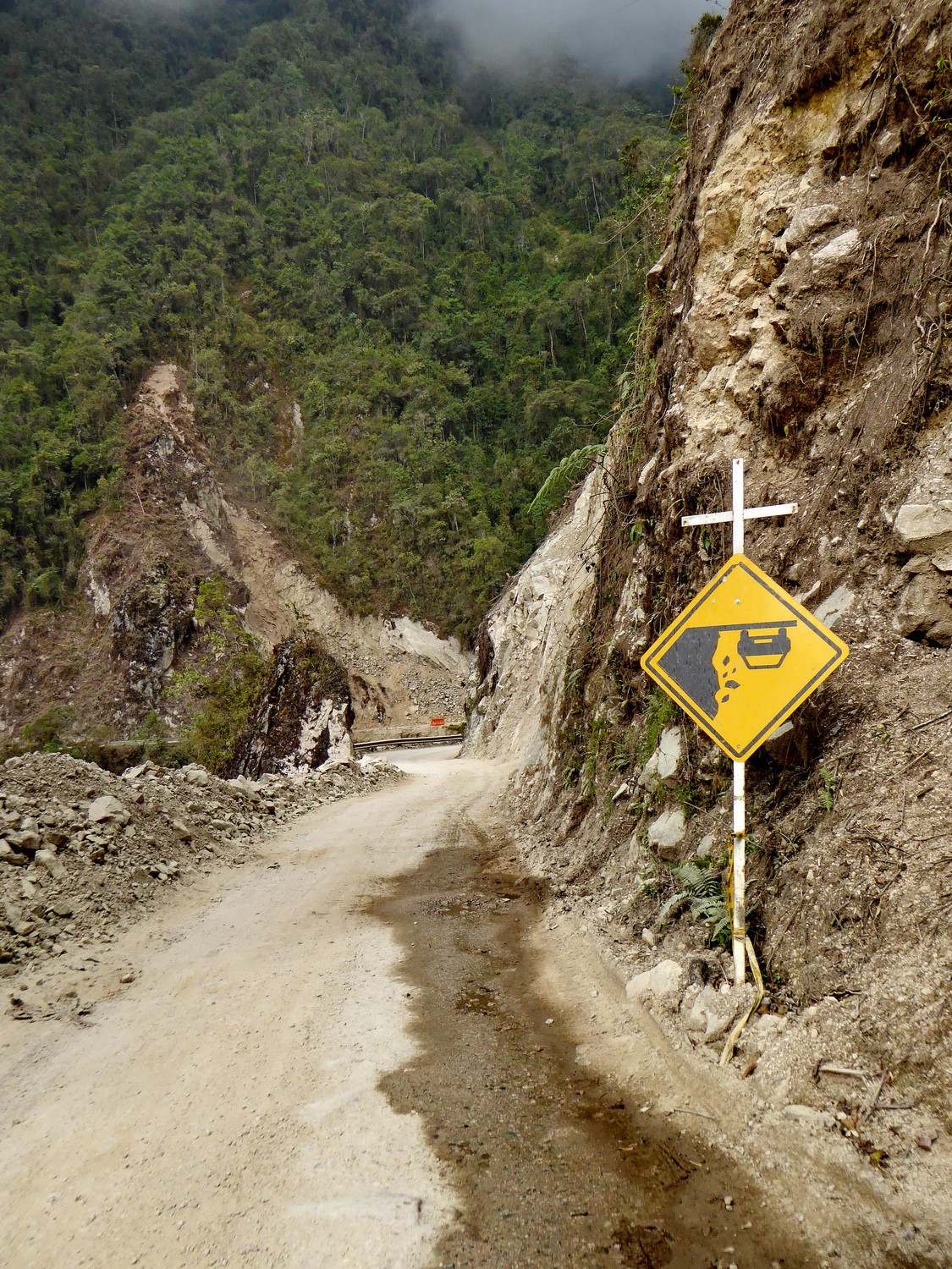
Another strange sign on this road
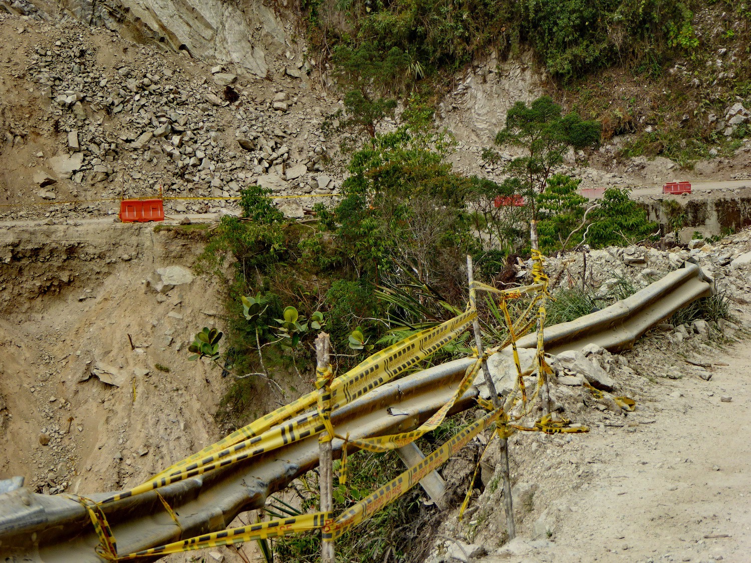
Indeed deep holes into the steep gorge
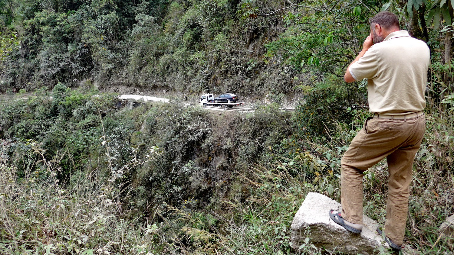
Tow service on this very bad road!
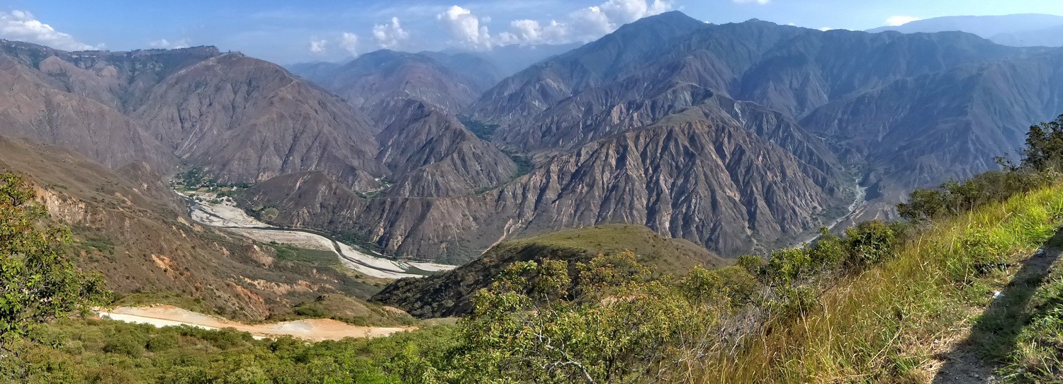
Cañon de Chicamocha, approximately 30 kilometers south of Bucamaranga
Powered by Phoca Gallery