
- You are here:
- Home

- Pictures
- South America
- Bolivia
- Cordillera Real 2011 and Yungas
Pictures - Cordillera Real 2011 and Yungas
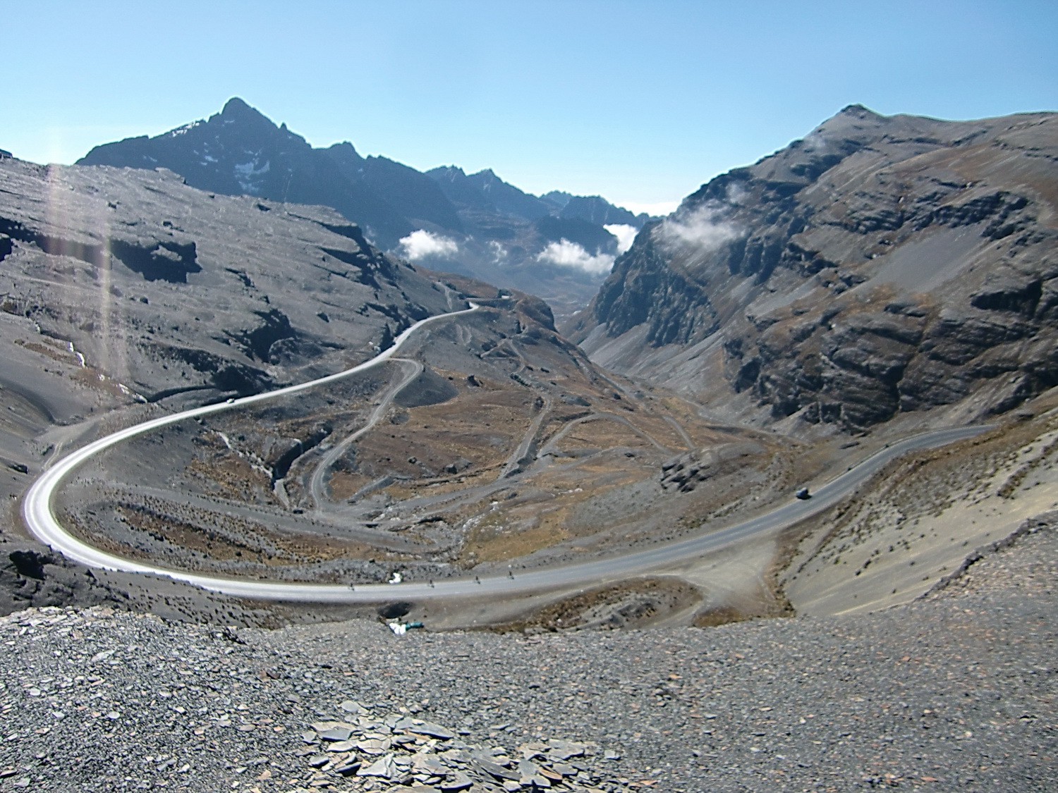
East side of La Cumbre, the 4725 meter high pass between La Paz and Coroico
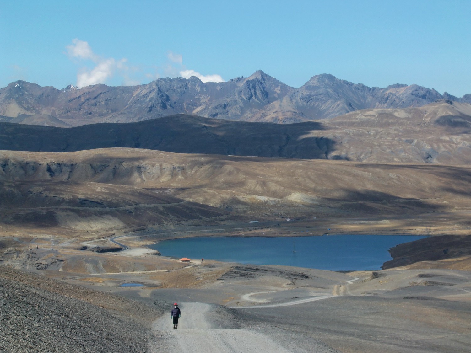
The lake at La Cumbre
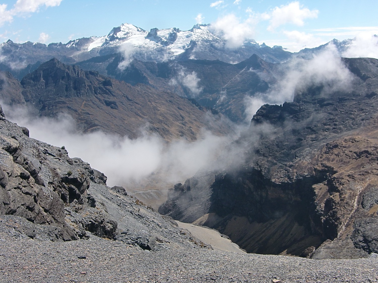
View from Abra Chukara
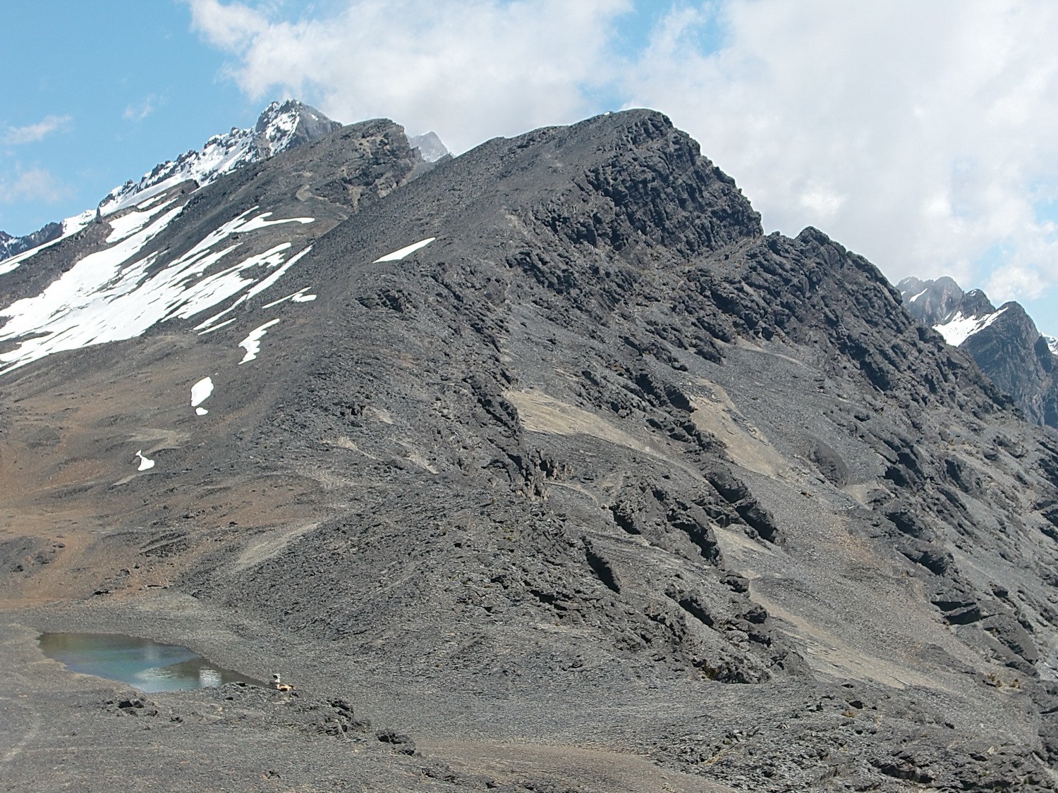
The ridge to the Cerro Saturno (5006 meters), which is the black peak in the middle
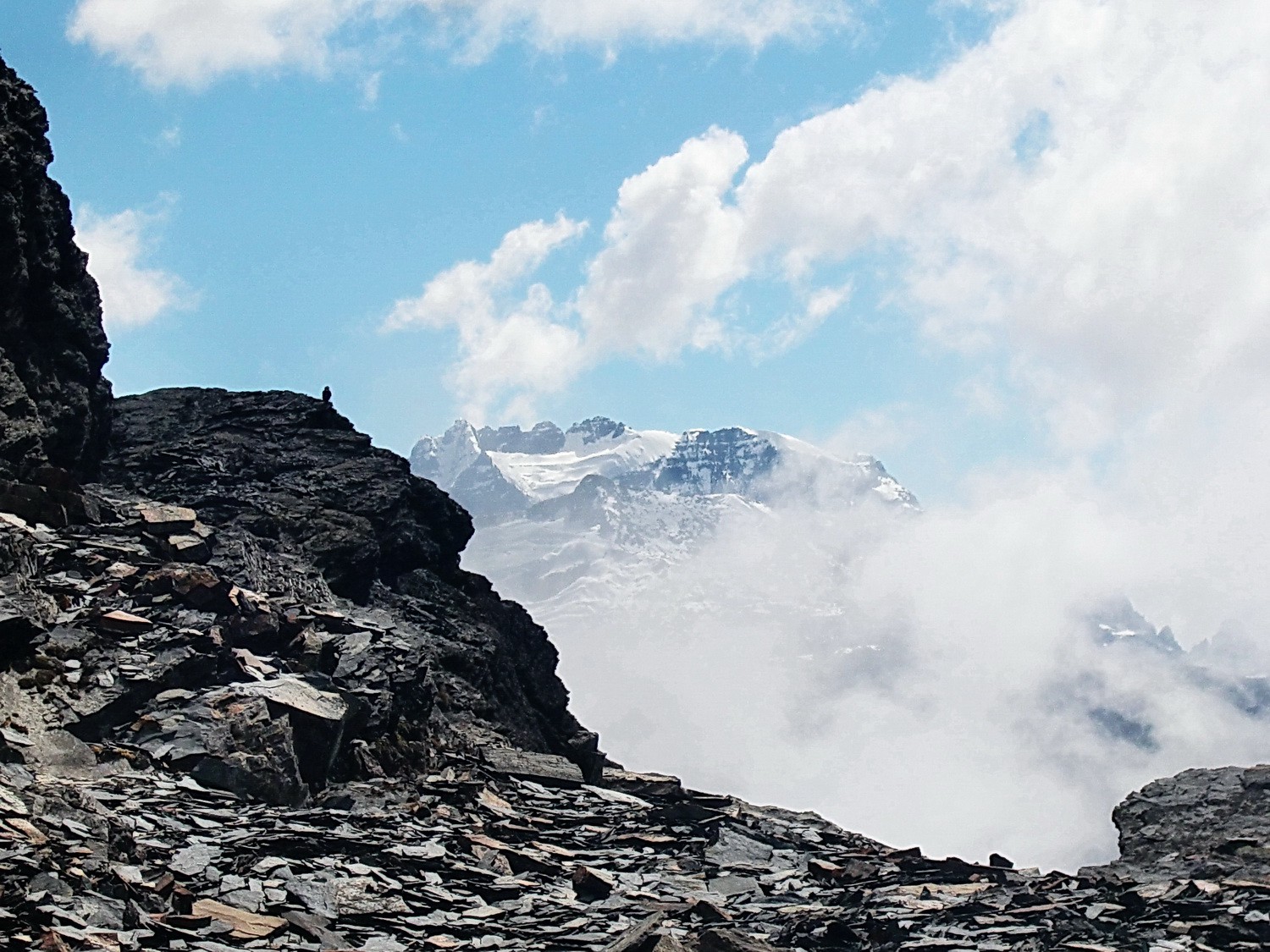
Bird watching us
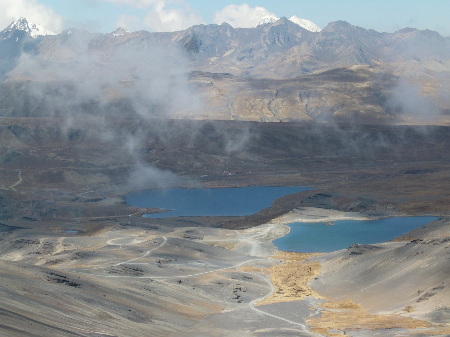
View back to the lakes
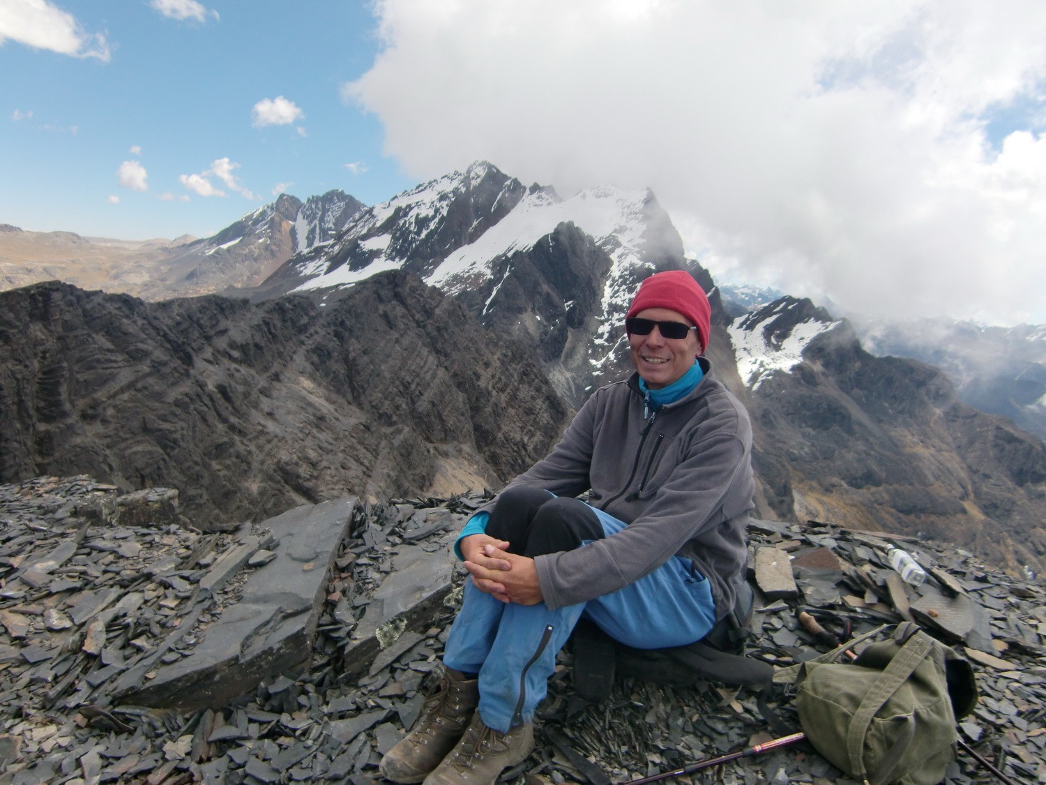
Summit of Cerro Saturno, 5006 meters sea level
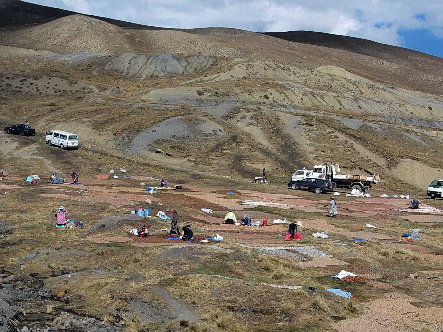
People drying potatoes at La Cumbre
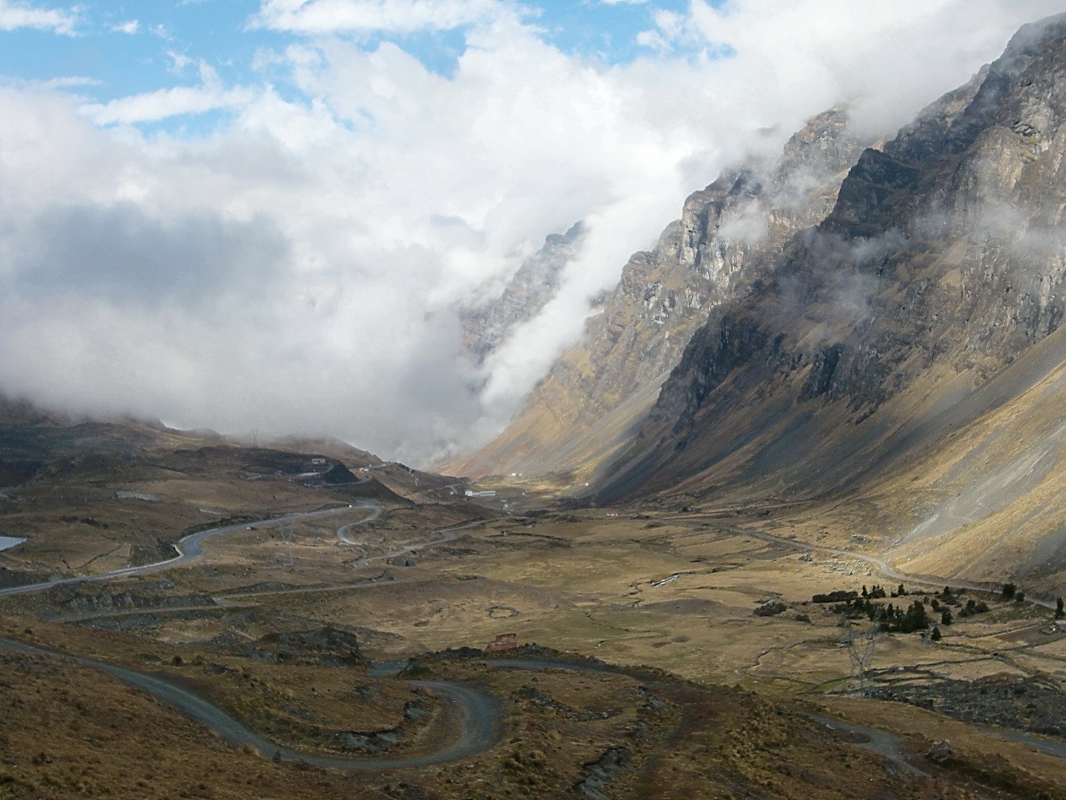
The valley down to Coroico
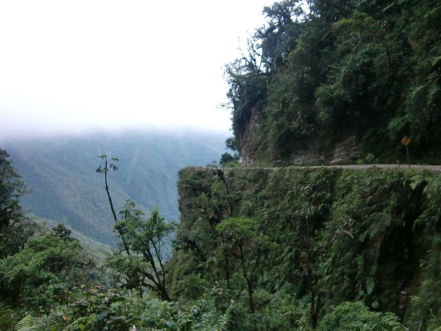
El Camino de la Muerte (Death Road) - A stunning bicycle tour
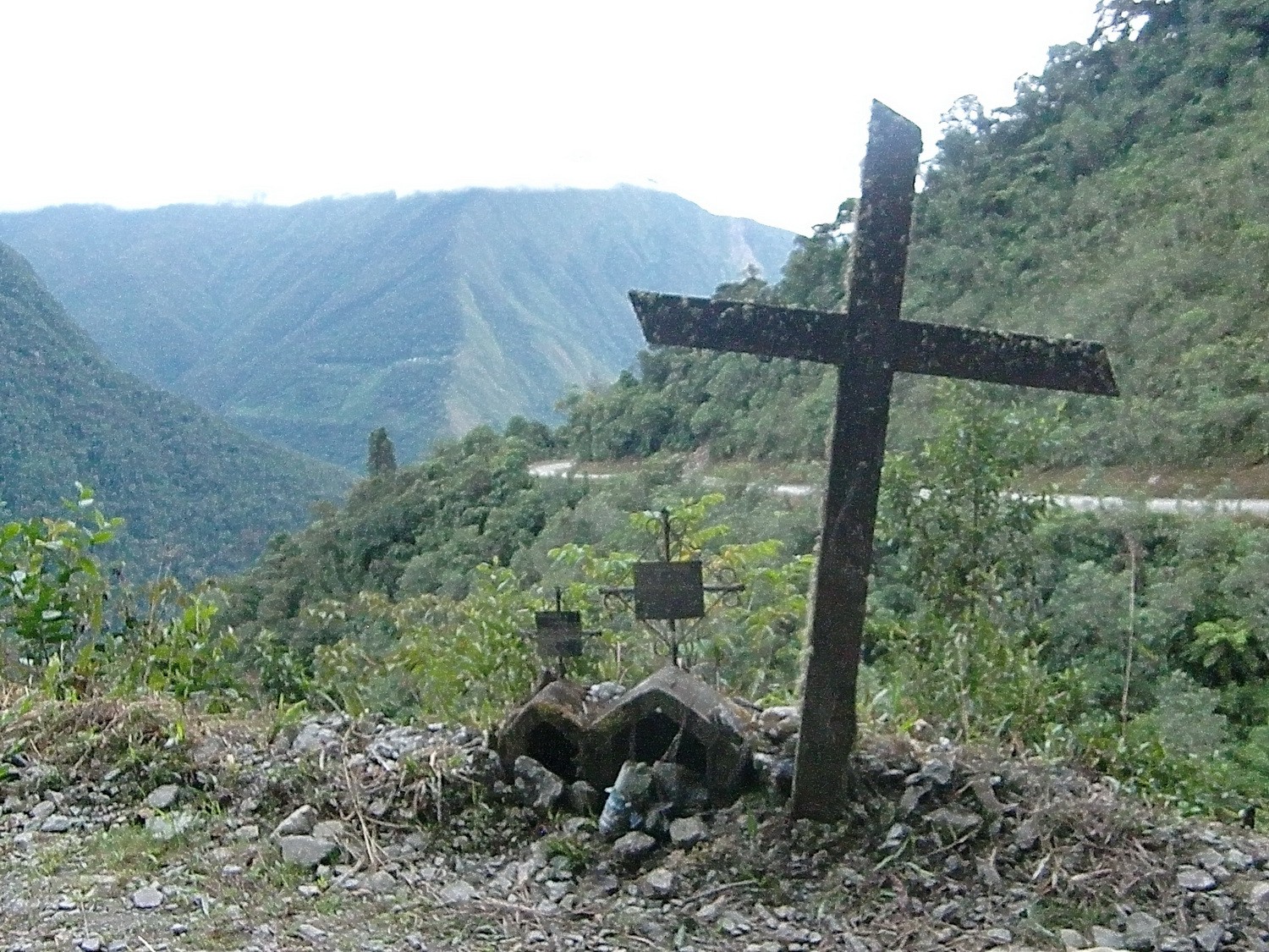
Memorials on the Camino de la Muerte
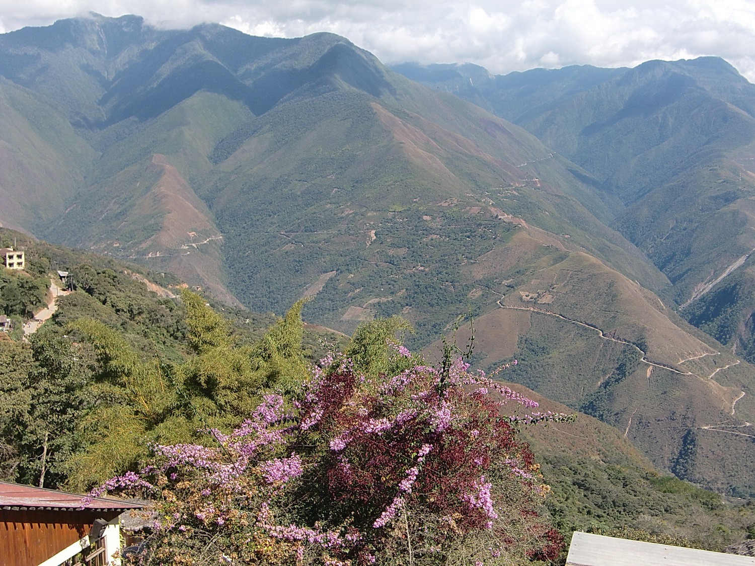
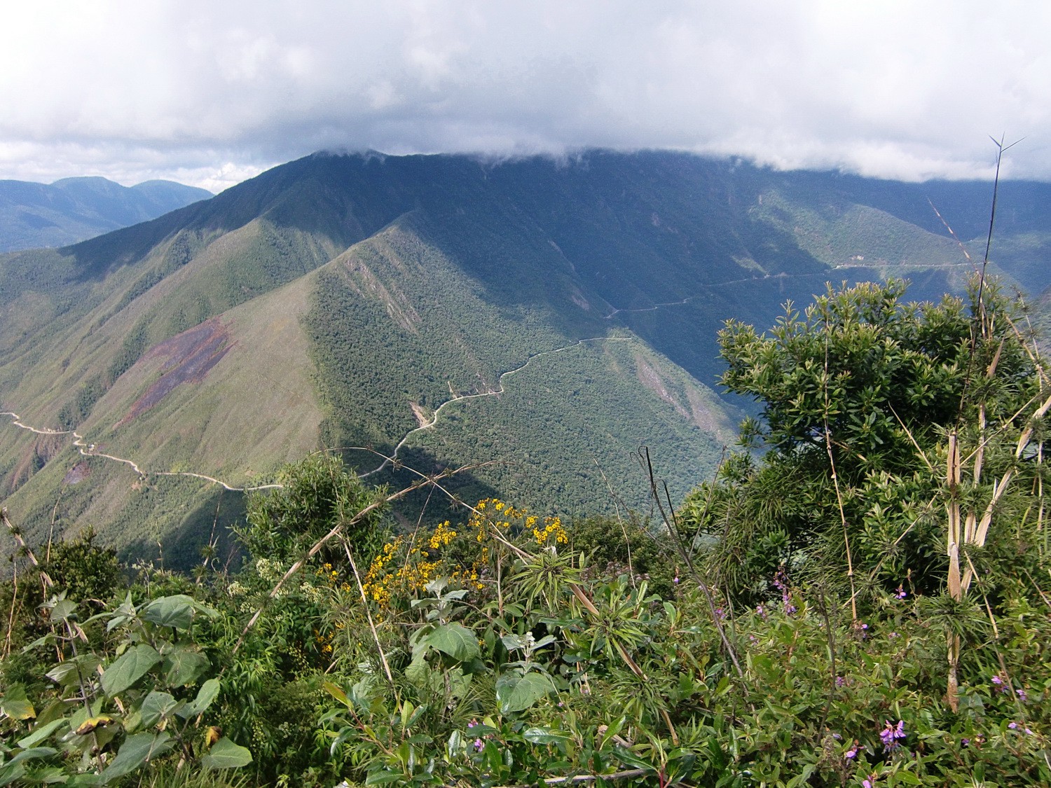
View to the Yungas from Coroico
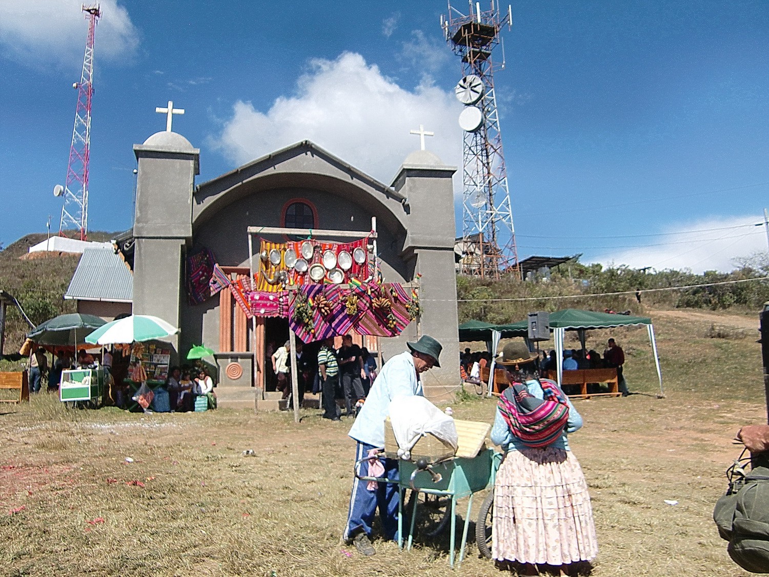
Church festivity
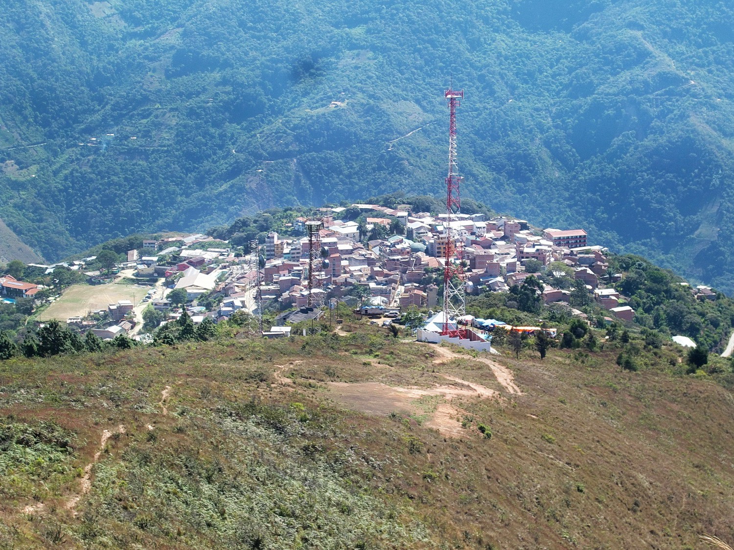
Coroico from the ascent to the Cerro Uchumachi
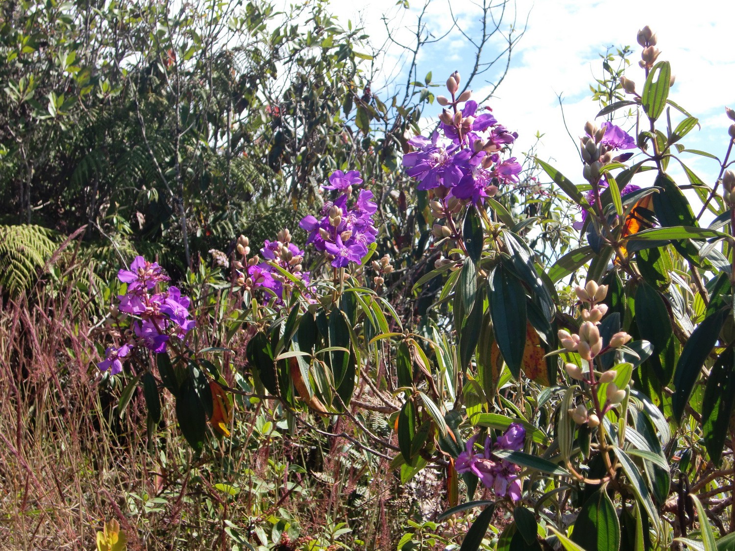
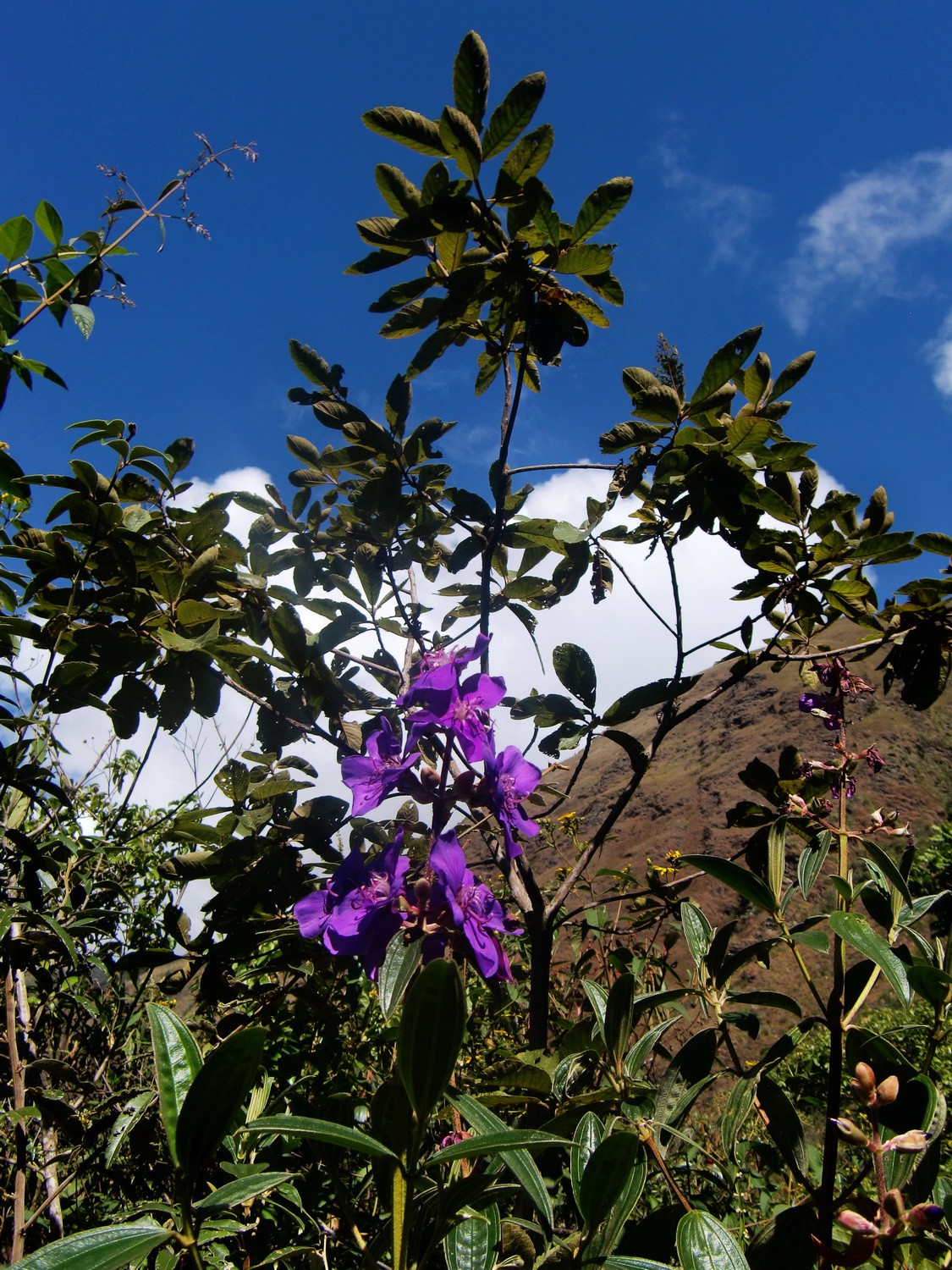
Purple flowers on the way to the Cerro Uchumachi
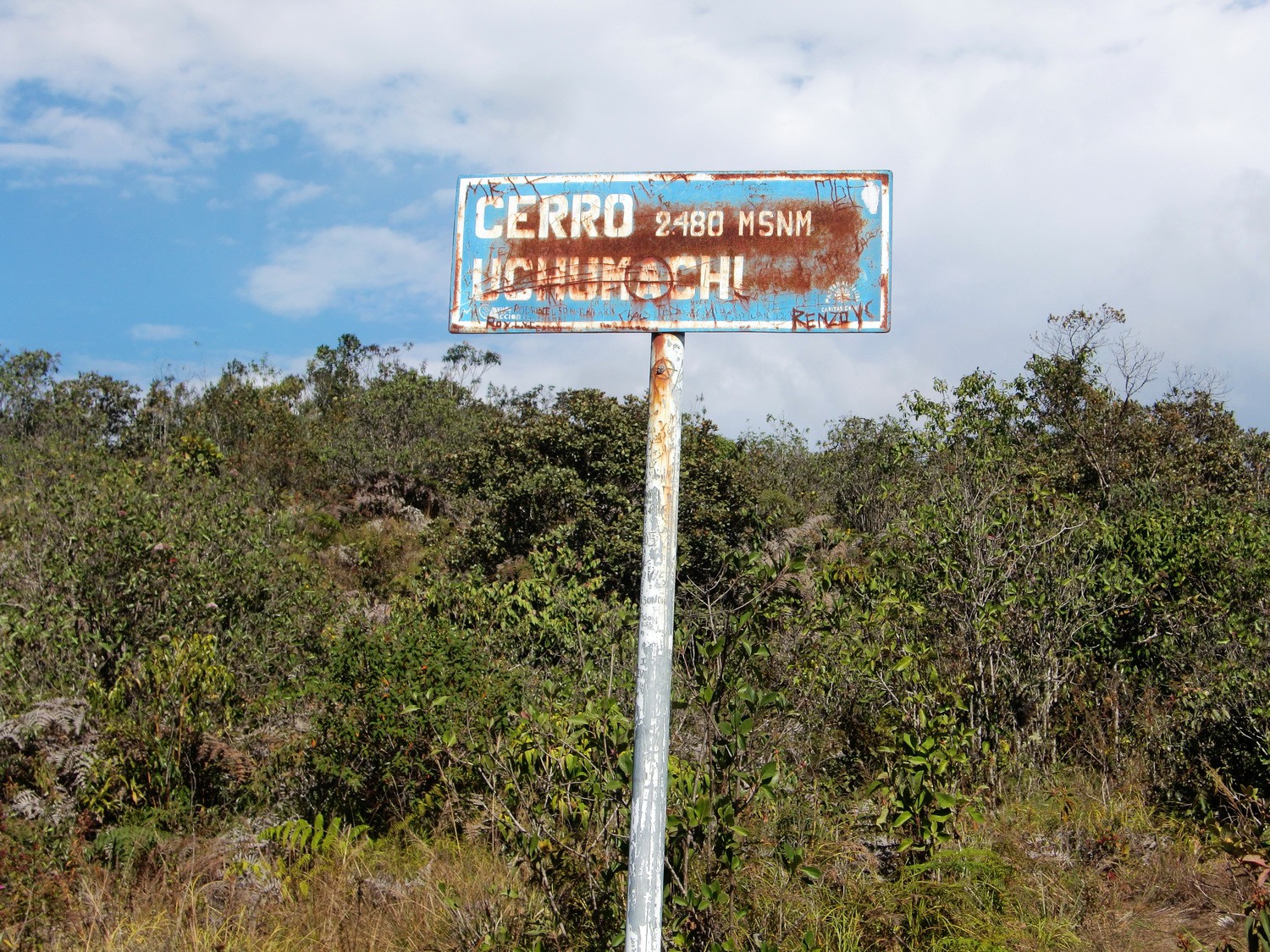
Summit of Cerro Uchumachi
Lilac flowers on the way to the waterfalls
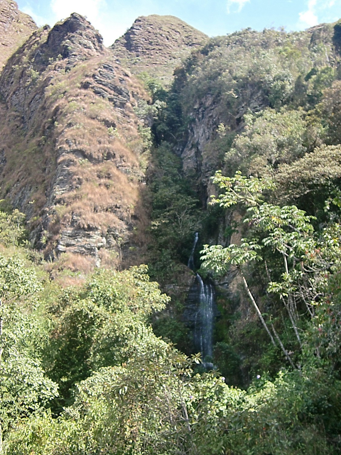
One of the waterfalls in the area of Coroico
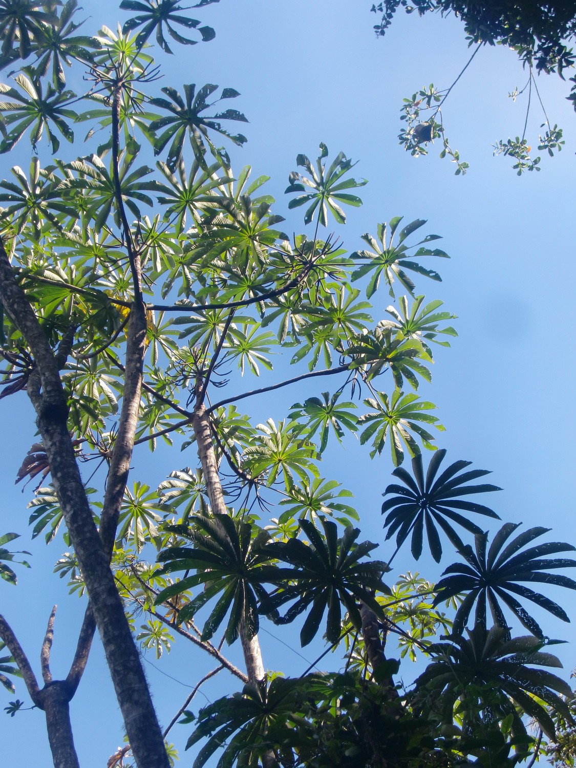
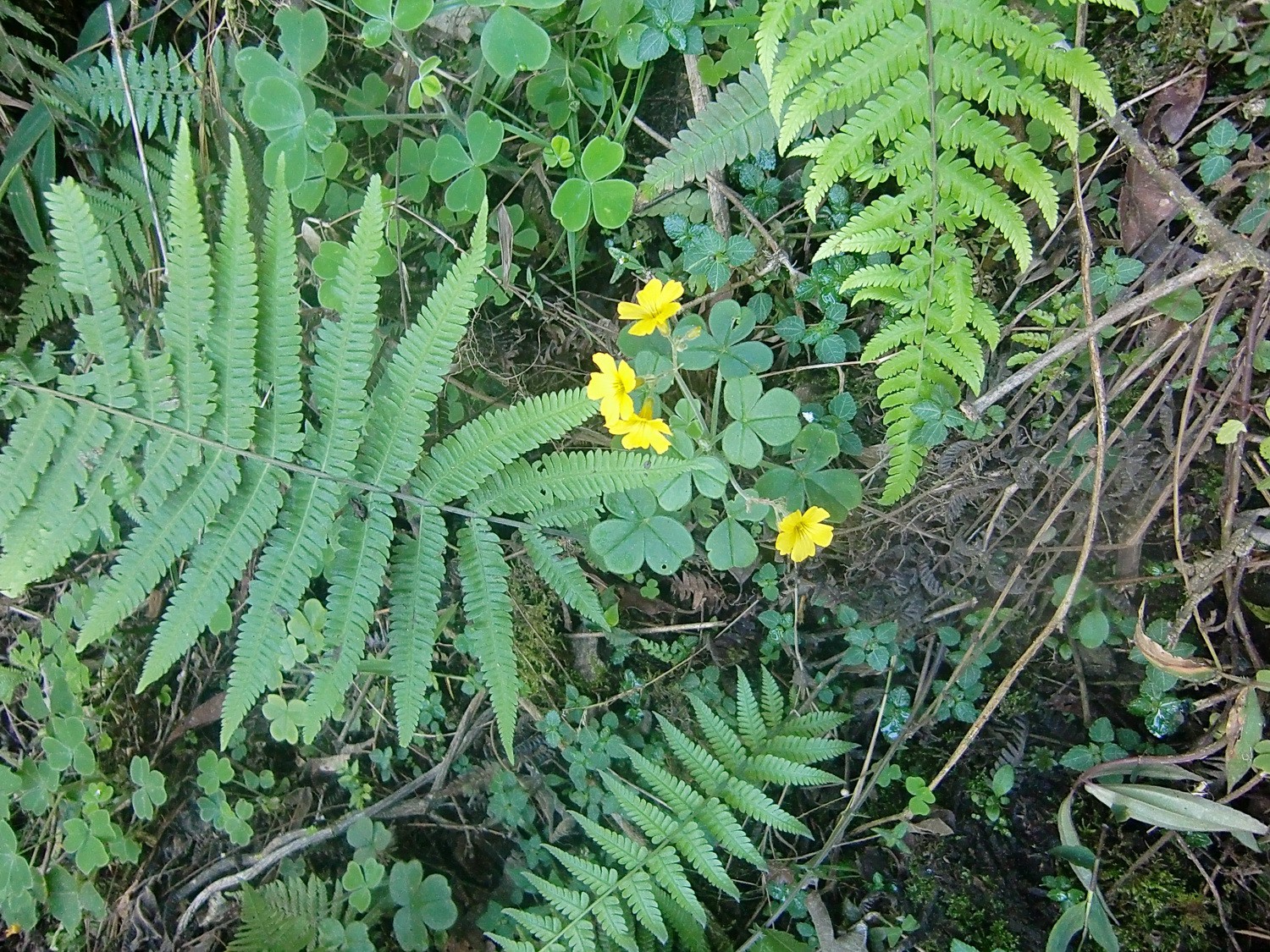
Propellor leafs
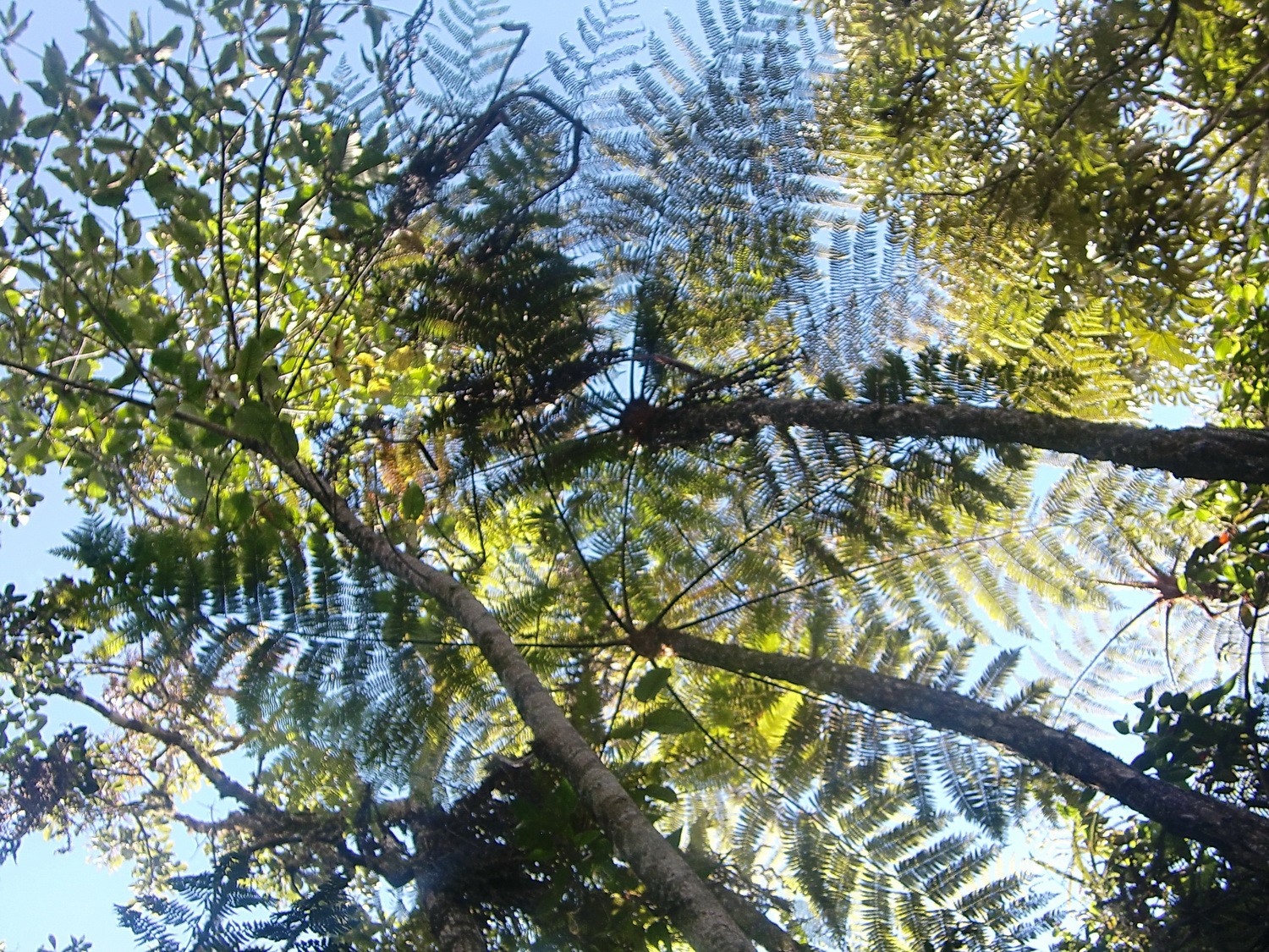
Crowns in the Yungas
Nice walk to the 2nd waterfall
Dense vegetation in the Yungas
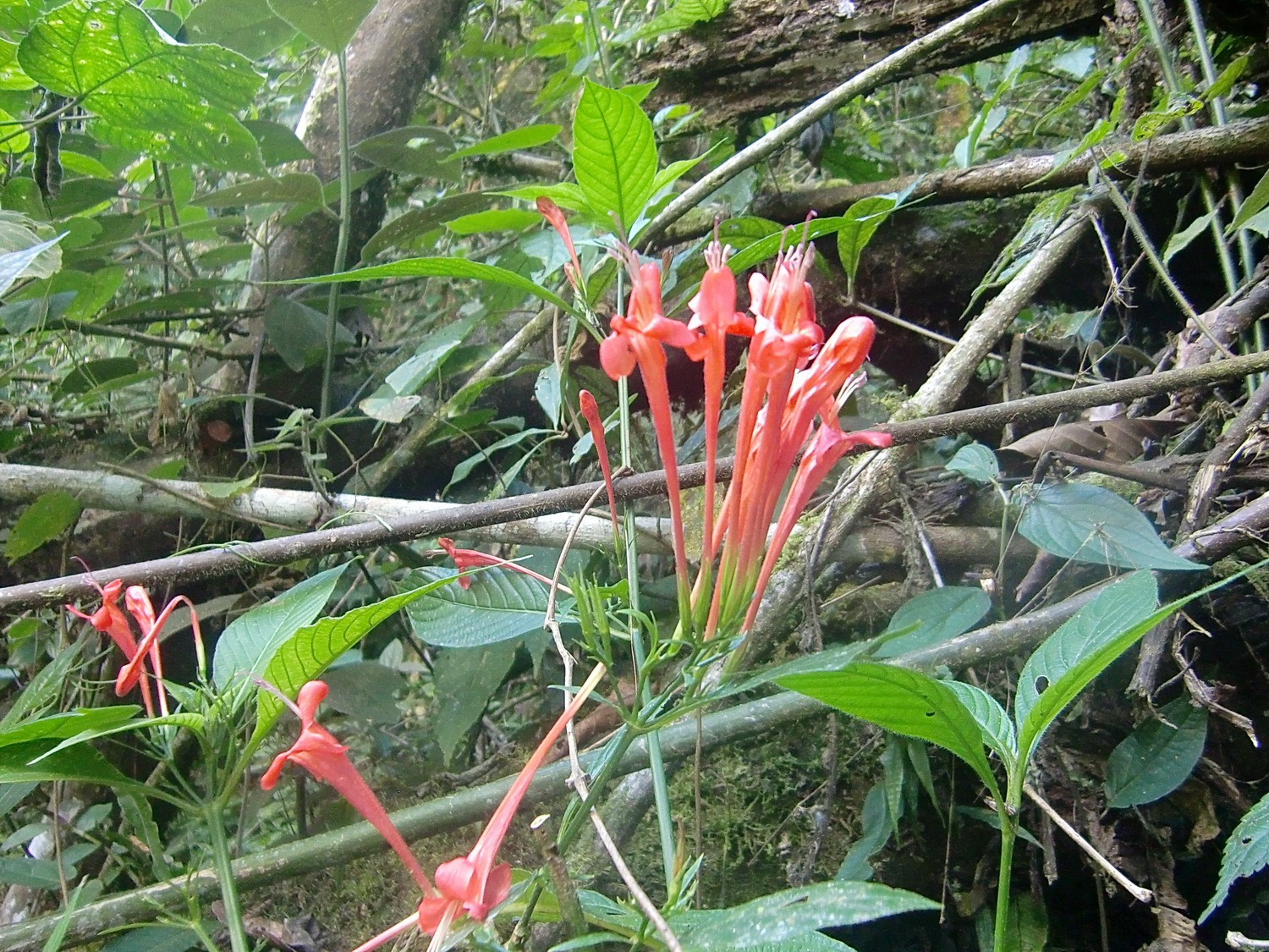
Red flowers
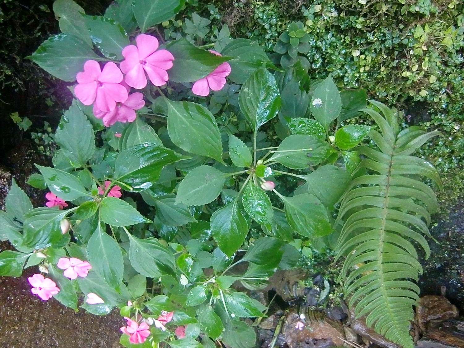
Pink flowers
Camino de la Muerte from new, fully tarred and broad road

Laguna Encanto from the way to the Serranias Almillanis
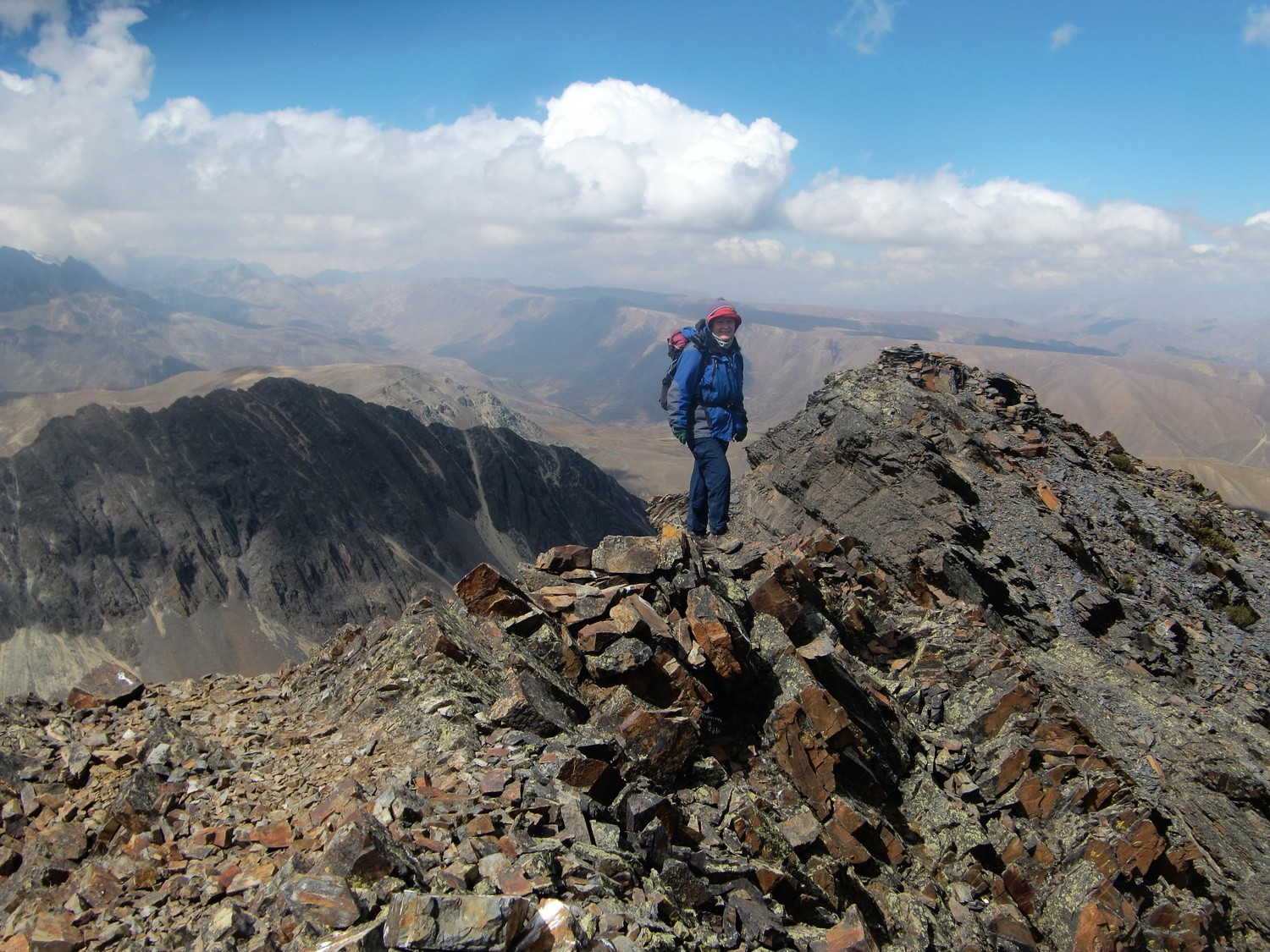
Marion to top of the Serranias Almillanis, 5108 meters sea level
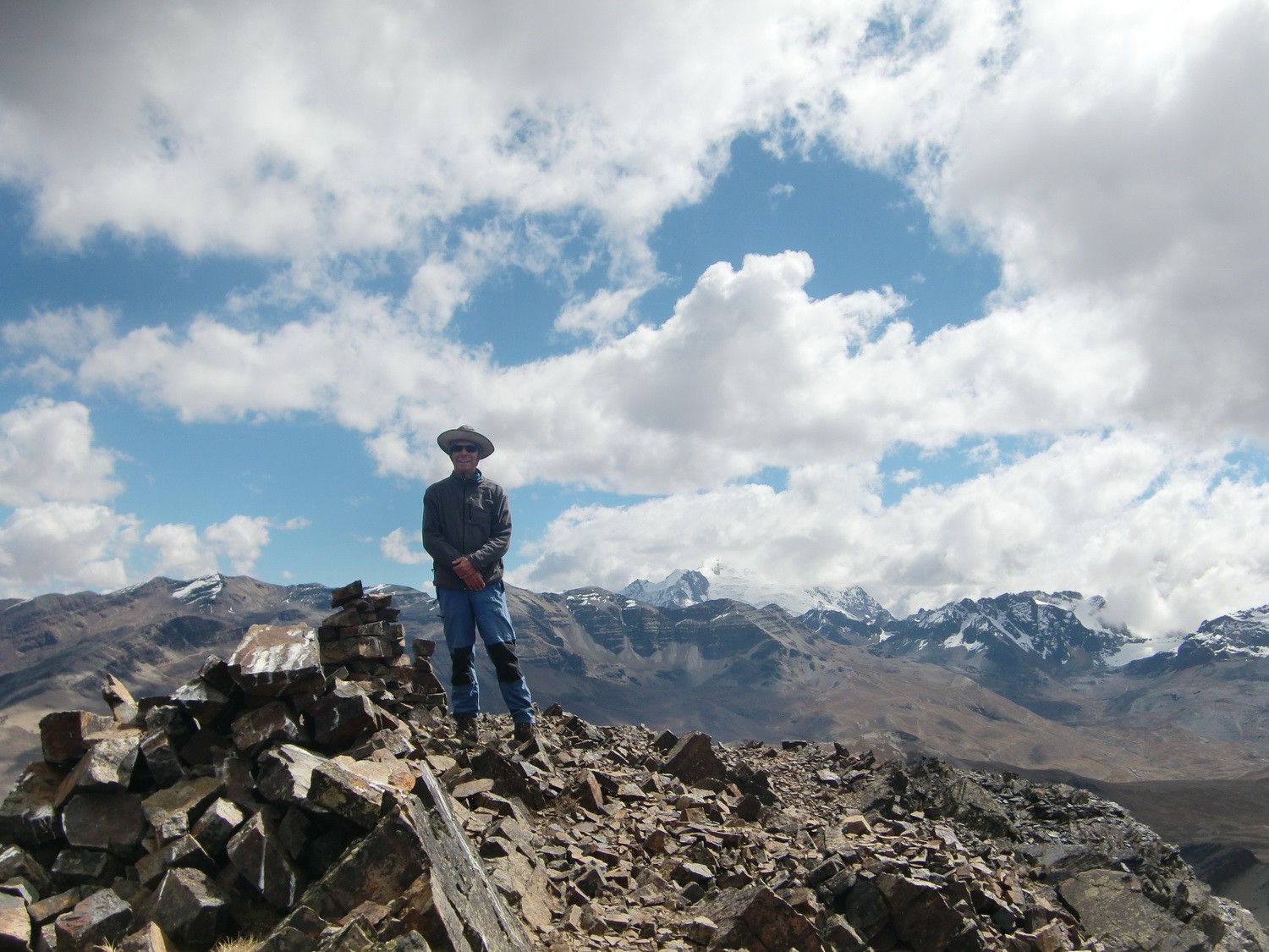
Alfred on the summit of the Serranias Almillanis
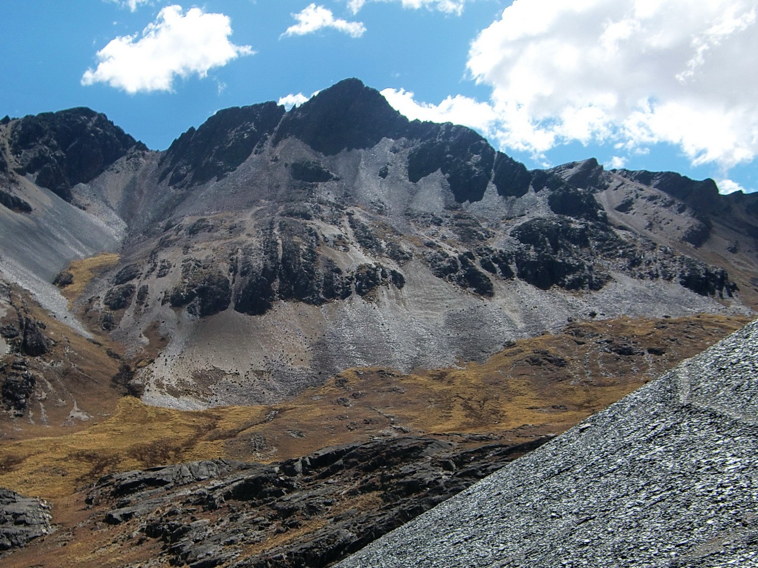
The black triangle of the Serranias Almillanis
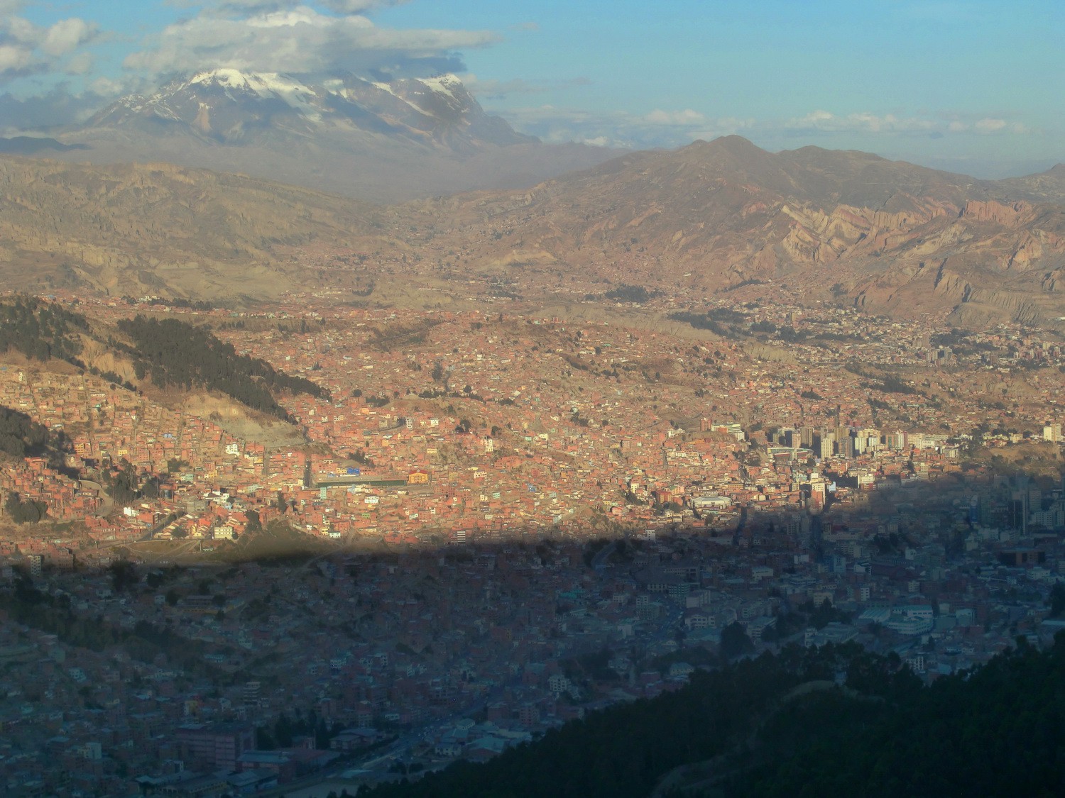
La Paz from the street to the Zongo Pass
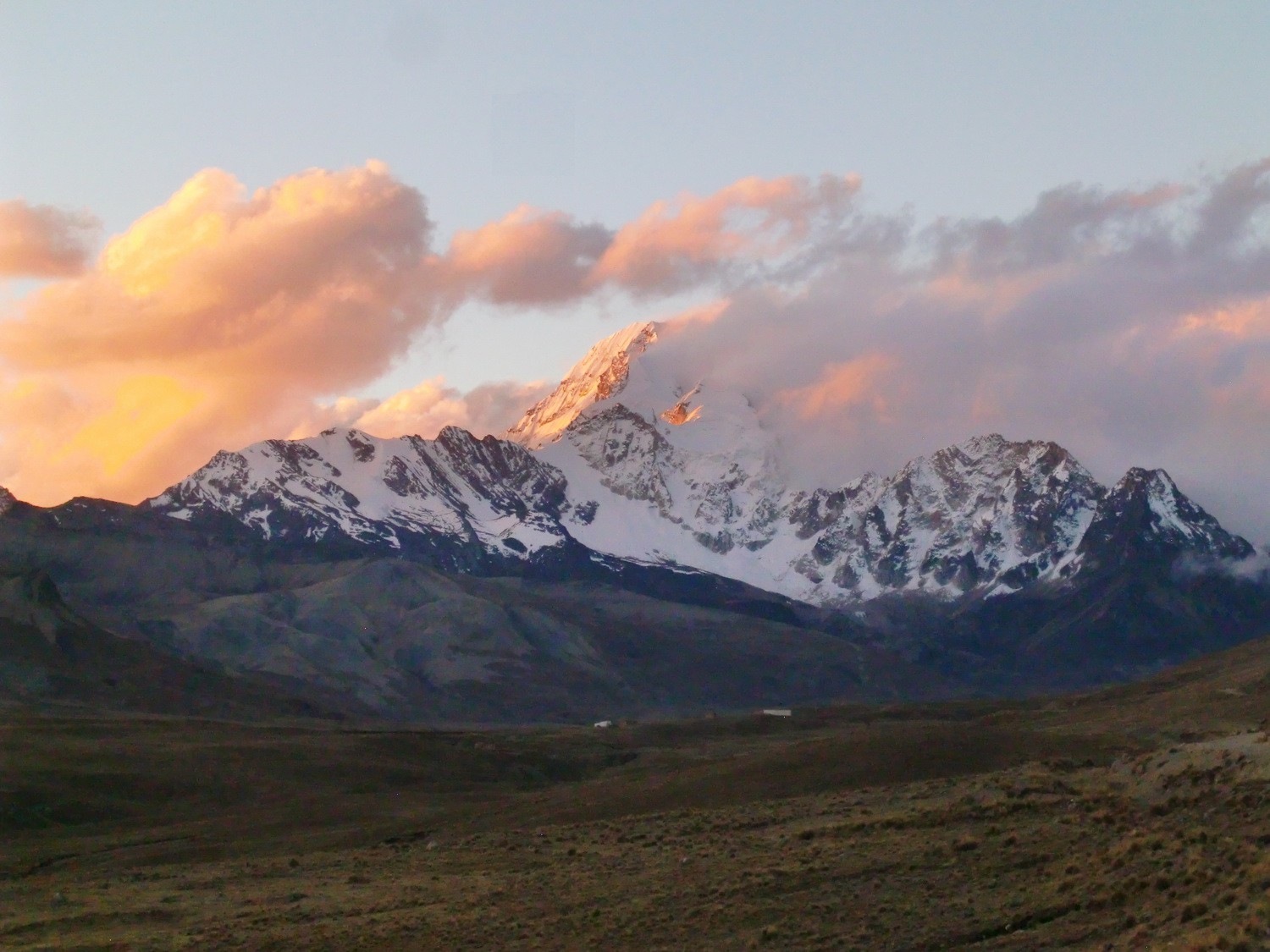
Huayana Potosi in the early morning light
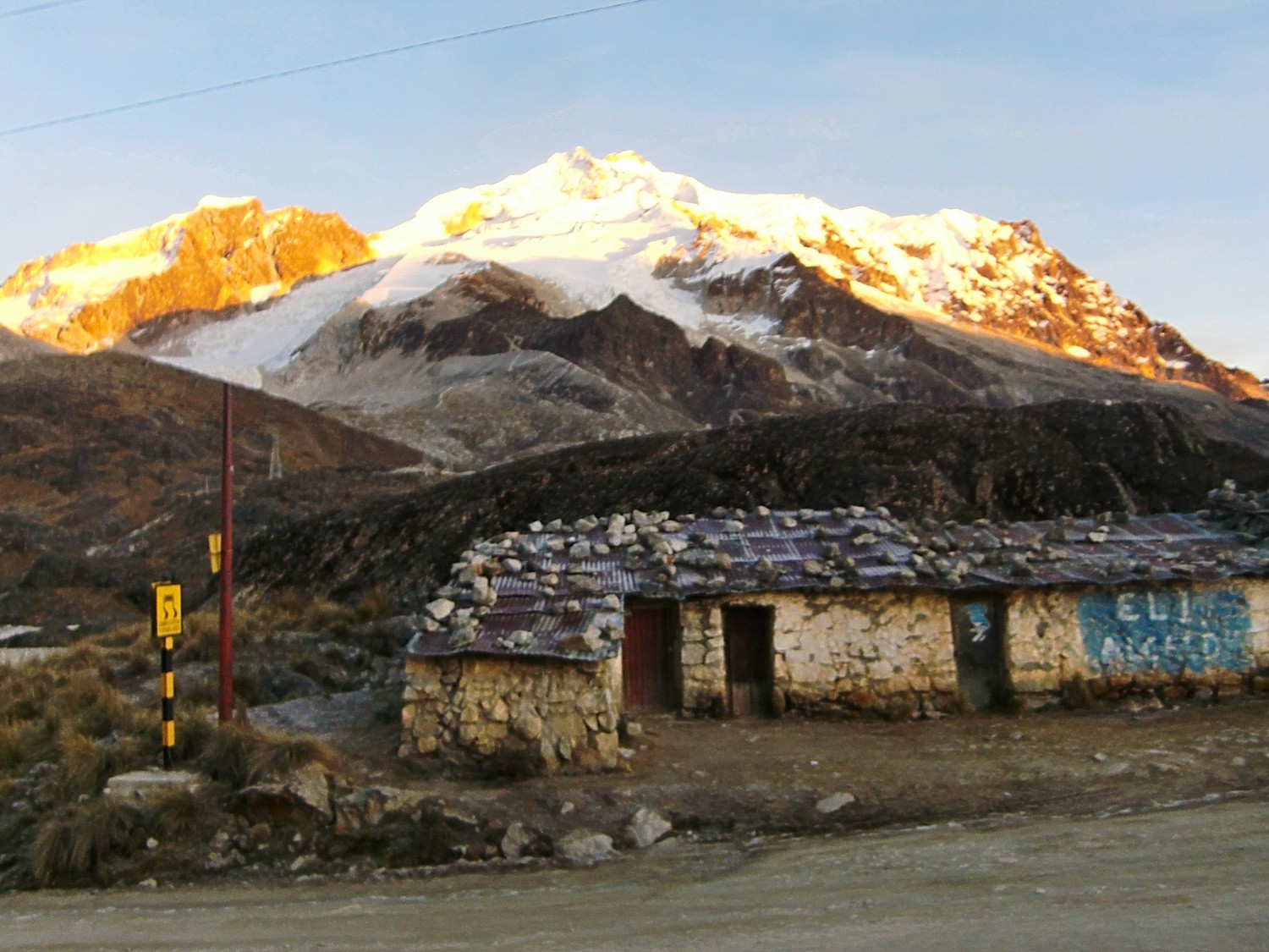
Huts on the Zongo Pass with Huayana Potosi in the background
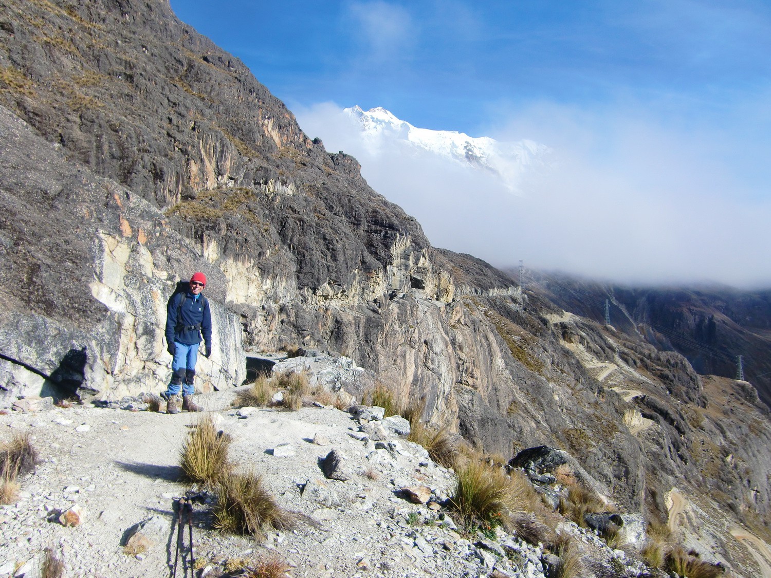
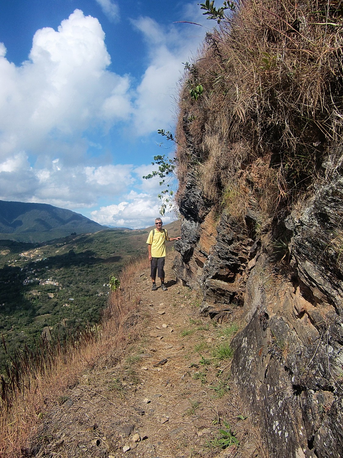
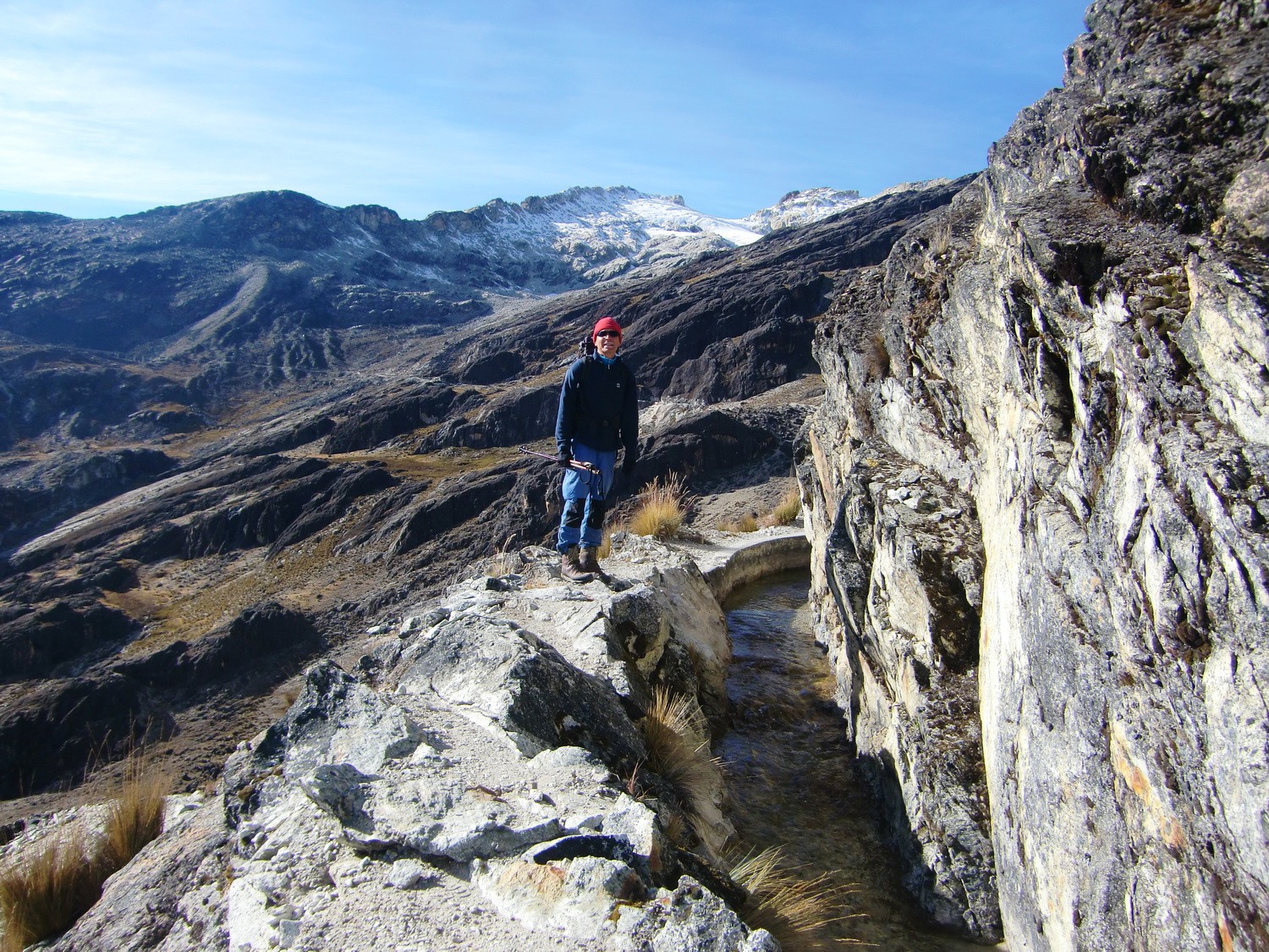
We came the way along the viaduct through the wall
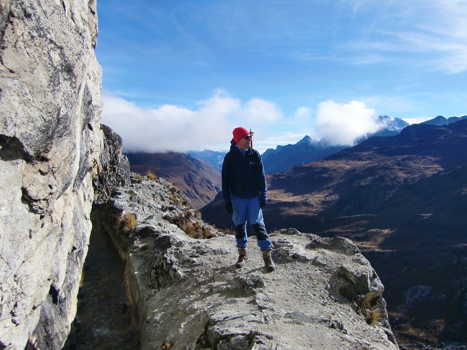
View to our destination, the Cerro Charkini (the white right mountain in the background)
The viaduct and its way, sometimes very narrow and breezy
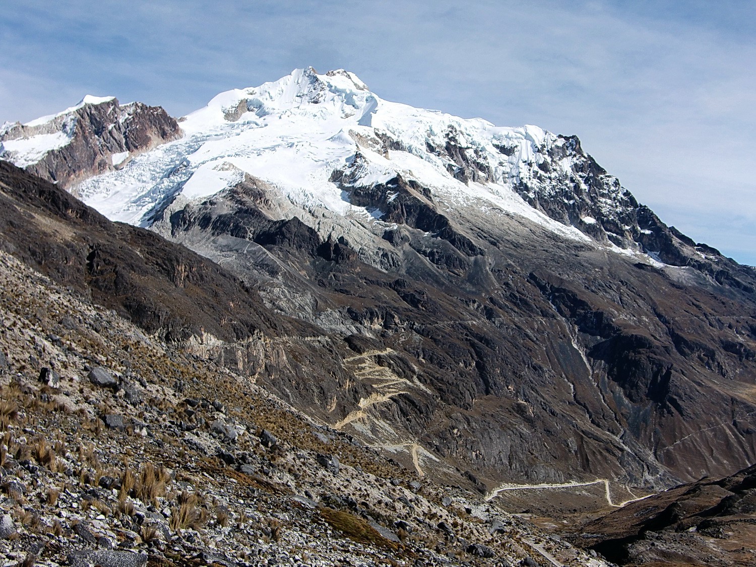
Majestic Huayana Potosi, 6088 meters high
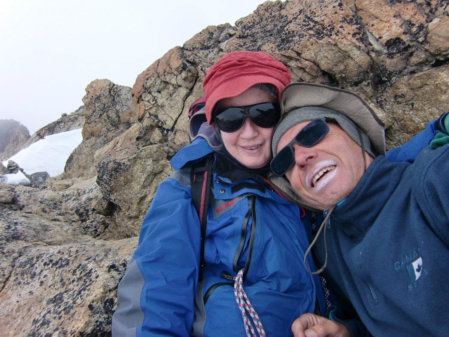
A cosy corner on the summit of the Cerro Charkini, 5392 meters sea level

On the glacier of the Cerro Charkini
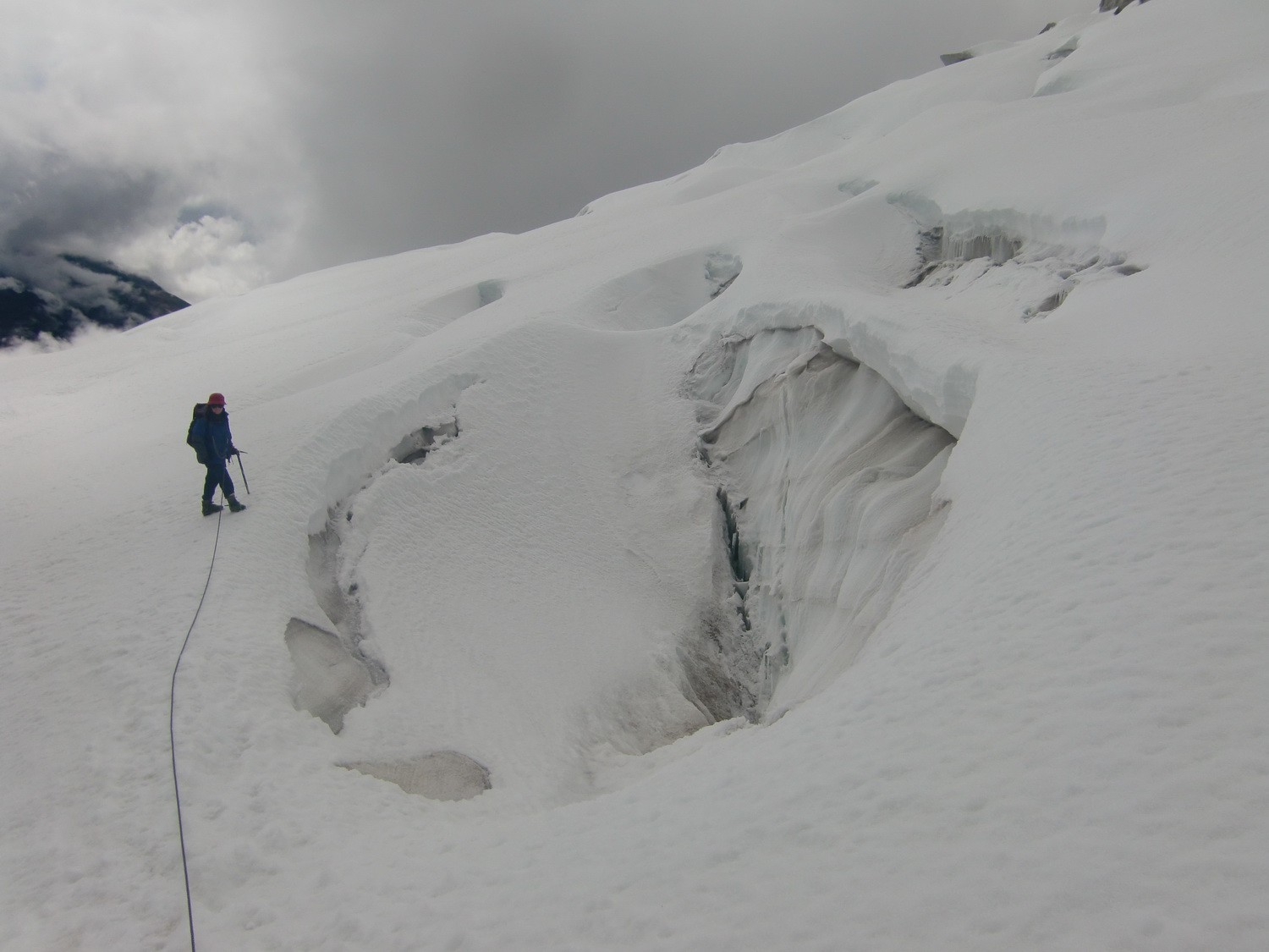
Big crevasses!
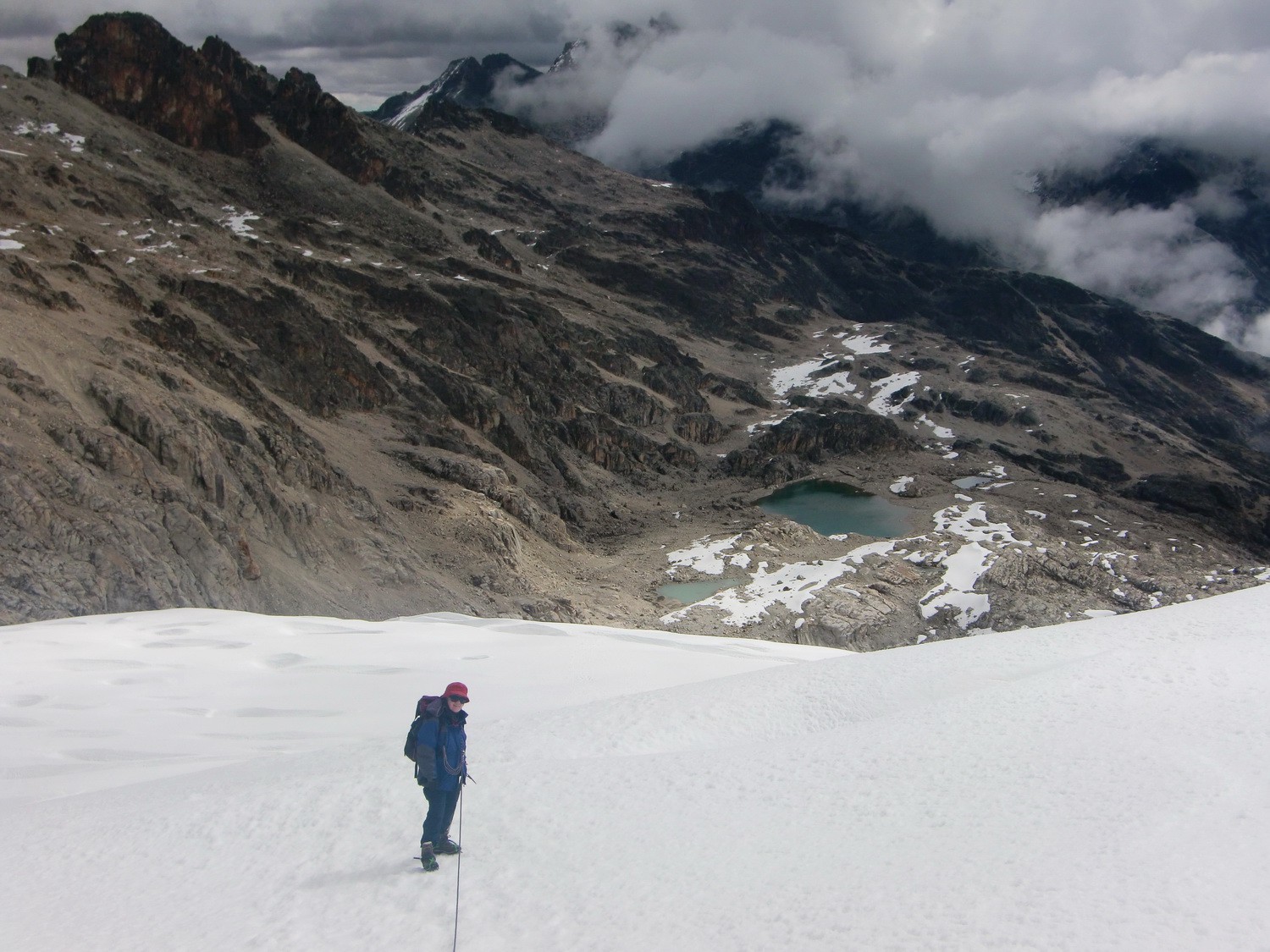
View down to the glacier lakes
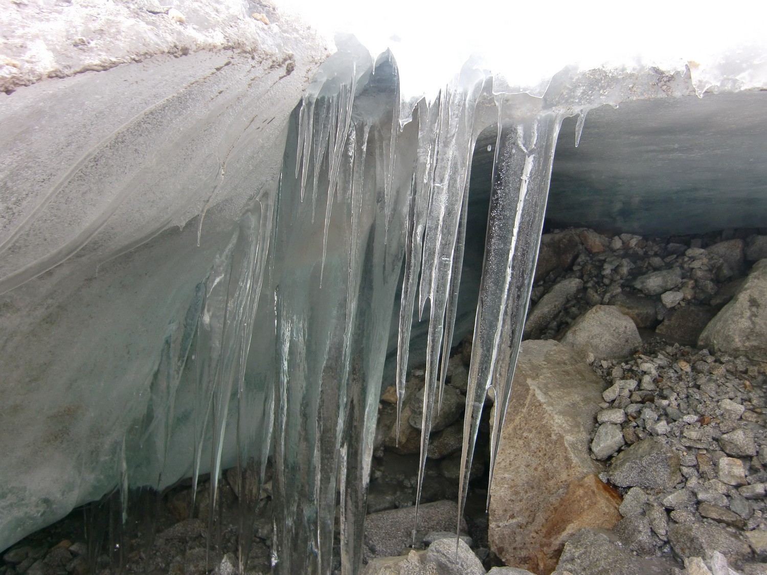
Icicles of the glacier
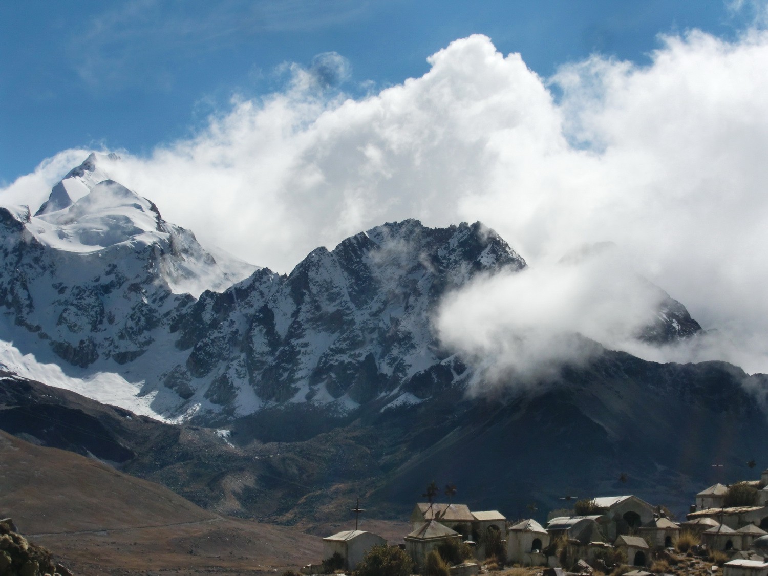
Bad weather is coming
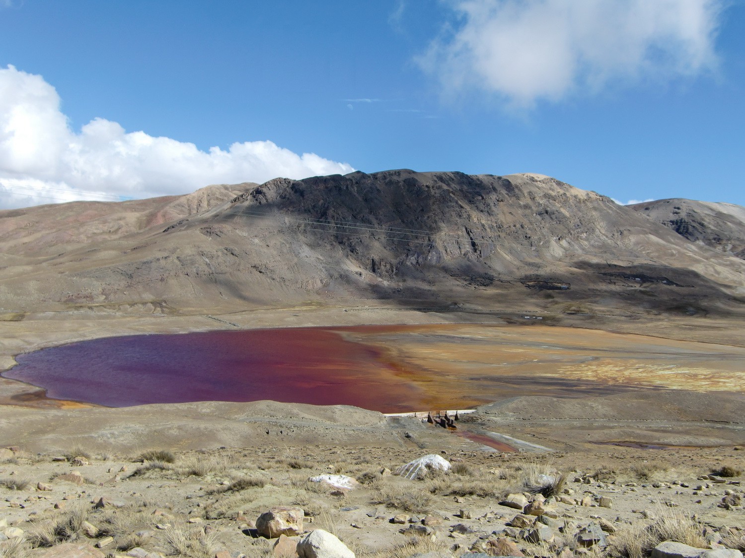
Red lake close to the Zongo Pass
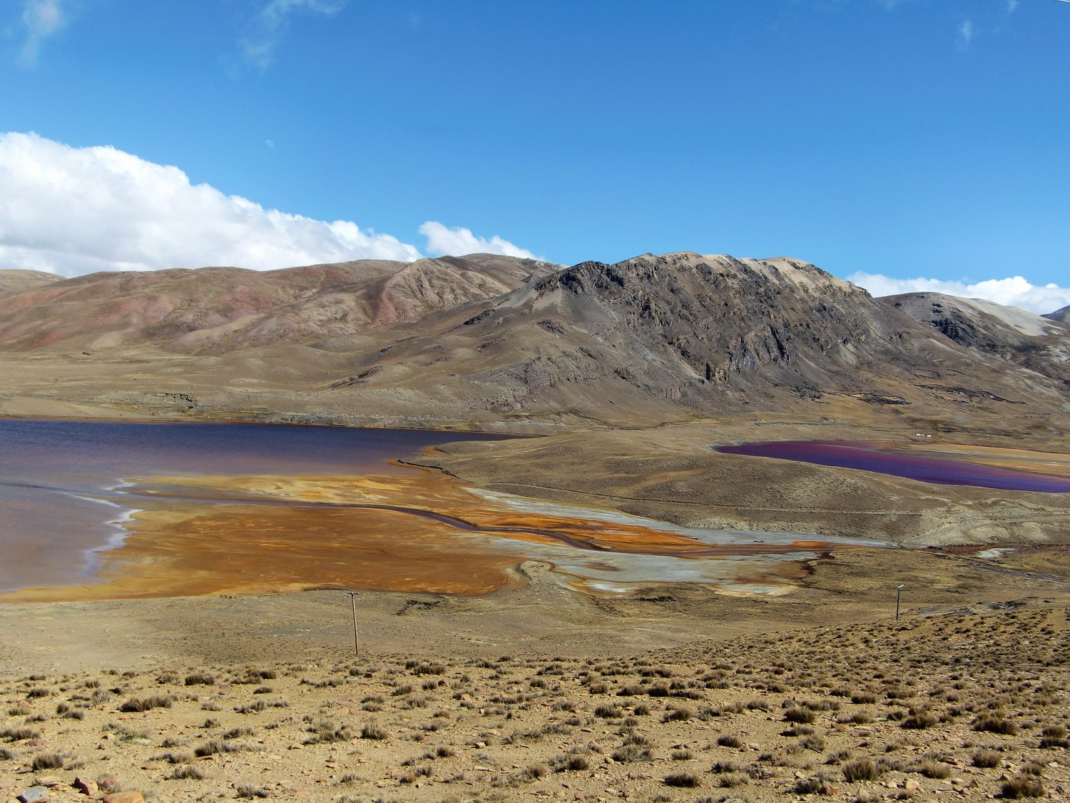
Colorful Cordillera Real
Powered by Phoca Gallery