
- You are here:
- Home

- Pictures
- South America
- Argentina
- Most northern part of Ruta 40
Pictures - Most northern part of Ruta 40
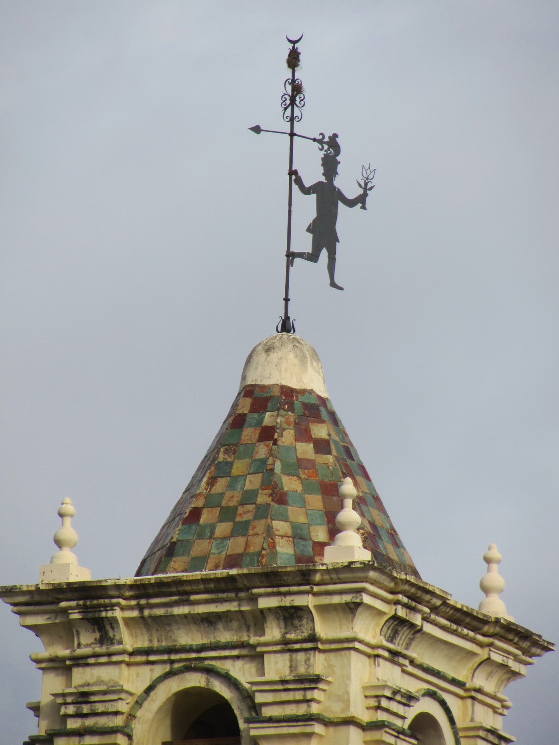
Iron man on top of the Cabildo in Salta
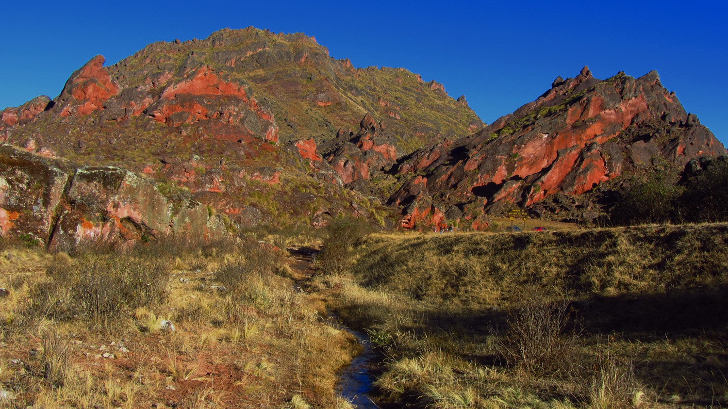
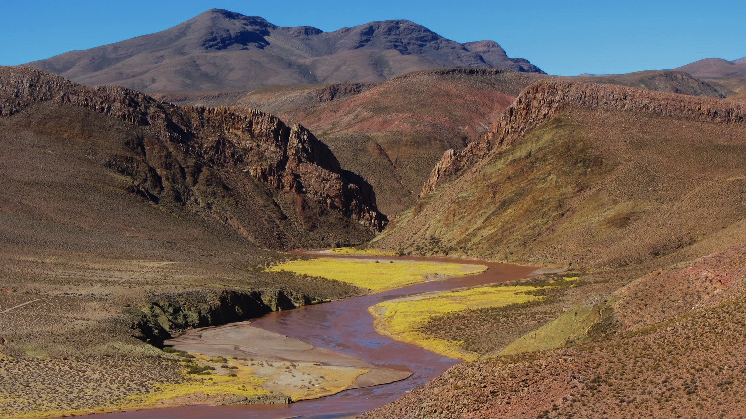
In the Valle Encantada (enchanted valley) between Salta and Cachi
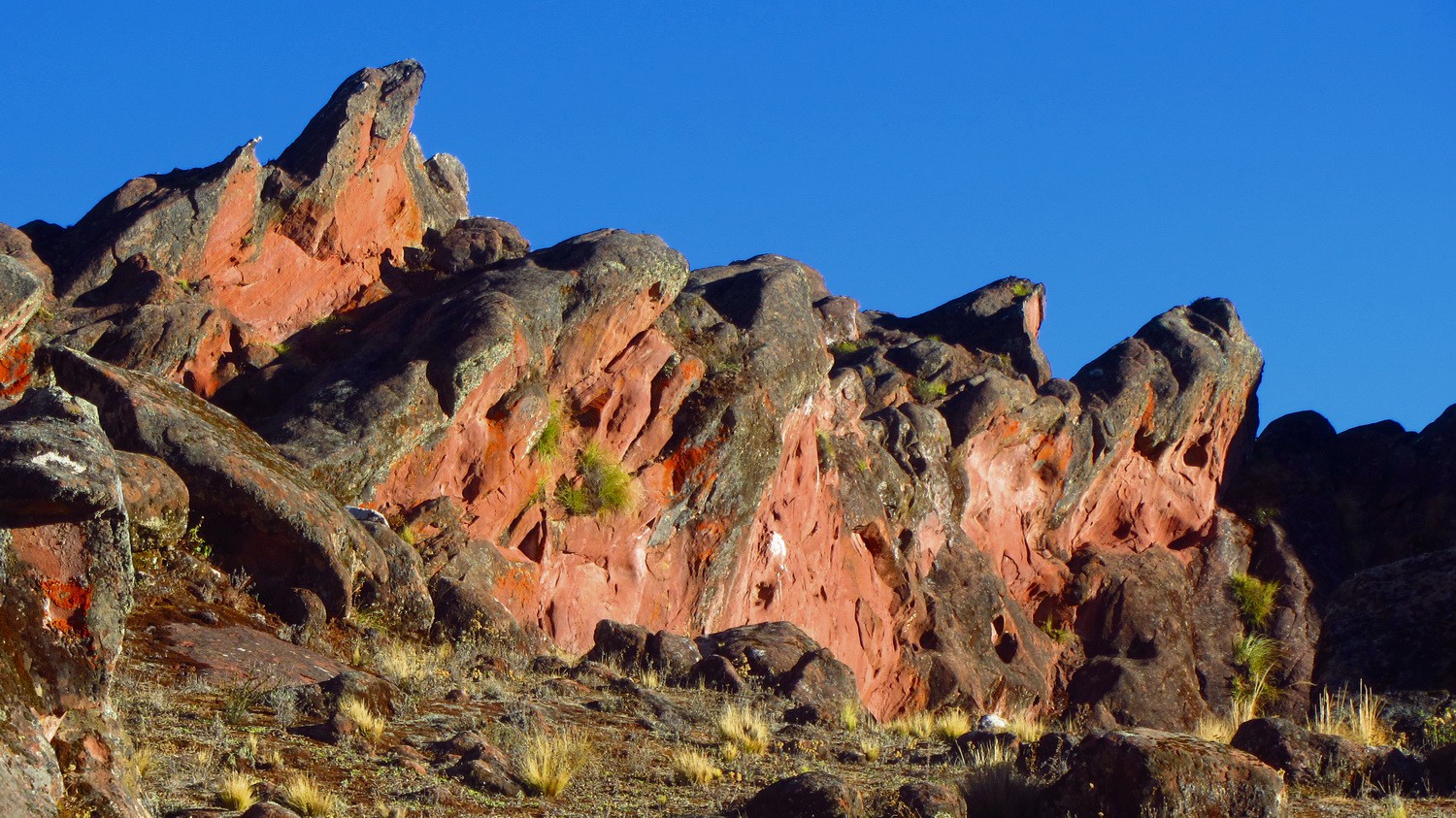
Red rocks in the last daylight
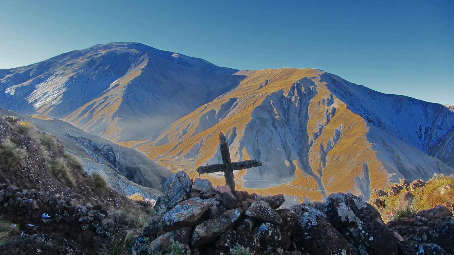
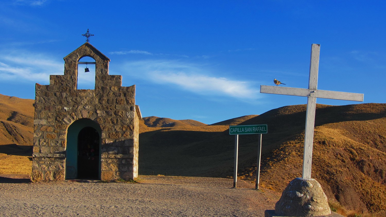
Cross in the Valle Encantada with Cerro Negro in the background
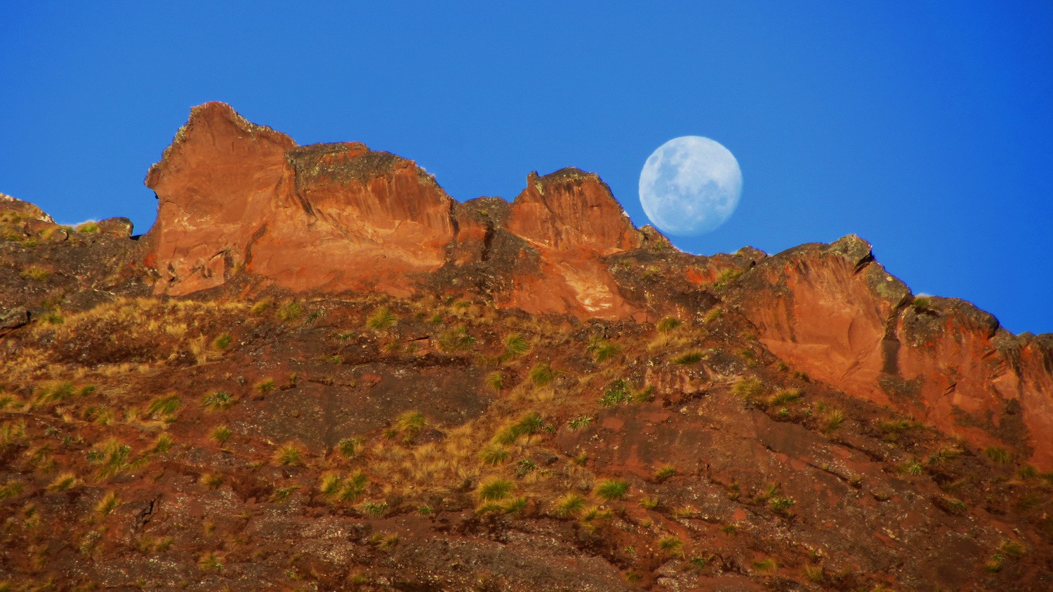
Nearly full moon in the Valle Encantada
On top of the street between Salta and Cachi (RN33) - 3425 meters sea-level
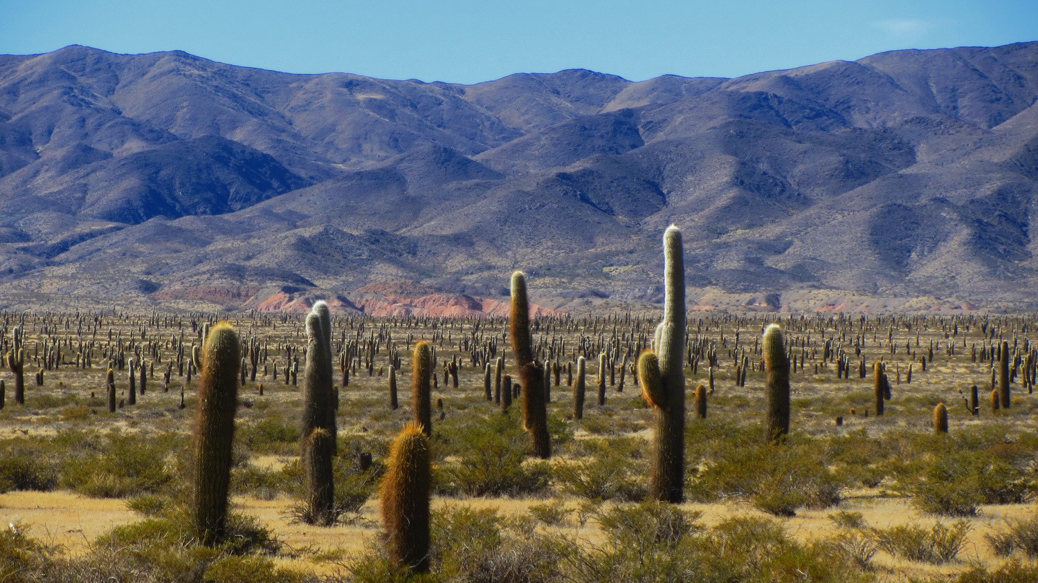
Many cactuses in the Parque Nacional Los Cardones
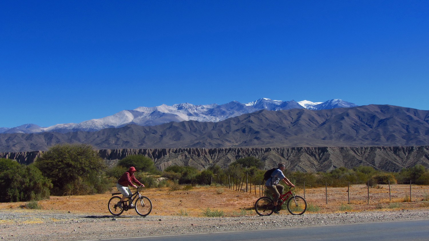
Bicycling down to Cachi with the snowy mountains Nevados de Cachi in the background
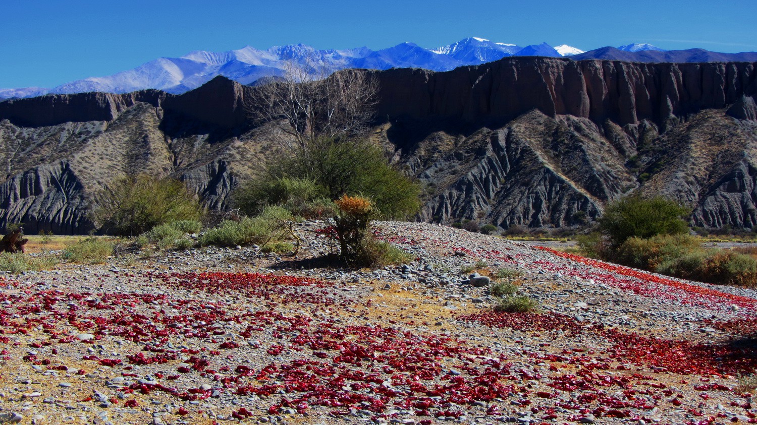
Drying chili
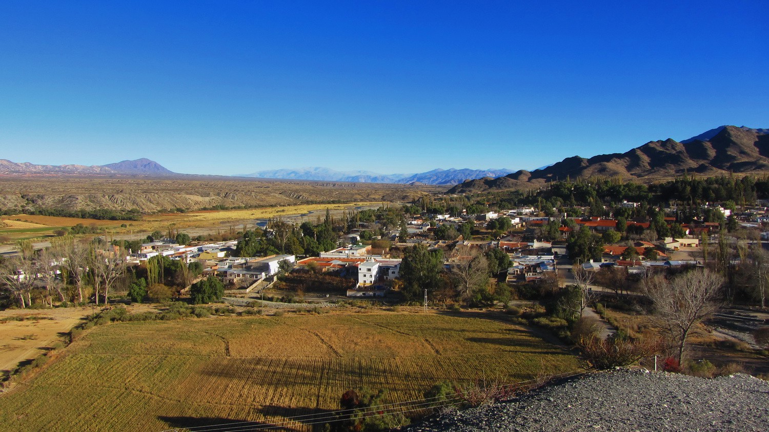
The little town Cachi seen from its graveyard
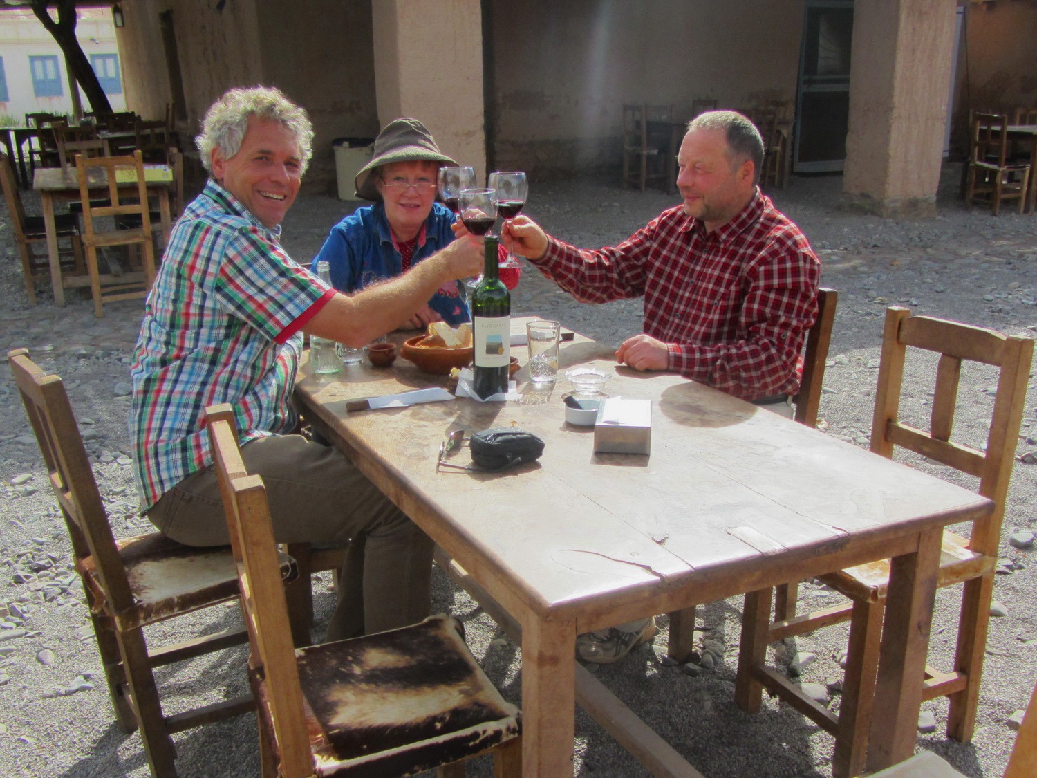
Celebrating Alfred's birthday in Payogasta with its delicious wine
Celebrating Alfred's birthday in Payogasta with its delicious wine
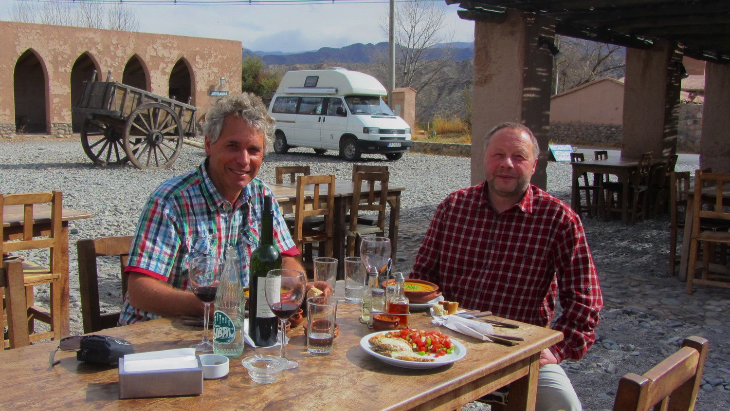
Wonderful food: Locro (stew with meat, beans and pumpkins) and Rellenos (rolls filled with ham, cheese and eggs)
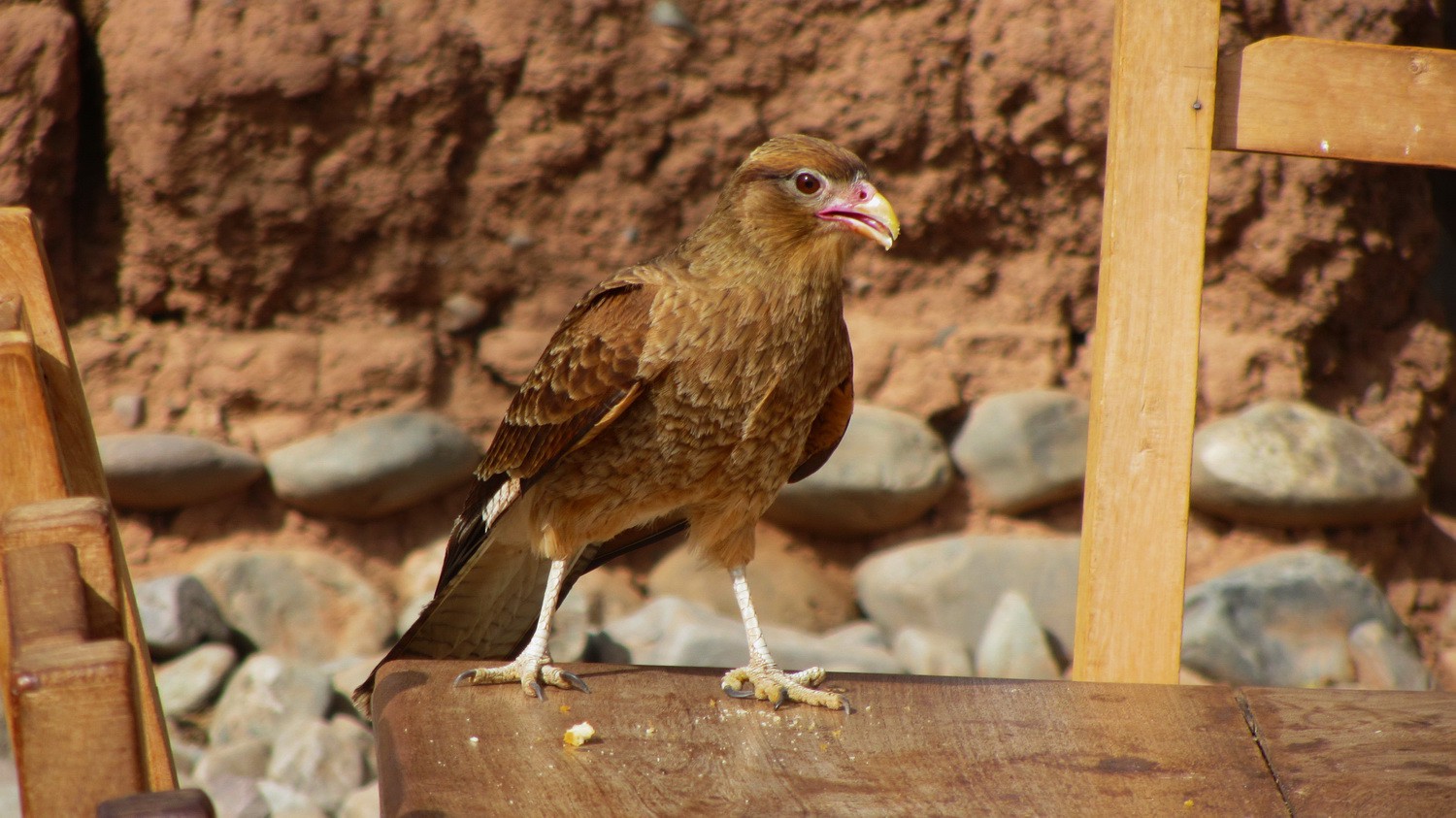
Raptor on the table
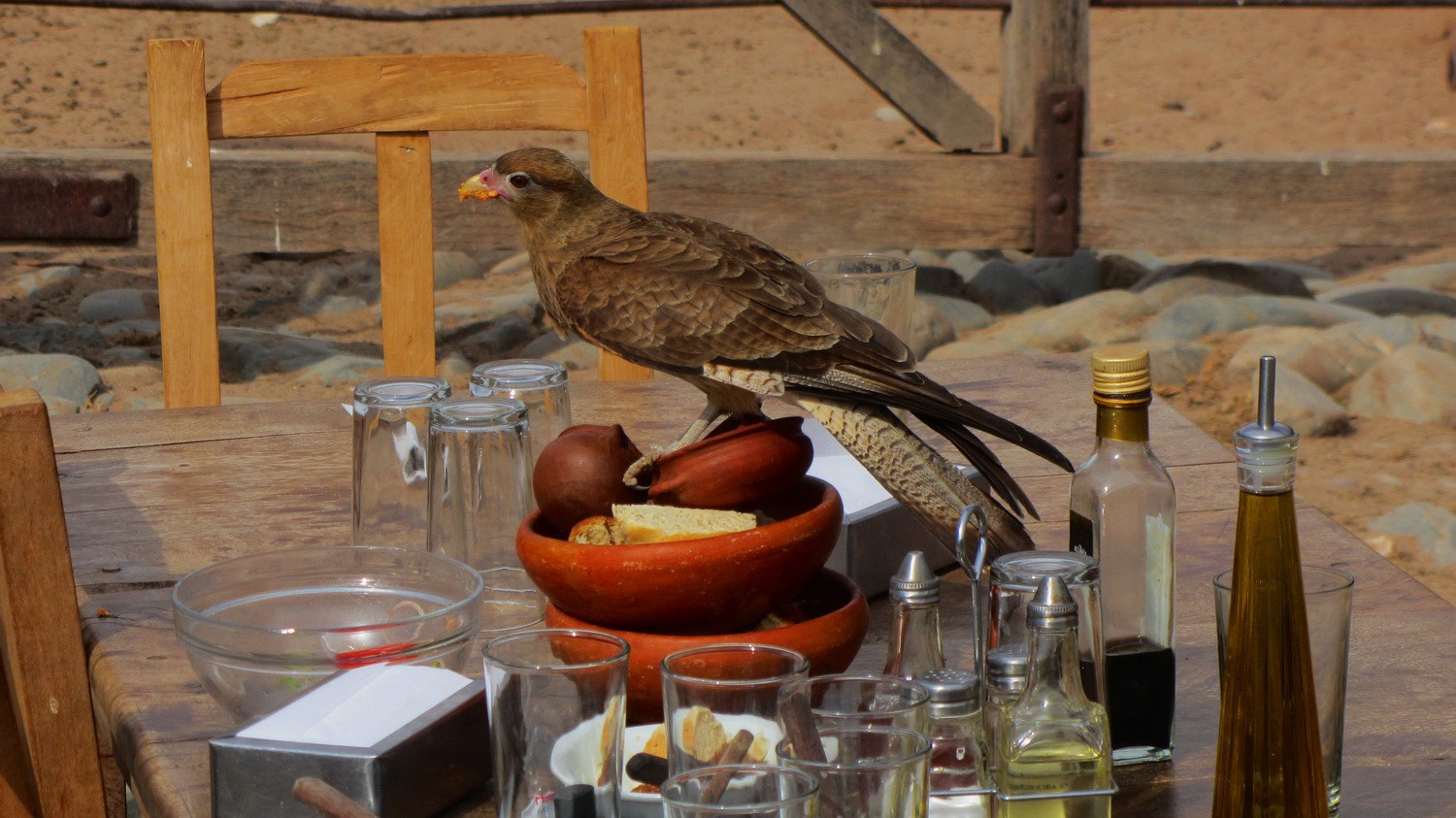
Bon apetit, little raptor!
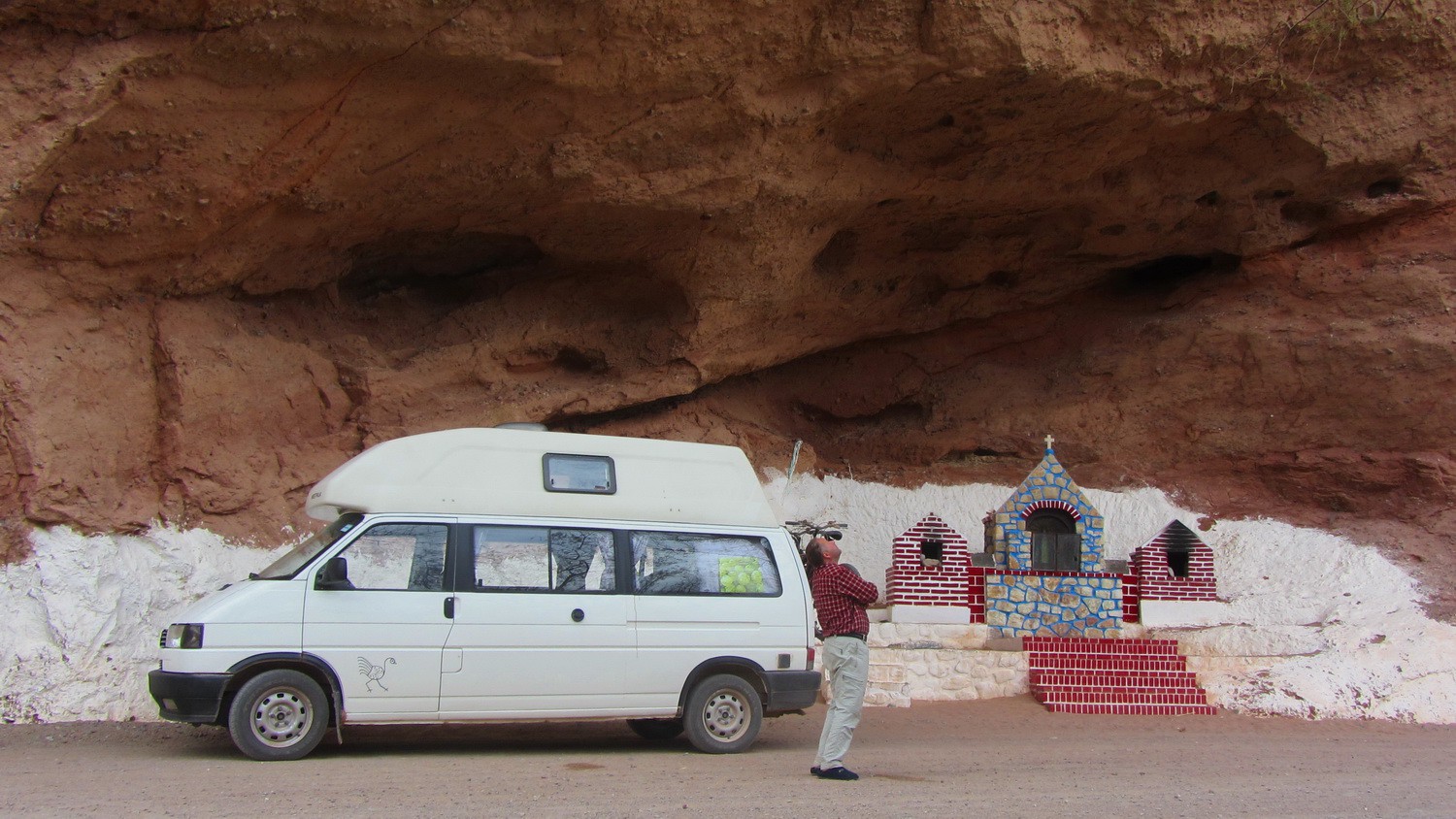
Cave on Ruta 40 some kilometers North of Cachi
Close to the Graneros Incaicos de La Poma - The barns of the Incas
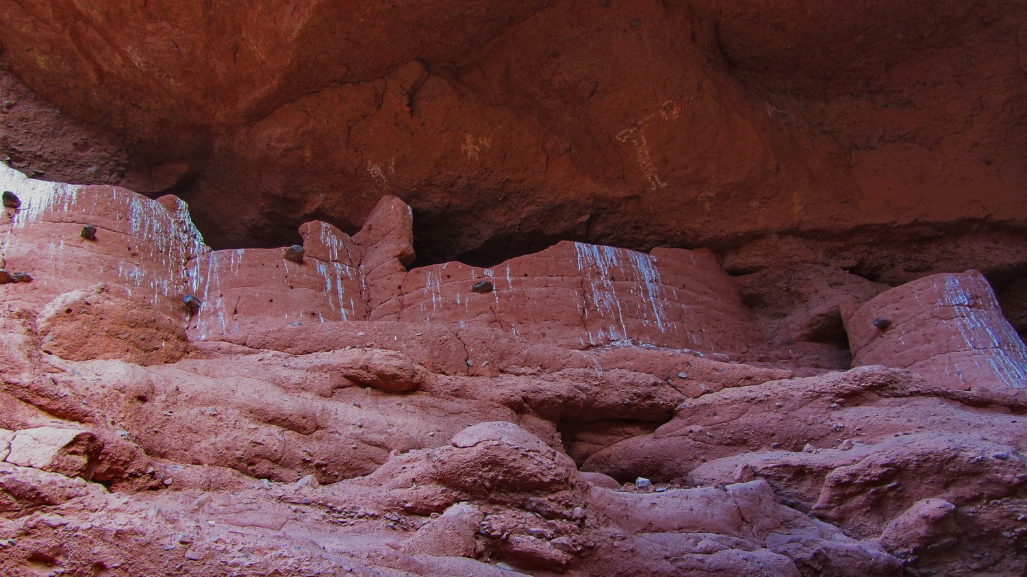
Here the Incas store grain, corn, wool and other objects
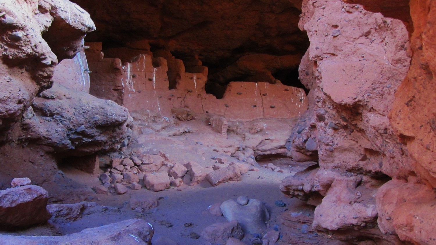
Another view of the barns Graneros Incaicos de La Poma
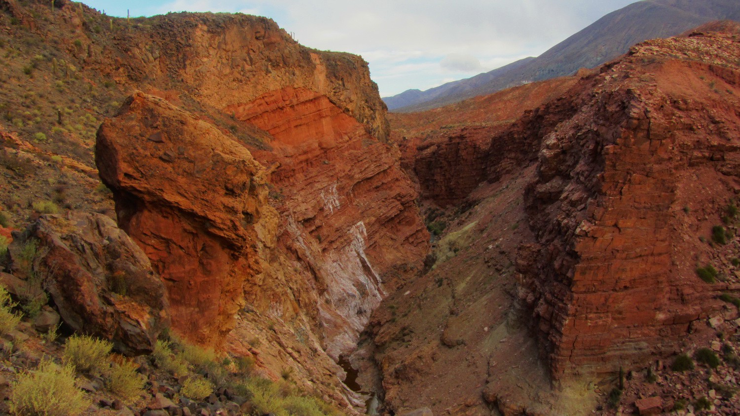
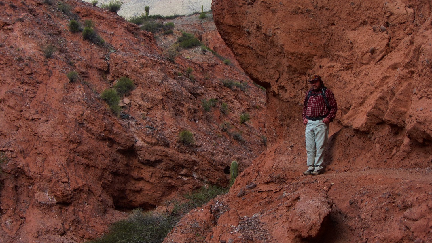
The gorge South of the Puente del Diablo - The bridge of the devil
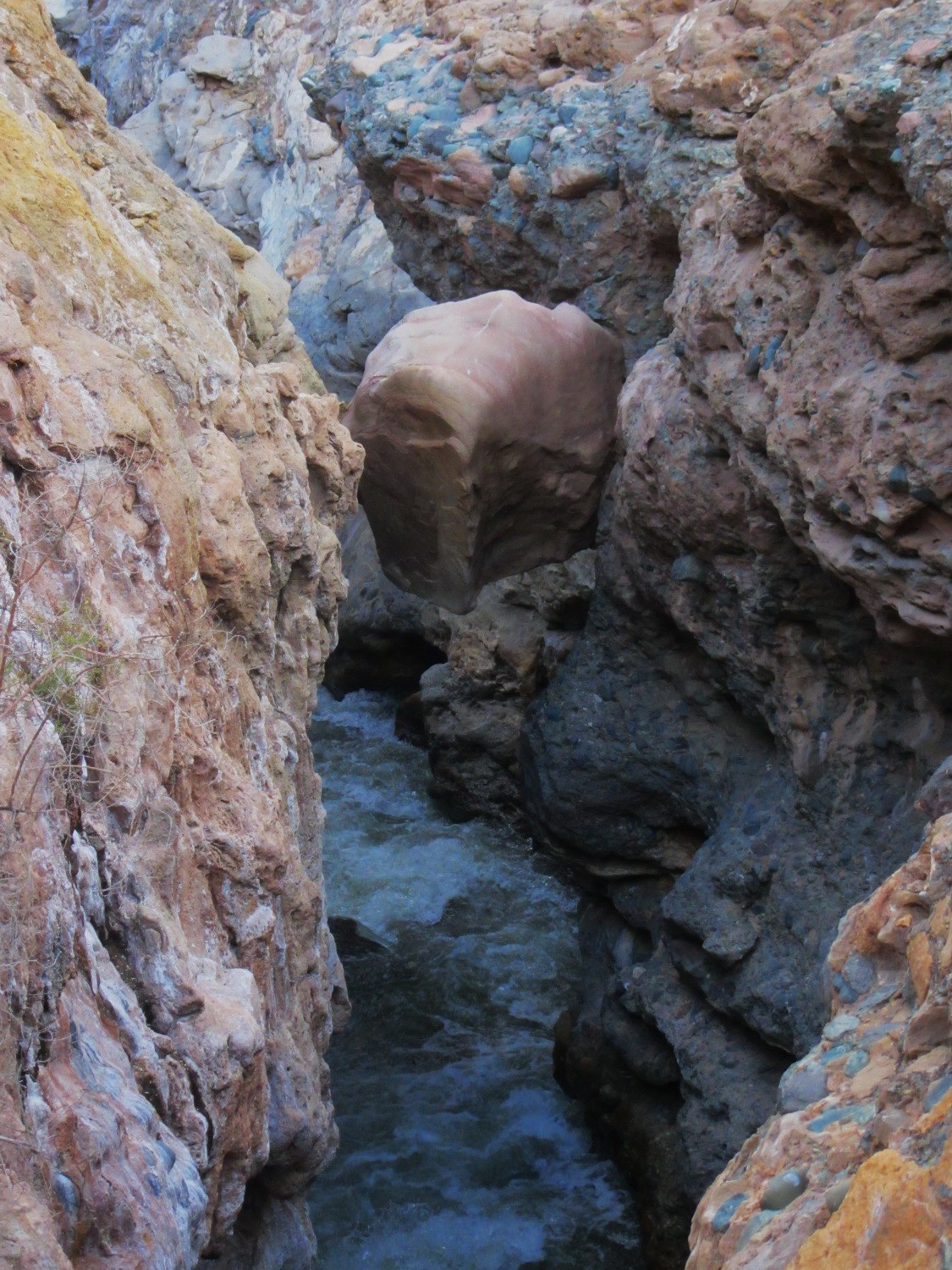
Jammed rock
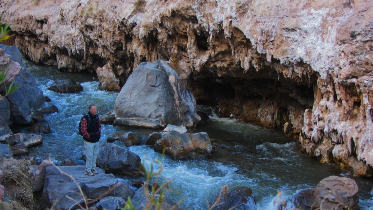
North of Puente del Diablo
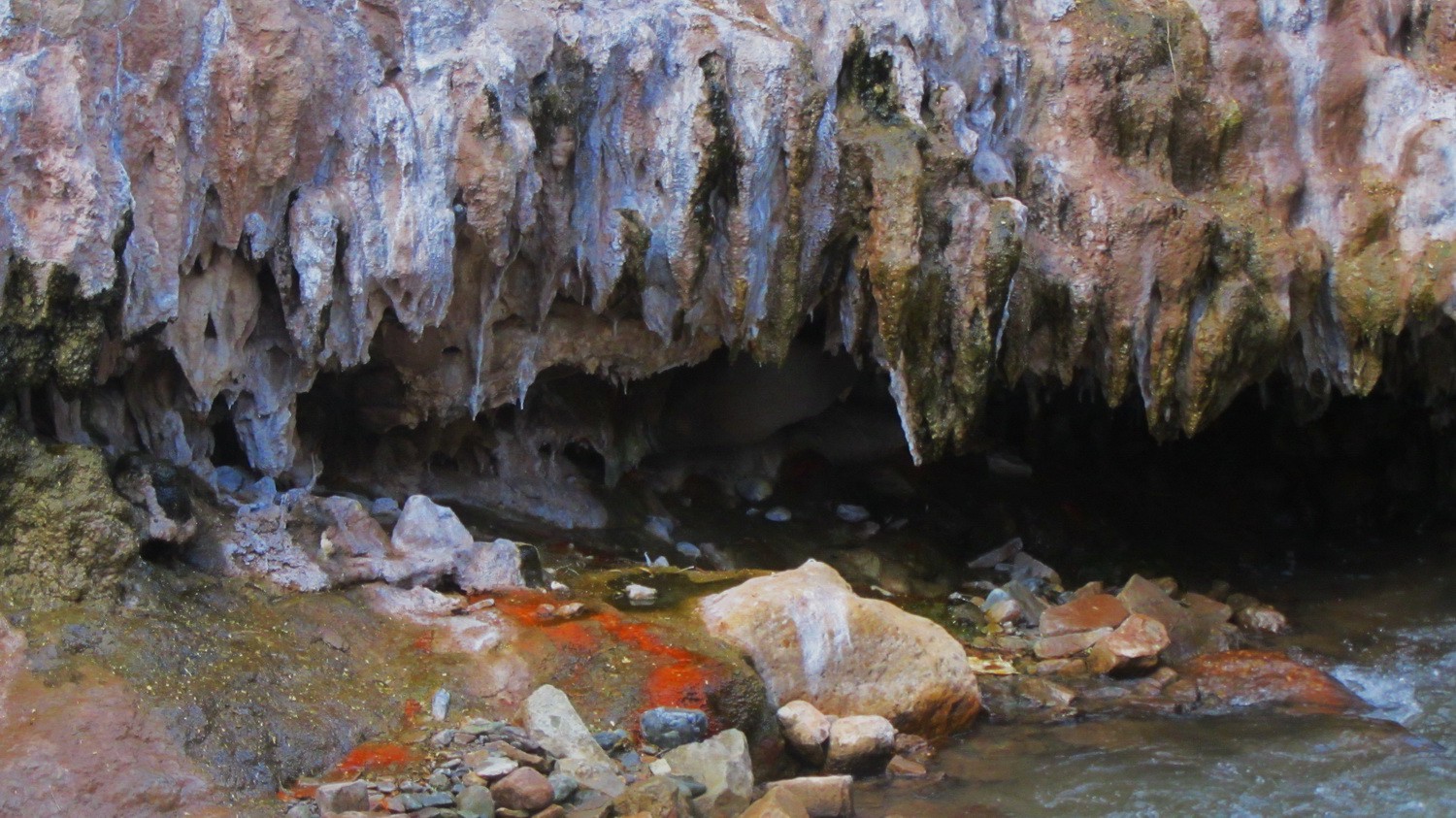
Stalagmites of the Puente del Diablo
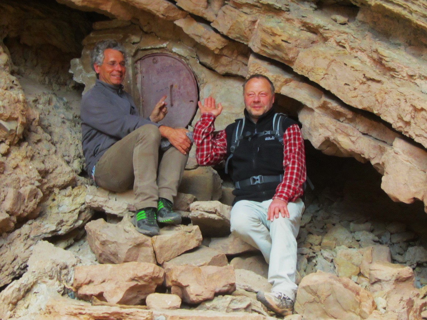
Alfred and Tommy under the natural bridge Puente del Diablo
The two small volcanoes Los Gemelos (left northern cone 3555 meters sea-level, right southern cone 3500 meters)
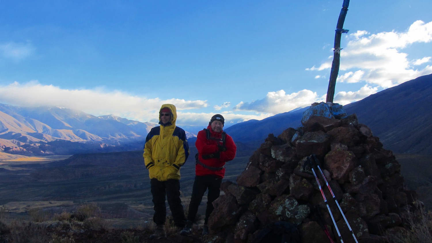
Alfred and Tommy on top of the northern cone of Los Gemelos
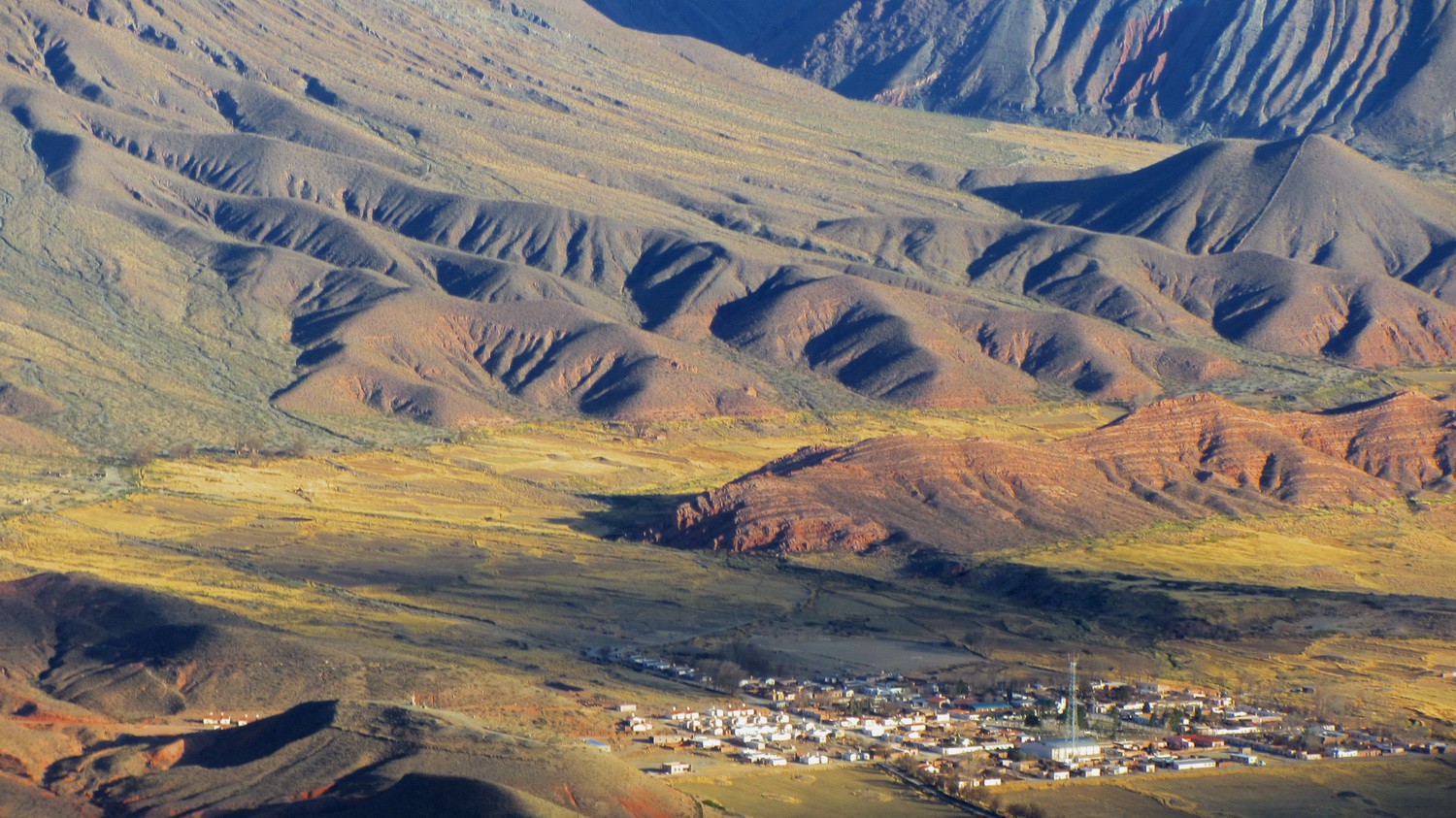
View to the village La Poma
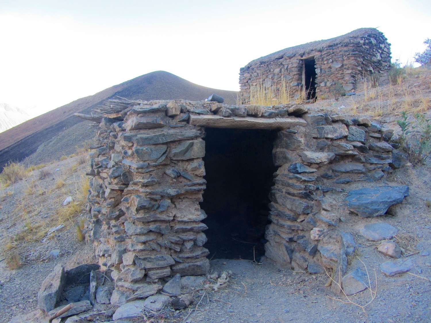
Deserted farm house on the trail to the volcanoes Los Gemelos
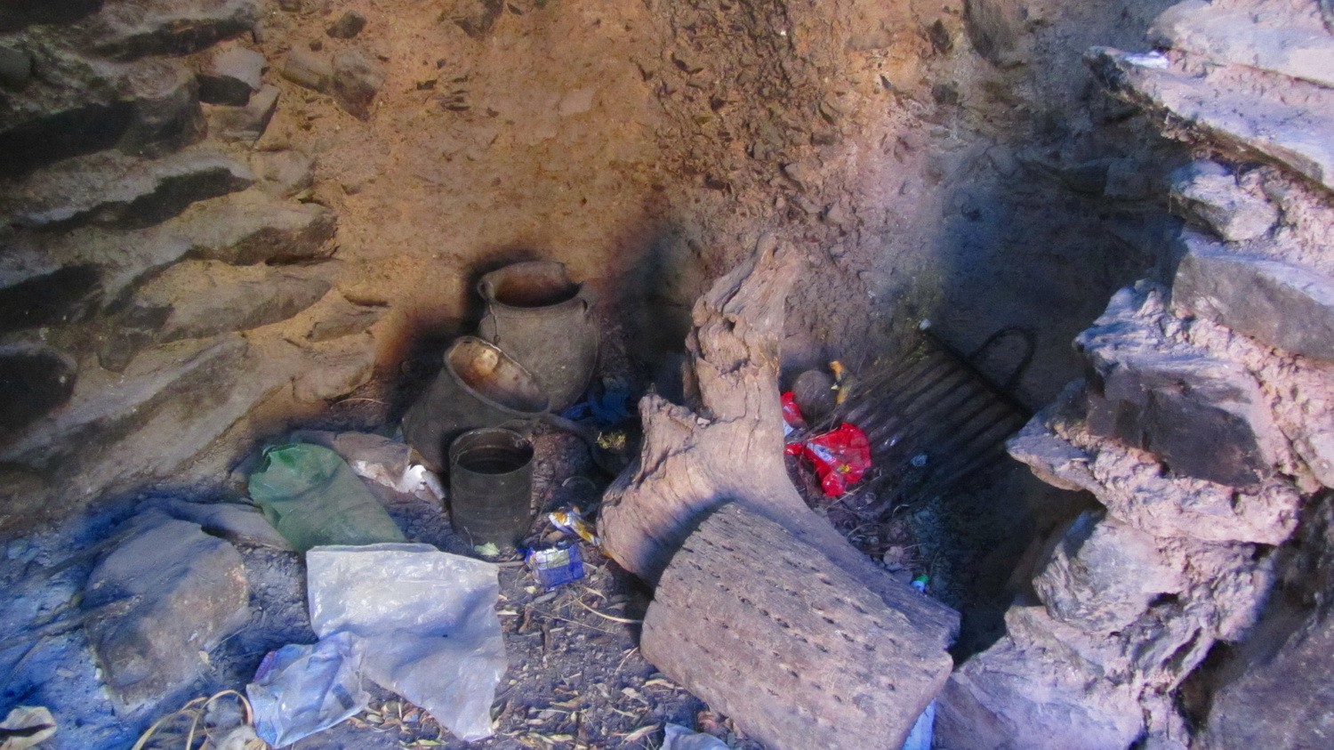
In the deserted farm house
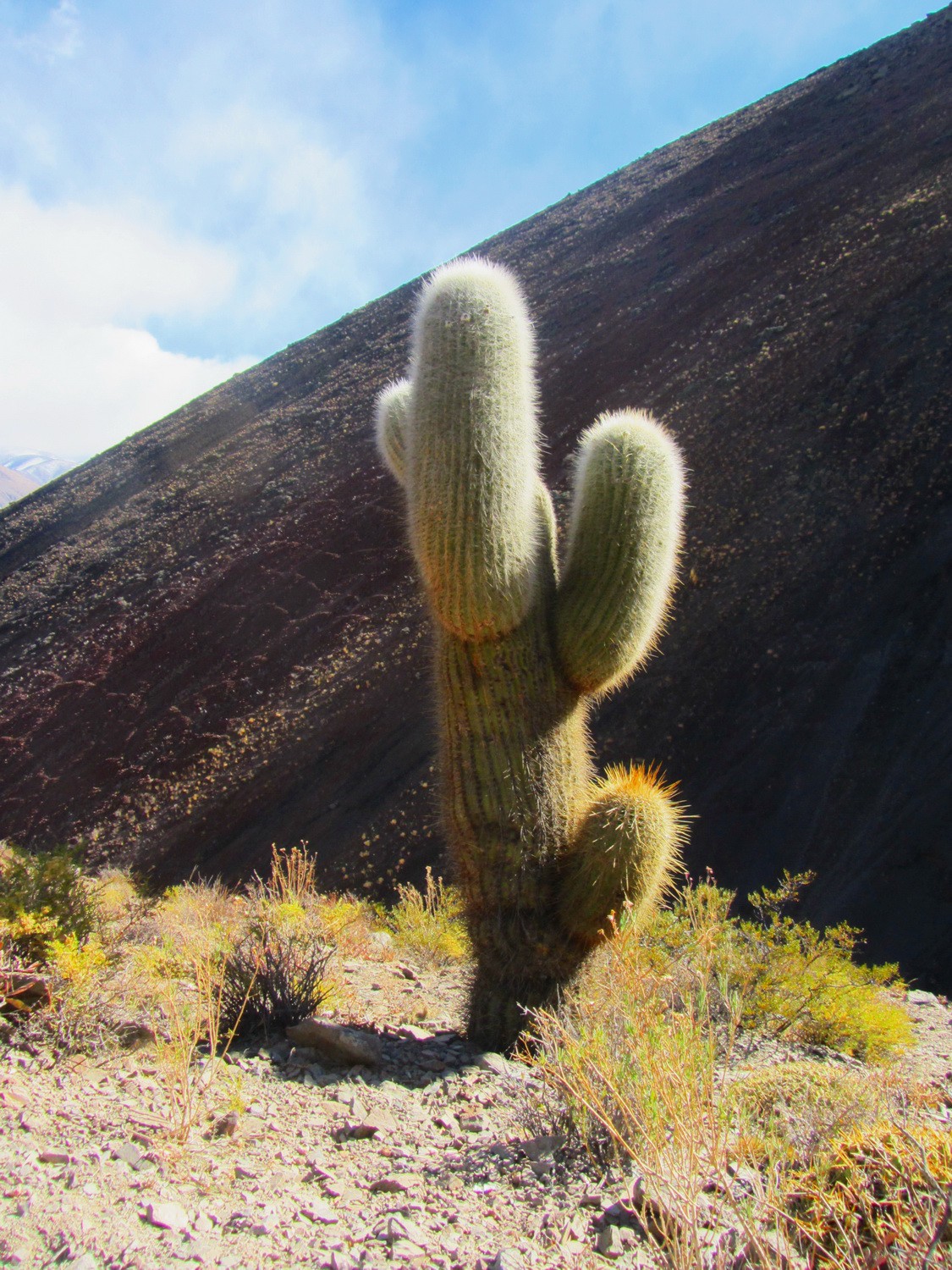
Cactus with the lava slope of the southern cone
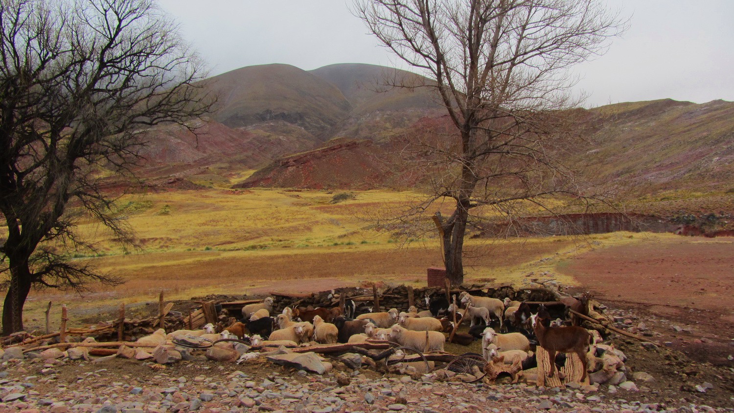
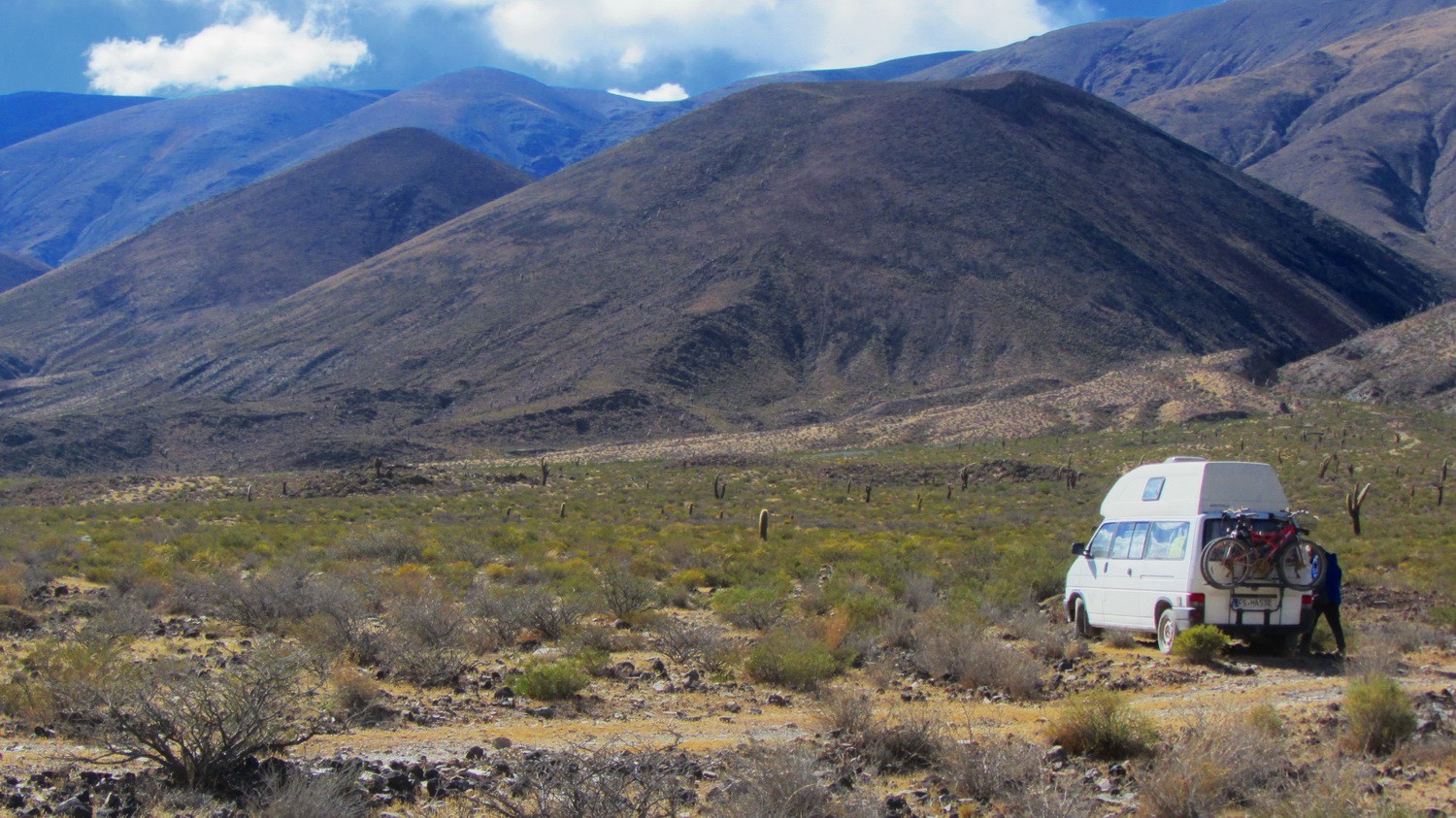
Alive farm on the street Ruta 40
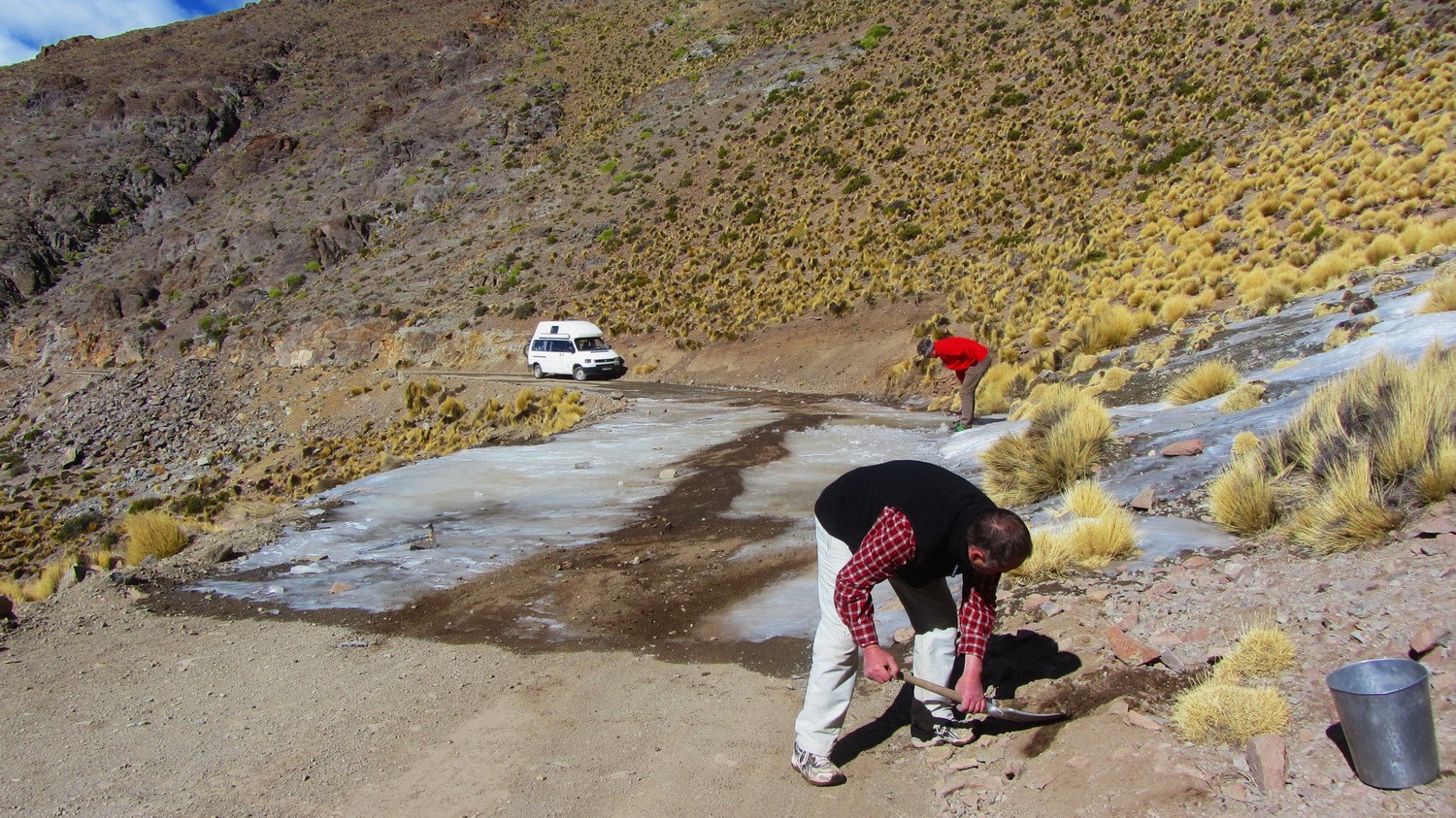
Removing and softening the ice on the street to the pass Abra del Acay - more than 30 meters!
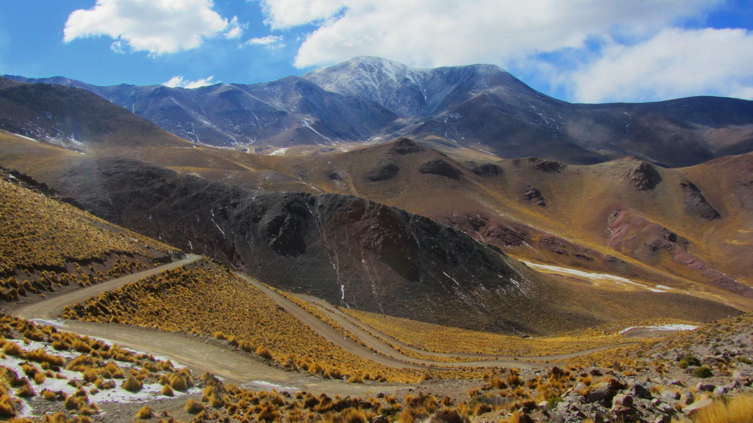
Ruta 40 seen from the icy part with 5950 meters high Nevado de Acay in the background
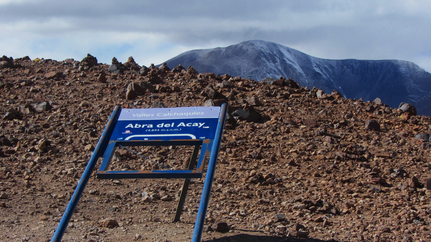
The highest point of the more than 5000 km long Ruta 40: Abra del Acay with 4895 meters sea-level
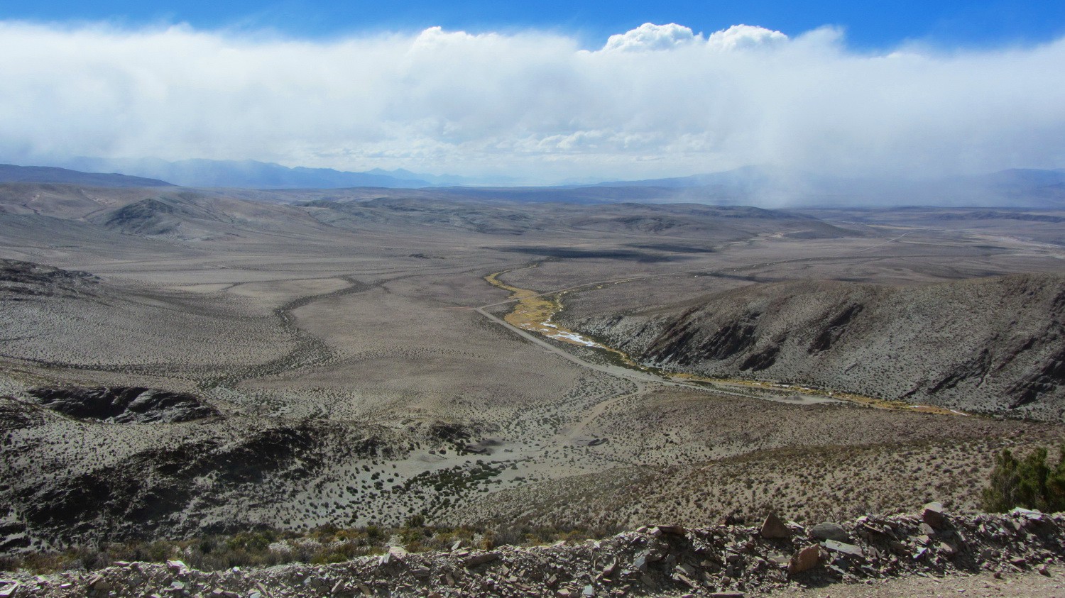
Northern view from Abra del Acay
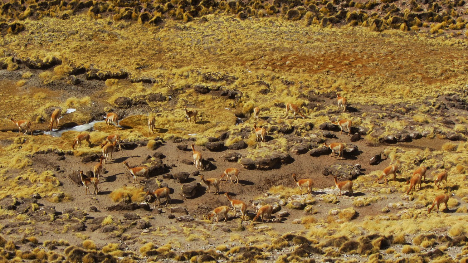
Vicunias on the northern slopes of Abra del Acay
Northern side of Nevado de Acay
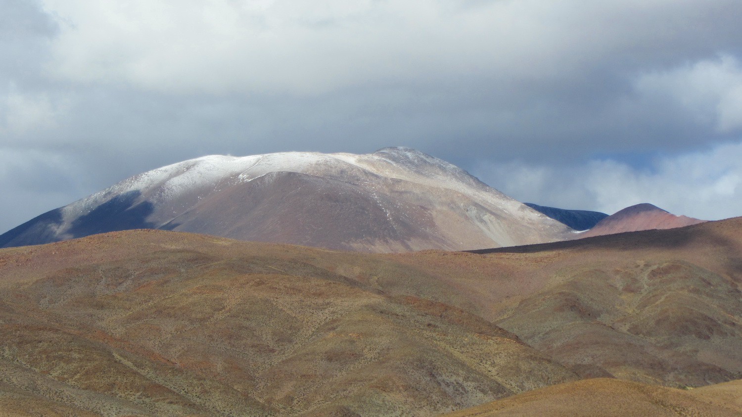
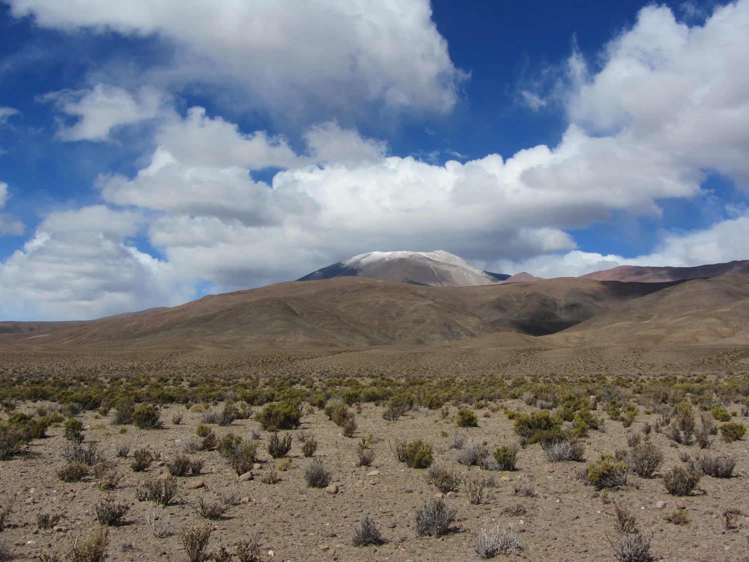
Snowy Nevado de Acay
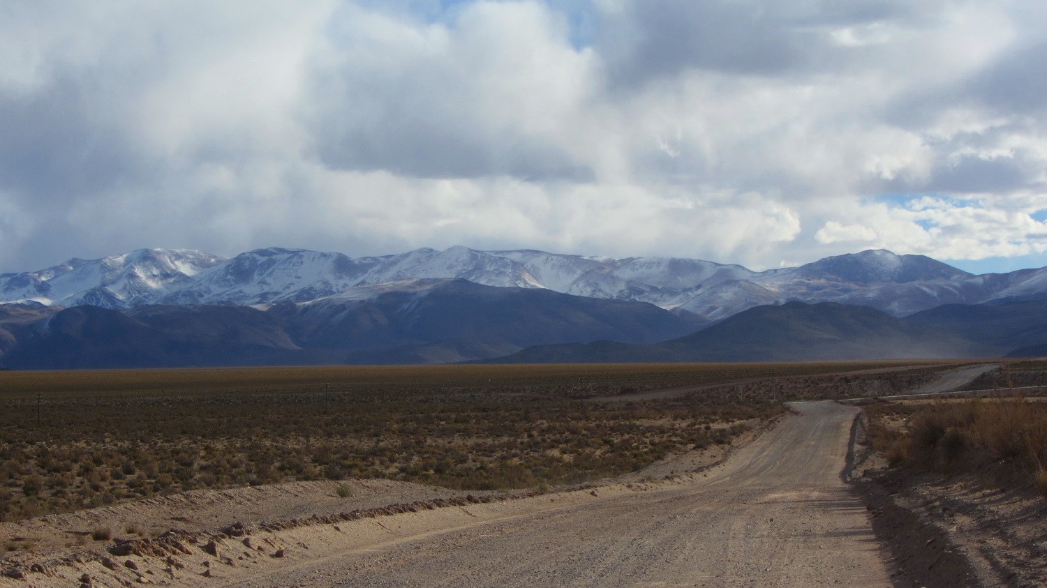
Ruta 40 on the way to San Antonio de los Cobres
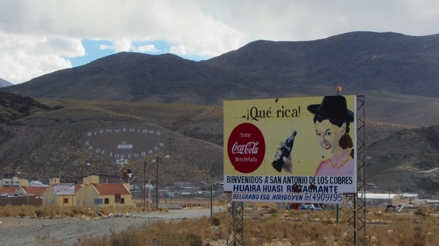
3775 meters high San Antonio de los Cobres
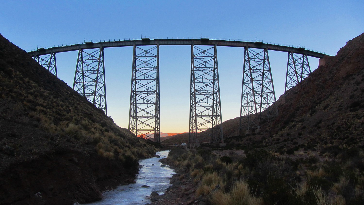
Railway bridge Viaducto La Polvorilla 20 km West of San Antonio de los Cobres with frozen stream at sunrise
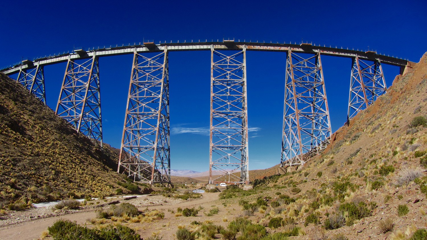
Viaducto La Polvorilla in the sun
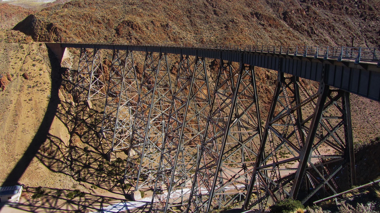
Viaducto La Polvorilla seen from the top
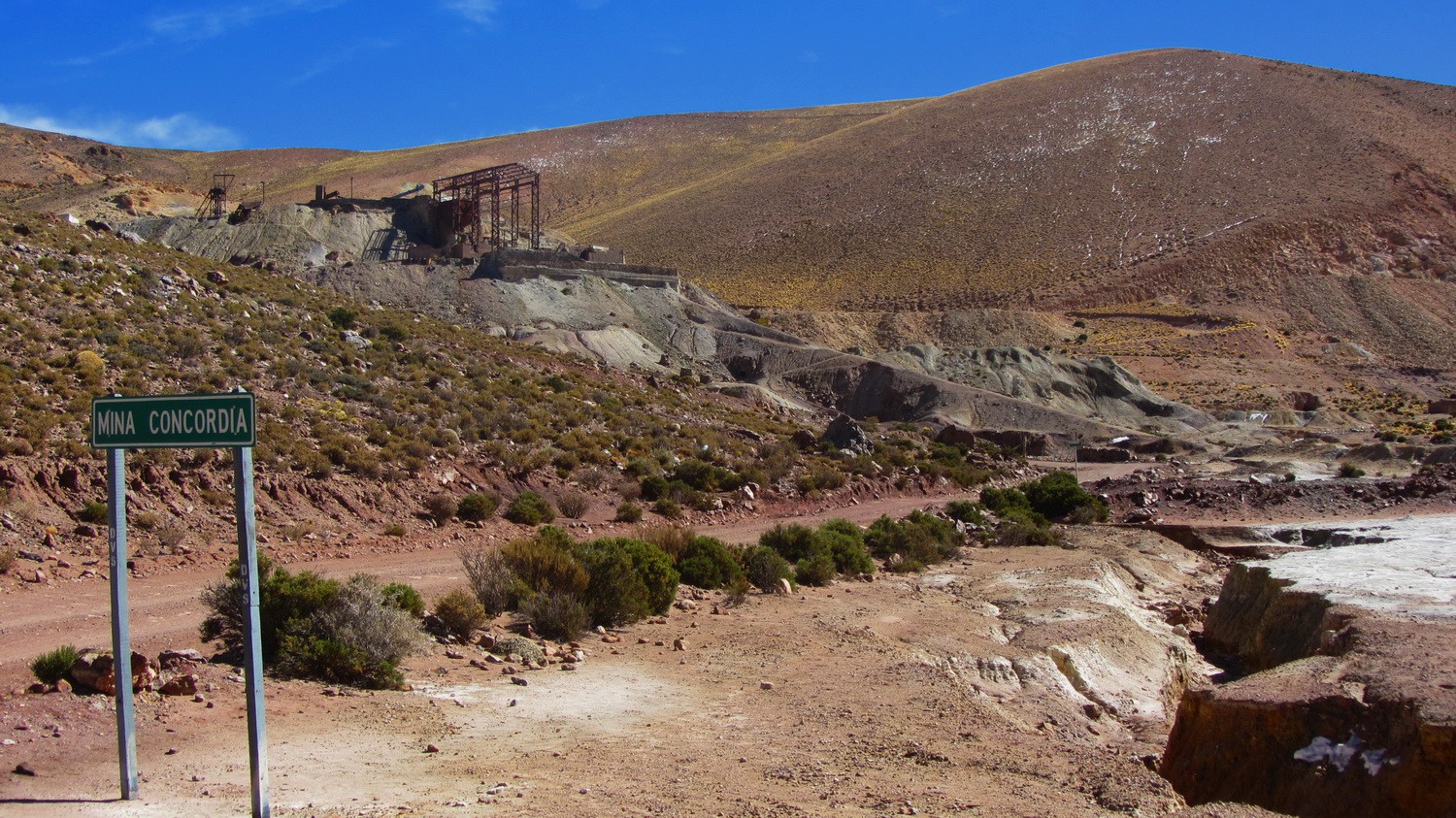
Mine Concordia on the street to the Viaducto La Polvorilla
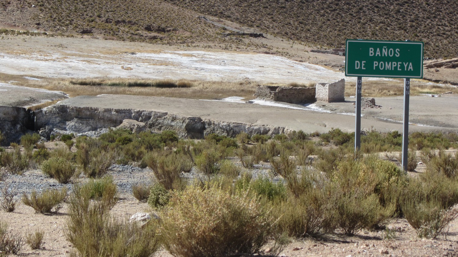
Hot springs Banos de Pompeya - unfortunately ruinously
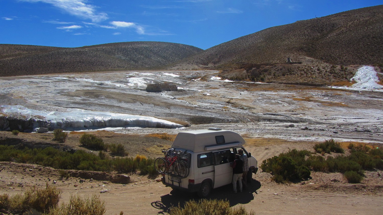
Our motor-home with the hot springs
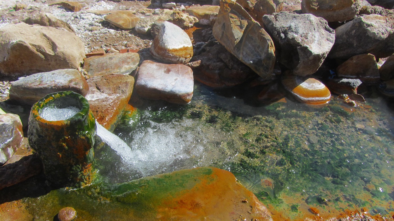
Hot water
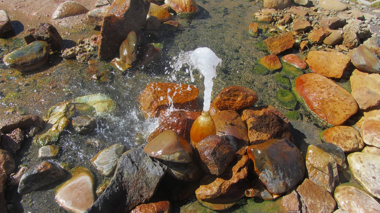
Sputtering hot water of the Banos de Pompeya
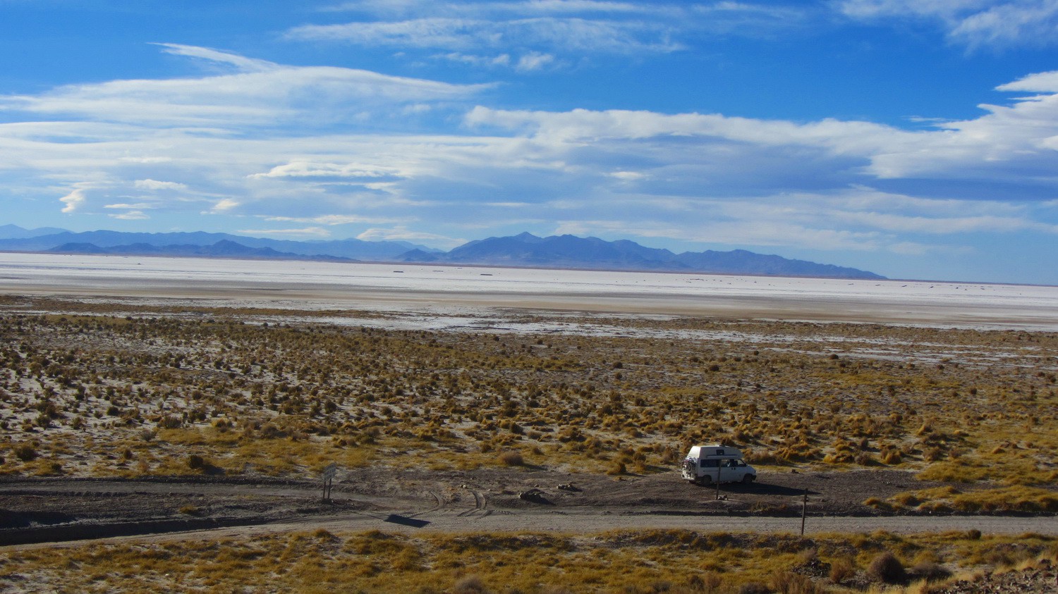
Ruta 40 with the huge salt lake Salinas Grandes
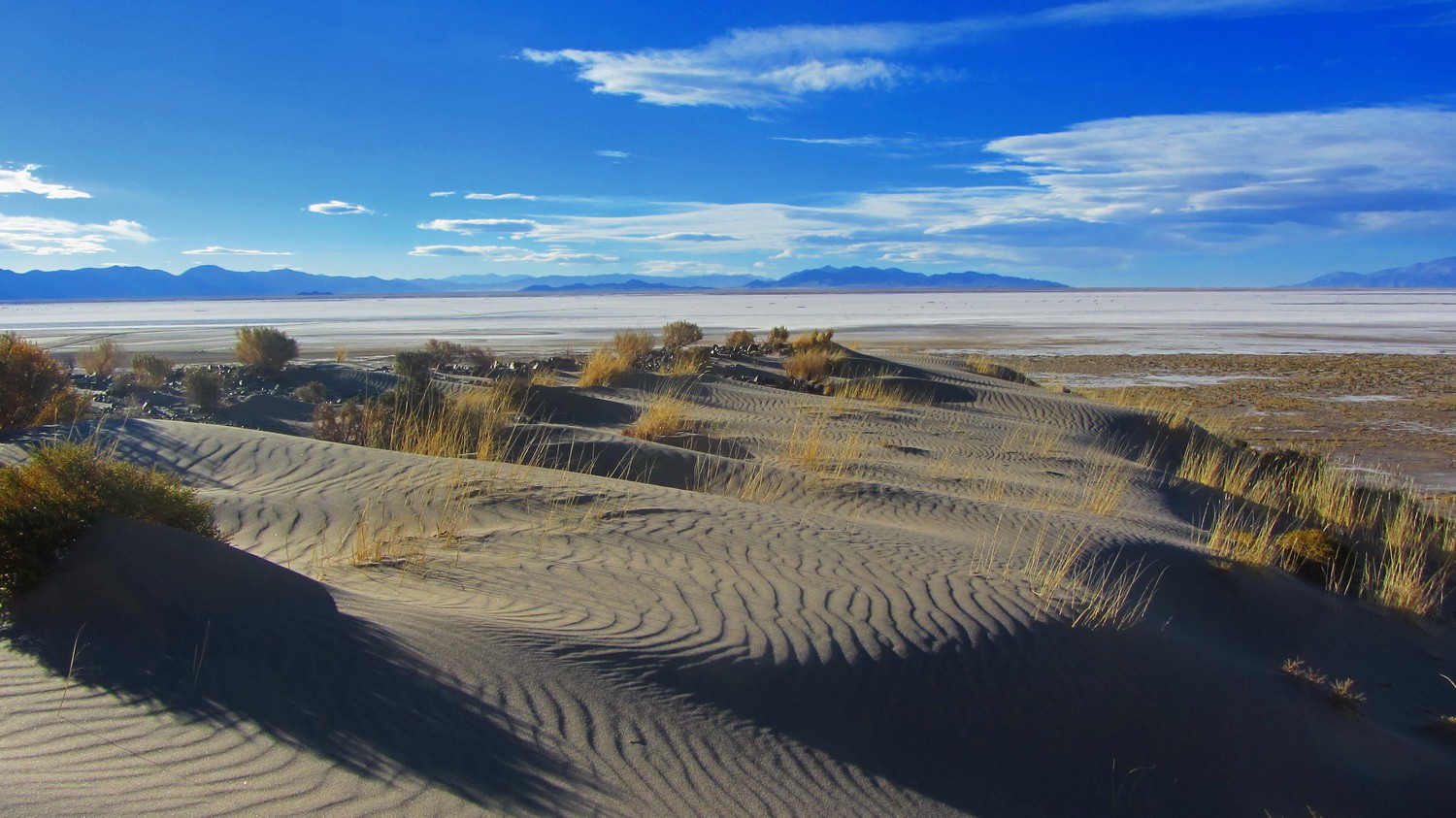
Dunes with Salinas Grandes
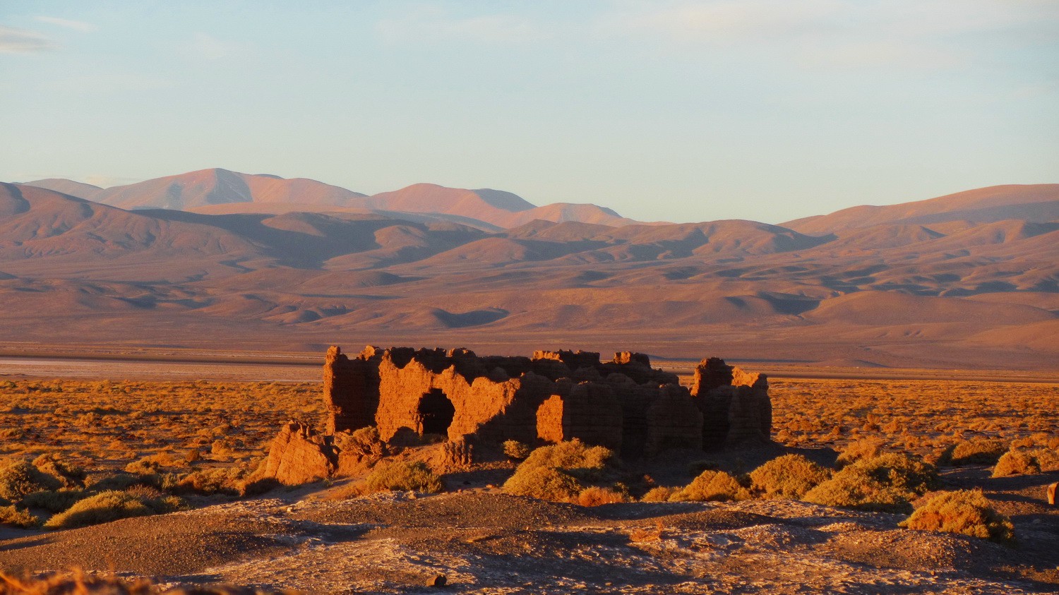
Ruin at sunset
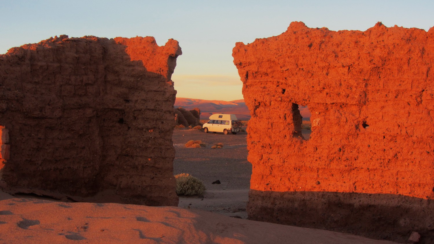
Cozy sleeping place on Ruta 40
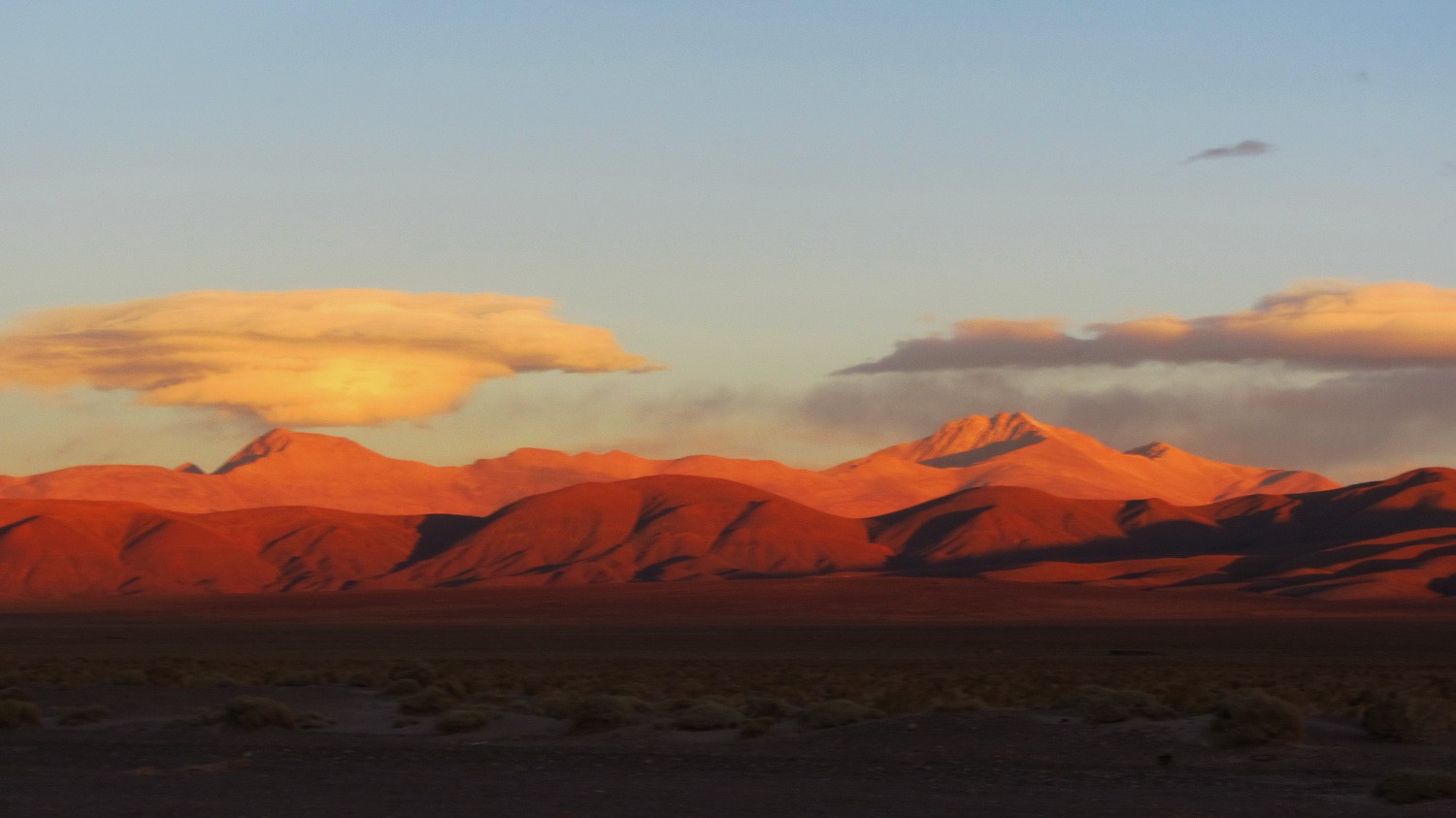
5900 meters high Nevado de Chani at sunset
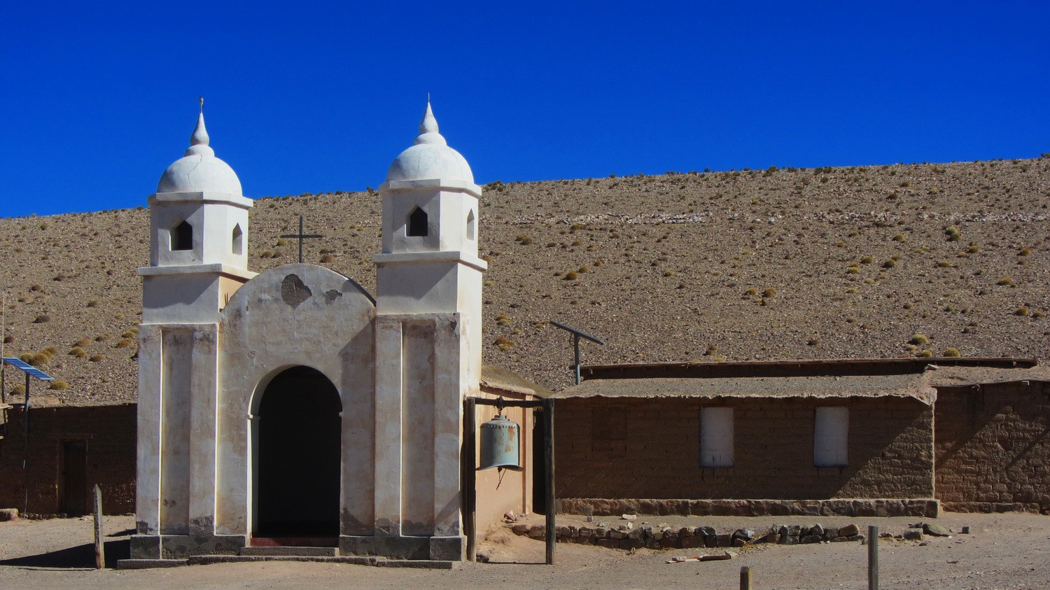
Church of Tres Morros
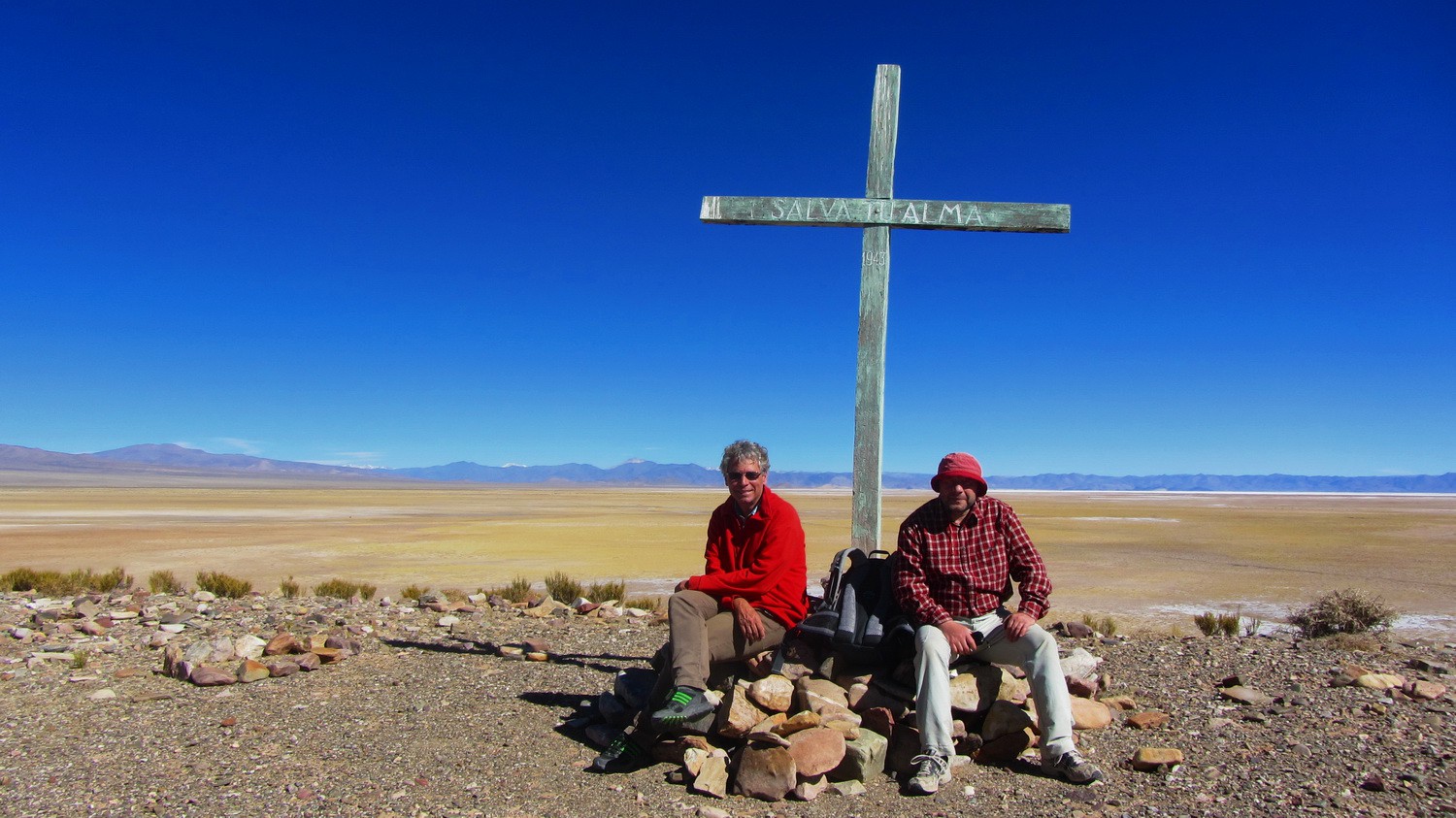
On top of the hill behind the church with Salinas Grandes in the background
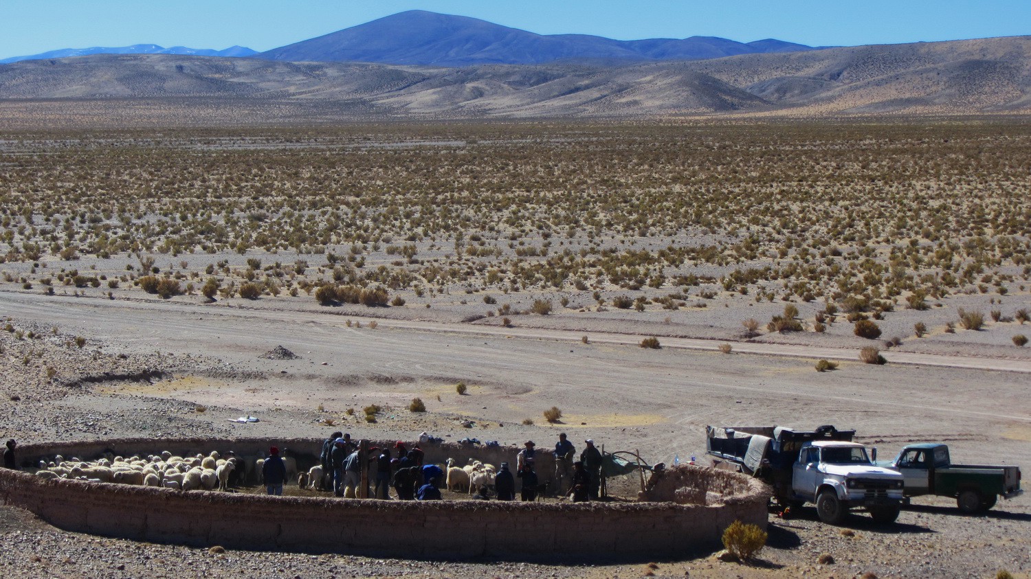
Shearing sheep
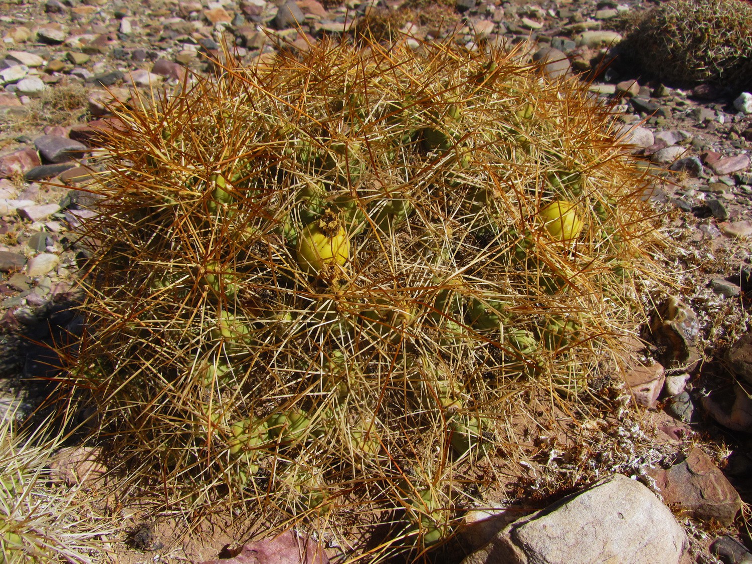
Spiky cactus with yellow fruits
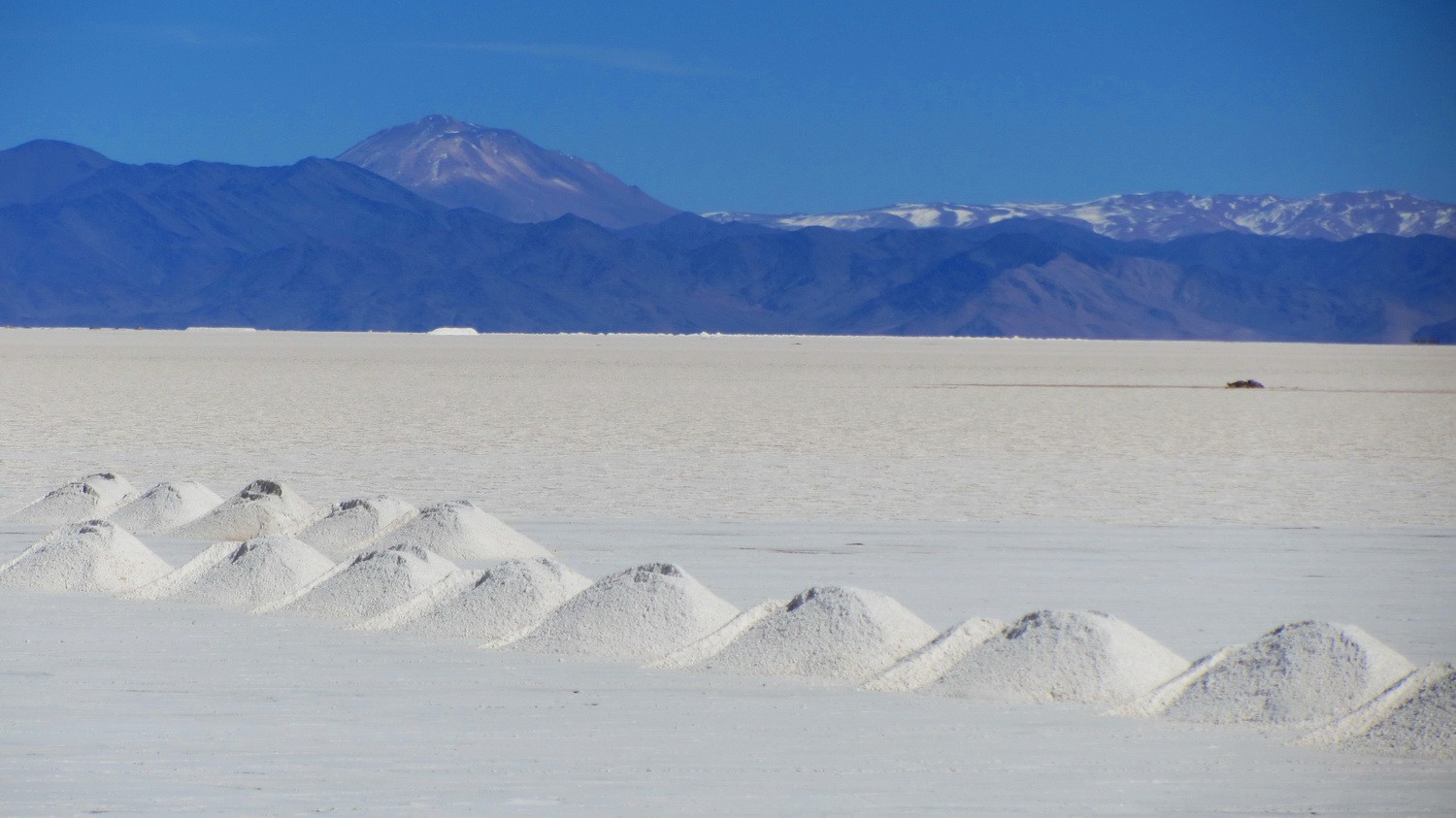
Crossing Salinas Grandes
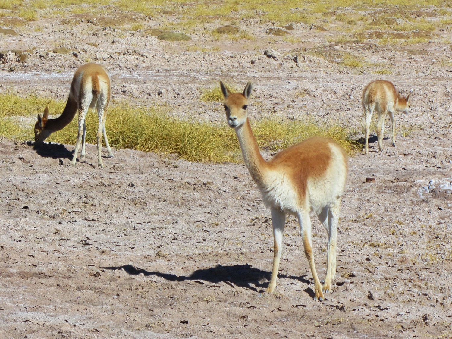
Vicunias on the shore of Salinas Grandes
Valley close to Susques seen from Ruta 52, the street to Chile via Paso de Jama
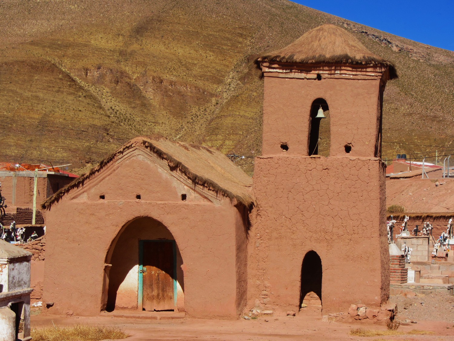
Church of Susques
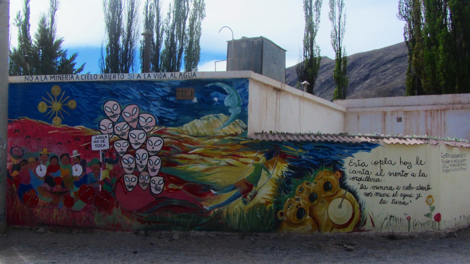
Painting in Tilcara
Landscape on the Ruta 9 / 40 between Abra Pampa and La Quiaca
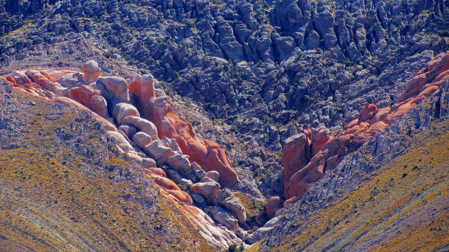
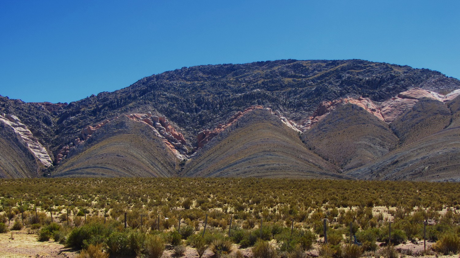
Colorful rocks
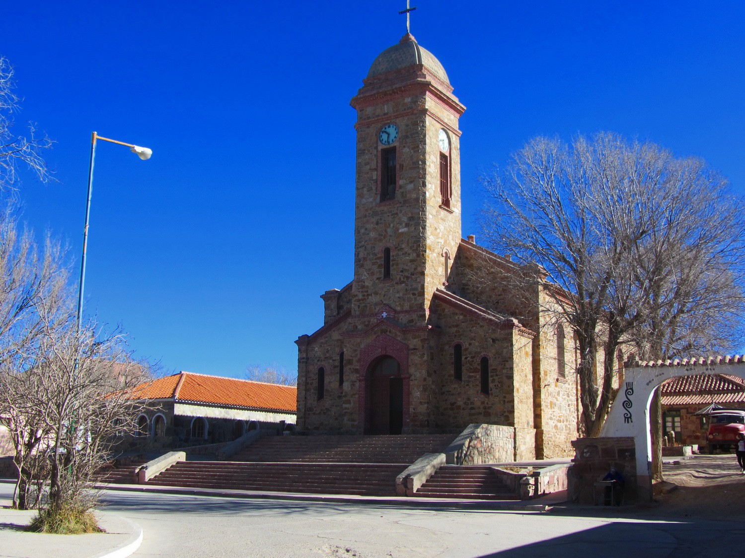
Church of La Quiaca, the border town to Bolivia
Powered by Phoca Gallery