Punta Arenas is with 140,000 inhabitants the biggest city in southern Patagonia and the capital of the XII region Magallanes y Antartica of Chile. The busy industrial town is located on the Strait of Magellan and it is the most important port in this area. It is also a famous cruise and tourist destination.
Its environment is beautiful with forests, mountains, lakes and the Pacific Ocean. Few kilometers West of Punta Arenas is the National Park Reserva Nacional Magallanes with a lot of nature including hiking capabilities and viewpoints. But there are also a small skiing area, many radio transmitters and a military station on its highest point Monte Fewton.
South of Punta Arenas at the very end of continental South America is a remote area on the Strait of Magellan with superb trekking possibilities like Monte Tarn (825 meters), or the lighthouse Faro Cabo San Isidro.
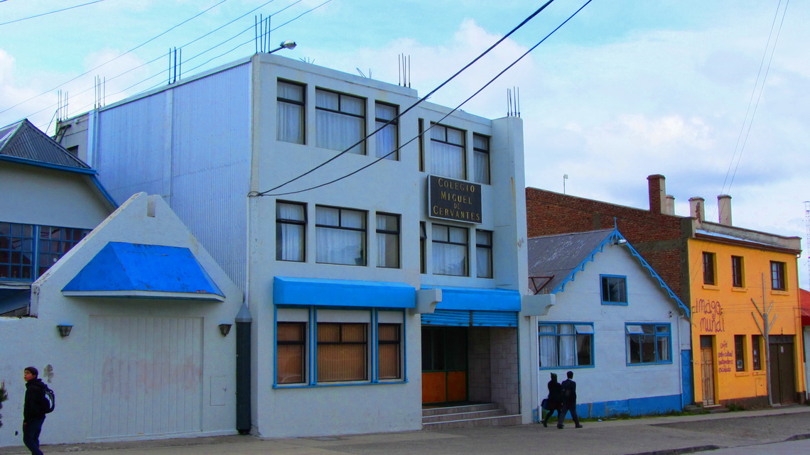
Our daughter Eva stayed in Punta Arenas the whole year 1999 as a exchange student. She visited the Colegio Miguel de Cervantes, and this was a must for us to see. When we came to the school and looked around the reception Lady asked us about our purpose. After telling her that our daughter had been a schoolgirl here, she took the phone immediately and called the Director of this school. The Director gave us a warm welcome, we chatted a lot with her and she and her assistant showed us the impressing facilities of the school - Thank you very much. Unfortunately she did not know Eva, because she had moved to this school just few years ago.
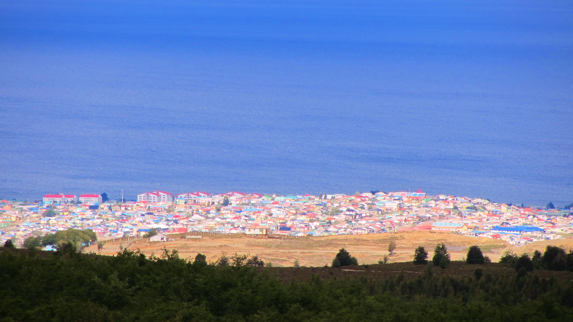
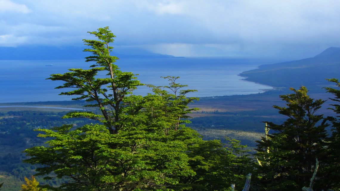
Few kilometers West of Punta Arenas are some hiking possibilities in the Magallanes National Reserve. 643 meters high Monte Fewton provides nice views to the city but its top is occupied by military and you can not access its top.
This day was very windy and relatively cold. We were happy to rest in the upper attendant's hut of the funicular of the skiing resort. There was an interesting poster inside.
Sunday, November 27th was ugly due to pouring rain. We became totally wet when we walked along the river to search for the Geocache Bocatamo Rio de las Minas. But finally we found it!
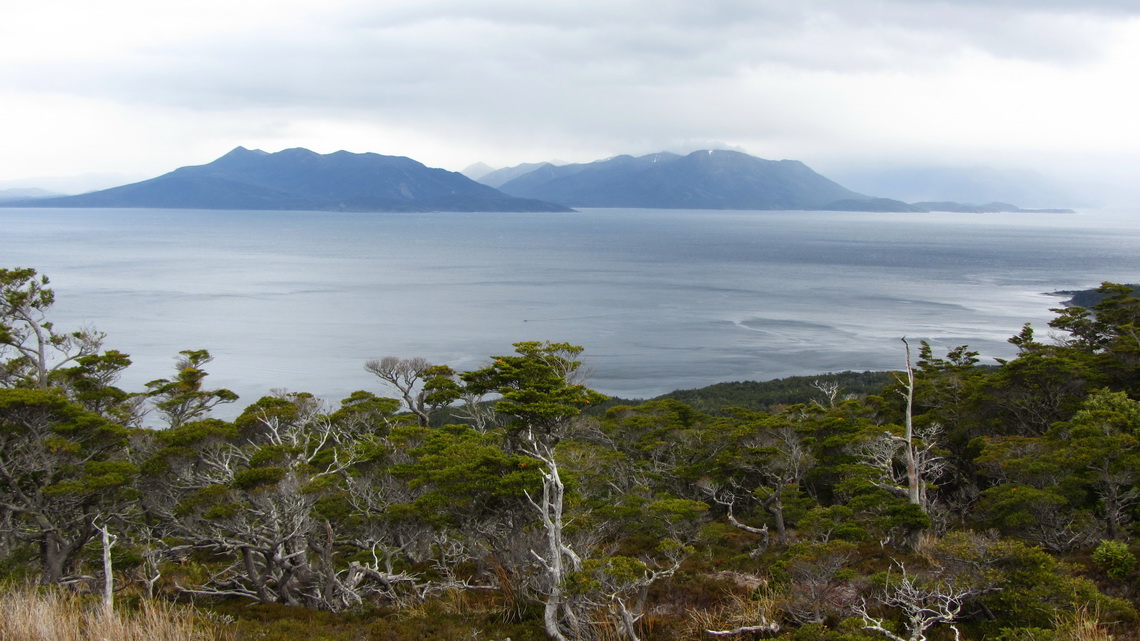
The weather on the next day was reasonable; so we headed south and walked to Monte San Felipe, a small hill of 408 meters west of Puerto Hambre but with an outstanding panorama.
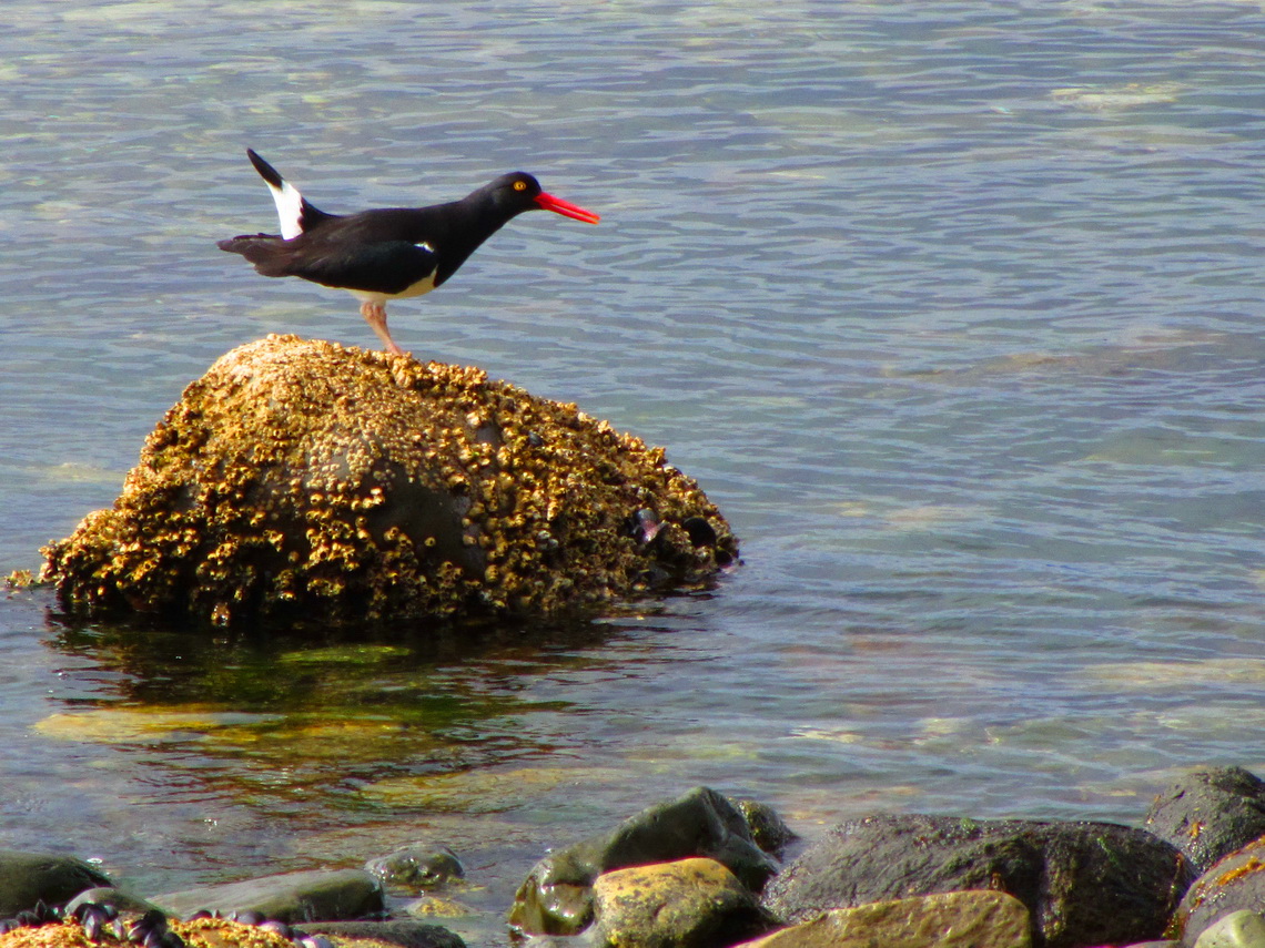
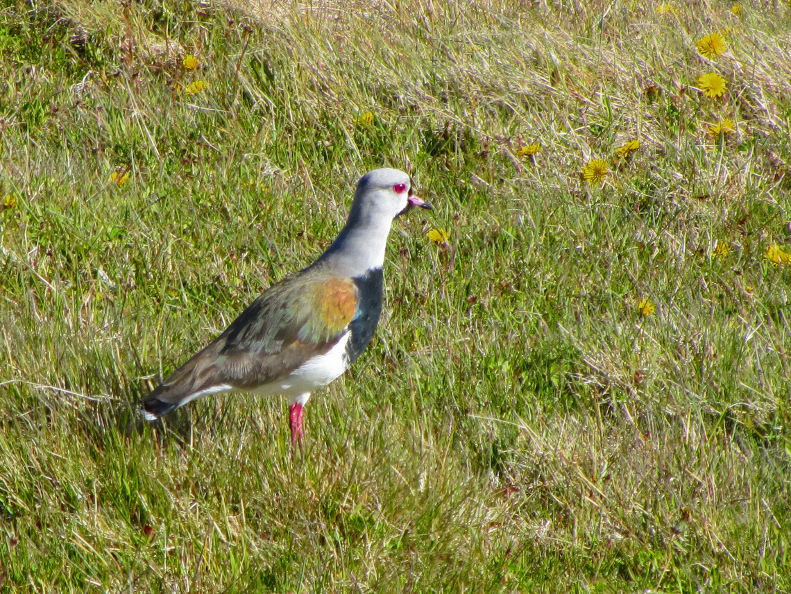
We had the dream to climb up Monte Tarn, which is the dominant mountain south of Punta Arenas. This mountain is famous for its bad weather and storms. The first ascent had been done by the British John Tarn in 1827 and also Charles Darwin had visited the summit. We found a nice spot directly on the beach south of Puerto San Juan. The ocean is full of life, we saw many dolphins and different kinds of birds.
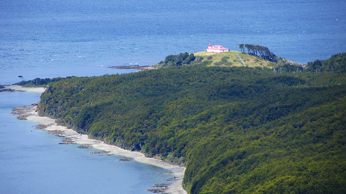
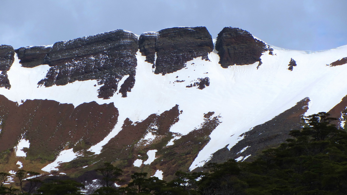
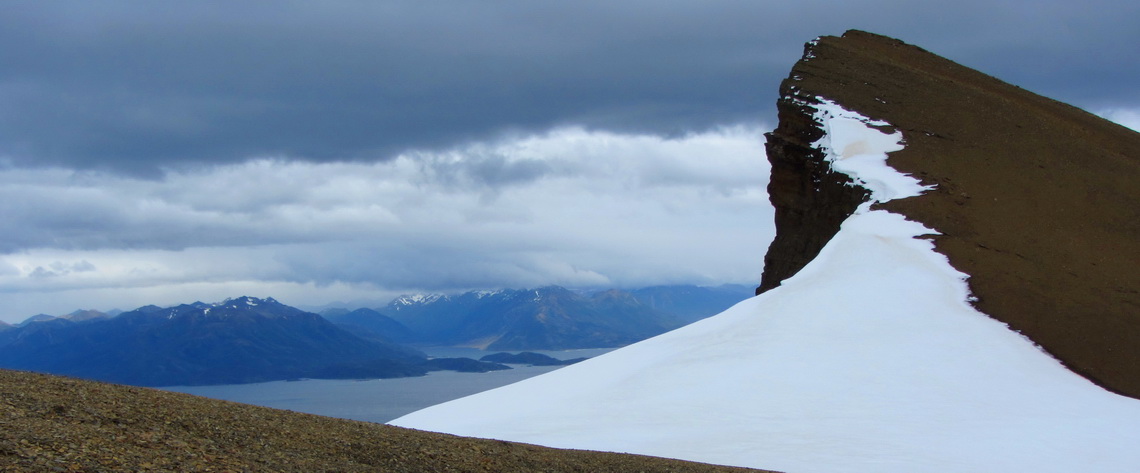
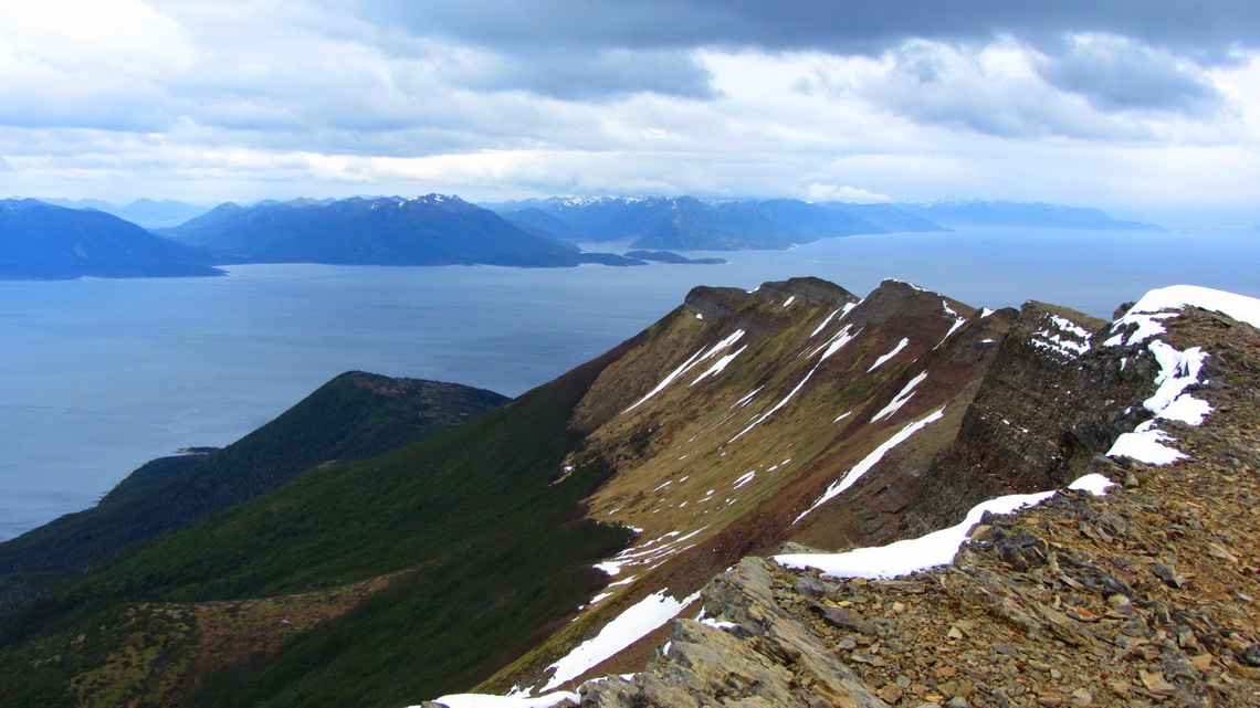
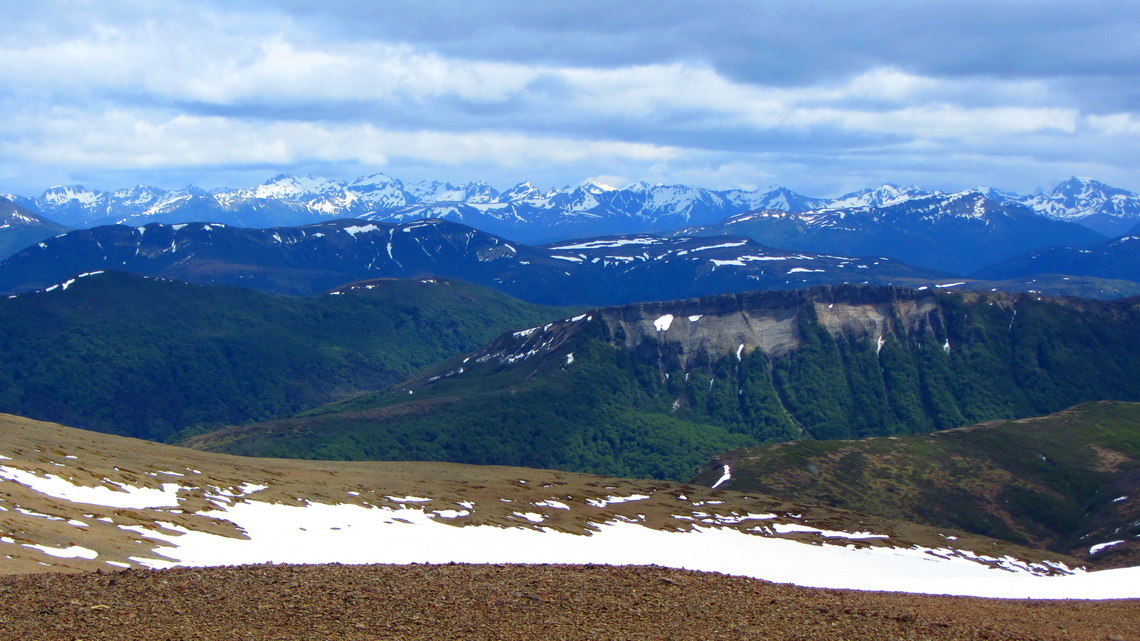
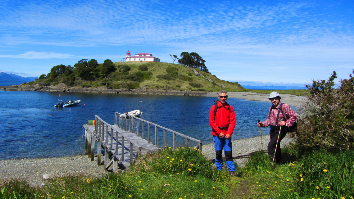
It was very cloudy in the morning of the next day; so we decided to hike along the coast to the lighthouse Faro Cabo San Isidro. But you never know in Patagonia, we took also our mountain equipment with us. After 1 hour we found the path to Monte Tarn which is well marked with red points or tapes. The weather seemed to be stable; consequently we changed our plan and headed to Monte Tarn first through a dense forest followed by a moor. Our shoes became more and more clammy, because there was a lot of water in the moor. The last part to the top was a snow gully and an easy scree ridge.
The wind on the top was heavy but we could stay more than half hour thanks to our maintain equipment. The views were marvelous and overwhelming.
Heading down was fast because we could "ski" down a lot in the snow but our shoes and feet were totally wet when we arrived at our home.
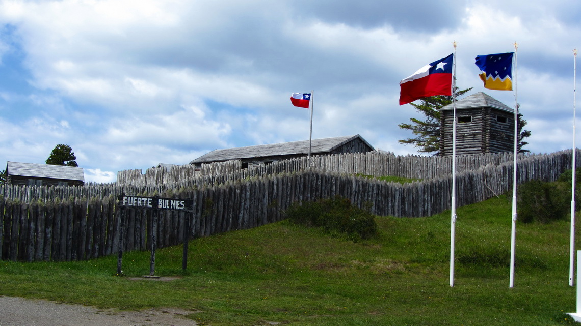
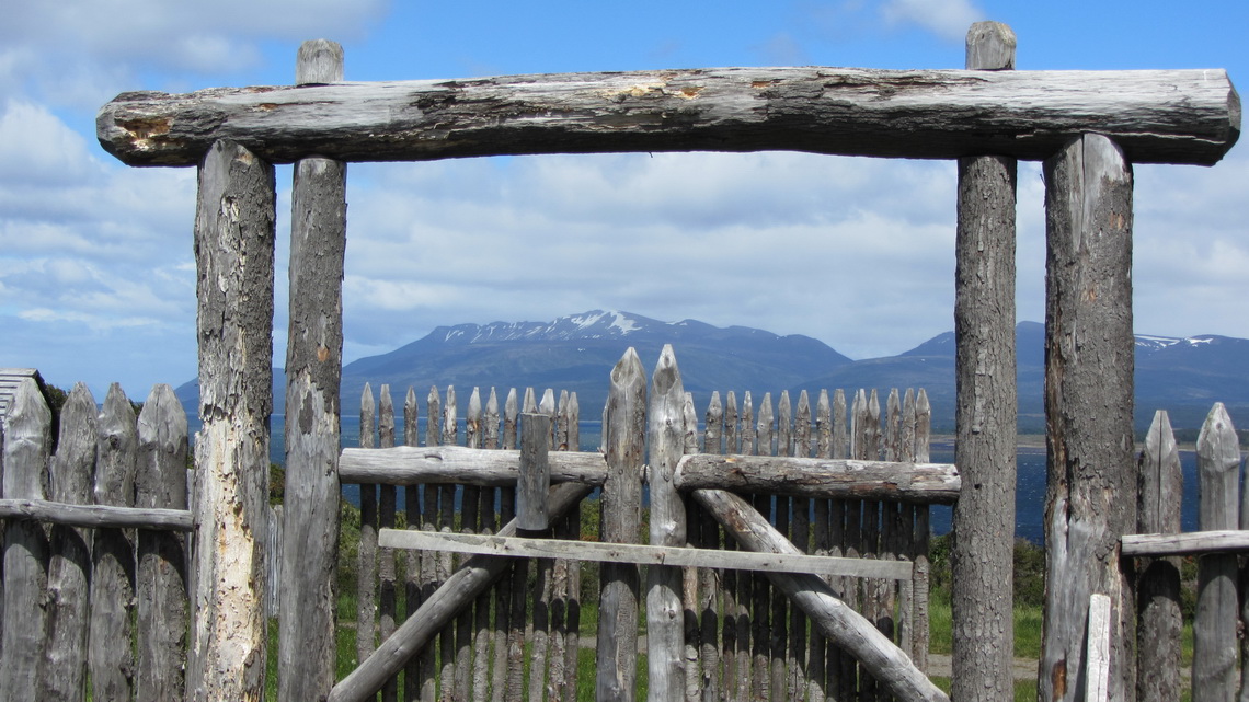
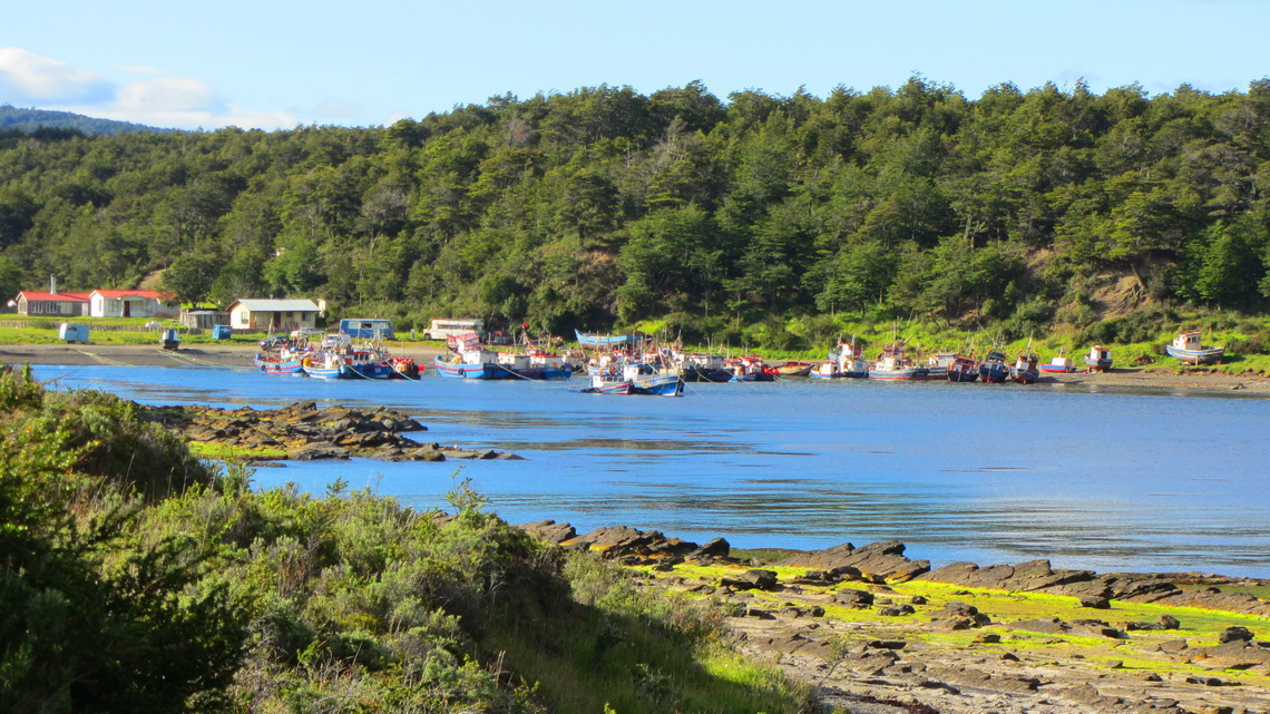
On the way back to Punta Arenas are two interesting sites: The fort Fuerte Bulnes and the harbor Puerto Hambre. The fort was built by Chile in the year 1843 to observe and monitor the Strait of Magellan. The latter one was the first settlement founded by the Spaniards in 1584. But most of them starved pitiably and it was named Puerto Hambre - the port of hunger.
In the late afternoon of November 30th 2011 we picked up Marion's brother Tommy at the airport. He had some luggage.
On the next day we showed him the city and headed back to the nice beach south of Punta Arenas. Tommy was a little bit astonished about the warm and sunny weather.
We started our hike to the lighthouse Faro Cabo San Isidro again on a cloudy day.
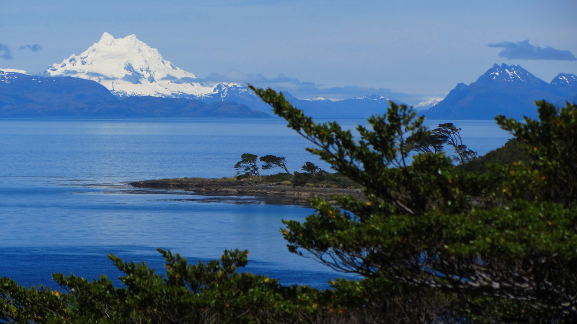
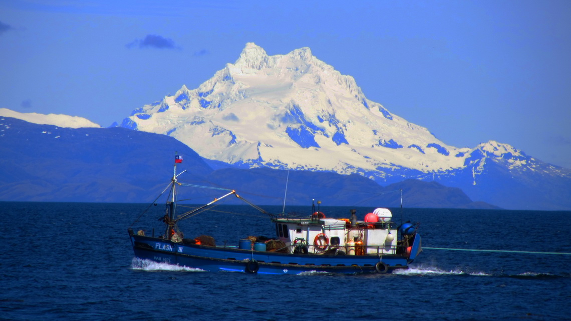
But the weather became better and better. Thus we had the vague hope to see Monte Sarmiento which is an ice cathedral with more then 2200 meters high. It is exactly the point where the Andes turn from North-South to West-East direction. West and South is the Southern Pacific Ocean with its roaring storms and violents precipitations, which smash furiously and permanently against Monte Sarmiento. According to one of our guide books seeing Monte Sarmiento is winning the first price in the lottery.
We continued on the path to Cabo Froward until we came to Bahia El Indio. The views to Monte Sarmiento were unforgettable outstanding and stunning. But we saw also other things like the old remains of an antique whaling station.
For more pictures, please click here For a map of our itineraries, click here
To download the GPS coordinates file of Chile, click here





Answer from Marion and Alfred: Dear Caitlin, the trail to the summit of Monte Tarn was hard to find because of snow and mud. We recommend a GPS device (Garmin or mobile phone) and to download a GPX track file from wikiloc, e.g. http://www.wikiloc.com/wikiloc/view.do?id=4006753. Unfortunately we found nothing for Monte San Felipe in wikiloc but it is easy to find if the visibility is good. Again there is no trail, we just followed the meadows
Wünsche Euch alles Gute weiterhin
Rosmary